Attractions and Places To See in Nsg Westliches Ahrgebiet - Top 3
Best attractions and places to see in Nsg Westliches Ahrgebiet include a diverse range of natural features, historical sites, and recreational opportunities. This nature reserve is characterized by its deeply cut Ahr valley, featuring steep, forested slopes and various rock formations. The area is also an integral part of the EU bird sanctuary "Ahrgebirge" and the FFH area "Ahrtal," supporting rich biodiversity. It offers a blend of natural beauty and historical insights for visitors.
Best attractions and places to see…
Last updated: July 5, 2026
V1 Launch Site Information Board on Römerstraße
Highlight • Historical Site
Translated by Google •
Tip by

Wooden wayside cross on tree stump
Highlight • Monument
Translated by Google •
Tip by

Sign up now to discover places like this
Get recommendations on the best single tracks, peaks, & plenty of other exciting outdoor places.
Sign up for free
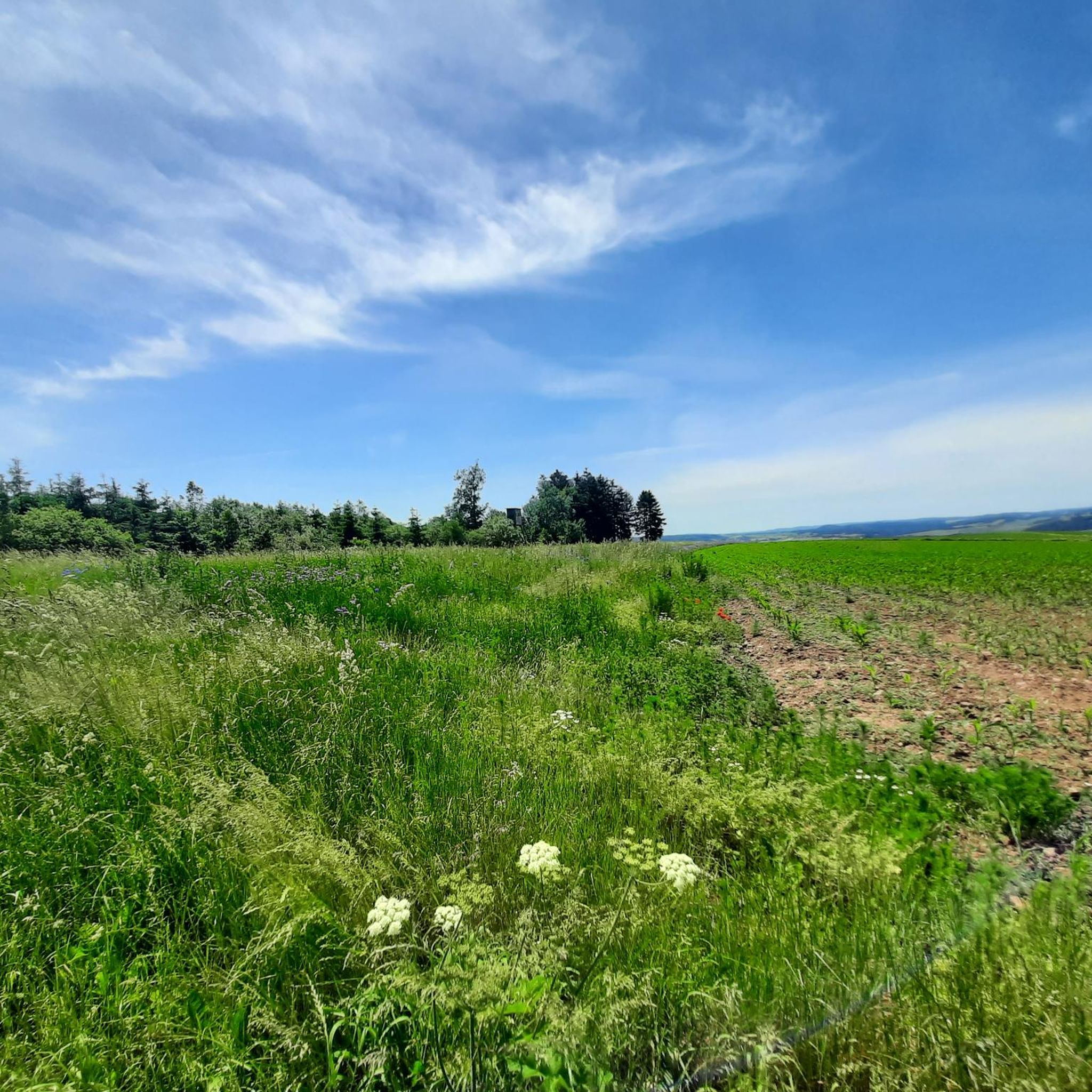
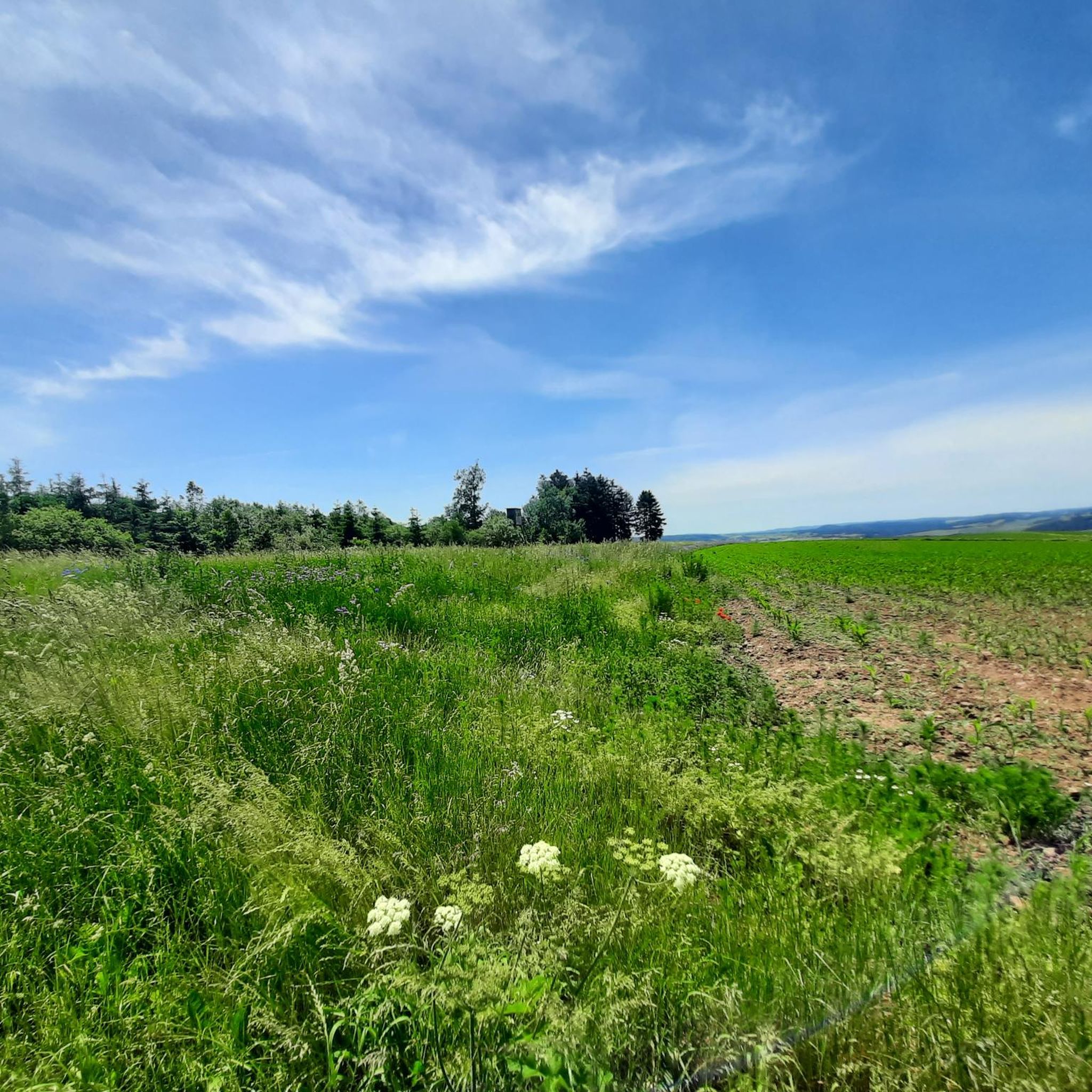
Scenic route from Aremberg to Lommersdorf
Highlight (Segment) • Cycleway
Translated by Google •
Tip by

Panoramic Lounger With View of Eifel Hills
Highlight • Viewpoint
Translated by Google •
Tip by
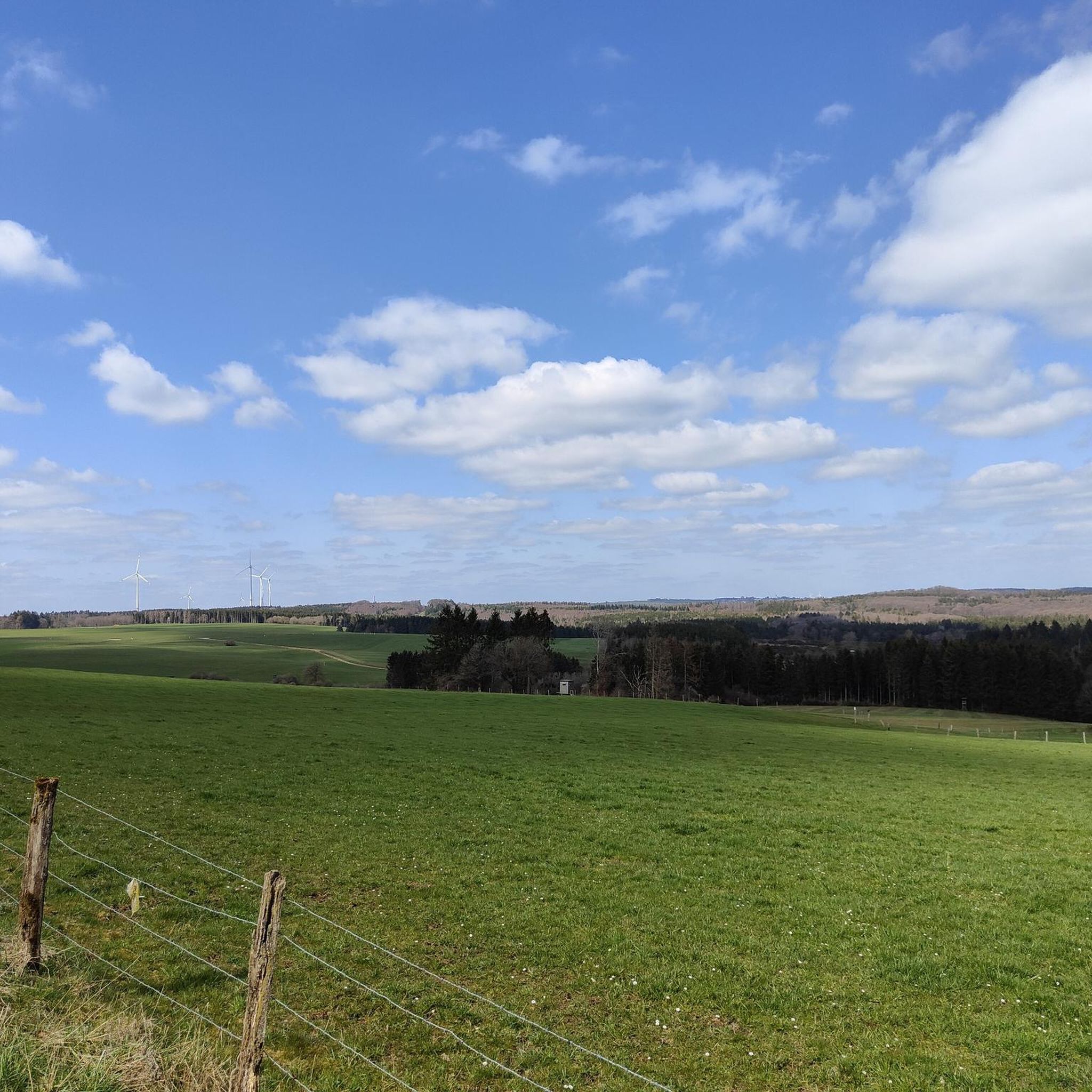
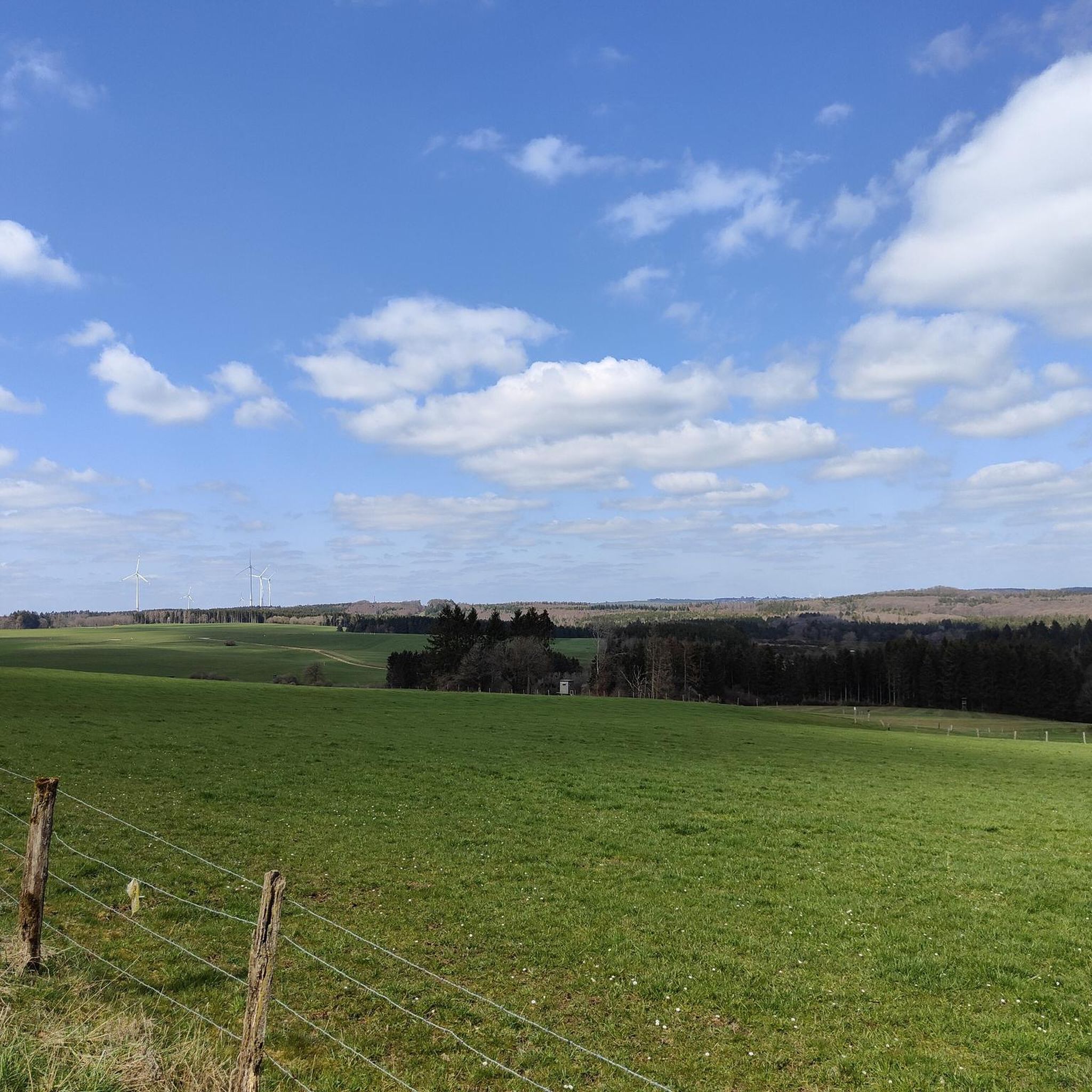
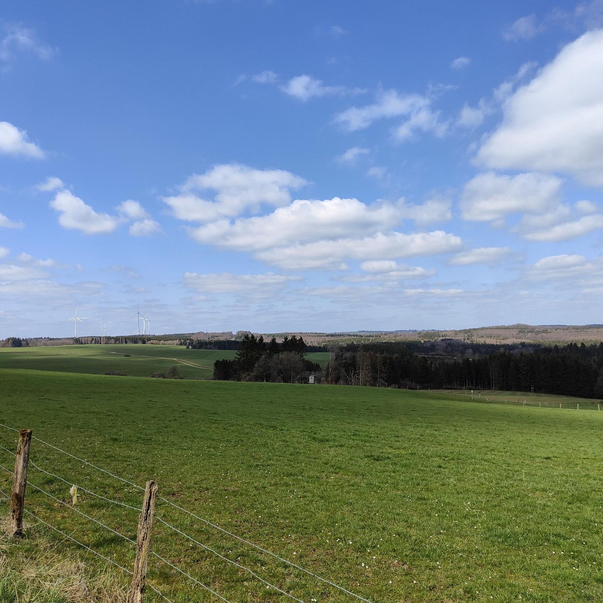
Bench with a view over the North Eifel
Highlight • Viewpoint
Showing Translation
Tip by
Start today with a free account
Your next adventure awaits.
Login or Signup
Tips from the Community

Beautifully located bench that invites us for a short break. The magnificent view is included free of charge.
0
0

This site was the site of one of the 32 V1 launching ramps in the Eifel region, which were used during World War II (1944/45). The combat position was set up to the left and right of the existing forest path (known as the Römerstrasse). I think it's good that such signs remind us of the past.
2
0
A somewhat different wayside cross. The cross was obviously carved out of a tree stump using a chainsaw. Very beautiful.
2
0

After decades, traces of the position can still be seen in the forest.
1
0
Nice rest area that invites us to linger. If you want, you can sit on the relaxation lounger and enjoy the wonderful view.
3
0
One of the Eifel's 32 V1 launching ramps, which were used during the Second World War (1944/45), stood at this location. The combat position was set up to the left and right of the existing forest path (called Römerstrasse). Some foundations can still be seen, for example the floor slabs of the launch pad, as well as two suggestively square “bunkers” on the opposite side. Source: https://lommersdorf.de/historical-lommersdorf-l1/historical-gehenswuerdigkeiten/
4
0

Due to current events, the cross is provided with a Ukraine flag. We are happy to take a "peace be with you" with us, even as agnostics...
6
0

Nice route from Aremberg to Lommersdorf. The permanent construction site in Lommersdorf can be bypassed on the paved paths past the sports field
1
0
Frequently Asked Questions
What historical sites can I visit in Nsg Westliches Ahrgebiet?
You can explore the site of a former V1 launching ramp at the V1 Launch Site Information Board on Römerstraße. This location features foundations of the launch pad and two square "bunkers" in the forest, serving as a poignant reminder of World War II history in the Eifel region.
Where can I find scenic views and natural beauty spots?
The Nsg Westliches Ahrgebiet offers several spots to enjoy the landscape. You can relax at a Panoramic Lounger With View of Eifel Hills or find a quiet moment at a Bench with a view over the North Eifel. The deeply cut Ahr Valley itself, with its steep, forested slopes and diverse rock formations, is a central natural feature worth exploring.
Are there hiking trails near these attractions?
Yes, the area is excellent for hiking. Popular routes include the "Shelter on the Römerweg – Giant Trees Trail loop from Aremberg" (8.6 km) and the "Fish Ponds in Rhein-Ahr-Eifel – Dreisbach Pond and Grill Hut loop from Westliches Ahrgebiet" (8.6 km). You can find more hiking options in the Hiking in Nsg Westliches Ahrgebiet guide.
What cycling routes are available in the Nsg Westliches Ahrgebiet?
Cyclists often enjoy the Scenic route from Aremberg to Lommersdorf. The region generally offers over 100 routes suitable for road cycling and mountain biking, providing diverse terrain and beautiful scenery.
Are there any unique or artistic landmarks to discover?
Yes, you can find the Wooden wayside cross on tree stump, a unique and artistically carved monument that has also been noted for featuring a Ukraine flag.
What kind of natural environment can I expect in Nsg Westliches Ahrgebiet?
The Nsg Westliches Ahrgebiet is characterized by its deeply incised Ahr Valley, featuring steep, forested slopes and various rock formations. It's part of the EU bird sanctuary "Ahrgebirge" and the FFH area "Ahrtal," supporting rich biodiversity, including unique flora and various bird species.
What do visitors enjoy most about the Nsg Westliches Ahrgebiet?
Visitors frequently appreciate the tranquility and the wonderful views from the various rest areas, such as the panoramic loungers. The diverse hiking and cycling trails are also highly rated for their varied forest landscapes and natural beauty, offering a perfect escape to enjoy nature.
Are there any easy hiking options for a relaxed outing?
For an easier option, consider routes like the "Freilinger Lake – View of Freilinger Lake loop from Westliches Ahrgebiet," which is an easy 7.3 km hike. You can explore more options in the Hikes from bus stations in Nsg Westliches Ahrgebiet guide.
What is the terrain like for outdoor activities?
The terrain in Nsg Westliches Ahrgebiet varies, featuring deeply cut V-shaped valleys, steep forested slopes, and diverse rock formations. Hiking trails range from moderate to difficult, with elevations from approximately 180 meters to over 300 meters, offering a good challenge for various fitness levels.
Can I find places to rest and picnic in the area?
Yes, there are several designated spots for relaxation. You'll find Panoramic Loungers With View of Eifel Hills and other picnic tables and loungers that provide ideal settings for a short break while enjoying the serene Eifel forest scenery.
What are some longer or more challenging hikes available?
For more challenging hikes, you can consider routes like the "Historic Path to Aremberg – Aremberg Castle Tower loop from Westliches Ahrgebiet" (20.1 km) or the "Peace Cross Hühnerberg – Chapel of the Guardian Angels, Aremberg loop from Westliches Ahrgebiet" (19.1 km), both rated as difficult. More details are available in the Hiking in Nsg Westliches Ahrgebiet guide.
Most popular routes in Nsg Westliches Ahrgebiet

Get inspired with the komoot mobile app


Explore more
Still not found the Highlight you’re looking for? See guides of the top attractions in other regions:
