Nsg Urfttal Mit Seitentälern Nördlich Und Westlich Von Nettersheim
Nsg Urfttal Mit Seitentälern Nördlich Und Westlich Von Nettersheim
The best running trails in Nsg Urfttal Mit Seitentälern Nördlich Und Westlich Von Nettersheim
4.4
(183)
1,954
runners
274
runs
Jogging routes in Nsg Urfttal Mit Seitentälern Nördlich Und Westlich Von Nettersheim traverse the Kalkeifel, characterized by deep-cut stream valleys and steep, rocky slopes. The region features dry valleys where water seeps into limestone bedrock, and the Urfttal encompasses floodplains with meanders and riparian forests. Extensive calcareous beech forests and grasslands offer varied scenery for running. This diverse landscape provides a network of trails suitable for various outdoor activities.
Best jogging routes in Nsg Urfttal Mit Seitentälern Nördlich Und Westlich…
Last updated: July 17, 2026
5.0
(2)
52
runners
Moderate run. Good fitness required. Mostly paved surfaces. Suitable for all skill levels.
10
runners
6.62km
00:42
70m
80m
Moderate run. Good fitness required. Mostly paved surfaces. Suitable for all skill levels.

Sign up for free
7
runners
6.97km
00:46
100m
100m
Moderate run. Good fitness required. Mostly paved surfaces. Suitable for all skill levels.
5
runners
Moderate run. Good fitness required. Mostly paved surfaces. Suitable for all skill levels.
3
runners
13.9km
01:30
200m
200m
Moderate run. Good fitness required. Mostly paved surfaces. Suitable for all skill levels.
Get access to more routes and recommendations from other explorers.
Sign up for free
Already have an account?
Our route recommendations are based on thousands of hikes, rides, and runs completed by other people on komoot.
Start today with a free account
Your next adventure awaits.
Login or Signup
Popular around Nsg Urfttal Mit Seitentälern Nördlich Und Westlich Von Nettersheim
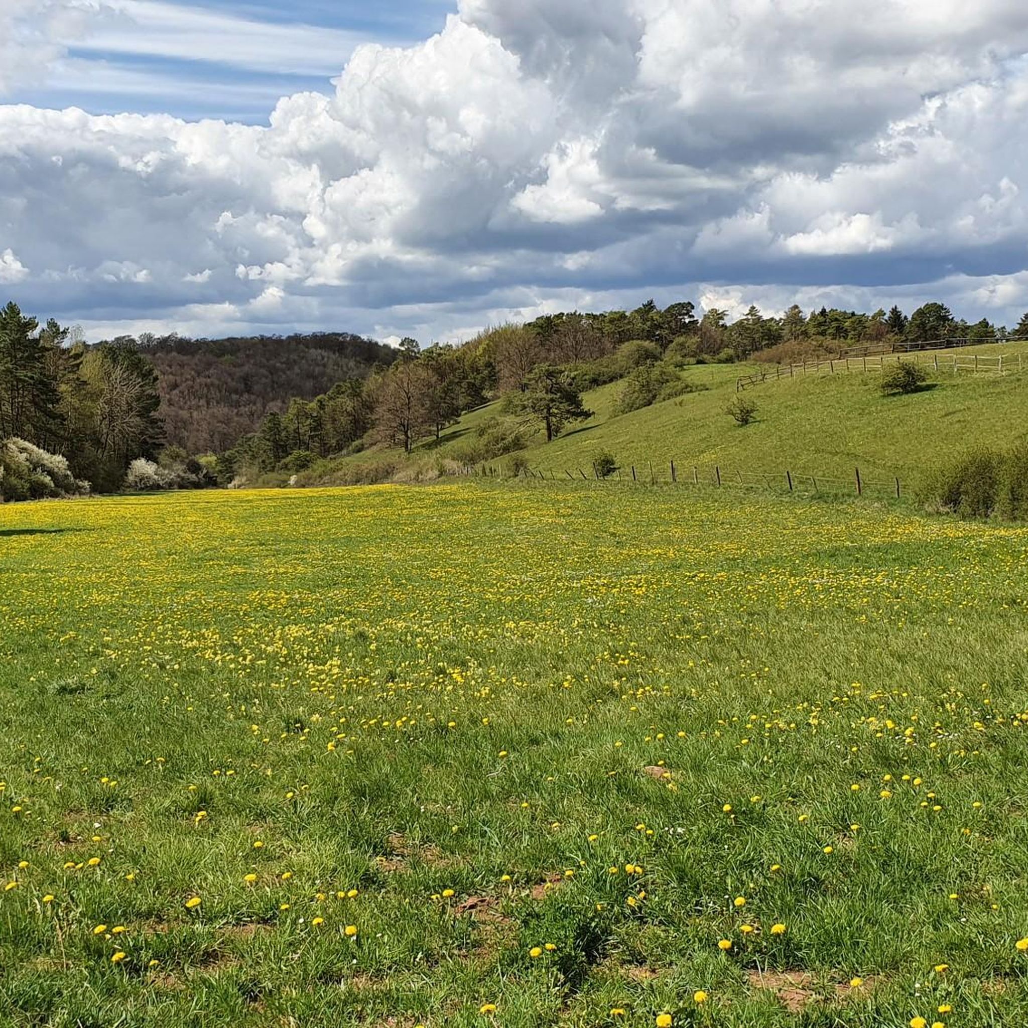
Hiking in Nsg Urfttal Mit Seitentälern Nördlich Und Westlich Von Nettersheim
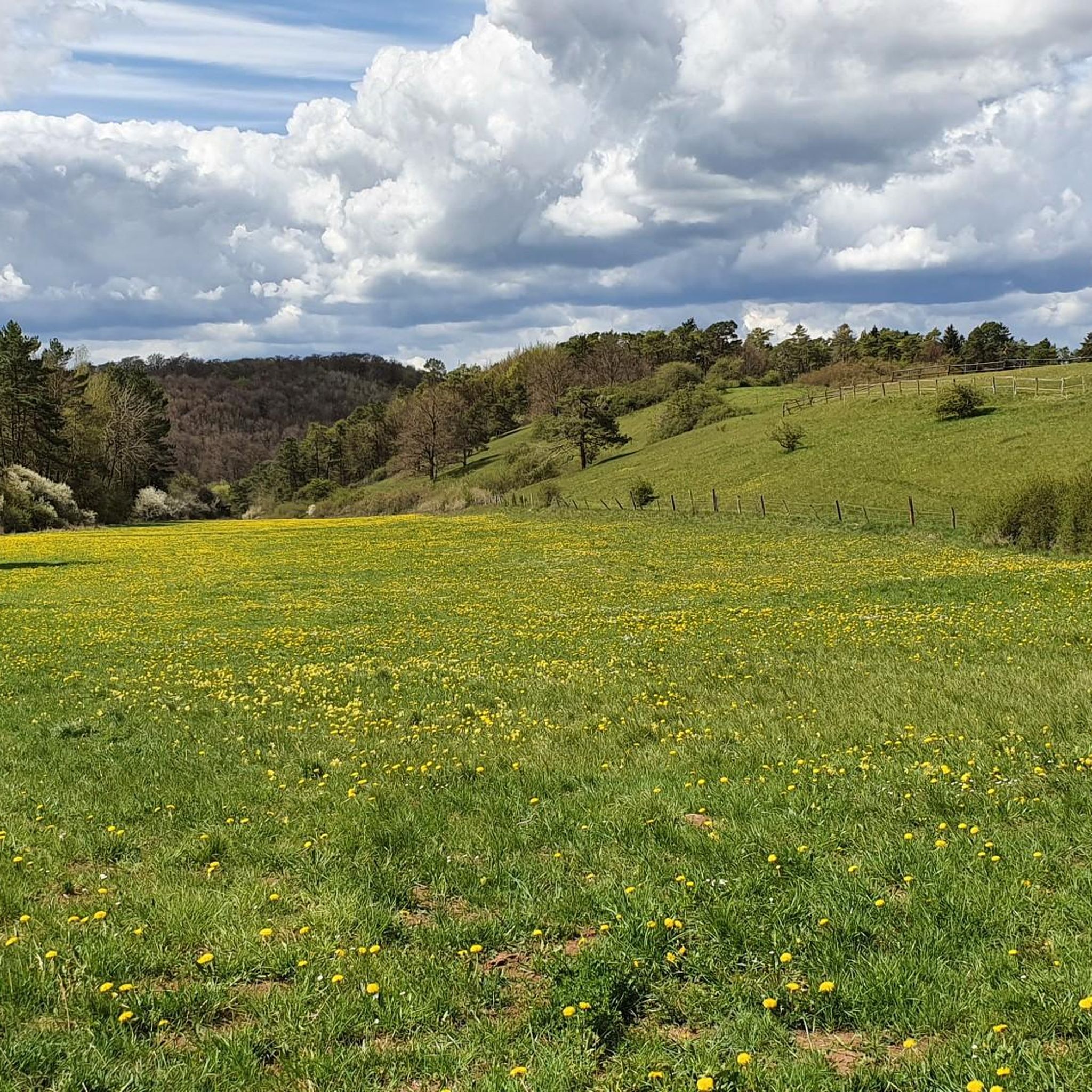
MTB Trails in Nsg Urfttal Mit Seitentälern Nördlich Und Westlich Von Nettersheim
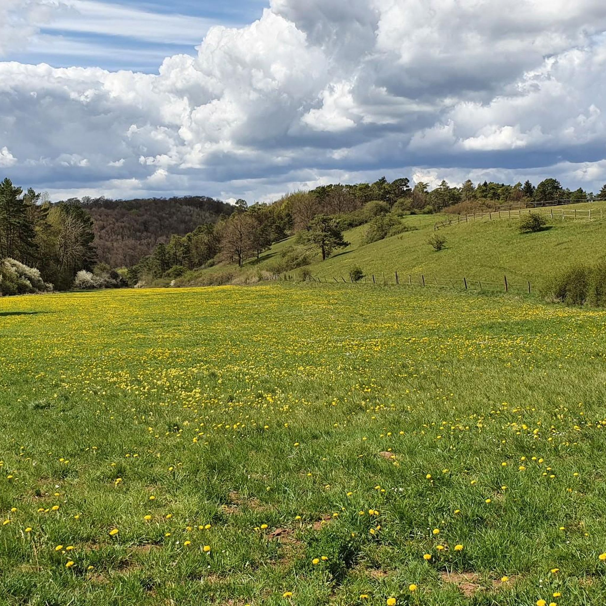
Cycling in Nsg Urfttal Mit Seitentälern Nördlich Und Westlich Von Nettersheim
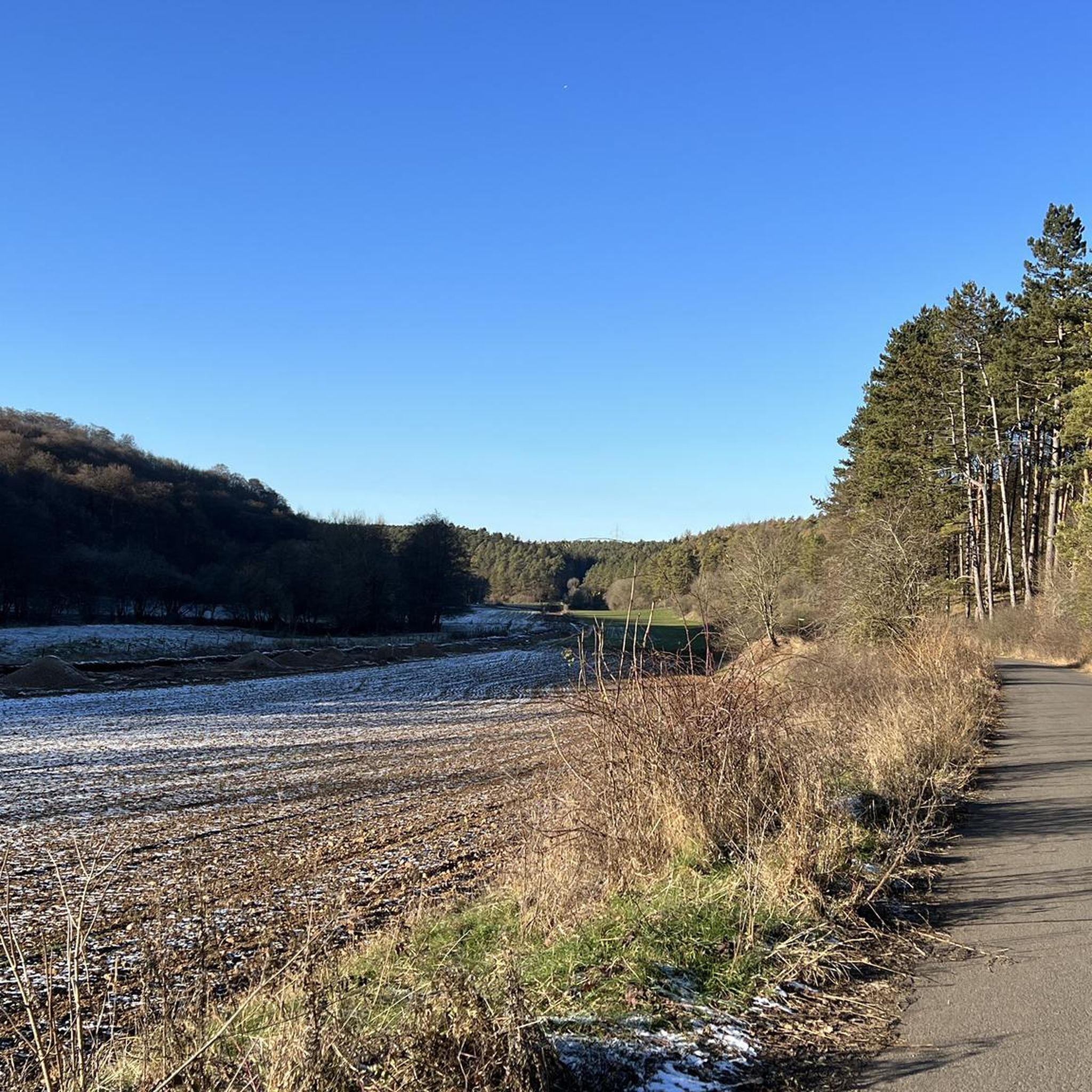
Road Cycling Routes in Nsg Urfttal Mit Seitentälern Nördlich Und Westlich Von Nettersheim

Gravel biking in Nsg Urfttal Mit Seitentälern Nördlich Und Westlich Von Nettersheim
Tips from the Community

Very good valley for hiking and cycling. The paths lead to all villages. You can reach Nettersheim, Blankenheim, Tondorf etc. from here without any problems. All paths are paved. Tar or gravel.
0
0
Here at this spot, you have very good and flat access to the Urft. Perfect for cooling off in the summer.
0
0
Nice small train station. Enough space to take a break. From there you can hike or cycle on paved/asphalted paths to the lime kilns and the Roman sites and excavations. The station is also located right in the village. Supplies are available in Nettersheim.
0
0
Beautiful old Roman spring. A good place to take a break in summer, as there is usually shade. A good shelter is located nearby.
0
0

The Genfbach Valley is located in the Eifel region on the so-called Nettersheim-Marmagen Plateau and is a region of particular ecological importance. Its name comes from the Genfbach, a stream approximately ten kilometers long that rises above Blankenheim and meanders largely naturally through the landscape until it finally flows into the Urft River in Nettersheim. Large parts of the Genfbach Valley, particularly the section southeast of Nettersheim, are protected and designated as a protected area of European importance. This is due to the biotope and species diversity still typical of a low mountain range. It features species-rich wet meadows, near-natural stream floodplains, limestone marshes, and alder-ash forests. These habitats provide shelter for a rich variety of wildlife, including rare bird species such as the whinchat, kingfisher, and meadow pipit. Larger mammals such as the wildcat also use the valley as an important migration corridor. The botanical diversity is equally remarkable, with rare plants such as broad-leaved marsh orchid, devil's claw, and, in large numbers, wood cranesbill thriving in the colorful valley meadows. In the heart of the Genfbach Valley, approximately halfway between the source and mouth, lies the historic Ahe Chapel. Dedicated to Bishop Saint Servatius, the chapel was built around 1330. It is the only remaining building from the lost village of Ahe and boasts a long tradition as a place of pilgrimage. Inside the chapel is a 15th-century wooden statue of Saint Servatius. Every year on May 13, the saint's feast day, a procession takes place to the chapel. For hikers, the Genfbach Valley is accessible via several hiking trails, such as the Eifel Loop Ahe Chapel, offering a varied route through expansive meadows and picturesque forests.
0
0

The little detour from the main trail was worth it. I was drawn to it by the marked highlight. It's also a nice place to take a break.
0
0


A very beautiful, idyllic stream valley. This is the perfect place for a relaxing hike.
2
0
Frequently Asked Questions
How many running routes are available in Nsg Urfttal Mit Seitentälern Nördlich Und Westlich Von Nettersheim?
There are over 270 dedicated running routes in the Nsg Urfttal Mit Seitentälern Nördlich Und Westlich Von Nettersheim region. This extensive network offers a wide variety of options for all skill levels, from easy paths to more challenging trails.
What kind of terrain can I expect on the jogging trails in the Urfttal region?
The Urfttal region, part of the Kalkeifel, features diverse terrain perfect for running. You'll encounter deep-cut stream valleys, steep rocky slopes, and unique dry valleys. Routes often traverse extensive calcareous beech forests, diverse grasslands, and the Urftaue floodplains with their meanders and riparian forests. This variety ensures an engaging and dynamic running experience.
Are there easy jogging routes suitable for beginners or a relaxed run?
Yes, the Nsg Urfttal Mit Seitentälern Nördlich Und Westlich Von Nettersheim offers 41 easy running routes. These paths are generally less demanding, perfect for beginners or those looking for a more relaxed pace. An example of a moderate route that can be enjoyed at a comfortable pace is the Agrippastraße Shelter – Pützberg loop from Nettersheim, which is 6.6 km long.
What are some notable natural features or landmarks I might see while running?
The region is rich in natural beauty and historical sites. You can explore the unique dry valleys, the Urftaue floodplains, and extensive beech forests. Notable landmarks include the Grüner Pütz — Roman springhead, the Rummerschlegel Rock Formation, and sections of the Roman aqueduct near Kall. The Butterfly Trail in the Urft Valley is also a highlight for nature enthusiasts.
Are there any circular running routes in the Nsg Urfttal Mit Seitentälern Nördlich Und Westlich Von Nettersheim?
Yes, many of the running routes in the Nsg Urfttal Mit Seitentälern Nördlich Und Westlich Von Nettersheim are circular, offering convenient starting and ending points. For instance, the Genfbach Valley – Woodland Music Picnic Shelter loop from Nettersheim is a moderate 13.9 km circular route, and the Nettersheim Nature Centre – Görresburg Matronae Sanctuary loop from Nettersheim is another excellent 10.9 km option.
What do other runners say about the trails in this area?
The running routes in Nsg Urfttal Mit Seitentälern Nördlich Und Westlich Von Nettersheim are highly rated by the komoot community, with an average score of 4.5 stars from over 160 reviews. Reviewers often praise the varied terrain, the tranquility of the region, and the opportunities to experience diverse landscapes from stream valleys to ancient forests.
Is the Nsg Urfttal Mit Seitentälern Nördlich Und Westlich Von Nettersheim suitable for family-friendly running or walking?
Yes, the region offers routes suitable for families. While specific 'family-friendly' jogging routes aren't explicitly categorized, the 41 easy routes provide gentler options that can be enjoyed by families. The varied scenery and natural features, such as the Urft river and diverse meadows, make for an engaging outdoor experience for all ages.
Are dogs allowed on the running trails in the Urfttal region?
Generally, dogs are welcome on trails in the Nsg Urfttal Mit Seitentälern Nördlich Und Westlich Von Nettersheim, especially if kept on a leash. The extensive forest areas and open grasslands provide a great environment for running with your canine companion. Always be mindful of local regulations and wildlife, particularly as the area is a vital migration corridor for wildcats.
Are there any historical sites or Roman ruins to explore near the running paths?
Absolutely. The region has a rich history, particularly with Roman connections. You can find historical sites like the Roman Aqueduct Excavation (Römerkanal) and the Grüner Pütz — Roman springhead. The Sacred Heart Monastery, Nettersheim – Grüner Pütz — Roman springhead loop from Nettersheim is a 15 km route that specifically explores historical sites and natural springs.
What is the best time of year to go running in Nsg Urfttal Mit Seitentälern Nördlich Und Westlich Von Nettersheim?
The Nsg Urfttal Mit Seitentälern Nördlich Und Westlich Von Nettersheim is beautiful year-round. Spring brings vibrant wildflowers and lush greenery, while autumn offers stunning fall foliage in the beech forests. Summer is ideal for longer runs, and even winter can be picturesque, though some trails might be muddy or icy. Always check local weather conditions before heading out.
Are there options for longer, more challenging running routes?
Yes, for those seeking a greater challenge, the region offers 41 difficult routes and 191 moderate routes that can be combined for longer distances. The varied elevation changes and diverse terrain, including steep rocky slopes, provide excellent opportunities for endurance training. The Sacred Heart Monastery, Nettersheim – Grüner Pütz — Roman springhead loop from Nettersheim, at nearly 15 km, is a popular moderate option for a longer run.
Where can I find parking for the running trails in the Urfttal area?
Parking is generally available at common trailheads and near villages like Nettersheim. Many routes, being loops, often start and end in areas with designated parking. It's advisable to check the specific route details on komoot for parking suggestions related to your chosen running path.
Can I reach the running trails using public transport?
Nettersheim, a central point for many routes, is accessible by public transport. From there, you can often find trailheads within walking distance or connect to local bus services that serve surrounding areas. Planning your route on komoot can help identify starting points convenient to public transport links.
Most popular routes in Nsg Urfttal Mit Seitentälern Nördlich Und Westlich Von Nettersheim
Most popular attractions in Nsg Urfttal Mit Seitentälern Nördlich Und Westlich Von Nettersheim

Get inspired with the komoot mobile app


Explore more
Browse the best Running Trails & Routes in other regions.
