The best MTB trails in Perlenbach-Fuhrtsbachtal-Talsystem
4.6
(2840)
10,425
riders
284
rides
Mountain bike trails in Perlenbach-Fuhrtsbachtal-Talsystem traverse a 331-hectare nature reserve in North Rhine-Westphalia, Germany. The region features diverse landscapes, including the river valleys of the Perlenbach and Fuhrtsbach, characterized by fen vegetation and wet grasslands. Elevations range from 465 to 615 meters, offering varied terrain through deciduous and coniferous forests, and around the Perlenbach Reservoir. This area provides a network of mountain bike routes suitable for different skill levels.
Best mountain bike trails in Perlenbach-Fuhrtsbachtal-Talsystem
- The most popular mountain bike…
Last updated: July 1, 2026
4.1
(7)
34
riders
Hard mountain bike ride. Good fitness required. Advanced riding skills necessary. Some portions of the route may require you to push your bike.
5.0
(2)
22
riders
Hard mountain bike ride. Good fitness required. Advanced riding skills necessary. Some portions of the route may require you to push your bike.

Sign up for free
4.8
(20)
77
riders
Moderate mountain bike ride. Good fitness required. Suitable for all skill levels.
3.4
(5)
24
riders
Hard mountain bike ride. Good fitness required. Advanced riding skills necessary. Some portions of the route may require you to push your bike.
3.8
(5)
13
riders
Moderate mountain bike ride. Good fitness required. Advanced riding skills necessary.
Get access to more routes and recommendations from other explorers.
Sign up for free
Already have an account?
Our route recommendations are based on thousands of hikes, rides, and runs completed by other people on komoot.
Start today with a free account
Your next adventure awaits.
Login or Signup
Popular around Perlenbach-Fuhrtsbachtal-Talsystem
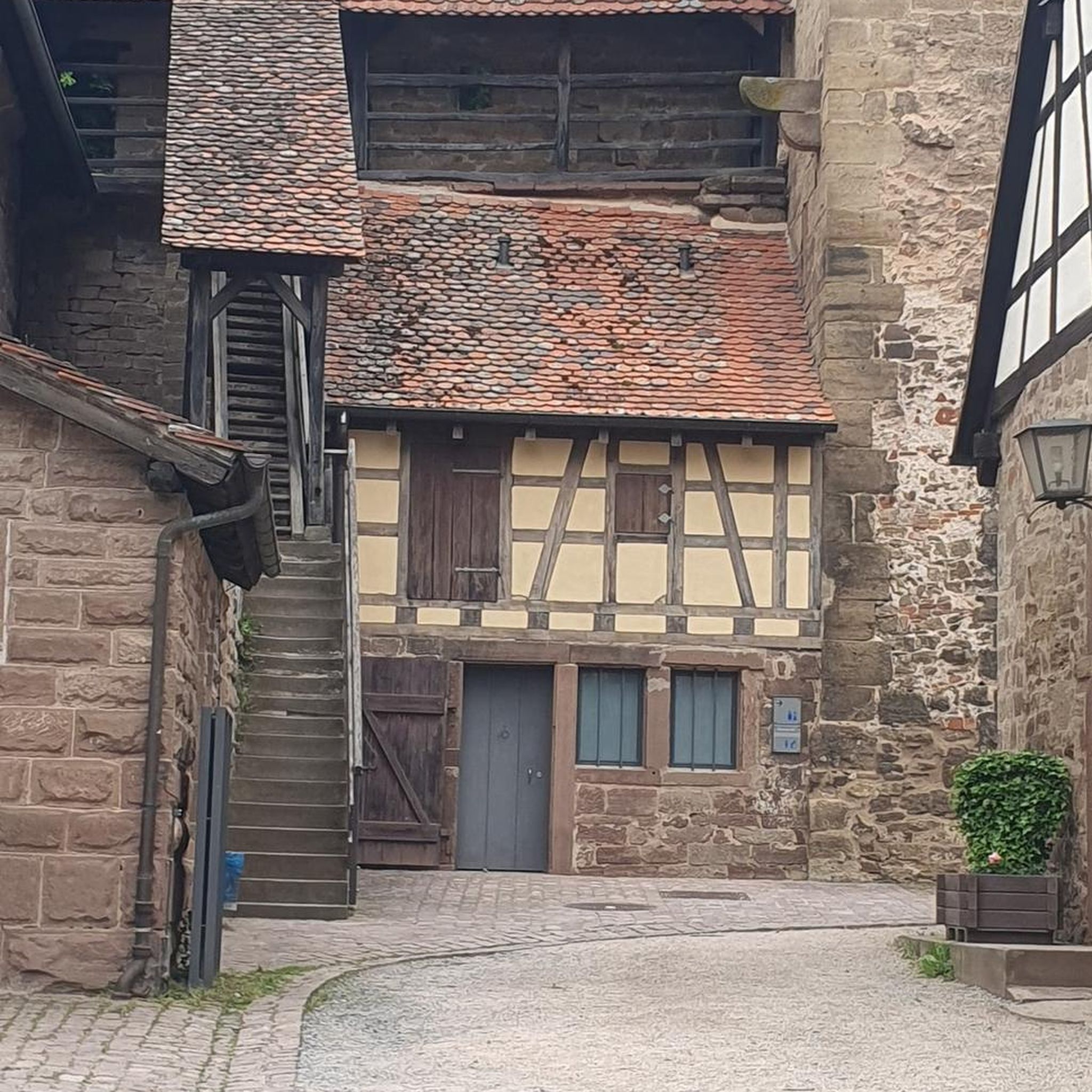
Gravel biking in Perlenbach-Fuhrtsbachtal-Talsystem
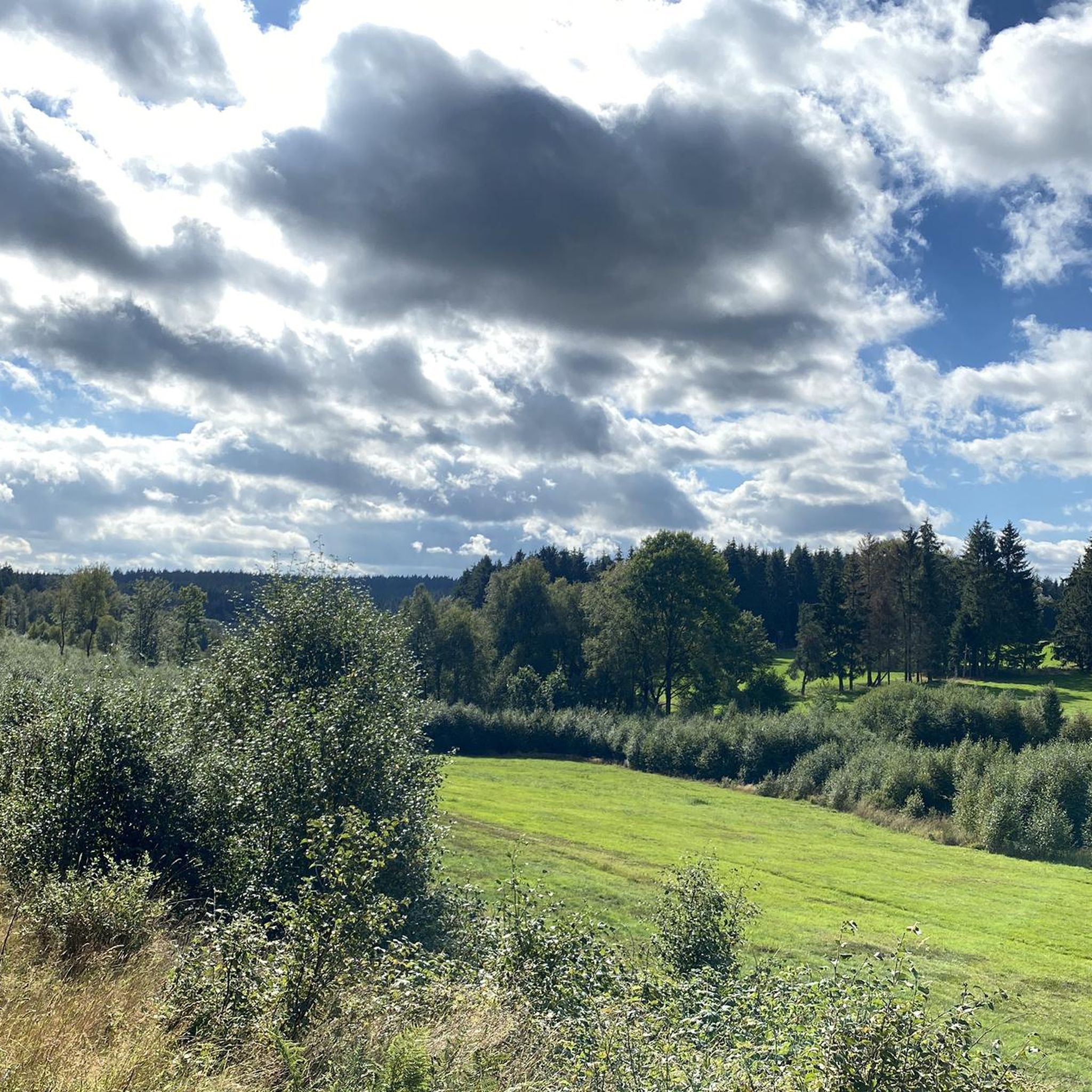
Cycling in Perlenbach-Fuhrtsbachtal-Talsystem
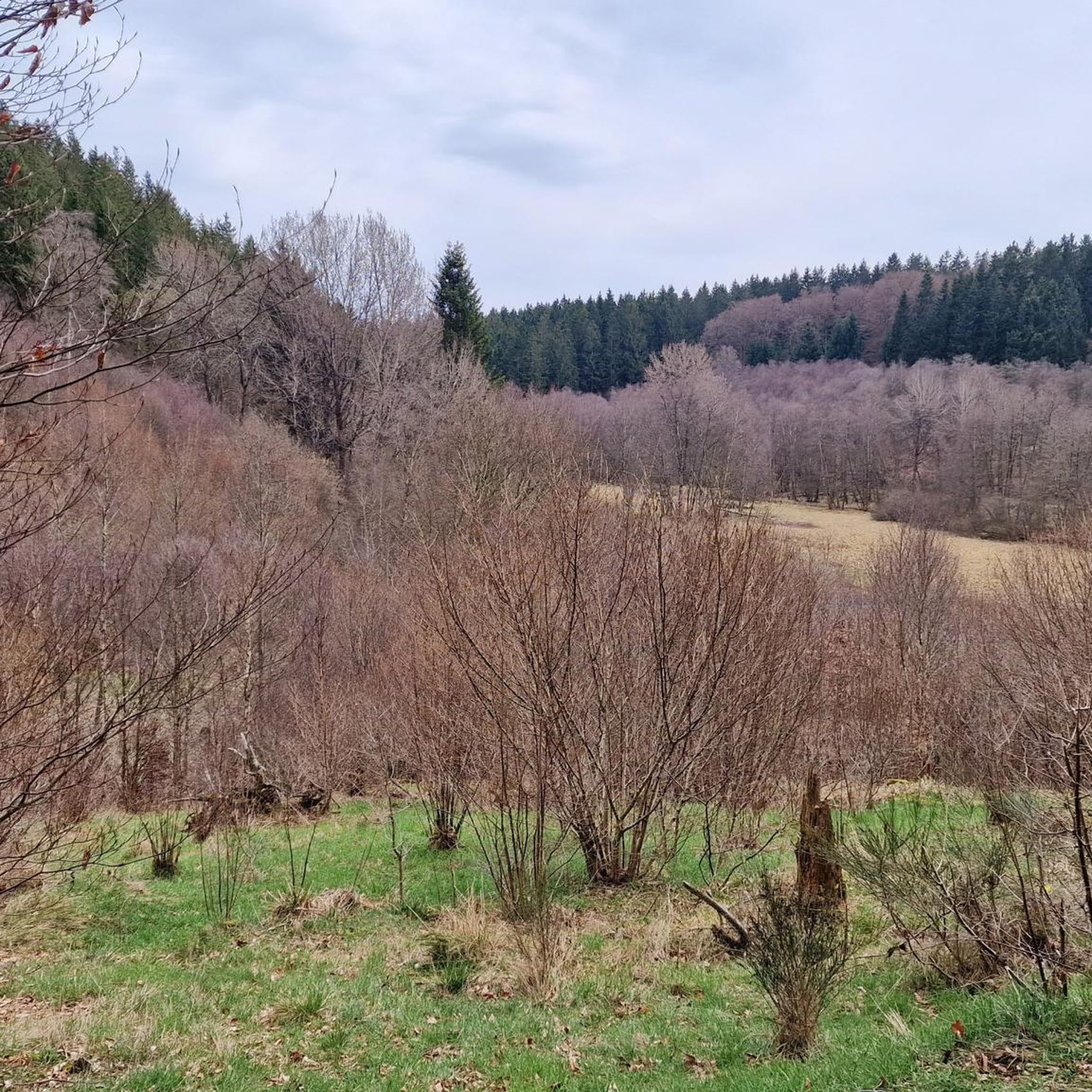
Hiking in Perlenbach-Fuhrtsbachtal-Talsystem
Road Cycling Routes in Perlenbach-Fuhrtsbachtal-Talsystem
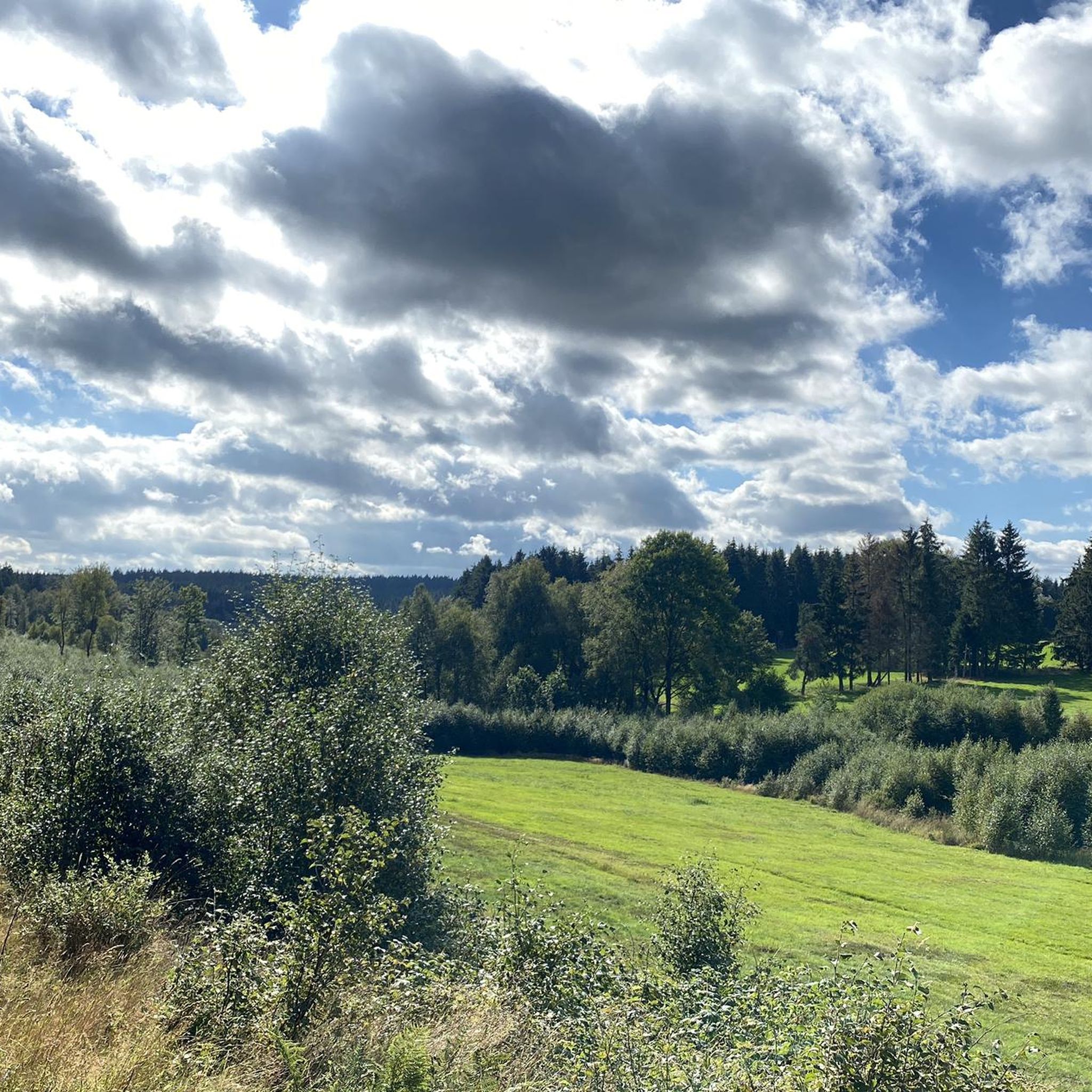
Running Trails in Perlenbach-Fuhrtsbachtal-Talsystem
Mountain Hikes in Perlenbach-Fuhrtsbachtal-Talsystem
Tips from the Community

A paved path runs along the Olef Reservoir, popular with cyclists. The circuit is just under 14 km long, offering beautiful views of the reservoir along the way. Numerous benches invite you to take a break.
0
0
A paved path runs along the Olef Reservoir, popular with cyclists. The circuit is just under 14 km long, offering beautiful views of the reservoir along the way. Numerous benches invite you to take a break.
0
1

Numerous trees around the pond have been felled by beavers.
0
0

Dam construction period: 1954–1959 Height above valley floor: 54.6 m Crest length: 282 m Crest width: 5.7 m
0
0

The unique dam structure of the Oleftalsperre is very impressive from this height! Top!
0
0


It's worth taking advantage of the few opportunities to go directly to the water. The views and photo opportunities are not to be underestimated.
1
0
Frequently Asked Questions
How many mountain bike trails are available in Perlenbach-Fuhrtsbachtal-Talsystem?
There are over 280 mountain bike trails in the Perlenbach-Fuhrtsbachtal-Talsystem, offering a wide range of options for different skill levels and preferences.
What are the typical difficulty levels for mountain biking in this region?
The trails in Perlenbach-Fuhrtsbachtal-Talsystem cater to various abilities. You'll find a good mix, with approximately 48 easy routes, 179 moderate routes, and 62 difficult routes, ensuring there's something for everyone from beginners to experienced riders.
What kind of terrain can I expect on the mountain bike trails?
The region features diverse terrain, ranging from 465 to 615 meters (1,526–2,018 ft) above sea level. You'll ride through river valleys, dense deciduous and coniferous forests, and open meadows. Many trails also pass by the scenic Perlenbach Reservoir and areas with fen vegetation and wet grasslands.
Are there any family-friendly mountain bike routes in Perlenbach-Fuhrtsbachtal-Talsystem?
Yes, the area offers several family-friendly options, particularly among the easier routes. These trails often feature accessible paths through forests and meadows, providing a pleasant experience for families. Look for routes marked as 'easy' for the most suitable choices.
What natural features or landmarks can I see while mountain biking?
The region is rich in natural beauty. You can explore the Fuhrtsbach Valley, witness the spectacular Wild Daffodil Meadows in Perlenbachtal during spring, and ride past the tranquil Perlenbach Reservoir. The confluence of the Fuhrtsbach and the Perlenbach is another notable spot.
When is the best time of year to go mountain biking in Perlenbach-Fuhrtsbachtal-Talsystem?
Spring (late March to mid-May) is particularly beautiful due to the bloom of millions of native daffodils. Summer offers lush green forests and meadows. The area can also be ridden in winter, often presenting a picturesque snowy landscape, though conditions may vary.
Are there any historical sites along the mountain bike trails?
Yes, the region holds historical intrigue. You might encounter remnants of old bunkers and fortifications from the World War II era, which provide a unique historical perspective as you ride through the landscape.
What do other mountain bikers say about the trails in Perlenbach-Fuhrtsbachtal-Talsystem?
The mountain bike trails in Perlenbach-Fuhrtsbachtal-Talsystem are highly rated by the komoot community, with an average score of 4.6 stars from over 2,800 reviews. Riders often praise the diverse landscapes, the well-maintained paths, and the scenic beauty, especially during the daffodil bloom.
Can I find circular mountain bike routes in the area?
Many of the mountain bike routes in Perlenbach-Fuhrtsbachtal-Talsystem are designed as loops. For example, the Alt Hattlich Forest Road – View of the High Fens loop offers great views, and the View of the Olef Reservoir – Olef Dam loop provides a scenic ride around the reservoir.
Are there any longer, more challenging mountain bike routes?
For those seeking a challenge, routes like the Belgenbach Trail – Alsdorfer Kreuz Trail loop, which is a difficult 21.7 miles (34.9 km) trail, offer significant elevation changes and varied terrain, typically taking over 3 hours to complete.
What is the longest mountain bike route available?
One of the longer routes is the View of the Olef Reservoir – Olef Dam loop, covering approximately 39.5 km (24.5 miles) with moderate difficulty, offering extensive views and a good workout.
Are dogs allowed on the mountain bike trails?
Generally, dogs are welcome on trails in nature reserves like Perlenbach-Fuhrtsbachtal-Talsystem, but they should be kept on a leash to protect wildlife and ensure the safety of other trail users. Always check local signage for specific regulations.
Most popular routes in Perlenbach-Fuhrtsbachtal-Talsystem
Most popular attractions in Perlenbach-Fuhrtsbachtal-Talsystem

Get inspired with the komoot mobile app


Explore more
Browse the best MTB trails in other regions.
