Attractions and Places To See in Rheinaue Worringen-Langel - Top 17
Best attractions and places to see in Rheinaue Worringen-Langel, located within Cologne, Germany, is a 240-hectare nature reserve established in 1991. This extensive area features diverse natural landscapes, including forested sections, grasslands, ponds, and old oxbow lakes of the Rhine River. It serves as a significant habitat for various plant and animal species, including 93 different bird species and 50 aquatic animal species. The region also encompasses the Worringer Bruch, an 8,000-year-old moorland area characterized by dense old-growth forests and…
Last updated: July 5, 2026
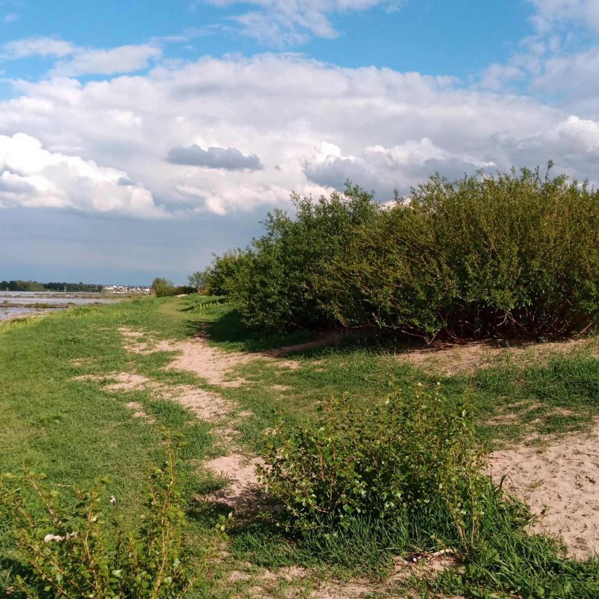
Langeler Damm
Highlight (Segment) • Cycleway
Translated by Google •
Tip by

Brunnengalerie Rheinaue – Story Station 21
Highlight • Trail
Vertical filter wells in the floodplains produce raw water from the ice-age sands and pebbles of the Rhine that reach some 20 meters deep.
erlebnispfad.com
Translated by Google •
Tip by

Sign up now to discover places like this
Get recommendations on the best single tracks, peaks, & plenty of other exciting outdoor places.
Sign up for free
Werthweg Pumping Station
Highlight • Structure
Translated by Google •
Tip by
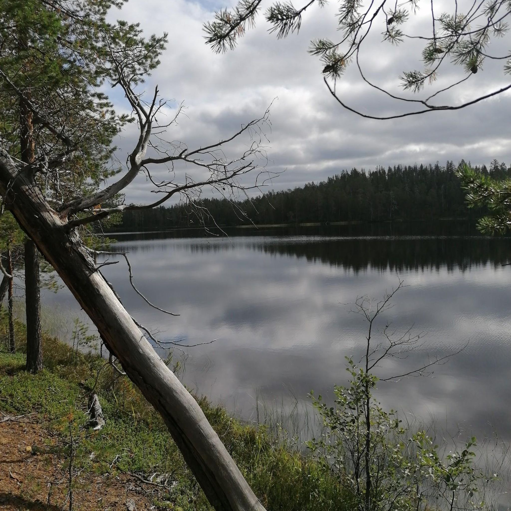
Frohnweiher (Fuul Loch)
Highlight • Lake
Translated by Google •
Tip by

Werthweg Flood Pumping Station
Highlight • Structure
Translated by Google •
Tip by

Sign up for free to discover even more attractions in Rheinaue Worringen-Langel.
Sign up for free
Already have an account?
Start today with a free account
Your next adventure awaits.
Login or Signup
Tips from the Community

Junction 6 at the pumping station.
3
2
Small pond with house on the lake.
4
2

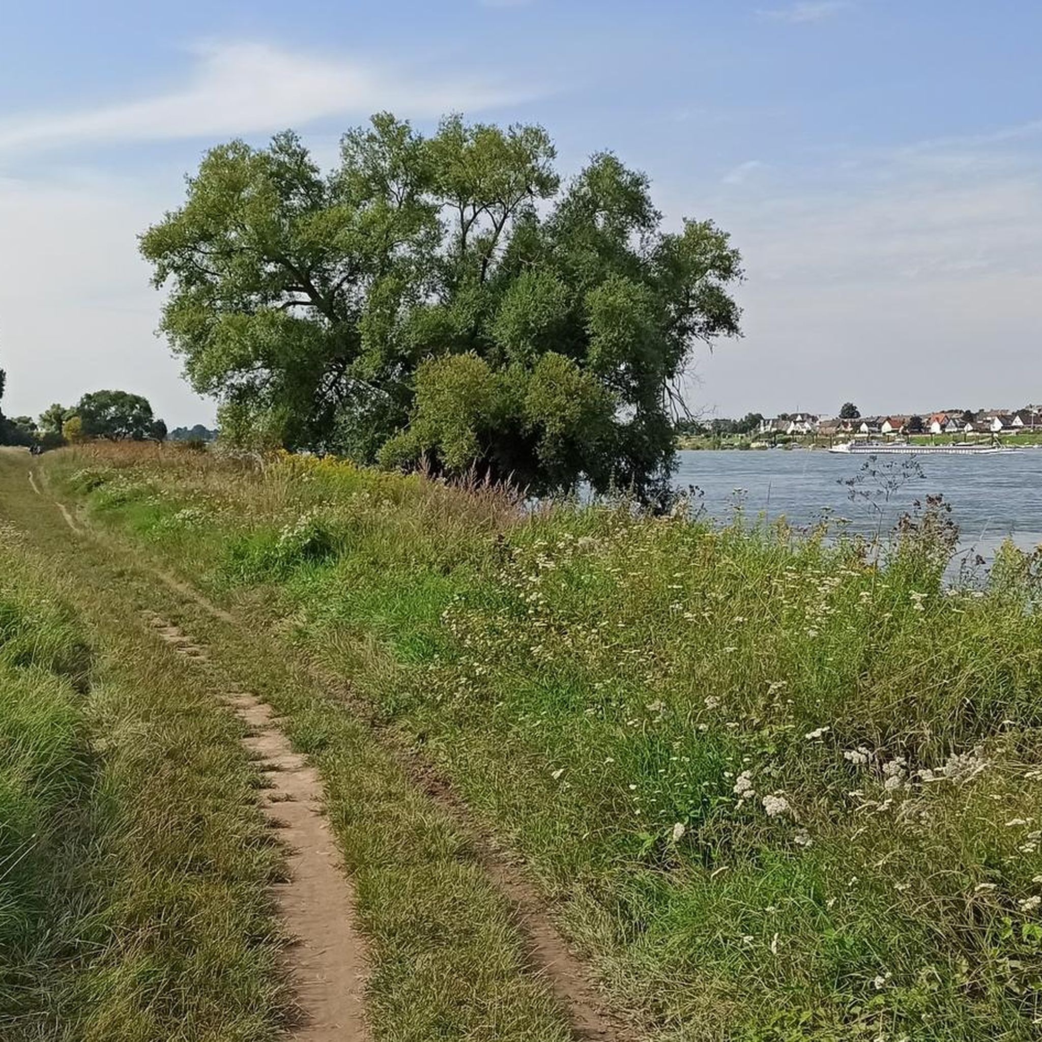
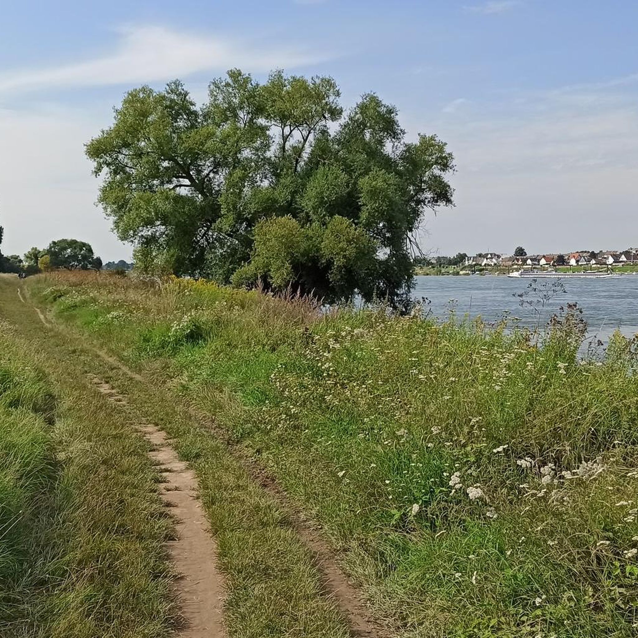
👉 "The approximately 25-kilometer-long path links the "Pulheimer Bach Water Adventure Trail" with the left-bank section of the "Rheinschiene Adventure Trail" and builds a bridge over the Hitdorf-Langel Rhine ferry to the "Green Fan Leverkusen". The western part of the path can be used as a circular route with the northern section of the "Energy and Water" theme trail on the Cologne Randkanal. The eastern part leads along the Rhine to the KVB terminus of the 12 tram in Merkenich." http://erlebnispfad.com/
0
0

Nice stretch of quiet cycle path.
1
1

Interesting information about the pumping station.
0
0

Cycle paths through the green between the big cities in the big city
4
0

Hal a pump station, which is necessary here
2
0

The Werthweg flood pumping station is located on the Worringer dike to the east of the Neusser Landstraße. The new building by "Lepel & Lepel - Architecture, Interior Design" replaces the almost 50-year-old previous building, which no longer met the requirements of modern flood protection. With the construction of the new water pumping stations on the Rhine, the Stadtentwasserungsbetriebe Köln focus on an attractive architectural design and the positioning as landmarks, which reflects the importance of the underground engineering structures. The flood pumping station Werthweg ensures the sewage disposal of the districts of Roggendorf, Thenhoven and Worringen in the north of Cologne when the Rhine floods. A simple design and material language was chosen for the pumping station. The entire construction project includes the construction phases of the inlet canal, pumping station with waste water pumping station and flood pumping station as well as the outlet canal. Author: Editorial office baukunst-nrw Last changed on 11/02/2011
2
0
Frequently Asked Questions
What natural features can I explore in Rheinaue Worringen-Langel?
Rheinaue Worringen-Langel is rich in diverse natural features, including extensive grasslands, forested areas, ponds, and old oxbow lakes of the Rhine River. You can also explore species-rich Rhine meadows, reed beds, and riparian forests. A notable feature is the 8,000-year-old Worringer Bruch, a horseshoe-shaped moorland area.
What kind of wildlife can I observe in Rheinaue Worringen-Langel?
The area is a significant habitat for a wide array of wildlife. It's particularly known for its birdlife, with 93 different species observed, including the little ringed plover, common sandpiper, and lapwing. Additionally, 50 different aquatic animal species, such as various fish, mussels, and rare dragonflies, call this region home.
Are there good cycling routes in Rheinaue Worringen-Langel?
Yes, Rheinaue Worringen-Langel is excellent for cycling. Popular options include the Langeler Damm, a fantastic cycle path directly along the Rhine, and the Langeler Damm Cycle Path, which connects the Zons and Hitdorf ferries. You can find various routes for gravel biking, road cycling, and mountain biking in the area. For more options, explore the Gravel biking in Rheinaue Worringen-Langel, Road Cycling Routes in Rheinaue Worringen-Langel, and MTB Trails in Rheinaue Worringen-Langel guides.
Are there family-friendly activities or attractions in Rheinaue Worringen-Langel?
Absolutely. Many areas within Rheinaue Worringen-Langel are family-friendly. The Langeler Damm and Langeler Damm Cycle Path are suitable for family bike rides. The Brunnengalerie Rheinaue – Story Station 21 offers an educational experience about drinking water, which can be engaging for children. The Frohnweiher (Fuul Loch) is also a pleasant spot for families to enjoy nature.
What historical landmarks can I find in the area?
While primarily a nature reserve, the area does feature some historical points of interest. The Worringen Water Tower, built between 1906 and 1908, stands as a historical landmark. Additionally, the Langeler Damm Cycle Path is noted for its historical significance as a connection point.
Is Rheinaue Worringen-Langel accessible for wheelchairs?
Yes, some parts of Rheinaue Worringen-Langel are wheelchair accessible. The Langeler Damm Cycle Path and the Werthweg Pumping Station are specifically noted as wheelchair accessible, offering opportunities to enjoy the outdoors.
When is the best time to visit Rheinaue Worringen-Langel?
The Rheinaue Worringen-Langel is beautiful year-round, but spring and summer are particularly popular for outdoor activities like hiking and biking, when the meadows are lush and birdlife is abundant. Autumn offers scenic views with changing foliage. Even in winter, the tranquil landscape can be enjoyed, though some paths might be less accessible depending on weather conditions.
What is the significance of the <a href="https://www.komoot.com/highlight/1171319" target="_blank" rel="noopener">Brunnengalerie Rheinaue – Story Station 21</a>?
The Brunnengalerie Rheinaue – Story Station 21 is an educational trail that explains the origin of drinking water in the region. It details how raw water is extracted from the glacial sands and gravels of the Rhine, providing insight into local water management and the natural processes involved.
Are there easy walking routes in Rheinaue Worringen-Langel?
Yes, the area offers many easy walking routes, particularly along the Rhine riverbanks and through the grasslands. The cycle paths, such as the Langeler Damm, are also suitable for leisurely strolls and are generally flat and well-maintained, making them ideal for easy walks.
Can I bring my dog to Rheinaue Worringen-Langel?
Yes, Rheinaue Worringen-Langel is generally dog-friendly. Many trails and paths are suitable for walking with dogs. However, as it is a nature reserve with diverse wildlife, it's advisable to keep dogs on a leash, especially in areas with sensitive habitats or grazing animals like the Glan cattle.
What is the <a href="https://www.komoot.com/highlight/324124" target="_blank" rel="noopener">Frohnweiher (Fuul Loch)</a>?
The Frohnweiher (Fuul Loch) is an attractive pond located within Rheinaue Worringen-Langel. It's surrounded by trees, making it a picturesque spot for nature observation and relaxation. The pond has a rich history, with evidence of dam construction in its vicinity dating back to 1541.
Are there scenic viewpoints in Rheinaue Worringen-Langel?
Yes, the area offers several scenic viewpoints, particularly along the Rhine. The Langeler Damm and Langeler Damm Cycle Path provide excellent views of the surrounding Rheinaue and the river. The Frohnweiher (Fuul Loch) also offers beautiful natural vistas.
Most popular routes in Rheinaue Worringen-Langel

Get inspired with the komoot mobile app


Explore more
Still not found the Highlight you’re looking for? See guides of the top attractions in other regions:
