The best running trails in Vlaams Natuurreservaat Helderbeek-Terril
4.3
(210)
12,382
runners
631
runs
Jogging in Vlaams Natuurreservaat Helderbeek-Terril offers a diverse landscape for runners. The region is characterized by the former Zolder coal mine spoil heap, known as the Terril, which rises 85 meters and provides elevated views and varied microclimates. Adjacent to this, the Helderbeek valley features peaty grasslands and swamp forests, while the reserve also borders the Koerselse Heide. This combination provides a range of terrain, from inclines on the terril to flat paths through wetlands and heathland.
Best jogging routes…
Last updated: July 17, 2026
31
runners
Moderate run. Good fitness required. Mostly paved surfaces. Suitable for all skill levels.
23
runners
3.82km
00:26
90m
90m
Easy run. Great for any fitness level. Mostly paved surfaces. Suitable for all skill levels.

Sign up for free
15
runners
8.85km
01:00
40m
40m
Moderate run. Good fitness required. Mostly paved surfaces. Suitable for all skill levels.
12
runners
6.21km
00:43
30m
30m
Moderate run. Good fitness required. Mostly paved surfaces. Suitable for all skill levels.
18
runners
Moderate run. Good fitness required. Mostly paved surfaces. Suitable for all skill levels.
Get access to more routes and recommendations from other explorers.
Sign up for free
Already have an account?
Our route recommendations are based on thousands of hikes, rides, and runs completed by other people on komoot.
Start today with a free account
Your next adventure awaits.
Login or Signup
Popular around Vlaams Natuurreservaat Helderbeek-Terril

Tips from the Community

@jeroen driesen: It's because of this behavior from you cyclists that we keep hearing about "cycling terrorists." The Heusden-Zolder slag heap is a protected nature reserve, and if cycling is prohibited there, there's a good reason for it, and you shouldn't be disrupting nature there!
3
0

The top of the Heusden-Zolder mine spoil tip was rewarded with no less than three landscape stars. The three-star spot is located at an altitude of 155 m above sea level. The top extends 85 meters above the surroundings. More about the Heusden-Zolder mine spoil tip and that top: https://www.visitlimburg.be/nl/wat-te-doen/mijnterril-heusden-zolder
7
0
Coal mining in Heusden-Zolder started in 1923 and lasted until 1992. The slag heap is made up of stones that were brought to the surface during coal mining. Over the years, the top has risen to 155m above sea level. Since 1997, it has been a Flemish nature reserve. Sheep are used for the nature management of the slag heap and the adjacent heathland. By grazing, they ensure a firm grass mat and prevent the growth of trees. This is necessary to prevent erosion. The slopes on the south side of the slag heap have their own microclimate, which is why many rare plant and animal species find their home here.
4
0
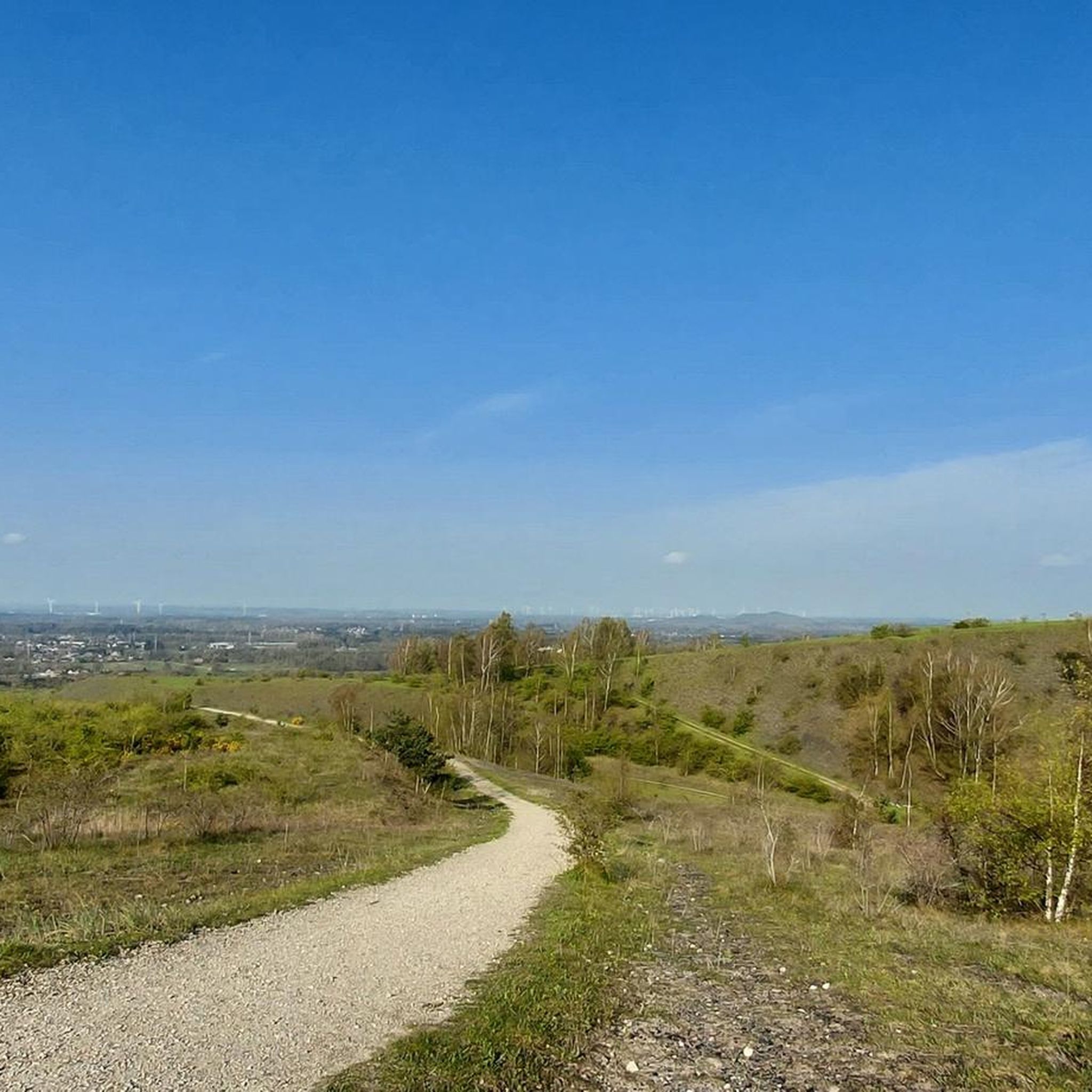
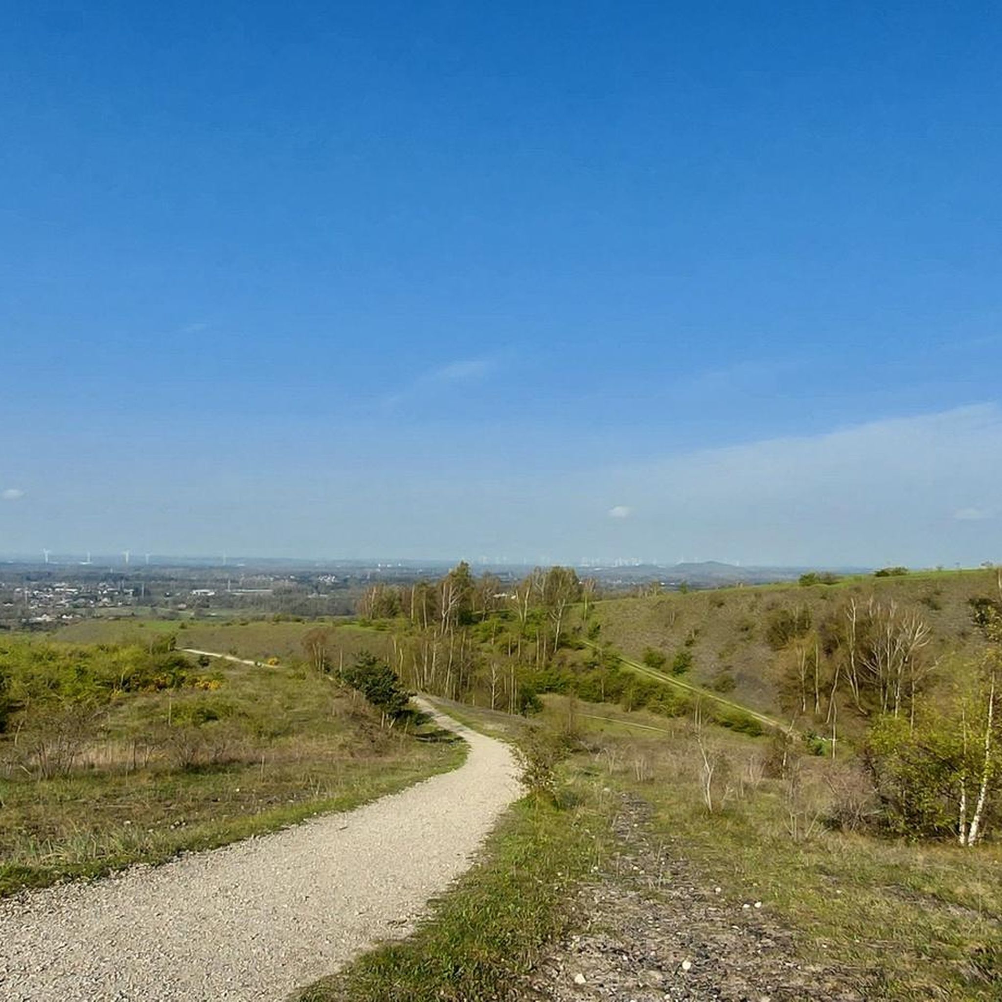
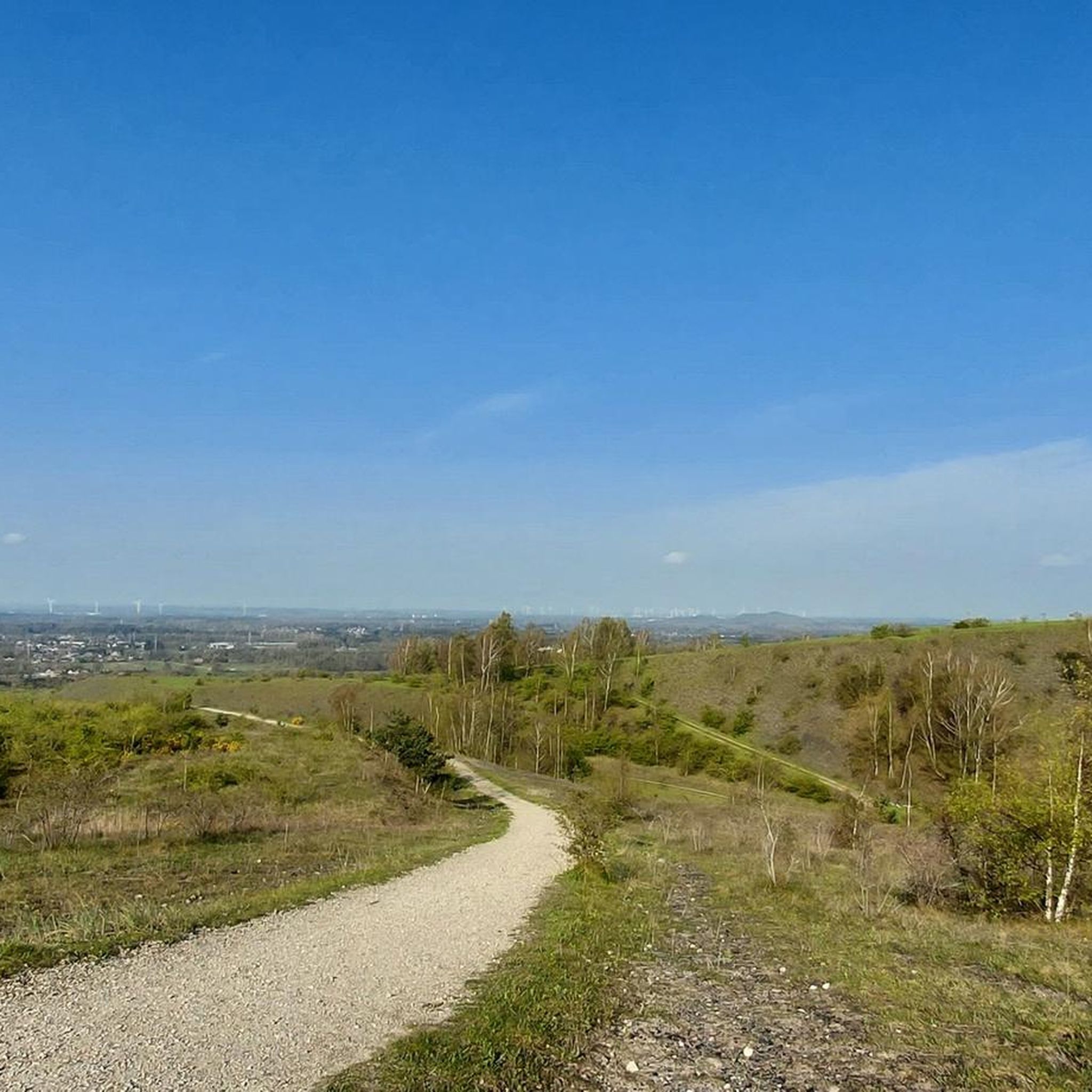
The slag heaps rise more than a hundred metres above the landscape and are therefore the ideal places to get an aerial view of the green, wooded Limburg. The view of the slag heap of Heusden-Zolder is so phenomenal that this spot has been awarded three landscape stars.
3
0

Tough walk, but once at the top you have a beautiful view of the surroundings
2
0
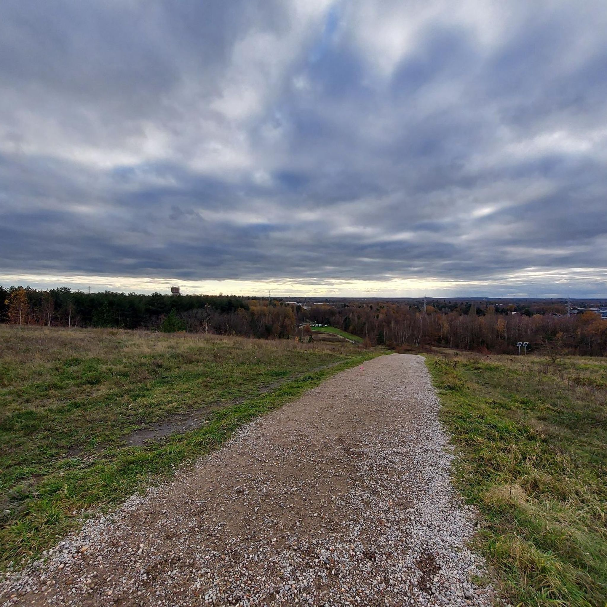
magnificent view of, among other things, the Lommel Sahara
3
0
Visitor centre De Watersnip is the ideal base for exploring the Zwarte Beek Valley. Various signposted walking routes start here. After a brisk walk, you can relax in the nature café. You can also go to the information desk with all your questions, including about the activities organised in the area. You will learn a great deal about the exceptional area and the species that live there, and you will also find nice books, gifts or gadgets on the theme of nature in the nature shop.
6
0
Camp Beverlo is one of the largest heathlands in Flanders (55 km2). Due to its vastness and military use, beautiful pieces of nature have been preserved. The domain is a patchwork of dry and wet heathlands, inland dunes, fens, seepage zones and marshy depressions. The Zwarte Beek crosses the landscape and forms one of the best preserved stream valley landscapes in the Benelux.
4
0
Frequently Asked Questions
What kind of terrain can I expect when running in Vlaams Natuurreservaat Helderbeek-Terril?
The reserve offers a diverse landscape for runners. You'll encounter inclines on the former Zolder coal mine spoil heap, known as the Terril, which rises 85 meters. Adjacent to this, the Helderbeek valley features flat paths through peaty grasslands and swamp forests, while the area also borders the Koerselse Heide, providing a mix of paved and unpaved surfaces.
Are there routes suitable for beginners or those looking for an easy run?
Yes, Vlaams Natuurreservaat Helderbeek-Terril has routes for all fitness levels. While many are moderate, there are over 50 easy routes available, perfect for a relaxed jog or for those new to trail running. These routes typically have less elevation gain and shorter distances.
Can I bring my dog along on the running trails?
The nature reserve is generally dog-friendly, but it's important to keep your dog on a leash to protect the local wildlife and grazing sheep, especially on the Terril. Always check specific trail signage for any additional rules regarding pets.
What are some notable natural features or viewpoints I can see while jogging?
The most striking feature is the Terril itself, offering elevated views over the surrounding landscape. You can also enjoy the picturesque Helderbeek valley with its peaty grasslands and swamp forests, and the bordering Koerselse Heide. Specific viewpoints include the Three-Star Point, Summit of Heusden-Zolder Spoil Tip and the View of the Heath in Helderbeek-Terril Nature Reserve.
Are there any circular running routes available?
Yes, many of the running routes in Vlaams Natuurreservaat Helderbeek-Terril are circular, allowing you to start and end at the same point. An example is the Running loop from Vlaams Natuurreservaat Helderbeek-Terril, which is 5.6 km long and takes about 38 minutes to complete.
How many running routes are there in Vlaams Natuurreservaat Helderbeek-Terril?
There are over 560 running routes available in Vlaams Natuurreservaat Helderbeek-Terril, offering a wide variety of distances and difficulty levels to explore.
What do other runners enjoy most about jogging in this nature reserve?
The area is highly rated by the komoot community, with an average score of 4.2 stars from over 160 reviews. Runners often praise the diverse terrain, from the challenging inclines of the Terril to the peaceful paths through the Helderbeek valley, and the opportunities for scenic views and wildlife observation.
Is there public transport access to Vlaams Natuurreservaat Helderbeek-Terril?
While the region is accessible, specific public transport options directly to the trailheads might be limited. It's advisable to check local bus schedules to nearby towns like Heusden or Helchteren and plan your route from there, possibly combining with a short walk or cycle.
Are there any cafes or places to eat near the running trails?
While the nature reserve itself is primarily natural, you can find cafes, restaurants, and pubs in the nearby towns of Heusden and Helchteren. For visitor information and potentially nearby amenities, the De Watersnip visitor center is a good resource.
What is the best time of year to go jogging in Vlaams Natuurreservaat Helderbeek-Terril?
The reserve is beautiful year-round, but spring and autumn offer particularly pleasant conditions with mild temperatures and vibrant natural colors. Summer can be warm, so early morning or late afternoon runs are recommended. Winter jogging is possible, but some paths might be muddy or icy, so appropriate footwear is essential.
Are there any long-distance running options for experienced runners?
Yes, for those seeking a longer challenge, routes like the Forest walking trail – Visitor Center De Watersnip loop from Vroegere mijnschacht 1 cover over 13 km. The varied terrain, including the Terril's elevation changes, provides a good workout for experienced runners.
Can families with children enjoy jogging or walking here?
Absolutely. The reserve offers a range of paths, including easier, flatter sections suitable for families. The diverse landscapes, from the unique Terril to the Helderbeek valley, provide an engaging environment for children to explore while jogging or walking.
Is there a route that explores the area around the former Zolder coal mine?
Yes, the Fouga Magister MT29 in Paal – Path by the Old Mine loop from Schachtbok voormalige Koolmijn Zolder is a popular 9.9 km route that specifically explores the historical area around the former Zolder coal mine, offering a unique blend of nature and industrial heritage.
Most popular routes in Vlaams Natuurreservaat Helderbeek-Terril
Most popular attractions in Vlaams Natuurreservaat Helderbeek-Terril

Get inspired with the komoot mobile app


Explore more
Browse the best Running Trails & Routes in other regions.
