The best walks and hikes in Kluisbos
4.5
(6928)
36,187
hikers
42
hikes
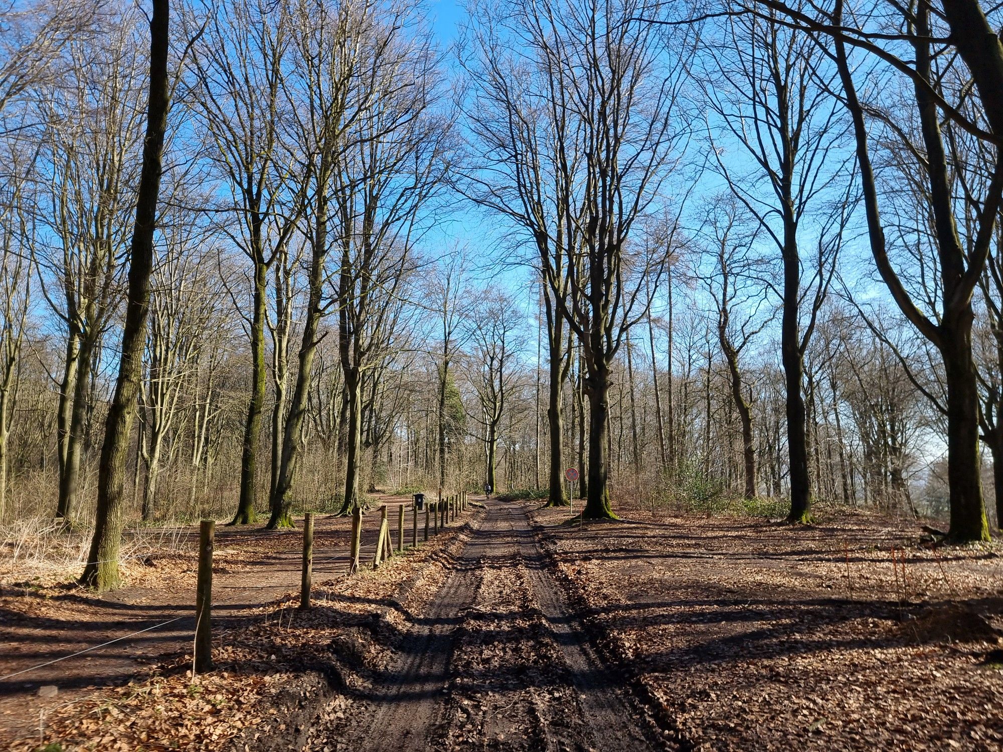
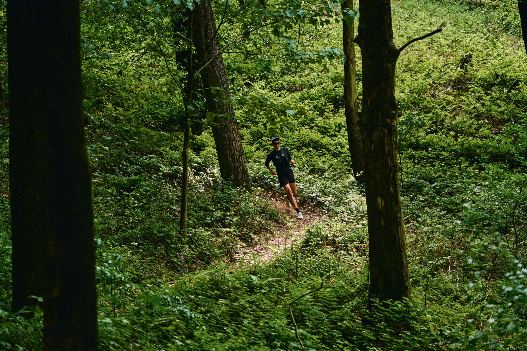
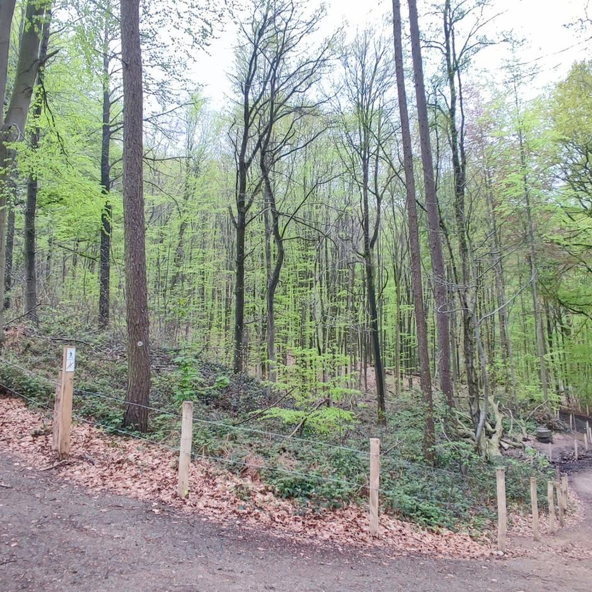
Hiking in Kluisbos offers a diverse landscape situated on the 141-meter-high Kluisberg, marking the linguistic border between Flanders and Wallonia. This extensive forest, spanning approximately 300 hectares, features rolling hills, dense woodlands, and varied terrain suitable for different fitness levels. The area includes a significant forest reserve with natural springs and pools, contributing to its ecological richness.
Best hiking trails in Kluisbos
- The most popular hiking route is Kluisbos Forest – Wooden Steps in Kluisbos loop from Kluisberg - Mont…
Last updated: August 22, 2026
4.6
(267)
1,260
hikers
Easy hike. Great for any fitness level. Easily-accessible paths. Suitable for all skill levels.
2
hikers
1.69km
00:29
40m
40m
Easy hike. Great for any fitness level. Easily-accessible paths. Suitable for all skill levels.

Sign up for free
4.6
(223)
1,072
hikers
6.38km
01:46
110m
110m
Easy hike. Great for any fitness level. Easily-accessible paths. Suitable for all skill levels.
4.5
(94)
430
hikers
7.04km
01:57
130m
130m
Easy hike. Great for any fitness level. Easily-accessible paths. Suitable for all skill levels.
4.6
(88)
491
hikers
15.9km
04:20
250m
250m
Moderate hike. Good fitness required. Easily-accessible paths. Suitable for all skill levels.
Get access to more routes and recommendations from other explorers.
Sign up for free
Already have an account?
Our route recommendations are based on thousands of hikes, rides, and runs completed by other people on komoot.
Start today with a free account
Your next adventure awaits.
Login or Signup
Popular around Kluisbos

Other adventures in Kluisbos


Tips from the Community

This is the absolute 'Valhalla' for long-distance hikers in the Kluisbos! This impressive wooden hiking tree marks a strategic junction where iconic Long Distance Paths (GR paths) cross. The characteristic white-red markings show you the way to legendary destinations far beyond the forest borders. From this point, you can literally discover all directions. GR 122 / GR 123 towards historic Doornik (Tournai) – 50 km GR 122 towards Ronse – 10 km GR 5A towards the Muur van Geraardsbergen – 43 km Towards the West Flemish coast to De Panne – 157 km Towards Oudenaarde – 25 km
2
0
What was the Vierschaar? The Vierschaar is an important historical legal site dating back to the Carolingian era (the 8th to 9th centuries). During that period, this was the location of the local court. Justice was not yet administered in an enclosed courtroom at that time, but outdoors in the open air. The term 'Vierschaar' literally refers to the setup of this extraordinary court: it was a square enclosed area (with four ropes or benches) within which the accused had to take a seat. The aldermen (the judges) sat on the benches to determine the verdict. It was only with the advent of the French Revolution at the end of the 18th century that this form of local open-air justice disappeared, and the court definitively moved into covered town halls. Fun fact: Germanic mythology in the Kluisbos: did you know that these open-air courts were traditionally deliberately set up under a linden tree or enormous beech trees? According to Germanic tradition, the goddess Freya resided in the linden tree. She symbolized justice, and her presence under the tree was believed to offer protection to the community during the pronouncement of the verdict.
2
0

Possibility for a break in a catering establishment.
0
0

Justice was administered here during the time of Charlemagne. A Vierschaar was a place, enclosed by four benches (scharen), where court sessions were held. In front of the Vierschaar stood four beech trees (originally lime trees) that indicated the direction of Berchem, Amougies, Orroir, and Kwaremont. Due to lightning, disease, and war, they disappeared one by one. Now the Vierschaar is a resting place in the forest, right on the language border. (Agentschap Natuur & Bos)
5
0
The Ronde van Vlaanderenstraat is 1.2 kilometers long. Cycle over the kilometer-long roll of honor that was applied to the road surface. And admire the wall of fame for all 125 winners of Flanders' Most Beautiful - 106 men and 19 women. in which the 76 Tour winners were incorporated. You will find them at the monument of Karel Van Wijnendale and it is a tribute to the icons of the cycling world. (Visit Vlaamse Ardennen)
4
0
Choose the direction you wish to follow here.
5
0
Here you literally walk back and forth across the language border. Nice, right.
4
0
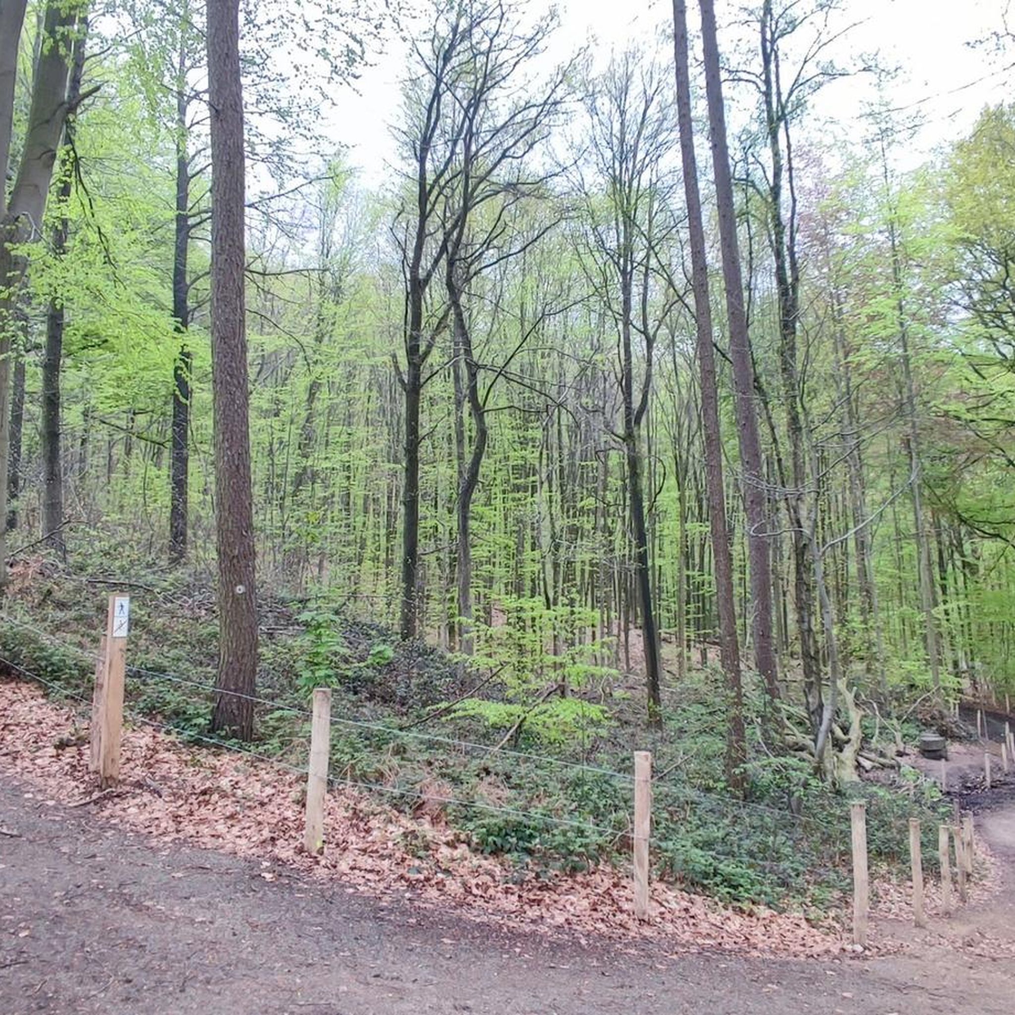
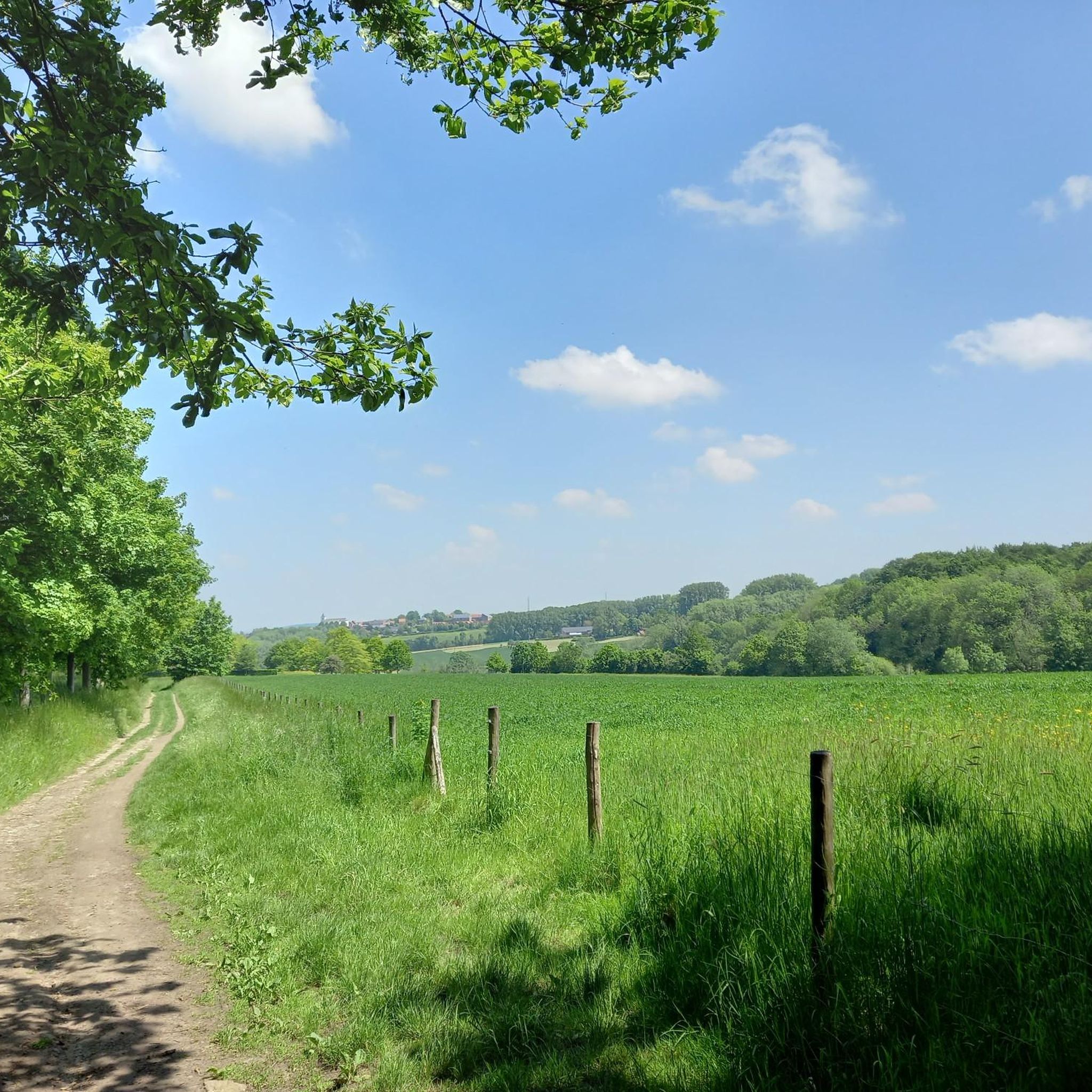
In the Kluisbos - on top of the 141-meter-high Kluisberg - you'll never run out of walking or cycling opportunities. This is the largest forest in the Flemish Ardennes.
5
0
Frequently Asked Questions
What kind of terrain can I expect when hiking in Kluisbos?
Kluisbos offers a diverse landscape, from rolling hills to dense woodlands. The trails feature varied terrain, including forest paths, some with wooden steps, and a central border path that follows the ridge separating Flanders and Wallonia. You'll find both easily accessible paths and more demanding routes.
Are there many hiking options for different skill levels in Kluisbos?
Yes, Kluisbos provides a wide range of hiking options. There are over 35 routes available, with 25 classified as easy, 11 as moderate, and 2 as difficult, ensuring there's something for every fitness level. For example, the Kluisbos Forest – Wooden Steps in Kluisbos loop is an easy 6.6 km trail.
What are some notable landmarks or attractions to look out for during a hike in Kluisbos?
Kluisbos is rich in intriguing attractions. You can discover the ancient rock formations of Peetje en Meetje Standing Stones, believed to be part of a dolmen. There's also an old watchtower, known as The Toren on Kluisberg, with historical significance. Keep an eye out for the whimsical Wooden Giants, inspired by local legends, strategically placed along various routes.
Are there any family-friendly hiking trails or activities in Kluisbos?
Absolutely. Kluisbos is a great destination for families. Many of the 25 easy routes are suitable for children. Additionally, the forest features equipped play zones with wooden structures, offering fun discoveries for younger visitors. The cross-border forest trail is a shorter, easy option at 1.7 km.
Can I bring my dog on the hiking trails in Kluisbos?
Yes, Kluisbos is generally dog-friendly, making it a popular spot for hikers with canine companions. While specific rules may vary, dogs are typically welcome on trails, often requiring them to be on a leash. Always ensure your dog is under control and respect other hikers and wildlife.
Are there circular hiking routes available in Kluisbos?
Yes, many of the hiking routes in Kluisbos are circular, allowing you to start and end at the same point. For instance, the Wooden Steps in Kluisbos – View of Kwaremont Church loop is a 6.9 km circular trail that takes you through varied forest terrain.
What do other hikers say about their experience in Kluisbos?
The komoot community highly rates Kluisbos, with an average score of 4.6 stars from over 600 reviews. Hikers often praise the diverse natural beauty, the well-maintained paths, and the unique cross-border experience. Many appreciate the variety of routes suitable for different abilities and the peaceful atmosphere of the forest.
Is there parking available near the hiking trails in Kluisbos?
Yes, Kluisbos offers various parking facilities that serve as convenient starting points for exploring the trails. These are typically well-signposted and provide easy access to the forest's extensive network of paths.
Are there any places to eat or drink near the hiking trails in Kluisbos?
Yes, after your hike, you can find amenities like the Bosbaar, a popular spot for local refreshments, enhancing the visitor experience. There are also cafes and pubs in nearby villages surrounding Kluisbos.
What is the best time of year to go hiking in Kluisbos?
Kluisbos is beautiful year-round, with each season offering a unique experience. Spring brings lush greenery and blooming flora, while autumn transforms the forest with vibrant colors. Summer is ideal for long walks under the canopy, and even winter offers serene, crisp hikes, though conditions may vary. The diverse landscape makes it enjoyable in any season.
Are there any longer, more challenging routes for experienced hikers?
Yes, for those seeking a longer and more challenging experience, Kluisbos offers moderate and even difficult routes. An example is the Kwaremont – Kluisbos Forest loop, a moderate 15.8 km trail that provides a more extensive exploration of the area's varied terrain and rolling hills.
Does Kluisbos have any unique natural features or wildlife?
Kluisbos is a significant forest reserve with rich ecological value. It features numerous natural springs and pools, which attract diverse wildlife, including the rare fire salamander. The undisturbed nature allows for habitats for various birds like the crested tit and tawny owl. The forest is dominated by beech and oak trees, but also includes maple, birch, and sweet chestnut.
Most popular routes in Kluisbos
Most popular attractions in Kluisbos

Get inspired with the komoot mobile app


Explore more
Browse the best Hikes in other regions.
