The best road cycling routes in Lütjenholmer Und Bargumer Heide
4.8
(29)
632
riders
124
rides
Road cycling routes in Lütjenholmer Und Bargumer Heide traverse a diverse landscape characterized by inland dunes, extensive heathlands, and mixed forests. The region, situated at the western edge of the Schleswig-Holsteinische Geest, features a relatively flat topography with elevations ranging from 2 to 11 meters above sea level. This terrain provides suitable conditions for road cyclists seeking routes without significant climbs. The area also includes wetlands and the Soholmer Au stream, contributing to varied scenery.
Best road cycling routes in…
Last updated: July 10, 2026
7
riders
50.6km
01:57
100m
100m
Easy road ride. Great for any fitness level. Mostly well-paved surfaces and easy to ride.
4.5
(2)
3
riders
36.5km
01:28
100m
100m
Easy road ride. Great for any fitness level. Mostly well-paved surfaces and easy to ride.

Sign up for free
4.0
(1)
3
riders
44.9km
01:48
80m
80m
Easy road ride. Great for any fitness level. Mostly well-paved surfaces and easy to ride.
10
riders
24.7km
01:09
100m
100m
Moderate road ride. Great for any fitness level. Some segments of this route may be unpaved and difficult to ride.
5.0
(2)
24
riders
Easy road ride. Great for any fitness level. Mostly well-paved surfaces and easy to ride.
Get access to more routes and recommendations from other explorers.
Sign up for free
Already have an account?
Our route recommendations are based on thousands of hikes, rides, and runs completed by other people on komoot.
Start today with a free account
Your next adventure awaits.
Login or Signup
Popular around Lütjenholmer Und Bargumer Heide
Tips from the Community

By train to Oland (ONLY available for overnight guests on the Hallig Oland!) Dagebüll - Oland The trip to the Hallig Oland starts in Dagebüll. Please contact your host after booking to arrange a personalized pick-up time. Transfer on the Hallig Langeneß We have a "Hallig taxi" available on the Hallig itself. You can book this for tours outside of peak season (July/August) or for shuttle trips year-round. Please make a reservation at least 24 hours in advance by calling 04684 28 29 633. For groups of fewer than 5 people, a travel fee of €5 applies. Dogs and bicycles are not permitted. https://langenness.de/halligurlaub/anreise
1
0


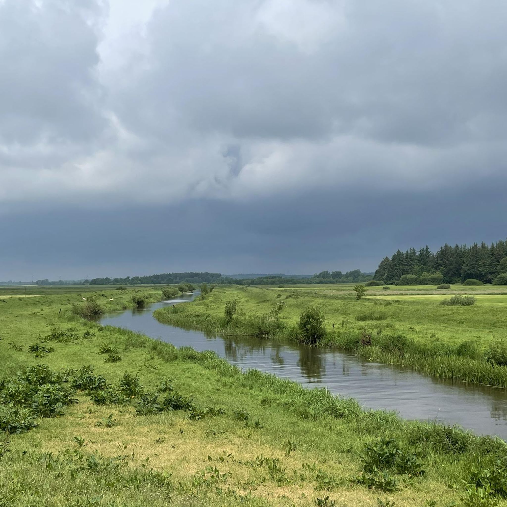
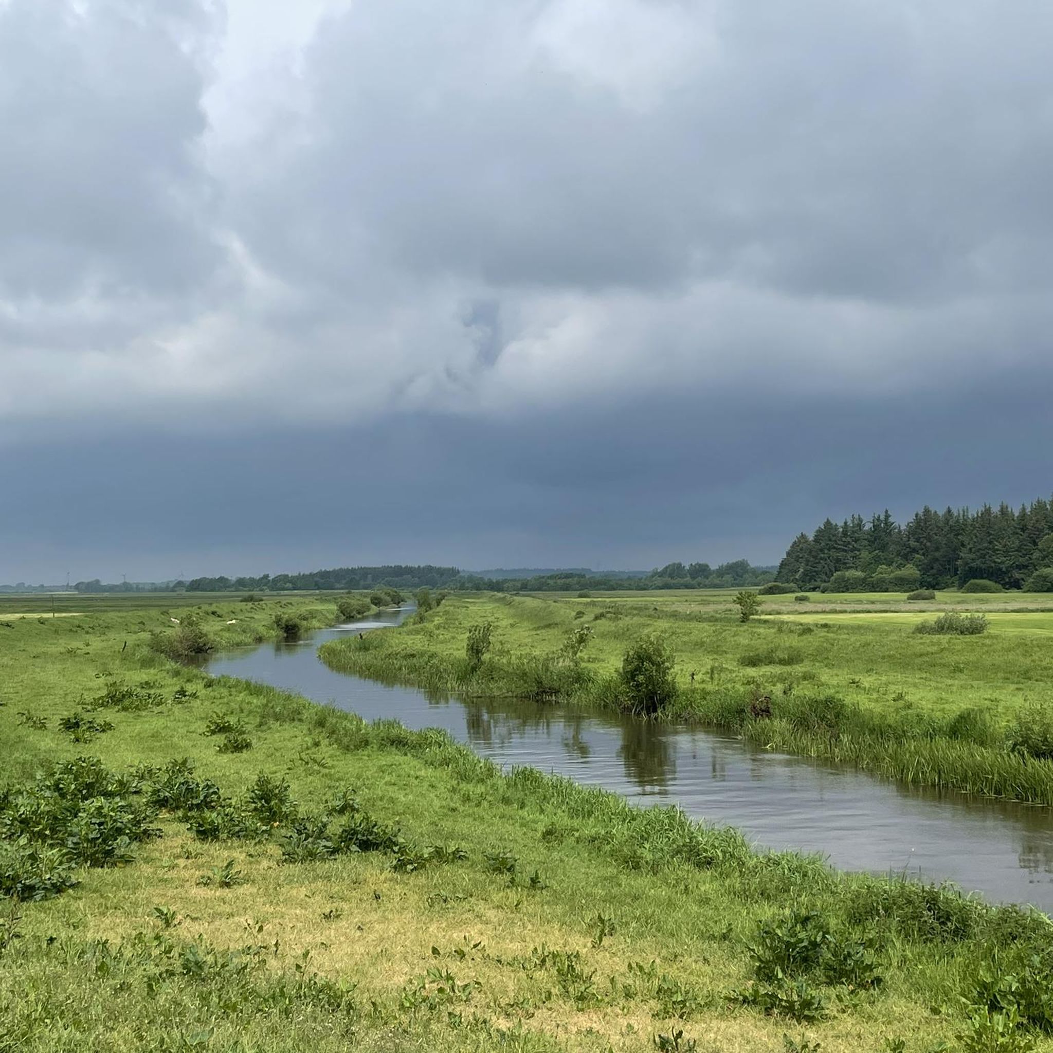
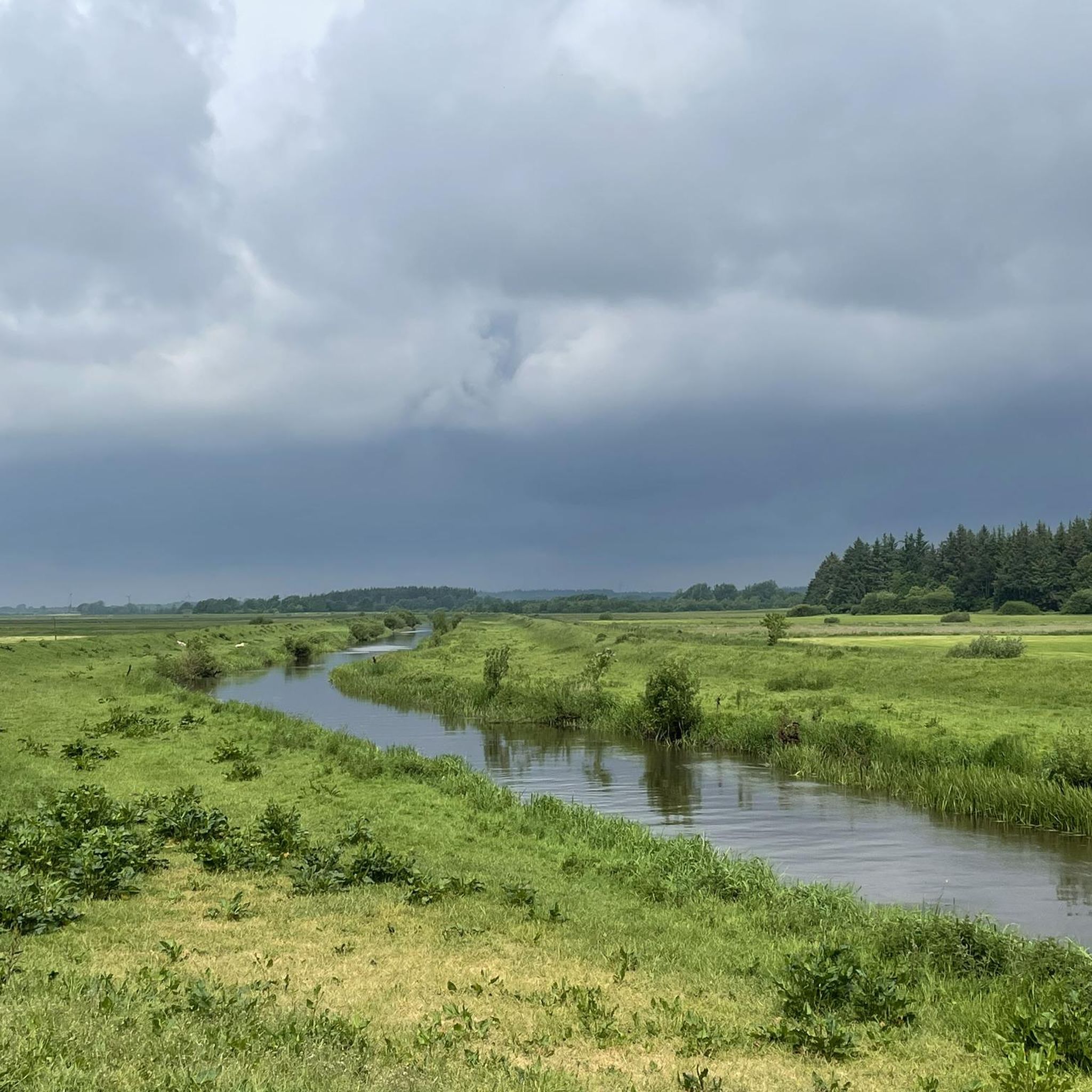
Pretty cheeky to steal the picture here https://de.m.wikipedia.org/wiki/FFH-Gebiet_L%C3%BCtjenholmer_und_Bargumer_Heide
2
0

Nowhere else in Germany can you travel so close to the sea by train
1
0
Great homemade vehicles. Unfortunately, they rarely drive
0
2

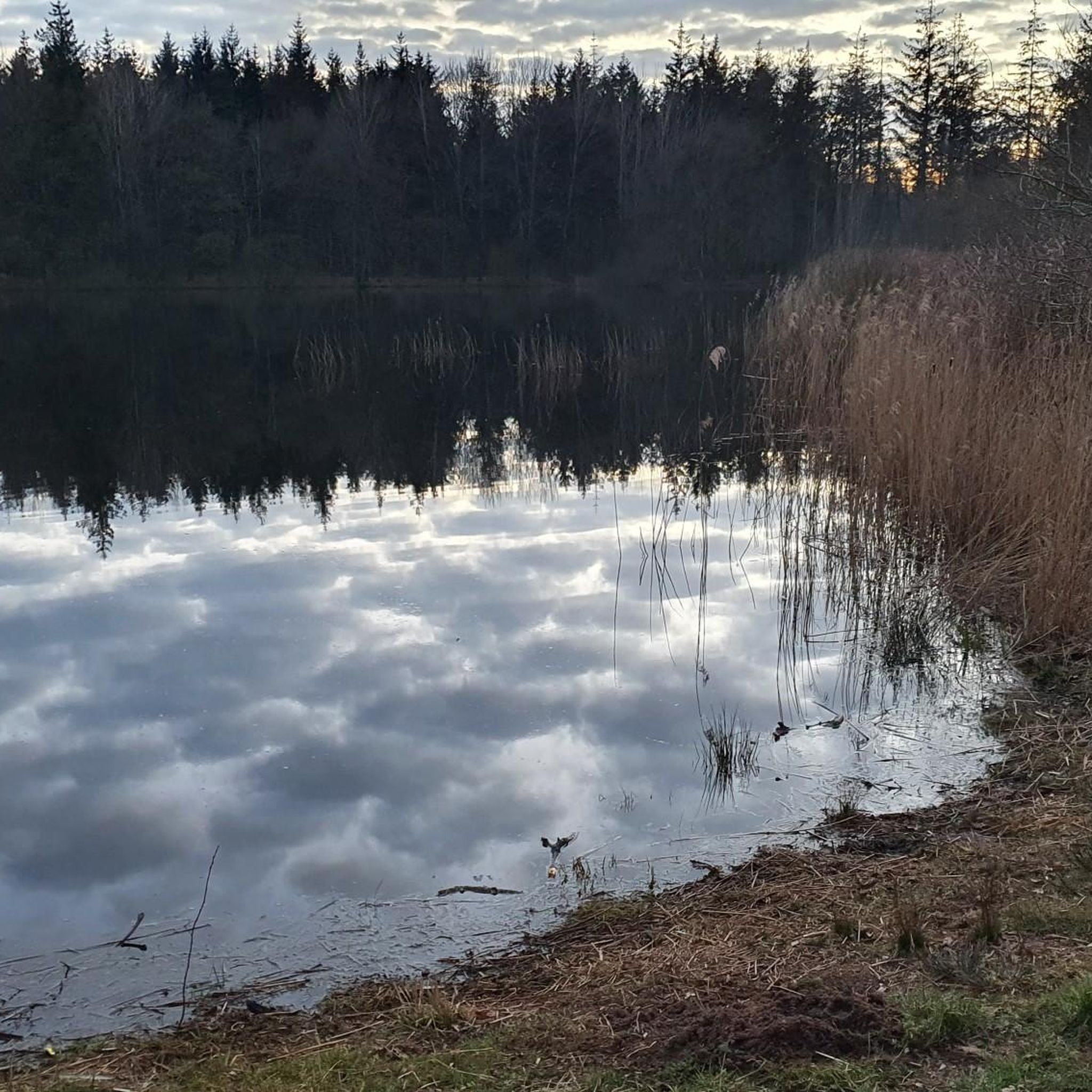
Beautifully situated on the small lake...
6
0

Frequently Asked Questions
What is the general terrain like for road cycling in Lütjenholmer Und Bargumer Heide?
The region offers a relatively flat topography, with elevations typically ranging from 2 to 11 meters above sea level. This makes it ideal for road cyclists seeking enjoyable rides without significant climbs, traversing a mix of heathlands, forests, and wetlands.
How many road cycling routes are available in Lütjenholmer Und Bargumer Heide?
There are over 130 road cycling routes available in Lütjenholmer Und Bargumer Heide, catering to various preferences. The majority are classified as easy or moderate, with no difficult routes listed.
What natural features can I expect to see while cycling in the area?
Road cycling routes in Lütjenholmer Und Bargumer Heide often pass through diverse landscapes. You can expect to see unique inland dunes, extensive heathlands, mixed forests, and wetlands. The Soholmer Au stream also adds to the varied scenery.
Are there any specific landmarks or points of interest along the road cycling routes?
While cycling, you might encounter historical features such as a Hügelgrab (burial mound) within the Lütjenholmer Süderheide. The region's protected inland dunes, like those in the Bargumer Heide and the Lütjenholmer Heidedünen nature reserve, are also notable natural attractions.
What do other cyclists say about road cycling in Lütjenholmer Und Bargumer Heide?
The area is highly rated by the komoot community, with an average score of 4.8 stars from over 20 reviews. Cyclists often praise the tranquil environment and the unique combination of heathlands, forests, and accessible routes.
Are there any family-friendly road cycling options in Lütjenholmer Und Bargumer Heide?
Yes, the predominantly flat terrain makes many routes suitable for families. For instance, the Roadbike loop from Mönkebüll is an easy 27.7-mile path that navigates through open countryside, perfect for a relaxed family outing.
What is a good route for an easy road cycling experience?
For an easy and scenic ride, consider the Schafflund Watermill – Niebüller Backstube Schafflund loop from Lütjenholm. This 31.4-mile route offers views of the local agricultural landscape and waterways.
Are there any longer, moderate road cycling routes available?
Yes, for a moderate challenge, the Cecilienkoog Observation Tower – Aarlau lock pumping station loop from Langenhorn (Schleswig) is a 60.9-kilometer route that provides a longer ride through varied scenery.
Is public transport available to access the cycling routes?
While specific public transport links directly to trailheads might be limited, the region is generally accessible. It's advisable to check local bus or train schedules for connections to towns like Bargum or Lütjenholm, from where you can start your cycling tours.
Where can I find parking for road cycling in Lütjenholmer Und Bargumer Heide?
Parking is generally available in the villages and towns surrounding the Lütjenholmer Und Bargumer Heide, such as Lütjenholm or Bargum. Look for designated parking areas or public spaces where you can safely leave your vehicle before starting your ride.
Are permits required for cycling in the protected areas?
Generally, no special permits are required for cycling on public roads and designated paths within the Lütjenholmer Und Bargumer Heide. However, always respect local signage, especially within nature reserves like the FFH-Gebiet Lütjenholmer und Bargumer Heide, and stick to marked routes to protect the sensitive ecosystems.
What is the best time of year for road cycling in this region?
The spring, summer, and early autumn months typically offer the most pleasant conditions for road cycling in Lütjenholmer Und Bargumer Heide, with milder weather and longer daylight hours. These seasons allow you to fully enjoy the open heathlands and diverse landscapes.
Are there any road cycling routes that pass by water features?
Yes, several routes incorporate water features. For example, the Waterway Near Breklum loop from Northern Friesland leads through local waterways and fields, offering picturesque views along the way.
Most popular routes in Lütjenholmer Und Bargumer Heide

Get inspired with the komoot mobile app


Explore more
Browse the best Road cycling routes in other regions.
