The best road cycling routes in Dummersdorfer Ufer
4.5
(517)
6,658
riders
235
rides
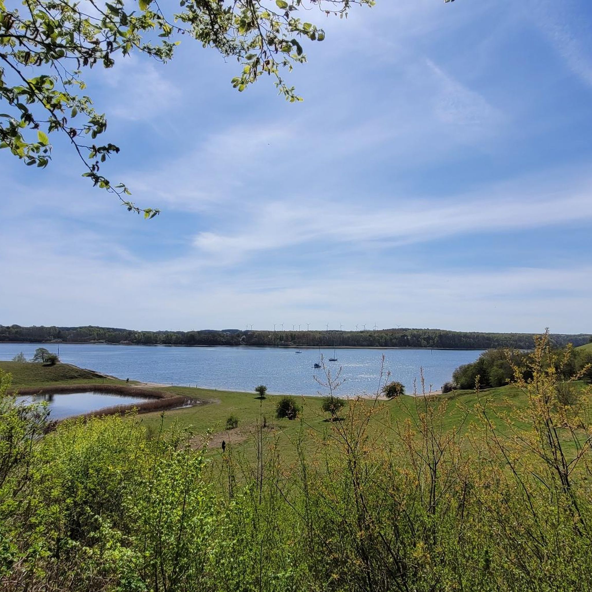
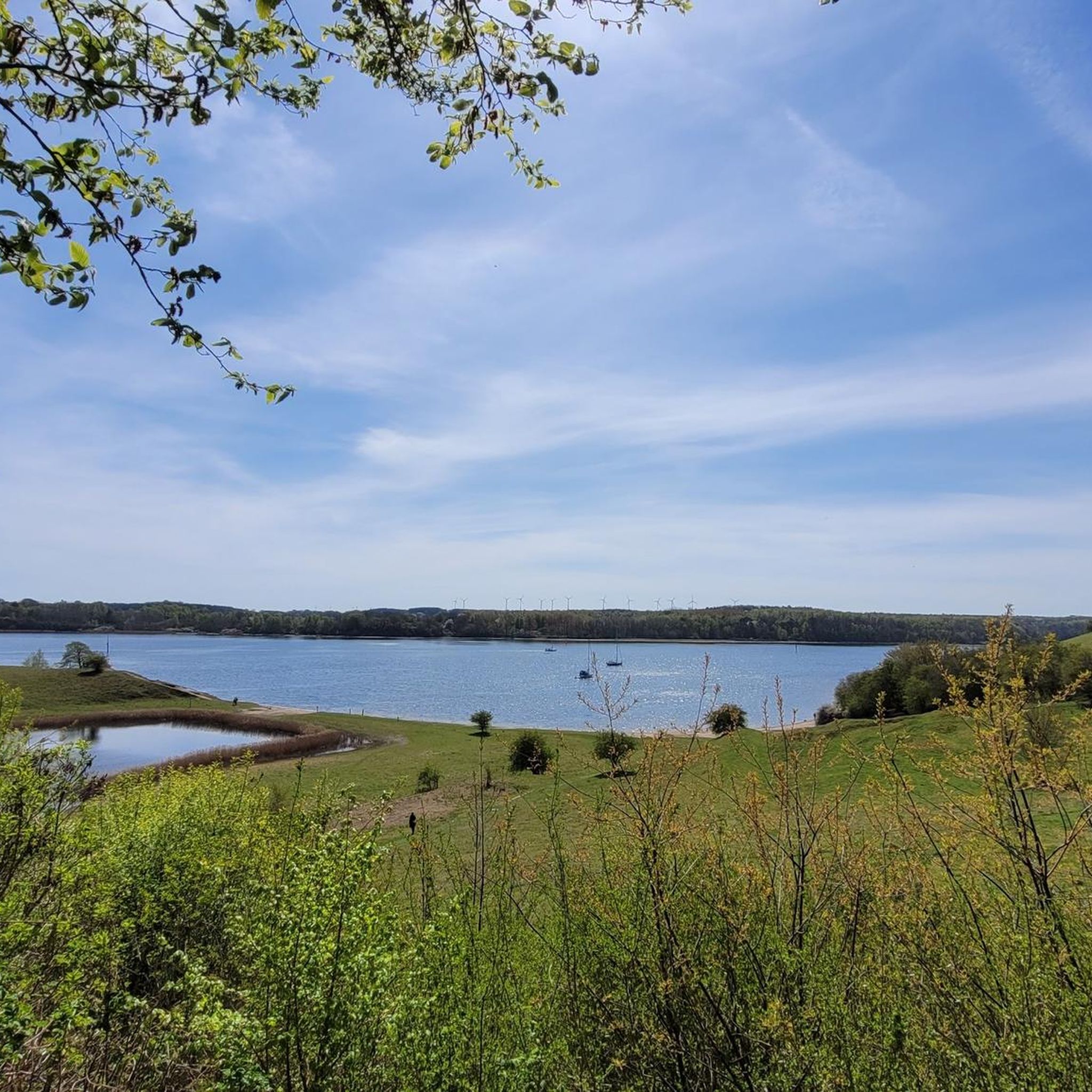
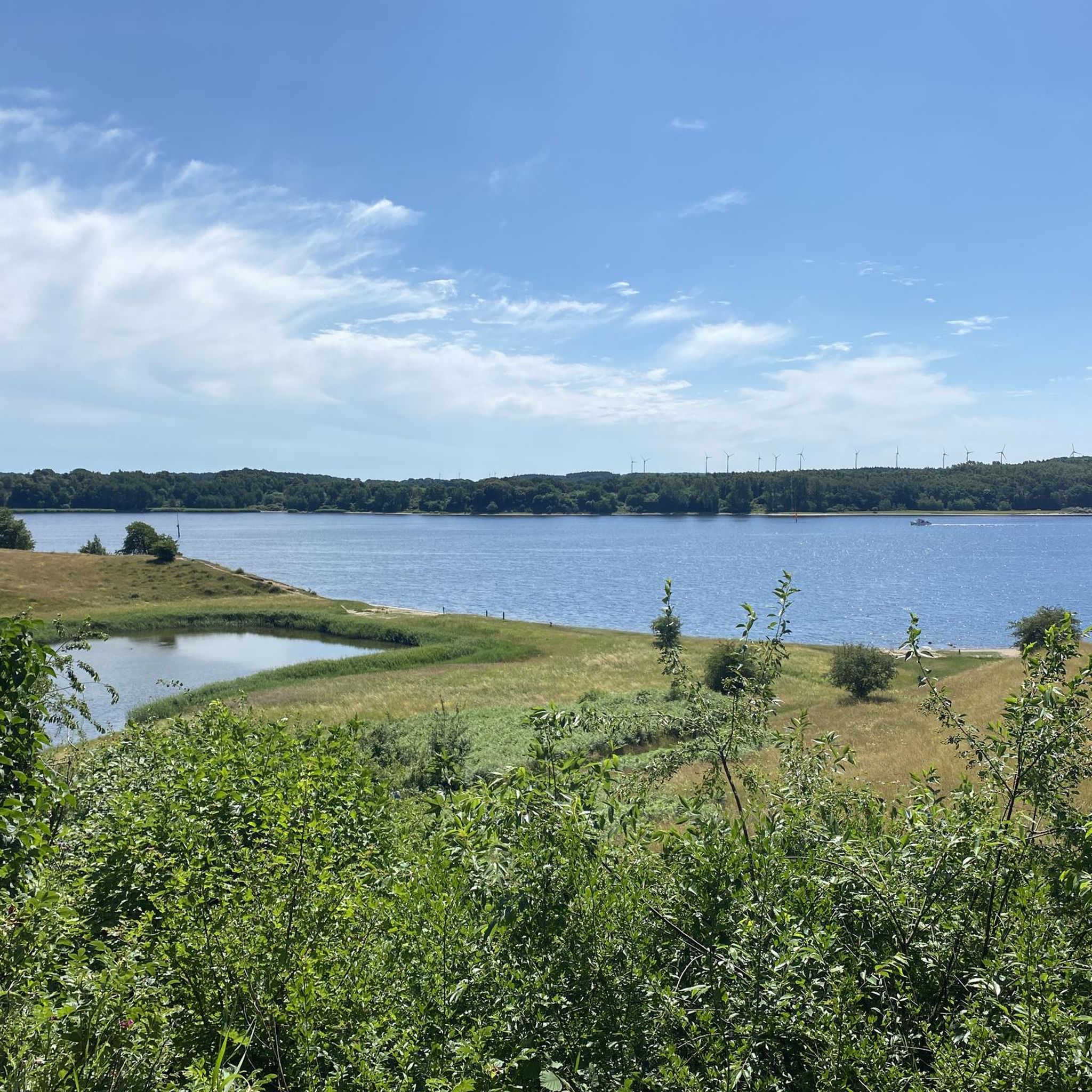
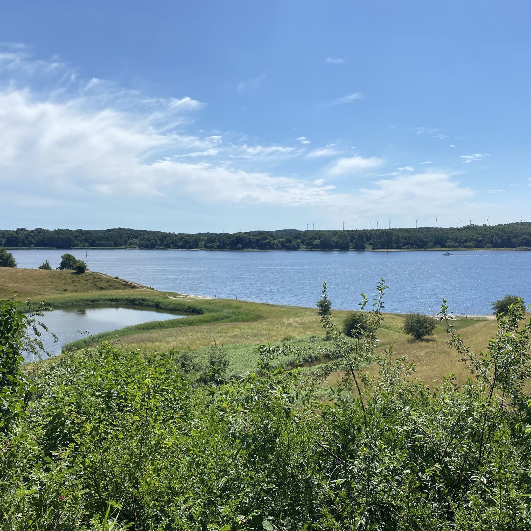
Road cycling in Dummersdorfer Ufer features routes along the Trave River and its steep coasts, offering varied terrain for cyclists. The landscape includes undulating sections formed during the Ice Ages, providing dynamic rides with elevation changes. Cyclists can experience diverse biotopes, including dry grasslands and forest paths, within this protected nature reserve. Routes often provide views of the water, passing ships, and abundant waterfowl.
Best road cycling routes in Dummersdorfer Ufer
- The most popular road cycling route is Eric Warburg Bridge – Pöppendorf Rampart loop from Lübeck-Kücknitz, a 25.9 miles (41.8 km) trail that takes 1 hour 44 minutes to complete. This route offers views along the Trave River and through undulating terrain.
- Another top favourite among local road cyclists is Neustadt in Holstein Harbour – View of the Baltic Sea loop from Lübeck-Travemünde Skandinavienkai, a difficult 99.9 miles (160.9 km) path. This extensive route provides expansive views of the Baltic Sea and coastal landscapes.
- Local road cyclists also love the View of the Baltic Sea Beach – View of the Baltic Sea loop from Lübeck-Travemünde Skandinavienkai, a 26.0 miles (41.9 km) trail leading through coastal areas, often completed in about 1 hour 48 minutes.
- Road cycling in Dummersdorfer Ufer is defined by steep coasts, Trave River views, and forest paths. The network offers options for different ability levels, from easy coastal rides to more challenging routes with elevation gains.
- The routes in Dummersdorfer Ufer are highly rated by the komoot community with an average score of 4.6 stars from over 400 reviews. More than 6000 road cyclists have used komoot to explore Dummersdorfer Ufer's varied terrain.
Last updated: October 12, 2026
4.3
(14)
212
riders
Moderate road ride. Great for any fitness level. Some segments of this route may be unpaved and difficult to ride.
4.8
(15)
173
riders
Hard road ride. Very good fitness required. Mostly well-paved surfaces and easy to ride.

3.0
(1)
20
riders
Moderate road ride. Great for any fitness level. Some segments of this route may be unpaved and difficult to ride.
4.5
(4)
13
riders
Moderate road ride. Great for any fitness level. Some segments of this route may be unpaved and difficult to ride.
17
riders
Moderate road ride. Great for any fitness level. Some segments of this route may be unpaved and difficult to ride.
Get access to more routes and recommendations from other explorers.
Already have an account?
Our route recommendations are based on thousands of hikes, rides, and runs completed by other people on komoot.
Start today with a free account
Your next adventure awaits.

Tips from the Community

A lovely rest area right at a road junction... If you're traveling by bicycle, you can repair your bike at the on-site repair station.
1
0

Timmendorferstrand is a very nice place to linger, stroll and shop.
0
0
A beautiful new pier has been built at Timmendorfer Strand. A visit is highly recommended.
0
0
Timmendorferstrand is a very nice place to linger, stroll and shop.
0
0
Timmendorferstrand is a very nice place to linger, stroll and shop.
0
0

Frequently Asked Questions
What kind of terrain can I expect when road cycling in Dummersdorfer Ufer?
Road cycling in Dummersdorfer Ufer offers a dynamic experience with varied terrain. You'll encounter impressive steep coasts and gentle hills, remnants of the Ice Ages, providing routes with elevation changes. While many routes feature mostly paved surfaces suitable for road bikes, some sections might include unpaved paths, adding to the adventure. The landscape also includes beautiful forest paths along the Trave River, which can be steep but offer shaded riding.
Are there road cycling routes suitable for beginners or families in Dummersdorfer Ufer?
Yes, Dummersdorfer Ufer offers road cycling options for various ability levels. While some routes present more challenging excursions with elevation gains, there are also easier coastal rides available. For example, the View of the Baltic Sea Beach – View of the Baltic Sea loop from Lübeck-Travemünde Skandinavienkai is an easy 26.0-mile (41.9 km) trail that takes about 1 hour 48 minutes to complete, making it a good option for those seeking a less strenuous ride.
What natural features and wildlife can I observe while cycling in Dummersdorfer Ufer?
Dummersdorfer Ufer is a designated nature reserve, rich in diverse biotopes. As you cycle, you can observe active cliffs, undisturbed beach sections, dry grasslands, and scrub forests. The dry grasslands, especially around Stülper Huk, host rare plant species. The area is also home to various insects, waterfowl, and amphibians, particularly around the restored Silkteich coastal pond. Routes often run along the Trave River, providing views of abundant waterfowl and passing ships.
What are some notable landmarks or viewpoints along the road cycling routes?
Several points of interest enhance the cycling experience in Dummersdorfer Ufer. You can visit Stülper Huk, a peninsula offering grandiose views over the Trave and a historical monument. There are also observation towers and strategically placed benches along the Dummersdorfer Ufer, providing opportunities to rest and enjoy scenic views, including the Scandinavia Quay and ferries. The View from the Trave Observation Tower is a particularly recommended spot.
How many road cycling routes are available in Dummersdorfer Ufer?
There are over 240 road cycling routes available in Dummersdorfer Ufer, catering to a wide range of preferences and fitness levels. These routes have been explored by more than 6,000 road cyclists using komoot.
What do other road cyclists enjoy most about road cycling in Dummersdorfer Ufer?
The road cycling routes in Dummersdorfer Ufer are highly rated by the komoot community, with an average score of 4.6 stars from over 400 reviews. Cyclists often praise the varied terrain, the scenic views along the Trave River, and the opportunity to experience diverse natural landscapes within the protected nature reserve.
Are there any loop trails for road cycling in Dummersdorfer Ufer?
Yes, many road cycling routes in Dummersdorfer Ufer are designed as loops, offering convenient starting and ending points. An example is the Eric Warburg Bridge – Pöppendorf Rampart loop from Lübeck-Kücknitz, a 25.9-mile (41.8 km) trail that provides views along the Trave River and through undulating terrain.
What is the best time of year to go road cycling in Dummersdorfer Ufer?
Dummersdorfer Ufer offers enjoyable road cycling experiences throughout much of the year. The diverse biotopes and river views are beautiful in spring and summer, while the changing foliage in autumn can also be very scenic. Given the coastal influence, checking local weather forecasts is always advisable for the most comfortable riding conditions.
Where can I find parking for road cycling routes in Dummersdorfer Ufer?
While specific parking locations for each route vary, Dummersdorfer Ufer is accessible, and parking options are generally available near popular starting points or access points to the nature reserve. It's recommended to check the details of your chosen route on komoot for the most precise parking information.
Can I access Dummersdorfer Ufer road cycling routes using public transport?
Yes, Dummersdorfer Ufer can be accessed via public transport, particularly from nearby urban centers like Lübeck. Public transport options often connect to areas close to the nature reserve, allowing cyclists to reach starting points for various routes. For detailed information on public transport schedules and stops, you might consult local transport providers.
Are there cafes or refreshment stops along the road cycling paths in Dummersdorfer Ufer?
While Dummersdorfer Ufer is primarily a nature reserve, there are often opportunities for refreshment in nearby towns or villages accessible from the cycling routes. For example, routes starting from Lübeck-Travemünde Skandinavienkai, such as the Neustadt in Holstein Harbour – View of the Baltic Sea loop, will pass through or near areas with cafes and pubs.
What is the longest road cycling route available in Dummersdorfer Ufer?
For those seeking a longer challenge, the Neustadt in Holstein Harbour – View of the Baltic Sea loop from Lübeck-Travemünde Skandinavienkai is a difficult 99.9-mile (160.9 km) path. This extensive route provides expansive views of the Baltic Sea and coastal landscapes, offering a significant endurance test.
Are there any moderate difficulty road cycling routes in the area?
Yes, Dummersdorfer Ufer offers a good selection of moderate difficulty routes. For instance, the Warnsdorf–Kreuzkamp Cycle Path loop from Kücknitz is a moderate 12.9-mile (20.8 km) route, and the Roadbike loop from Kücknitz is another moderate option at 8.9 miles (14.4 km), both offering engaging rides without extreme challenges.
Most popular routes in Dummersdorfer Ufer
Most popular attractions in Dummersdorfer Ufer

Get inspired with the komoot mobile app


Explore more
Browse the best Road cycling routes in other regions.
