Attractions and Places To See in Standortsübungsplatz Wüstenei - Top 3
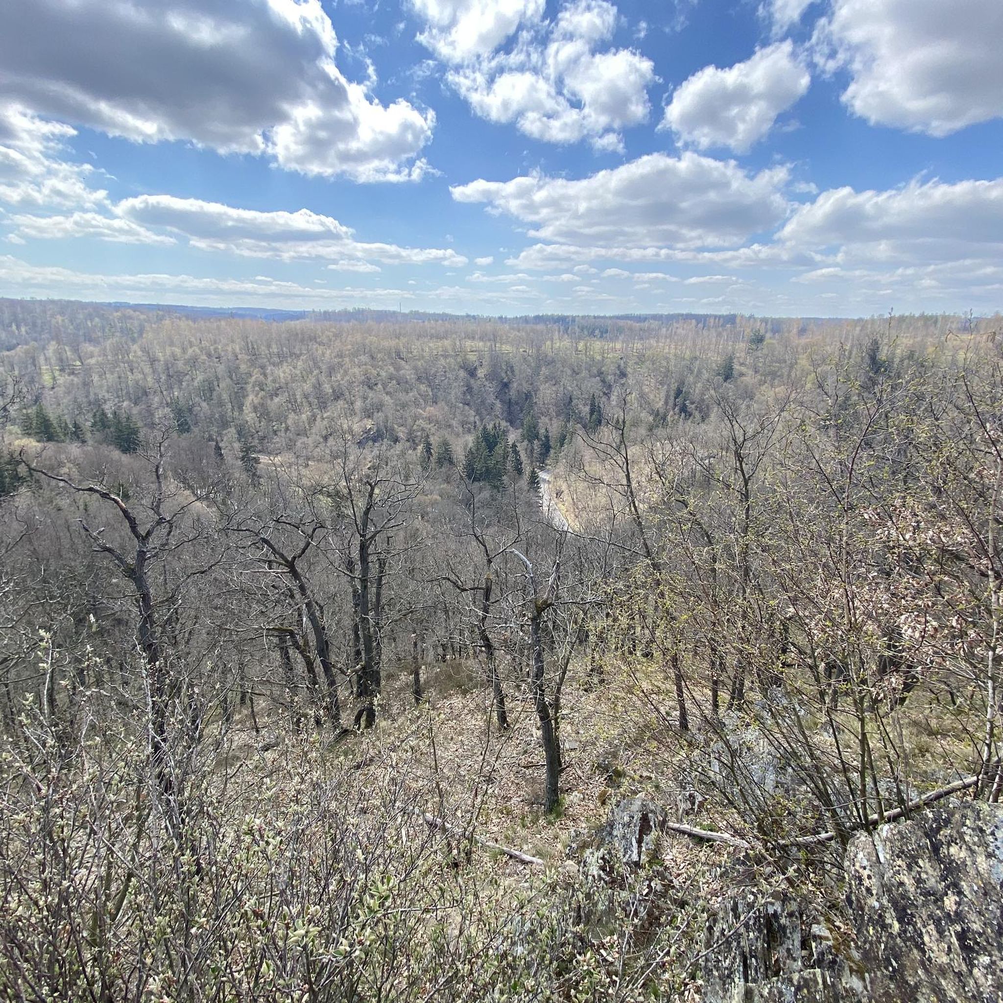
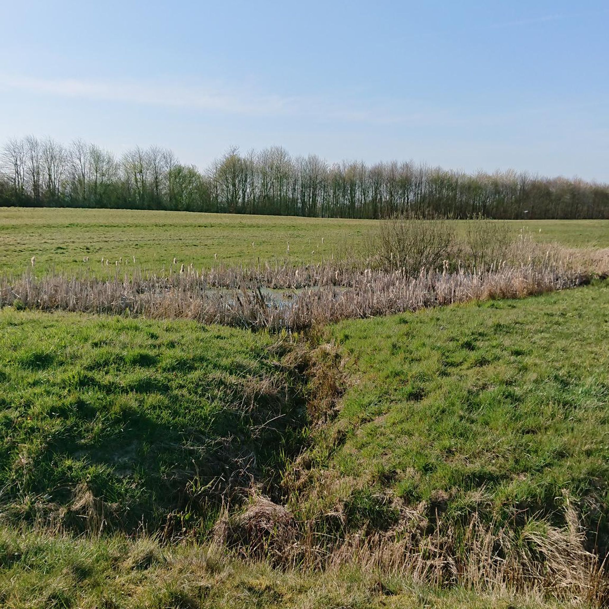
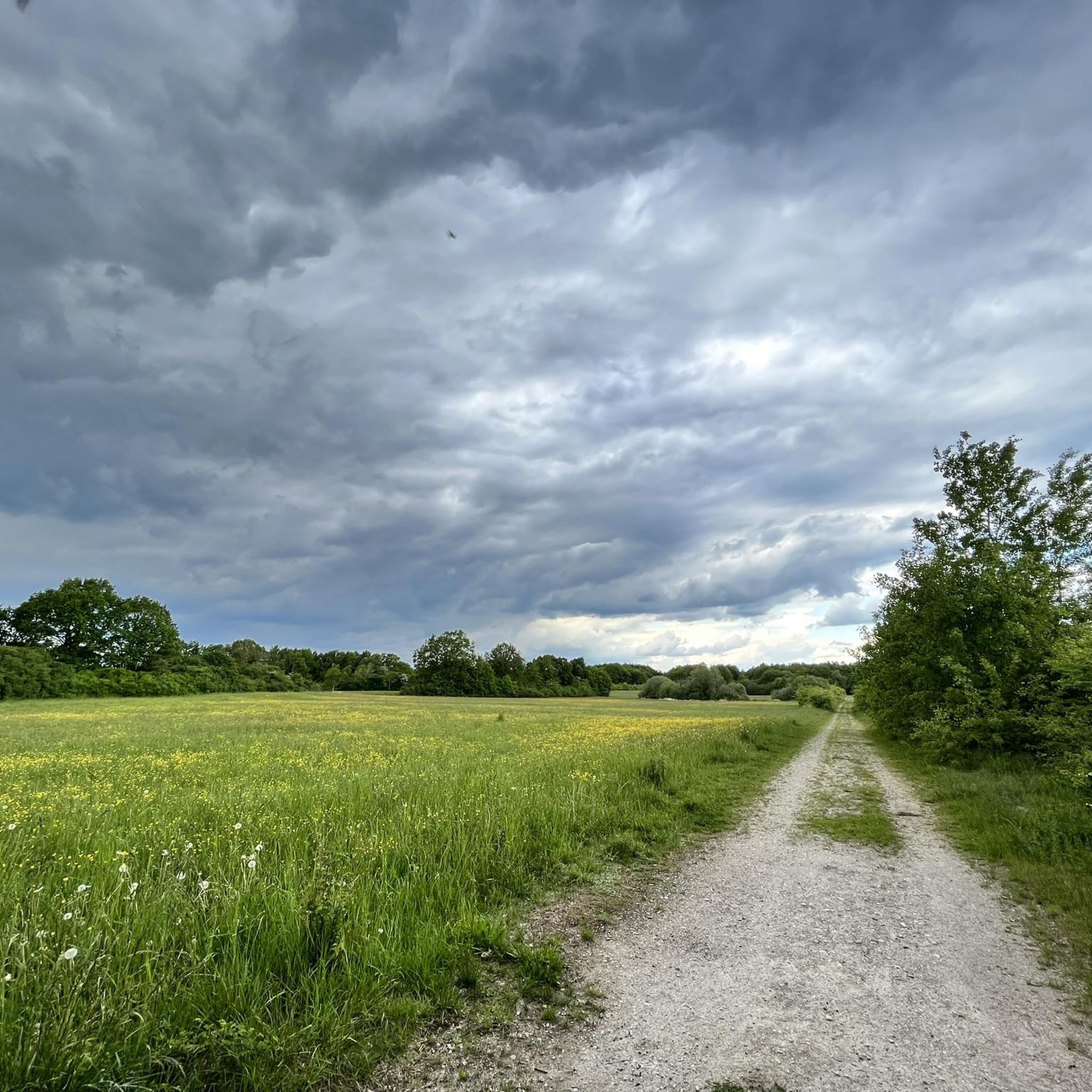
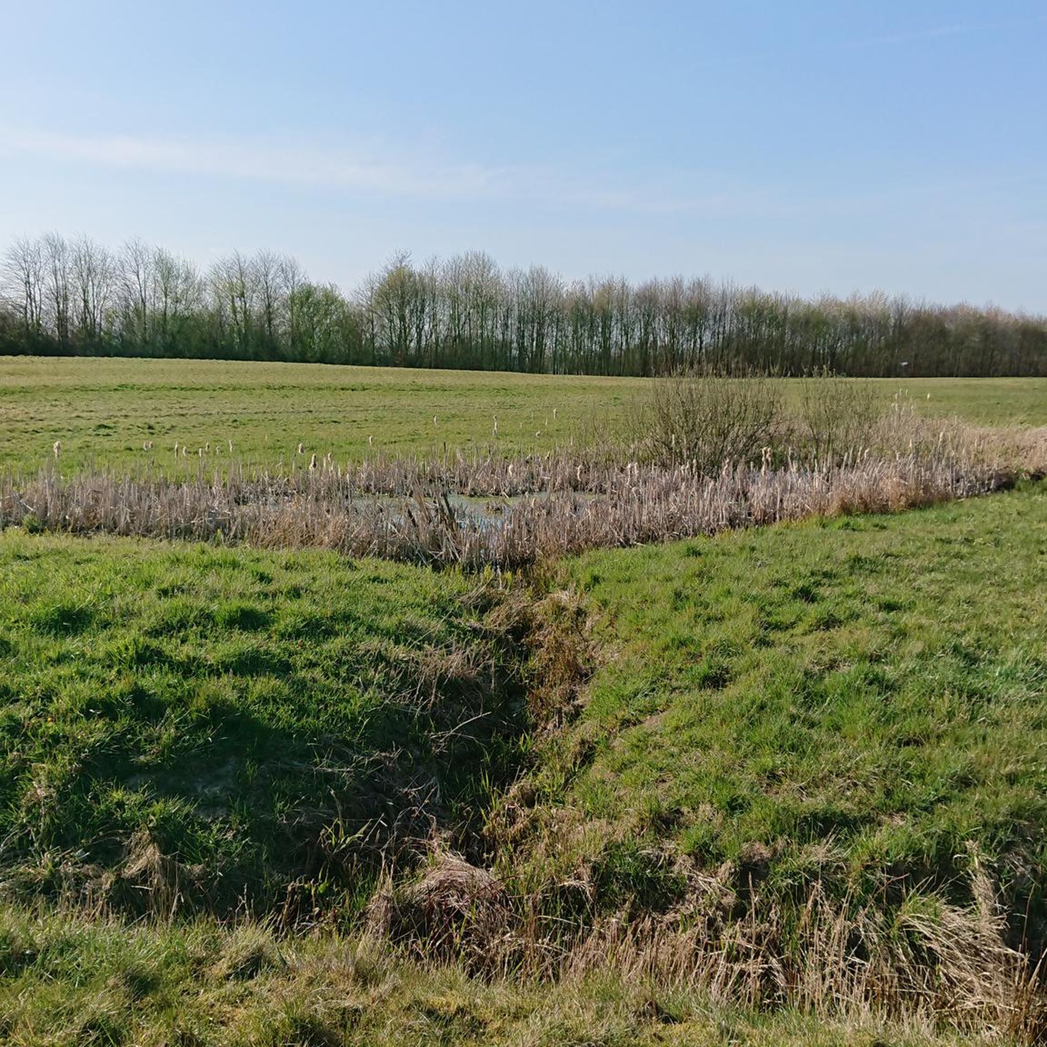
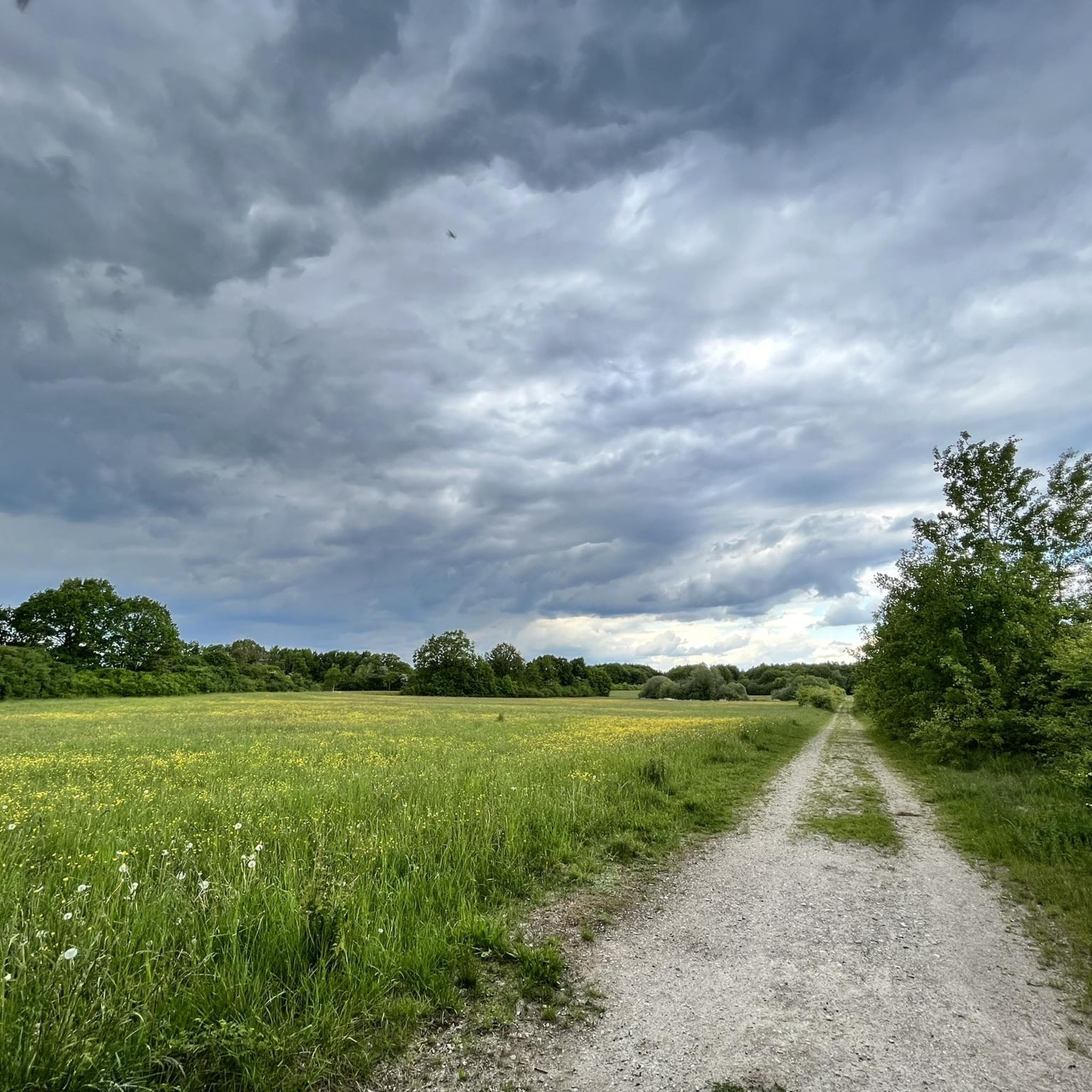
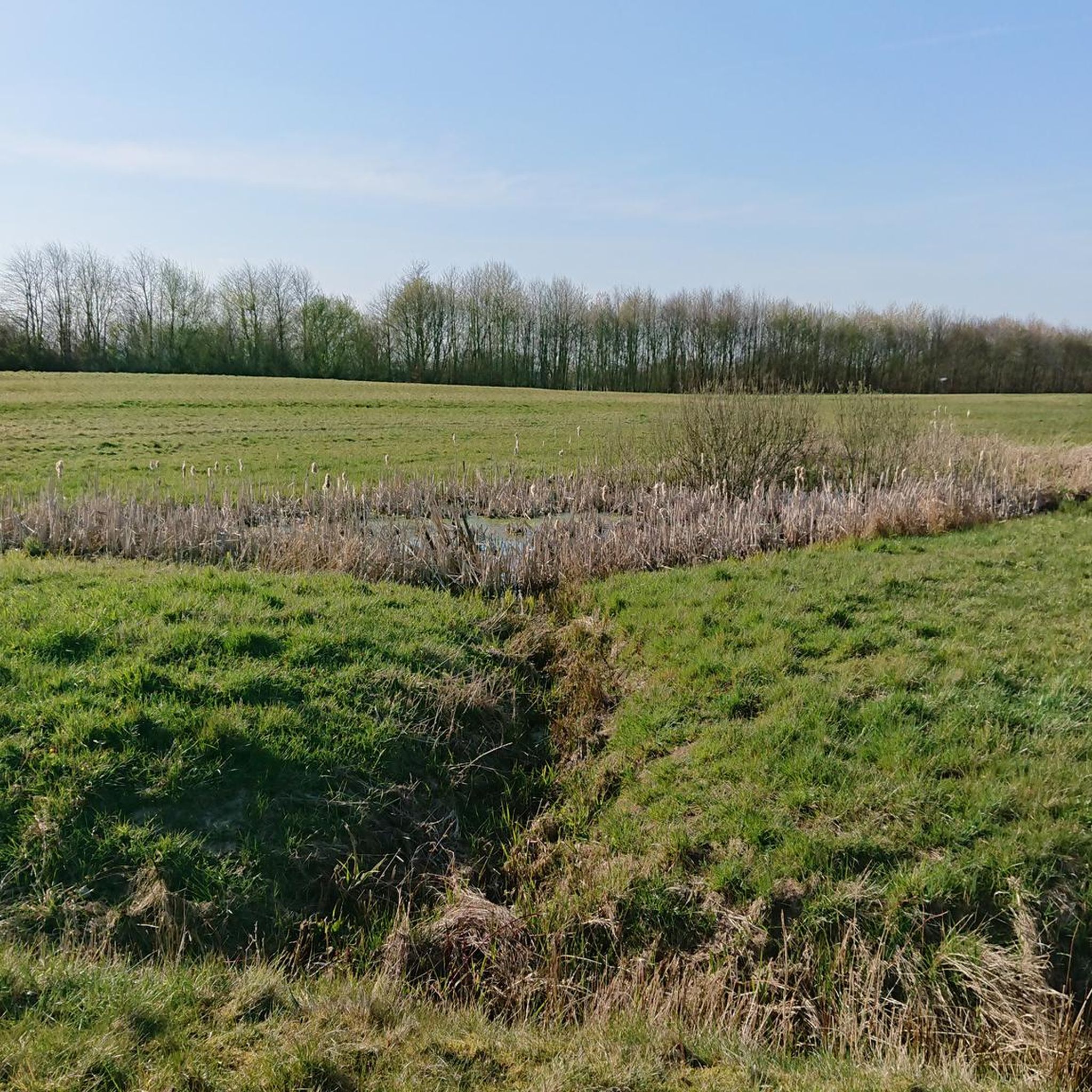
Best attractions and places to see in Standortsübungsplatz Wüstenei include a nature reserve and a former military training area located northwest of the Lübeck motorway junction. This 386-hectare area features approximately 64% grassland with fens and ponds, and about 27% forest, with 227 hectares protected under the EU Flora-Fauna-Habitat directive. While parts are restricted due to its history as a military training ground, the eastern section near Groß Steinrade is freely accessible to the public as a nature reserve. The…
Last updated: July 5, 2026
Wüstenei Military Training Area
Highlight • Natural
The …
Translated by Google •
Tip by

Wüstenei Training Area Nature Reserve
Highlight • Natural Monument
Translated by Google •
Tip by

Sign up now to discover places like this
Get recommendations on the best single tracks, peaks, & plenty of other exciting outdoor places.
Sign up for free
over the embankment (Wüstenei)
Highlight • Climb
Translated by Google •
Tip by

Start today with a free account
Your next adventure awaits.
Login or Signup
Popular around Standortsübungsplatz Wüstenei
Tips from the Community

Groß Steinrade was incorporated into Lübeck in 1970 as part of a regional reform from Stockelsdorf. The first owner is named in 1306 as Marquard von Sandberg, who sold Groß Steinrade and Eckhorst to the Lübeck citizen Dietrich von Ahlen. Later, there were frequent changes of ownership (v. Wickede, v. Calven, v. Brömbsen, etc.) until the estate came into the possession of Henning von Rumohr in 1732. This family remained in possession of the estate until the death of the last Rumohr, General Detlev von Rumohr (1961). The house and farm have since been demolished; the approximately 150 hectare forest property has been transferred to the federal government and has been used as the Wüstenei military training area since 1965. The grave site is also located on the training ground. The pioneer units from the Trave barracks mainly use the site, but of course also the units stationed in the Hanseaten barracks (HL) in Lübeck-Blankensee. The public part of the Wüstenei, which has been separated since 1994 and is around 100 hectares in size, is a landscape conservation area and is open to the public. The Bundeswehr still uses the Wüstenei training area today, so entering the military part is prohibited. https://pzgrendiv6.de/pzgrendiv6/standorte/stouebpl-wuestenei.html
1
0

Only the eastern part (near Groß Steinrade) is freely accessible to the public and has been designated a nature reserve since 1994. The rest of the training area is still used by the German army, although apparently only rarely. Units from Lübeck and Bad Segeberg used to train there, but their locations have all been closed since the 1990s. The numerous warning signs are apparently quite new and therefore still serious. The signs on both sides show the same warning, so you can never be really sure whether you are driving in or out.
2
0

I have cycled here many times and on January 6th, 2024 I had my first meet5 hike with 11 interested people over 14 km through all areas and on all paths. I have never seen or heard of BW exercises here. So no criticism from me! Almost all dog owners adhere to the leash requirement and there is absolute silence and no traffic here. My hiking group was thrilled! She didn't know that at all. By the way, we parked in 23619 Badendorf, Zur Wüstenei. Our tour: [https://www.komoot.de/tour/1409155027]
0
1

The entire hiking area is to be judged critically! E.g.: Target practice took place on February 8th, 2023. Since the warning notices [old normal signs: military security area] were poorly set up - so no locking away - we started on the way back to be on the safe side. Outside of the area marked red on the Komoot map, very beautiful open moor and meadow landscape that is easy to walk on!
1
0

It's fun, but be prepared to hit the top of the hill with your chainring or pedals pretty quickly if you're going too slow. From my own experience, I can say that getting stuck on the hill and then getting off the bike is no fun.
1
1

... I approached the wall carefully and stopped briefly at the top. (And as a "mountain biker out of town" - for my normal routes the MTB is almost inadequate, like an SUV in the city - I had to swallow for a moment ... 😂🙄). Otherwise, however, the description of Bärbel fits and really just bluntly misses when in doubt. A little later you are back on the paths that komoot also knows.
1
0

The desert is located northwest of the Lübeck motorway junction of the A 1 and A20. Most of the 386 hectare site is located in the Lübeck area, a smaller part belongs to the Badendorf community (Stormarn district). 227 hectares are protected according to the EU Flora-Fauna-Habitat (FFH) directive.
5
0

Even if the landscape of the desert with its dense kink net and many small bodies of water is very beautiful, it has little to offer in terms of driving technique. This wall crossing is a welcome change. Where the path ends on the map, the fun begins. You can drive over it in either direction, but it's more fun coming from the north. Plan off-grid if necessary. Even if you don't like going over there, the world doesn't end here for you - a narrow path also leads past the wall.
1
0
Frequently Asked Questions
What are the main natural features of Standortsübungsplatz Wüstenei?
The Standortsübungsplatz Wüstenei is characterized by a diverse landscape, including approximately 64% grassland with numerous small fens and ponds, and about 27% forest. It also features a dense network of hedgerows (Knicknetz) and various small bodies of water, contributing to its scenic beauty. A significant portion, 227 hectares, is protected under the EU Flora-Fauna-Habitat (FFH) directive.
Are there any restrictions or safety considerations when visiting Standortsübungsplatz Wüstenei?
Yes, due to its history as a military training ground, there are important access restrictions. The southern part is generally accessible to civilians outside of military exercise times, but visitors must always pay attention to warning signs. The northeastern part is a military security area and is strictly off-limits. Only the eastern part, near Groß Steinrade, is truly freely accessible to the public and designated as a nature reserve. Always observe posted warning signs for your safety.
What kind of outdoor activities can I do in Standortsübungsplatz Wüstenei?
The Wüstenei is a popular spot for outdoor activities such as hiking and cycling. You can find a variety of routes suitable for different fitness levels. For cyclists, there's a unique technical challenge known as over the embankment (Wüstenei). For more detailed route options, you can explore hiking trails, MTB trails, and running trails in the area.
Are there specific hiking trails recommended for visitors?
Yes, the area offers several hiking trails, many of which are considered easy. Popular options include the 'Wüstenei Military Training Area loop from Badendorf' and the 'Wüstenei Military Training Area – Mini Garden loop from Badendorf'. You can find more details and routes on the Hiking in Standortsübungsplatz Wüstenei guide page.
Is Standortsübungsplatz Wüstenei suitable for cycling?
Absolutely! The Wüstenei is a popular area for cycling. While many paths are less technically demanding, there's a notable feature called over the embankment (Wüstenei) which offers a technical challenge for cyclists. There are also various MTB trails available for different skill levels.
What is the Wüstenei Training Area Nature Reserve?
The Wüstenei Training Area Nature Reserve is a protected natural monument within the larger Wüstenei area. It encompasses 227 hectares protected under the EU Flora-Fauna-Habitat (FFH) directive. Established as a nature reserve in 1994, only its eastern part, near Groß Steinrade, is freely accessible to the public, offering a tranquil space for nature observation.
Can I visit the former Wüstenei Military Training Area?
The Wüstenei Military Training Area is partly an active military training area. The southern part is accessible to the public outside of military exercise times, but it is crucial to pay close attention to all warning signs. The northeastern part remains a military security area and is strictly off-limits for safety reasons.
Are there any historical points of interest in the Wüstenei?
Historically, the grounds of the Wüstenei were once home to several farmsteads that played a role in supplying Lübeck. While specific historical structures may not be prominently featured, the area's past as a military training ground and its transformation into a nature reserve offer a unique historical context.
Is Standortsübungsplatz Wüstenei suitable for families with children?
The Wüstenei offers diverse natural landscapes with grasslands, forests, and small water bodies, making it a great place for families to explore nature. The numerous easy hiking and cycling paths provide opportunities for children to enjoy the outdoors. However, families should be mindful of the access restrictions and warning signs, especially concerning the former military training areas.
Can I bring my dog to Standortsübungsplatz Wüstenei?
The Wüstenei is generally suitable for dog walks, offering many natural paths and open spaces. However, visitors should always keep dogs on a leash, especially in protected areas and near wildlife. It's also important to respect any specific signage regarding dog access in certain sections, particularly near military restricted zones or sensitive ecological habitats.
What is the 'over the embankment' feature in Wüstenei?
The 'over the embankment' feature, also known as over the embankment (Wüstenei), is a popular climb that offers a technical challenge for cyclists. It can be ridden in both directions, with many finding the approach from the north more enjoyable. For those who prefer not to tackle the climb, a narrow path runs alongside it.
What kind of wildlife can be spotted in Standortsübungsplatz Wüstenei?
As a Flora-Fauna-Habitat (FFH) protected area, the Wüstenei is home to various plant and animal species. Its diverse landscape of grasslands, fens, ponds, and forests provides habitats for a range of wildlife. While specific species are not detailed, the ecological protection suggests a rich biodiversity, making it a good spot for nature observation.
Most popular routes in Standortsübungsplatz Wüstenei

Get inspired with the komoot mobile app


Explore more
Still not found the Highlight you’re looking for? See guides of the top attractions in other regions:
