The best road cycling routes in Elbvorland Unterhalb Neu Bleckede
4.5
(102)
1,486
riders
83
rides
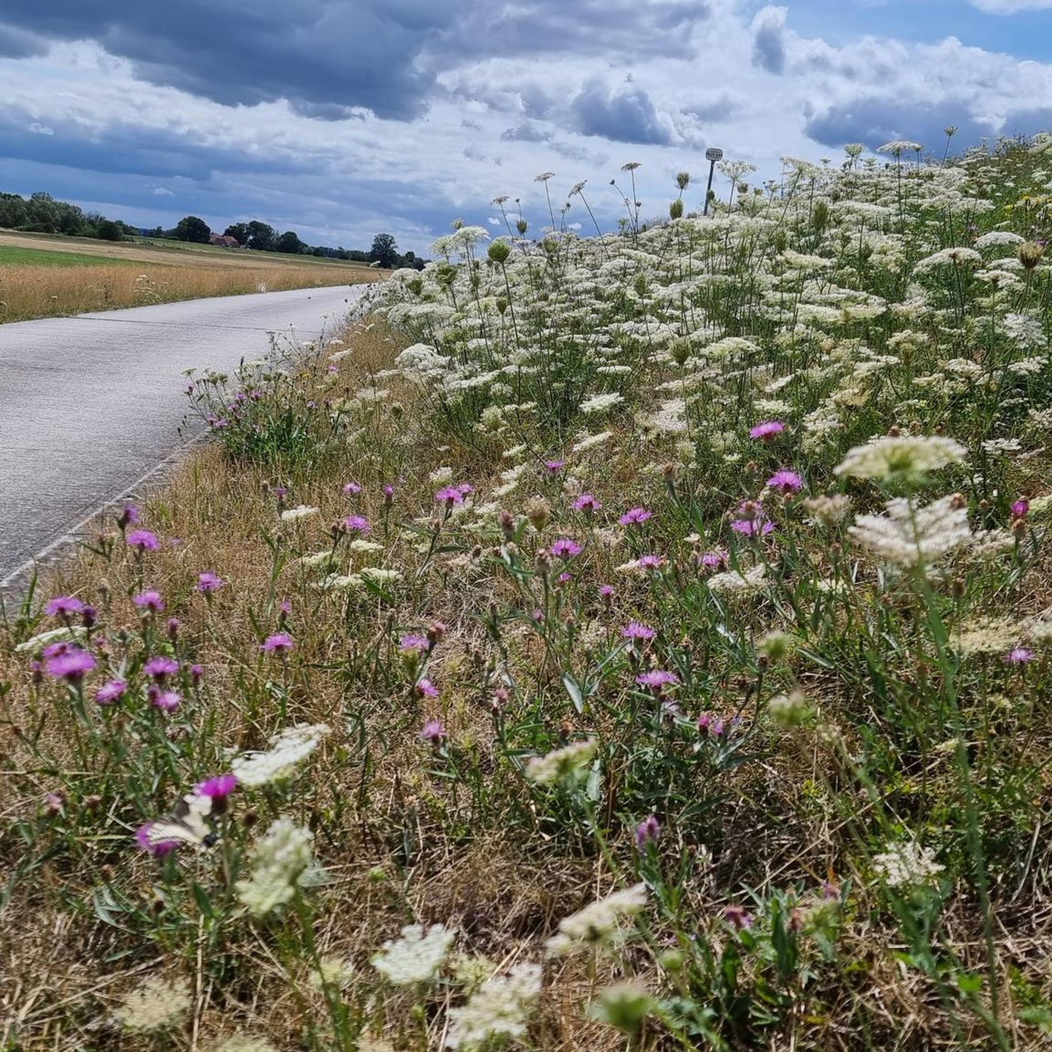
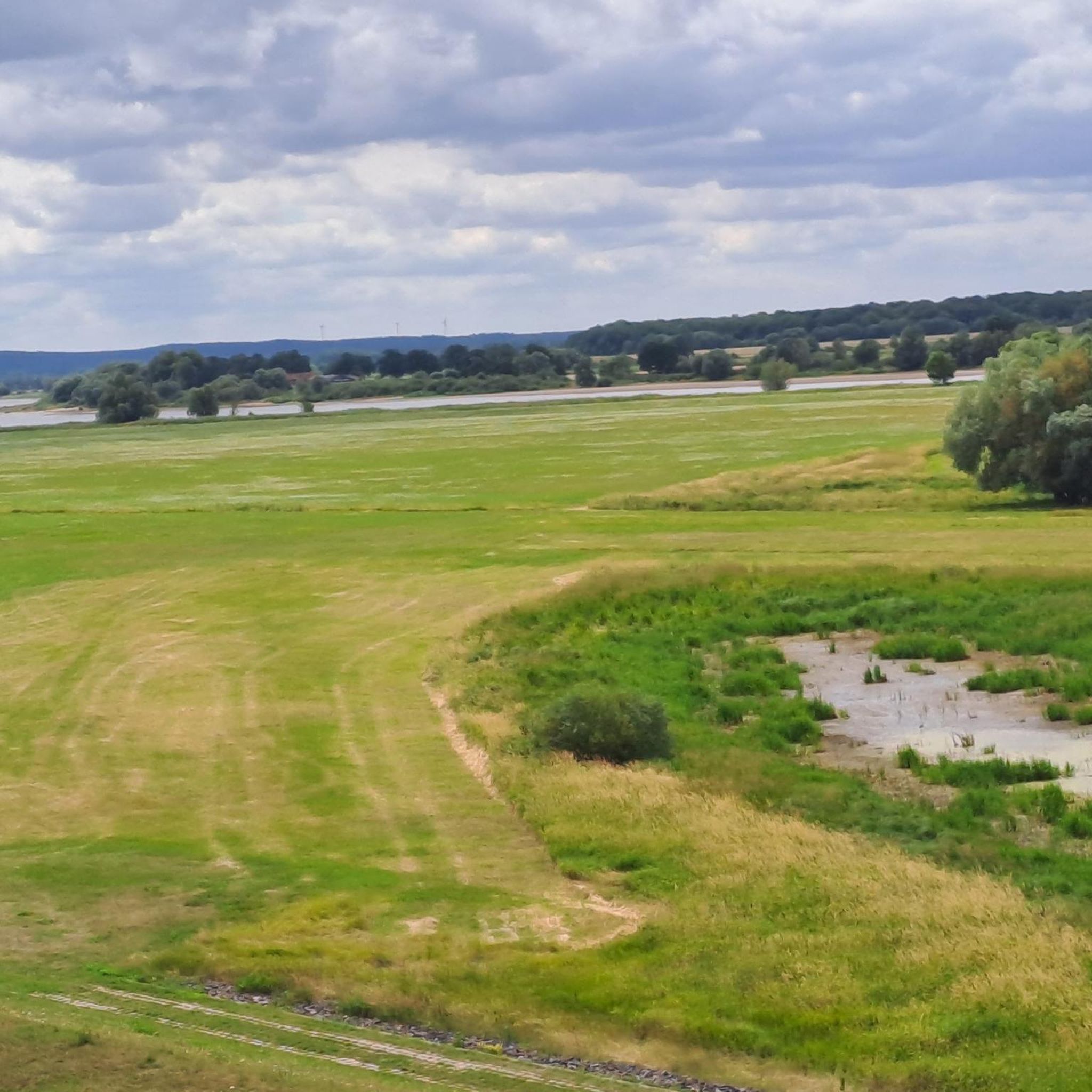
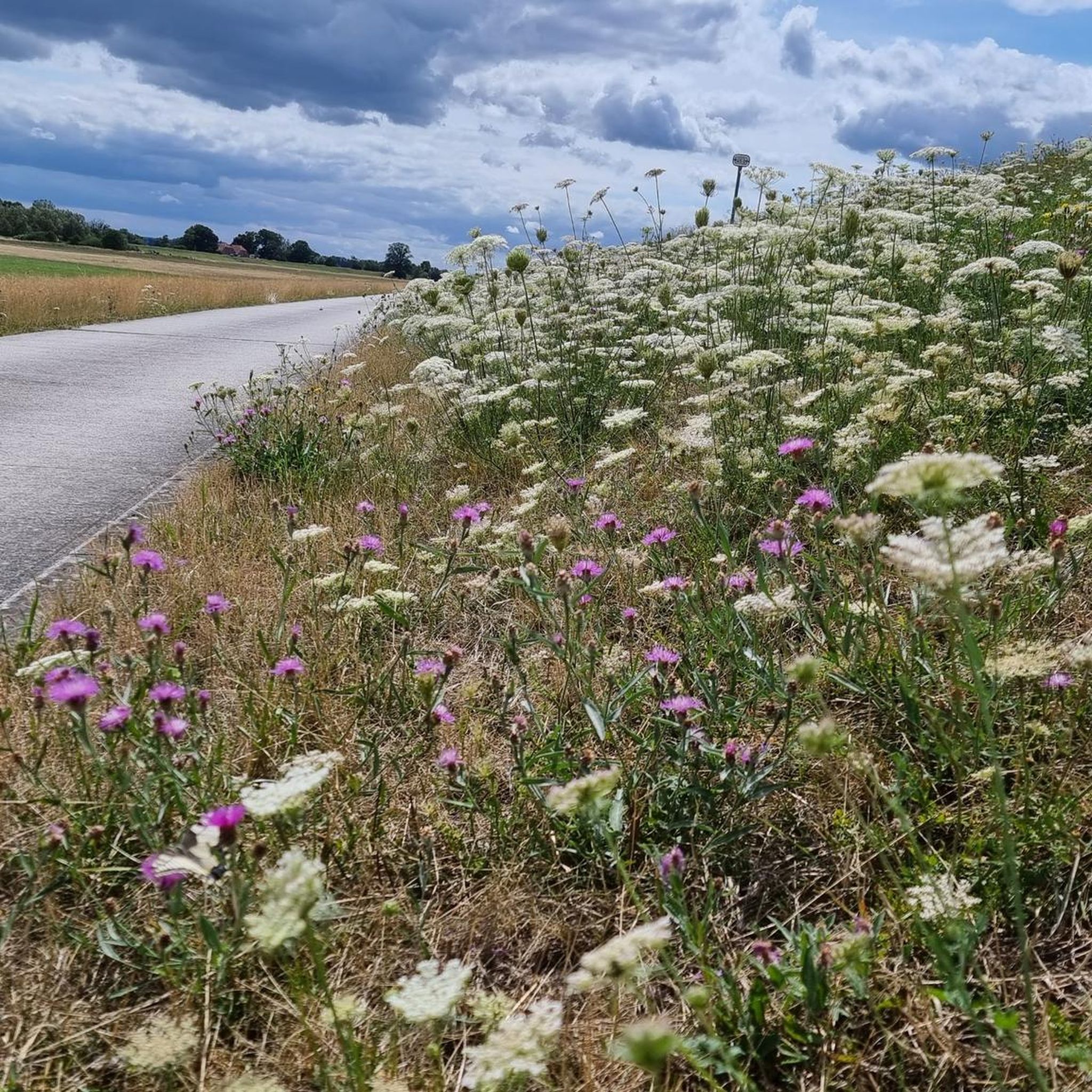
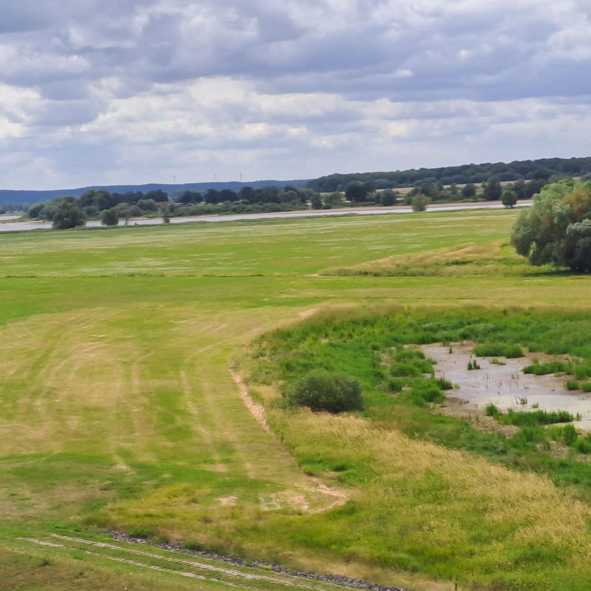
Road cycling in Elbvorland Unterhalb Neu Bleckede is characterized by its expansive Elbe River Landscape, featuring gentle meanders, floodplains, and idyllic riverside forests. The region is integrated into the Elbe Cycle Route, offering predominantly asphalted or water-resistant surfaces suitable for various fitness levels. Cyclists will encounter green dikes and views of the river, passing by sandy beaches and small islands. The terrain generally presents gentle gradients, making it accessible for extended rides.
Best road cycling routes in Elbvorland Unterhalb Neu…
Last updated: July 12, 2026
4.9
(8)
71
riders
104km
04:45
320m
320m
Moderate road ride. Good fitness required. Some segments of this route may be unpaved and difficult to ride.
4.6
(5)
24
riders
Moderate road ride. Great for any fitness level. Some segments of this route may be unpaved and difficult to ride.

Sign up for free
23
riders
Moderate road ride. Great for any fitness level. Some segments of this route may be unpaved and difficult to ride.
5.0
(2)
18
riders
Moderate road ride. Great for any fitness level. Some segments of this route may be unpaved and difficult to ride.
5.0
(1)
10
riders
65.8km
03:00
460m
460m
Moderate road ride. Good fitness required. Some segments of this route may be unpaved and difficult to ride.
Get access to more routes and recommendations from other explorers.
Sign up for free
Already have an account?
Our route recommendations are based on thousands of hikes, rides, and runs completed by other people on komoot.
Start today with a free account
Your next adventure awaits.
Login or Signup
Popular around Elbvorland Unterhalb Neu Bleckede
Tips from the Community

As I said: Unfortunately boarded up and therefore unusable!
0
0
I enjoyed the peace and solitude of the area.
0
0
A short stop for reading. Then it continues.
0
0

Unfortunately it was closed and blocked off.
0
0

The former border watchtower south of Boizenburg was once part of the GDR border security regime and stood at a checkpoint/crossing on the Elbberg. It was part of the five-kilometer exclusion zone, through which residents were only allowed to enter with a pass; the tower served to observe and control passenger and freight traffic. Today, it is preserved and incorporated into the Elbberg Museum in Boizenburg as a memorial to the inner-German border.
0
0

In my opinion, in moderate traffic, the road is clearly the better alternative.
1
0

Simply beautiful! Wavy along the Elbe!
0
0

The town hall of Boizenburg was built in 1712. It is located in the town centre of Boizenburg/Elbe, directly on the market square in the immediate vicinity of the town church of St. Mary.
1
0
Frequently Asked Questions
How many road cycling routes are available in Elbvorland Unterhalb Neu Bleckede?
There are over 80 road cycling routes in Elbvorland Unterhalb Neu Bleckede. These include 30 easy routes and 53 moderate routes, offering options for various fitness levels and preferences.
Is Elbvorland Unterhalb Neu Bleckede suitable for family-friendly road cycling?
Yes, the region is very suitable for families. The routes, particularly those integrated with the Elbe Cycle Route, are known for their gentle gradients and predominantly asphalted or water-resistant surfaces. Many of the 30 easy routes are ideal for a relaxed family outing.
What kind of landscapes can I expect to see while road cycling in this region?
You'll experience the expansive Elbe River Landscape, characterized by gentle meanders, floodplains, and idyllic riverside forests. The area is part of the UNESCO Elbe Riverside Biosphere Reserve, offering pristine wetlands, white sandy beaches, and green dikes where sheep graze. Routes often provide continuous views of the Elbe River, passing by small islands and vast sandbanks.
Are there any notable landmarks or attractions along the road cycling routes?
Absolutely. You can encounter several interesting points. For example, the Elbe Ferry Bleckede–Neu Bleckede is a common feature on many routes. Other highlights include the Mahnkenwerder Observation Tower and the Observation Tower Scharzau und Holzweide, offering panoramic views. The historic downtown of Bleckede with its charming half-timbered houses is also nearby.
What do other road cyclists enjoy most about cycling in Elbvorland Unterhalb Neu Bleckede?
The area is highly rated by the komoot community, with an average score of 4.6 stars from over 99 reviews. Cyclists frequently praise the extensive views along the Elbe River, the well-maintained paths, and the peaceful, natural environment. Routes like Kniepenberg Observation Tower – Bleckede Elbe Ferry loop from Bleckeder Hafen are popular for their scenic beauty and moderate challenge.
Are there any circular road cycling routes in the area?
Yes, many routes in Elbvorland Unterhalb Neu Bleckede are designed as loops, making them convenient for starting and ending at the same point. A popular moderate loop is the Bleckede Elbe Ferry – Elbe Ferry Bleckede–Neu Bleckede loop from Bleckeder Hafen, which offers continuous river views over 33.5 km.
What is the best time of year for road cycling in Elbvorland Unterhalb Neu Bleckede?
The region is enjoyable for road cycling from spring through autumn. The mild weather and lush landscapes make these seasons ideal. Cycling upstream along the Elbe is often recommended due to frequent west winds, providing a more comfortable experience.
Can I find routes that offer a mix of nature and cultural sights?
Yes, many routes combine natural beauty with cultural points of interest. For instance, you can cycle through the Elbe River Landscape and also pass by the historic downtown of Bleckede or remnants of the former inner-German border. The Bleckede Elbe Ferry – Boizenburg Town Hall loop from Bleckeder Hafen is a good example, leading through the river landscape towards a historic town.
Are there any longer road cycling routes for more experienced riders?
While the region is known for its gentle gradients, there are longer routes for those seeking more distance. The Kniepenberg Observation Tower – Bleckede Elbe Ferry loop from Bleckeder Hafen is a moderate 104.4 km route that takes around 4 hours 45 minutes to complete, offering extensive views and a good challenge.
Where can I find information about public transport or parking near the cycling routes?
While specific parking and public transport details for individual trailheads are best checked locally, the region is generally accessible. Bleckede itself serves as a good starting point, often offering parking facilities. For broader regional travel information, you might find resources on local tourism sites like bleckede-tourismus.de.
What kind of wildlife might I encounter along the Elbe River Landscape?
The UNESCO Elbe Riverside Biosphere Reserve is a sanctuary for diverse wildlife. Cyclists might spot white-tailed eagles, red kites, storks, beavers, and various migratory birds, especially in the pristine wetlands and riverside forests.
Are there any routes that offer more elevation gain for a greater challenge?
While the region is generally flat, some routes do offer more varied terrain. The Viehler Höhe – Elbuferstraße Climbs loop from Bleckede, for example, covers 65.8 km with an elevation gain of approximately 460 meters, providing a more dynamic ride compared to the flatter riverside paths.
Most popular routes in Elbvorland Unterhalb Neu Bleckede
Most popular attractions in Elbvorland Unterhalb Neu Bleckede

Get inspired with the komoot mobile app


Explore more
Browse the best Road cycling routes in other regions.
