The best MTB trails in Naturpark Elbhöhen-Wendland
4.4
(166)
318
riders
82
rides
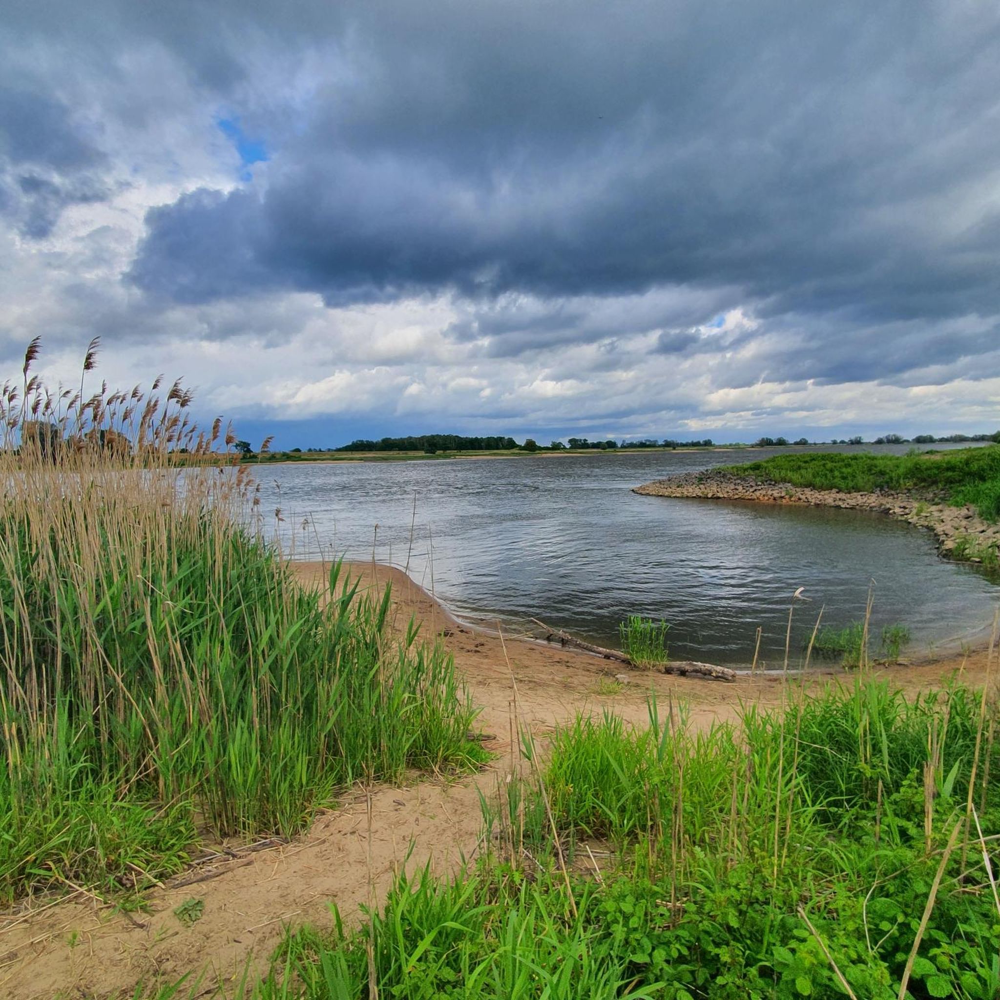
Mountain bike trails in Naturpark Elbhöhen-Wendland traverse a diverse landscape shaped by the Ice Age, offering varied terrain for riders. The region features the Elbe heights, the hilly Drawehn region, and the extensive Göhrde state forest. Riders can explore captivating meadows along the Elbe River, as well as distinct heathlands and numerous streams. This varied topography provides a natural environment for mountain biking.
Best mountain bike trails in Naturpark Elbhöhen-Wendland
- The most popular mountain bike trail is Bench with a…
Last updated: July 11, 2026
4.6
(14)
61
riders
Moderate mountain bike ride. Good fitness required. Suitable for all skill levels.
4.5
(20)
67
riders
59.9km
03:14
120m
120m
Moderate mountain bike ride. Good fitness required. Suitable for all skill levels.

Sign up for free
5.0
(5)
15
riders
39.5km
02:53
300m
300m
Moderate mountain bike ride. Good fitness required. Advanced riding skills necessary.
5.0
(5)
8
riders
34.9km
02:42
370m
370m
Moderate mountain bike ride. Good fitness required. Advanced riding skills necessary.
4.3
(3)
8
riders
50.5km
03:43
460m
460m
Moderate mountain bike ride. Good fitness required. Advanced riding skills necessary.
Get access to more routes and recommendations from other explorers.
Sign up for free
Already have an account?
Our route recommendations are based on thousands of hikes, rides, and runs completed by other people on komoot.
Start today with a free account
Your next adventure awaits.
Login or Signup
Popular around Naturpark Elbhöhen-Wendland
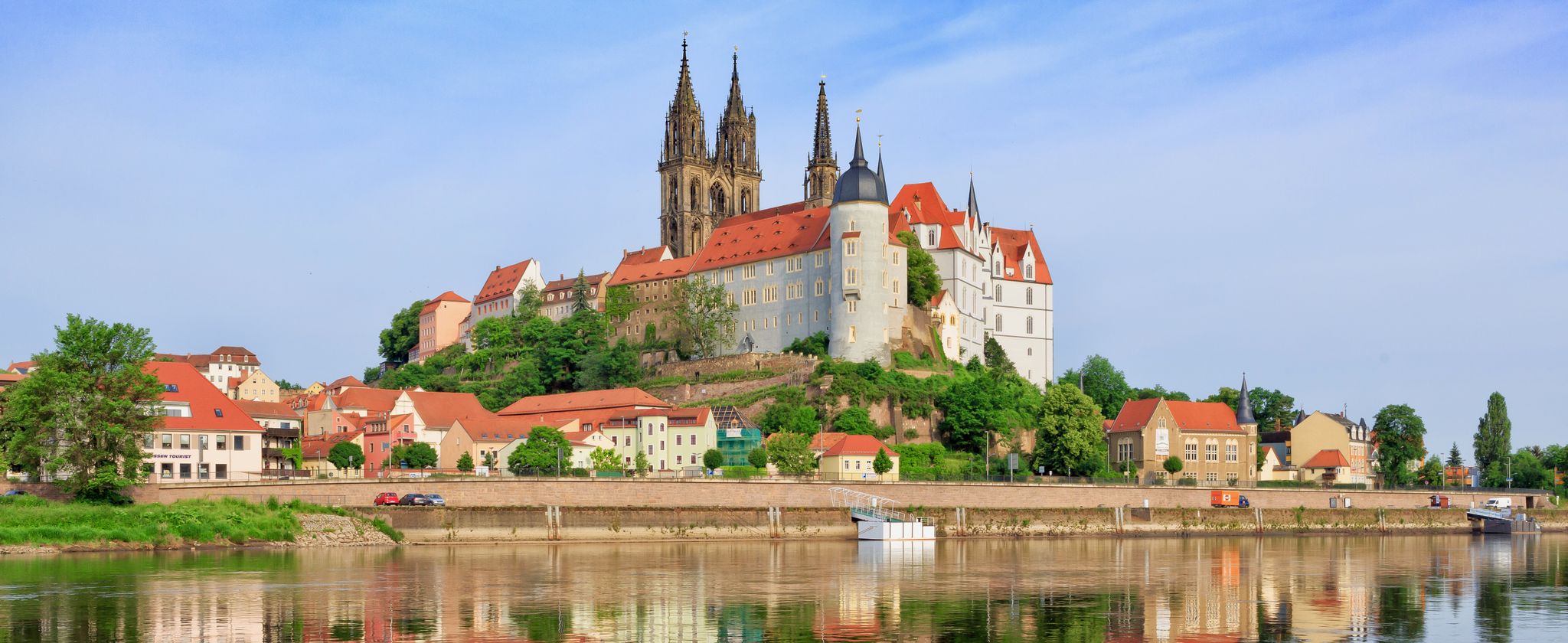
The Elbe Cycle Path — cross-border cycling pleasure
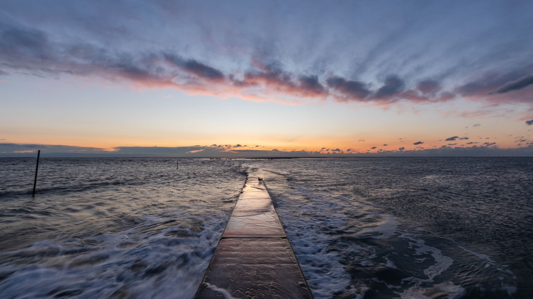
The National Natural Landscapes in Niedersachsen

#GoFurther – discover the views of Germany!
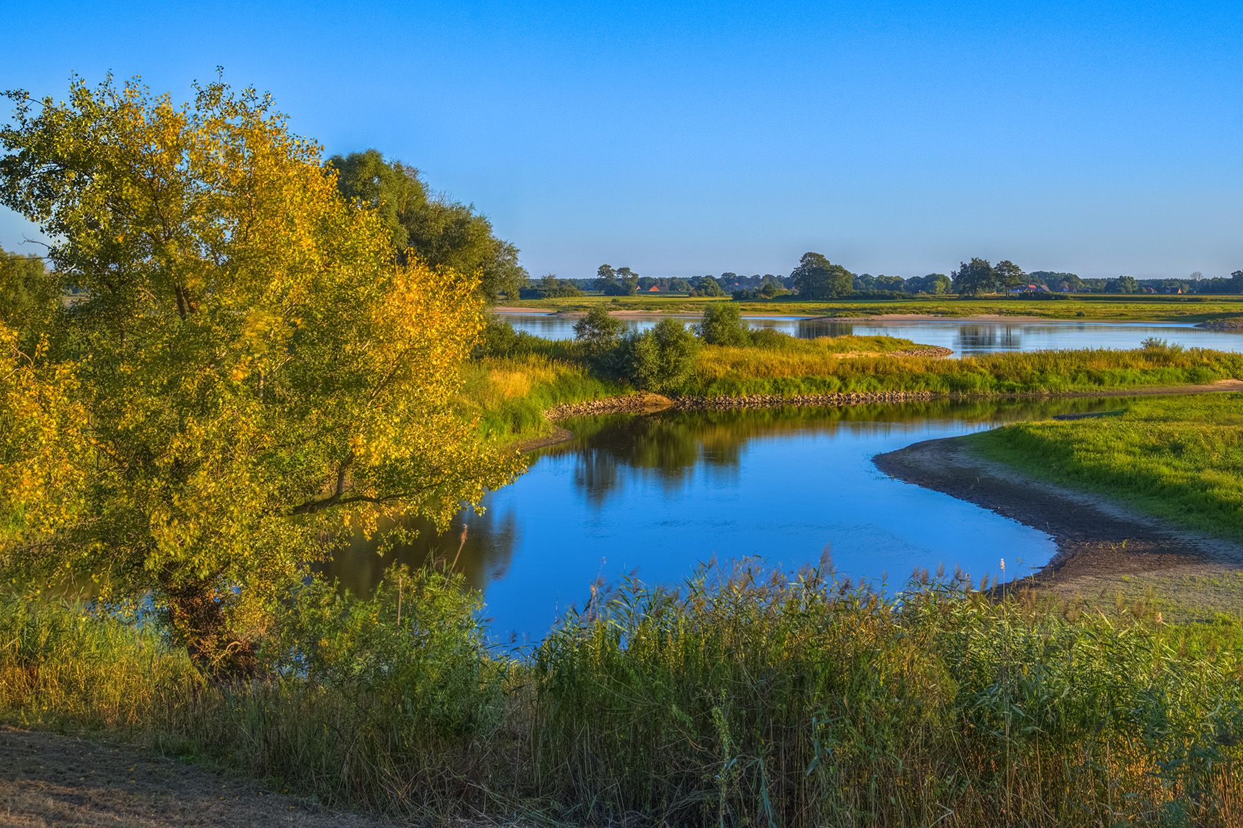
Four-country border cycle path: trace hunting at the Green belt
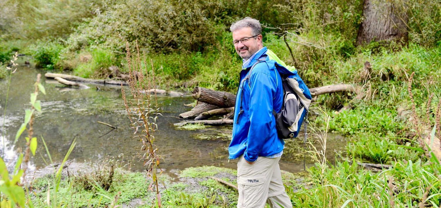
NATOUR-GUIDE — experience living rivers
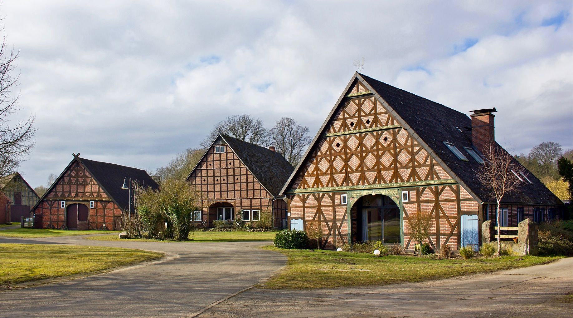
The round villages of the Wendland
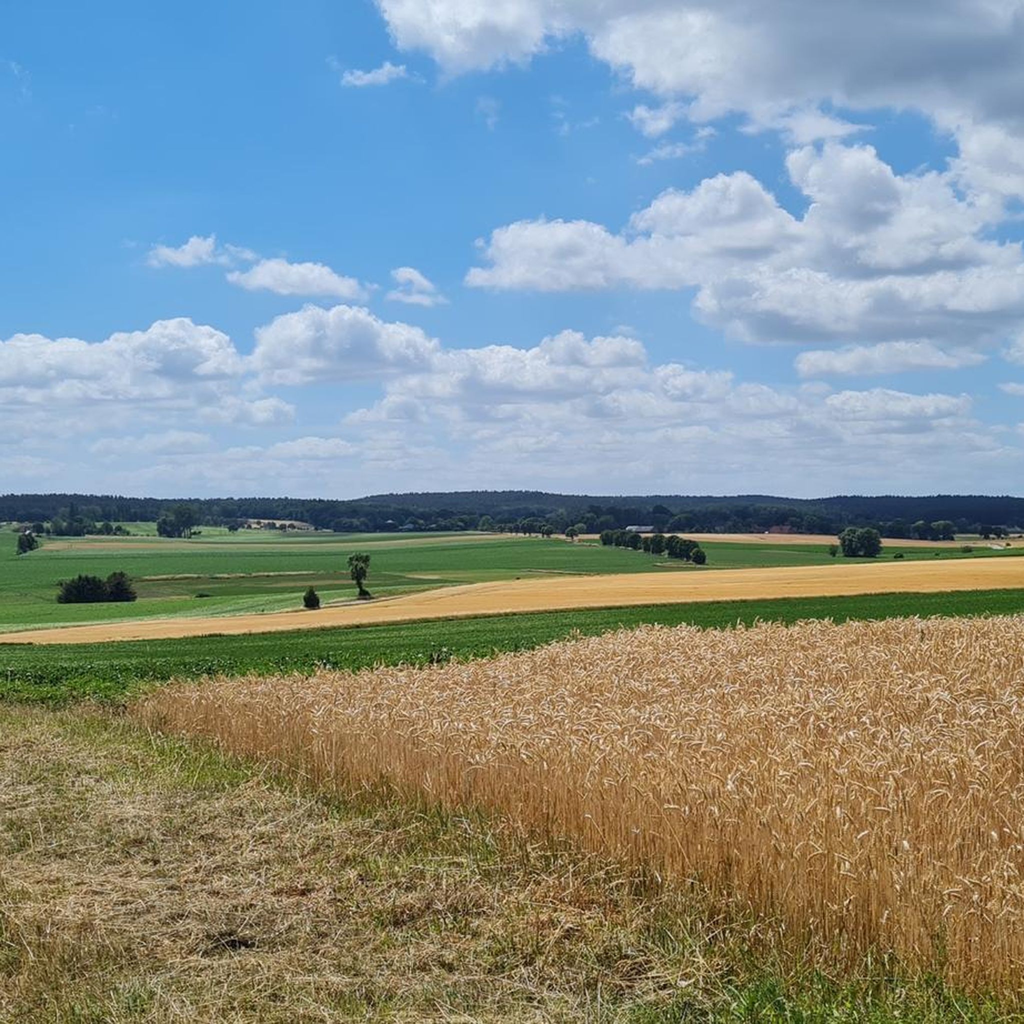
Cycling in Naturpark Elbhöhen-Wendland
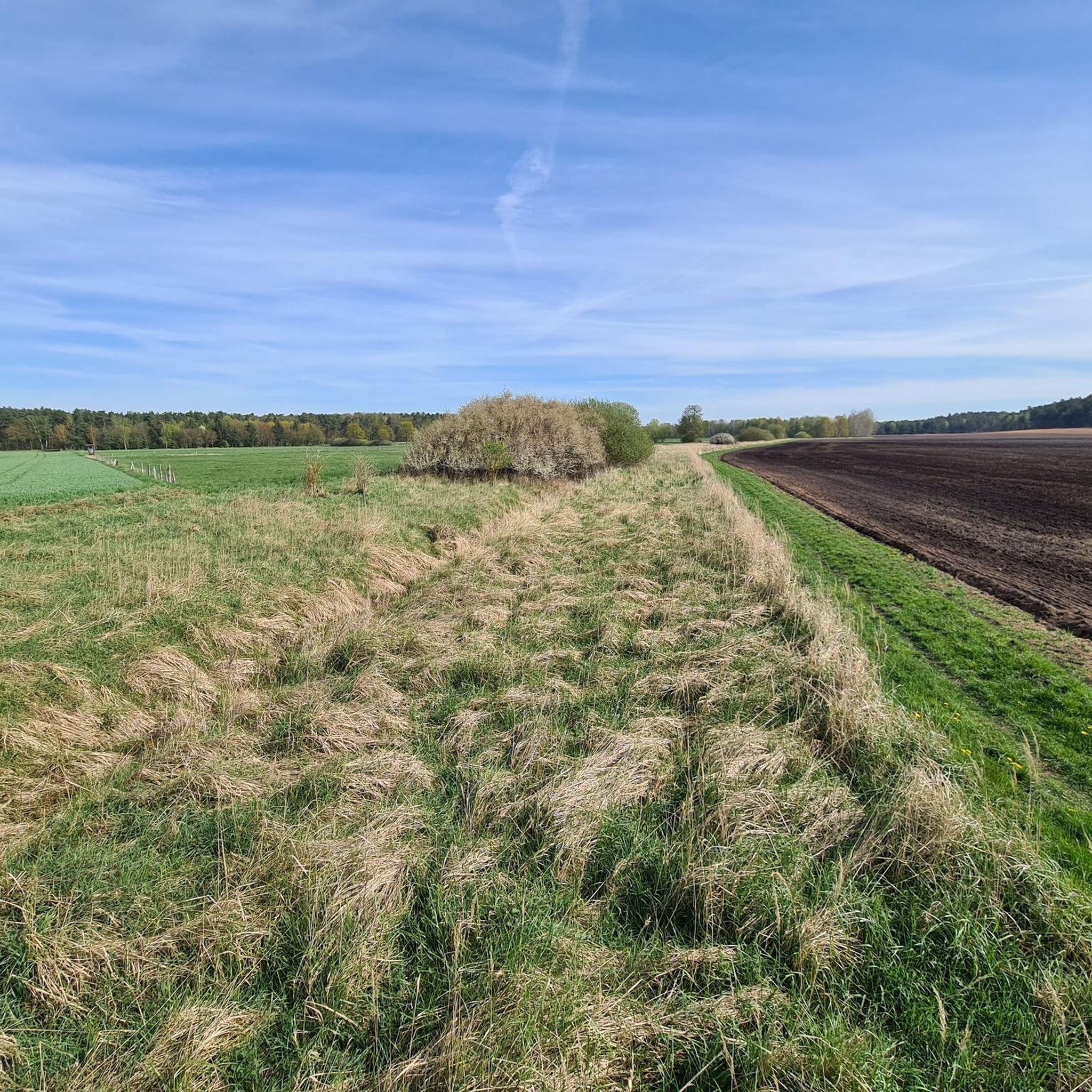
Hiking in Naturpark Elbhöhen-Wendland
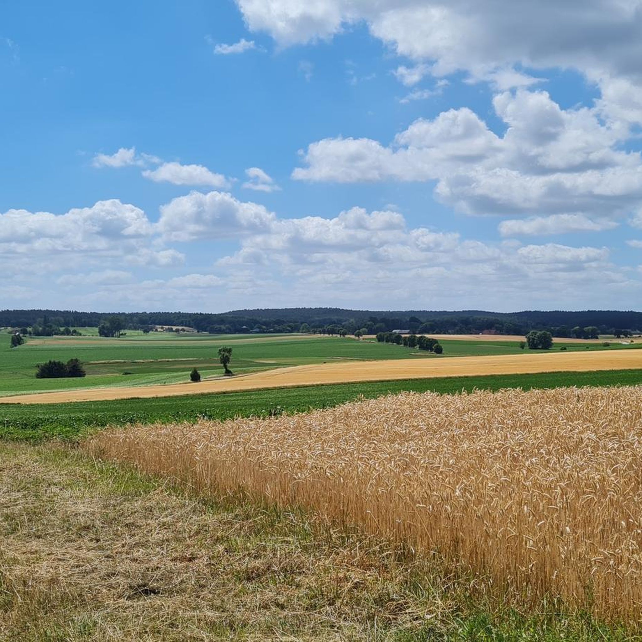
Road Cycling Routes in Naturpark Elbhöhen-Wendland
Running Trails in Naturpark Elbhöhen-Wendland
Other adventures in Naturpark Elbhöhen-Wendland


Tips from the Community

Beautiful old town with many winding alleys and half-timbered houses. In addition, the great natural area Elde all around.
0
0

The 4th stage of the Elbhöhenweg also runs through here, which I can highly recommend. All information about the Elbhöhenweg can be found at the following link: https://www.wanderbares-deutschland.de/wege/alle-wege/elb-hoehenweg-etappe-4-von-hitzacker-bis-neu-darchau-e82d5a097d (Status: 02.05.2026).
0
0
The 4th stage of the Elbhöhenweg also leads here, which I can highly recommend. All information about the Elbhöhenweg can be found at the following link: https://www.wanderbares-deutschland.de/wege/alle-wege/elb-hoehenweg-etappe-4-von-hitzacker-bis-neu-darchau-e82d5a097d (Status: 02.05.2026).
0
0
The 4th stage of the Elbhöhenweg also leads here, which I can highly recommend. All information about the Elbhöhenweg can be found at the following link: https://www.wanderbares-deutschland.de/wege/alle-wege/elb-hoehenweg-etappe-4-von-hitzacker-bis-neu-darchau-e82d5a097d (Status: 02.05.2026).
0
0
The 4th stage of the Elbhöhenweg also leads here, which I can highly recommend. All information about the Elbhöhenweg can be found at the following link: https://www.wanderbares-deutschland.de/wege/alle-wege/elb-hoehenweg-etappe-4-von-hitzacker-bis-neu-darchau-e82d5a097d (as of: 02.05.2026).
0
0

If you cross the old Jeetzel River, you'll get to the other side. It's okay to walk, but I'd prefer to drive a bit further, where you can easily cross over a road bridge.
5
0
There's a shelter in case it rains, or you can simply take a break there. Tables and benches are available.
4
0
Over the bridge you can shorten the way to the other bank of the Jeetzel
5
0
Frequently Asked Questions
What kind of terrain can I expect on mountain bike trails in Naturpark Elbhöhen-Wendland?
The Naturpark Elbhöhen-Wendland offers a diverse landscape shaped by the Ice Age. You'll find captivating meadows along the Elbe River, hilly sections in the Drawehn region, and extensive wooded trails in the Göhrde state forest. There are also distinct heathlands with sandy terrain, providing a varied riding experience.
Are there mountain bike trails suitable for beginners or those looking for an easier ride?
Yes, the region caters to a wide range of cyclists. While many routes are moderate, the diverse landscape includes flatter sections, especially along the Elbe River, which are suitable for more relaxed cycling. Out of 86 available tours, 18 are rated as easy, offering gentle introductions to the park's beauty.
What is the typical elevation gain on mountain bike routes in Naturpark Elbhöhen-Wendland?
Elevation gain varies across the park. While the Elbe River landscape offers relatively flat sections, the Drawehn Hills provide more challenging terrain with noticeable elevation changes. For example, the Bench with a View of the Elbe – Elbe Sandbank Viewpoint loop from Zernien features an elevation gain of approximately 458 meters over its 50.5 km distance.
Are there any family-friendly mountain bike trails in the Naturpark Elbhöhen-Wendland?
The Naturpark Elbhöhen-Wendland is known for catering to various cycling levels, including families. While specific 'family-friendly' designations aren't always present, the extensive network of cycling paths and the flatter routes along the Elbe River are generally suitable for family outings. Look for routes rated as 'easy' for the most comfortable experience.
Can I bring my dog on the mountain bike trails in Naturpark Elbhöhen-Wendland?
Many trails in Naturpark Elbhöhen-Wendland are suitable for cycling with dogs, especially those that follow forest paths or less frequented routes. However, always ensure your dog is under control, respect local wildlife, and check for any specific restrictions in nature reserve areas. It's advisable to keep dogs on a leash, particularly in areas with livestock or during bird breeding seasons.
What are some interesting landmarks or natural features I can see along the mountain bike trails?
The park offers a rich blend of natural and cultural sights. You might encounter unique cultural landscapes like the well-preserved 'Rundling' villages. Natural features include the Nemitzer Heath, the Clenzer Schweiz Erratic Boulder Park, and the Wirler Spitze and Klocksberg Dune. For panoramic views, consider visiting the Hoher Mechtin Observation Tower.
What is the best time of year for mountain biking in Naturpark Elbhöhen-Wendland?
The Naturpark Elbhöhen-Wendland is appealing throughout much of the year. Spring and autumn offer pleasant temperatures and beautiful scenery, with vibrant foliage or blooming heathlands. Summer is also popular, though some trails might be busier. Winter riding is possible, but trail conditions can be muddy or icy, especially in wooded areas, so check local forecasts.
Are there circular mountain bike routes available?
Yes, many of the mountain bike routes in Naturpark Elbhöhen-Wendland are designed as loops, allowing you to start and end at the same point. Examples include the Bench with a View of the Elbe – Hitzacker Old Town loop from Elbwerder vor Neu Garge and the Elbe River – View of Lauenburg Old Town loop from Barskamp.
Where can I find parking for mountain biking in Naturpark Elbhöhen-Wendland?
Parking is generally available in or near the starting points of many trails, especially in towns and villages within the Naturpark. Specific parking information is often provided on individual route pages on komoot. Look for designated parking areas near trailheads or in local communities like Hitzacker, Neu Darchau, or Barskamp.
How can I reach Naturpark Elbhöhen-Wendland by public transport with my bike?
The Naturpark Elbhöhen-Wendland is accessible by regional trains and buses, though options for bike transport can vary. It's recommended to check the specific public transport provider's website for their bike carriage policies, especially for trains, as reservations or special tickets may be required. Some regional buses might have limited space for bikes.
What do other mountain bikers enjoy most about mountain biking in Naturpark Elbhöhen-Wendland?
The area is highly rated by the komoot community, with an average score of 4.4 stars from over 150 reviews. Reviewers often praise the diverse landscapes, from the tranquil Elbe meadows to the challenging Drawehn hills, and the opportunity to experience nature up close. The extensive network of trails and the peaceful, sparsely populated environment are frequently highlighted.
Are there any specific permits required for mountain biking in the Naturpark Elbhöhen-Wendland?
Generally, no specific permits are required for mountain biking on public trails within Naturpark Elbhöhen-Wendland. However, riders are encouraged to respect nature conservation guidelines, stay on marked paths where applicable, and be mindful of wildlife, especially in sensitive areas like the UNESCO Biosphere Reserve 'Flusslandschaft Elbe'.
Most popular routes in Naturpark Elbhöhen-Wendland
Most popular attractions in Naturpark Elbhöhen-Wendland

Get inspired with the komoot mobile app


Explore more
Browse the best MTB trails in other regions.
