The best MTB trails around Hofkirchen im Mühlkreis
4.5
(448)
2,428
riders
17
rides
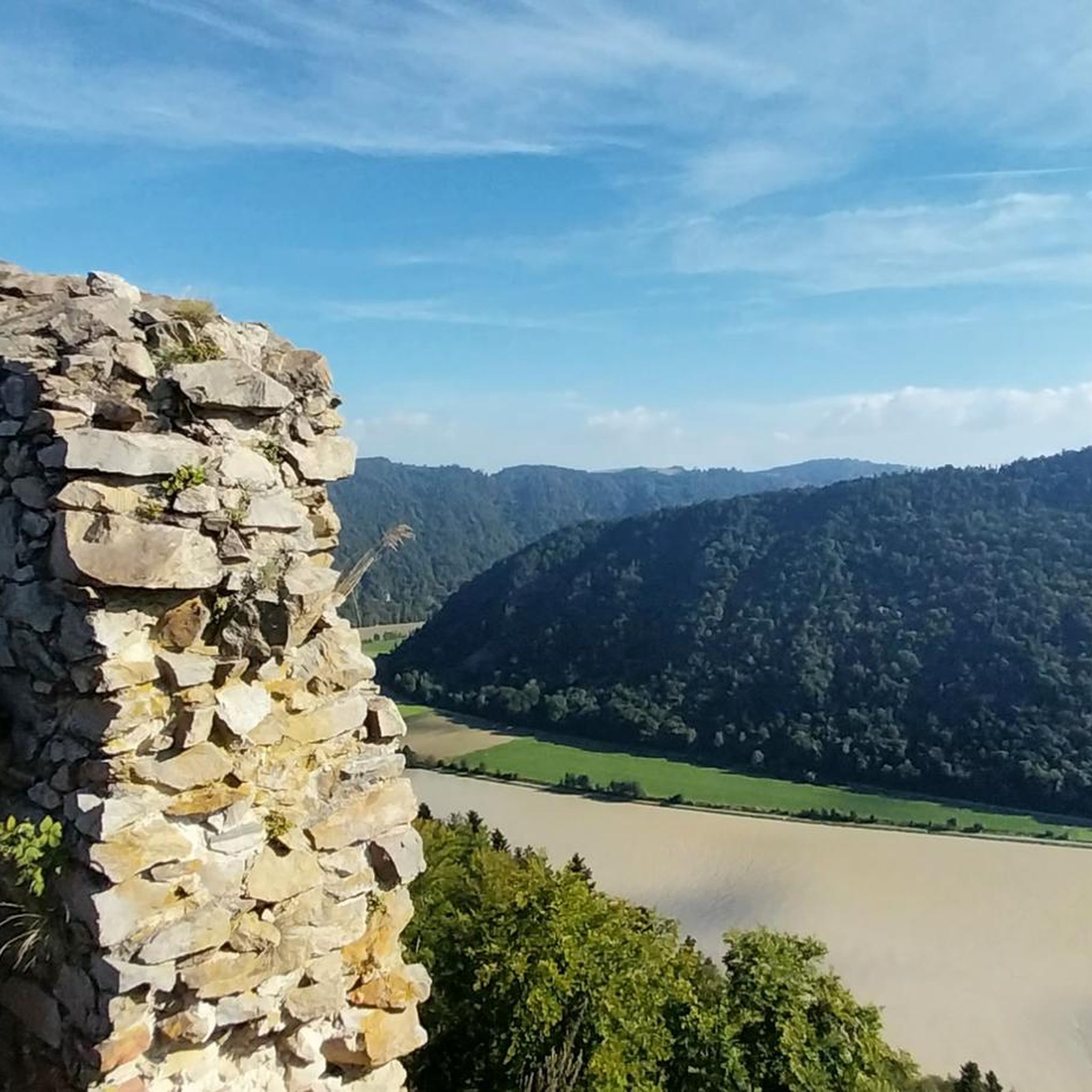
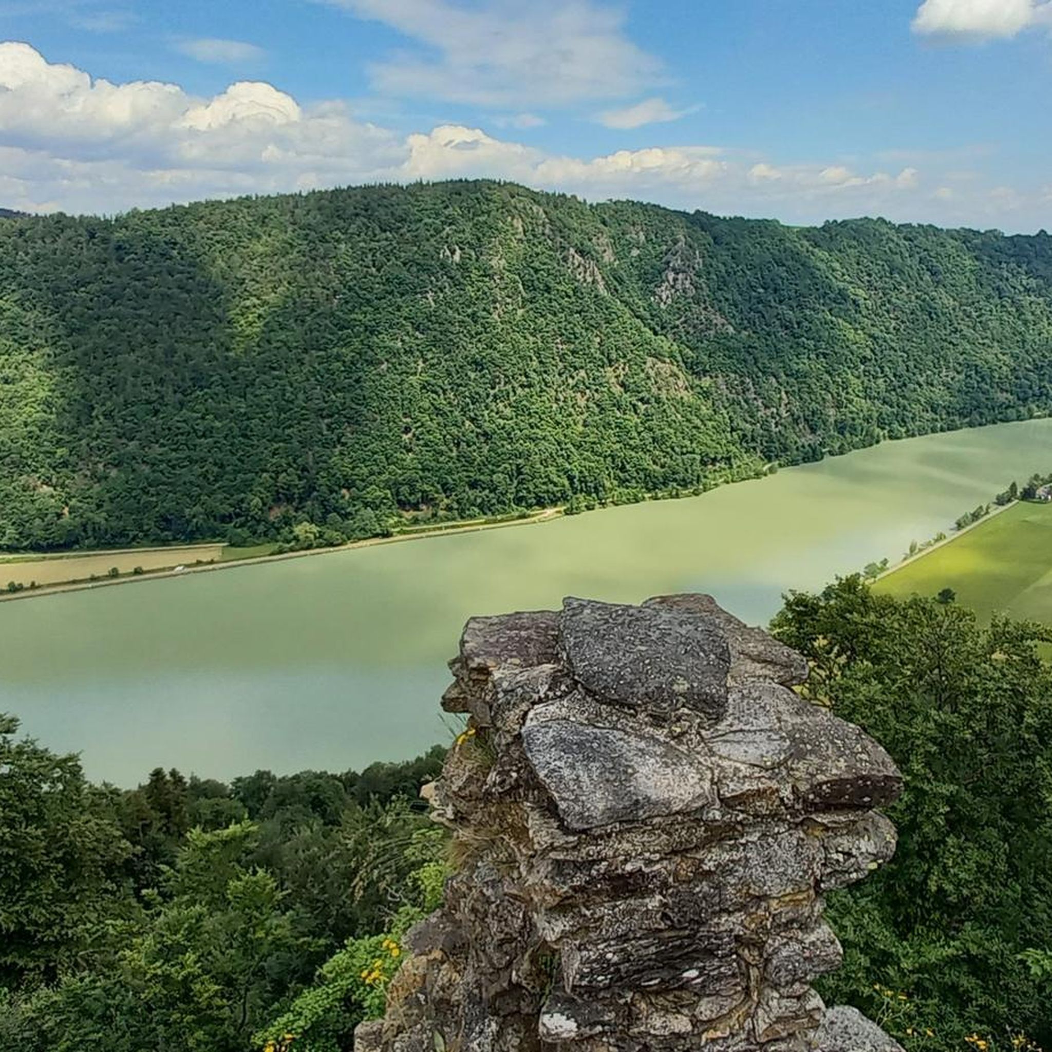
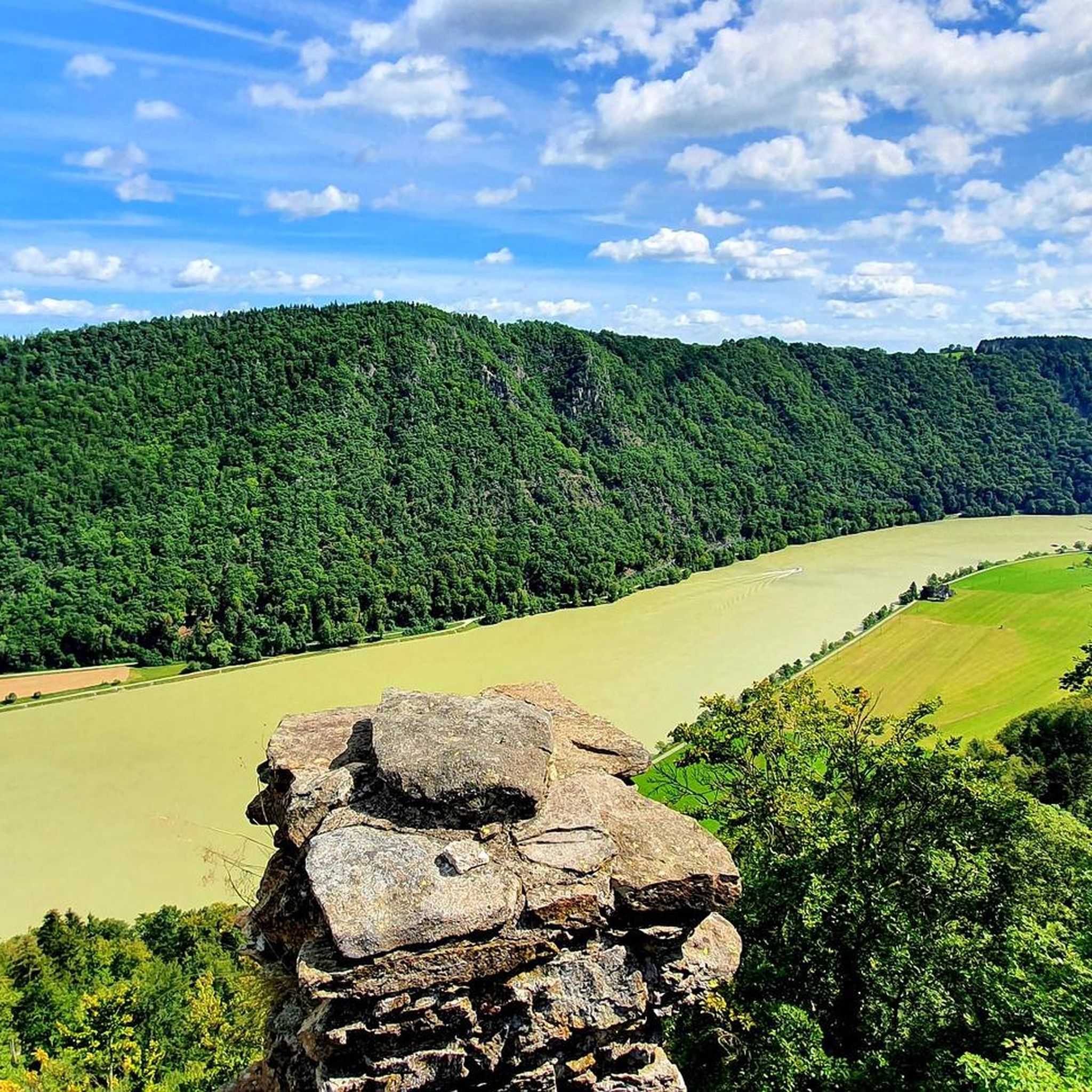
Mountain biking around Hofkirchen im Mühlkreis offers diverse landscapes shaped by agricultural and forestry use. The region features a lively relief with elevations ranging from 280 to 810 meters, providing varied terrain for mountain bike trails. The dramatic meander of the Danube River, known as the Schlögener Schlinge, is a significant natural feature, alongside the rolling hills of the Mühlviertel. This area provides a dynamic backdrop for active pursuits, with numerous forest paths and country lanes.
Best mountain bike trails…
Last updated: July 11, 2026
5.0
(3)
32
riders
Easy mountain bike ride. Great for any fitness level. Suitable for all skill levels.
4.7
(3)
21
riders
21.5km
01:09
150m
150m
Easy mountain bike ride. Great for any fitness level. Suitable for all skill levels.

Sign up for free
4.9
(7)
12
riders
Moderate mountain bike ride. Good fitness required. Advanced riding skills necessary.
4.8
(8)
12
riders
49.4km
03:23
810m
810m
Moderate mountain bike ride. Good fitness required. Advanced riding skills necessary.
3.5
(2)
18
riders
30.8km
02:46
760m
760m
Moderate mountain bike ride. Good fitness required. Advanced riding skills necessary.
Get access to more routes and recommendations from other explorers.
Sign up for free
Already have an account?
Our route recommendations are based on thousands of hikes, rides, and runs completed by other people on komoot.
Start today with a free account
Your next adventure awaits.
Login or Signup
Popular around Hofkirchen im Mühlkreis

Ruperti Trail – Hike from Austria's Bohemian Forest to the Carnic Alps

Danube Trail – Legendary long-distance hiking along the Danube River

Simply amazing – 13 hikes along the Donausteig
Cycling around Hofkirchen im Mühlkreis
Hiking around Hofkirchen im Mühlkreis
Road Cycling Routes around Hofkirchen im Mühlkreis
Running Trails around Hofkirchen im Mühlkreis

Mountain Hikes around Hofkirchen im Mühlkreis

Gravel biking around Hofkirchen im Mühlkreis
Other adventures around Hofkirchen im Mühlkreis


Tips from the Community

An ideal route along the Danube, also for runners.
0
0

Panoramic viewpoint in Pfarrkirchen im Mühlkreis.
0
0
The ferry ride costs 3 euros.
5
0
The trip costs 3 euros per person (including bicycle)
4
0
Just ring the bell and the ferry will set off.
4
0

A little further on, there's a difficult to very difficult to find and walkable trail. This section of the walk is absolutely not recommended for the elderly or those who are less active!
1
0

From the path you have a very beautiful panorama
0
0
Frequently Asked Questions
What kind of terrain can I expect on mountain bike trails in Hofkirchen im Mühlkreis?
The region offers a diverse landscape with elevations ranging from 280 to 810 meters. You'll encounter a lively relief shaped by agricultural and forestry use, featuring forest paths, country lanes, and rolling hills characteristic of the Mühlviertel. The dramatic Danube River meander, known as the Schlögener Schlinge, also influences the terrain, providing scenic views and varied riding conditions.
How many mountain bike trails are available in Hofkirchen im Mühlkreis?
There are over 15 mountain bike trails in Hofkirchen im Mühlkreis, catering to various skill levels. This includes 1 easy route, 13 moderate routes, and 2 difficult routes, ensuring options for both beginners and experienced riders.
Are there any easy mountain bike trails suitable for beginners or families?
Yes, there is an easy mountain bike trail perfect for those with basic technical knowledge and all fitness levels. The Schlögen Marina – Schlögen Loop loop from Schlögener Schlinge is an easy 21.5 km route that offers beautiful views of the Danube meander.
What are some notable landmarks or viewpoints I can see along the mountain bike trails?
Many trails offer stunning views and pass by significant landmarks. You can experience the dramatic Schlögen Loop, visit historic Marsbach Castle, or climb to viewpoints like the Ameisberg Tower or Mayrhofberg Observation Tower for panoramic vistas of the Danube Valley and the Mühlviertel hills. The Jochenstein rock island is another natural monument worth seeing.
Are there any circular mountain bike routes in the area?
Yes, many of the mountain bike routes in Hofkirchen im Mühlkreis are circular. For example, the moderate Café Verlinguer – Lembacher Hof loop from Hofkirchen im Mühlkreis is a 25.9 km circular path exploring the hilly terrain. Another option is the Ameisberg Tower – View of Pfarrkirchen loop from Hofkirchen im Mühlkreis, a 30.7 km loop offering great views.
What do other mountain bikers enjoy the most about mountain biking in Hofkirchen im Mühlkreis?
The area is highly rated by the komoot community, with an average score of 4.5 stars from over 450 reviews. Mountain bikers often praise the diverse landscapes, the challenging climbs, and the magnificent views, especially those overlooking the Danube and the rolling hills of the Mühlviertel.
Are there any trails that pass by castles or historical sites?
Yes, you can find routes that lead past historical sites. The moderate Marsbach Castle – Au–Schlögen Bike Ferry loop from Niederranna is a 49.4 km trail that takes you through the Danube valley and past the historic Marsbach Castle.
Are there any trails that offer views of the Danube River?
Absolutely. The dramatic Schlögener Schlinge, a significant meander of the Danube River, is a central feature of the region. Routes like the easy Schlögen Marina – Schlögen Loop loop from Schlögener Schlinge offer direct views of this breathtaking natural wonder.
What is the typical elevation gain on mountain bike trails in this region?
The trails in Hofkirchen im Mühlkreis feature varied elevation gains due to the region's hilly terrain. For example, a moderate route like Café Verlinguer – Lembacher Hof loop from Hofkirchen im Mühlkreis involves an ascent of over 500 meters, while longer routes can have over 800 meters of elevation gain, providing challenging climbs.
Can I find trails that lead to summits or observation towers?
Yes, several trails lead to prominent summits and observation towers offering expansive views. The Ameisberg Tower – View of Pfarrkirchen loop from Hofkirchen im Mühlkreis is a great example, taking you to the Ameisberg Tower. Other notable summits include Haugstein Summit (895 m) and Eidenberger Lusen Summit.
What is the best time of year for mountain biking in Hofkirchen im Mühlkreis?
The region is generally suitable for mountain biking from spring through autumn. The diverse landscapes and extensive trail network provide enjoyable conditions during these seasons. Always check local weather conditions before heading out, as the varied terrain can be affected by rain.
Most popular routes around Hofkirchen im Mühlkreis
Most popular attractions around Hofkirchen im Mühlkreis

Get inspired with the komoot mobile app


Explore more
Browse the best MTB trails in other regions.
