The best mountain hikes in Feuchtgebiet Saerbeck
5.0
(3)
16
hikers
4
hikes
Mountaineering routes in Feuchtgebiet Saerbeck traverse a landscape characterized by varied terrain, including the Brochterbecker Osningvorland and the Dörenther Cliffs. The region features a mix of forested areas and open paths, with elevations that offer panoramic views. These routes provide opportunities to explore the natural features and geological formations of the area.
Best mountaineering routes in Feuchtgebiet Saerbeck
- The most popular mountaineering route is Mountaineering loop from Brochterbecker Osningvorland, a 8.1 miles (13.1 km) trail that takes 3 hours…
Last updated: July 6, 2026
6
hikers
8.32km
02:20
160m
160m
Moderate mountaineering route. Good fitness required. Easily-accessible paths. Suitable for all skill levels.
5.0
(1)
6
hikers
11.8km
03:20
240m
240m
Moderate mountaineering route. Good fitness required. Easily-accessible paths. Suitable for all skill levels.

Sign up for free
5.0
(1)
1
hikers
Moderate mountaineering route. Good fitness required. Easily-accessible paths. Suitable for all skill levels.
5.0
(1)
4
hikers
21.2km
05:57
400m
400m
Hard mountaineering route. Very good fitness required. Mostly accessible paths. Sure-footedness required.
Our route recommendations are based on thousands of hikes, rides, and runs completed by other people on komoot.
Start today with a free account
Your next adventure awaits.
Login or Signup
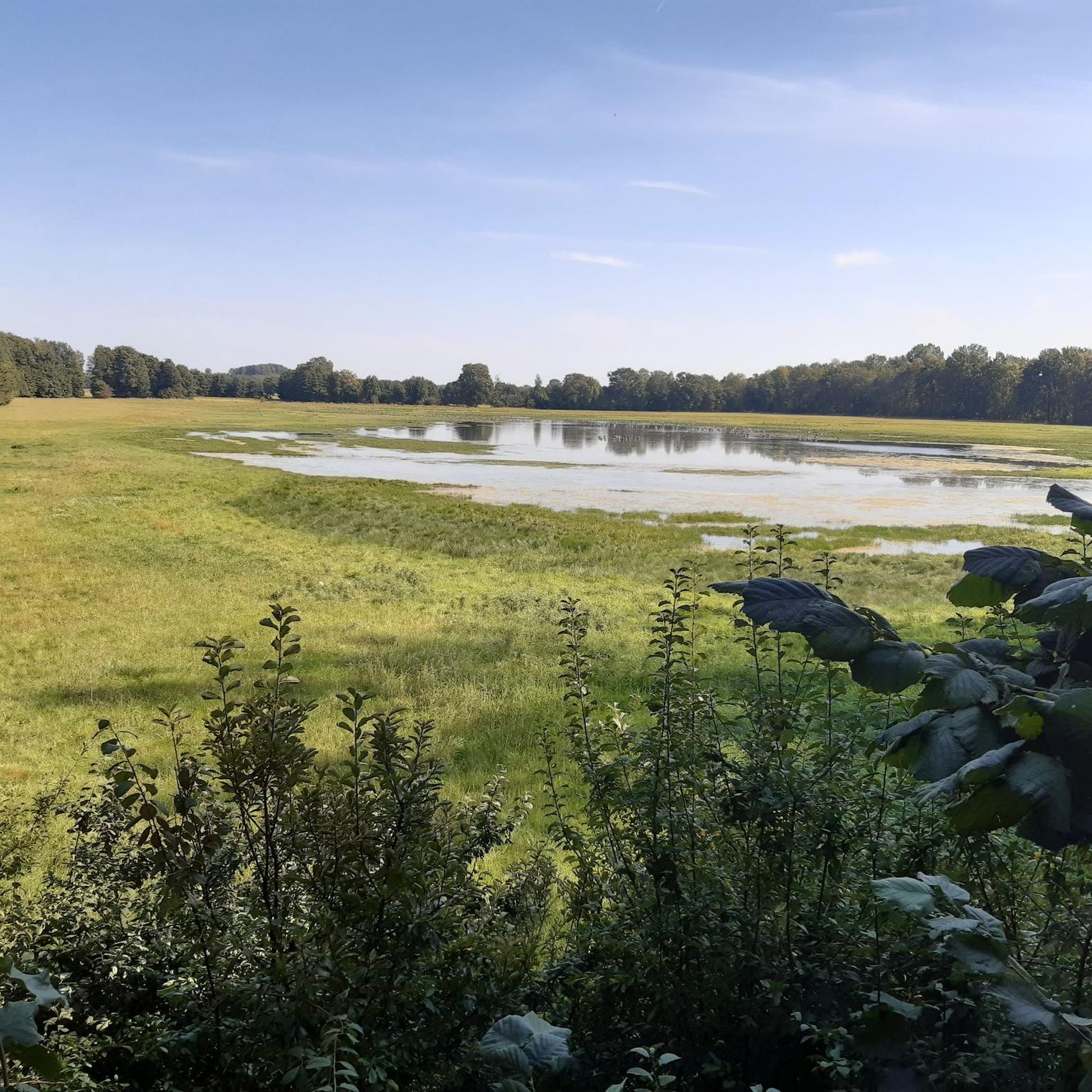
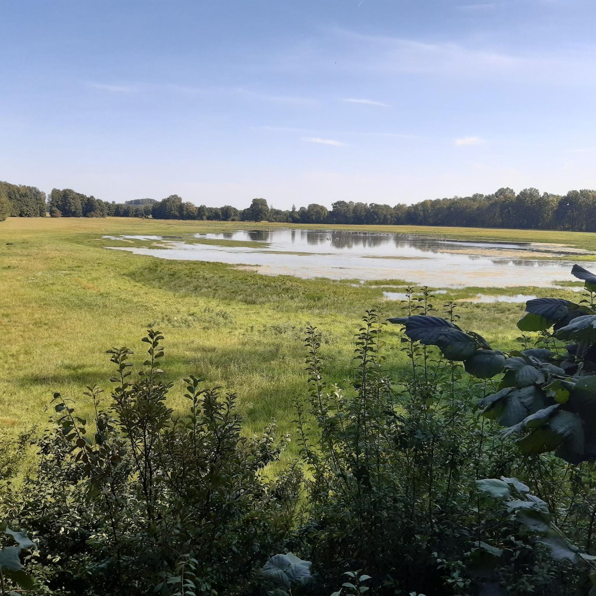
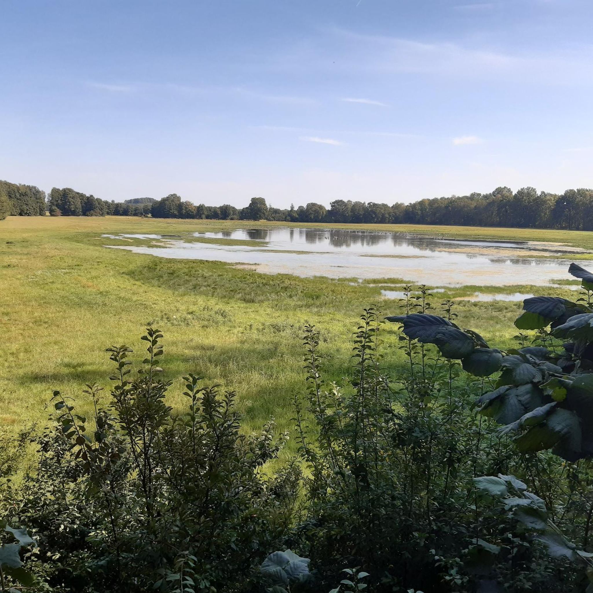
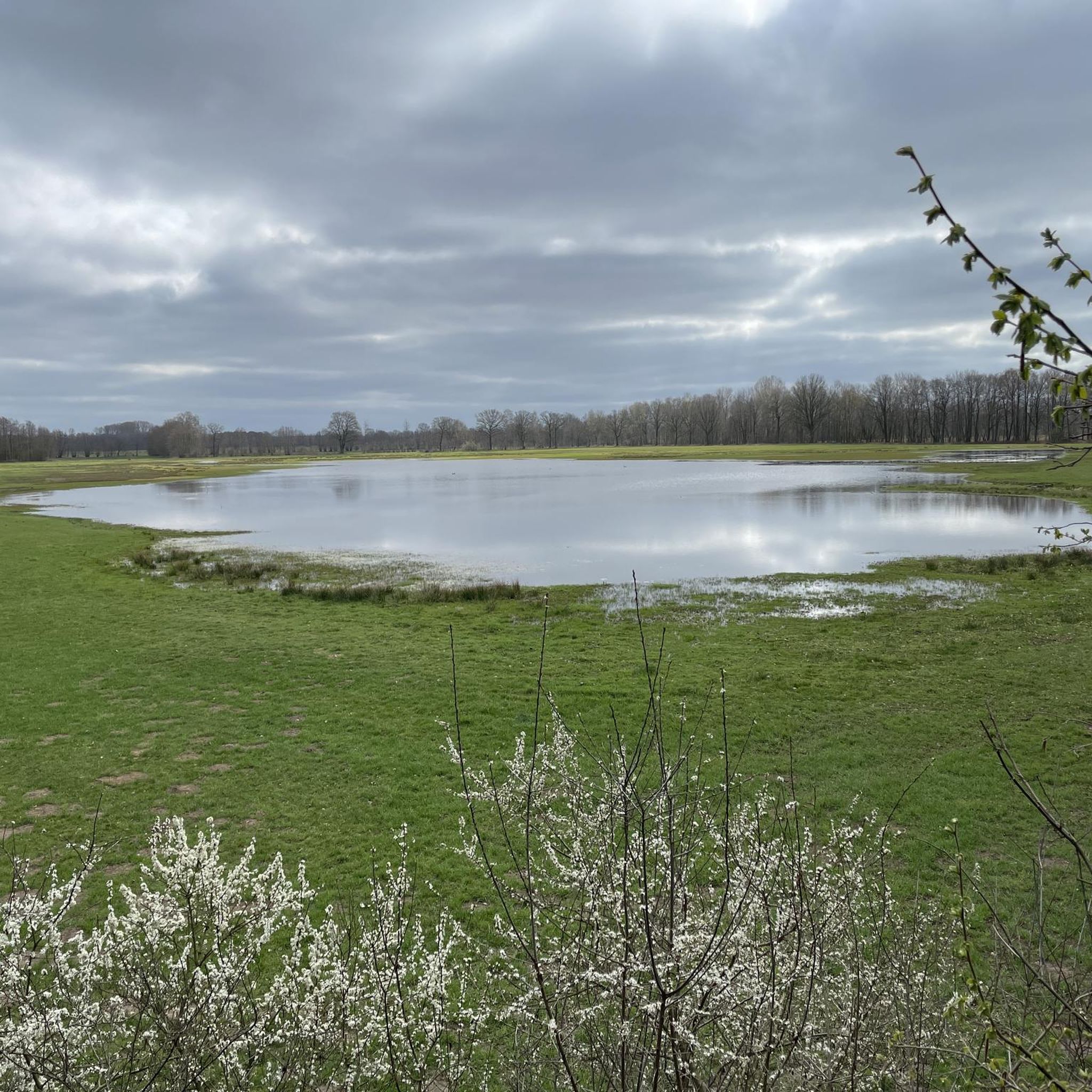

Tips from the Community

It is a nice playground but not in the Emsland district. It is the Steinfurt district in Münsterland NRW. The Emsland district is further north and in Lower Saxony.
0
0

On the small but charming market square in Tecklenburg, you should definitely take a break. It's beautiful!
17
0

There are beautiful hiking trails around the bathing lake
0
0

The parking lot isn't all that small, but it still fills up quickly, even with guests from the Netherlands. The exit isn't particularly clear either.
0
0


A beautiful little park that invites you to linger
5
0
Currently closed because the steps were too slippery
1
0

A nice place to linger along the route.
1
0
Frequently Asked Questions
How many mountaineering routes are available in Feuchtgebiet Saerbeck?
There are 5 distinct mountaineering routes in Feuchtgebiet Saerbeck, offering a range of experiences from moderate to difficult.
Are there any easy or beginner-friendly mountaineering routes in Feuchtgebiet Saerbeck?
While all routes are rated moderate to difficult, the "Pastors Allee" loop from Middendorf is one of the less strenuous moderate options, with minimal elevation gain, making it a good choice for those newer to mountaineering in the area.
What are the longest mountaineering trails in Feuchtgebiet Saerbeck?
The longest mountaineering route is the Rolandgrab – Bat Cave loop from Tecklenburg, which spans 21.4 km (13.3 miles) and is rated as difficult. Another substantial option is the Mountaineering loop from Brochterbecker Osningvorland, covering 13.1 km (8.1 miles).
Are there circular mountaineering routes in Feuchtgebiet Saerbeck?
Yes, all the mountaineering routes in Feuchtgebiet Saerbeck are circular, allowing you to start and end at the same point. Examples include the Rolandgrab loop from Osterklee and the Dreikaiserstuhl – Dörenther Cliffs loop from Brochterbecker Osningvorland.
What kind of natural attractions can I expect to see along the mountaineering routes?
The routes traverse varied terrain, including the Brochterbecker Osningvorland and the Dörenther Cliffs. You can also explore the Saerbeck Wetland Nature Reserve and enjoy views of the Dortmund-Ems Canal. The Rolandgrab – Bat Cave loop from Tecklenburg specifically highlights the Bat Cave.
Are the mountaineering trails in Feuchtgebiet Saerbeck suitable for families with children?
Given that all routes are rated moderate to difficult, they are generally more suited for families with older, experienced children who are accustomed to longer distances and varied terrain. For a moderate option, the Dreikaiserstuhl – Dörenther Cliffs loop from Brochterbecker Osningvorland is 8.2 km and offers scenic views.
What do other mountaineers say about the routes in Feuchtgebiet Saerbeck?
The mountaineering routes in Feuchtgebiet Saerbeck are highly regarded by the komoot community, with an average rating of 4.8 out of 5 stars. Users frequently praise the diverse landscapes, natural rock formations, and well-maintained forested paths.
What is the best time of year to go mountaineering in Feuchtgebiet Saerbeck?
The varied terrain of Feuchtgebiet Saerbeck, with its mix of forested areas and open paths, makes it enjoyable across multiple seasons. Spring and autumn offer pleasant temperatures and vibrant scenery, while summer provides longer daylight hours. Winter mountaineering is possible, but conditions can be more challenging due to potential snow or ice, especially on higher ground like the Dörenther Cliffs.
Are there any specific landmarks or points of interest to look out for?
Yes, along the routes, you can encounter the impressive Dörenther Cliffs, the historic Rolandgrab, and the unique Bat Cave. The Brochterbecker Damm Bridge is another notable structure in the area.
Can I bring my dog on the mountaineering trails in Feuchtgebiet Saerbeck?
Generally, dogs are welcome on public trails in natural areas like Feuchtgebiet Saerbeck. However, it's always advisable to keep your dog on a leash, especially in nature reserves or areas with wildlife, and to check local regulations for any specific restrictions. The varied terrain and longer distances mean your dog should be fit for such excursions.
Are there options for public transport access to the mountaineering routes?
While specific public transport links directly to every trailhead might be limited, the region around Feuchtgebiet Saerbeck is generally accessible. It is recommended to research local bus services or regional trains to nearby towns like Tecklenburg or Brochterbeck, and then plan your route to the trailhead accordingly. Parking is often available at popular starting points.
Where can I find parking for the mountaineering trails in Feuchtgebiet Saerbeck?
Many of the mountaineering routes, being loops, typically have designated parking areas near their starting points in towns or villages like Brochterbecker Osningvorland, Osterklee, Middendorf, or Tecklenburg. These are usually well-marked for hikers and visitors.
Most popular routes in Feuchtgebiet Saerbeck
Most popular attractions in Feuchtgebiet Saerbeck

Get inspired with the komoot mobile app


Explore more
Browse the best Mountain Hikes & Routes in other regions.
