Attractions and Places To See in Boswachterij Speulder En Sprielderbos - Top 14
Best attractions and places to see in Boswachterij Speulder En Sprielderbos include a diverse range of natural and historical sites. This region is known for its ancient beech forests, often referred to as "dancing trees," and offers a unique natural landscape. Visitors can explore historical sites, significant landmarks, and extensive recreational opportunities within this expansive forest area. The area provides insights into both natural history and human activity over thousands of years.
Best attractions and places to see in Boswachterij…
Last updated: July 5, 2026
Geographical Center of the Netherlands
Highlight • Monument
Translated by Google •
Tip by

Arnhemse Karweg cycle path, Veluwe
Highlight (Segment) • Cycleway
Translated by Google •
Tip by
Sign up now to discover places like this
Get recommendations on the best single tracks, peaks, & plenty of other exciting outdoor places.
Sign up for free
The Clay Cottage
Highlight • Historical Site
Translated by Google •
Tip by

Sprielderbos Cycle Path - Oude Prinsenweg
Highlight (Segment) • Cycleway
Translated by Google •
Tip by

Picnic spot at the edge of Grote Ark Heath
Highlight • Viewpoint
Translated by Google •
Tip by

Sign up for free to discover even more attractions in Boswachterij Speulder En Sprielderbos.
Sign up for free
Already have an account?
Start today with a free account
Your next adventure awaits.
Login or Signup
Popular around Boswachterij Speulder En Sprielderbos
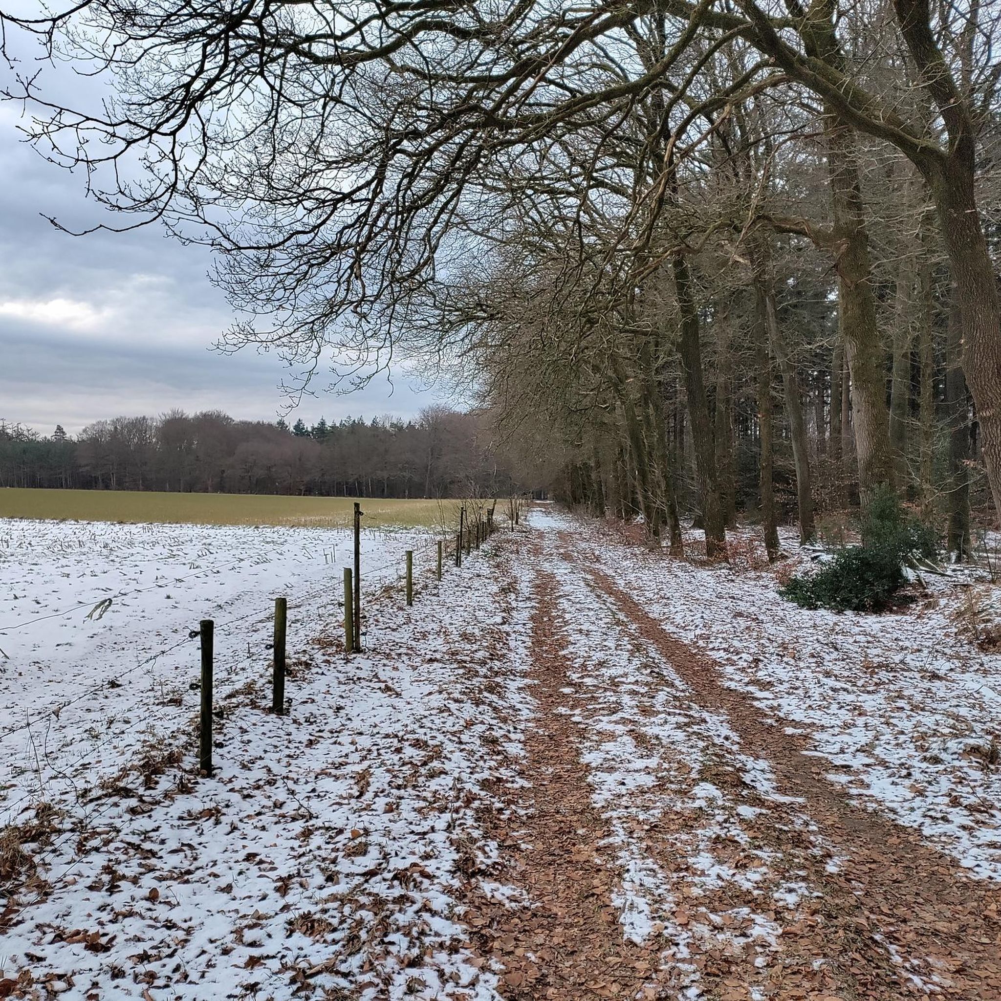
Hiking in Boswachterij Speulder En Sprielderbos
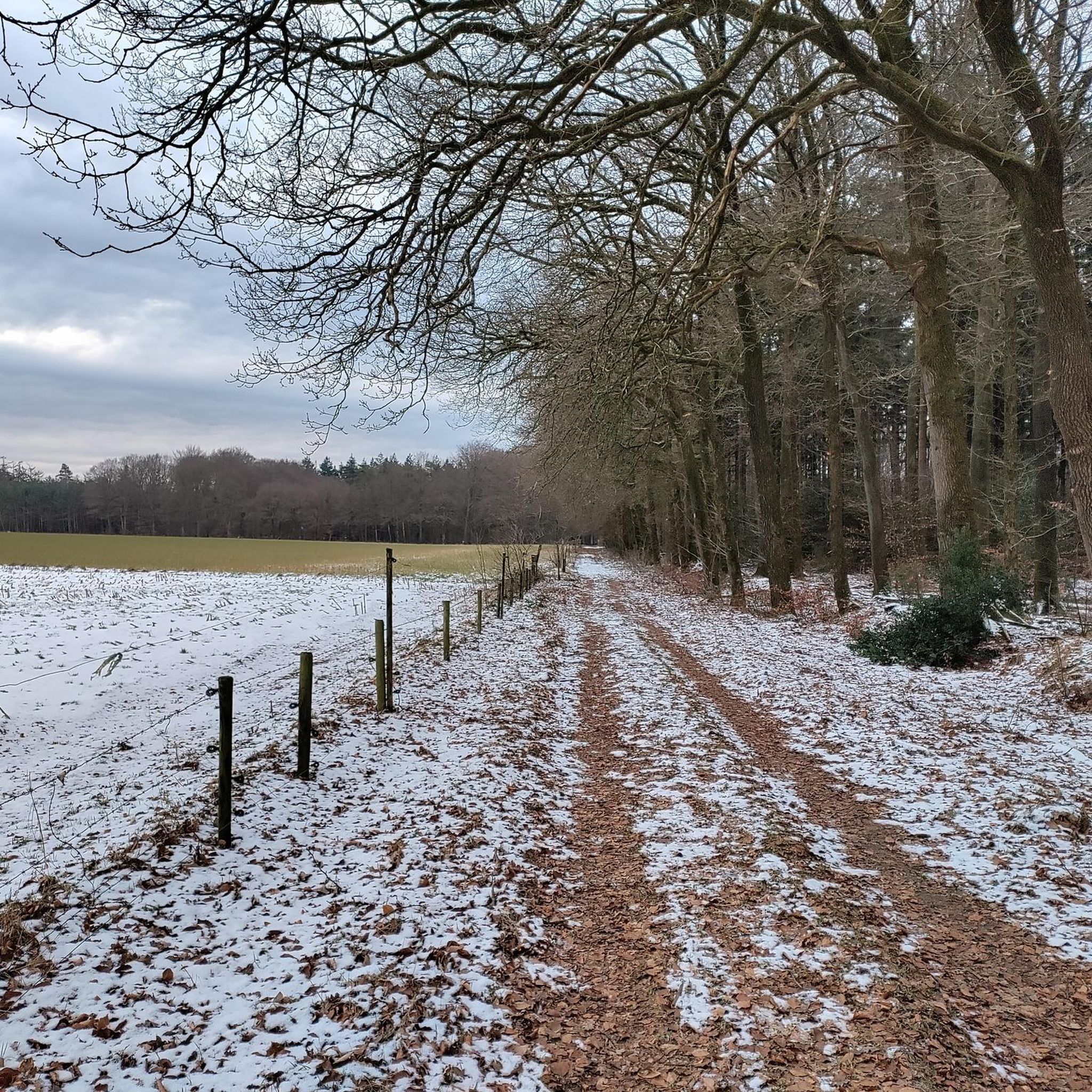
Cycling in Boswachterij Speulder En Sprielderbos
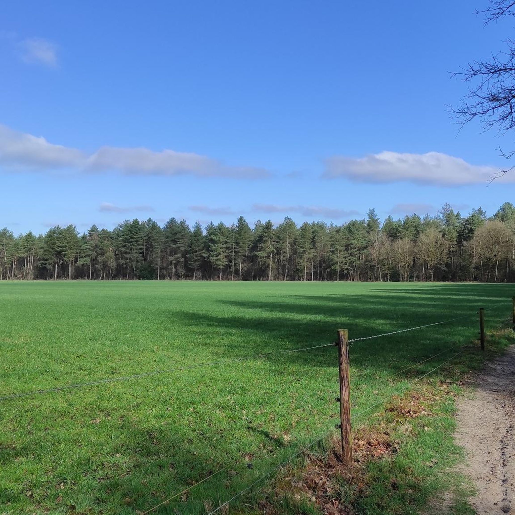
Road Cycling Routes in Boswachterij Speulder En Sprielderbos

Gravel biking in Boswachterij Speulder En Sprielderbos
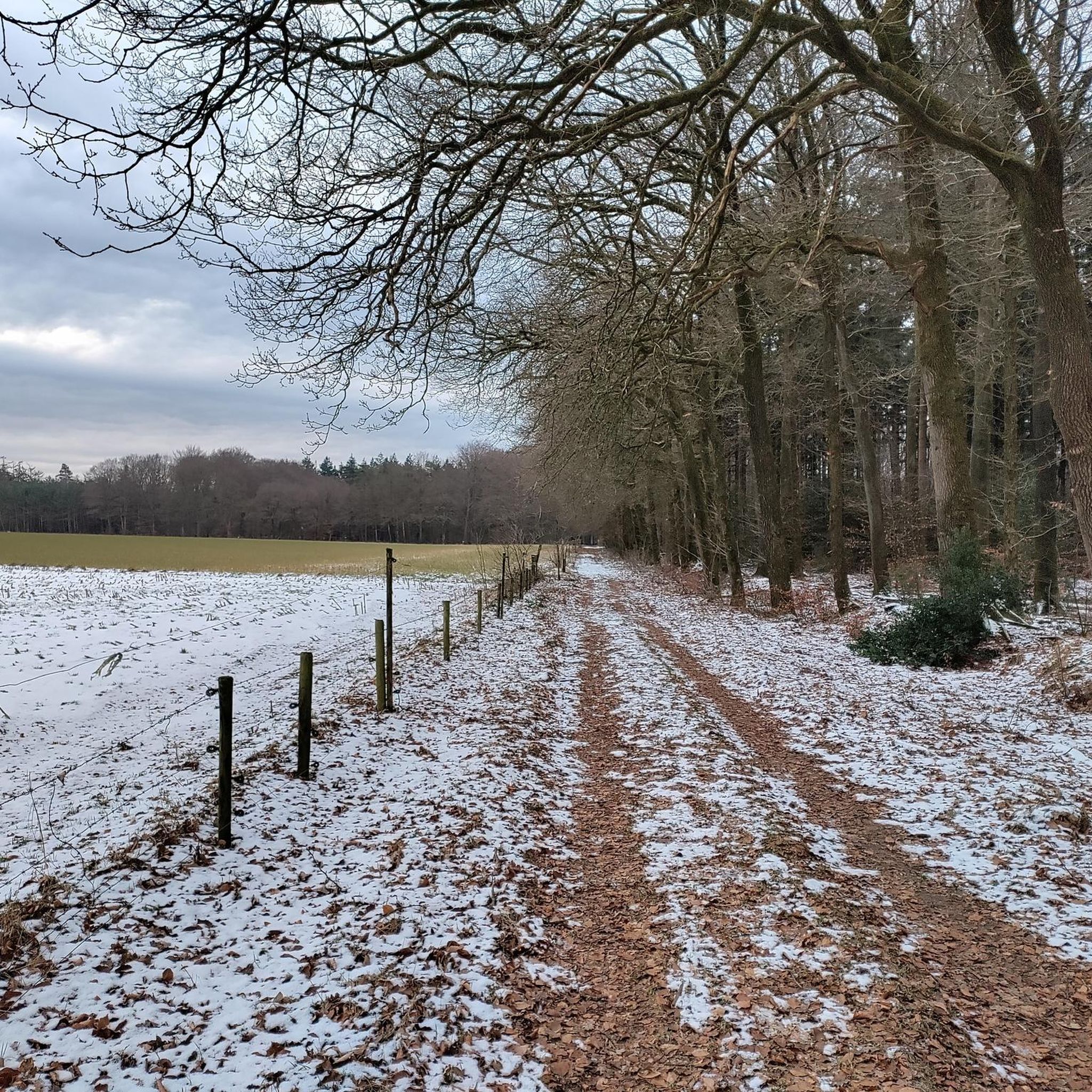
MTB Trails in Boswachterij Speulder En Sprielderbos
Running Trails in Boswachterij Speulder En Sprielderbos
Tips from the Community

A completely new work of art has recently been delivered as additional information about the centre of the Netherlands. This is a scale replica of a map of the Netherlands in steel.
1
0

The center of gravity of the mainland area of the Netherlands. In 1984, geologist Frank Storbeck calculated that the center of gravity was in Putten. He digitized the edges of the Netherlands and the inland waterways and calculated the center of gravity of the mainland using the computer. Storbeck did this on behalf of the theater maker Harrie Hageman, who had set himself the goal of organizing a funny happening about the discovery of the center of gravity in the Netherlands. [1]Hageman had an iron ring anchored to a boulder in the ground at the calculated location. This monument was unveiled with the words “Lift the Netherlands by this ring and no one will notice.” The ring with stone was lifted and kidnapped in 2007 as part of a New Year's Eve stunt. Kadaster recalculated the point for an episode of the television show Het Klokhuis in 2016. They then arrived at a location in the municipality of Ermelo. [2]But this was mainly because this calculation also included land that dries up at low tide. The found center then shifts through the Wadden Sea in the north. If you calculate the center based on the high water mark, you get to about 2 km from the top of Storbeck. The difference can be partly explained by calculation uncertainties, as Storbeck calculated it partly manually, but the exact location found also depends on the definitions used, boundary changes and coastline changes. Source: nl.wikipedia.org/wiki/Geographic_middelpunt_van_Nederland goo.gl/maps/dqdxCASQqGiAt2GP6
1
0

Veluwe cottage "'t Leme Huss" under thatched wolf roof and with plastered facades. The front facade has windows with shutters and good division of rods in the windows. Skylight with rear window. The rear facade of the part has weatherboard wooden parts. A shed in the yard. (https://rijksmonumenten.nl/monument/32212/t-leme-huus/putten/)
3
0
The center of gravity of the mainland area of the Netherlands. In 1984, geologist Frank Storbeck calculated that the center of gravity is in Putten. He digitized the edges of the Netherlands and the inland waterways and computer calculated the center of gravity of the mainland. Storbeck did this on behalf of theater maker Harrie Hageman, who set out to organize a fun happening about discovering the gravitational center of the Netherlands. [1]Hageman had an iron ring anchored to a boulder in the ground at the calculated point. This monument was unveiled with the words "Lift the Netherlands by this ring and no one will notice". The ring with stone was lifted and kidnapped as part of a New Year's Eve stunt in 2007. Kadaster recalculated the point for an episode of the TV show Het Klokhuis in 2016. They then arrived at a location in the municipality of Ermelo. [2]But that was mainly due to the fact that this calculation also included land that dried up at low tide. The found center then shifts through the Wadden Sea in the north. If you calculate the center based on the high water mark, you get about 2 km from the top of Storbeck. The difference can be partly explained by calculation uncertainties as Storbeck partly calculated it manually, but the exact location that is found also depends on the definitions used, boundary changes and coast changes. Source: https://nl.wikipedia.org/wiki/Geografisch_middelpunt_van_Nederland https://goo.gl/maps/dqdxCASQqGiAt2GP6
3
0
Zwaartepunt van Nederland in Putten The geographic center of the Netherlands https://www.vvvputten.nl/locaties-overzicht/2247364054/zwaartepunt-van-nederland https://nl.wikipedia.org/wiki/Geografisch_middelpunt_van_Nederland Unfortunately, the inscription on the marble slab is almost illegible.
2
0

This beautiful old house is located in a beautiful wooded area. It appears to be inhabited.
0
0
beautiful mud house that also seems to be inhabited. Beautiful route through the forest
3
0

This place used to be a crossroads between two important roads. There was a lot of traffic especially on the road between Arnhem and Harderwijk. Travelers could stop at this intersection at the Lemen Huisje, which was then an inn. The house is still there.
2
0
Frequently Asked Questions
What natural features are prominent in Boswachterij Speulder En Sprielderbos?
The region is renowned for its ancient beech forests, often called the “dancing trees,” due to their uniquely curved trunks, especially near the hamlet of Drie. You can also find the Picnic spot at the edge of Grote Ark Heath, offering views over the heathland, and the mysterious Solse Gat, a deep pit formed during the last ice age, steeped in local legends.
Are there any historical sites to visit in the area?
Yes, the area features several historical points of interest. You can explore burial mounds dating back to prehistoric times, indicating early human activity. There's also the poignant Onderduikershol, a hidden shelter used during World War II, and The Clay Cottage, a historic Veluwe cottage that once served as an inn at a crossroads.
What kind of cycling routes are available in Boswachterij Speulder En Sprielderbos?
The Boswachterij is crisscrossed with numerous cycling trails. A highlight is the Sprielderbos Cycle Path - Oude Prinsenweg, considered one of the most beautiful in the country, passing through the 'dancing trees' forest. Another popular option is the Arnhemse Karweg cycle path, Veluwe, a paved route that offers beautiful kilometers through the Veluwse Bossen. For more cycling options, explore the routes in our Cycling in Boswachterij Speulder En Sprielderbos guide.
Can I go hiking in Boswachterij Speulder En Sprielderbos?
Absolutely. The forest offers a variety of marked and unmarked hiking trails. Popular routes include the Duintjesroute, a 6 km loop through the hilly Gardense Stuwwal, and longer paths like the 16 km Speulderpad. You can find more detailed information and routes in our Hiking in Boswachterij Speulder En Sprielderbos guide.
Are there any family-friendly attractions or activities?
Many attractions in Boswachterij Speulder En Sprielderbos are suitable for families. The unique 'dancing trees' are a magical sight for all ages. The Geographical Center of the Netherlands, marked by a large boulder and steel ring, is an interesting stop. Additionally, many of the cycling and hiking paths, such as the Sprielderbos Cycle Path - Oude Prinsenweg, are family-friendly.
Where can I observe wildlife in the forest?
The nutrient-rich forest is home to red deer, wild boars, badgers, and various bird species. For dedicated wildlife spotting, the Wildarena de Witte Hoogt in Drie, Ermelo, offers a covered observation post with views of a clearing where deer and wild boars are frequently seen. Access to the Wildarena typically requires guidance from Staatsbosbeheer.
What is the best time of year to visit Boswachterij Speulder En Sprielderbos?
Boswachterij Speulder En Sprielderbos is beautiful in all seasons. Spring brings fresh green leaves, summer offers sunbeams filtering through the canopy, autumn transforms the forest with golden hues, and winter provides a serene landscape of bare trunks against a snowy backdrop. Your preferred activities might influence the best time for your visit.
Is there a place to get a panoramic view of the forest?
Yes, the Bostoren (Forest Tower) near Garderenseweg 142 in Putten offers an excellent opportunity for panoramic views. This 40-meter high tower provides a unique perspective over the vast forest canopy, allowing you to appreciate the scale and beauty of the woodlands.
What do visitors enjoy most about Boswachterij Speulder En Sprielderbos?
Visitors particularly enjoy the unique natural beauty of the 'dancing trees' and the ancient beech forests. The extensive network of well-maintained cycling and hiking paths, like the Sprielderbos Cycle Path - Oude Prinsenweg, is also highly appreciated for exploring the serene environment. Many find the historical sites and the peaceful atmosphere to be significant draws.
Are there easy walking routes suitable for beginners?
Yes, there are several easy walking routes. For instance, the 'Endless Lanes in Veluwe' loop is an easy 6.5 km hike, and the 'Solse Gat – Forest walk in the Veluwe' loop is another easy option at about 6.5 km. You can find more easy routes in our Easy hikes in Boswachterij Speulder En Sprielderbos guide.
What is the Geographical Center of the Netherlands?
The Geographical Center of the Netherlands is a man-made monument marking a calculated geographical center of the country. It's indicated by a heavy boulder with a large steel ring, symbolizing the point where the Netherlands would theoretically balance if lifted. It's a unique and interesting landmark to visit.
Are there any cultural museums or estates nearby?
Yes, the Historisch Museum 'De Tien Malen' at Garderenseweg 97 in Putten offers insights into the history of Putten and its surroundings. While not directly within the Boswachterij, the nearby Estate Staverden is also a recommended destination, featuring a historic manor and a brewery for additional cultural exploration.
Most popular routes in Boswachterij Speulder En Sprielderbos

Get inspired with the komoot mobile app


Explore more
Still not found the Highlight you’re looking for? See guides of the top attractions in other regions:
