The 11 Most Amazing Peaks around Gräfenthal
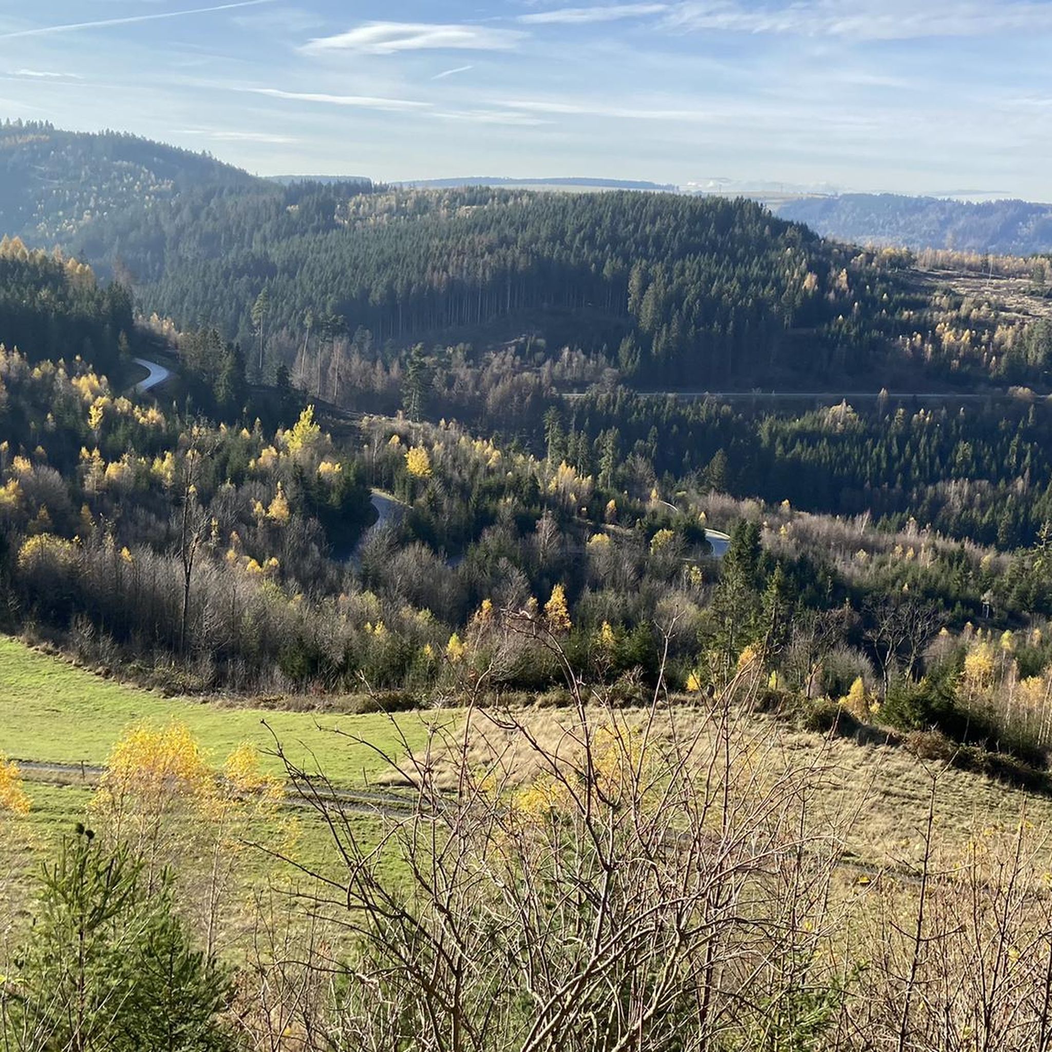
Best mountain peaks around Gräfenthal are found within the Thuringian Slate Mountains, a region characterized by its forested, hilly landscape. Gräfenthal is situated at approximately 400 meters above sea level, with surrounding districts reaching up to 730 meters. The area offers extensive opportunities for hiking and enjoying panoramic views across its low mountain range scenery. This region is known for its deep valleys, dense forests, and unique slate geology, providing a tranquil setting for outdoor recreation.
Best mountain peaks around…
Last updated: June 29, 2026
Meuselbacher Kuppe Observation Tower and Guesthouse
Highlight • Viewpoint
Translated by Google •
Tip by

Windheimer Höhe summit
Highlight • Summit
Translated by Google •
Tip by

Sign up now to discover places like this
Get recommendations on the best single tracks, peaks, & plenty of other exciting outdoor places.
Sign up for free
Highest Point in Saalfeld-Rudolstadt District
Highlight • Summit
Translated by Google •
Tip by

Viewpoint 'Pump' on Großer Tierberg
Highlight • Viewpoint
Translated by Google •
Tip by

Summit Cross above Döschnitz
Highlight • Summit
What a lovely spot! A rest at this place is always recommended, be it …
Translated by Google •
Tip by

Sign up for free to discover even more peaks around Gräfenthal.
Sign up for free
Already have an account?
Start today with a free account
Your next adventure awaits.
Login or Signup
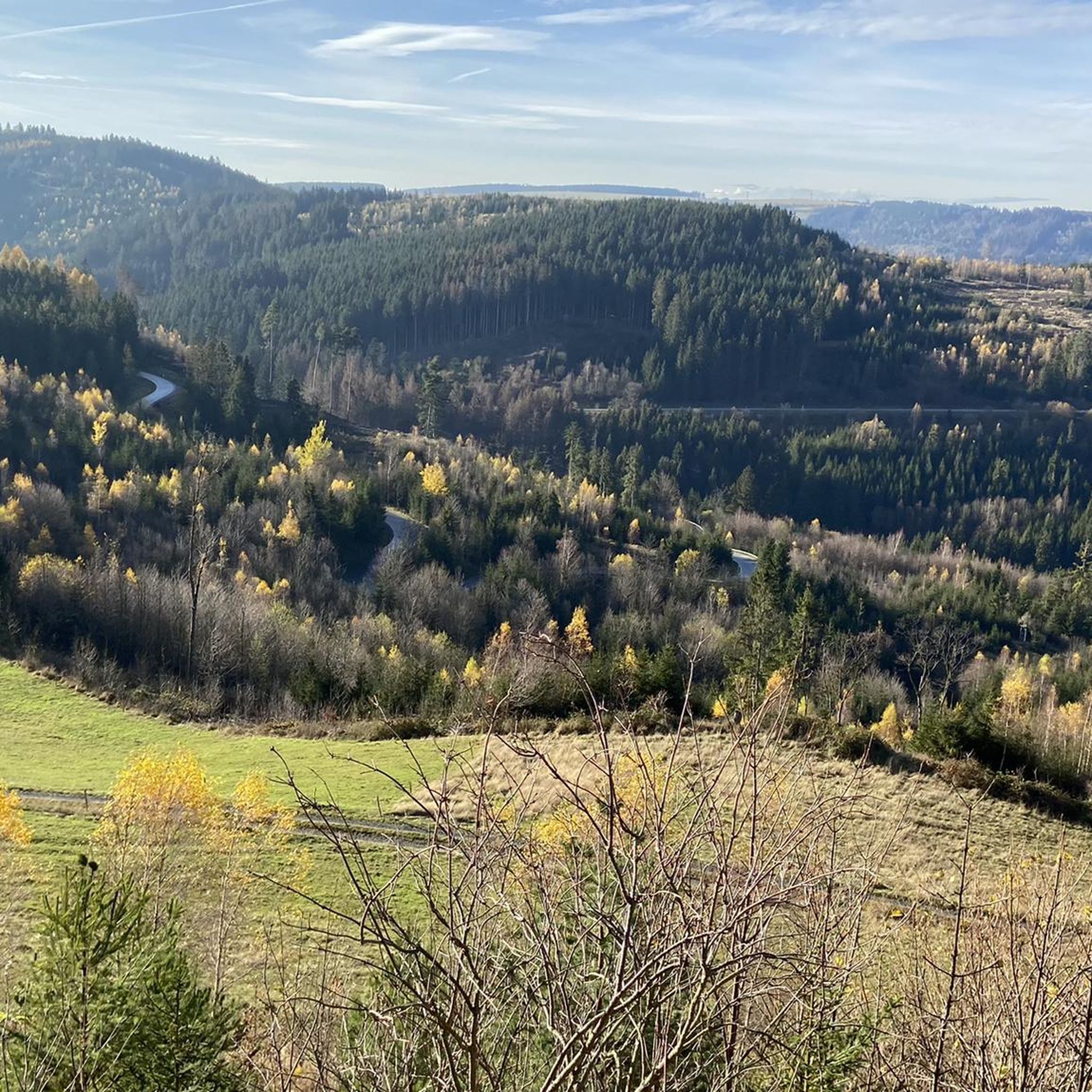
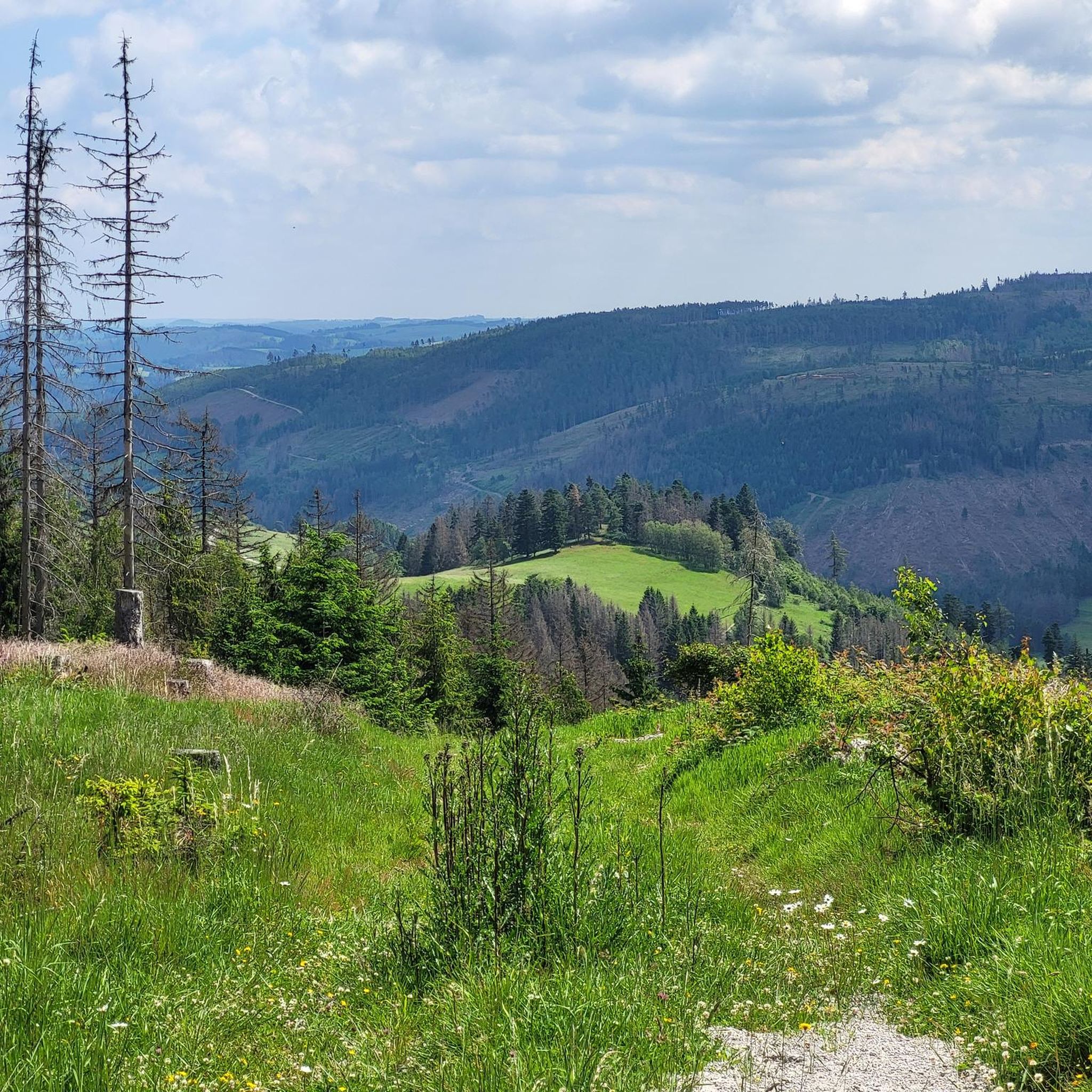
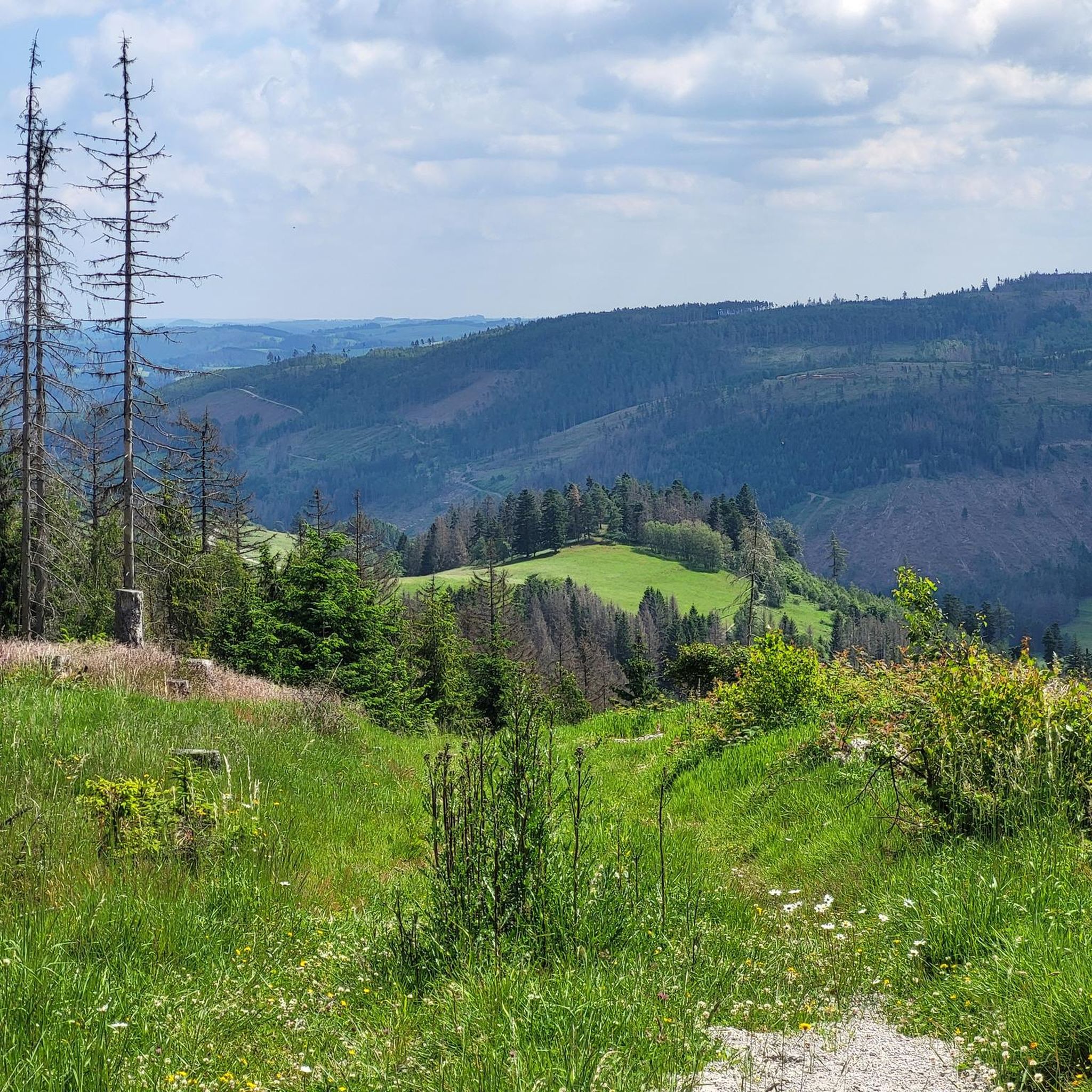
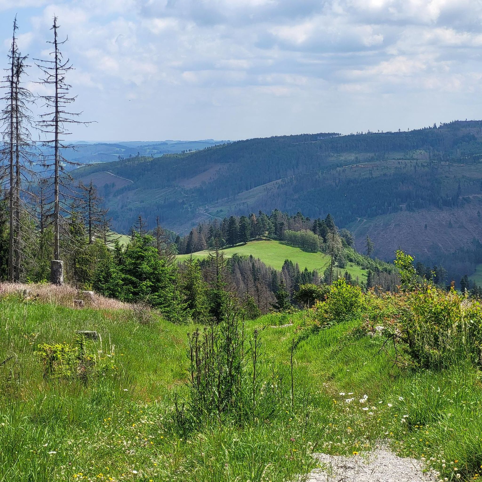

Tips from the Community

Rest stop at the Windheimer Höhe
0
0

Wonderful rest area with a view of Steinach and further to the Schneekopf
0
0

The Kuppen Steig (K 6) leads directly to the viewpoint 👍😉🚵
0
0
Mega climb, then cool trail on the edge, to the Pump viewpoint. 😉👍🚵
0
0

On a clear day the view is magnificent.
0
0

Unfortunately no trees from now on.
0
0

Döschnitz is off the main roads, but is a place worth seeing with pretty houses and a local history museum.
0
0

Just enjoy this place.
0
0
Frequently Asked Questions
What are some of the most popular viewpoints around Gräfenthal?
Visitors frequently enjoy the Viewpoint 'Pump' on Großer Tierberg, which offers wonderful views over the southern Slate Mountains, the Franconian Forest, and the Fichtel Mountains. Another highly rated spot is the Meuselbacher Kuppe Observation Tower and Guesthouse, providing magnificent panoramic views.
Are there any mountain peaks or elevated points with historical significance near Gräfenthal?
Yes, the Windheimer Höhe summit is notable for its historical importance. In 1806, Emperor Napoleon I held a meeting with his generals here before moving on to Saalfeld. You can find the Napoleon bush at the resting place on the summit.
What kind of views can I expect from the mountain peaks around Gräfenthal?
The region, part of the Thuringian Slate Mountains, offers extensive views over a forested, hilly landscape. From elevated points like the Viewpoint 'Pump' on Großer Tierberg, you can see distant mountain ranges like the Franconian Forest and the Fichtel Mountains. Schloss Wespenstein also provides fantastic views of Gräfenthal and the surrounding Slate Mountains.
What is the highest point in the Saalfeld-Rudolstadt district near Gräfenthal?
The highest point in the Saalfeld-Rudolstadt district is located at 827 meters, near the Rennsteig. This Highest Point in Saalfeld-Rudolstadt District offers a bench and table for a well-deserved rest.
Are there family-friendly mountain peaks or viewpoints to visit?
Yes, the Windheimer Höhe summit is considered family-friendly, offering both natural beauty and historical context. Many of the viewpoints in the area, while sometimes requiring a moderate ascent, are generally accessible for families looking to enjoy nature.
What outdoor activities can I do near the mountain peaks around Gräfenthal?
The forested hills and valleys around Gräfenthal are ideal for various outdoor activities. You can explore numerous running trails, enjoy scenic road cycling routes, or tackle challenging MTB trails. The famous Rennsteig trail, a historic ridge-top path, is also easily accessible for extensive hiking experiences.
Are there places to eat or rest near the mountain peaks?
Yes, the Meuselbacher Kuppe Observation Tower and Guesthouse features a guesthouse with a cozy restaurant, perfect for a break after enjoying the panoramic views. Additionally, many viewpoints, like the Viewpoint 'Pump' on Großer Tierberg and the Highest Point in Saalfeld-Rudolstadt District, offer designated rest areas with benches and tables.
What is the general difficulty of hiking to the mountain peaks in this region?
Most routes to the elevated points and viewpoints around Gräfenthal are generally considered intermediate. While some ascents, like to the Viewpoint 'Pump' on Großer Tierberg, can be steep, they are typically manageable and rewarding. The region's low mountain range character means you'll find a good mix of gentle and more challenging paths.
What makes the landscape around Gräfenthal unique?
Gräfenthal is nestled within the Thuringian Slate Mountains, a region known for its distinctive natural beauty. The landscape features deep valleys, dense spruce forests, and unique slate geology. This combination creates a tranquil setting with abundant opportunities for nature observation and outdoor recreation.
What do visitors appreciate most about the mountain peaks near Gräfenthal?
Visitors particularly enjoy the wonderful panoramic views offered from various elevated points, such as the Viewpoint 'Pump' on Großer Tierberg and the Meuselbacher Kuppe Observation Tower. The historical significance of sites like the Windheimer Höhe summit and the peaceful, forested environment of the Thuringian Slate Mountains also receive high praise.
Is there a specific summit cross to visit in the area?
Yes, you can find a lovely Summit Cross above Döschnitz. It's described as a charming spot, highly recommended for a rest, offering plenty of sun on a clear day.
Most popular routes around Gräfenthal
Most popular attractions around Gräfenthal

Get inspired with the komoot mobile app


Explore more
See even more amazing summits around Gräfenthal with these guides:
