Bienener Altrhein, Millinger Meer Und Hurler Meer
Bienener Altrhein, Millinger Meer Und Hurler Meer
The best walks and hikes in Bienener Altrhein, Millinger Meer Und Hurler Meer
4.4
(3099)
15,838
hikers
752
hikes
Hiking trails in Bienener Altrhein, Millinger Meer Und Hurler Meer traverse a significant wetland area in North Rhine-Westphalia, Germany. The region is characterized by an extensive abandoned meander system of the Rhine, featuring old Rhine arms, floodplain landscapes, and sprawling meadows. This area is recognized as a valuable nature reserve, providing a habitat for diverse ecosystems and numerous rare species. The terrain is generally flat, with minimal elevation changes, making it accessible for various hiking abilities.
Best hiking trails in…
Last updated: October 11, 2026
4.7
(24)
89
hikers
Moderate hike. Good fitness required. Easily-accessible paths. Suitable for all skill levels.
4.0
(5)
26
hikers
Easy hike. Great for any fitness level. Easily-accessible paths. Suitable for all skill levels.

4.4
(5)
19
hikers
Easy hike. Great for any fitness level. Easily-accessible paths. Suitable for all skill levels.
3.3
(3)
14
hikers
Moderate hike. Good fitness required. Easily-accessible paths. Suitable for all skill levels.
4.8
(4)
28
hikers
3.71km
00:56
10m
10m
Easy hike. Great for any fitness level. Easily-accessible paths. Suitable for all skill levels.
Get access to more routes and recommendations from other explorers.
Already have an account?
Our route recommendations are based on thousands of hikes, rides, and runs completed by other people on komoot.
Start today with a free account
Your next adventure awaits.
Popular around Bienener Altrhein, Millinger Meer Und Hurler Meer
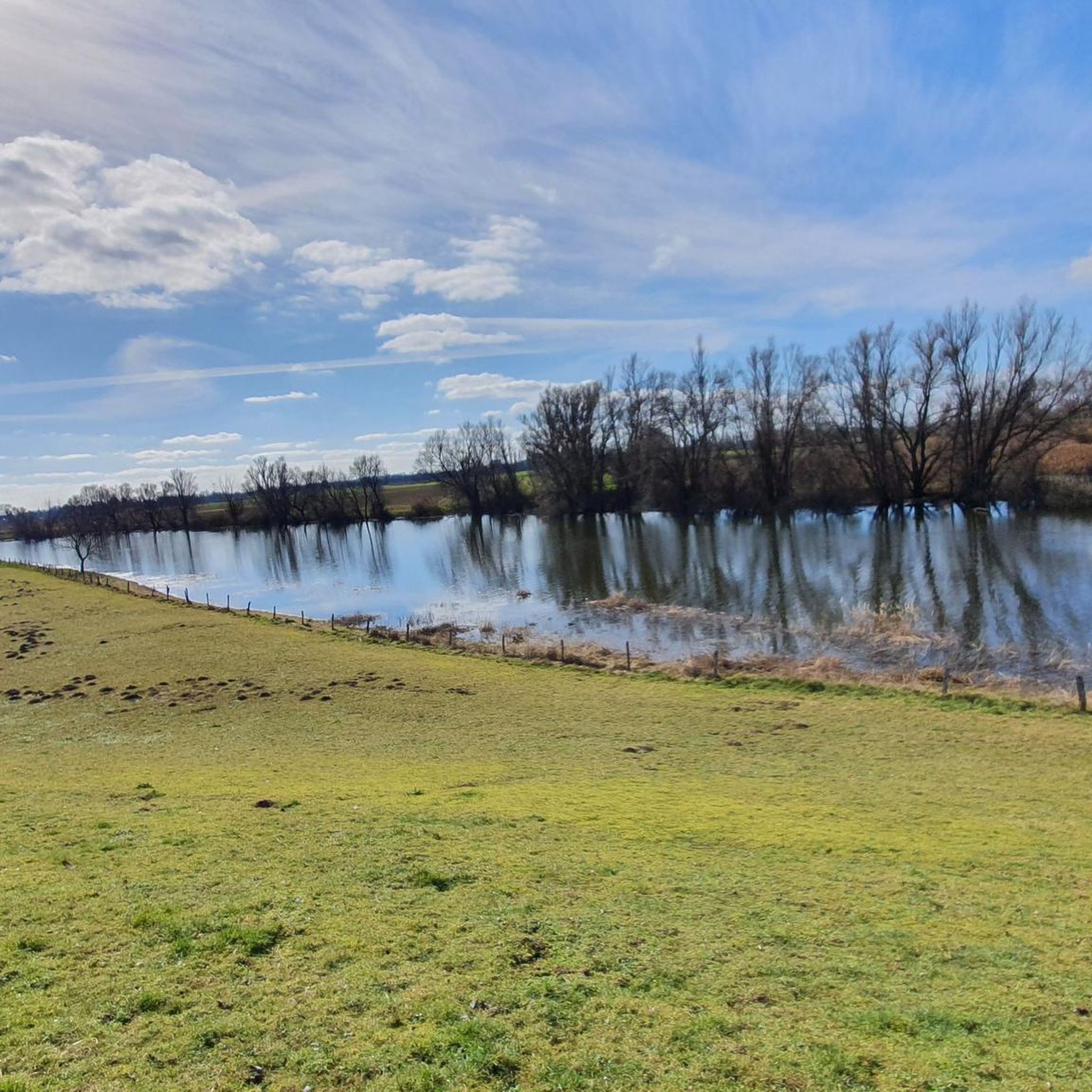
Cycling in Bienener Altrhein, Millinger Meer Und Hurler Meer

Road Cycling Routes in Bienener Altrhein, Millinger Meer Und Hurler Meer
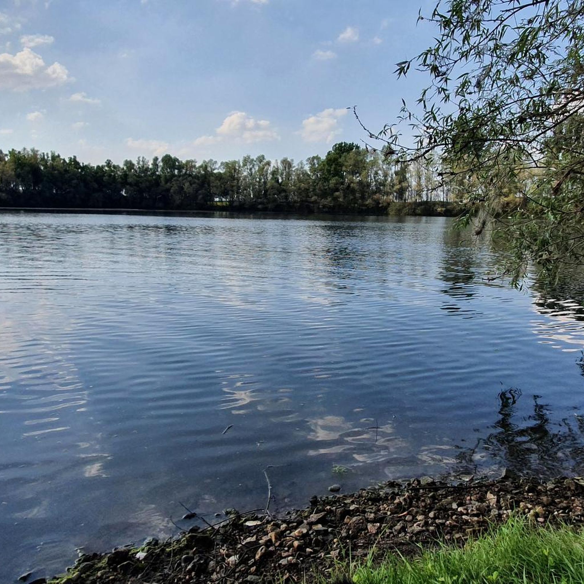
Running Trails in Bienener Altrhein, Millinger Meer Und Hurler Meer
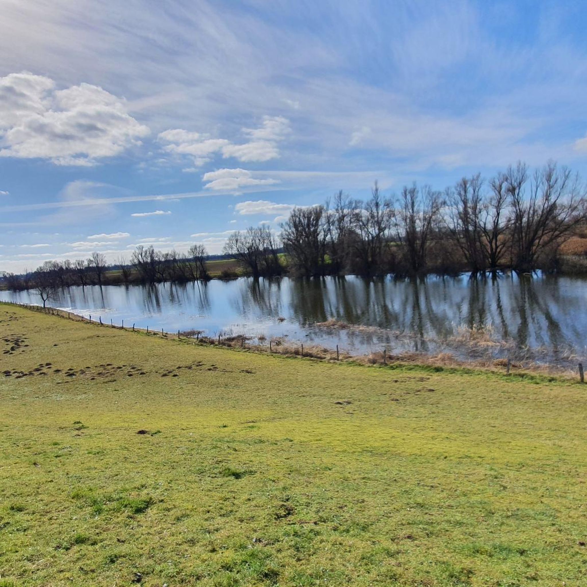
MTB Trails in Bienener Altrhein, Millinger Meer Und Hurler Meer
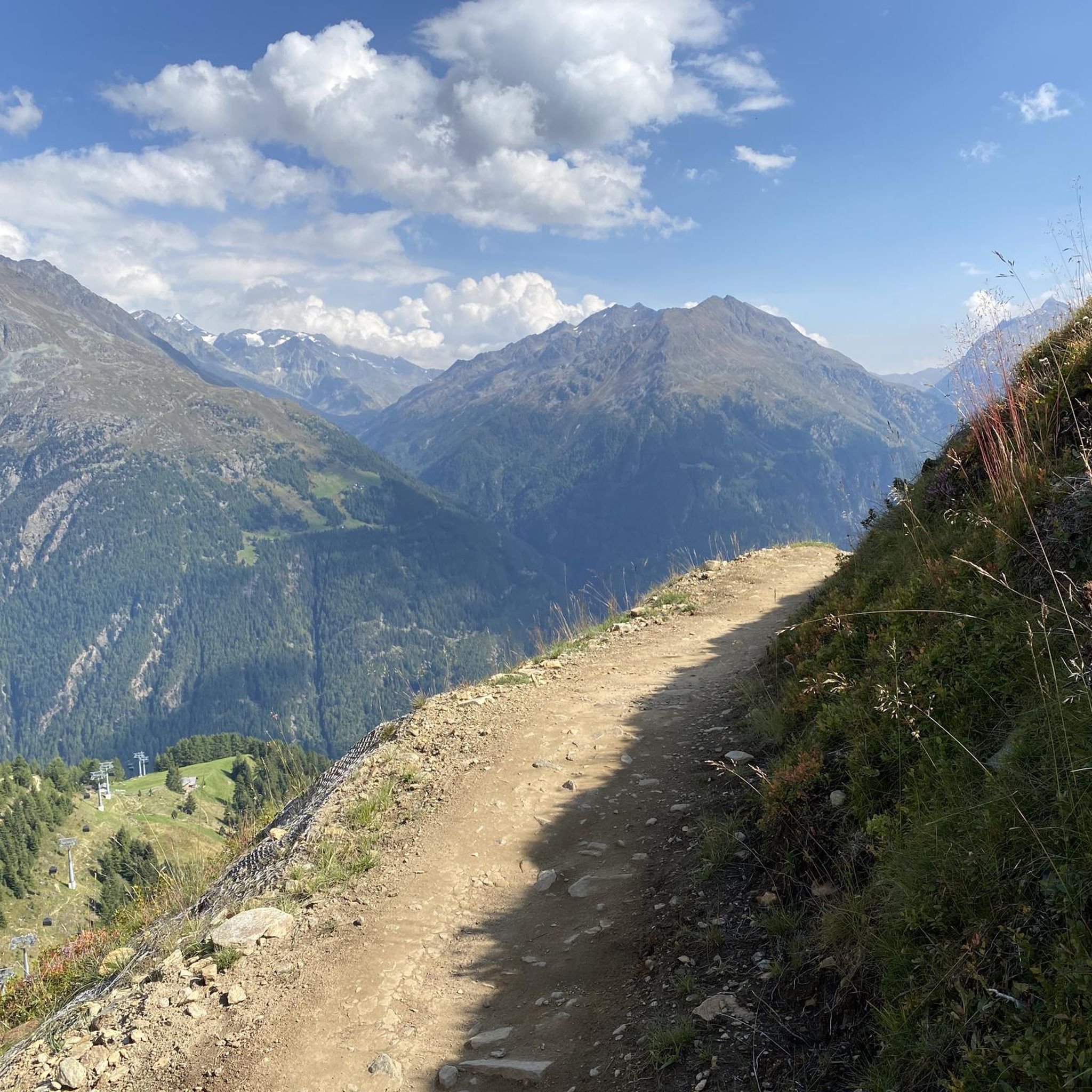
Gravel biking in Bienener Altrhein, Millinger Meer Und Hurler Meer
Tips from the Community

Here you can still see storks nesting in the trees.
1
0

<< Bienen: Catholic parish church of St. Cosmas & Damian >> "The original patronage of St. Lambertus in Bienen (1122 Byenen) above the Rhine (today Bienener Altrhein) on the historic trade route from Wesel to Arnhem indicates a Carolingian foundation in the late 8th or early 9th century. The patrons St. Cosmas and St. Damian appeared on a judge's seal in 1435. The parish mentioned in 1298 received parts of the lost parish of Sulen around 1450 and belonged to the archdeaconry and deanery of Xanten. The Lords of Anholt, as owners of the former Sulen lordship, exercised the right of patronage from 1454; it lasted until 1952. The Romanesque tower of the parish church with two bells dates from the 13th or 14th century and has a simple structure with round arches on the upper floor. In 1366, work began with the single-nave hall building in the late Gothic style. In 1514-16 the church was extended by 2 naves. The central nave received new vaults. The church was replastered in 1856 and renovated in 1886. After the destruction in the Second World War, reconstruction took place between 1949 and 1977. Today we see a three-nave pseudo-basilica with cross-ribbed vaults under a gable roof. The east choir has been moved in. In the southeast is the sacristy with a pent roof. The red brickwork is partially interrupted by tuff; natural slate was used for the roof covering. The historic Willis organ from England dates from 1872." https://www.stadt-rees.de/tourismus-freizeit/sehenswuerdigkeiten/kirchen-in-rees/bienen-kath-kirche/
0
0
<< Mill Rosau in Bienen >> "Location: In Rees-Bienen on the lower Lower Rhine, the mill Rosau is located in the floodplain landscape crossed by old arms of the Rhine. Meadows and pastures dominate the landscape. The mill Rosau is located outside the town and stands on the inside of the dike to the Bienener Altrheinarm nature reserve. Building: The 4-storey windmill is a single building within a farm complex. It is a whitewashed tower made of bricks that can be seen from afar. The straight, cylindrical tower rises above a wide clinker-clad base floor that reaches about the height of the dike. The roof hood, wing cross, cod end and wall are missing. The empty building no longer has the gears or grinding gear. Several millstones lean against the outer wall of the base floor. There are no other indications of the tower's function as a mill. History: The history of the mill Rosau is still obscure today. It is unknown when the tower was built, but it was probably in the 14th century. The mill tower is said to have once belonged to the nearby Rosau Castle of the Count of Kleve, which was rebuilt after a fire in the immediate vicinity of the tower. It is assumed that the tower had a dual function: defensive tower and mill. The tower is said to have served as a windmill as late as the 18th century. The tower is currently empty and is occasionally used as a storage room. Architectural monument: The Rosau windmill is listed as an architectural monument of the city of Rees under monument number A 19." (Elisabeth Zenses, Rheinisches Mühlen-Dokumentationszentrum e.V., 2017, recorded as part of the joint project "Recording of the mills in the Rhineland") https://www.kuladig.de/Objektansicht/KLD-290058
0
0

The "Millinger Landwehr" in Rees is a small stream
4
0

Storks looking for food in the meadow
3
0

You can also go around the church by bike.
6
0

😯Already interesting ... tremendous ... monstrous to look at🚜🚜🚜🚜, located directly on Anholter Strasse in Millingen🇩🇪. 📸👌🏼 https://www.pieper-landtechnik.de/
0
0

You can find out more about the highlight here: https://de.wikipedia.org/wiki/M%C3%BChle_Rosau
1
0
Frequently Asked Questions
How many hiking trails are available in Bienener Altrhein, Millinger Meer Und Hurler Meer?
There are over 700 hiking trails in the Bienener Altrhein, Millinger Meer Und Hurler Meer region. These routes cater to various fitness levels, with a significant number of easy and moderate options available.
Are there easy hiking trails suitable for beginners or families with children?
Yes, the region is very accessible for beginners and families. Over 490 of the available routes are classified as easy. An excellent option is the Zum Türmchen Tower – Vriendshof Orchard Farm Shop loop from Grietherorter Altrhein mit Hafen Dornick, which is an easy 4.6 km path offering views of the tower and access to a farm shop.
What kind of natural features can I expect to see while hiking in this area?
The region is characterized by a rich floodplain landscape, featuring old Rhine arms, sprawling meadows, and pastures. You'll encounter diverse ecosystems, including significant wetlands that serve as crucial breeding and resting grounds for waterfowl and migratory birds. The area is a natural refuge for rare floodplain plants and animals, offering serene natural settings and small biotopes where you can often hear the rustling of birds.
Are there any notable landmarks or attractions along the hiking trails?
Yes, several interesting landmarks and natural attractions can be explored. You can visit the Mühle Rosau Tower Ruin, or enjoy the natural beauty of the Bienener Altrhein Nature Reserve. The Millinger Meer Beach is also a point of interest.
Are the hiking trails in Bienener Altrhein, Millinger Meer Und Hurler Meer dog-friendly?
Many trails in the Bienener Altrhein, Millinger Meer Und Hurler Meer region are suitable for hiking with dogs. Given the area's nature reserve status and diverse wildlife, it's important to keep dogs on a leash to protect the local flora and fauna, especially near bird breeding grounds and sensitive wetland areas.
What is the best time of year to go hiking in this region?
The Bienener Altrhein, Millinger Meer Und Hurler Meer region offers pleasant hiking experiences throughout much of the year. Spring and autumn are particularly beautiful, with migratory birds passing through and vibrant foliage. Summer provides warm weather for exploring, while winter can offer tranquil, frosty landscapes, though some paths might be muddy. Always check local conditions before heading out.
Are there any circular hiking routes available?
Yes, the region features many circular hiking routes. For example, the View of the Floodgate – Sommerdeich Nature Experience loop from Bienen is a popular 10 km circular trail offering a comprehensive nature experience. Another option is the Hiking loop from Millingen, which allows you to explore the area around Millingen.
Is there parking available near the trailheads?
Yes, parking is generally available at various starting points for hikes throughout the Bienener Altrhein, Millinger Meer Und Hurler Meer region. Many trailheads, especially in and around towns like Bienen and Grietherorter Altrhein, offer designated parking areas for hikers.
Can I reach the hiking areas using public transport?
While specific public transport options vary, the region is generally accessible by public transport, particularly to the larger towns and villages surrounding the nature reserves. From these points, you may need to walk or use local connections to reach specific trailheads. It's advisable to check local bus schedules for the most up-to-date information.
What do other hikers enjoy most about hiking in Bienener Altrhein, Millinger Meer Und Hurler Meer?
The area is highly rated by the komoot community, with an average score of 4.5 stars from over 2,700 reviews. Hikers frequently praise the tranquil atmosphere, the diverse natural landscapes, and the well-maintained paths that make exploring the old Rhine arms and wetlands a truly immersive experience.
Are there places to eat or drink near the hiking trails?
Yes, you can find places to eat and drink in the villages and towns surrounding the nature reserves, such as Bienen, Millingen, and Rees. Some routes, like the Zum Türmchen Tower – Vriendshof Orchard Farm Shop loop, even provide direct access to local farm shops where you can find refreshments.
What is the typical terrain like on the hiking trails?
The terrain in Bienener Altrhein, Millinger Meer Und Hurler Meer is generally flat, with minimal elevation changes. You'll mostly be walking on well-maintained paths through floodplain landscapes, alongside old Rhine arms, and across meadows and pastures. This makes the trails accessible and enjoyable for a wide range of hikers.
Most popular routes in Bienener Altrhein, Millinger Meer Und Hurler Meer
Most popular attractions in Bienener Altrhein, Millinger Meer Und Hurler Meer

Get inspired with the komoot mobile app


Explore more
Browse the best Hikes in other regions.
