The best walks and hikes in Bachsystem Des Wienbaches
4.6
(14831)
54,716
hikers
71
hikes
Hiking in Bachsystem Des Wienbaches offers a network of trails through a landscape characterized by moorlands, dunes, and forested areas. The region features gentle elevation changes, making it accessible for various activity levels. Streams and natural resting benches are common along the paths, providing opportunities for breaks amidst the natural surroundings. This area provides a mix of open landscapes and wooded sections for hikers to explore.
Best hiking trails in Bachsystem Des Wienbaches
- The most popular hiking route is View…
Last updated: October 8, 2026
4.7
(211)
627
hikers
Moderate hike. Good fitness required. Easily-accessible paths. Suitable for all skill levels.
4.6
(43)
132
hikers
Easy hike. Great for any fitness level. Easily-accessible paths. Suitable for all skill levels.

4.7
(31)
125
hikers
Moderate hike. Good fitness required. Easily-accessible paths. Suitable for all skill levels.
4.6
(44)
182
hikers
Easy hike. Great for any fitness level. Easily-accessible paths. Suitable for all skill levels.
4.7
(53)
145
hikers
5.23km
01:20
20m
20m
Easy hike. Great for any fitness level. Easily-accessible paths. Suitable for all skill levels.
Get access to more routes and recommendations from other explorers.
Already have an account?
Our route recommendations are based on thousands of hikes, rides, and runs completed by other people on komoot.
Start today with a free account
Your next adventure awaits.
Popular around Bachsystem Des Wienbaches
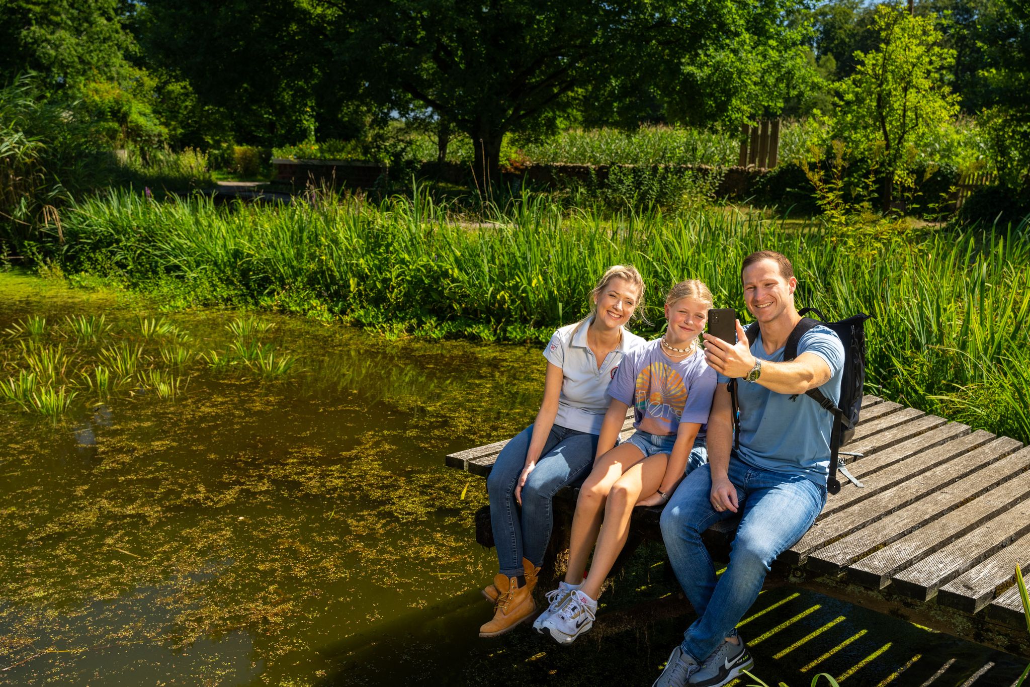
Hiking and discoveries – family walks in the Hohe Mark Nature Park
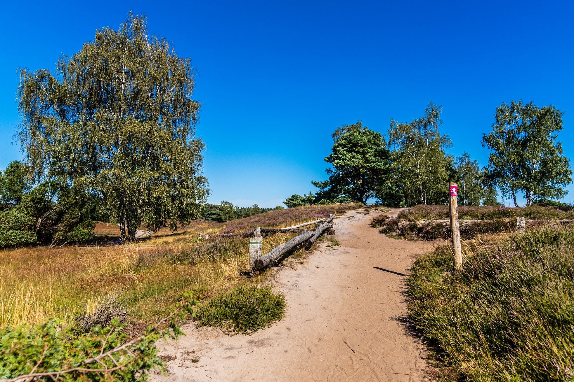
Your bond with nature — Germany’s Hohe Mark Steig
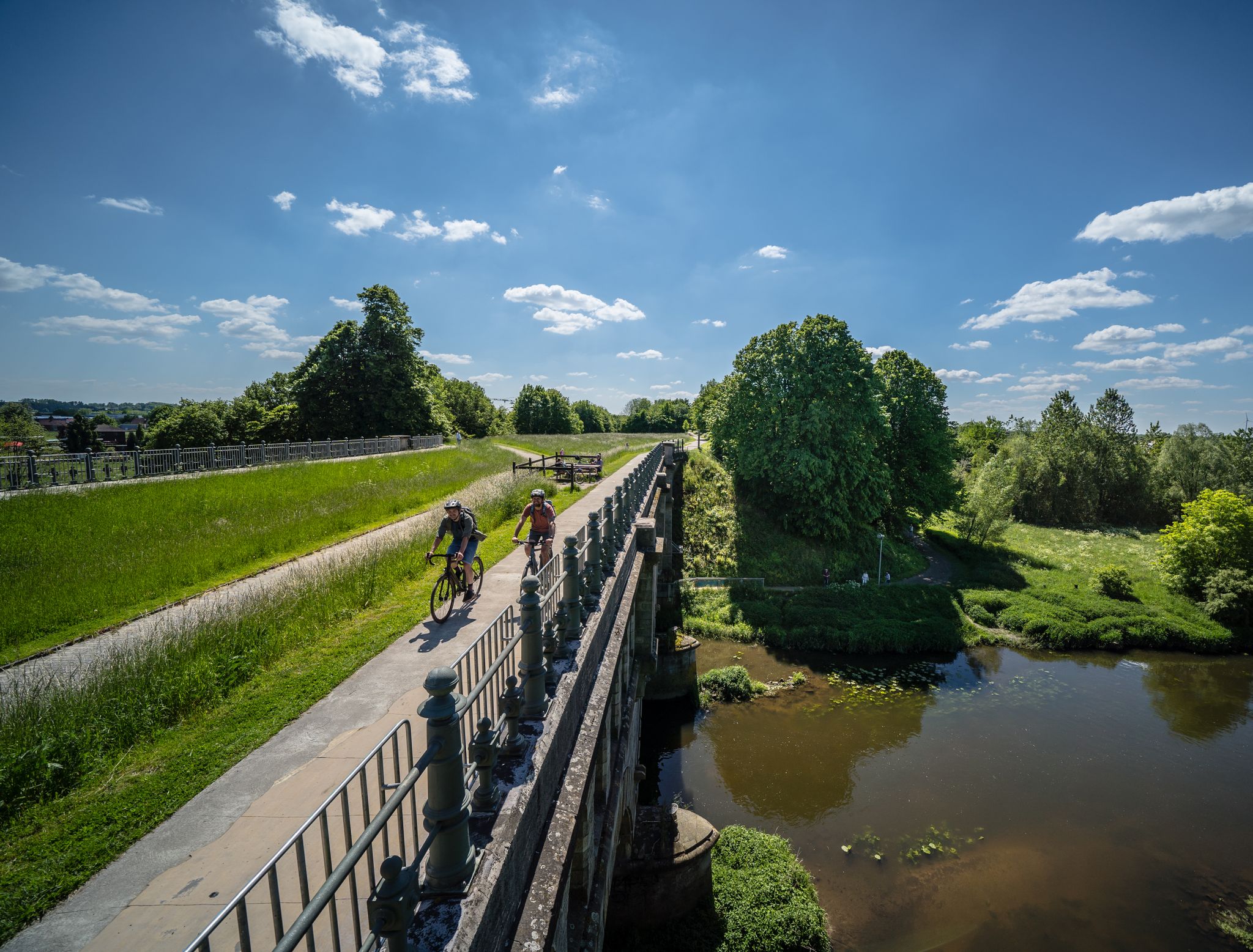
Germany’s Hohe Mark cycle route – escape into nature
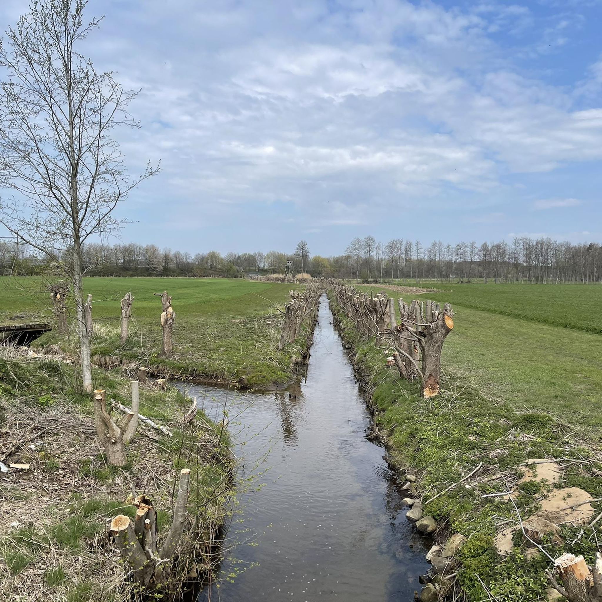
Road Cycling Routes in Bachsystem Des Wienbaches
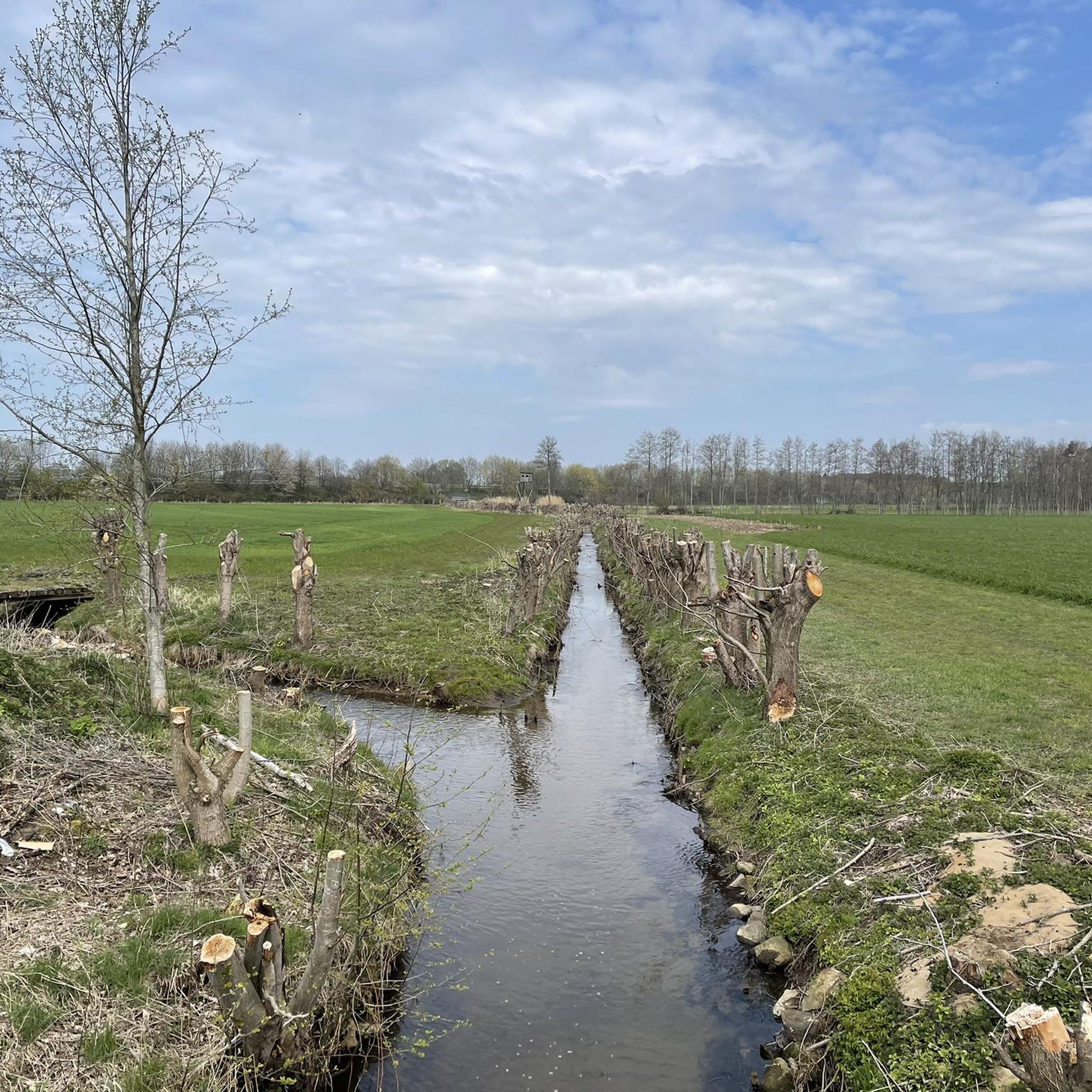
MTB Trails in Bachsystem Des Wienbaches
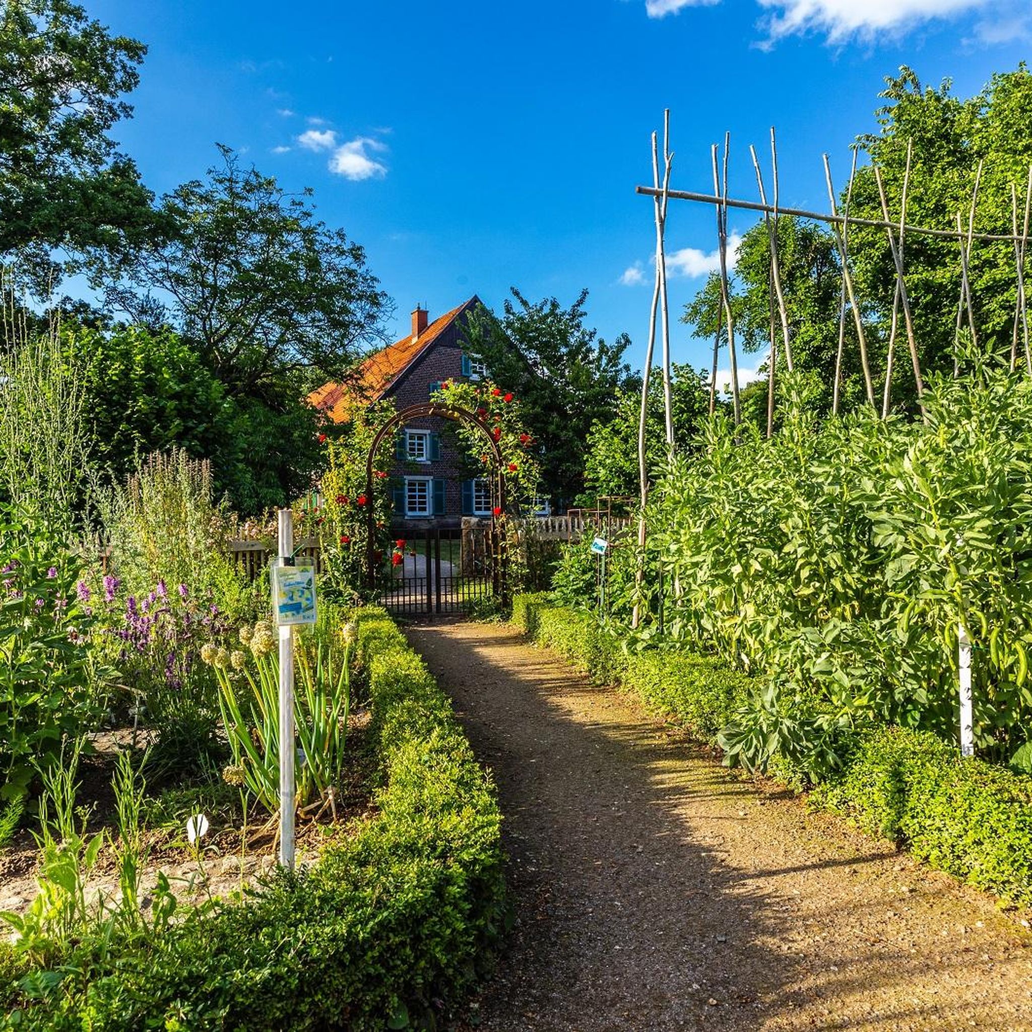
Gravel biking in Bachsystem Des Wienbaches
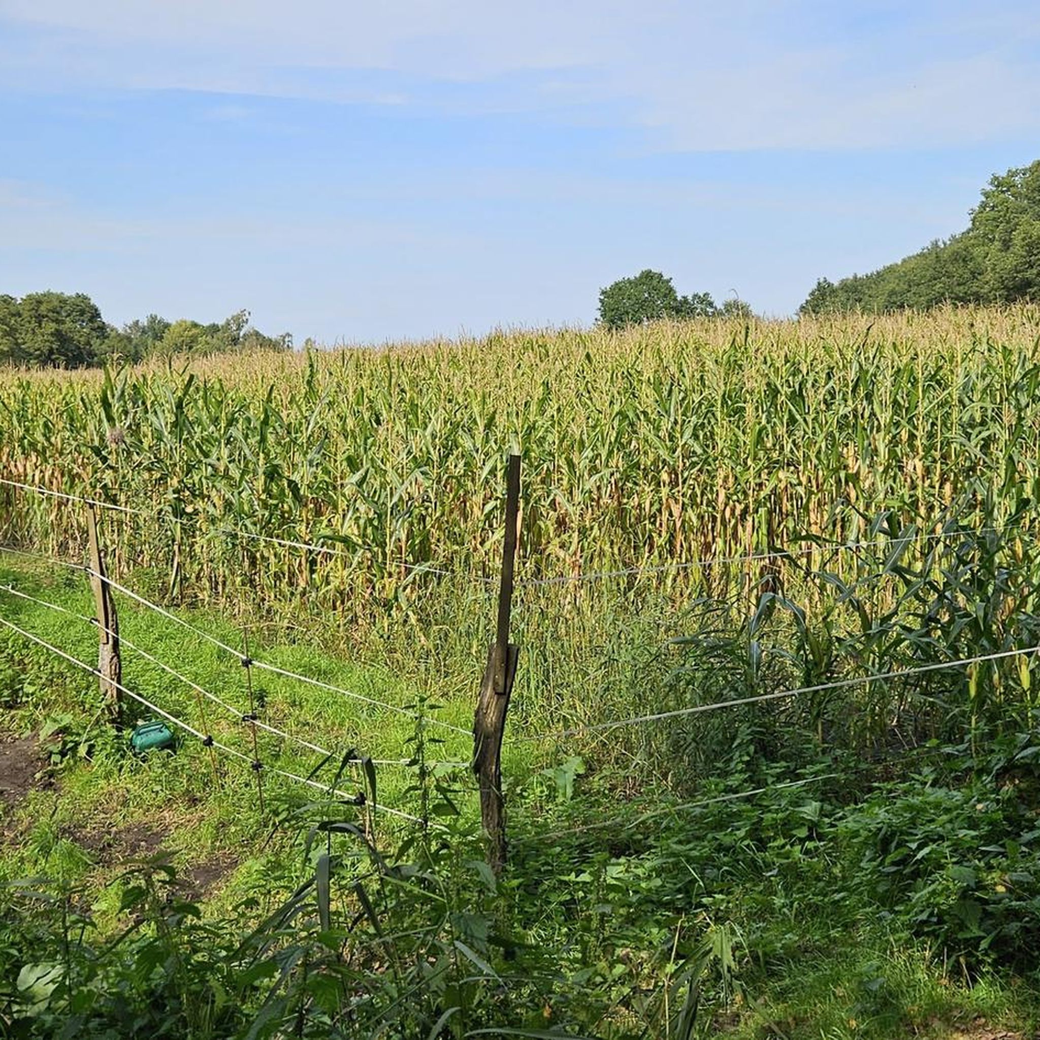
Running Trails in Bachsystem Des Wienbaches
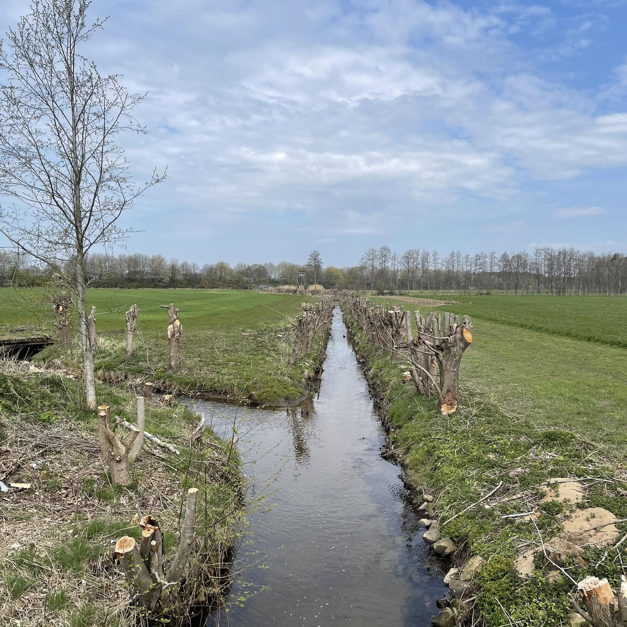
Cycling in Bachsystem Des Wienbaches
Other adventures in Bachsystem Des Wienbaches

Tips from the Community

These are the 'Witten Mountains'. Dunes that probably formed during the last ice age 😉
0
1

As already described, here I agree with the other tipsters: The surrounding nature is wonderful, the narrow paths, the springy forest floor under your feet, but the A31 motorway, the intersecting federal roads and the shooting range do not ensure maximum relaxation.
1
0

Very nice paths, lots of variety, great nature. Can recommend the area.
1
0
A boardwalk leads to the viewing point. There is a beautiful view. On the other side there is an elevated platform
0
0
Very beautiful paths. Very natural, you rarely meet anyone. The motorway is not far away, so it is not always quiet, but still very beautiful
1
1
Very beautiful and above all quiet corner in the Mark. I've never met anyone there. Beautiful path on the way to the Deutener Moors
0
0

Wonderful forest paths, varied landscape: grassland, wet meadows, boggy areas, dune heath with pine and juniper trees, some of which are being renaturalized, information boards...
2
0

Here lies the sand that was blown over from the Rhine long ago.
2
0
Frequently Asked Questions
What kind of landscape can I expect when hiking in Bachsystem Des Wienbaches?
The region is characterized by a diverse landscape of moorlands, dunes, and forested areas. You'll find gentle elevation changes, streams, and natural resting benches along the paths, offering a mix of open and wooded sections to explore.
Are there easy hiking trails suitable for beginners or families?
Yes, Bachsystem Des Wienbaches offers many easy trails. Out of over 60 routes, more than 50 are rated as easy. A great option for a shorter, gentle outing is the Deutener Moors – RVR Ruhr Grün Resting Bench loop from Tüshausmühle, which is 3.5 miles (5.6 km) long.
What are the typical lengths of hikes in Bachsystem Des Wienbaches?
Hikes in this area vary in length, catering to different preferences. You can find shorter routes around 3.3 miles (5.3 km), such as the Stork Observation Platform – Stork Nest in Hervester Bruch loop, up to longer excursions like the Witte Berge – RVR Ruhr Grün Resting Bench loop from Tüshausmühle, which is 7.8 miles (12.5 km).
Are there circular hiking routes available?
Many of the trails in Bachsystem Des Wienbaches are designed as loops, allowing you to start and end at the same point. For example, the popular View of the Deutener Moor – Witten Berge Dunes loop from Tüshausmühle is a 6.4-mile (10.4 km) circular route.
What kind of attractions can I see along the hiking trails?
The region offers several interesting sights. You might encounter wildlife such as water buffalo and Heck cattle in the Hervester Bruch. Historical sites like the Tüshausmühle Watermill and the Midlicher Mill & Mill Stream are also notable points of interest.
Is Bachsystem Des Wienbaches suitable for hiking with dogs?
Generally, natural areas like Bachsystem Des Wienbaches are welcoming to dogs. However, it's always recommended to keep your dog on a leash, especially in areas with wildlife or near agricultural land, and to check for any specific local regulations or protected zones before your visit.
What are the trail conditions like in Bachsystem Des Wienbaches?
The trails generally feature gentle paths through moorland, dunes, and wooded sections. While many are easy, some routes, like the Zebrawald (Birch Forest) – Stream at Tüshaus Mill loop, offer more varied terrain. Most paths are well-maintained, but conditions can vary with weather, so appropriate footwear is always advised.
Are there viewpoints or scenic spots along the trails?
Yes, the diverse landscape provides several scenic spots. The Viewing platform at Blauer See offers a great perspective, and the combination of moorland and dunes along routes like the View of the Deutener Moor – Witten Berge Dunes loop provides picturesque vistas.
What is the best time of year to go hiking in Bachsystem Des Wienbaches?
The region can be enjoyed year-round. Spring brings blooming flora, summer offers lush greenery, and autumn showcases vibrant colors. Even in winter, the landscape has a unique charm, though some paths might be muddy or icy. Always check local weather conditions before heading out.
What do other hikers enjoy most about hiking in Bachsystem Des Wienbaches?
The area is highly rated by the komoot community, with an average score of 4.7 stars from over 800 reviews. Hikers often praise the diverse landscapes of moorland and dunes, the well-marked paths, and the peaceful natural surroundings that make for a relaxing outdoor experience.
Is parking available near the trailheads?
Many popular routes, such as those starting from Tüshausmühle or the former Zeche Fürst Leopold, typically have designated parking areas nearby. It's advisable to check the specific tour details on komoot for parking information at your chosen trailhead.
Can I reach the hiking trails using public transport?
While some trailheads might be accessible via local bus routes, the region is generally more easily explored by car. For specific public transport options to your desired starting point, it's best to consult local transport schedules or mapping services.
Most popular routes in Bachsystem Des Wienbaches
Most popular attractions in Bachsystem Des Wienbaches

Get inspired with the komoot mobile app


Explore more
Browse the best Hikes in other regions.
