The best walks and hikes in Alte Leine
4.5
(7272)
43,499
hikers
1,779
hikes
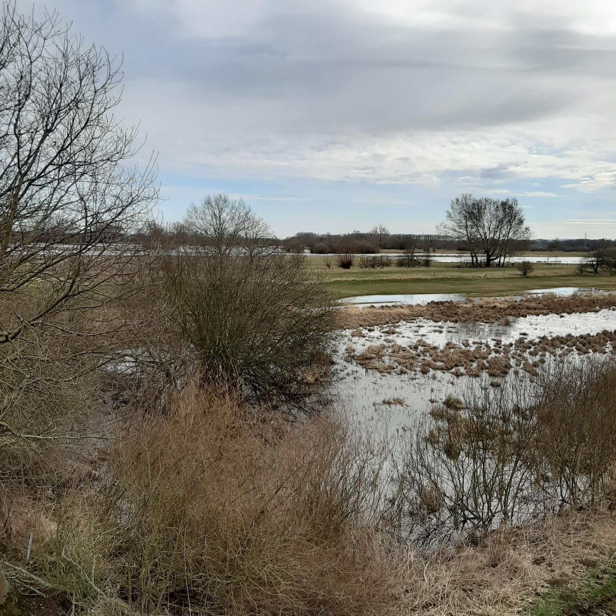
Hiking in Alte Leine offers diverse natural landscapes within the "Leineaue zwischen Hannover und Ruthe" nature reserve, located south of Hannover. The region is characterized by the meandering Alte Leine river, an former arm of the Leine, and its surrounding floodplains. Habitats include wet grasslands, swamps, and remnants of hardwood floodplain forests like the Koldinger Holz, shaped by regular floods. The area features around 400 pollarded willows and supports a rich biodiversity.
Best hiking trails in Alte Leine
- The most…
Last updated: June 26, 2026
4.4
(40)
167
hikers
5.98km
01:31
10m
10m
Easy hike. Great for any fitness level. Easily-accessible paths. Suitable for all skill levels.
4.4
(38)
160
hikers
Easy hike. Great for any fitness level. Easily-accessible paths. Suitable for all skill levels.

Sign up for free
4.7
(7)
47
hikers
5.09km
01:18
10m
20m
Easy hike. Great for any fitness level. Easily-accessible paths. Suitable for all skill levels.
4.4
(10)
66
hikers
Easy hike. Great for any fitness level. Easily-accessible paths. Suitable for all skill levels.
4.9
(15)
39
hikers
Moderate hike. Good fitness required. Easily-accessible paths. Suitable for all skill levels.
Get access to more routes and recommendations from other explorers.
Sign up for free
Already have an account?
Our route recommendations are based on thousands of hikes, rides, and runs completed by other people on komoot.
Start today with a free account
Your next adventure awaits.
Login or Signup
Tips from the Community

Great for a relaxing break
0
0

The weir was used for energy generation and has been rebuilt several times. The associated turbine system generated electricity for the factory and is now part of a former power plant that is used as a bridge.
11
0

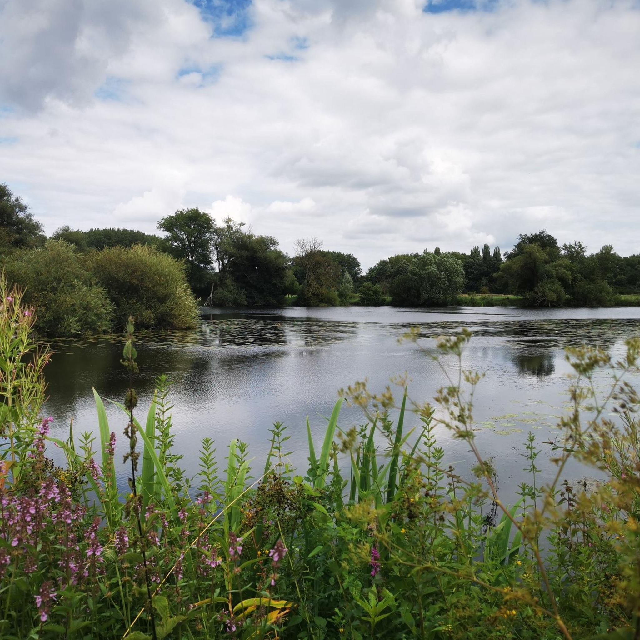
The area is primarily characterized by the Leine River, flanked by near-natural willow gallery forests and tall herbaceous meadows, as well as its partially near-natural and richly structured adjacent floodplains. In the north, there are extensive areas of agriculturally used grassland with varying levels of moisture and intensity of use. Smaller areas include scattered arable land, forest and shrub stands with varying soil moisture levels, and natural flood channels. The woody course of the meandering and heavily silted Old Leine River, with occurrences of, among others, the silt locust, is also characteristic. The southern part of the nature reserve, in contrast, is largely characterized by former marl and gravel mining waters. Riparian woody plants and small shrubs with varying levels of moisture and succession stages have developed along the banks. Agriculturally used grassland and arable land are only present in small areas here. Many landscape elements, such as oxbow lakes, remnants of floodplain forests, or even open gravel areas and steep cliffs, which occasionally form due to flooding, are valuable remnants of the former floodplain dynamics, which continue to naturally develop new habitats in the floodplain between the terrace edges on both sides of the lower terrace. The Leine River is of national importance as a supra-regional fish migration route and as a spawning and nursery water for migratory fish. Species such as brown trout, sea trout, and Atlantic salmon find habitat here. Otters and beavers also occur here. The area is also of great importance for bats, such as the greater mouse-eared bat and the pond bat. Also worth emphasizing is the national and state importance of the nature reserve as a resting area for numerous migratory bird species and as a breeding ground for various water and meadow bird species. These include, for example, the great egret, white-fronted goose, great crested grebe, gadwall, tufted duck, goldeneye, and smew. In addition to its significant importance for species and habitat conservation, the nature reserve also plays a significant role in providing environmentally friendly, peaceful recreational opportunities due to its proximity to the city, its unique diversity, uniqueness, and beauty. Source: NLWKN
0
0

Perhaps the most beautiful part of the nature reserve between Hanover and Sarstedt
0
0
The only still usable tower in the Leine floodplains between Hanover and Sarstedt
0
0
Interesting information about drinking water production. Attention: The main path marked on komoot (Jakobusweg) leads across the company premises and is therefore closed. You have to use a small natural path along the Leine, which is sure to be very muddy after long periods of rain
0
0
Proven with successful breeding for decades!
0
0
Natural water and meadow landscape - nice that this still exists near a big city
0
0
Frequently Asked Questions
How many hiking trails are available in Alte Leine?
Alte Leine offers a vast network of over 1,700 hiking routes. These trails cater to various fitness levels, ranging from easy strolls to more challenging excursions through diverse natural landscapes.
What is the best time of year to hike in Alte Leine?
The Alte Leine nature reserve is beautiful year-round. Spring and summer offer lush greenery and active wildlife, while autumn provides stunning colors. Even in winter, the trails can be enjoyed, especially along the frozen waterways and through the Koldinger Holz forest, though conditions may require appropriate gear.
What kind of terrain can I expect on hikes in Alte Leine?
Hikes in Alte Leine feature diverse terrain, including meandering paths along the former arm of the Leine river, wet grasslands, and remnants of hardwood floodplain forests. You'll encounter well-maintained trails, often flat or with minimal elevation changes, making them accessible for various fitness levels. The area is characterized by its natural waterways and rich biodiversity.
Are there easy hiking trails suitable for beginners in Alte Leine?
Yes, Alte Leine is very beginner-friendly, with over 1,300 easy routes. An excellent option is the Alte Leine Nature Reserve – View of the Alte Leine river loop from Hemmingen, which is about 5.1 km long and offers gentle paths with minimal elevation.
Are there more challenging hikes in Alte Leine?
While many trails are easy, Alte Leine does offer some moderate and a few difficult options for those seeking a greater challenge. For a moderate hike, consider the Historic Leine Crossing – Alte Leine Infiltration Basin loop from Alte Leine, which covers about 11.5 km and takes around 2 hours and 55 minutes.
Are the hiking trails in Alte Leine suitable for families with children?
Absolutely. Many trails in Alte Leine are flat and well-maintained, making them ideal for families. The diverse natural environment, with its meandering waterways and rich wildlife, offers plenty to explore for children. Look for shorter, easy loop trails for a family-friendly adventure.
Can I bring my dog on hikes in Alte Leine?
Yes, dogs are generally welcome on the hiking trails in Alte Leine. It's a great area for walks with your canine companion, offering varied scents and open spaces. Please ensure your dog is kept on a leash, especially in nature reserve areas, to protect wildlife and respect other visitors.
Are there circular hiking routes in Alte Leine?
Yes, Alte Leine features many popular circular hiking routes. For example, the Bench by the Langer Teich – Alte Leine Water Lily Pond loop from Hanover Fairground is an easy 5.1 km loop that explores areas around the Langer Teich and a water lily pond.
What natural features or landmarks can I see while hiking in Alte Leine?
While hiking, you can explore the meandering Alte Leine river, wet grasslands, and remnants of hardwood floodplain forests like the Koldinger Holz. Keep an eye out for the approximately 400 pollarded willows, which are characteristic of the area. You might also spot diverse bird species, otters, and beavers. Notable highlights include the Alte Leine Nature Reserve itself and the Long Pond.
Are there any viewpoints along the trails in Alte Leine?
Yes, there are several spots offering scenic views. You can find the Observation Tower Alte Leine Nature Reserve, which provides elevated perspectives of the surrounding landscape. Additionally, the Steinfeldsee Observation Platform offers views over the lake and its natural surroundings.
What do other hikers enjoy most about hiking in Alte Leine?
The area is highly rated by the komoot community, with an average score of 4.6 stars from over 6,800 reviews. Hikers often praise the peaceful natural environment, the well-maintained paths, and the rich biodiversity, making it a perfect escape for nature lovers. The variety of easy, accessible routes is also frequently highlighted.
Is there public transport access to the hiking areas in Alte Leine?
Yes, the Alte Leine region, located south of Hannover, is generally accessible via public transport, especially from nearby towns like Laatzen, Hemmingen, and Pattensen. It's advisable to check local bus or tram schedules to find the most convenient access points to the trailheads.
Most popular routes in Alte Leine
Most popular attractions in Alte Leine

Get inspired with the komoot mobile app


Explore more
Browse the best Hikes in other regions.
