The best walks and hikes in Trunnenmoor
4.5
(2095)
8,109
hikers
583
hikes
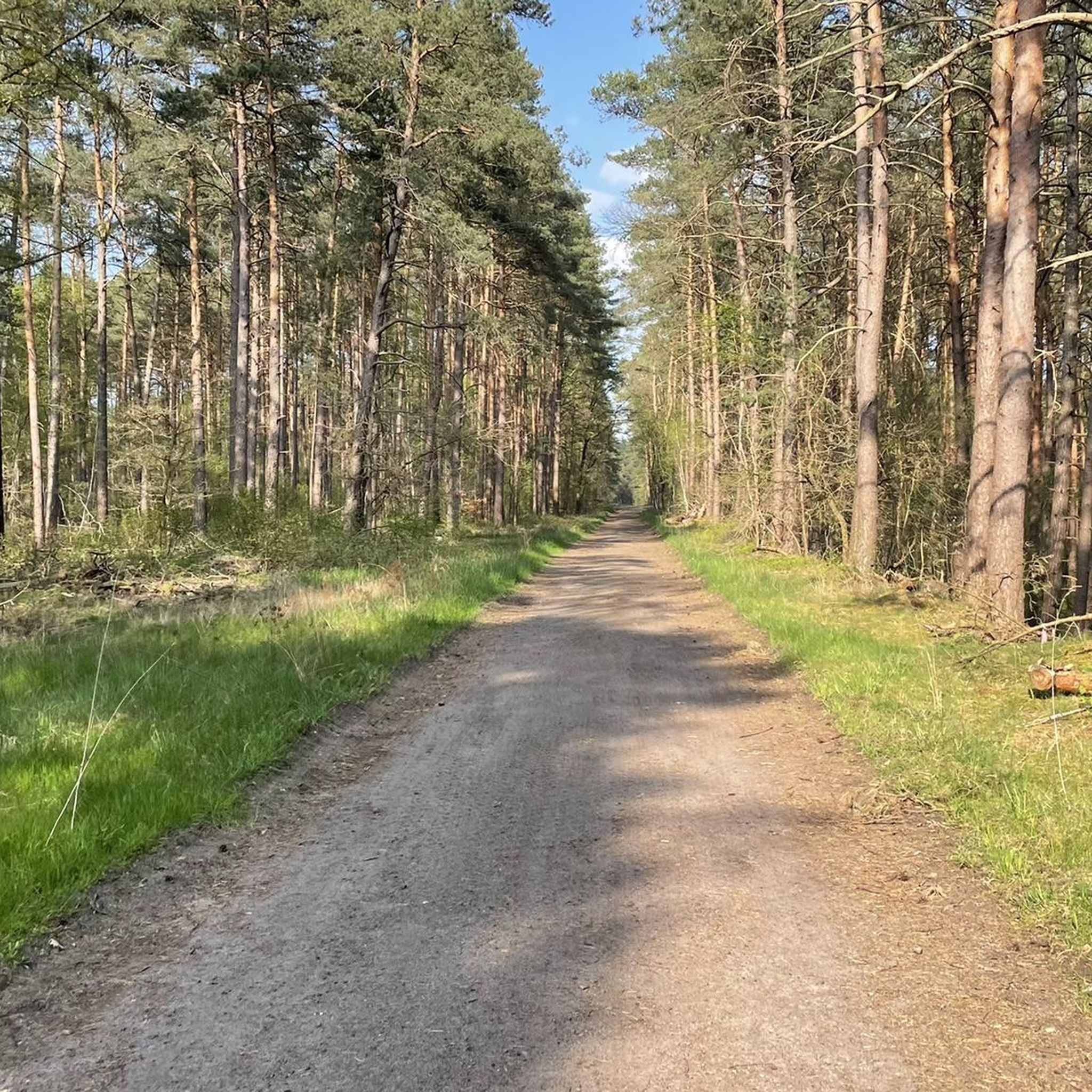
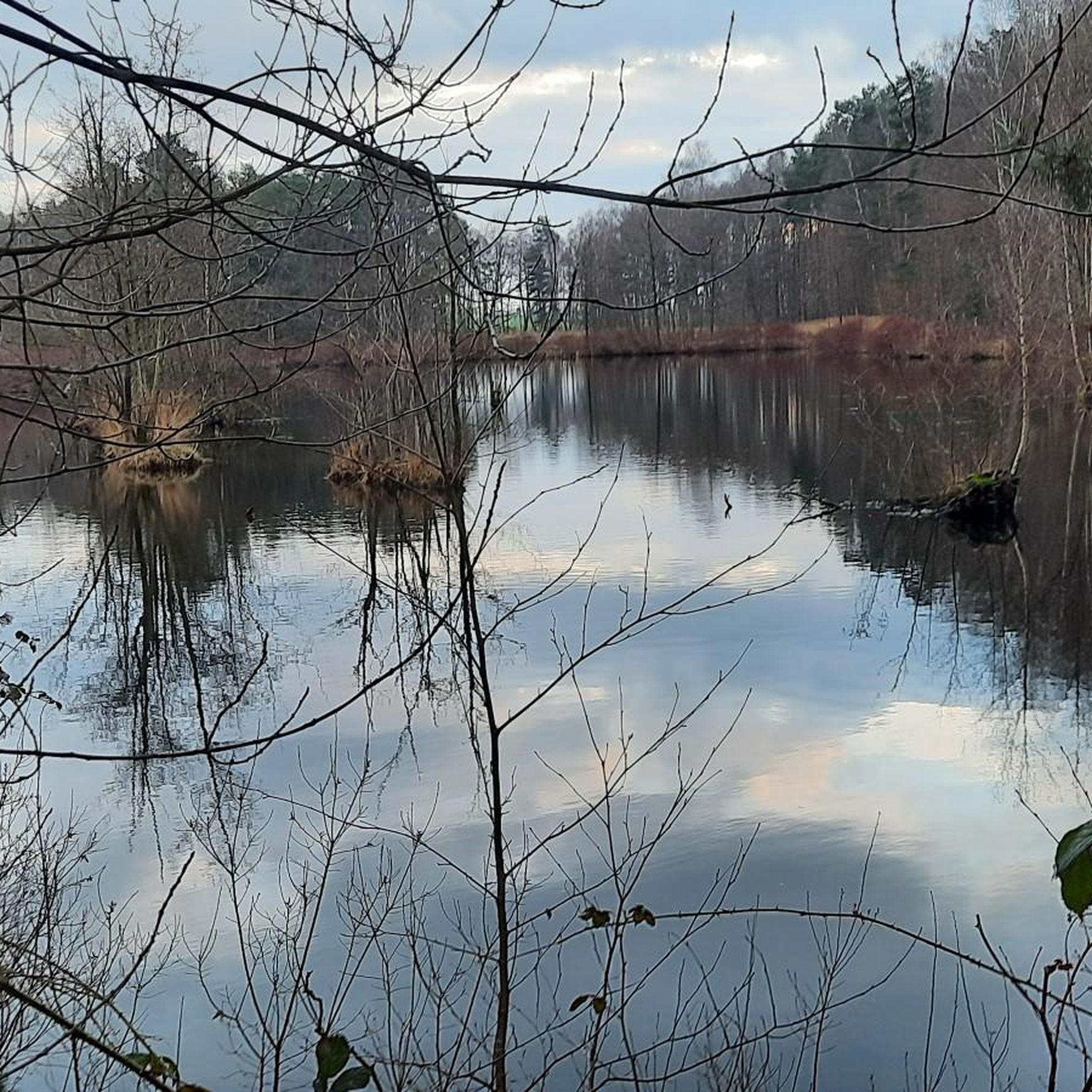
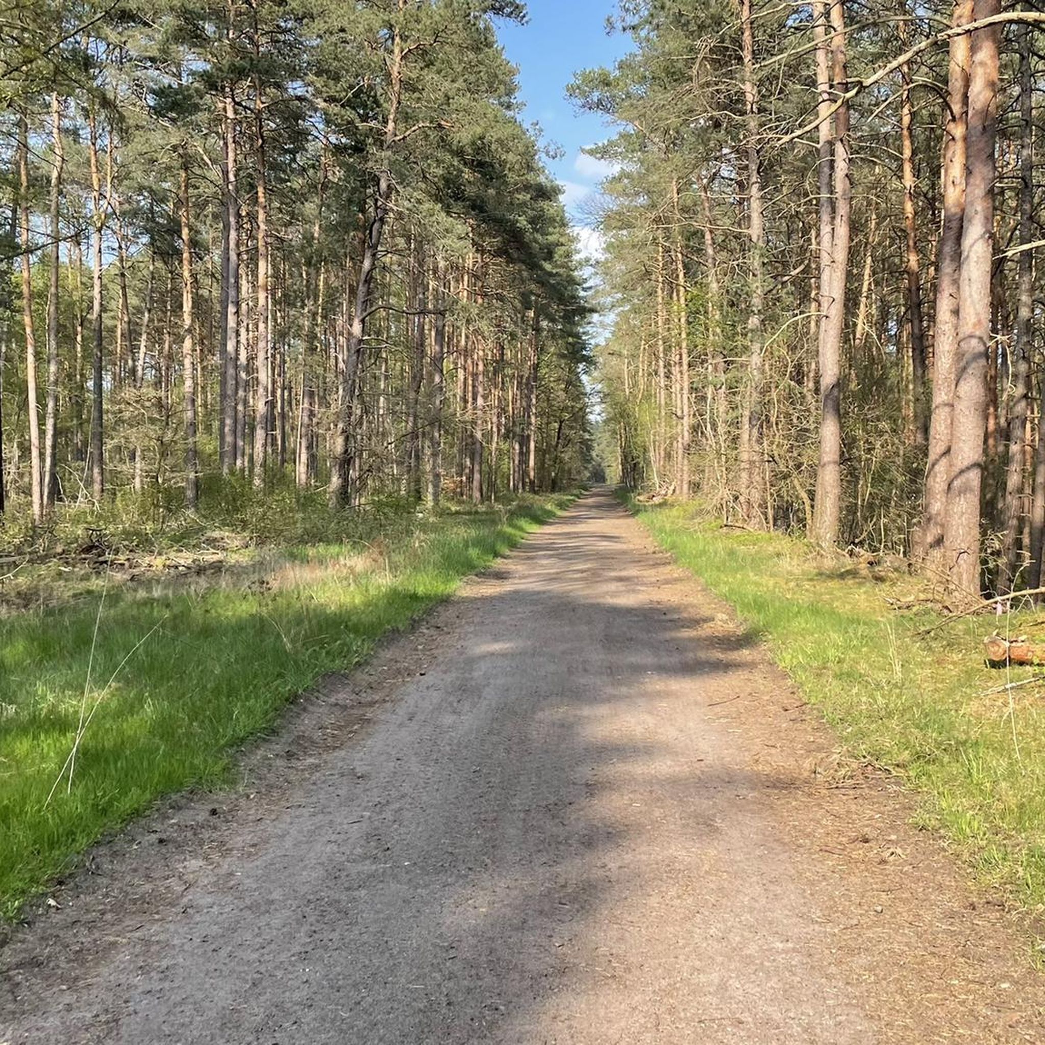
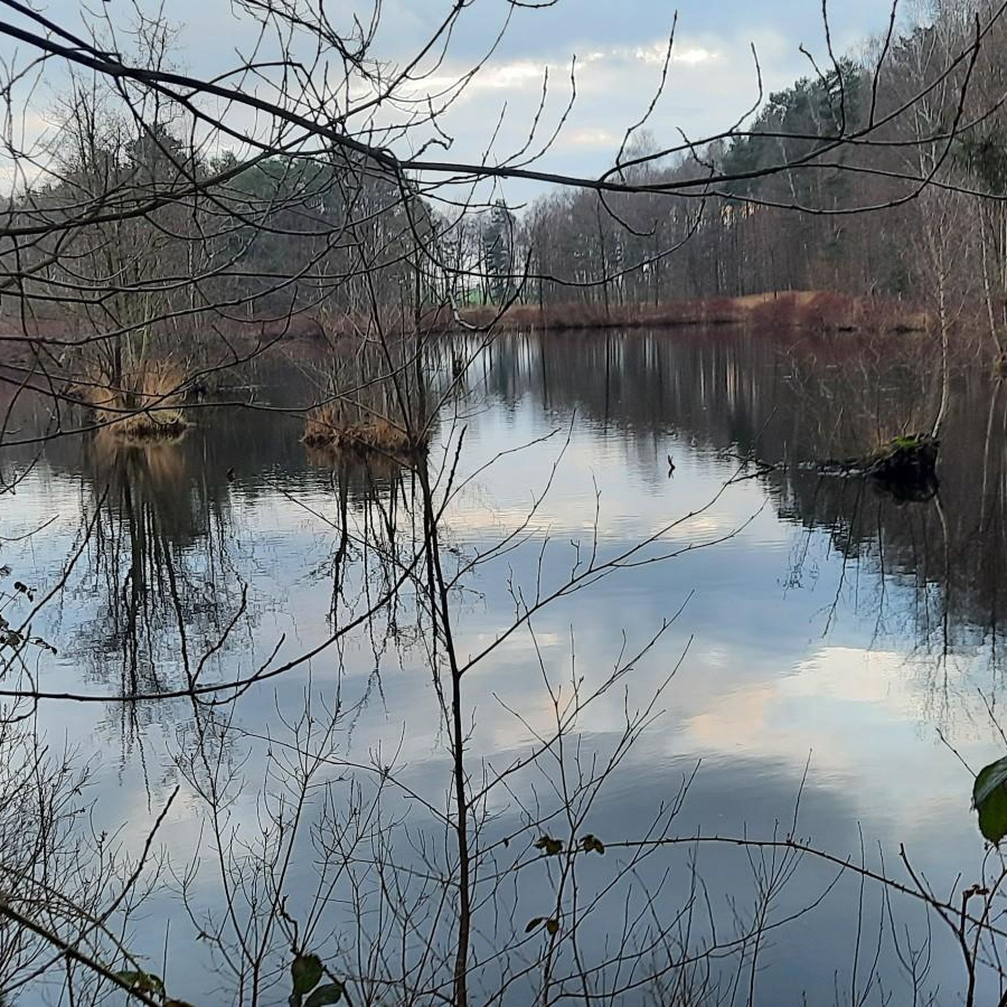
Hiking trails in Trunnenmoor traverse a flat, natural landscape characterized by extensive pine forests, open moorland, and small water bodies. The region, part of the Region Hannover, features minimal elevation changes, with most routes gaining less than 20 meters. This terrain makes it suitable for accessible walks and longer, gentle excursions through varied natural settings.
Best hiking trails in Trunnenmoor
- The most popular hiking route is Trunnenmoor Nature Reserve – View of the Pine Forest loop from Heidewinkel, a…
Last updated: June 26, 2026
4.3
(11)
27
hikers
Easy hike. Great for any fitness level. Easily-accessible paths. Suitable for all skill levels.
5.0
(4)
9
hikers
Moderate hike. Good fitness required. Easily-accessible paths. Suitable for all skill levels.

Sign up for free
4.6
(11)
53
hikers
Easy hike. Great for any fitness level. Easily-accessible paths. Suitable for all skill levels.
3.7
(3)
12
hikers
Moderate hike. Good fitness required. Easily-accessible paths. Suitable for all skill levels.
3.0
(1)
13
hikers
Easy hike. Great for any fitness level. Easily-accessible paths. Suitable for all skill levels.
Get access to more routes and recommendations from other explorers.
Sign up for free
Already have an account?
Our route recommendations are based on thousands of hikes, rides, and runs completed by other people on komoot.
Start today with a free account
Your next adventure awaits.
Login or Signup
Tips from the Community

Great place. It also seems that there is a tavern or at least a sales stand again. It's worth checking it out there.
0
0

Interesting how culture and nature merge
0
0
Interesting how culture and nature merge
0
0
Interesting how culture and nature merge
0
0
Interesting how culture and nature merge
0
0

The dynamic changes in nature throughout the year are particularly beautiful to observe right from the path here. After heavy rains, the forest is extensively flooded; during frost, it transforms into a glittering ice landscape; and when it gets really hot outside in the fields, this is a pleasantly cool place. At dusk in summer, there's another very special spectacle that will keep you glued to your seat: mosquitoes, mosquitoes, mosquitoes.
1
0

Unfortunately, the bank is slowly falling into disrepair…
0
0
What was that once? I'm guessing it was a tree playhouse in its final stages of existence 🤭 The clearing leading up to the Bahlsen hunting lodge is easily accessible...
0
0
Frequently Asked Questions
How many hiking trails are available in Trunnenmoor?
Trunnenmoor offers a wide selection of hiking routes, with over 580 trails recorded on komoot. The majority of these are easy to moderate, making the region accessible for various fitness levels.
What is the typical terrain and difficulty level for hiking in Trunnenmoor?
The terrain in Trunnenmoor is predominantly flat, characterized by extensive pine forests, open moorland, and small water bodies. Most routes have minimal elevation changes, typically less than 20 meters. This makes the trails generally easy to moderate, with 389 easy and 184 moderate routes available.
Are there any family-friendly hiking routes in Trunnenmoor?
Yes, Trunnenmoor's flat and accessible trails are ideal for families. Many of the easy routes are suitable for children. A good option is the Art Installations at Würmsee – Würmsee loop from Trunnenmoor, an easy 2.2-mile (3.6 km) trail that takes about 55 minutes to complete and offers interesting sights around the Würmsee.
Are dogs allowed on the hiking trails in Trunnenmoor?
Trunnenmoor is generally dog-friendly, with many trails suitable for walks with your canine companion. Given the presence of nature reserves and wildlife, it's always recommended to keep dogs on a leash to protect local flora and fauna. The Trunnenmoor Nature Reserve – View of the Pine Forest loop from Heidewinkel is a popular easy route that many dog owners enjoy.
What natural features or landmarks can I see while hiking in Trunnenmoor?
Hikers in Trunnenmoor can explore several natural highlights. The region is home to the Trunnenmoor Nature Reserve and the Kienmoor Nature Reserve, offering views of pine forests and moorland. You might also encounter the Wildlife Protection Zone Trunnenmoor and a Bird Watching Station, providing opportunities to observe local wildlife.
Are there many circular hiking routes in Trunnenmoor?
Yes, Trunnenmoor features a good selection of circular routes, which are popular for their convenience. An example is the Trunnenmoor Nature Reserve – Kienmoor Nature Reserve loop from Trunnenmoor, a moderate 6.3-mile (10.2 km) trail that allows you to experience both nature reserves without retracing your steps.
What is the best time of year to go hiking in Trunnenmoor?
Trunnenmoor is enjoyable for hiking throughout much of the year. Spring and autumn offer pleasant temperatures and beautiful scenery, with autumn bringing vibrant colors to the pine forests. Summer is also suitable, though some areas might be more exposed to the sun. Winter hiking is possible, but conditions can be damp or frosty, so appropriate footwear and clothing are essential.
Is public transport available to access hiking trails in Trunnenmoor?
While specific public transport options directly to every trailhead may vary, the Trunnenmoor region is part of the Region Hannover, which has a public transport network. It's advisable to check local bus schedules for connections to villages or entry points near the nature reserves. Many trails are also accessible by car, with parking often available.
What do other hikers enjoy most about Trunnenmoor?
The komoot community highly rates hiking in Trunnenmoor, with an average score of 4.6 stars from over 1900 reviews. Hikers frequently praise the tranquil forest environments, the well-maintained paths, and the opportunity to immerse themselves in nature. The flat terrain is often highlighted as a positive for relaxed and accessible walks.
Are there any longer, more challenging hikes in Trunnenmoor?
While Trunnenmoor is known for its generally easy terrain, there are longer routes that offer a more extended experience. For example, the Bench by the Forest Path – Forest path behind the Trunnenmoor loop from Trunnenmoor is a moderate 5.1-mile (8.2 km) path that leads through a quiet forest, providing a good option for those seeking a longer, gentle excursion.
Are there any cafes or places to eat near the hiking trails in Trunnenmoor?
Trunnenmoor is primarily a natural area, so amenities like cafes might not be directly on every trail. However, the surrounding villages and towns within the Region Hannover will offer various dining options. It's recommended to pack snacks and drinks for your hike, especially for longer routes, and plan to visit a local establishment before or after your excursion.
Most popular routes in Trunnenmoor
Most popular attractions in Trunnenmoor

Get inspired with the komoot mobile app


Explore more
Browse the best Hikes in other regions.
