The best walks and hikes in Sülzensee – Mackenröder Wald
4.6
(15312)
50,982
hikers
896
hikes
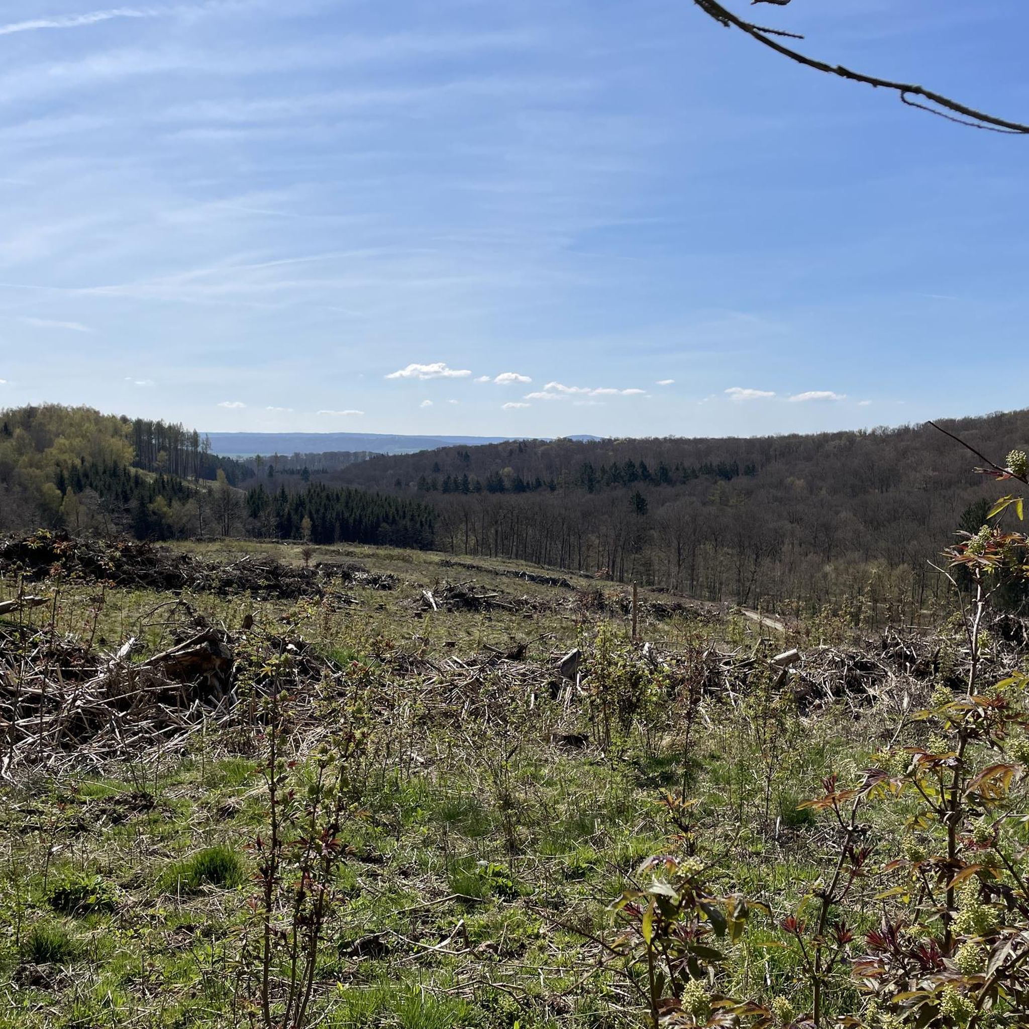
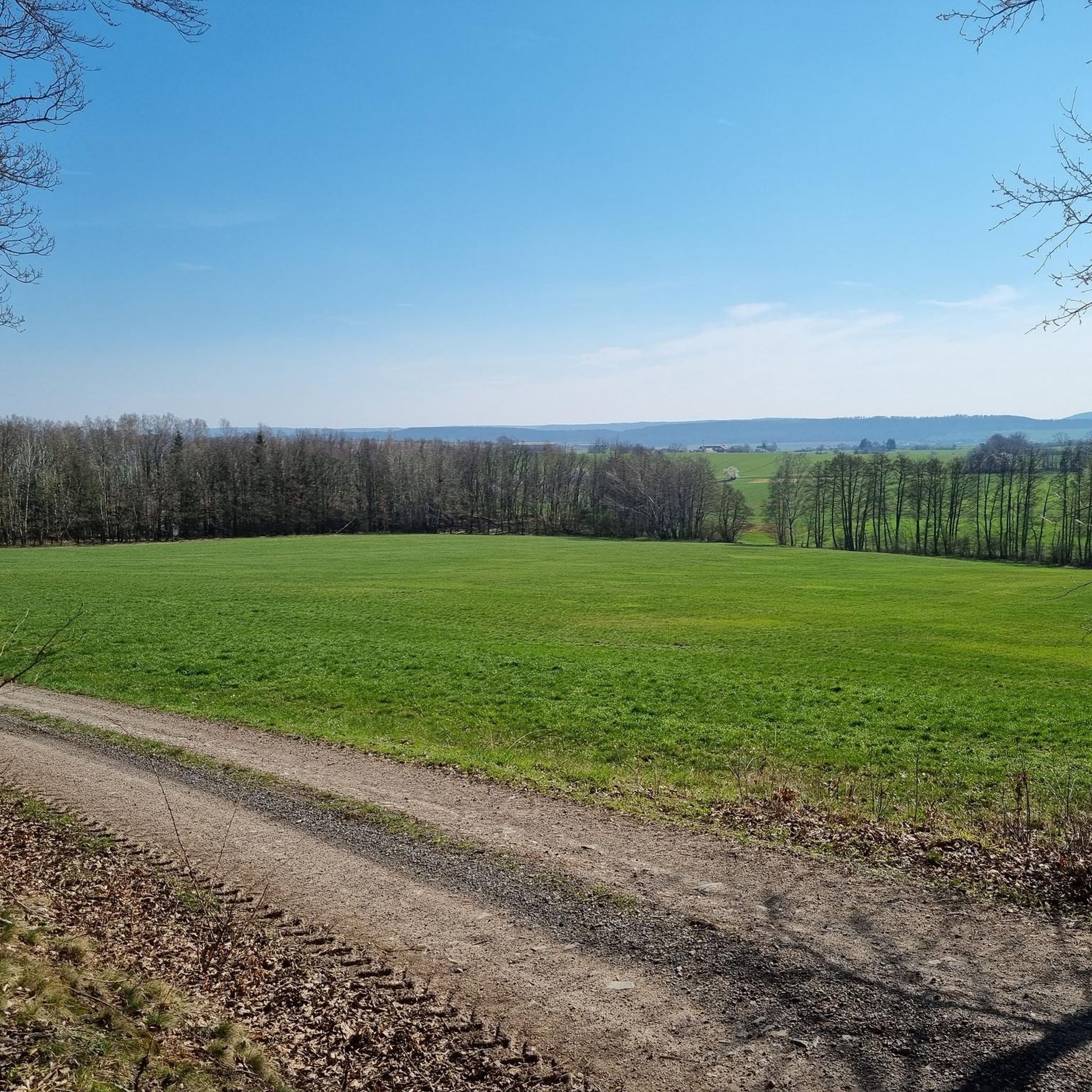
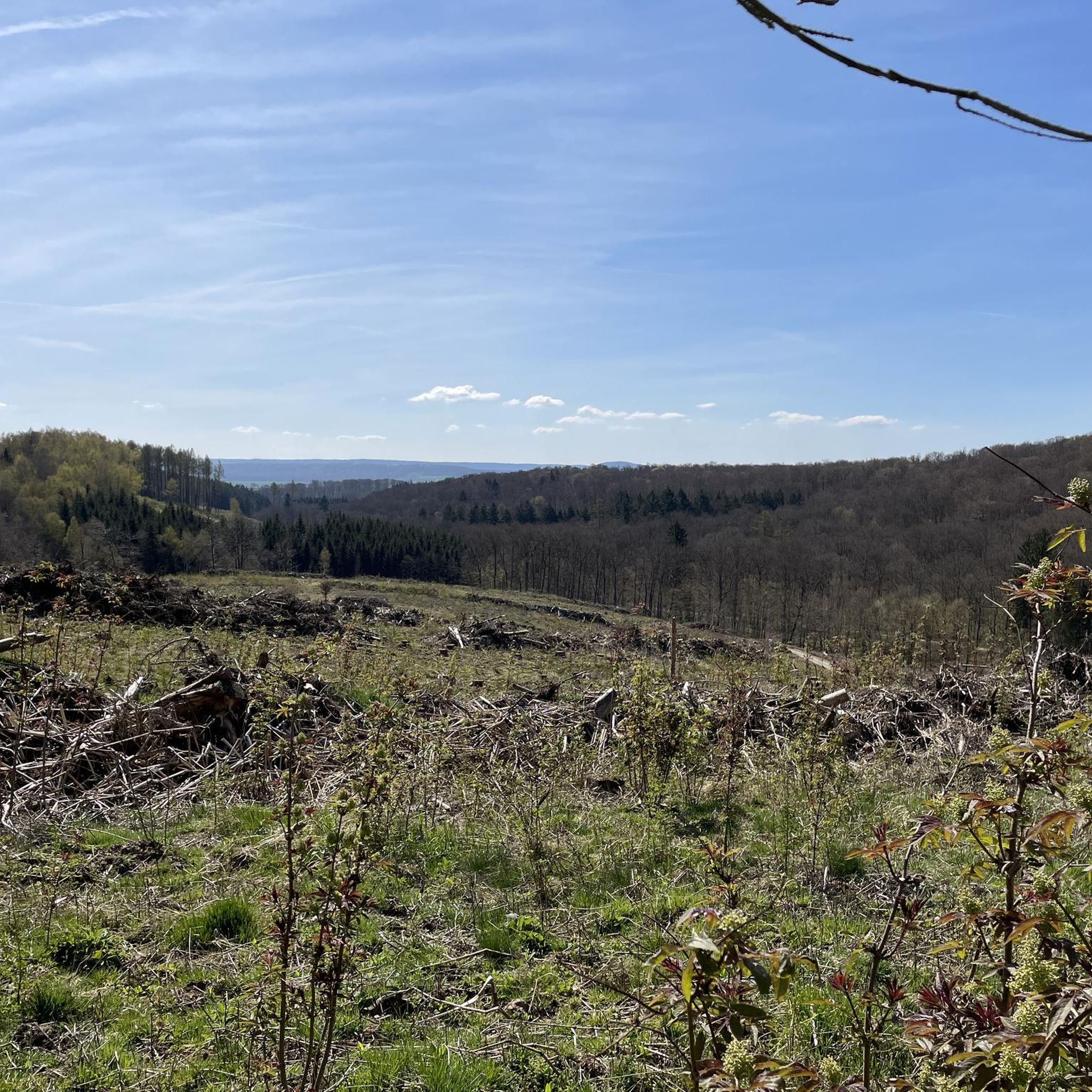
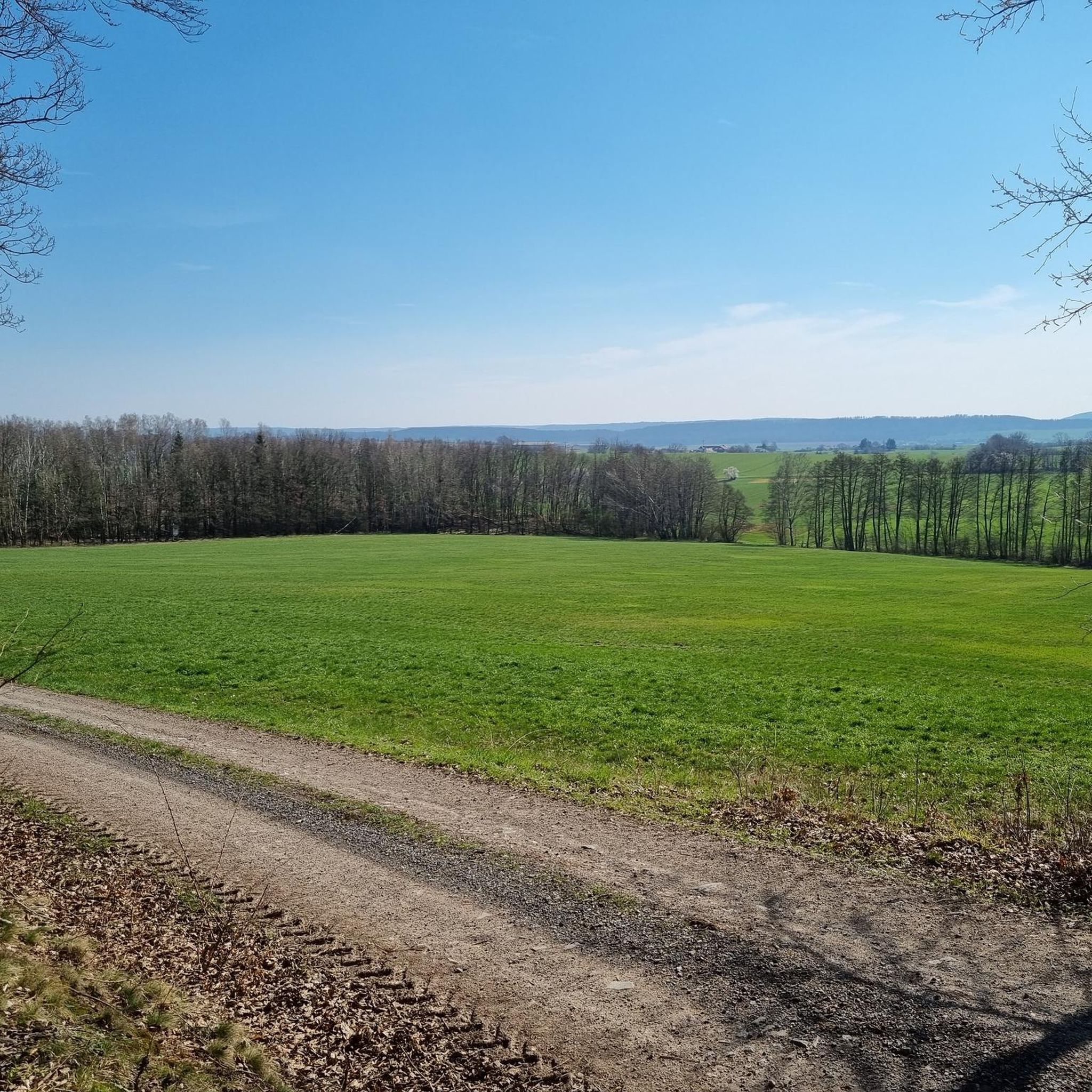
Hiking trails in Sülzensee – Mackenröder Wald traverse a diverse landscape within Thuringia, Germany. This region is part of Central Europe's largest gypsum karst area, featuring unique geological formations and specific plant life. Lush forests define much of the terrain, offering a serene natural experience. The Sülzensee and the prominent Römerstein rock formation, a 345-meter-high elevation, are key natural features.
Best hiking trails in Sülzensee – Mackenröder Wald
- The most popular hiking route is Sülzensee – Large Old Oak loop…
Last updated: October 7, 2026
4.9
(8)
19
hikers
6.20km
01:39
60m
60m
Easy hike. Great for any fitness level. Easily-accessible paths. Suitable for all skill levels.
3
hikers
6.27km
01:41
70m
70m
Easy hike. Great for any fitness level. Easily-accessible paths. Suitable for all skill levels.

5.0
(1)
2
hikers
7.07km
01:56
110m
110m
Easy hike. Great for any fitness level. Easily-accessible paths. Suitable for all skill levels.
5.0
(2)
3
hikers
11.2km
03:01
140m
140m
Moderate hike. Good fitness required. Easily-accessible paths. Suitable for all skill levels.
4.5
(2)
11
hikers
7.95km
02:07
90m
90m
Moderate hike. Good fitness required. Easily-accessible paths. Suitable for all skill levels.
Get access to more routes and recommendations from other explorers.
Already have an account?
Our route recommendations are based on thousands of hikes, rides, and runs completed by other people on komoot.
Start today with a free account
Your next adventure awaits.
Popular around Sülzensee – Mackenröder Wald


Tips from the Community

Nice spur trail into the former quarry
0
0
Interesting path through the former quarry at Trogstein
0
0
The train station was a few hundred meters further east
0
0
There is almost nothing left to see of the station facilities
0
0
Interesting rocks that you can get a little closer to on steep paths. However, you should wear proper shoes so you don't slip.
0
0

The gypsum karst area in the southern Harz is the largest and most important gypsum karst area in Central Europe.
7
0
The Römerstein is a 345 m high hill in the southern Harz. The rocky hill rises about 50 meters above the surrounding area. It is the remains of a coral reef from the Zechstein Sea that is about 250 million years old. The rock massif is made up of five rocks or groups of rocks that are close to each other
8
0
Frequently Asked Questions
What kind of landscape can I expect when hiking in Sülzensee – Mackenröder Wald?
The Sülzensee – Mackenröder Wald region is characterized by lush forests and is part of Central Europe's largest and most significant gypsum karst region. This unique geology creates a distinctive landscape with specific plant and animal life. You'll also find the scenic Sülzensee and the prominent Römerstein rock formation, a 345-meter-high elevation, adding to the natural beauty.
How many hiking trails are available in Sülzensee – Mackenröder Wald?
There are over 900 hiking routes available in Sülzensee – Mackenröder Wald, catering to a wide range of preferences and fitness levels. The komoot community has explored this varied terrain over 49,000 times.
Are there easy hiking options suitable for beginners or casual walkers?
Yes, Sülzensee – Mackenröder Wald offers many easy trails. Nearly half of all routes, over 460, are classified as easy. An example is the Large Old Oak loop from Weißensee und Steinatal, an easy 6.3 km path that offers a gentle walk through the woodlands.
What are some notable natural features or landmarks to look out for on the trails?
Hikers can explore the unique gypsum karst landscape and visit the Römerstein rock formation, a prominent natural attraction. The Sülzensee itself is also a significant natural feature, enhancing the scenic beauty of the area. Consider the Römerstein Rock Formation – Römerstein loop from Weißensee und Steinatal to experience these features.
Are there any moderate hiking trails for those looking for a bit more challenge?
Absolutely. Over 400 routes in Sülzensee – Mackenröder Wald are rated as moderate. For instance, the Sülzensee – Large Hunting Tower loop from Mackenrode is a moderate 11.2 km hike, typically completed in just over 3 hours, offering a longer exploration of the area.
Are there circular hiking routes available in the region?
Yes, many of the trails in Sülzensee – Mackenröder Wald are circular routes, allowing you to start and end at the same point. An example is the Römerstein – Shelter at Römerstein loop from Mackenrode, an 8.8 km moderate route that explores the Römerstein area.
What do other hikers say about the trails in Sülzensee – Mackenröder Wald?
The trails in Sülzensee – Mackenröder Wald are highly regarded by the komoot community, holding an average rating of 4.6 stars from over 13,500 reviews. Hikers often praise the serene natural experience offered by the lush forests and the distinctive gypsum karst formations.
Is Sülzensee – Mackenröder Wald suitable for family hikes?
Yes, the region offers many easy and well-marked paths that are suitable for families. The diverse landscape and natural features like the Sülzensee provide an engaging environment for children. Many of the shorter, easy loops are ideal for family outings.
Can I bring my dog on the hiking trails?
Generally, dogs are welcome on the hiking trails in Sülzensee – Mackenröder Wald. As with any natural area, it's advisable to keep dogs on a leash, especially in nature reserve areas, to protect local wildlife and ensure a pleasant experience for all hikers.
What is the best time of year to go hiking in Sülzensee – Mackenröder Wald?
Thuringia, known as the 'Green Heart of Germany,' is beautiful throughout the warmer months. Spring brings blooming flora, summer offers lush green forests, and autumn showcases vibrant foliage. While specific winter conditions can vary, the area's forests and unique geology make it appealing across multiple seasons, though some paths might be more challenging in snow or ice.
Are there parking facilities available at the trailheads?
While specific parking details for every trailhead are not provided here, the popularity of hiking in Sülzensee – Mackenröder Wald suggests that designated parking areas are generally available near common starting points in towns like Mackenrode or Weißensee und Steinatal. It's always recommended to check local signage upon arrival.
What is the typical terrain like on the hiking trails?
The terrain in Sülzensee – Mackenröder Wald is primarily characterized by forest paths, often through lush woodlands. Given its location within a gypsum karst region, you might encounter unique geological formations and varied ground underfoot, but many routes are designed for accessibility and offer a pleasant walking experience.
Most popular routes in Sülzensee – Mackenröder Wald

Get inspired with the komoot mobile app


Explore more
Browse the best Hikes in other regions.
