Gipskarstlandschaft Bad Sachsa Und Walkenried
Gipskarstlandschaft Bad Sachsa Und Walkenried
The best mountain hikes in Gipskarstlandschaft Bad Sachsa Und Walkenried
4.0
(2)
12
hikers
6
hikes
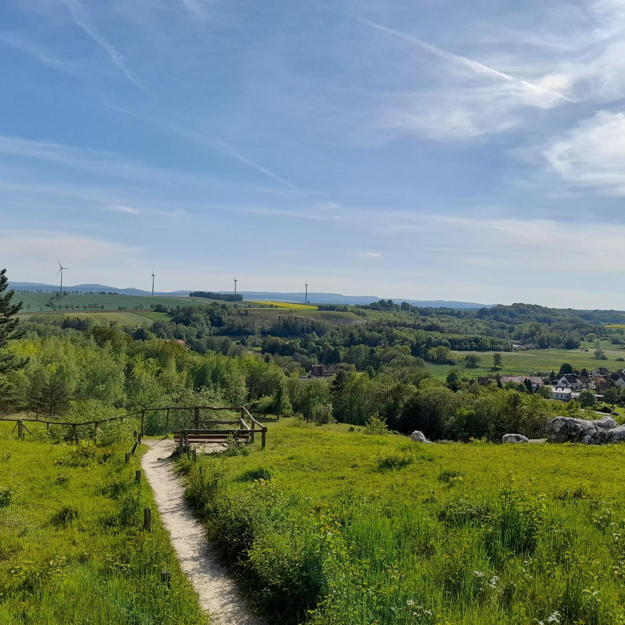
Mountaineering routes in Gipskarstlandschaft Bad Sachsa Und Walkenried traverse a distinctive gypsum karst landscape, characterized by unique geological formations such as sinkholes, karst springs, and gypsum rocks. The region features a network of trails through ancient beech forests and varied terrain. While not suited for technical climbing, the area offers challenging hikes and opportunities to explore its natural environment. These routes provide diverse experiences for outdoor enthusiasts.
Best mountaineering routes in Gipskarstlandschaft Bad Sachsa Und Walkenried
- The most popular mountaineering…
Last updated: July 10, 2026
8.34km
02:34
310m
310m
Moderate mountaineering route. Good fitness required. Easily-accessible paths. Suitable for all skill levels.
1
hikers
14.1km
04:15
460m
460m
Moderate mountaineering route. Good fitness required. Easily-accessible paths. Suitable for all skill levels.

Sign up for free
3
hikers
9.36km
02:57
340m
340m
Moderate mountaineering route. Good fitness required. Mostly accessible paths. Sure-footedness required.
3.0
(1)
2
hikers
Moderate mountaineering route. Good fitness required. Mostly accessible paths. Sure-footedness required.
5.0
(1)
3
hikers
Hard mountaineering route. Very good fitness required. Mostly accessible paths. Sure-footedness required.
Our route recommendations are based on thousands of hikes, rides, and runs completed by other people on komoot.
Start today with a free account
Your next adventure awaits.
Login or Signup
Popular around Gipskarstlandschaft Bad Sachsa Und Walkenried
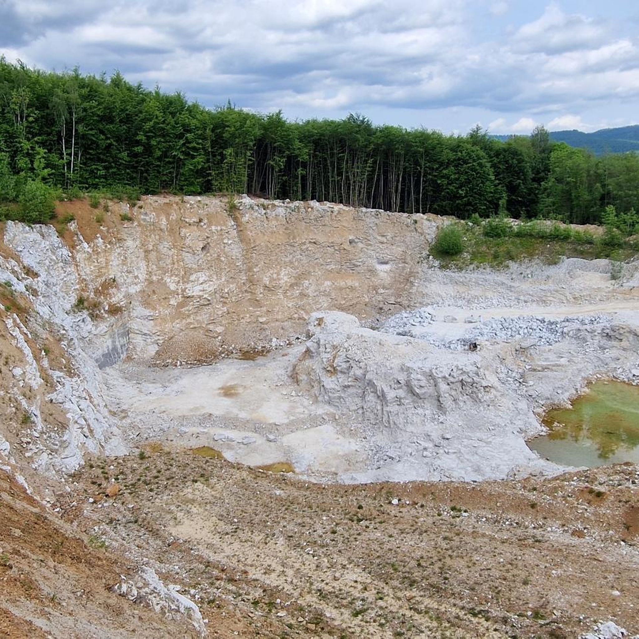
Hiking in Gipskarstlandschaft Bad Sachsa Und Walkenried
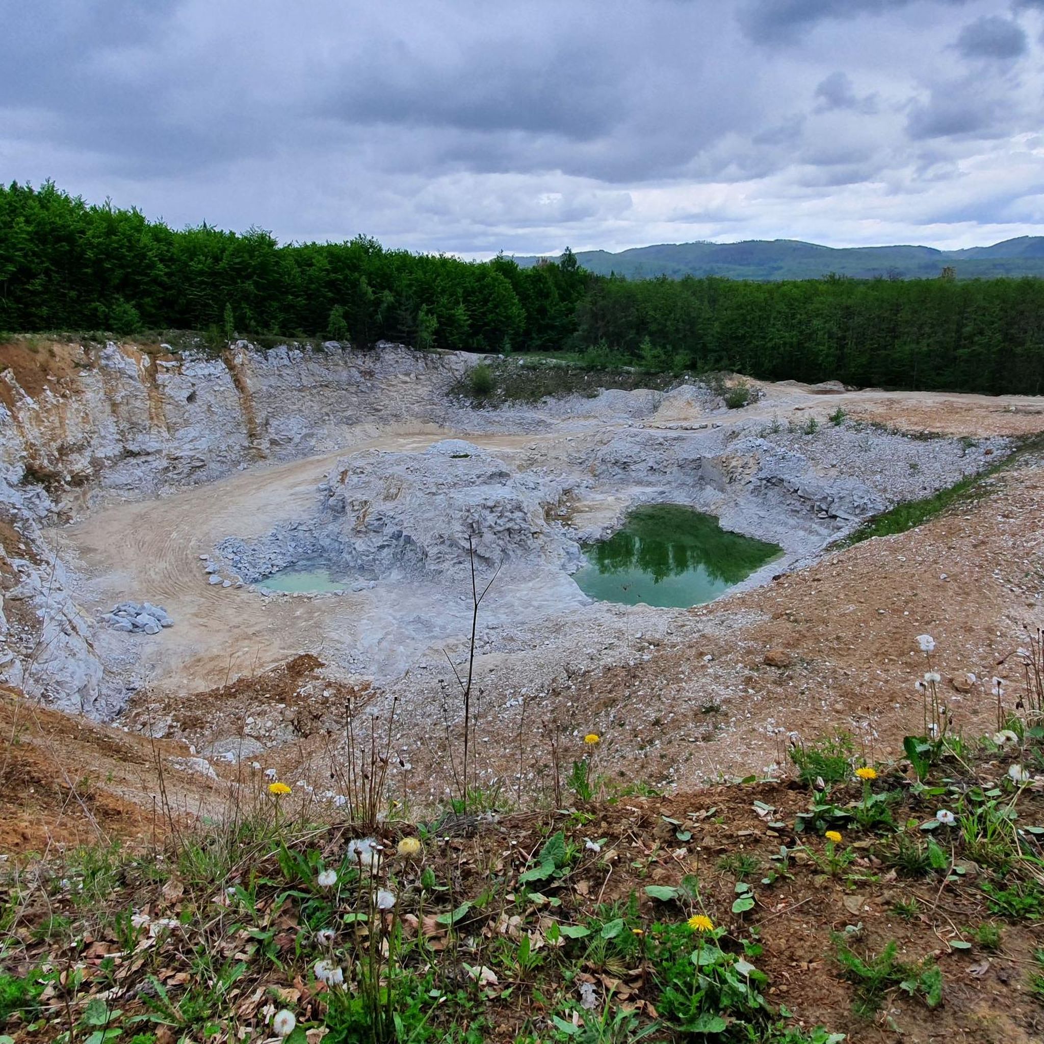
Cycling in Gipskarstlandschaft Bad Sachsa Und Walkenried
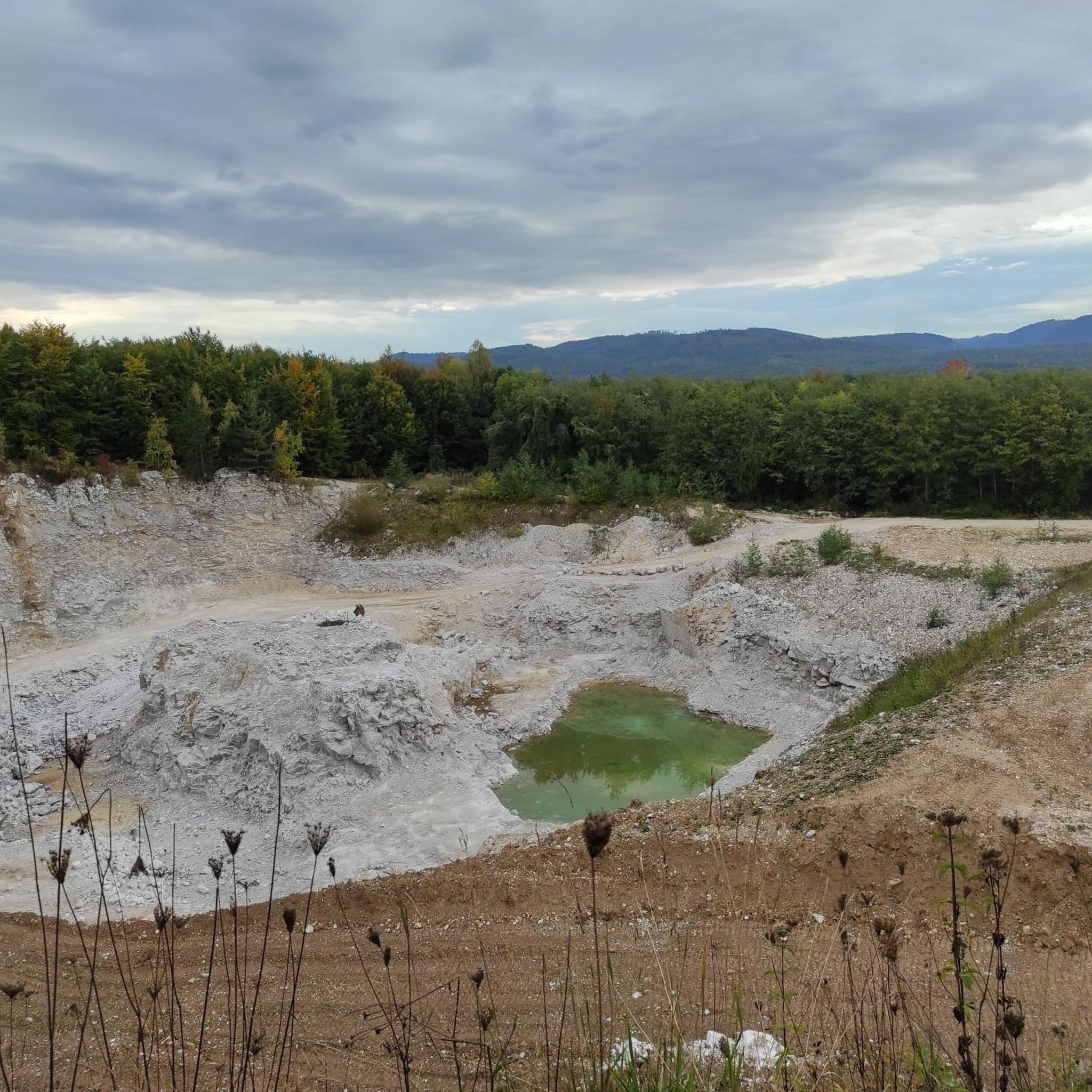
MTB Trails in Gipskarstlandschaft Bad Sachsa Und Walkenried
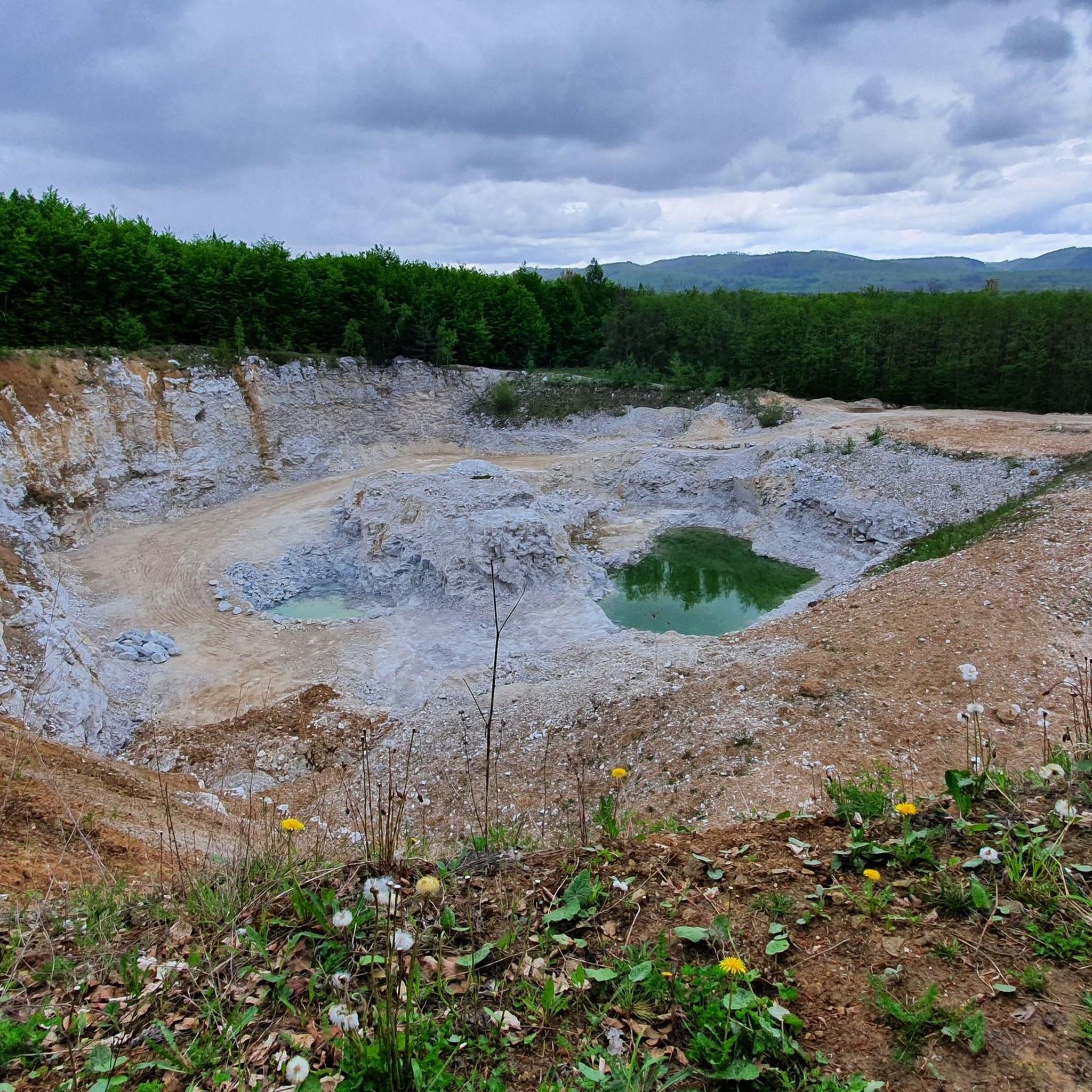
Road Cycling Routes in Gipskarstlandschaft Bad Sachsa Und Walkenried
Running Trails in Gipskarstlandschaft Bad Sachsa Und Walkenried

Gravel biking in Gipskarstlandschaft Bad Sachsa Und Walkenried
Tips from the Community

The town hall was built in the typical Harz style with a wooden facade.
1
0

In the evening, the view of the sunset is truly amazing.
3
0

Be sure to try the thunderstorm cake!
1
0
A wonderfully old-fashioned chairlift - walking is nicer, but if you like ski nostalgia, this is the place for you.
1
0
A nativity scene exhibition is held during the Christmas season.
1
0
Fountain nozzles with lion heads were apparently once popular here as well. Some people still put them in their gardens.
2
0

Beautiful historic building. I wonder if a tour is possible... 🤷
0
0

Frequently Asked Questions
How many mountaineering routes are available in Gipskarstlandschaft Bad Sachsa Und Walkenried, and what are their difficulty levels?
There are 7 mountaineering routes in Gipskarstlandschaft Bad Sachsa Und Walkenried. The majority are moderate, with 6 routes falling into this category, and 1 route considered difficult. This variety ensures options for different experience levels.
Are there circular mountaineering routes in Gipskarstlandschaft Bad Sachsa Und Walkenried?
Yes, many of the mountaineering routes in this region are designed as loops, allowing you to start and end at the same point. For example, consider The Kuckans Valley – Teufelsstieg Trail loop from Bad Sachsa or The Kuckans Valley – Steina Reservoir loop from Bad Sachsa for scenic circular options.
What unique geological features can I expect to see on mountaineering routes in Gipskarstlandschaft Bad Sachsa Und Walkenried?
The region is renowned for its distinctive gypsum karst landscape. On your routes, you can encounter fascinating geological features such as karst springs, sinkholes (Dolinen), earth cavities (Erdfälle), and exposed gypsum rocks (Gipsfelsen). The area also features disappearing streams and even caves, adding to its unique character.
Which mountaineering routes offer the best viewpoints or notable landmarks?
For excellent views, consider routes that pass by the Sachsenstein, an elevated cliff with the Sachsensteinhütte (HWN 166), offering panoramic vistas of Neuhof and the Harz foreland. The Stephanshütte (HWN 161) – Stöberhai Summit and Shelter loop from Wieda also leads to the Stöberhai Summit, providing elevated perspectives.
Are there any mountaineering routes that feature waterfalls?
Yes, if you're looking for a route with a waterfall, you might enjoy the Sülzhayner hut – Tosborn Waterfall loop from Sülzhayn. This moderate route includes the scenic Tosborn Waterfall.
What is the best time of year for mountaineering in Gipskarstlandschaft Bad Sachsa Und Walkenried?
The Gipskarstlandschaft Bad Sachsa Und Walkenried is generally enjoyable for hiking from spring through autumn. Spring brings blooming flora, while autumn offers vibrant foliage. Summer provides longer daylight hours. Winter conditions can vary, with potential for snow and ice, which may require specialized gear and experience.
Are there family-friendly mountaineering routes in Gipskarstlandschaft Bad Sachsa Und Walkenried?
While the term 'mountaineering' might suggest challenging terrain, many routes in this region are moderate and suitable for active families. Shorter loops like The Kuckans Valley – Teufelsstieg Trail loop from Bad Sachsa (8.3 km) offer a good balance of distance and interesting features without being overly strenuous.
Can I bring my dog on mountaineering routes in Gipskarstlandschaft Bad Sachsa Und Walkenried?
Generally, dogs are welcome on trails in Gipskarstlandschaft Bad Sachsa Und Walkenried. However, it's always recommended to keep your dog on a leash, especially in nature reserves, to protect wildlife and ensure a pleasant experience for all hikers. Be sure to carry water for your pet and clean up after them.
What do other mountaineers enjoy the most about mountaineering in Gipskarstlandschaft Bad Sachsa Und Walkenried?
The area is highly rated by the komoot community, with an average score of 4.0 stars. Reviewers often praise the unique gypsum karst topography, the ancient beech forests, and the varied elevation changes that make for engaging and diverse hiking experiences.
Are there any routes that pass by lakes or reservoirs?
Yes, the The Kuckans Valley – Steina Reservoir loop from Bad Sachsa offers views of the Steina Reservoir. Additionally, the region features natural attractions like the Lower Crane Pond Bad Sachsa and the Itelteich, which are part of the broader natural landscape.
What kind of forests can I expect to encounter on these routes?
The Gipskarstlandschaft Bad Sachsa Und Walkenried is home to diverse forest types, including ancient beech forests with trees up to 250 years old, as well as alder-ash floodplain forests. These provide shaded paths and a rich natural environment for your mountaineering adventures.
Most popular routes in Gipskarstlandschaft Bad Sachsa Und Walkenried
Most popular attractions in Gipskarstlandschaft Bad Sachsa Und Walkenried

Get inspired with the komoot mobile app


Explore more
Browse the best Mountain Hikes & Routes in other regions.
