The best walks and hikes in Kramershai
4.5
(70440)
242,496
hikers
982
hikes
Hiking in Kramershai traverses a landscape characterized by forested hills and mountain summits, including the Wurmberg. The region features varied terrain, from river valleys with waterfalls to higher elevations offering expansive views. It is situated within a natural park in Landkreis Harz. The network of routes provides options for various ability levels.
Best hiking trails in Kramershai
- The most popular hiking route is Wurmberg Summit – Lower Bode Waterfall loop from Kramershai, a 6.7 miles (10.8 km) trail that…
Last updated: September 24, 2026
4.6
(1125)
3,751
hikers
11.0km
03:28
400m
400m
Moderate hike. Good fitness required. Easily-accessible paths. Suitable for all skill levels.
4.6
(244)
735
hikers
15.0km
04:46
580m
580m
Moderate hike. Good fitness required. Easily-accessible paths. Suitable for all skill levels.

4.7
(64)
212
hikers
14.6km
04:51
650m
650m
Moderate hike. Good fitness required. Mostly accessible paths. Sure-footedness required.
4.7
(44)
182
hikers
3.18km
01:05
170m
170m
Easy hike. Great for any fitness level. Easily-accessible paths. Suitable for all skill levels.
4.6
(44)
182
hikers
7.53km
02:20
260m
250m
Moderate hike. Good fitness required. Easily-accessible paths. Suitable for all skill levels.
Get access to more routes and recommendations from other explorers.
Already have an account?
Our route recommendations are based on thousands of hikes, rides, and runs completed by other people on komoot.
Start today with a free account
Your next adventure awaits.
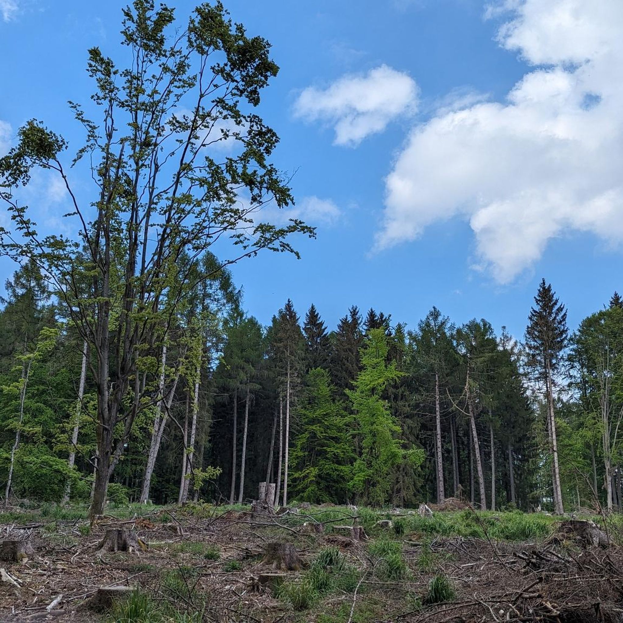
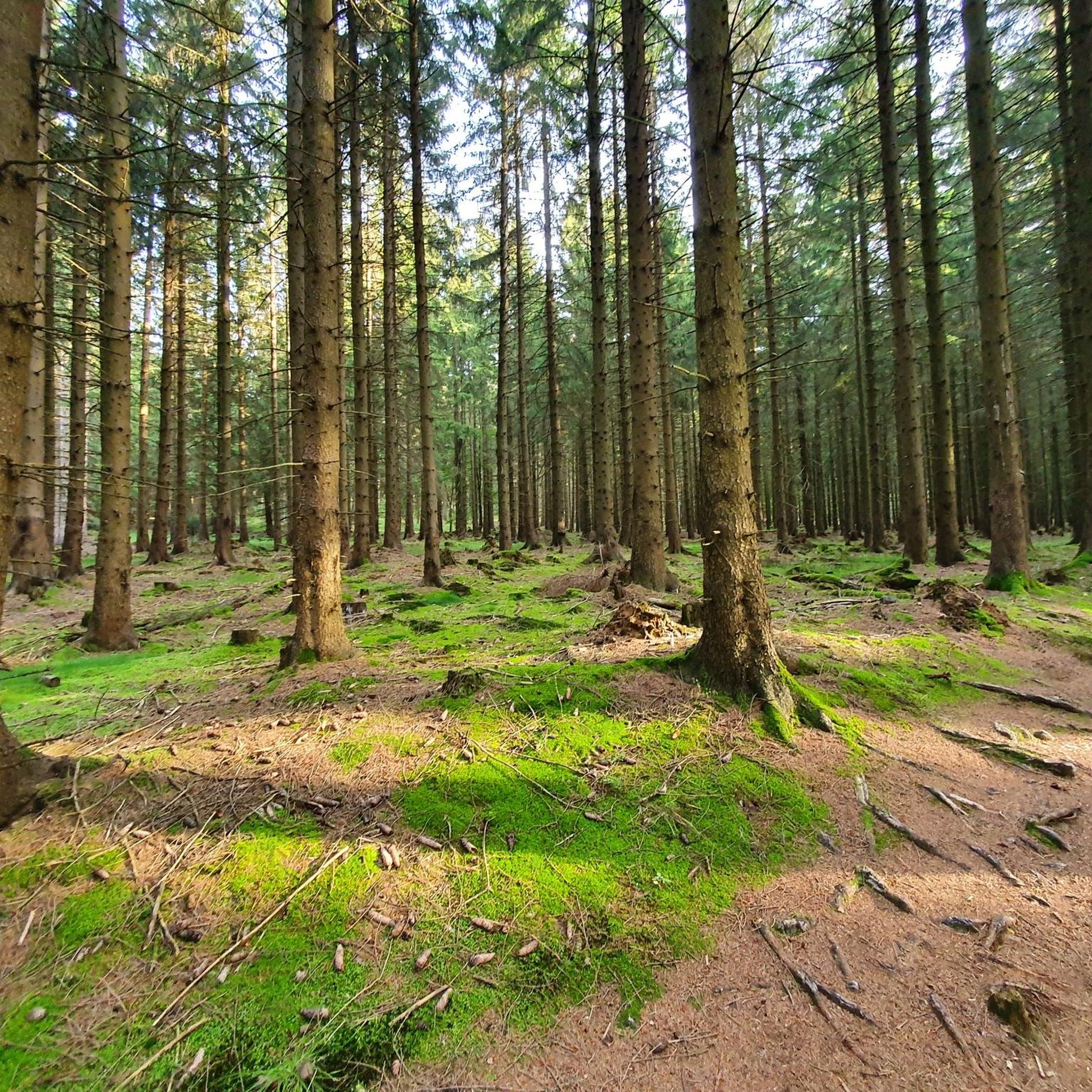
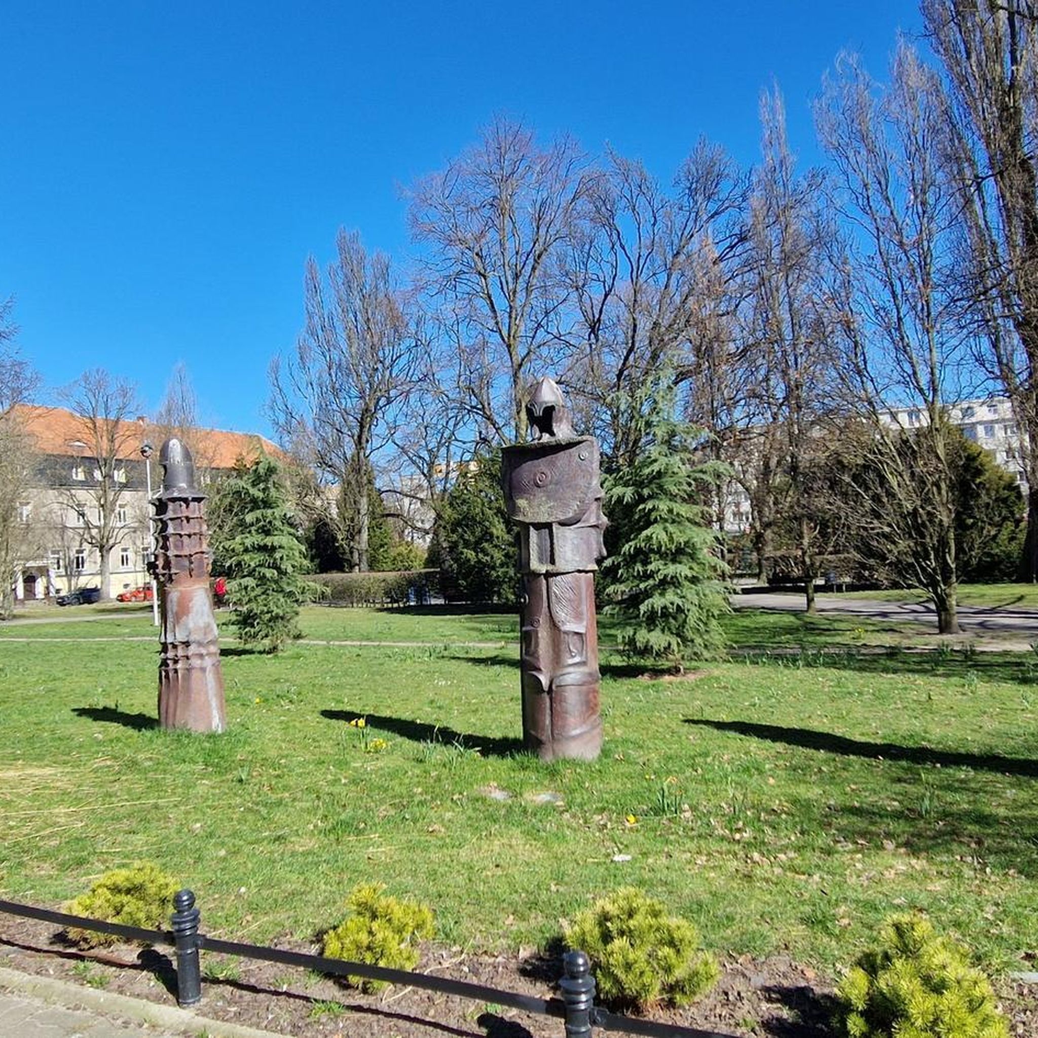
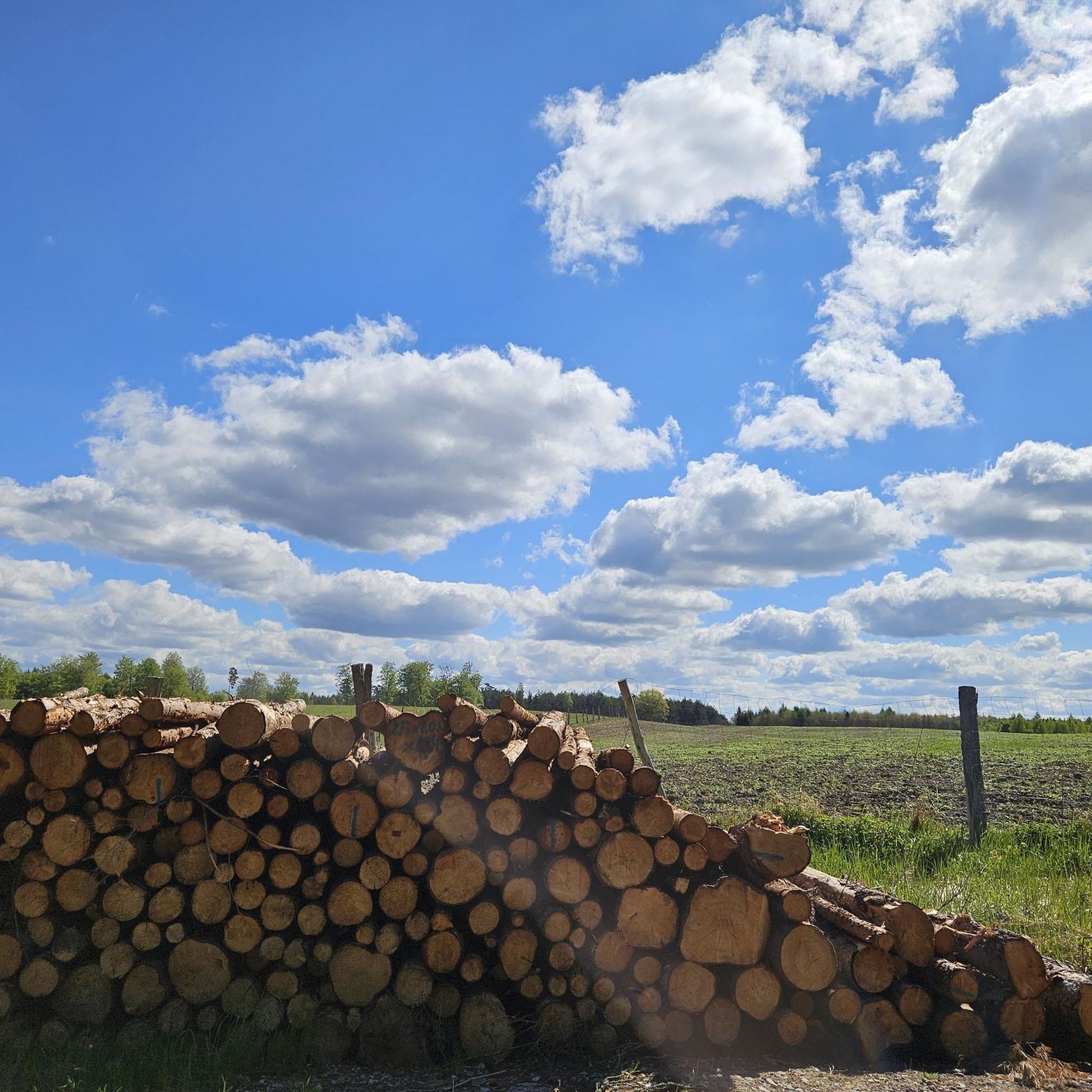


Tips from the Community

The little wooden footbridge is the comfortable part of the Eckerloch.
0
0

Great view of the Brocken.
2
0

On the Wurmberg, you have several beautiful views of the Brocken. E.g. from the summit cross, from the start of the bike route, when you walk around the reservoir ..
3
0

Unfortunately, the HWN special stamp Jägermeister is no longer available here. Due to constant vandalism, it was removed. According to the internet, you can apparently pick it up in Wernigerode.
0
0

Great place for young and old, upstairs there is even a small adventure playground by the pond.
0
0

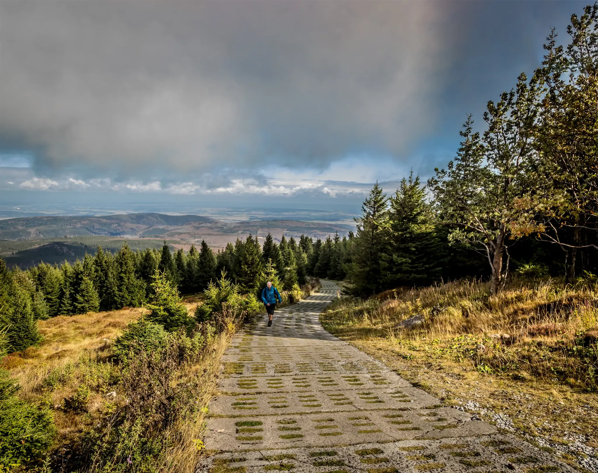
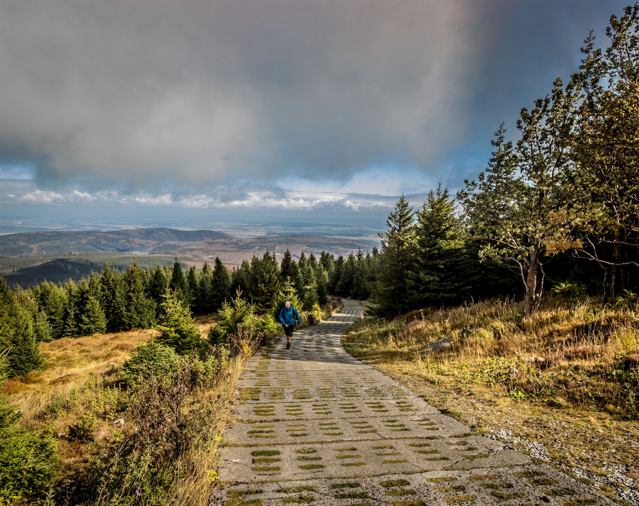
Very steep but special path upwards towards the Wurmberg. You climb quickly and also quickly enjoy particularly beautiful views over the rest of the Harz.
3
0

Going uphill, the path feels increasingly steep
2
0

Somehow it's a depressing feeling for someone who experienced the division at a young age.
0
0
Frequently Asked Questions
How many hiking trails are available in Kramershai?
There are over 960 hiking trails in Kramershai, offering a diverse range of options for all skill levels. This includes more than 400 easy routes, over 430 moderate trails, and around 110 difficult paths.
What kind of landscape can I expect when hiking in Kramershai?
Kramershai's landscape is characterized by forested hills and mountain summits, notably including the Wurmberg. You'll find varied terrain, from river valleys featuring waterfalls to higher elevations that provide expansive views. The area is situated within a natural park in Landkreis Harz.
Are there any circular hiking routes in Kramershai?
Yes, many routes in Kramershai are circular. For example, the Wurmberg Summit – Lower Bode Waterfall loop from Kramershai is a popular moderate circular trail that includes both a summit and a waterfall.
Are there any trails with waterfalls in Kramershai?
Yes, Kramershai features river valleys with waterfalls. The Wurmberg Summit – Lower Bode Waterfall loop from Kramershai is one such route that incorporates a waterfall into its path.
What are some good trails for beginners or those looking for an easy hike?
For an easier experience, consider the Wurmberg Summit – Wurmberg Mountain Adventure World loop from Kramershai. This 3.6-mile (5.8 km) trail leads through forested areas and past recreational facilities, typically completed in under two hours.
What do other hikers enjoy most about hiking in Kramershai?
The komoot community highly rates Kramershai, with an average score of 4.6 stars from nearly 60,000 reviews. Hikers often praise the varied terrain, from forested hills to mountain summits, and the presence of river valleys with waterfalls.
Are there any trails that offer great viewpoints?
Absolutely. The Wurmberg Summit – View of Brocken and Wurmberg loop from Kramershai is a challenging route specifically known for offering impressive views of Brocken and Wurmberg. Another option is the Wurmberg Summit – View from Wurmberg loop from Kramershai for scenic vistas.
What interesting landmarks or attractions can I find near Kramershai's hiking trails?
Along and near Kramershai's hiking trails, you can explore several points of interest. These include the German-German Border Monument Brehmke, the Former Death Strip (Border Trail), and the Root Trail on the Harzer-Hexen-Stieg within the Kramershai Conservation Area.
Are there any longer or more challenging hikes in the area?
For a more challenging experience, consider the Wurmberg Summit – View of Brocken and Wurmberg loop from Kramershai. This difficult 10.0-mile (16.2 km) path offers significant elevation gain and takes approximately 5 hours to complete.
Can I find trails that are less crowded or considered 'hidden gems'?
While specific 'hidden gems' are often discovered by local exploration, trails like the Eckerlochstieg Trail – Eckerlochstieg Trail loop from Schierke, though starting from a nearby location, offer a robust and scenic experience that might provide a different perspective away from the most popular Kramershai starting points.
Most popular routes in Kramershai
Most popular attractions in Kramershai

Get inspired with the komoot mobile app


Explore more
Browse the best Hikes in other regions.
