The best cycling routes in Untere Mulde
4.5
(8875)
34,358
riders
1,361
rides
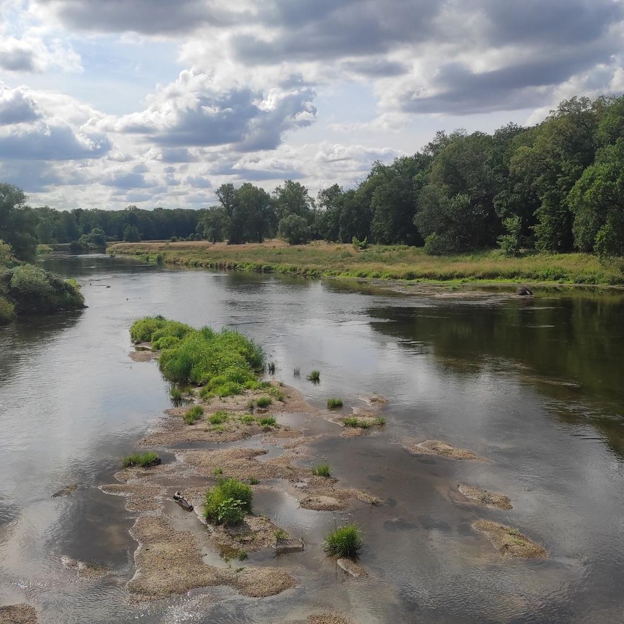
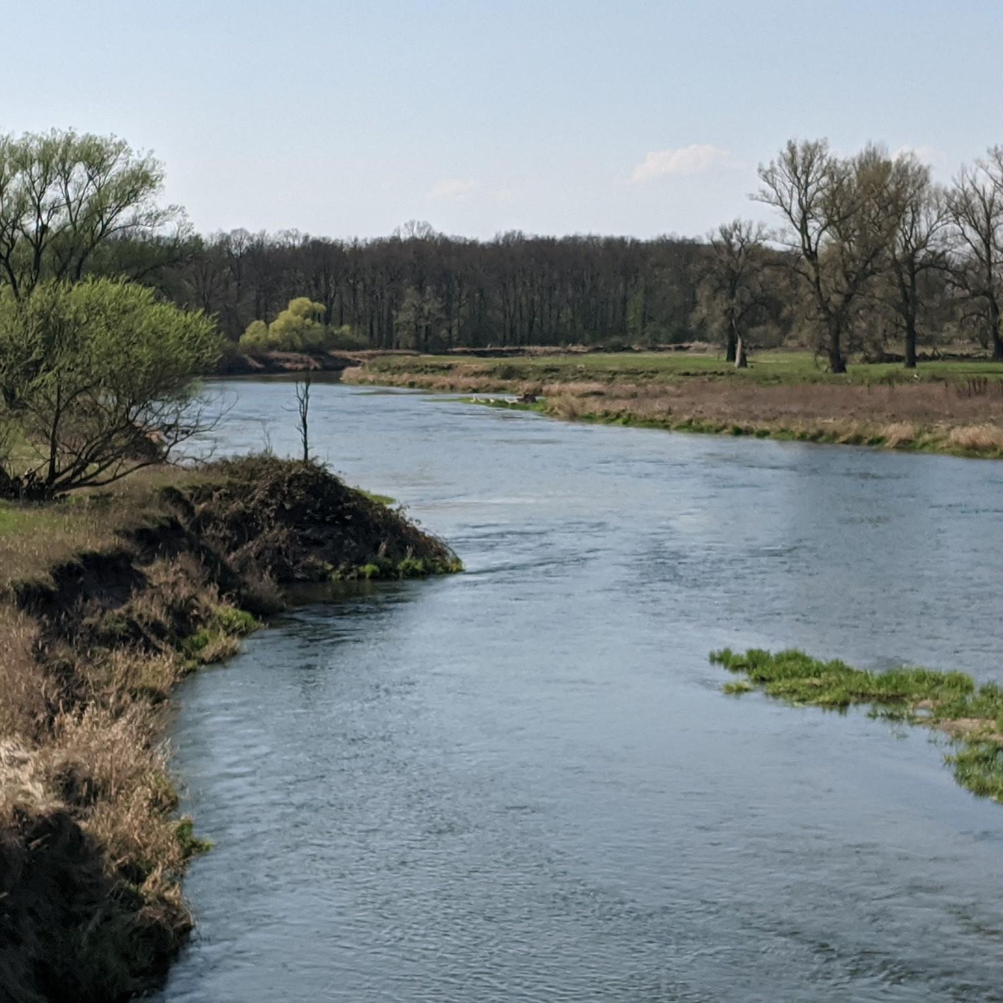
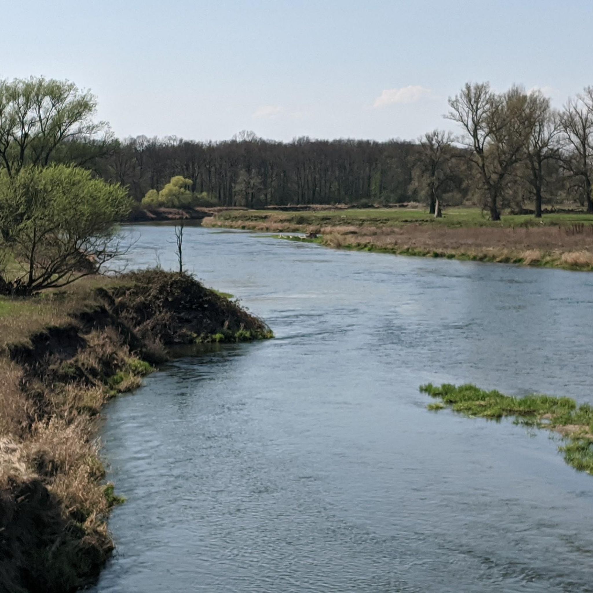
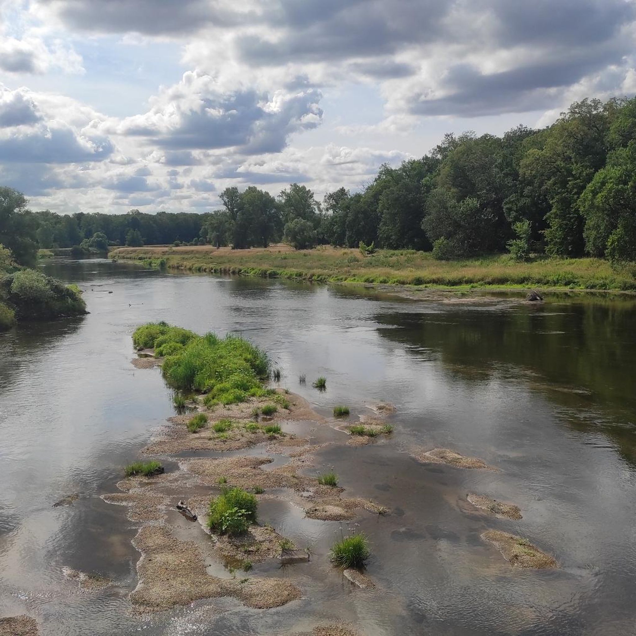
Touring cycling in Untere Mulde is characterized by its gentle topography and the Mulde river, which shapes a vibrant floodplain landscape. The region features extensive meadows, low moors, and riparian forests, particularly within the Muldeaue. Adjacent to the river, the Dübener Heide Nature Park adds mixed forests and lake landscapes to the diverse scenery. This terrain is well-suited for accessible outdoor activities, including touring cycling, with minimal elevation changes.
Best touring cycling routes in Untere Mulde
- The most popular touring cycling route is Sieglitzer Park Gate – Dessau Gate loop from Dessau-Waldersee, an 18.8 miles (30.3 km) trail that takes 1 hour 47 minutes to complete. This easy route offers views of the Mulde river and its surrounding floodplains.
- Another top favourite among local touring cyclists is Muldeaue – Sieglitzer Park Gate loop from Dessau-Waldersee, an easy 18.7 miles (30.0 km) path. This route traverses the Muldeaue, showcasing the region's natural river dynamics and riparian forests.
- Local touring cyclists also love the Salegaster Forst Forest Path – Great Goitzsche Lake loop from Jeßnitz (Anh), an 18.2 miles (29.3 km) trail leading through forest paths and past lake landscapes, often completed in about 1 hour 44 minutes.
- Touring cycling in Untere Mulde is defined by the Muldeaue floodplains, the Mulde river, and gentle forest paths, with routes available for various ability levels.
- The routes in Untere Mulde are highly rated by the komoot community with an average score of 4.6 stars from over 8,400 reviews. More than 34,000 touring cyclists have used komoot to explore Untere Mulde's varied terrain.
Last updated: June 26, 2026
4.7
(322)
1,410
riders
30.3km
01:48
40m
40m
Easy bike ride. Great for any fitness level. Mostly paved surfaces. Suitable for all skill levels.
4.8
(39)
119
riders
62.9km
03:46
110m
110m
Moderate bike ride. Good fitness required. Mostly paved surfaces. Suitable for all skill levels.

Sign up for free
4.7
(23)
92
riders
Easy bike ride. Great for any fitness level. Mostly paved surfaces. Suitable for all skill levels.
4.5
(14)
40
riders
Easy bike ride. Great for any fitness level. Mostly paved surfaces. Suitable for all skill levels.
4.8
(28)
114
riders
Hard bike ride. Great for any fitness level. You may need to push your bike for some segments of this route.
Get access to more routes and recommendations from other explorers.
Sign up for free
Already have an account?
Our route recommendations are based on thousands of hikes, rides, and runs completed by other people on komoot.
Start today with a free account
Your next adventure awaits.
Login or Signup
Tips from the Community

Highly recommended for a little refreshment and a cool drink.
0
0

The barrier structure near Friedersdorf is a 19 m high and 303 m long gravity dam with a construction volume of 40,000 m³. On February 17, 2023, a hydropower plant was commissioned, which is expected to generate 13.6 GWh of electrical energy per year. The construction cost 25 million euros and began in October 2016.[1] Source https://de.wikipedia.org/wiki/Muldestausee
1
0
The normal water level is around 79 m above sea level with a storage volume of approx. 115 million m³. The role of the Muldestausee as a flood retention basin is insignificant. However, the basin can temporarily retain 3 million m³ during floods (difference between total storage and usable storage). In fact, it is not a reservoir in the true sense, but rather a river dam. Since the flow velocity of the Mulde slows down considerably upon entering the lake, the Muldestausee acts as a sedimentation trap, into which approx. 400,000 t of solids (gravel, sand, silt) are deposited annually. These solids are missing from the river upon exiting the outlet structure, leading to a greater deepening of the riverbed of the lower Mulde and having ecological consequences. Source https://de.wikipedia.org/wiki/Muldestausee
1
0
After the excavation of coal from the Muldenstein open-cast mine (1954–1975), the relocation of the Mulde river over a distance of approximately eleven kilometers was necessary to expand the Goitzsche open-cast mine (today's Großer Goitzschesee). Part of the new river course was laid through the excavated Muldenstein open-cast mine. Flooding took place from April 30, 1975, to March 1, 1976. The Muldestausee lake has an inlet and an outlet structure. Source https://de.wikipedia.org/wiki/Muldestausee
1
0
The Muldestausee is an flooded open-cast mine in the district of Anhalt-Bitterfeld/Sachsen-Anhalt. Its bordering towns are Friedersdorf, Schlaitz, Pouch and Mühlbeck. With a surface area of 6.3 km², it is the third largest body of water in the state of Saxony-Anhalt. Its length is approx. 9 km, its widest point is 2 km, and its greatest depth is 35 m Source https://de.wikipedia.org/wiki/Muldestausee
1
0

A circuit around the Gremminer See is recommended. In addition to the view of the "Iron City" Ferropolis, there are many very interesting iron sculptures with imagined names to admire along the beautiful, asphalted path. Immediately behind the bridge over the B100/B107 to the town of Gräfenhainichen, you can also stop for an excellent meal at the Greek restaurant "Athos". (https://athos-der-grieche.de)
0
0
Frequently Asked Questions
What is the typical terrain like for touring cycling in Untere Mulde?
The terrain in Untere Mulde is generally characterized by gentle topography, making it ideal for touring cycling. You'll primarily encounter the Muldeaue floodplains with extensive meadows, low moors, and riparian forests. The routes often follow the Mulde river, and some paths lead through mixed forests and lake landscapes, particularly near the Dübener Heide Nature Park. Elevation changes are minimal, ensuring an accessible and enjoyable ride.
What natural features can I expect to see while cycling in Untere Mulde?
Untere Mulde is rich in natural beauty, largely shaped by the Mulde river. Cyclists can expect to see the vibrant Muldeaue floodplains, with their naturally dynamic river course, old river arms, and sandbanks. The region is home to diverse hardwood and softwood riparian forests, and in some areas, the Mulde maintains a wild, untamed character. The nearby Dübener Heide Nature Park also offers mixed forests and serene lake landscapes.
Are there any historical sites or landmarks to explore along the cycling routes?
Yes, Untere Mulde offers several interesting historical sites and landmarks. You might encounter the notable Hunting Bridge over the Mulde in Dessau, known for its viewing bulges. Other historical points include the Manor House and Church Muldenstein, with parts dating back centuries, and the Muldenstein Manor House. While cycling, you may also come across remnants like the Salegast Church Ruin or World War II bunkers.
How many touring cycling routes are available in Untere Mulde?
Untere Mulde offers a wide selection of touring cycling routes, with over 1,300 options available. This includes a variety of routes catering to different preferences, from easy paths through floodplains to more challenging trails that explore forest and lake landscapes.
What is the best time of year for touring cycling in Untere Mulde?
The gentle topography and diverse landscapes of Untere Mulde make it suitable for touring cycling throughout much of the year. Spring and autumn generally offer pleasant temperatures and beautiful scenery, with blooming nature or vibrant fall colors. Summer is also popular, though it can be warmer. The region's well-developed paths are enjoyable in most conditions.
Are there any family-friendly touring cycling routes in Untere Mulde?
Yes, many routes in Untere Mulde are suitable for families due to the region's gentle topography and minimal elevation changes. An excellent option is the Sieglitzer Park Gate – Dessau Gate loop from Dessau-Waldersee, an easy 18.8-mile (30.3 km) trail that offers pleasant views of the Mulde river and its floodplains, perfect for a relaxed family outing.
Are there any circular touring cycling routes in Untere Mulde?
Yes, Untere Mulde features numerous circular touring cycling routes, allowing you to start and end your journey in the same location. For example, the Muldeaue – Sieglitzer Park Gate loop from Dessau-Waldersee is an easy 18.7-mile (30.0 km) path that traverses the Muldeaue, showcasing the region's natural river dynamics and riparian forests in a convenient loop.
What do other touring cyclists enjoy the most about cycling in Untere Mulde?
The touring cycling routes in Untere Mulde are highly rated by the komoot community, with an average score of 4.6 stars from over 8,400 reviews. Cyclists often praise the tranquil flowing waters of the Mulde, the diverse landscapes of the floodplains and forests, and the well-maintained paths that make for an accessible and enjoyable experience for all skill levels.
Are there routes that pass by lakes or offer lake views?
Yes, some touring cycling routes in Untere Mulde incorporate lake landscapes, particularly those near the Dübener Heide Nature Park. For instance, the View of Gröberner Lake – Lake Gröbern loop from Raguhn is a moderate 34.2-mile (55.0 km) route that offers scenic views of Gröberner Lake, providing a different natural experience from the riverine floodplains.
What is the longest touring cycling route recommended in Untere Mulde?
For those looking for a longer touring cycling experience, the View of Gröberner Lake – Lake Gröbern loop from Raguhn is a notable option. This moderate route spans 34.2 miles (55.0 km) and takes approximately 3 hours 25 minutes to complete, offering extensive exploration of the region's landscapes, including lake views.
Are there any routes that are considered more challenging for experienced touring cyclists?
While many routes in Untere Mulde are easy, there are options for more experienced touring cyclists seeking a greater challenge. The Salegaster Forst Forest Path – Great Goitzsche Lake loop from Jeßnitz (Anh) is classified as difficult. This 18.2-mile (29.3 km) trail leads through forest paths and past lake landscapes, providing a more demanding ride compared to the gentler floodplain routes.
Most popular routes in Untere Mulde
Most popular attractions in Untere Mulde

Get inspired with the komoot mobile app


Explore more
Browse the best Cycling routes in other regions.
