The best running trails in Pfaffenheide-Wörpener Bach
4.3
(73)
839
runners
99
runs
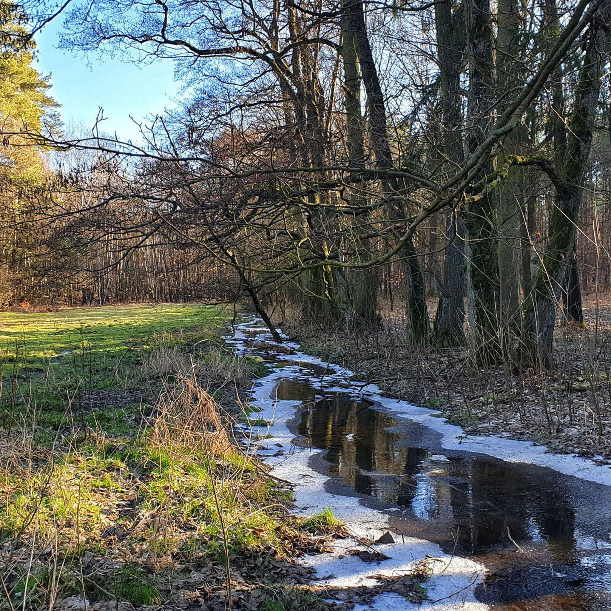
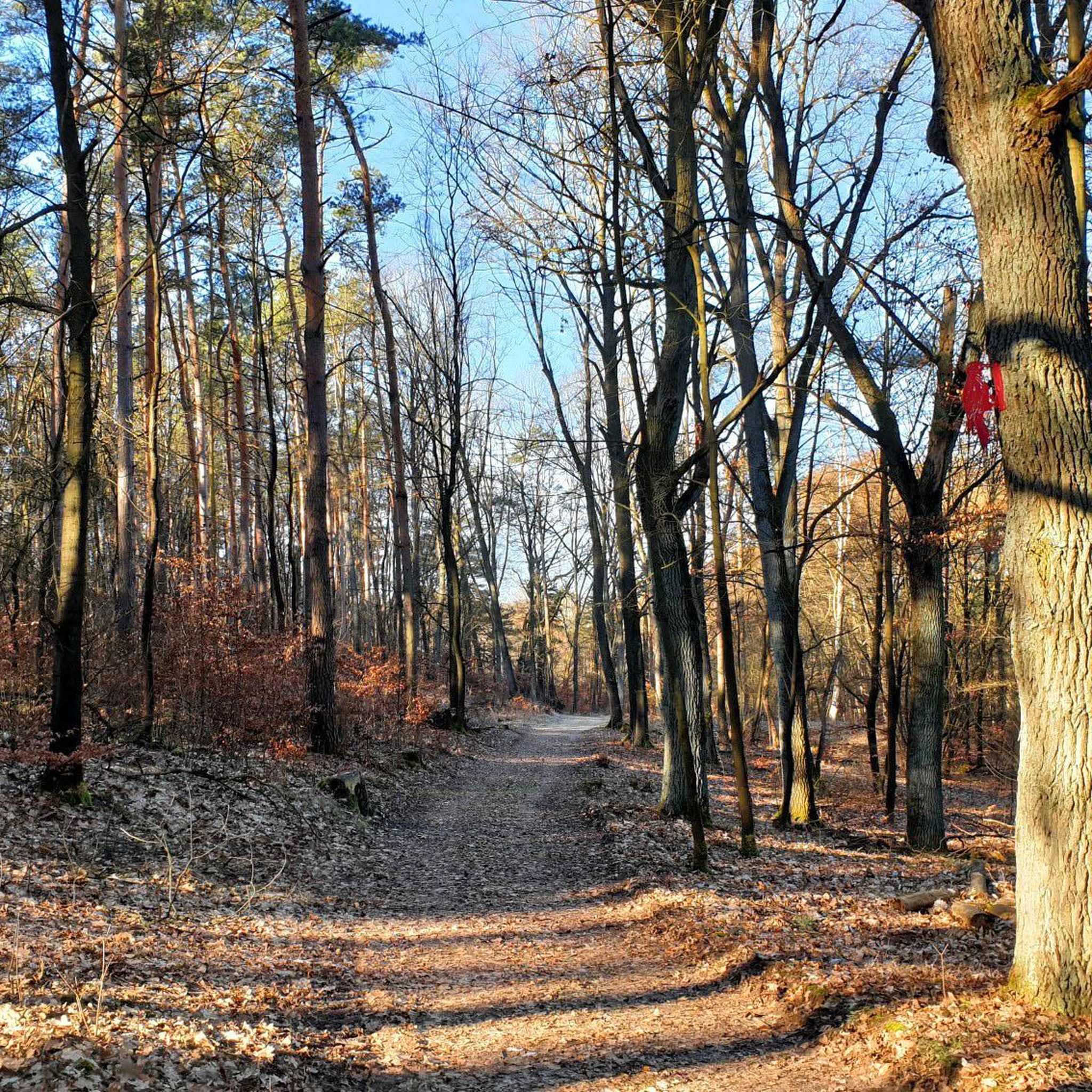
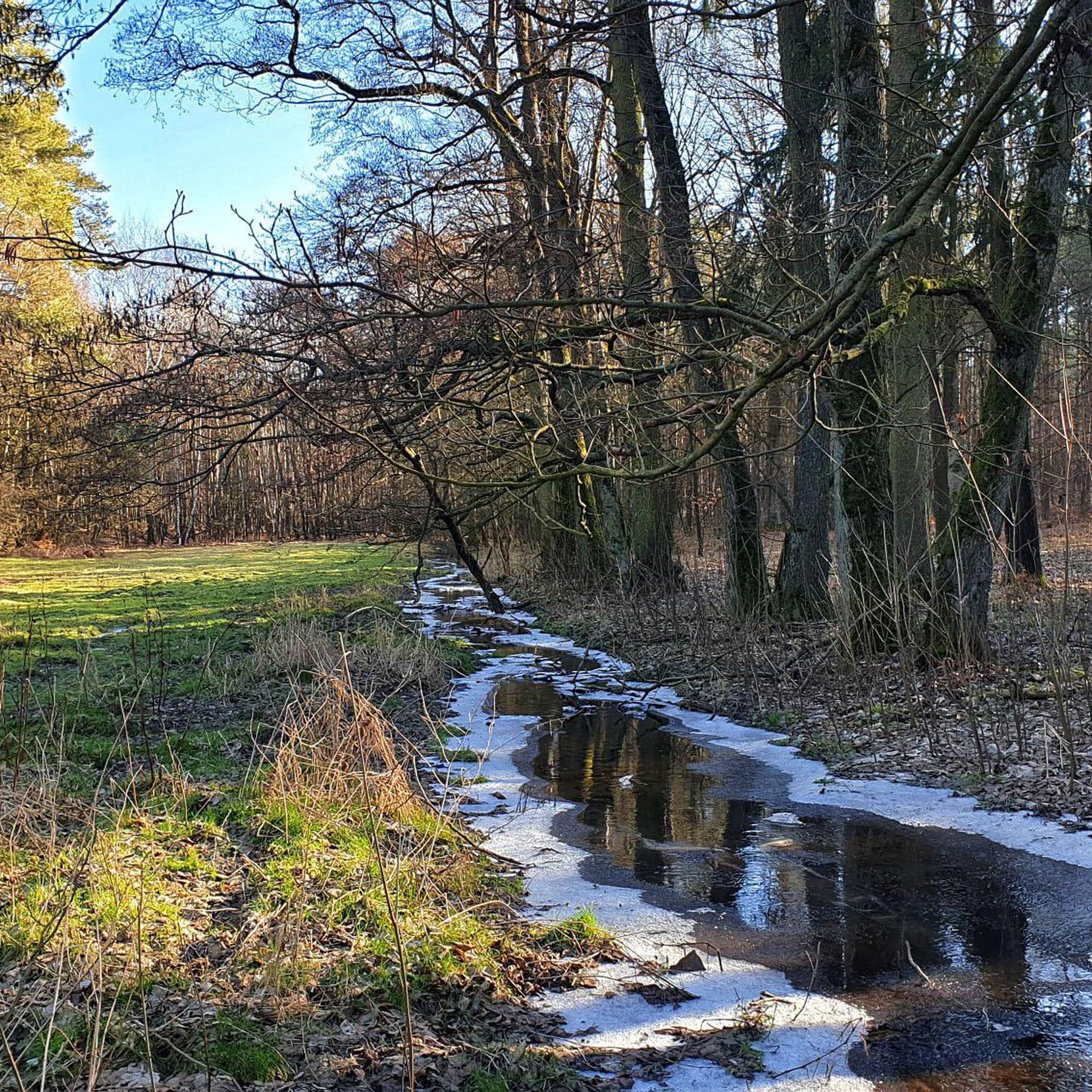
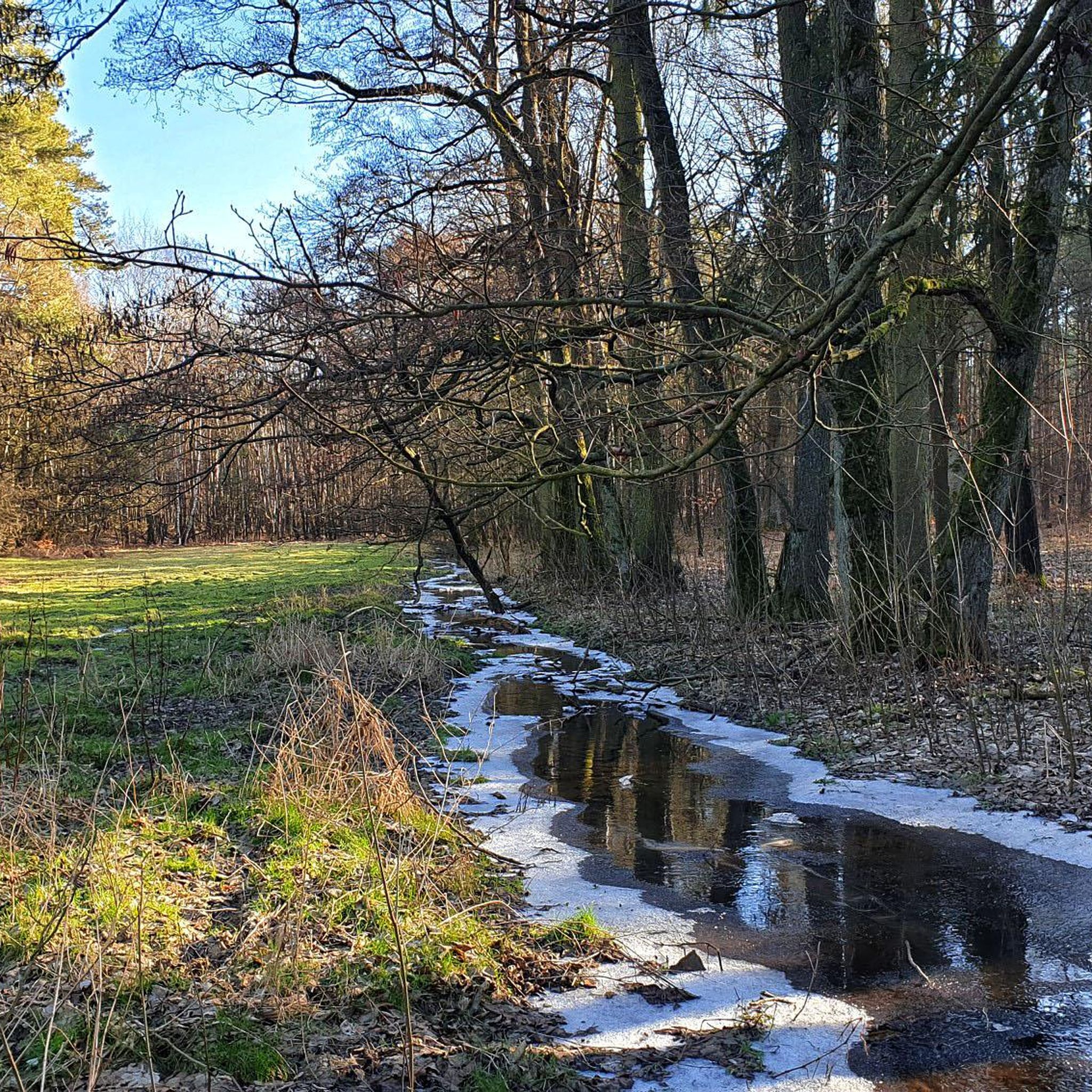
Jogging routes in Pfaffenheide-Wörpener Bach traverse a nature reserve spanning approximately 484 hectares, characterized by diverse forest ecosystems. The terrain features an oak-mixed forest complex, including oak-hornbeam forests, alongside sections of conifer forests with pine and larch. The central Wörpener Bach valley, with its sandy bed, is flanked by alder carr and ash forests, contributing to a lush riparian environment. This moraine landscape from the Saale Ice Age offers varied topography suitable for running.
Best jogging routes in Pfaffenheide-Wörpener Bach
…Last updated: July 10, 2026
3.3
(13)
8
runners
8.52km
00:55
30m
30m
Moderate run. Good fitness required. Mostly paved surfaces. Suitable for all skill levels.
3.0
(1)
5
runners
11.7km
01:13
50m
50m
Moderate run. Good fitness required. Mostly paved surfaces. Suitable for all skill levels.

Sign up for free
3
runners
11.9km
01:14
40m
40m
Moderate run. Good fitness required. Mostly paved surfaces. Suitable for all skill levels.
3
runners
4.17km
00:27
10m
10m
Easy run. Great for any fitness level. Mostly paved surfaces. Suitable for all skill levels.
2
runners
20.1km
02:18
140m
140m
Hard run. Very good fitness required. Mostly paved surfaces. Suitable for all skill levels.
Get access to more routes and recommendations from other explorers.
Sign up for free
Already have an account?
Our route recommendations are based on thousands of hikes, rides, and runs completed by other people on komoot.
Start today with a free account
Your next adventure awaits.
Login or Signup
Popular around Pfaffenheide-Wörpener Bach
Tips from the Community

Located directly on the Elbe cycle path
4
0

The mill, which is located directly on the Elbe Cycle Path and thus near the Elbe, is a technical monument from 1845.
1
0

Unfortunately it has been decaying for years
0
0

The Apollensberg is located in the small community of Apollensdorf and, with its quiet location, lush vegetation and unique views, is a real local recreation area for all Wittenberg residents and guests of Lutherstadt. The hill goes back to the formation processes of the Ice Age and is therefore a very old witness to the eventful history of Lutherstadt Wittenberg and the surrounding towns. Due to various deposition processes during this time, the Apollensberg still has a high lime content today. Special and rare plant species that do not occur in the rest of the landscape around Lutherstadt Wittenberg were able to settle here.
2
0

This little picnic bench comes in handy on your hike along the Luthersteg. Here it is difficult to part with the fairytale place after a break.
2
0

Nice view of the Elbe, just a few meters from the Elbe Cycle Path.
1
1
Here you have a wonderful view of the glacial valley of the Elbe, which lies nestled between the Fläming mountain ranges in the north and the Dübener Heide in the south. fantastic!
4
0
Once you have fought your way up the 127 meter high mountain with your bike, you will be rewarded with a fantastic panorama over the Elbe landscape. An imposing summit cross and a number of seats await you at the top. Incidentally, the Apollensberg is a witness to the last ice age. Due to its high lime content, which was created through various deposition processes, the mountain offers rare plant species a habitat that is unique in this region.
4
0
Frequently Asked Questions
How many running trails are available in Pfaffenheide-Wörpener Bach?
There are over 100 running routes in the Pfaffenheide-Wörpener Bach nature reserve, offering a wide range of options for different fitness levels and preferences. You'll find everything from leisurely jogs to more challenging runs.
What kind of terrain can I expect on the jogging routes in Pfaffenheide-Wörpener Bach?
The terrain in Pfaffenheide-Wörpener Bach is quite diverse, shaped by a moraine landscape from the Saale Ice Age. You'll primarily run through varied forest ecosystems, including oak-mixed forests and sections with conifer trees. The routes often follow the scenic Wörpener Bach valley, which features a predominantly sandy bed and lush riparian environments with alder carr and ash forests.
Are there any easy running routes suitable for beginners or a relaxed jog?
Yes, Pfaffenheide-Wörpener Bach offers several easy running routes. Out of the over 100 trails, 8 are specifically categorized as easy, perfect for beginners or those looking for a more relaxed pace. These paths typically have minimal elevation gain and smooth surfaces.
What are some notable natural features or landmarks I might see while running in the region?
While jogging, you'll experience the rich biodiversity of the nature reserve. Keep an eye out for diverse plant life like two-leaved squill and martagon lily in the undergrowth. The central feature is the Wörpener Bach valley itself, with its flowing brook and healthy aquatic ecosystem. The varied forest types, from oak-hornbeam to pine and larch, also create a constantly changing and picturesque backdrop.
Are there any circular running routes in Pfaffenheide-Wörpener Bach?
Yes, many of the running routes in Pfaffenheide-Wörpener Bach are designed as circular loops, allowing you to start and finish at the same point. For example, the Kreuzberge loop from Wörpen is a moderate 5.7-mile (9.3 km) trail that offers a great circular experience through the varied landscape.
What do other runners enjoy the most about jogging in Pfaffenheide-Wörpener Bach?
The area is highly rated by the komoot community, with an average score of 4.2 stars from over 60 reviews. Runners often praise the tranquil environment, the diverse forest scenery, and the well-maintained network of trails that cater to various fitness levels. The natural beauty and peaceful setting away from urban noise are frequently highlighted.
Is Pfaffenheide-Wörpener Bach suitable for family-friendly running or jogging with children?
Yes, the nature reserve offers a peaceful and natural setting that can be very enjoyable for families. The 8 easy routes are particularly well-suited for family jogs, providing less challenging terrain. The diverse landscapes and natural features can also make the experience engaging for children.
Are dogs allowed on the running trails in Pfaffenheide-Wörpener Bach?
As a nature reserve, specific regulations apply to protect the wildlife and natural environment. Generally, dogs are permitted on trails but must be kept on a leash to prevent disturbance to local fauna and flora. Always ensure you clean up after your pet to maintain the pristine condition of the reserve.
What are the parking options for accessing the running routes?
While specific parking areas are not detailed in every route description, access points to the nature reserve typically have designated parking. It's advisable to check the starting point of your chosen route on komoot for the most accurate information on nearby parking facilities, especially when starting from towns like Coswig (Anhalt) or Wörpen.
Can I reach Pfaffenheide-Wörpener Bach by public transport for a run?
Access to Pfaffenheide-Wörpener Bach via public transport is possible, particularly if you plan to start your run from nearby towns like Coswig (Anhalt). Regional bus services often connect surrounding areas to the reserve's vicinity. We recommend checking local public transport schedules for the most convenient connections to your desired starting point.
Are there any longer, more challenging running routes for experienced runners?
Absolutely. For experienced runners seeking a greater challenge, Pfaffenheide-Wörpener Bach offers 16 difficult routes. An example is the Apollensberg Summit Cross – View of the Elbe loop from Coswig (Anhalt), a demanding 12.5-mile (20.1 km) trail with significant elevation gain, providing a rewarding workout and expansive views.
What is the best time of year to go running in Pfaffenheide-Wörpener Bach?
Pfaffenheide-Wörpener Bach is beautiful year-round, but spring and autumn are particularly popular for running. In spring, the forests burst with new growth and wildflowers, while autumn offers stunning foliage colors. Summer provides lush green canopies for shade, and even winter can be magical with snow, though trail conditions may vary. Always check local weather before heading out.
Most popular routes in Pfaffenheide-Wörpener Bach

Get inspired with the komoot mobile app


Explore more
Browse the best Running Trails & Routes in other regions.
