The best walks and hikes in Uchte-Tangerquellen Und Waldgebiete Nördlich Uchtspringe
4.6
(105)
545
hikers
16
hikes
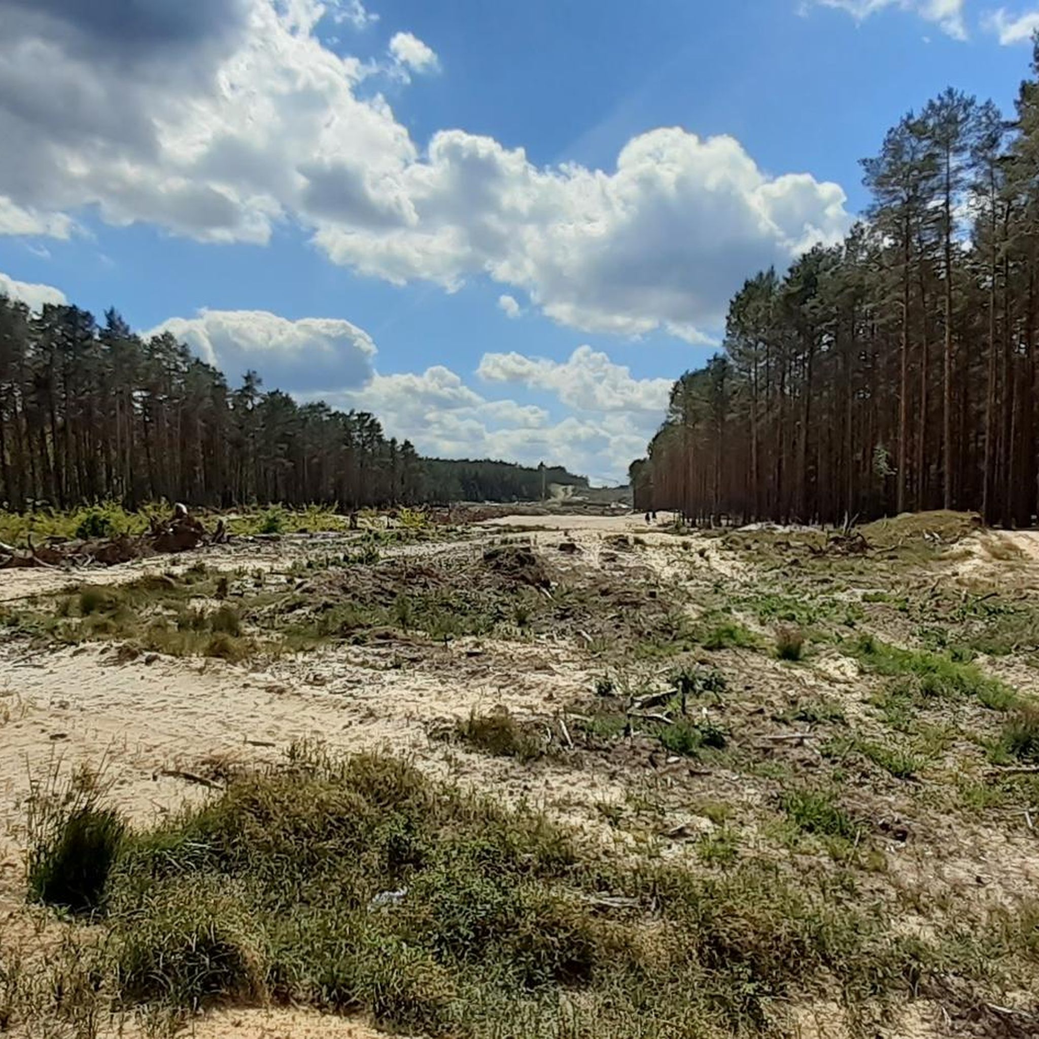
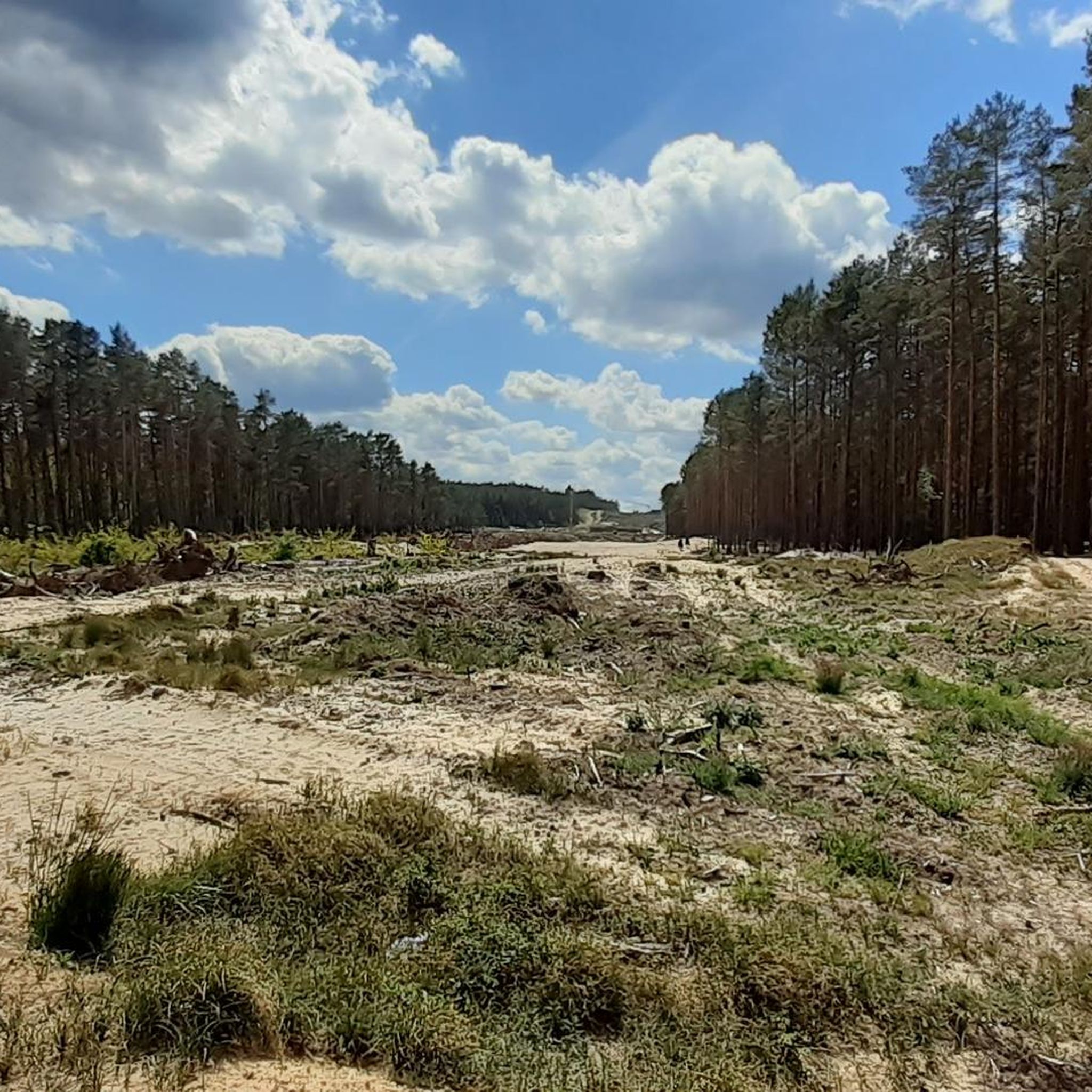
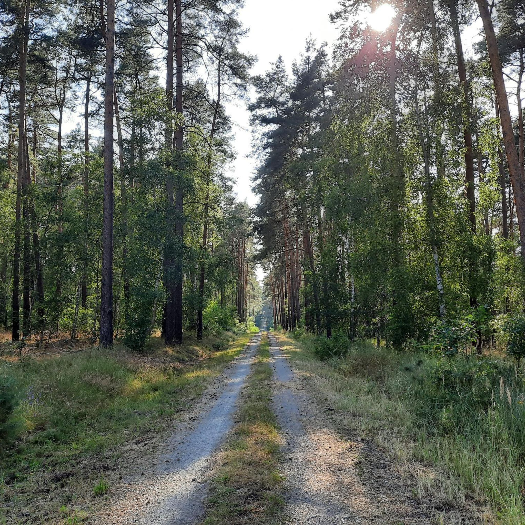
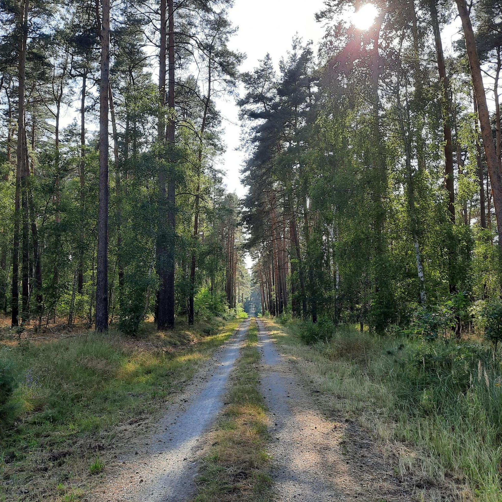
Hiking trails in Uchte-Tangerquellen Und Waldgebiete Nördlich Uchtspringe traverse a diverse landscape characterized by extensive forests, source-rich lowlands, and varied terrain. The region features a significant closed forest of Scots pine, oak, and beech, alongside scattered woodlands. Defining characteristics include the Tanger springs and the Uchte source, which emerge at the edge of the heathland. The Uchte lowlands present a mix of grasslands, alder-ash forests, and small bogs, offering varied scenery for hikers.
Best hiking trails in Uchte-Tangerquellen Und Waldgebiete…
Last updated: July 10, 2026
3.5
(2)
8
hikers
8.43km
02:11
50m
50m
Moderate hike. Good fitness required. Easily-accessible paths. Suitable for all skill levels.
5.0
(1)
5
hikers
4.62km
01:12
30m
30m
Easy hike. Great for any fitness level. Easily-accessible paths. Suitable for all skill levels.

Sign up for free
5.0
(1)
4
hikers
13.8km
03:37
120m
110m
Moderate hike. Good fitness required. Easily-accessible paths. Suitable for all skill levels.
5.0
(2)
6
hikers
2.70km
00:41
10m
10m
Easy hike. Great for any fitness level. Easily-accessible paths. Suitable for all skill levels.
4
hikers
4.73km
01:14
30m
30m
Easy hike. Great for any fitness level. Easily-accessible paths. Suitable for all skill levels.
Get access to more routes and recommendations from other explorers.
Sign up for free
Already have an account?
Our route recommendations are based on thousands of hikes, rides, and runs completed by other people on komoot.
Start today with a free account
Your next adventure awaits.
Login or Signup
Popular around Uchte-Tangerquellen Und Waldgebiete Nördlich Uchtspringe
Tips from the Community

The village church in Staats was built from brick in 1880/1881 in the Neo-Romanesque style. The simple structure comprises a nave with a square steeple projecting to the west and a small, polygonal chancel on the east side. Striking features include the buttresses in the nave and chancel, as well as the two-part pointed-arch windows with original glazing from the time of construction, which depict figurative depictions. Inside, a wooden ceiling spans the nave, while the chancel has a vault. The furnishings are simple and largely preserved in their original condition. Particularly noteworthy is the pulpit, made by Gustav Kuntzsch of Wernigerode. A large statue of the Virgin Mary from the early 16th century is located in the tower. The current interior design dates from 1966.
1
0

Brick churches in the Altmark!
0
0
Rest area at the Uchtequelle. In the background the new psychiatric ward, a little oppressive. You immediately realize how much you love your freedom!
0
0

The simple brick church was built in 1880/1881 in the neo-Romanesque style. According to an inscription on the door, the church building was built under District Administrator Friedrich Wilhelm von Kröcher (1810–1891).
0
0
The Uchte is a 49 km long tributary of the Biese in Saxony-Anhalt. The source area in Uchtspringe, which is part of the “Uchte-Tangerquelle” landscape protection area, is located on the northern edge of the Colbitz-Letzlinger Heide at around 75 m above sea level. NHN. Most of the water comes from the headwaters south of Uchtspringe, at the foot of the Springberg hill. However, the longest arm of the spring (around 1.6 km) rises west of Uchtspringe. In the first ten kilometers the gradient is around 40 m.
0
0

The brick church of Uchtspringe was built in 1899 when the sanatorium was built.
1
0

The church wall was renovated in 2022.
0
0

Idyllic landscape with a hidden water treading area
0
0
Frequently Asked Questions
How many hiking trails are available in Uchte-Tangerquellen Und Waldgebiete Nördlich Uchtspringe?
There are over 15 hiking routes in Uchte-Tangerquellen Und Waldgebiete Nördlich Uchtspringe, offering a diverse range of experiences from easy strolls to more moderate excursions through forests and lowlands.
What kind of terrain can I expect on the hiking trails?
The region features a richly structured landscape with extensive forests, predominantly Scots pine, oak, and beech. You'll also find diverse lowlands with grasslands, alder-ash forests, and small bogs, especially around the source areas of the Tanger and Uchte rivers. The terrain is varied, ensuring a constantly changing and engaging experience.
Are there any easy or family-friendly hiking options?
Yes, about half of the trails in the area are rated as easy, making them suitable for families or those looking for a relaxed walk. An example is the Rosenweg Stream – Neo-Gothic Church Uchtspringe loop from Uchtspringe, which is a shorter, tranquil forest path.
What natural features are prominent along the hiking routes?
A defining characteristic of the area is its abundance of springs. You can explore the source areas of the Tanger and Uchte rivers, where water emerges from the heathland. The Uchte lowlands are particularly scenic, featuring varied landscapes of grasslands and forests. Don't miss the Water treading spot at the Uchte springs for a refreshing stop.
Are there any viewpoints or elevated areas to enjoy the scenery?
While the region is generally gently rolling, the Fuchsberge (69 meters above sea level) and the Kümmelberg (111 meters above sea level) are the highest elevations and offer excellent viewpoints over the diverse landscape of forests and lowlands.
What do other hikers say about the trails in Uchte-Tangerquellen Und Waldgebiete Nördlich Uchtspringe?
The area is highly rated by the komoot community, with an average score of 4.5 stars from nearly 100 reviews. Hikers often praise the tranquility of the forest paths and the diverse natural beauty, especially around the source-rich lowlands.
Are there any circular hiking routes available?
Many of the routes in Uchte-Tangerquellen Und Waldgebiete Nördlich Uchtspringe are designed as loops, allowing you to start and end at the same point. For instance, the Rosenweg Stream – Uchtspringe Estate Farm loop from Staats offers a moderate circular path through varied forest and lowland scenery.
What are some interesting landmarks or attractions to see while hiking?
Beyond the natural springs, you can discover historical and cultural points of interest. Consider visiting the Vollenschier Manor Church or the Staats Watermill. The Forest Trail from Uchtspringe to Trüstedt is also noted for its absolute tranquility.
Is the area suitable for dog-friendly hikes?
Yes, the natural environment with its extensive forests and open lowlands is generally suitable for hiking with dogs. Many trails offer ample space for your canine companion to enjoy the outdoors, though always remember to keep dogs on a leash where required and clean up after them.
What is the best time of year to go hiking in this region?
The diverse landscape of Uchte-Tangerquellen Und Waldgebiete Nördlich Uchtspringe is enjoyable throughout the year. Spring brings fresh greenery and blooming flora, summer offers pleasant forest shade, autumn showcases vibrant foliage, and even winter can be beautiful with crisp air and quiet, snow-dusted paths.
Are there any longer, more challenging routes for experienced hikers?
While most routes are easy to moderate, some trails offer longer distances and slightly more elevation gain. The Waldschlösschen Brunkau – Vollenschier Manor Church loop from Staats is a moderate 13.7 km route that provides a good challenge while exploring more of the region's varied landscape.
How accessible is the region by public transport for hikers?
While specific public transport links directly to trailheads can vary, the area is generally accessible. It's advisable to check local bus schedules to nearby towns like Uchtspringe or Staats, and plan your hike accordingly, as some starting points might require a short walk from the nearest stop.
Most popular routes in Uchte-Tangerquellen Und Waldgebiete Nördlich Uchtspringe
Most popular attractions in Uchte-Tangerquellen Und Waldgebiete Nördlich Uchtspringe

Get inspired with the komoot mobile app


Explore more
Browse the best Hikes in other regions.
