The best road cycling routes in Müggelspreeniederung Köpenick
4.4
(1244)
11,778
riders
183
rides
Road cycling in Müggelspreeniederung Köpenick features routes through a lowland natural park in Berlin, characterized by its network of rivers, lakes, and forested areas. The terrain is generally flat, offering smooth asphalt paths suitable for road bikes. This region provides a mix of waterside routes along the Spree river and around lakes, interspersed with sections through woodlands, with the Müggelberge hills introducing some varied elevation.
Best road cycling routes in Müggelspreeniederung Köpenick
- The most popular road cycling route is View of Dämeritzsee – Forest cycle path with smooth asphalt loop from Wilhelmshagen, a 86.4 miles (139.1 km) trail that takes 5 hours 46 minutes to complete. This route offers extensive cycling on smooth asphalt through forest areas.
- Another top favourite among local road cyclists is Bridge Over the Old Spree Arm – Road to Müggelhort loop from Müggelheim, a moderate 13.5 miles (21.7 km) path. This route includes scenic sections crossing the Old Spree Arm.
- Local road cyclists also love the View of Köpenick Old Town – Köpenick Palace loop from Wilhelmshagen, a 15.8 miles (25.5 km) trail leading through urban and waterside landscapes, often completed in about 1 hour 5 minutes.
- Road cycling in Müggelspreeniederung Köpenick is defined by flat terrain, river paths, and forested sections. The network offers options for various ability levels, from shorter, easy loops to longer, more challenging routes.
- The routes in Müggelspreeniederung Köpenick are highly rated by the komoot community with an average score of 4.5 stars from over 1000 reviews. More than 11000 road cyclists have used komoot to explore Müggelspreeniederung Köpenick's varied terrain.
Last updated: July 17, 2026
4.9
(13)
179
riders
Hard road ride. Very good fitness required. Some segments of this route may be unpaved and difficult to ride.
4.4
(19)
269
riders
Moderate road ride. Good fitness required. Some segments of this route may be unpaved and difficult to ride.

Sign up for free
4.8
(5)
51
riders
Moderate road ride. Great for any fitness level. Some segments of this route may be unpaved and difficult to ride.
4.4
(8)
40
riders
60.0km
02:34
150m
150m
Moderate road ride. Good fitness required. Some segments of this route may be unpaved and difficult to ride.
3.8
(4)
54
riders
Moderate road ride. Great for any fitness level. Some segments of this route may be unpaved and difficult to ride.
Get access to more routes and recommendations from other explorers.
Sign up for free
Already have an account?
Our route recommendations are based on thousands of hikes, rides, and runs completed by other people on komoot.
Start today with a free account
Your next adventure awaits.
Login or Signup

Tips from the Community

Mornings nice and quiet to start the day: swimming and breakfast.
0
0

to step on the gas....hop hop hop
0
0

The road was resurfaced in 2023 (https://www.amt-odervorland.de/fileadmin/user_upload/Fahrbahnerneuerung_zwischen_Berkenbrueck_und_Falkenberg_Landesbetrieb_Strassenwesen_Brandenburg.pdf) and is now very easy to drive on.
0
0

Easy-to-use asphalted footpath/cycle path next to the road.
1
0

Organ concerts often take place in the castle church.
6
0

a clean thing for traveling through on a bike
0
0

Very crowded in summer. Recommended for a break at any other time of year.
0
0
Frequently Asked Questions
How many road cycling routes are available in Müggelspreeniederung Köpenick?
There are over 180 road cycling routes in Müggelspreeniederung Köpenick, offering a wide variety of options for different skill levels and preferences.
Are there road cycling routes suitable for beginners or families in Müggelspreeniederung Köpenick?
Yes, the region is known for its generally flat terrain and smooth asphalt paths, making it ideal for beginners and families. There are 41 easy routes, such as the Renovated forest path – Kagel–Kienbaum Cycle Path loop from Erkner, which offers a pleasant ride through forested areas.
What about more challenging road cycling routes in Müggelspreeniederung Köpenick?
While the terrain is mostly flat, some routes offer longer distances and more extensive cycling. For example, the View of Dämeritzsee – Forest cycle path with smooth asphalt loop from Wilhelmshagen is a challenging 86.4-mile (139.1 km) route with smooth asphalt through forest areas, perfect for experienced riders seeking a longer tour.
What kind of scenery can I expect along the road cycling routes?
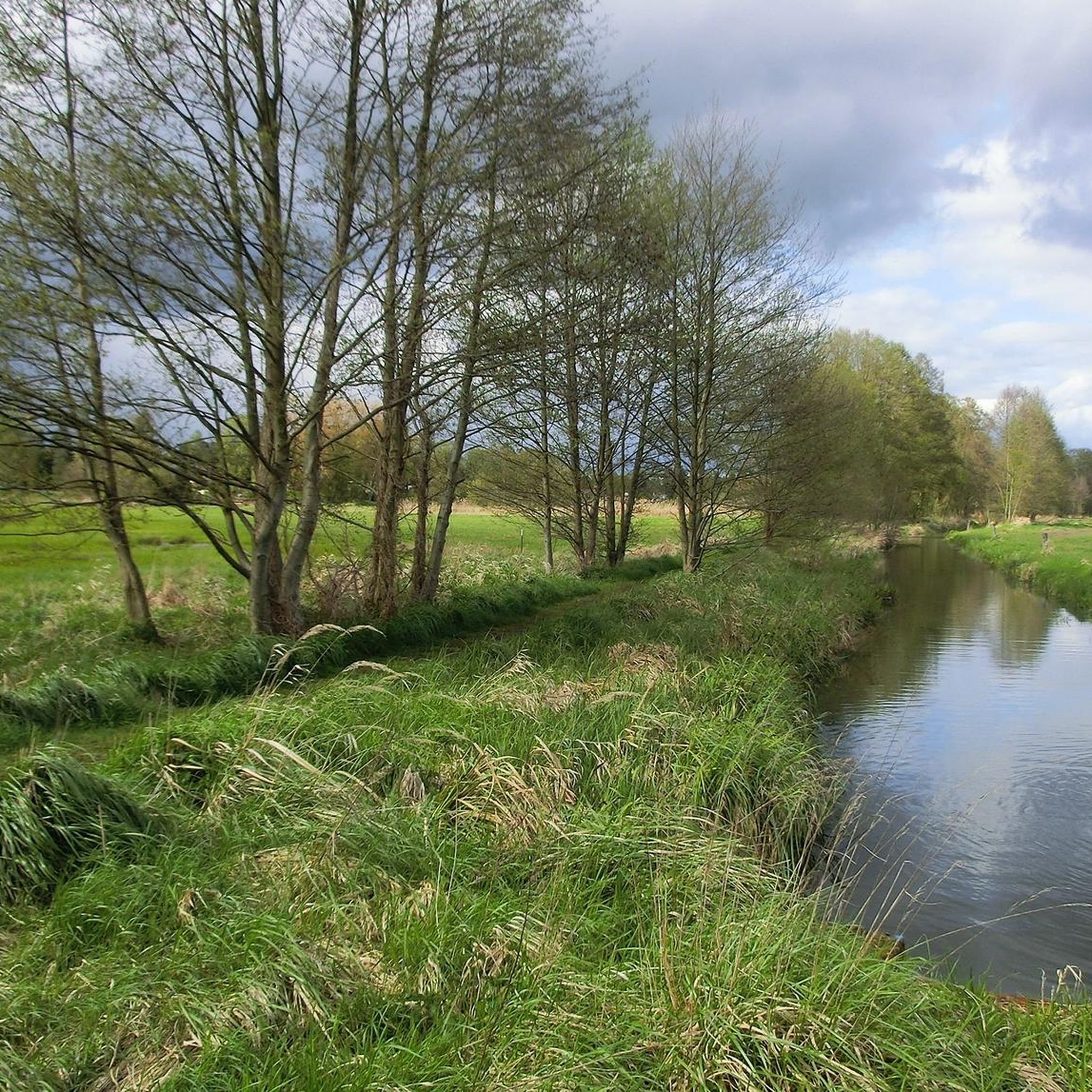
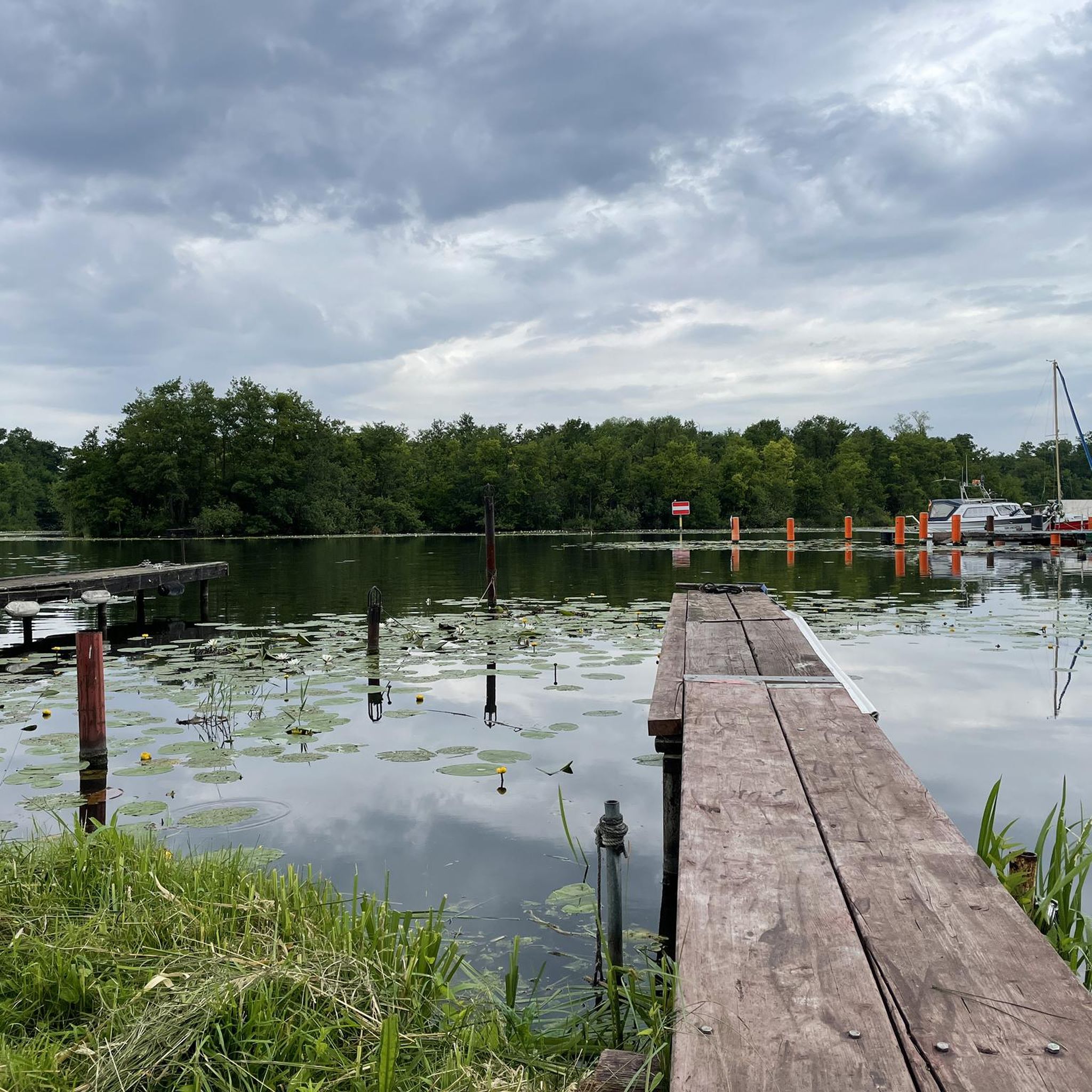
Road cycling in Müggelspreeniederung Köpenick offers diverse scenery, including routes along the Spree river and around lakes, interspersed with sections through woodlands. You can explore highlights like the Bridge Over the Old Spree Arm or cycle along the Asphalt cycle path through the Müggelspree Forest.
Are there circular road cycling routes in Müggelspreeniederung Köpenick?
Many of the road cycling routes in Müggelspreeniederung Köpenick are designed as loops, allowing you to start and end at the same point. An example is the Triglaw Bridge – Bridge Over the Old Spree Arm loop from Müggelheim, which offers scenic sections crossing the Old Spree Arm.
What is the best time of year for road cycling in Müggelspreeniederung Köpenick?
The best time for road cycling in Müggelspreeniederung Köpenick is typically from spring to autumn (April to October), when the weather is mild and the natural park is in full bloom. The smooth paths are enjoyable in pleasant conditions.
Can I go road cycling in Müggelspreeniederung Köpenick during winter?
While some routes may be accessible, winter conditions can vary. It's advisable to check local weather forecasts and trail conditions, as some paths might be icy or covered in snow, especially in forested areas. The flat terrain can make it manageable on clear, dry winter days.
What natural attractions can I discover while road cycling?
The region is rich in natural beauty. You can cycle past the Krumme Laake lake, explore the Gosener Wiesen Nature Reserve, or even spot beaver activity near Kaniswall and the Kaniswallgraben Beaver Habitat.
Are there places to stop for refreshments or food along the routes?
Yes, given the proximity to Berlin and surrounding towns, you'll find various cafes, restaurants, and beer gardens in the villages and towns bordering the natural park, such as Erkner or Köpenick. Many routes pass through or near these areas, offering convenient stops.
What do other road cyclists say about the routes in Müggelspreeniederung Köpenick?
The road cycling routes in Müggelspreeniederung Köpenick are highly rated by the komoot community, with an average score of 4.5 stars from over 1000 reviews. Cyclists often praise the quiet, smooth asphalt paths, the beautiful waterside views, and the peaceful forested sections.
Where can I park my car when visiting for road cycling?
Parking is generally available in the towns and villages surrounding the Müggelspreeniederung Köpenick area, such as Erkner, Wilhelmshagen, or Müggelheim. Look for designated parking areas near train stations or public access points to the natural park.
How long are the typical road cycling routes in this area?
Route lengths vary significantly, from shorter loops perfect for a quick ride to extensive tours. For instance, you can find routes like the Spree Bridge Hunter's Hut – River Spree loop from Erkner, which is about 12.1 miles (19.4 km), up to much longer options like the 63.8-mile (102.7 km) Cycle path Trebus–Jänickendorf – Kagel–Kienbaum Cycle Path loop from Erkner.
Most popular routes in Müggelspreeniederung Köpenick
Most popular attractions in Müggelspreeniederung Köpenick

Get inspired with the komoot mobile app


Explore more
Browse the best Road cycling routes in other regions.
