The best running trails in Mühlenfließ Und Sägebach
4.4
(84)
754
runners
81
runs
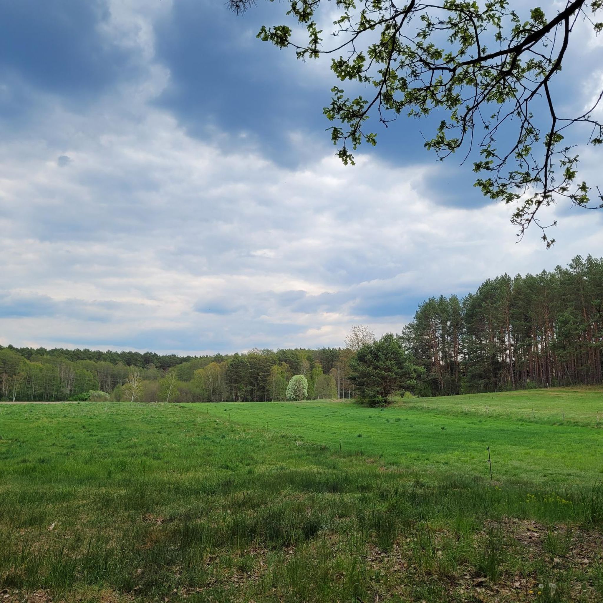
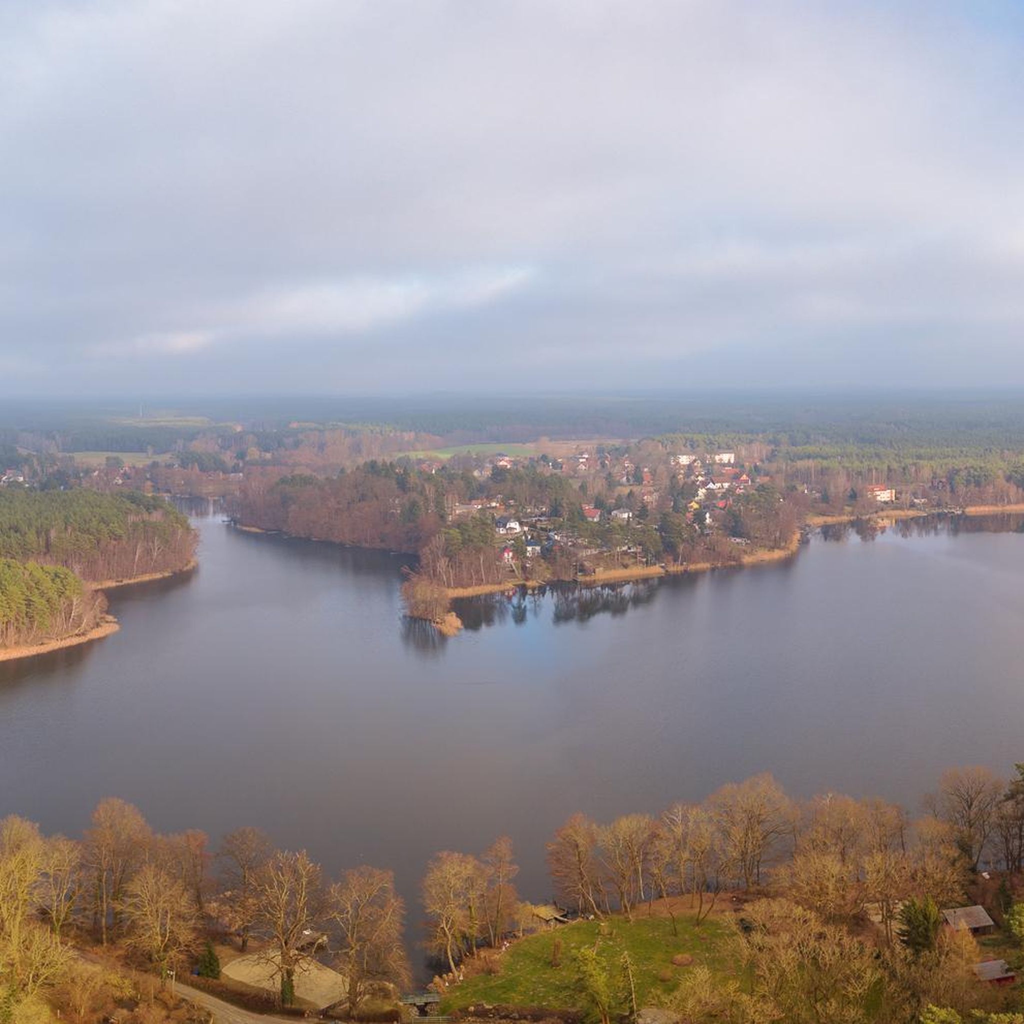
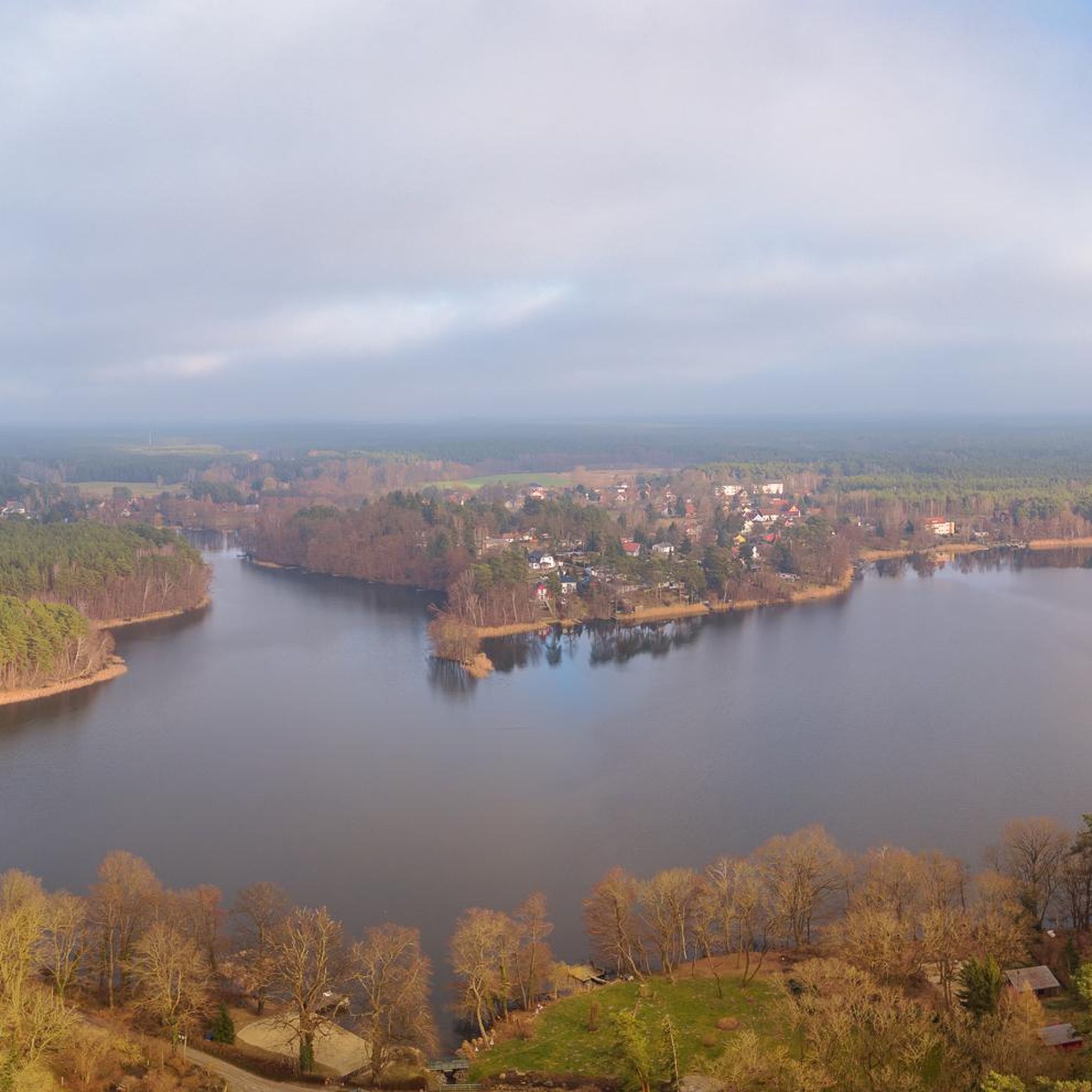
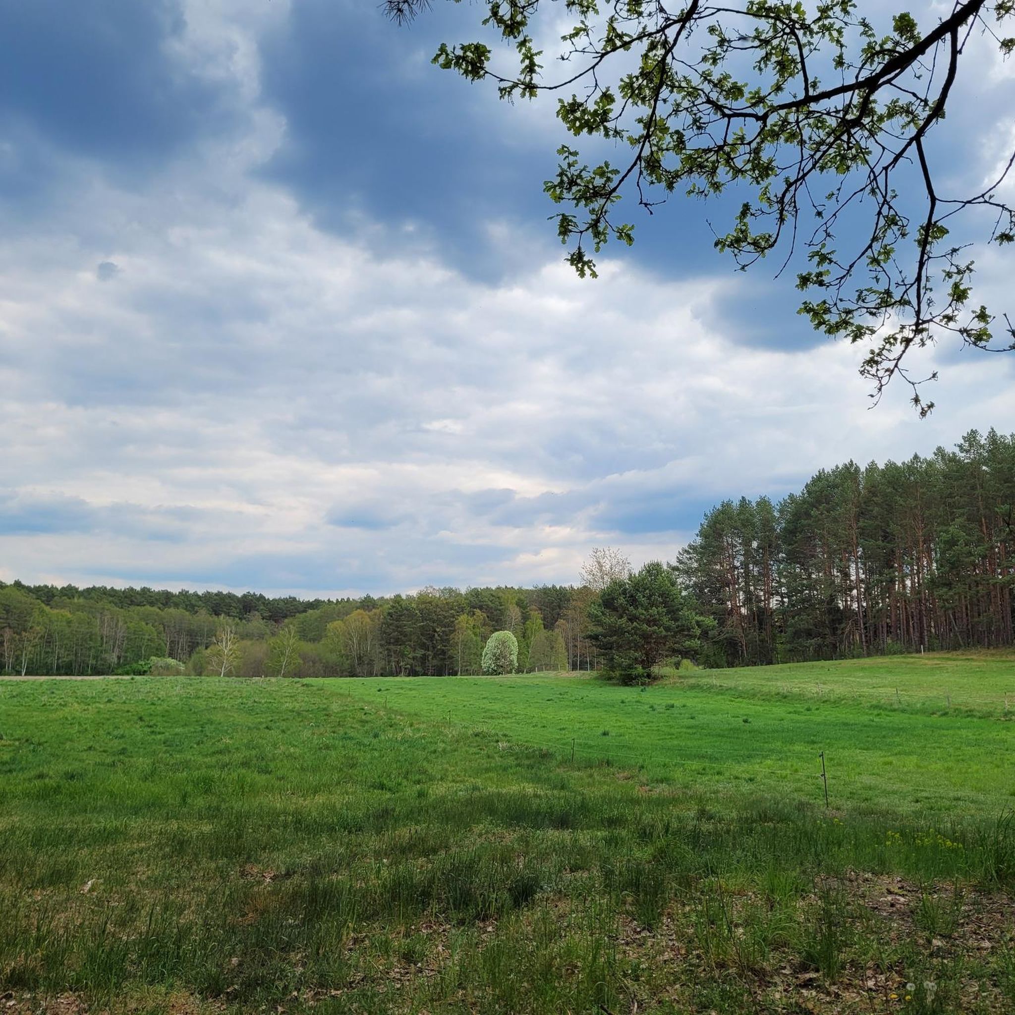
Jogging routes in Mühlenfließ Und Sägebach traverse a structurally rich lowland complex, featuring spring-fed slopes and distinctive hill formations topped with dry grasslands. The area is characterized by near-natural flowing waters, the Mühlenfließ and Sägebach, which eventually drain into the Teupitzer See. Runners will find a mosaic of wet grasslands, calcareous fens, and alder-ash forests lining the streams, providing varied natural settings. This region offers a mix of flat and gently undulating paths suitable for different running intensities.
Best jogging…
Last updated: July 10, 2026
4.3
(3)
22
runners
17.4km
01:57
70m
70m
Hard run. Very good fitness required. Mostly paved surfaces. Suitable for all skill levels.
5.0
(1)
7
runners
4.73km
00:30
20m
20m
Easy run. Great for any fitness level. Mostly paved surfaces. Suitable for all skill levels.

Sign up for free
5.0
(1)
6
runners
10.4km
01:08
50m
50m
Moderate run. Good fitness required. Mostly paved surfaces. Suitable for all skill levels.
5.0
(1)
2
runners
5.63km
00:38
30m
30m
Moderate run. Good fitness required. Mostly paved surfaces. Suitable for all skill levels.
3
runners
4.00km
00:26
10m
10m
Easy run. Great for any fitness level. Mostly paved surfaces. Suitable for all skill levels.
Get access to more routes and recommendations from other explorers.
Sign up for free
Already have an account?
Our route recommendations are based on thousands of hikes, rides, and runs completed by other people on komoot.
Start today with a free account
Your next adventure awaits.
Login or Signup
Popular around Mühlenfließ Und Sägebach
Tips from the Community

At the southern tip of Lake Briesensee, the landscape almost looks like a moor. Very original, wild and beautiful.
0
0

Hiking by the lake, beautiful nature, just the thing to clear your head!!!
0
0
Very nice view!!!
0
0


The bridge opens at 3:00 p.m. and from then on every 3 hours forwards or backwards. Then you have about 15 minutes. Otherwise the bridge is always usable by cars and cyclists.
1
0
Take a short break and enjoy the view! Great idea to take the cycle path over the lake!
1
0
Part of the cycle path between Groß Köris and Teupitz leads over a bridge over the lake. Great view and a nice idea as there would otherwise have been no space for a cycle path.
0
0

Maintained by the therapy groups.
0
0
Frequently Asked Questions
How many running routes are available in Mühlenfließ Und Sägebach?
There are over 80 dedicated running routes in Mühlenfließ Und Sägebach, offering a wide variety of distances and difficulty levels for joggers.
What kind of terrain can I expect on the jogging trails in Mühlenfließ Und Sägebach?
The region features a structurally rich lowland complex with spring-fed slopes and distinctive hill formations, offering a mix of flat and gently undulating paths. You'll encounter varied terrain suitable for different running intensities.
Are there routes suitable for beginners or those looking for an easy run?
Yes, Mühlenfließ Und Sägebach offers 12 easy running routes. A great option for a gentle run is the Mittelmühle – Inn at the Mittelmühle loop from Teupitz, an easy 2.9-mile (4.7 km) path featuring gentle terrain.
What natural features will I see while running in Mühlenfließ Und Sägebach?
Joggers can enjoy picturesque flowing waters like the Mühlenfließ and Sägebach, which eventually drain into the Teupitzer See. The landscape also features a mosaic of wet grasslands, calcareous fens, and alder-ash forests, providing a diverse and refreshing natural environment.
Are there any challenging running trails in the area?
For those seeking a challenge, Mühlenfließ Und Sägebach has 19 difficult routes. The View of Lake Teupitz – Boardwalk Over the Lake loop from Teupitz is a difficult 10.9-mile (17.6 km) trail that offers expansive views and includes a unique boardwalk section over the water.
What do other runners say about the trails in Mühlenfließ Und Sägebach?
The running routes in Mühlenfließ Und Sägebach are highly rated by the komoot community, with an average score of 4.5 stars from over 80 reviews. Runners often praise the varied terrain and the scenic beauty of the flowing waters and forests.
Are there any circular running routes available?
Yes, many routes in the region are circular. For example, the Tornow Lake Nature Trail – Lake Tornow loop from Teupitz is a 6.4-mile (10.4 km) circular trail that takes you around Lake Tornow.
Can I bring my dog on the running trails?
While specific dog-friendly designations for each route are not provided, the nature reserve generally welcomes visitors. It's always recommended to keep dogs on a leash, especially in nature protection areas, to protect wildlife and ensure a pleasant experience for all.
Are there any family-friendly running options?
Many of the easier and moderate routes are suitable for families. The The Old Campsite at Tornowsee – Mittelmühle loop from Teupitz is an easy 2.5-mile (4 km) route that could be a good option for a family outing.
What landmarks or points of interest can I see along the running routes?
Along your runs, you might encounter interesting spots such as the historic Mittelmühle or the tranquil Briesensee and Klingeberg Nature Reserve. The area also features the Hohe Mühle Nature Trail.
How accessible are the running trails by public transport or car?
The Mühlenfließ Und Sägebach nature reserve can be easily accessed from the L74 via the districts of Neuendorf and Tornow, suggesting good car access. For public transport, it's advisable to check local bus schedules to nearby towns like Teupitz, which serves as a common starting point for many routes.
When is the best time of year to go running in Mühlenfließ Und Sägebach?
The diverse landscape with its flowing waters and lush vegetation makes Mühlenfließ Und Sägebach enjoyable throughout much of the year. Spring and autumn offer pleasant temperatures and beautiful scenery, while summer provides vibrant greenery. Winter runs can be serene, but always check local conditions.
Most popular routes in Mühlenfließ Und Sägebach
Most popular attractions in Mühlenfließ Und Sägebach

Get inspired with the komoot mobile app


Explore more
Browse the best Running Trails & Routes in other regions.
