The best walks and hikes in Lugkteichgebiet
4.7
(46)
228
hikers
44
hikes
Hiking in Lugkteichgebiet offers a network of trails within a natural park setting in Elbe-Elster. The region is characterized by its low elevation gains, making it suitable for accessible outdoor activities. Hikers can expect to encounter diverse landscapes, including forested areas, open spaces, and features like ponds and gentle dunes. The terrain provides varied experiences for different hiking preferences.
Best hiking trails in Lugkteichgebiet
- The most popular hiking route is Hiking loop from Lugkteichgebiet, a 5.4 miles (8.6 km)…
Last updated: October 13, 2026
4.5
(2)
7
hikers
8.60km
02:11
20m
20m
Moderate hike. Good fitness required. Easily-accessible paths. Suitable for all skill levels.
2
hikers
11.5km
02:55
30m
30m
Moderate hike. Good fitness required. Easily-accessible paths. Suitable for all skill levels.

2
hikers
6.60km
01:41
20m
20m
Easy hike. Great for any fitness level. Easily-accessible paths. Suitable for all skill levels.
5.0
(1)
2
hikers
7.72km
01:58
20m
20m
Easy hike. Great for any fitness level. Easily-accessible paths. Suitable for all skill levels.
5.0
(12)
18
hikers
3.77km
00:57
10m
10m
Easy hike. Great for any fitness level. Easily-accessible paths. Suitable for all skill levels.
Get access to more routes and recommendations from other explorers.
Already have an account?
Our route recommendations are based on thousands of hikes, rides, and runs completed by other people on komoot.
Start today with a free account
Your next adventure awaits.
Tips from the Community

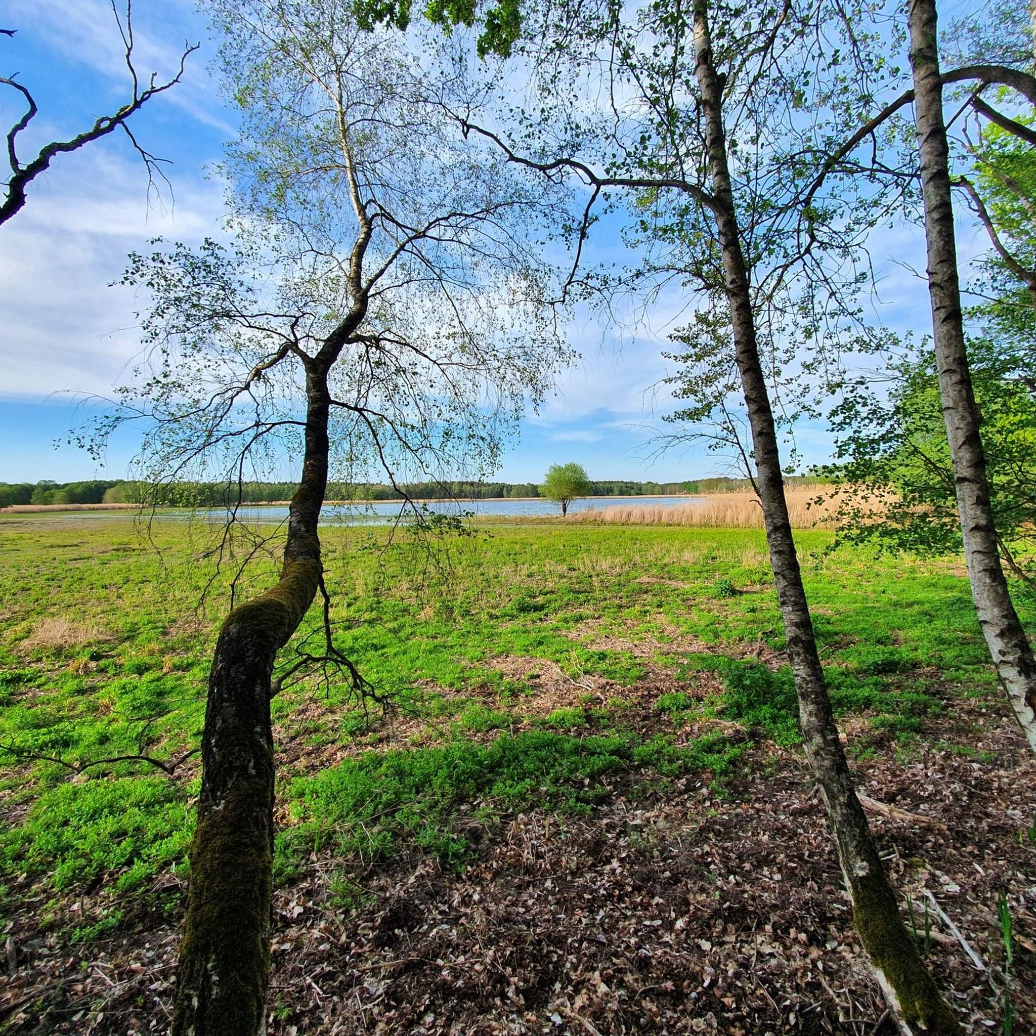
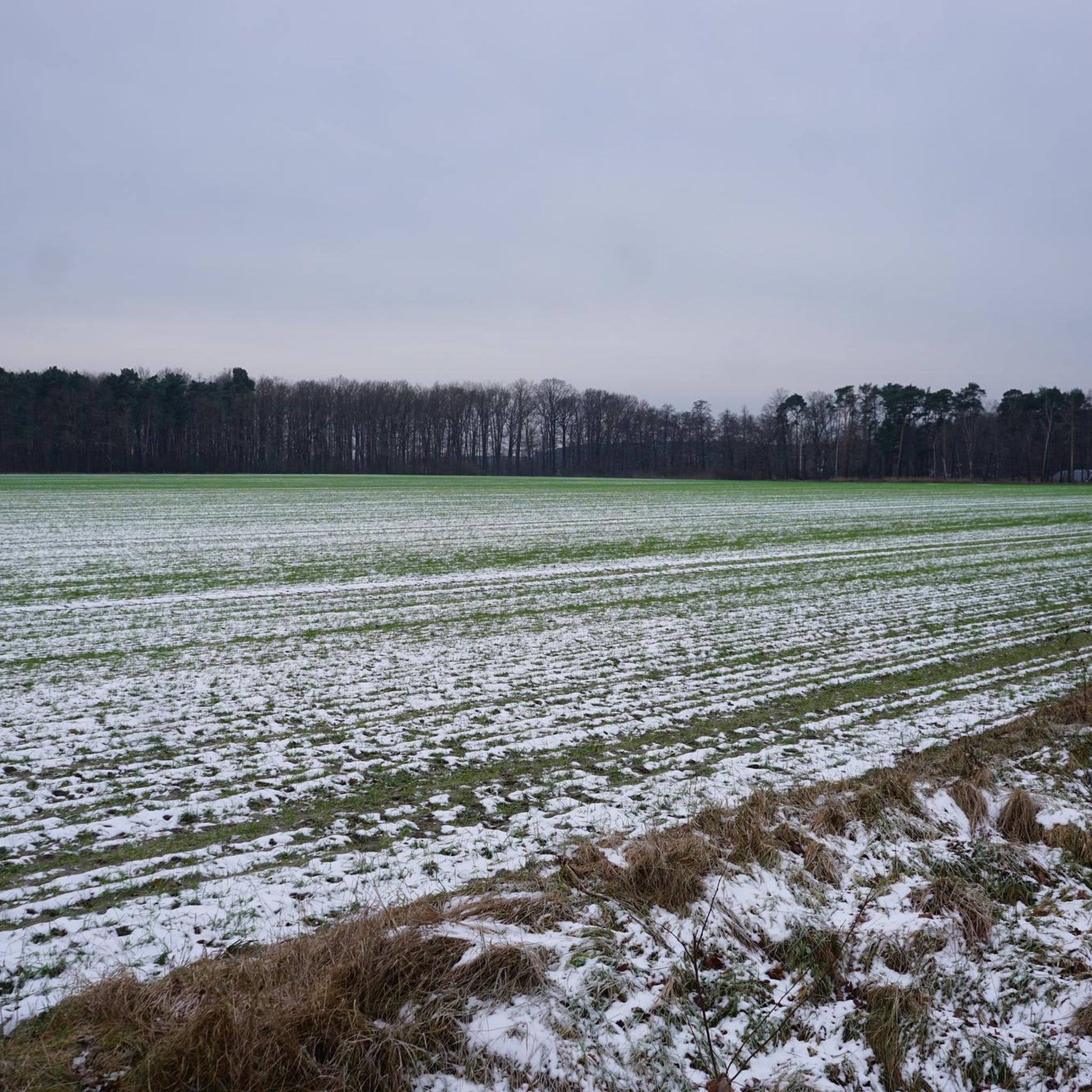
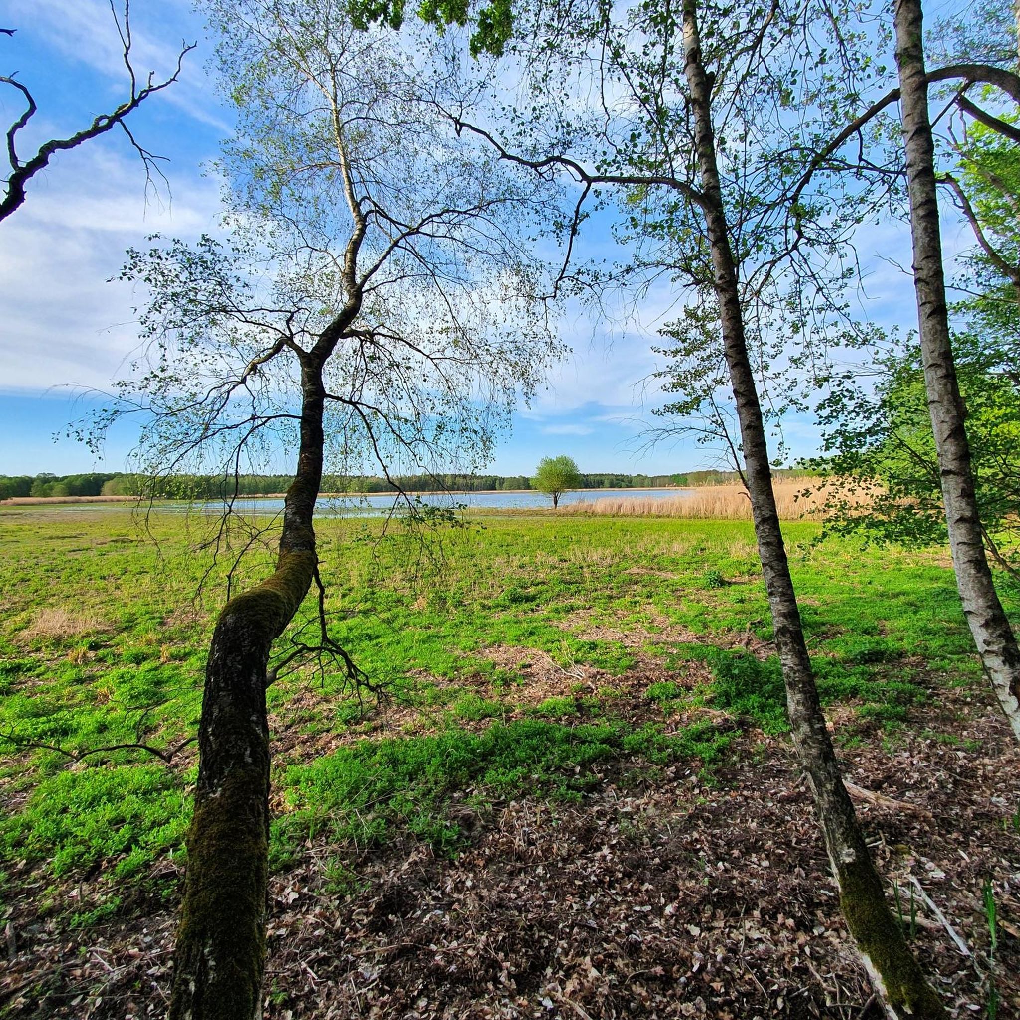
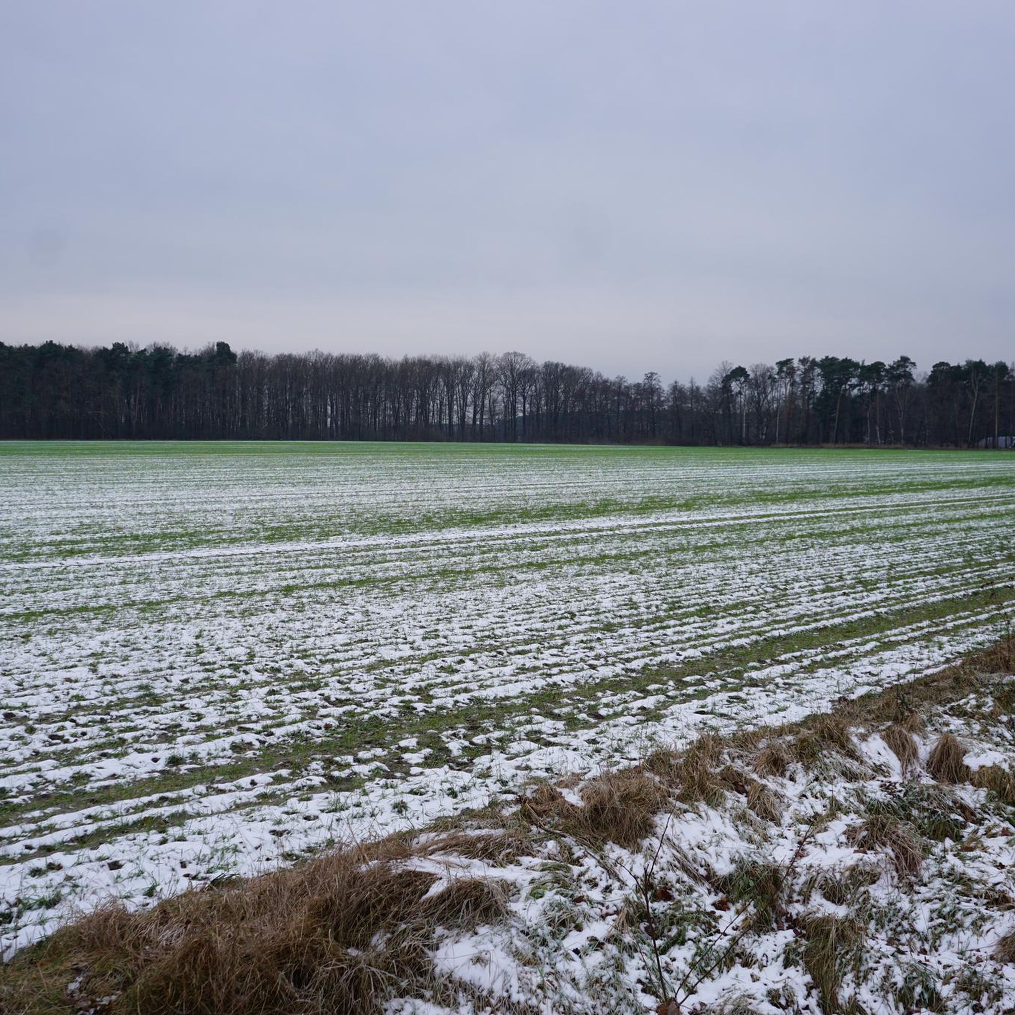
The paths through the forests of Brandenburg can sometimes be very straight and long. Sometimes such a resting place comes in very handy. 😊👍
0
0

Ducks, swans and beavers every now and then.
0
0
Frequently Asked Questions
What kind of terrain can I expect when hiking in Lugkteichgebiet?
Lugkteichgebiet is characterized by a natural park setting with low elevation gains. You'll find a diverse landscape featuring forested areas, open spaces, tranquil ponds, and gentle dune formations, offering varied experiences for different hiking preferences.
How many hiking trails are available in Lugkteichgebiet?
There are over 45 hiking routes in Lugkteichgebiet, catering to various skill levels. This includes 21 easy trails, 25 moderate routes, and one more challenging option.
Are there any family-friendly hiking options in Lugkteichgebiet?
Yes, with its low elevation gains and numerous easy trails, Lugkteichgebiet is well-suited for families. Routes like the Kleinkrausnik Dune loop from Lugkteichgebiet, an easy 4.1-mile (6.6 km) path, offer a pleasant experience for all ages.
Are there any circular hiking routes in Lugkteichgebiet?
Many of the trails in Lugkteichgebiet are designed as loops, allowing you to start and end at the same point. Examples include the moderate Hiking loop from Lugkteichgebiet or the scenic Spider at the Lugkteich loop from Lugkteichgebiet.
What do other hikers say about the trails in Lugkteichgebiet?
The trails in Lugkteichgebiet are highly rated by the komoot community, with an average score of 4.8 stars from over 30 reviews. Hikers often praise the varied terrain, the peaceful natural park setting, and the well-maintained paths suitable for different abilities.
What is the best time of year to go hiking in Lugkteichgebiet?
Given the region's diverse landscapes of forests, open spaces, and ponds, Lugkteichgebiet is enjoyable throughout much of the year. Spring and autumn offer pleasant temperatures and beautiful scenery, while summer provides lush greenery. Winter hiking is also possible, though conditions may vary.
Are dogs allowed on the hiking trails in Lugkteichgebiet?
Generally, dogs are welcome on hiking trails in German natural areas, often on a leash. While specific regulations for Lugkteichgebiet should be checked locally, the varied terrain and open spaces typically make it a dog-friendly destination for responsible owners.
Are there any specific natural features or viewpoints to look out for?
Lugkteichgebiet is known for its tranquil ponds and gentle dune formations, which offer unique natural beauty. The trails often lead through forested areas and open spaces, providing opportunities for scenic views of the regional landscape.
Is public transport available to access hiking trailheads in Lugkteichgebiet?
Many natural landscapes in Germany are accessible by public transport, promoting climate-friendly travel. While specific routes to Lugkteichgebiet trailheads should be verified, it's often possible to reach starting points via local bus or train services.
Are there any easy trails suitable for beginners or a leisurely walk?
Yes, Lugkteichgebiet offers 21 easy trails, perfect for beginners or those seeking a relaxed stroll. An example is the Kleinkrausnik Dune loop from Lugkteichgebiet, which is 4.1 miles (6.6 km) long and takes about 1 hour 41 minutes to complete.
Are there any cafes or restaurants near the hiking trails in Lugkteichgebiet?
While specific establishments along the trails are not detailed, many German hiking regions integrate cultural and historical points of interest, including charming villages that often host cafes and restaurants. It's advisable to check local amenities in nearby towns like Sonnewalde for options.
Most popular routes in Lugkteichgebiet

Get inspired with the komoot mobile app


Explore more
Browse the best Hikes in other regions.
