The best walks and hikes in CharlottenHöhe
4.6
(821)
3,367
hikers
166
hikes
Hiking in CharlottenHöhe offers diverse trails through the Uckermark region, characterized by its numerous lakes, tranquil ponds, and extensive forested areas. The landscape features gentle elevation changes, making many routes accessible for various skill levels. Trails often traverse natural surfaces, including forest paths and unpaved sections, providing a natural outdoor experience.
Best hiking trails in CharlottenHöhe
- The most popular hiking route is Stone Ruins at Charlottenhöhe – Lake in Uckermark loop from Charlottenhöhe, a 4.0 miles (6.4 km) trail…
Last updated: August 22, 2026
4.4
(5)
23
hikers
Easy hike. Great for any fitness level. Easily-accessible paths. Suitable for all skill levels.
4.0
(4)
16
hikers
Moderate hike. Good fitness required. Easily-accessible paths. Suitable for all skill levels.

Sign up for free
4
hikers
Easy hike. Great for any fitness level. Easily-accessible paths. Suitable for all skill levels.
5.0
(1)
3
hikers
Easy hike. Great for any fitness level. Easily-accessible paths. Suitable for all skill levels.
4.4
(8)
31
hikers
Easy hike. Great for any fitness level. Easily-accessible paths. Suitable for all skill levels.
Get access to more routes and recommendations from other explorers.
Sign up for free
Already have an account?
Our route recommendations are based on thousands of hikes, rides, and runs completed by other people on komoot.
Start today with a free account
Your next adventure awaits.
Login or Signup
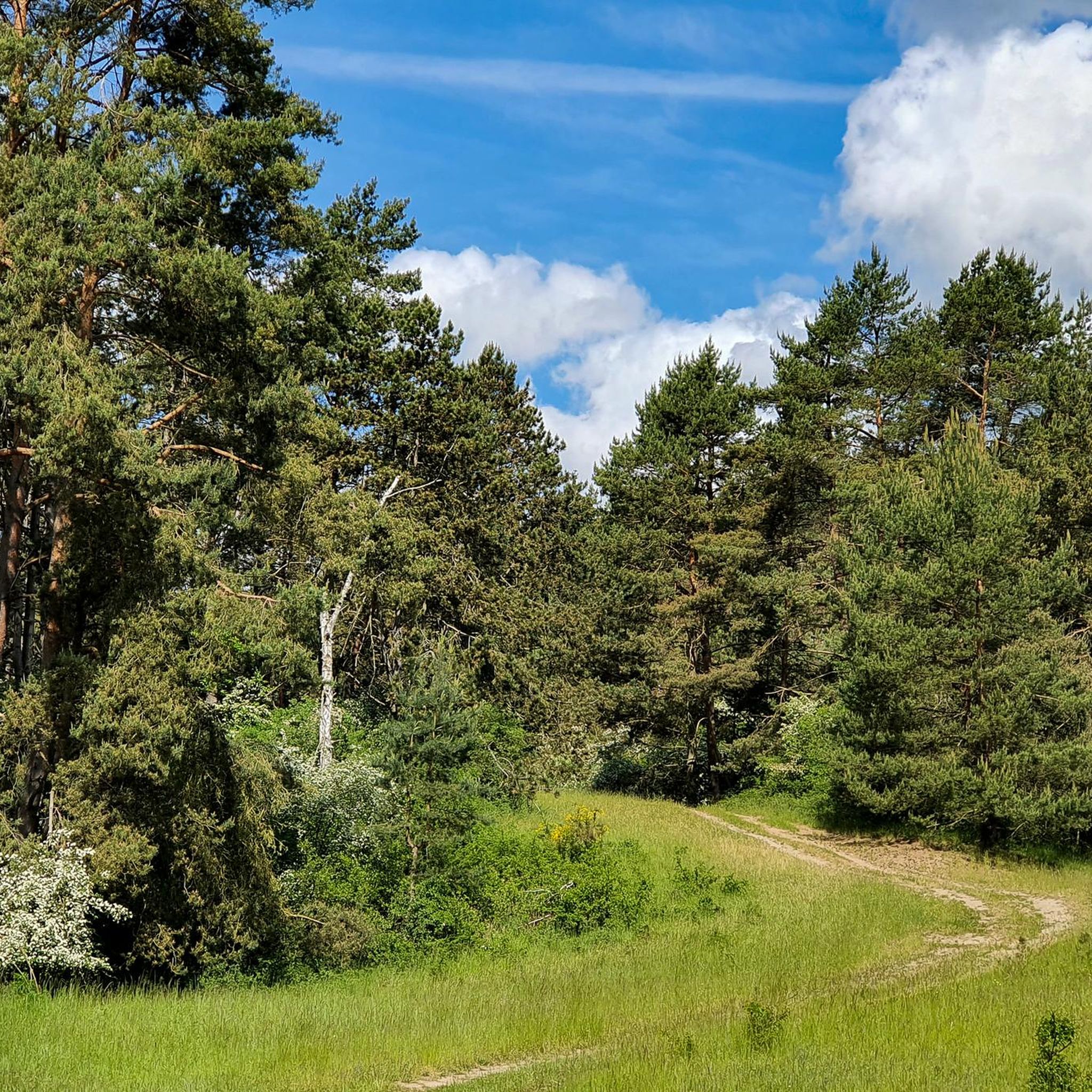
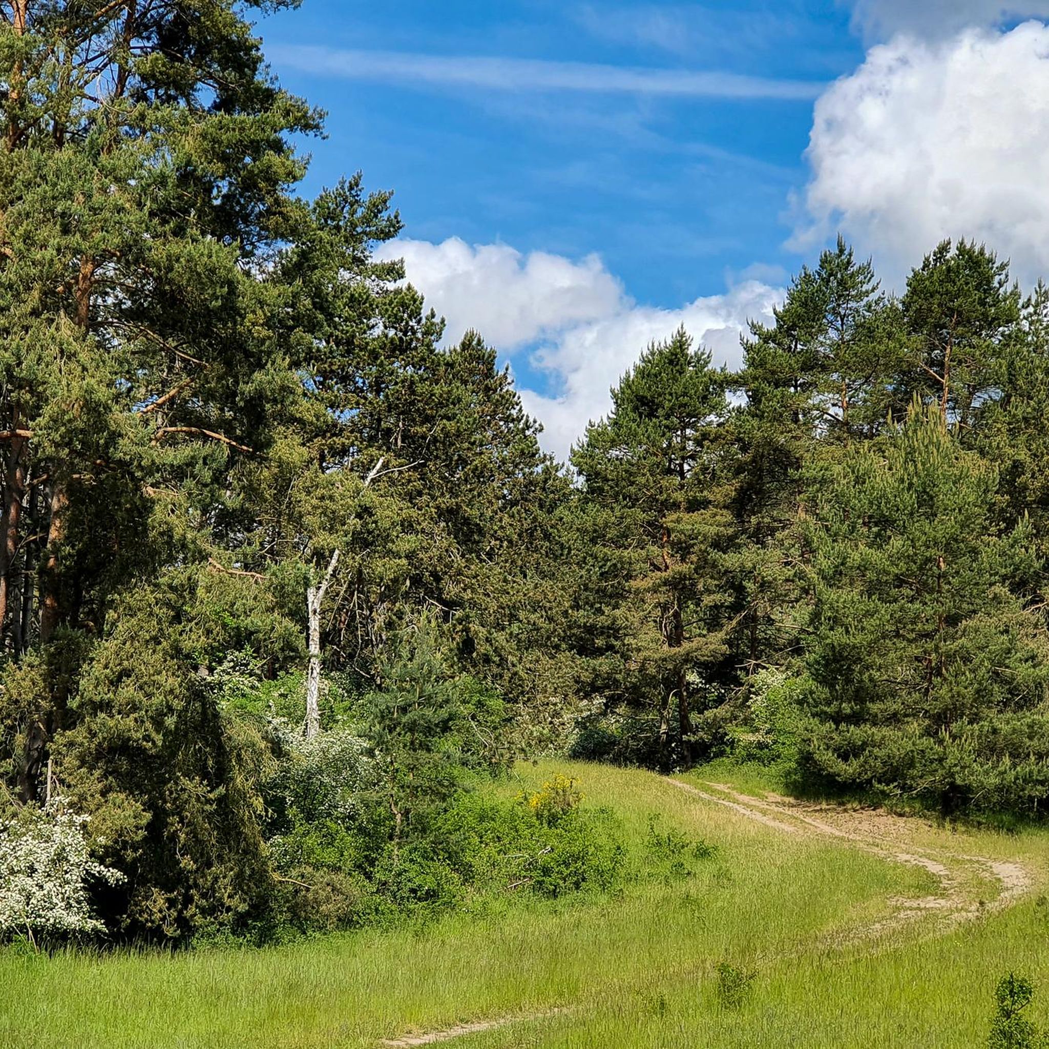
Tips from the Community

The hike is nice for a short trip from Prenzlau, but not worth the journey from Berlin.
1
0

this is Cross Country MTB heaven, natural path and single tracks, some nice hills and downhill section, so goooood.
0
0

NSG on a former military training area. There are all sorts of signs warning you that it is a wolf's roaming area - but I didn't see one. But I did see more Thyme Burnet Moths than I've ever seen anywhere else before; that was phenomenal (and certainly lucky timing).
0
0

When crossing a small depression, everyone gets their money's worth :)
0
1
With a view of the lake, it is easy to rest.
0
0
Offers a wide view of the landscape
0
0
A nice resting place in both summer and winter
2
0
Frequently Asked Questions
How many hiking trails are available in Charlottenhöhe?
Charlottenhöhe offers a wide selection of hiking opportunities, with over 170 trails to explore. These range from easy strolls to more challenging excursions, ensuring there's something for every hiker.
What types of terrain can I expect on Charlottenhöhe's hiking trails?
The trails in Charlottenhöhe primarily feature natural surfaces, including forest paths and unpaved sections. You'll encounter gentle elevation changes, making many routes accessible while still providing a natural outdoor experience through its lakes, ponds, and dense forests.
Are there any easy hiking trails suitable for beginners in Charlottenhöhe?
Yes, Charlottenhöhe is very welcoming for beginners, with over 100 easy trails. A great option is the Pond in Uckermark loop from Charlottenhöhe, a 2.8-mile (4.4 km) path through forested areas and past a tranquil pond.
What do other hikers enjoy most about Charlottenhöhe's trails?
The komoot community highly rates Charlottenhöhe, with an average score of 4.5 stars from over 700 reviews. Hikers often praise the serene natural environment, the diverse network of trails, and the opportunities to explore its lakes, ponds, and dense forests.
Are there any circular hiking routes in Charlottenhöhe?
Many of Charlottenhöhe's trails are designed as loops, offering convenient circular routes. For example, the Stone Ruins at Charlottenhöhe – Lake in Uckermark loop from Charlottenhöhe is an easy 4.0-mile (6.4 km) trail that circles a lake and passes historical stone ruins.
Are there any historical sites or landmarks to see while hiking in Charlottenhöhe?
Yes, some trails incorporate historical elements. The Stone Ruins at Charlottenhöhe – Lake in Uckermark loop from Charlottenhöhe passes by historical stone ruins, offering a glimpse into the area's past.
Are there any trails that feature a suspension bridge in Charlottenhöhe?
Yes, you can find a suspension bridge on some routes. The Suspension Bridge in Uckermark – Stone Ruins at Charlottenhöhe loop from Charlottenhöhe is a moderate 5.6-mile (9.0 km) path that connects a suspension bridge with historical sites, providing varied scenery.
What kind of natural features can I expect to see on a hike in Charlottenhöhe?
Charlottenhöhe is characterized by its numerous lakes, tranquil ponds, and extensive forested areas. Hikers can enjoy serene natural environments, often encountering diverse flora and fauna along the paths.
Are there any trails that lead through an acacia forest?
Yes, for a unique forest experience, consider the Stone Ruins at Charlottenhöhe – Acacia Forest loop from Charlottenhöhe. This easy 3.0-mile (4.8 km) trail offers a pleasant walk through an acacia forest.
How long do hikes in Charlottenhöhe typically take?
Hiking durations vary depending on the trail's length and difficulty. For instance, an easy route like the Pond in Uckermark loop from Charlottenhöhe can be completed in about 1 hour 10 minutes, while a moderate 5.6-mile (9.0 km) trail might take around 2 hours 25 minutes.
What is the overall difficulty level of hiking in Charlottenhöhe?
Charlottenhöhe offers a range of difficulties, with the majority of trails being easy (over 100 routes) or moderate (around 60 routes). There are also a few more challenging options for experienced hikers.
Most popular routes in CharlottenHöhe

Get inspired with the komoot mobile app


Explore more
Browse the best Hikes in other regions.
