The best walks and hikes in Gehron-See
4.6
(1467)
5,210
hikers
158
hikes
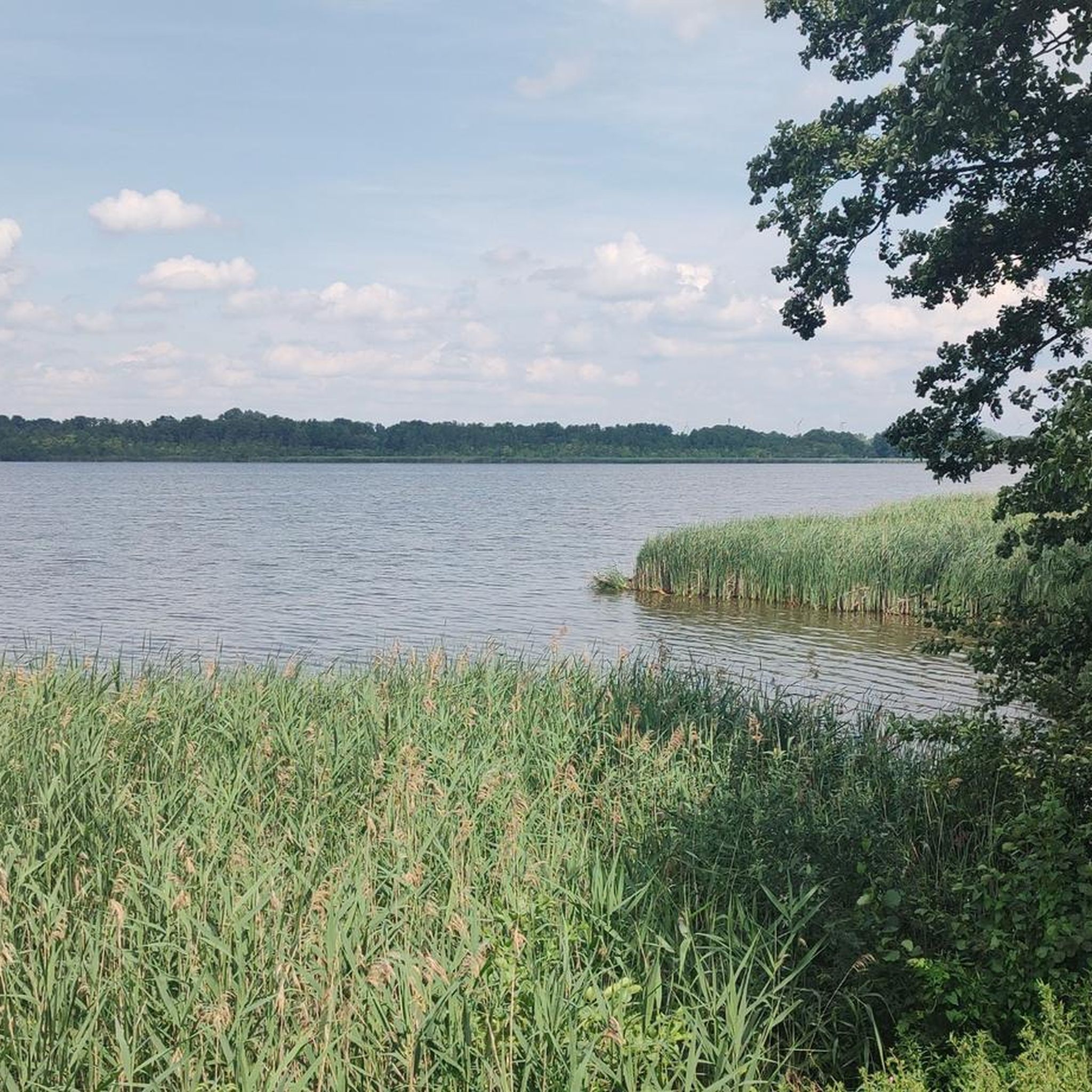
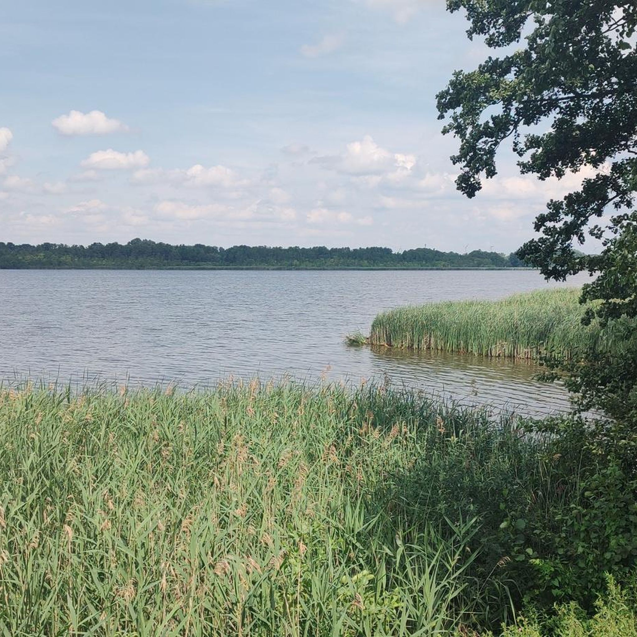
Hiking in Gehron-See offers trails through a natural park located in Oberhavel, characterized by woodlands and open areas typical of the Brandenburg region. The terrain features generally low elevation changes, making many routes accessible. This low-lying landscape provides a calm environment for outdoor activities, often incorporating historical town features.
Best hiking trails in Gehron-See
- The most popular hiking route is Franciscan Monastery Gransee – Ritter Kuno Statue loop from Gransee, a 6.6 miles (10.6 km) trail that takes 2…
Last updated: June 28, 2026
4.2
(6)
10
hikers
Moderate hike. Good fitness required. Easily-accessible paths. Suitable for all skill levels.
5.0
(4)
8
hikers
Moderate hike. Good fitness required. Easily-accessible paths. Suitable for all skill levels.

Sign up for free
5.0
(1)
8
hikers
Easy hike. Great for any fitness level. Easily-accessible paths. Suitable for all skill levels.
6
hikers
5.32km
01:24
50m
50m
Easy hike. Great for any fitness level. Easily-accessible paths. Suitable for all skill levels.
3.0
(2)
2
hikers
Easy hike. Great for any fitness level. Easily-accessible paths. Suitable for all skill levels.
Get access to more routes and recommendations from other explorers.
Sign up for free
Already have an account?
Our route recommendations are based on thousands of hikes, rides, and runs completed by other people on komoot.
Start today with a free account
Your next adventure awaits.
Login or Signup
Tips from the Community

An imposing church: open daily, but only from 11 a.m.
1
0

The monument, built in 1900, commemorates the German Wars of Unification in 1864 (German-Danish War), 1866 (Austro-Prussian War) and 1870/71 (Franco-Prussian War).
0
0

The work of art was created by the sculptor Gerhard Rommel (1934–2014) and depicts a lifelike depiction of a couple. Rommel is said to have modeled the figures after his neighbors from Kraatz, where he lived and worked for many years.
0
0
It existed from around 1270/1280 until the mid-16th century and was located in the north of the city. The monks, also known as the "Grey Monks," built a Gothic brick church and a cloister, the eastern wing of which, with its cloister, has survived to this day. After several fires – the church in 1604, the west wing and cloister in 1711 – only the eastern cloister wing survived, which is now used as a cultural and exhibition space.
0
0
The history of Gransee's town halls dates back to the Middle Ages. The old town hall originally stood on the church square opposite the current building and served as a seat of public jurisdiction, warehouse, and trading center. It burned down in 1606 and 1621, but was rebuilt each time. The final loss came in the devastating town fire of 1711, which completely destroyed the building.
1
0
The statue commemorates the medieval knight Kuno von Falkenstein, although it is not directly connected to the Black Forest legend of the same name. Instead, the name serves as an artistic homage and a connection to the region's history and identity.
0
0
It originally belonged to one of the city's two hospitals and is one of the few remaining buildings whose outer walls have survived all major city fires—including the devastating fire of 1711. The chapel was rebuilt in 1715, while the adjacent hospital had to be completely rebuilt.
0
0
Gransee's historic city wall is approximately 1,750 meters long and is considered almost completely preserved. Dating back to the 14th century, it surrounded the medieval town as a fortification. The wall was built from 1330 onward and originally comprised 35 watchtowers, moats, and city gates.
1
0
Frequently Asked Questions
What is the typical terrain and difficulty of hiking trails in Gehron-See?
Hiking in Gehron-See is characterized by generally low elevation changes, making many routes accessible. The landscape typically features woodlands and open areas, common in the Brandenburg region. You'll find a mix of easy strolls and moderate loops, with a smaller number of more challenging routes.
How many hiking trails are available in Gehron-See?
Gehron-See offers a wide variety of hiking options, with over 160 trails recorded. This includes approximately 97 easy routes, 59 moderate routes, and 10 more difficult trails, catering to different fitness levels.
Are there many easy hiking options in Gehron-See?
Yes, Gehron-See is very well-suited for easy hikes. Over 90 of the available routes are classified as easy, often featuring minimal elevation gain and pleasant paths through natural parks and historical town features. An example is the Ruppiner Gate Gransee – St. Mary's Church Gransee loop from Gransee, which is an easy 2.7-mile path.
What natural features or landmarks can I see while hiking in Gehron-See?
While hiking in Gehron-See, you can explore various points of interest. Notable natural features include Gehron Lake and the Oberhavel Nature Reserve. You might also encounter historical town features like the Pulverturm and Ruppiner Gate in Gransee, which are part of routes like the Pulverturm Gransee – Ruppiner Gate Gransee loop from Gransee.
What do other hikers enjoy the most about hiking in Gehron-See?
The komoot community highly rates hiking in Gehron-See, with an average score of 4.5 stars from over 1300 reviews. Hikers often praise the calm environment provided by the woodlands and open areas, as well as the accessibility of many routes due to low elevation changes. The blend of natural park landscapes and historical town features is also frequently highlighted.
Are Gehron-See hiking trails suitable for families?
Given the generally low elevation changes and the abundance of easy routes, many trails in Gehron-See are suitable for families. These paths often lead through pleasant woodlands and open areas, providing a relaxed outdoor experience. Routes like the St. Mary's Church Gransee – Luise Memorial, Gransee loop from Gransee offer gentle walks that can be enjoyed by all ages.
Can I bring my dog on hikes in Gehron-See?
While specific regulations for dogs are not detailed, the natural park landscapes and open areas of Gehron-See generally provide a welcoming environment for dogs. It's always recommended to keep dogs on a leash, especially in nature reserves or near wildlife, and to check local signage for any specific restrictions on individual trails.
Are there many circular hiking routes in Gehron-See?
Yes, circular routes are a prominent feature of hiking in Gehron-See. Many of the popular trails are designed as loops, allowing you to start and end at the same point. Examples include the Franciscan Monastery Gransee – Ritter Kuno Statue loop from Gransee and the Pulverturm Gransee – Ruppiner Gate, Gransee loop from Gransee.
Is public transport available to reach hiking trails in Gehron-See?
While specific public transport links to every trailhead are not detailed, the region is located in Oberhavel, Brandenburg. Gransee, a town frequently mentioned in route names, typically has public transport connections. It's advisable to check local bus or train schedules for Gransee to plan your access to the trails.
Where can I park for hikes in Gehron-See?
For hikes starting near Gransee, you can generally find parking within or on the outskirts of the town. While specific parking lots for each trailhead are not listed, towns like Gransee usually offer public parking facilities. Look for designated parking areas when planning your visit.
Are there any challenging hikes in Gehron-See?
While Gehron-See is known for its accessible terrain, there are still options for those seeking a bit more challenge. The guide data indicates there are 10 trails classified as difficult. These routes may feature slightly longer distances or more varied terrain, though significant elevation changes are uncommon in the region.
Most popular routes in Gehron-See
Most popular attractions in Gehron-See

Get inspired with the komoot mobile app


Explore more
Browse the best Hikes in other regions.
