The best road cycling routes in Stremel
4.8
(29)
453
riders
22
rides
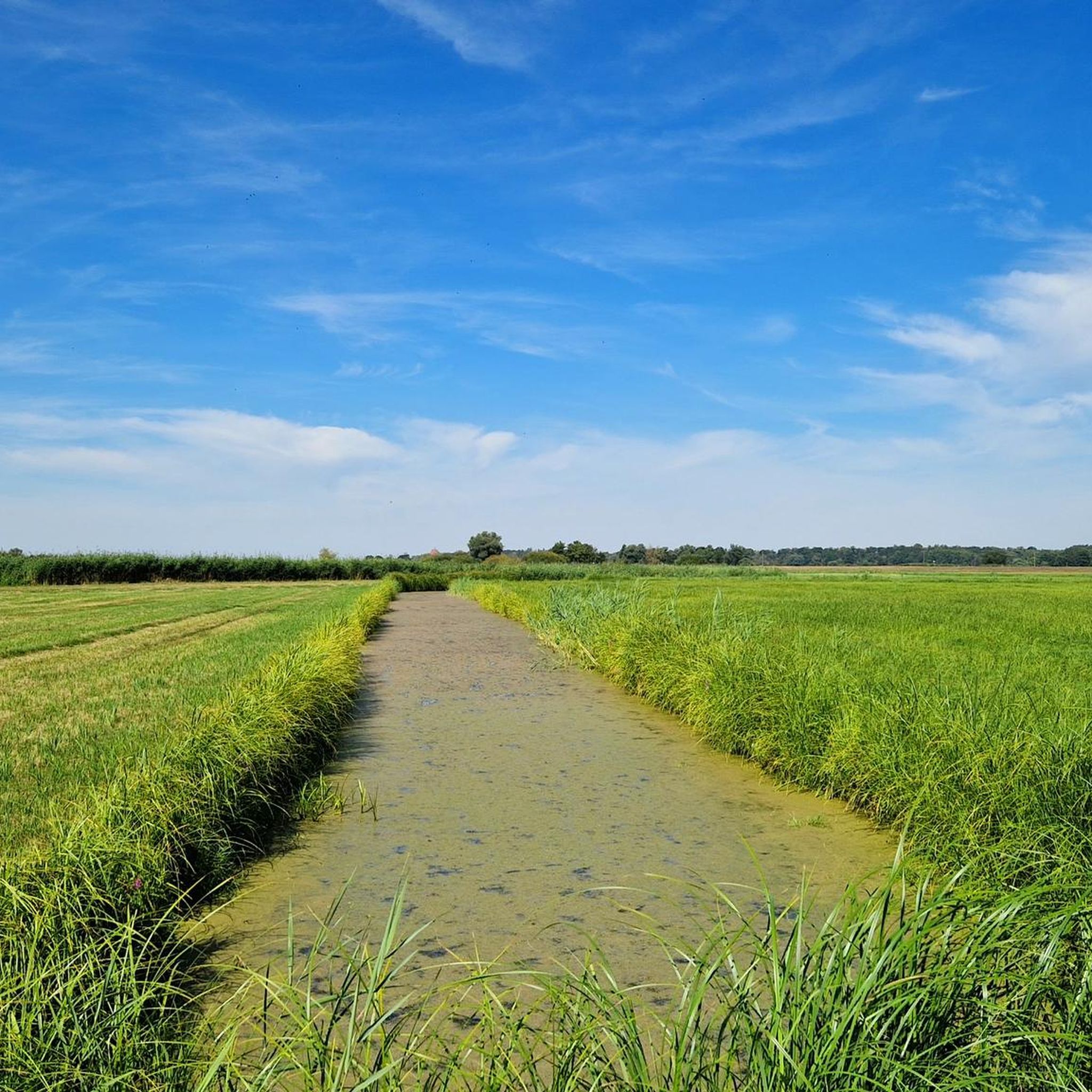
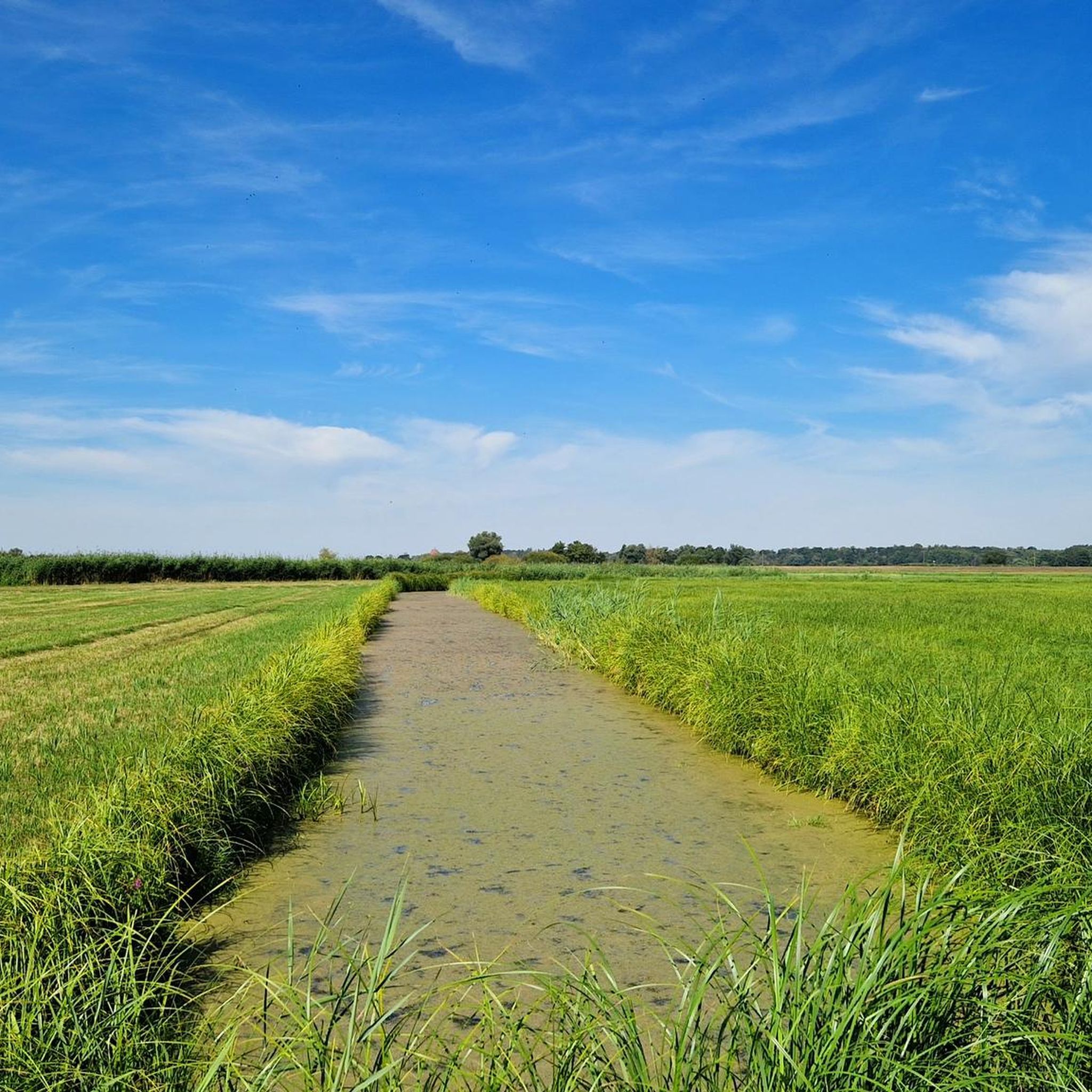
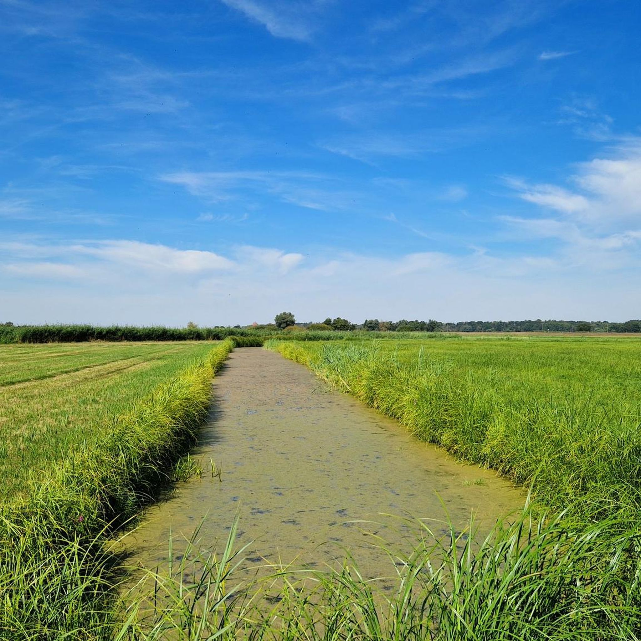
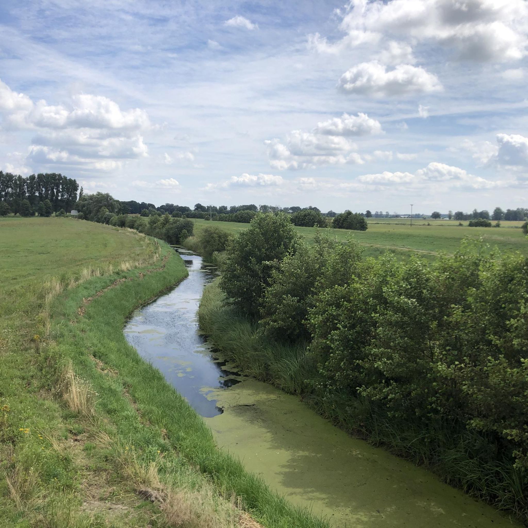
Road cycling in Stremel offers routes through a natural park located near Stendal, characterized by its low elevation changes and proximity to water features. The terrain is generally flat, with gentle hills, making it suitable for various skill levels. Routes often follow river paths, providing consistent surfaces for road bikes. The area's landscape is defined by its open views and natural surroundings.
Best road cycling routes in Stremel
- The most popular road cycling route is View of Havelberg – Neuwerben…
Last updated: June 28, 2026
5.0
(1)
20
riders
23.7km
01:01
60m
60m
Easy road ride. Great for any fitness level. Mostly well-paved surfaces and easy to ride.
5.0
(2)
40
riders
51.5km
02:33
70m
70m
Moderate road ride. Good fitness required. Some segments of this route may be unpaved and difficult to ride.

Sign up for free
5.0
(2)
21
riders
35.1km
01:21
50m
50m
Easy road ride. Great for any fitness level. Mostly well-paved surfaces and easy to ride.
5.0
(2)
22
riders
55.6km
02:20
140m
140m
Moderate road ride. Good fitness required. Some segments of this route may be unpaved and difficult to ride.
5.0
(3)
13
riders
72.9km
02:50
130m
130m
Moderate road ride. Good fitness required. Some segments of this route may be unpaved and difficult to ride.
Get access to more routes and recommendations from other explorers.
Sign up for free
Already have an account?
Our route recommendations are based on thousands of hikes, rides, and runs completed by other people on komoot.
Start today with a free account
Your next adventure awaits.
Login or Signup
Popular around Stremel
Tips from the Community

The different waterways with their water levels and different flood risks require some quite powerful weirs here in the region. This one too. Great technology!
0
0

Quiet route, rolls well through open fields, but susceptible to wind.
2
0
The cycle path alongside the road rolls well, no root damage and, in my opinion, preferable to the road when there is traffic.
2
0
At the weir group near Quitzdöbel, the Elbe, Havel, and Gnevsdorder outflowing waters converge. From here, there is a good view of the Havel estuary.
2
0
Initially, the road is paved with interlocking concrete slabs, but the road is easy to ride. Then, it's a perfect glide along the top of the dike with excellent asphalt. Plus, the view of the Elbe and Havel rivers, as well as the beautiful floodplain landscape. A great section.
2
0
Havelberg is the smallest of all Hanseatic cities and boasts a very well-preserved town center. It's not ideal for a road bike due to the cobblestones, but I didn't regret the 5-minute detour from the Elbe Cycle Path.
2
0
From the lock, you can already see the first confluence of the Elbe and Havel rivers (connecting canal). From here, you continue on the approximately 20 km long section of the Havel Cycle Path, where you're accompanied by water on both sides: the Elbe on the left, the Havel on the right, and then the Gnevsdorf Outfall.
2
0
At this point, the Elbe flows almost meditatively, accompanied by the beautiful floodplain landscape: perfect!
2
0
Frequently Asked Questions
Where is Stremel located and what are its key geographical features for road cycling?
Stremel is described as a natural park located near Stendal. The area is characterized by its low elevation changes and proximity to water features, offering generally flat terrain with gentle hills. Road cycling routes often follow river paths, providing consistent surfaces and open views.
How many road cycling routes are available in Stremel?
There are over 20 road cycling routes available in Stremel, catering to various skill levels. The komoot community has explored these routes extensively, with over 400 road cyclists using komoot to discover the area.
What is the typical terrain and difficulty for road cycling in Stremel?
The terrain in Stremel is predominantly flat with gentle hills, making it suitable for a wide range of cyclists. Most routes are classified as easy or moderate, with 6 easy routes and 16 moderate routes. There are no difficult routes listed, indicating a generally accessible cycling experience.
Are there any easy road cycling routes suitable for beginners in Stremel?
Yes, Stremel offers several easy road cycling routes perfect for beginners. An example is the Neuwerben Weir – View of Havelberg loop from Havelberg, which is 14.7 miles (23.7 km) long with minimal elevation gain.
Can I find family-friendly road cycling options in Stremel?
Given the generally flat terrain and the presence of easy routes, Stremel is well-suited for family-friendly road cycling. Routes like the View of Havelberg – Havel Cycle Path loop from Havelberg, at 21.8 miles (35.1 km) through riverine areas, offer a pleasant experience for families.
What do other road cyclists enjoy most about cycling in Stremel?
The area is highly rated by the komoot community, with an average score of 4.8 stars from over 20 reviews. Cyclists often praise the consistent surfaces of the river paths, the open natural park areas, and the gentle hills that define the routes.
Are there any popular loop trails for road biking in Stremel?
Yes, many of the road cycling routes in Stremel are loop trails. A popular choice is the View of Havelberg – Neuwerben Weir loop from Havelberg, a moderate 32.0 miles (51.5 km) route with gentle elevation gains.
What is the longest road cycling route available in Stremel?
One of the longer routes available is the Havel Cycle Path – View of Havelberg loop from Havelberg. This moderate path covers 45.3 miles (72.9 km) and traverses open landscapes with minimal climbing.
Are there any specific viewpoints or attractions along the road cycling routes in Stremel?
While specific viewpoints are not detailed, the routes in Stremel are known for their open views and natural surroundings, often following river paths. The area's highlights include two points of interest that can be explored.
What is the best time of year for road biking in Stremel?
Given the description of a natural park with river paths and open landscapes, spring through autumn would generally offer the most pleasant conditions for road biking in Stremel, with milder temperatures and less chance of winter conditions affecting the routes.
Are there any moderate road cycling routes for experienced cyclists looking for a longer ride?
Experienced cyclists looking for a moderate challenge can enjoy routes like the Havel Cycle Path – View of Havelberg loop from Havelberg. This 45.3 miles (72.9 km) route offers a good distance through open landscapes.
What kind of scenery can I expect while road cycling in Stremel?
Road cycling in Stremel offers scenic rides through open natural park areas and along river paths. The landscape is characterized by its proximity to water features and expansive views, providing a tranquil and picturesque setting for your ride.
Most popular routes in Stremel

Get inspired with the komoot mobile app


Explore more
Browse the best Road cycling routes in other regions.
