The best walks and hikes in Ostrand Der Arendseer Hochfläche
4.5
(181)
903
hikers
30
hikes
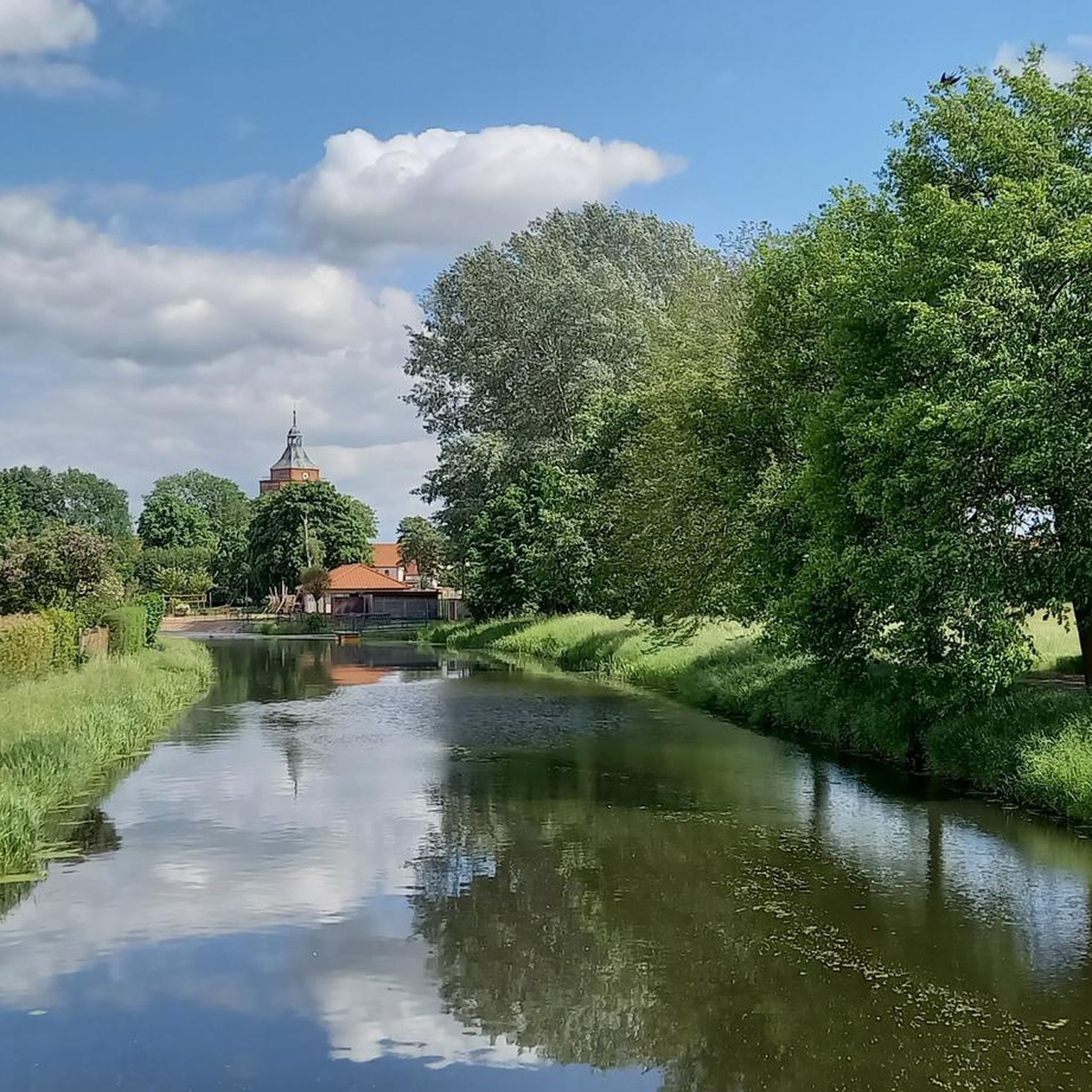
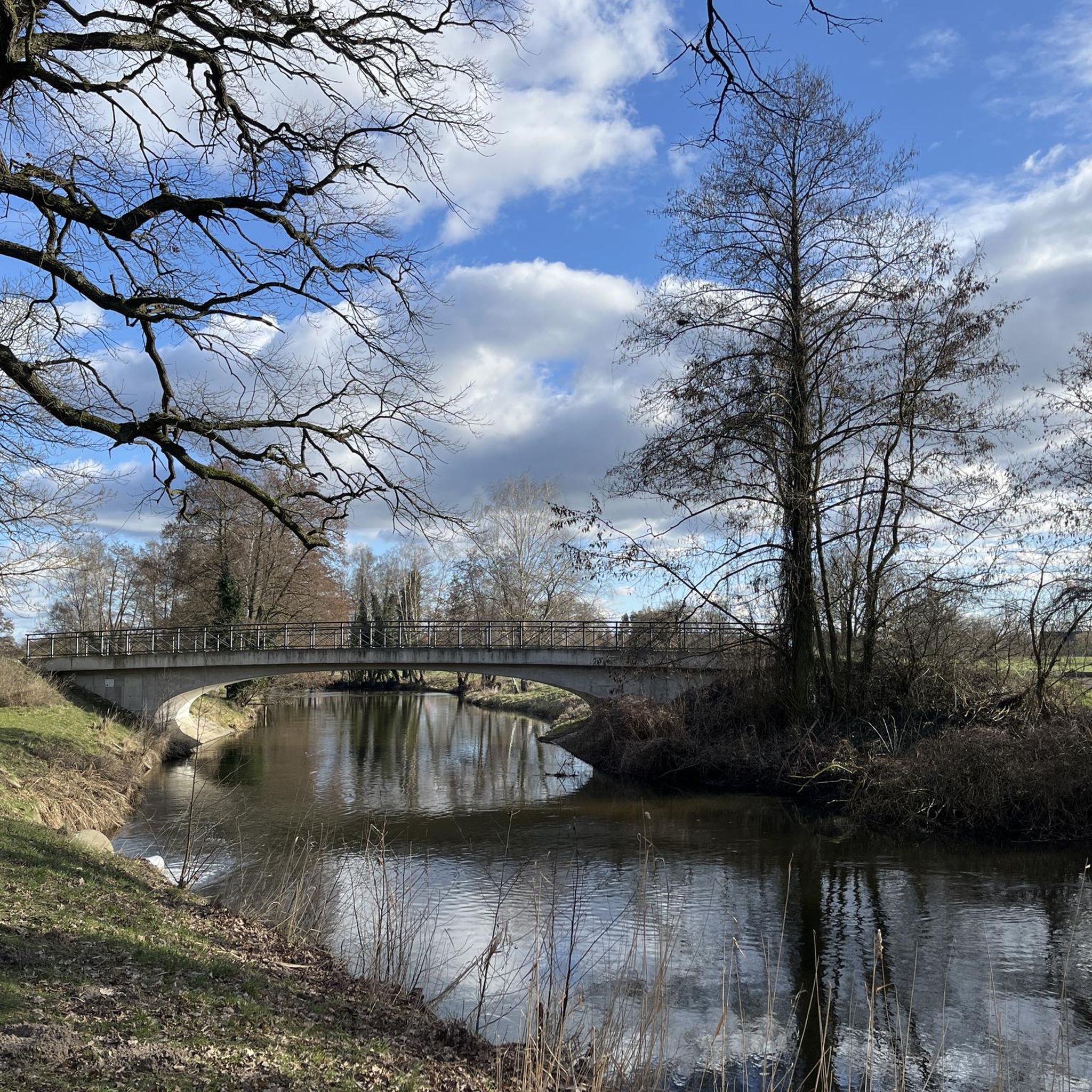
Hiking trails in Ostrand Der Arendseer Hochfläche traverse a natural park characterized by diverse landscapes. The region features varied terrain, including woodlands and areas around notable points like Forsthaus Barsberge and the Wolfsschlucht. Elevation changes are generally mild, with routes suitable for different fitness levels.
Best hiking trails in Ostrand Der Arendseer Hochfläche
- The most popular hiking route is Hiking loop from Polkern, a 4.5 miles (7.2 km) trail that takes about 1 hour 51 minutes to complete. This…
Last updated: June 28, 2026
5.0
(8)
16
hikers
7.23km
01:51
30m
30m
Easy hike. Great for any fitness level. Easily-accessible paths. Suitable for all skill levels.
4.6
(5)
18
hikers
7.54km
01:58
50m
50m
Easy hike. Great for any fitness level. Easily-accessible paths. Suitable for all skill levels.

Sign up for free
4.6
(5)
16
hikers
12.8km
03:20
90m
90m
Moderate hike. Good fitness required. Easily-accessible paths. Suitable for all skill levels.
5.0
(8)
11
hikers
15.4km
03:59
80m
80m
Moderate hike. Good fitness required. Easily-accessible paths. Suitable for all skill levels.
5.0
(4)
14
hikers
Easy hike. Great for any fitness level. Easily-accessible paths. Suitable for all skill levels.
Get access to more routes and recommendations from other explorers.
Sign up for free
Already have an account?
Our route recommendations are based on thousands of hikes, rides, and runs completed by other people on komoot.
Start today with a free account
Your next adventure awaits.
Login or Signup
Tips from the Community


Open again from spring to fall. Currently from Thursday to Sunday... or just give us a quick call to be sure.
0
0

always worth a trip, great forest restaurant
0
0

Nice playground in the forest.
1
0

There is also a bus connection here.
0
0

Pretty guesthouse - very remote - very quiet. Great to reach by MTB (also for kids).
1
0

There is covered seating here
1
0
An unsuccessful search for coal and oil was made on the left side of the trail. For technical reasons, the drill pipe could not be removed and was preserved as a testimony to the times.
0
0
Frequently Asked Questions
What is the typical terrain like for hiking in Ostrand Der Arendseer Hochfläche?
The Ostrand Der Arendseer Hochfläche region offers diverse landscapes, characterized by woodlands and varied terrain. While some trails are easy loops suitable for any fitness level, others are more demanding. Elevation changes are generally mild across the area.
Are there family-friendly hiking options in Ostrand Der Arendseer Hochfläche?
Yes, the region has several family-friendly options. Many trails are rated as easy, such as the Hiking loop from Polkern. The area around Forsthaus Barsberge is particularly suitable for families, featuring a forest restaurant and a playground.
What natural features or landmarks can I expect to see while hiking?
Hikers can explore notable natural features like the V-shaped valley known as the Wolfsschlucht. Additionally, the area includes a historic borehole. You might also encounter attractions such as Forsthaus Barsberge and the Village Church of Polkern.
Are there any circular hiking routes available?
Yes, Ostrand Der Arendseer Hochfläche features several circular routes. Popular options include the easy Hiking loop from Polkern and the Barsberge Pet Cemetery – Forsthaus Barsberge loop from Drüsedau. For a longer moderate option, consider the Barsberge Wildlife Park – Forsthaus Barsberge loop from Drüsedau.
What do other hikers enjoy most about hiking in Ostrand Der Arendseer Hochfläche?
The area is highly rated by the komoot community, with an average score of 4.45 stars from over 120 reviews. Hikers often praise the diverse trails, the beautiful natural park setting, and the variety of routes suitable for different ability levels.
How many hiking trails are there in Ostrand Der Arendseer Hochfläche?
There are over 30 hiking trails available in Ostrand Der Arendseer Hochfläche, offering a wide range of experiences from easy walks to more moderate routes.
Are there any longer, more challenging hikes in the region?
While many trails are easy, there are moderate options for those seeking a longer hike. For example, the Forsthaus Barsberge – Barsberge Wildlife Park loop from Seehausen is a moderate 15.4 km trail that takes about 4 hours to complete.
What types of activities are possible in Ostrand Der Arendseer Hochfläche besides hiking?
Beyond hiking, the Ostrand Der Arendseer Hochfläche region is popular for a variety of outdoor activities. Visitors can also enjoy cycling, running, mountain biking, and gravel biking on its diverse trails.
Is there a good place to stop for refreshments or a meal during a hike?
Yes, Forsthaus Barsberge is a popular spot in the area that includes a forest restaurant. It's a great place to take a break and enjoy a meal or refreshments, especially if you're on a loop trail that passes through the area.
What is the best time of year to visit Ostrand Der Arendseer Hochfläche for hiking?
The Ostrand Der Arendseer Hochfläche is a beautiful natural park that can be enjoyed throughout the warmer months. Spring and autumn offer pleasant temperatures and vibrant scenery, while summer provides longer daylight hours for extended exploration.
Are there any historical points of interest along the trails?
Yes, the region features a historic borehole as a point of interest. Additionally, you might encounter the Village Church of Polkern, which adds a cultural element to your hike.
Most popular routes in Ostrand Der Arendseer Hochfläche
Most popular attractions in Ostrand Der Arendseer Hochfläche

Get inspired with the komoot mobile app


Explore more
Browse the best Hikes in other regions.
