The best MTB trails in Elbdeichvorland
4.4
(32)
116
riders
27
rides
Mountain biking in Elbdeichvorland offers a unique experience along the Elbe River, characterized by extensive floodplains, meadows, and riparian forests. The terrain is generally flat, featuring a network of paths along dikes and through natural areas. While not mountainous, the region provides varied surfaces including gravel and unpaved sections, appealing to off-road cyclists. This landscape is part of a UNESCO Biosphere Reserve, rich in diverse ecosystems and wildlife.
Best mountain bike trails in Elbdeichvorland
- The most popular mountain bike trail…
Last updated: June 28, 2026
5.0
(3)
3
riders
Moderate mountain bike ride. Great for any fitness level. Advanced riding skills necessary.
4.3
(4)
16
riders
Moderate mountain bike ride. Good fitness required. Suitable for all skill levels.

Sign up for free
5.0
(5)
18
riders
Moderate mountain bike ride. Good fitness required. Suitable for all skill levels.
4.8
(4)
13
riders
Easy mountain bike ride. Great for any fitness level. Suitable for all skill levels.
5.0
(1)
11
riders
Moderate mountain bike ride. Good fitness required. Suitable for all skill levels.
Get access to more routes and recommendations from other explorers.
Sign up for free
Already have an account?
Our route recommendations are based on thousands of hikes, rides, and runs completed by other people on komoot.
Start today with a free account
Your next adventure awaits.
Login or Signup
Tips from the Community

The inner-German border ran here. Today, the original border post #290 still stands on the border line Saxony-Anhalt and Lower Saxony now meet here
1
0

The new B189 bridge near Wittenberge is part of the A14 motorway expansion and the dilapidated old bridge to the north (built in 1978, longest GDR road bridge). The new construction, which is scheduled to open to traffic in mid-2026, is part of a major infrastructure project to modernize the Elbe crossing and replace the old structure.
3
0
In the Hitzacker-Wittenberge section, nature and history, embedded in the UNESCO Biosphere Reserve "Elbe River Landscape", offer an interesting tour section on the Elbe Cycle Route. The silence between the towns and the colorful wildlife with storks, cranes, beavers, and sheep hint at the primordial nature of the landscape. In spring and autumn, they shape.
3
0

The observation tower on the Elbe Cycle Path near Bälow is situated in the heart of the Elbe floodplains and offers a panoramic view of the river landscape, dikes, and meadows of the Prignitz region. It primarily serves as a rest stop and viewpoint for cyclists on the Elbe Cycle Path, as well as an observation point for the diverse birdlife of the Elbe River Landscape Biosphere Reserve. From the elevated platform, numerous water birds and meadow birds can be observed, especially during migration seasons, thus combining landscape observation with a nature experience.
0
0
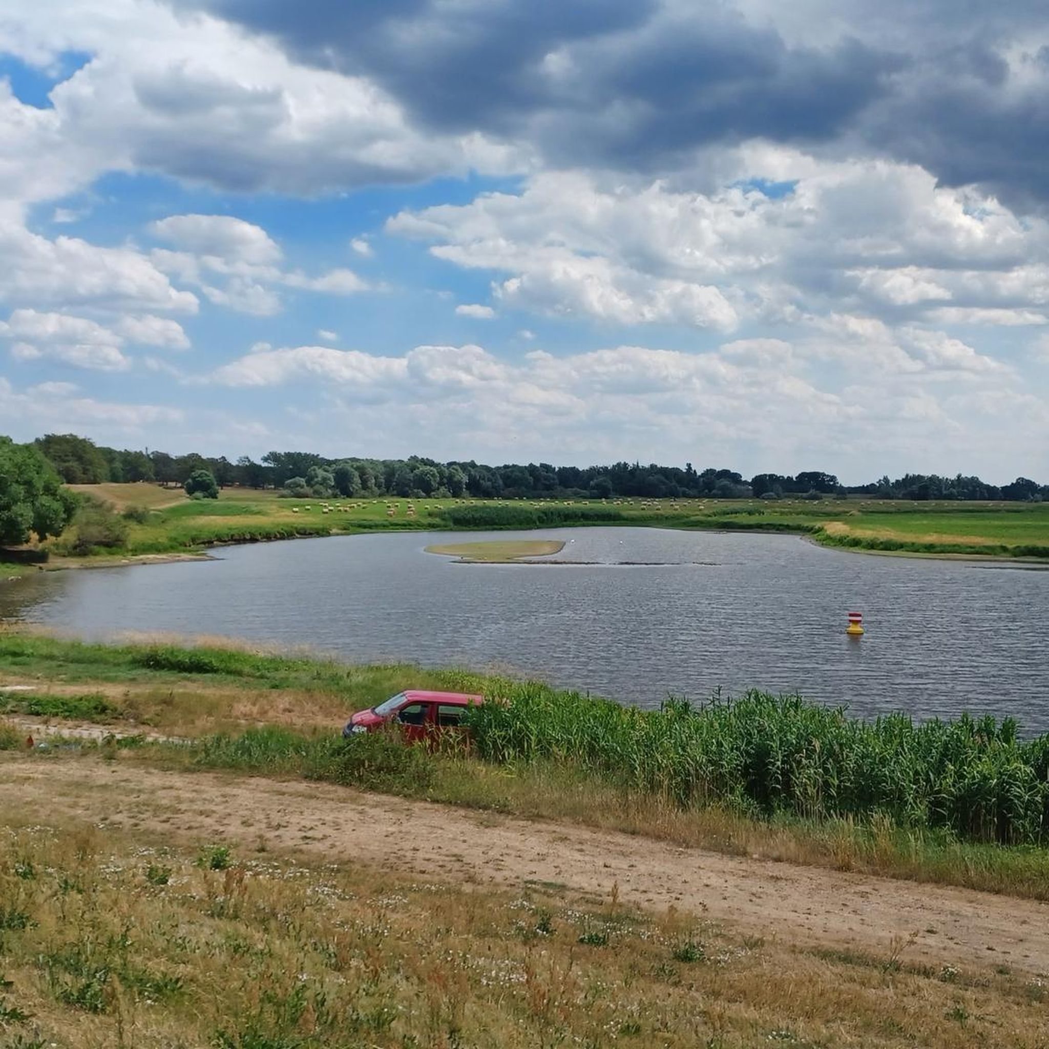
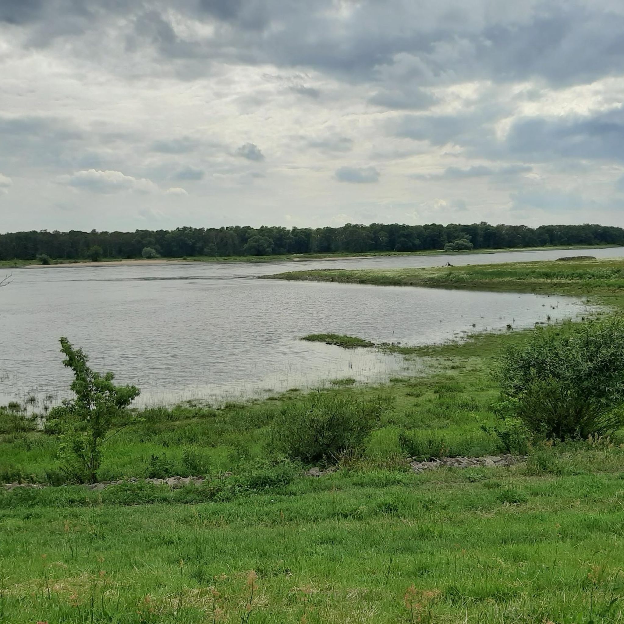
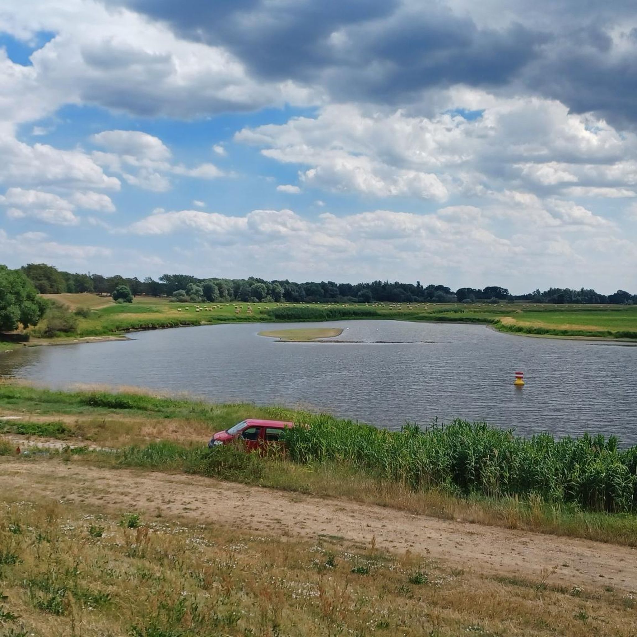
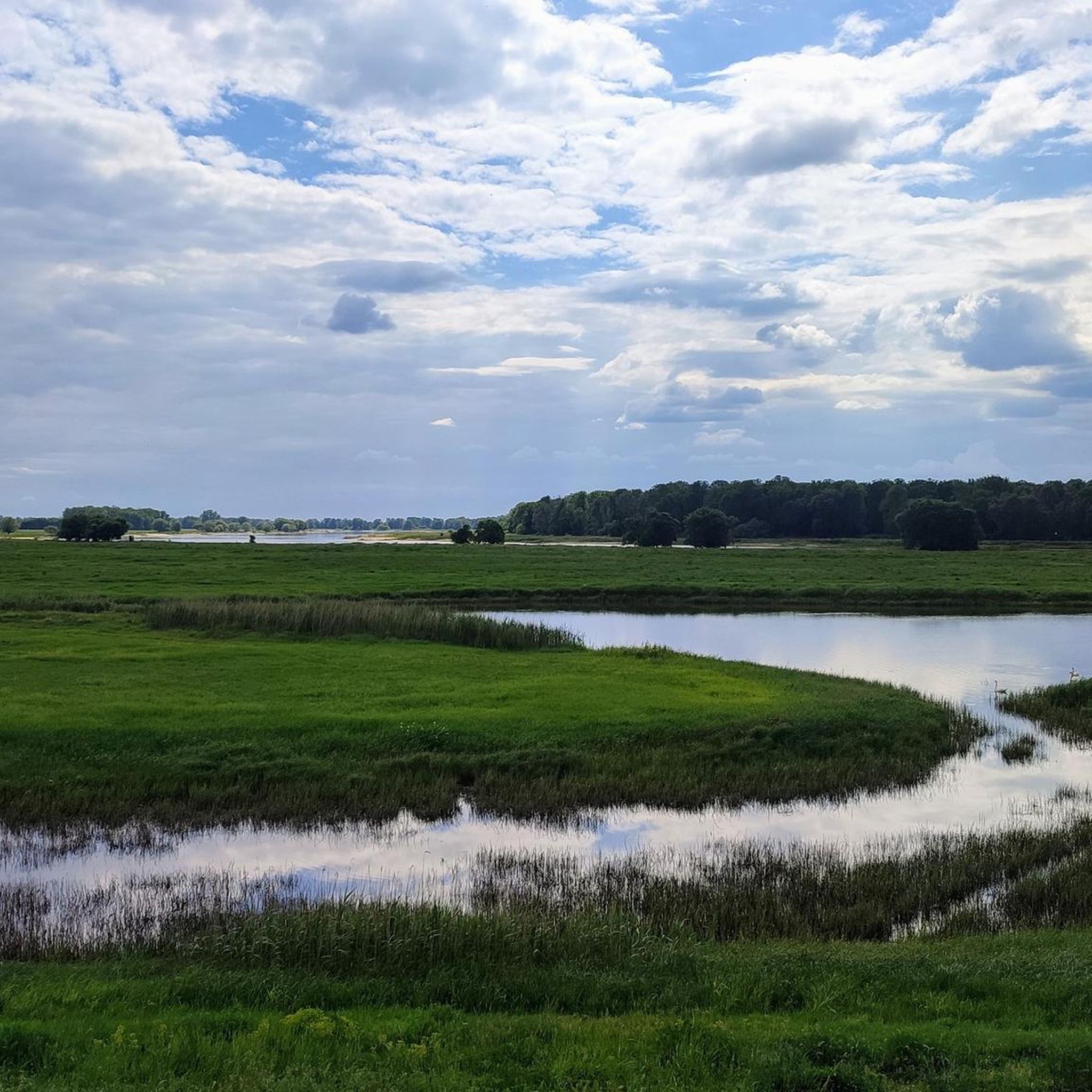
A sprawling, flat river landscape characterized by waterways, meadows, and groups of trees. The lowlands serve as a natural floodplain and change their appearance depending on the water level and season. Open vistas are characteristic, making the area a typical example of a near-natural Elbe floodplain landscape.
0
0
The bridge over the Stepenitz is an important crossing just before the river flows into the Elbe. It connects central urban areas with adjacent residential and recreational areas and is used by vehicular traffic, pedestrians, and cyclists. Its location in the river and floodplain landscape offers unobstructed views of the Stepenitz and the surrounding countryside. It is a defining element of Wittenberge's cityscape.
1
0

A visit to the interior is worthwhile.
0
0

Coming from the Elbe Cycle Path, the classic "entrance door" to Wittenberge.
2
0
Frequently Asked Questions
How many mountain bike trails are available in Elbdeichvorland?
There are over 25 mountain bike trails in Elbdeichvorland, offering a variety of experiences. These include 9 easy routes and 18 moderate routes, ensuring options for different skill levels.
What kind of terrain can I expect on mountain bike trails in Elbdeichvorland?
While generally flat, the terrain in Elbdeichvorland offers varied surfaces suitable for off-road cycling. You'll encounter paths along dikes, through extensive floodplains, and riparian forests. Expect sections with gravel, unpaved paths, and occasionally cobbled stretches, providing a diverse riding experience.
Are there mountain bike trails suitable for beginners or those looking for an easy ride?
Yes, Elbdeichvorland has several easy mountain bike trails. For instance, the Old Oil Mill Wittenberge – Stepenitz Bridge loop from Wittenberge is an easy 19.6-mile (31.6 km) route, perfect for a relaxed ride. Another easy option is the View of the River – Under the New B189 Bridge loop from Wittenberge.
What natural features or wildlife can I expect to see while mountain biking in Elbdeichvorland?
The Elbdeichvorland is part of a UNESCO Biosphere Reserve, rich in diverse ecosystems. You can expect to see extensive floodplains, riparian forests, and the majestic Elbe River. The area is a haven for wildlife, including storks, herons, geese, and various other bird species. Beavers, red deer, and foxes also inhabit the region, offering opportunities for wildlife observation.
Are there any interesting landmarks or attractions along the mountain bike routes?
Yes, several points of interest can be found. You might pass by the Former Cumlosen Border Tower, or observe the Müggendorf Stork Nest. The Cumlosen Floodplain Landscape also offers scenic views and a chance to experience the region's unique natural environment.
Can I bring my dog on the mountain bike trails in Elbdeichvorland?
Yes, many of the trails in Elbdeichvorland are suitable for cycling with dogs, especially given the natural and open character of the region. However, it's always recommended to keep your dog on a leash, especially in protected areas or near wildlife, and to be mindful of other trail users.
Are there any circular mountain bike routes in Elbdeichvorland?
Yes, many of the mountain bike routes in Elbdeichvorland are designed as loops. For example, the popular Schnackenburg Market Square – Aland/Biese River and Bridge loop from Wahrenberg is a moderate 18.9-mile (30.5 km) circular trail. Another great option is the Cycle Path on the Elbe Dike – View of the River loop from Wittenberge.
What do other mountain bikers enjoy most about mountain biking in Elbdeichvorland?
The area is highly rated by the komoot community, with an average score of 4.6 stars from over 30 reviews. Reviewers often praise the scenic views of the Elbe River, the peaceful natural landscapes, and the varied off-road surfaces that make for an engaging ride, despite the flat terrain.
What is the best time of year to go mountain biking in Elbdeichvorland?
Spring and autumn are generally ideal for mountain biking in Elbdeichvorland, offering pleasant temperatures and beautiful scenery. Summer can also be enjoyable, but be prepared for warmer weather. Winter riding is possible, but some paths might be affected by wet conditions or occasional flooding, especially in the floodplains.
Is parking available near the mountain bike trails?
Yes, parking is generally available in the towns and villages that serve as starting points for many of the routes, such as Wittenberge or Wahrenberg. Specific parking information can often be found on individual route pages or local tourism websites.
Can I reach the mountain bike trails using public transport?
Many towns along the Elbe River, such as Wittenberge, have train stations, making it possible to reach the region by public transport. From these towns, you can often access the trail network directly or with a short ride. It's advisable to check local public transport schedules and bike carriage policies in advance.
Most popular routes in Elbdeichvorland
Most popular attractions in Elbdeichvorland

Get inspired with the komoot mobile app


Explore more
Browse the best MTB trails in other regions.
