The best walks and hikes around Höchstädt an der Donau
4.4
(263)
982
hikers
69
hikes
Hiking around Höchstädt an der Donau offers diverse natural landscapes, primarily shaped by the Danube River and its surrounding riparian forests, known as Auwald. The region features a network of trails along the riverbanks, through these forests, and around tranquil oxbow lakes (Altwasser der Donau). The terrain is generally flat with minimal elevation changes, making it accessible for various hiking abilities. Unique geological features like the Goldberg, formed from Ries impact ejecta, also contribute to the area's character.
Best hiking…
Last updated: October 7, 2026
4.7
(70)
248
hikers
Easy hike. Great for any fitness level. Easily-accessible paths. Suitable for all skill levels.
4.3
(29)
104
hikers
Moderate hike. Good fitness required. Easily-accessible paths. Suitable for all skill levels.

4.7
(21)
89
hikers
Moderate hike. Good fitness required. Easily-accessible paths. Suitable for all skill levels.
4.2
(19)
39
hikers
Easy hike. Great for any fitness level. Easily-accessible paths. Suitable for all skill levels.
3.0
(1)
15
hikers
5.26km
01:20
20m
20m
Easy hike. Great for any fitness level. Easily-accessible paths. Suitable for all skill levels.
Get access to more routes and recommendations from other explorers.
Already have an account?
Our route recommendations are based on thousands of hikes, rides, and runs completed by other people on komoot.
Start today with a free account
Your next adventure awaits.
Popular around Höchstädt an der Donau
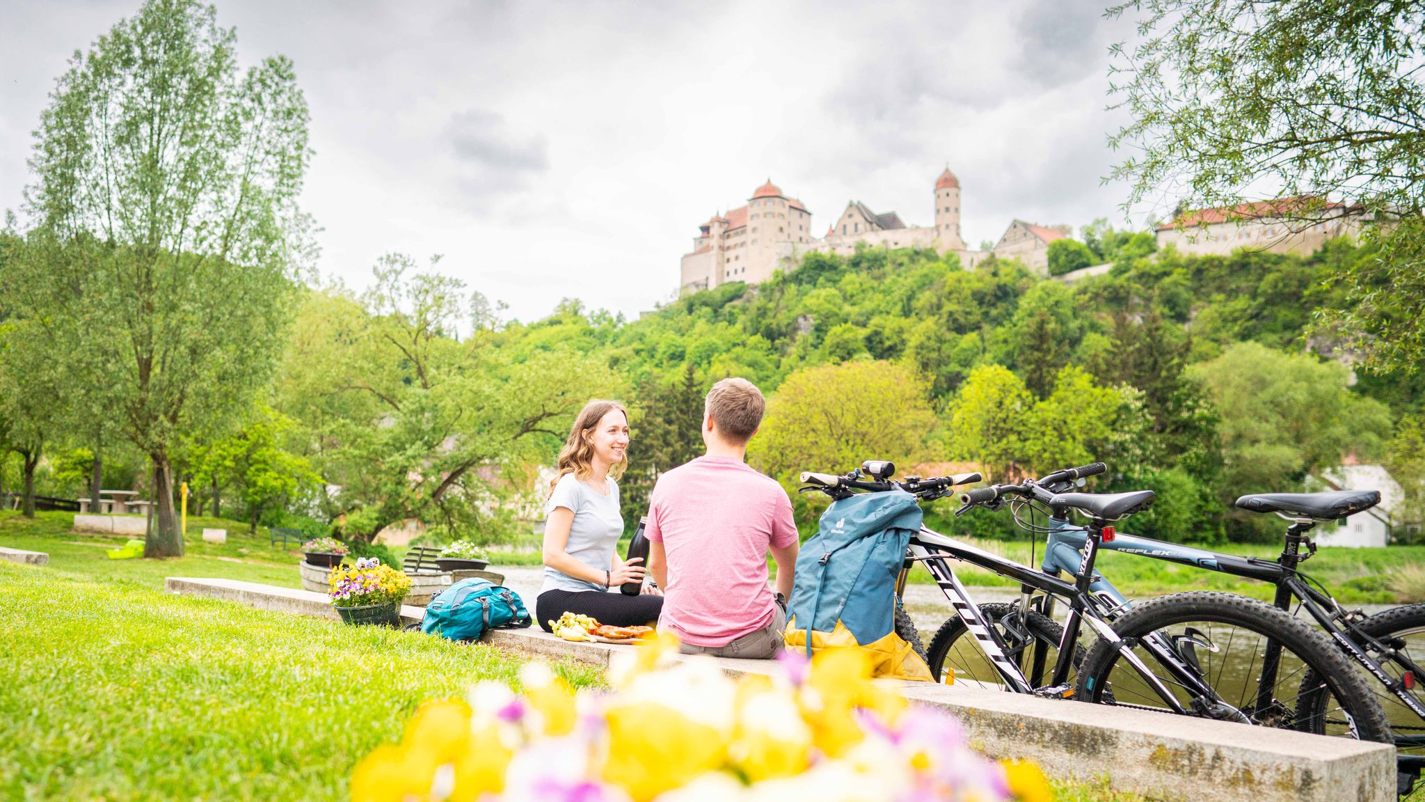
Cycle back in time in the Donau-Ries region
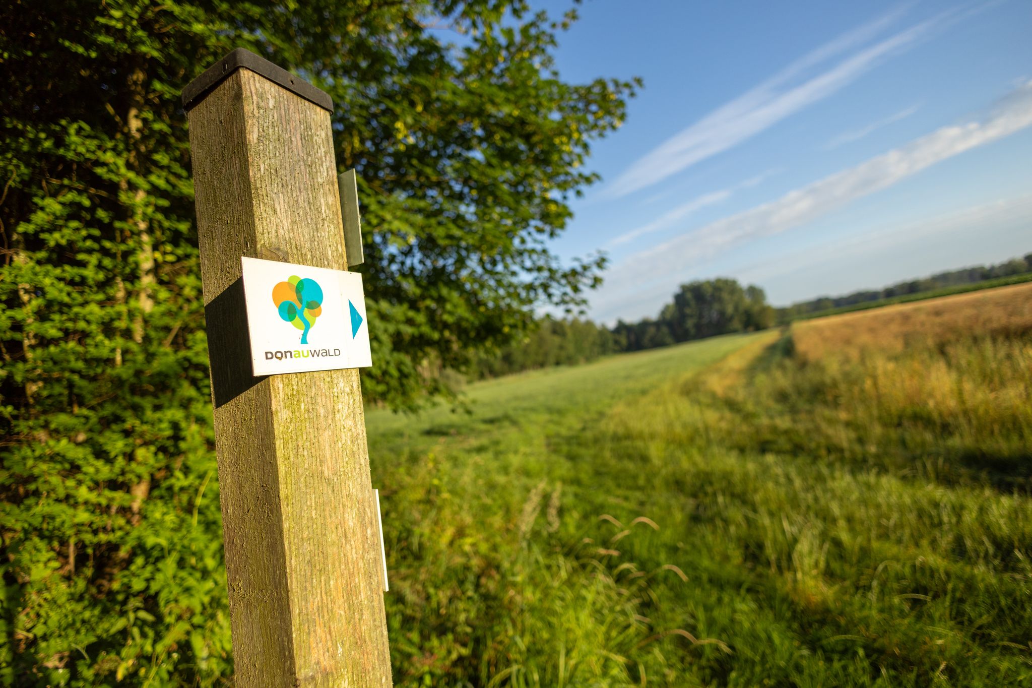
DonAUwald – Premiumwanderweg entlang der Donau
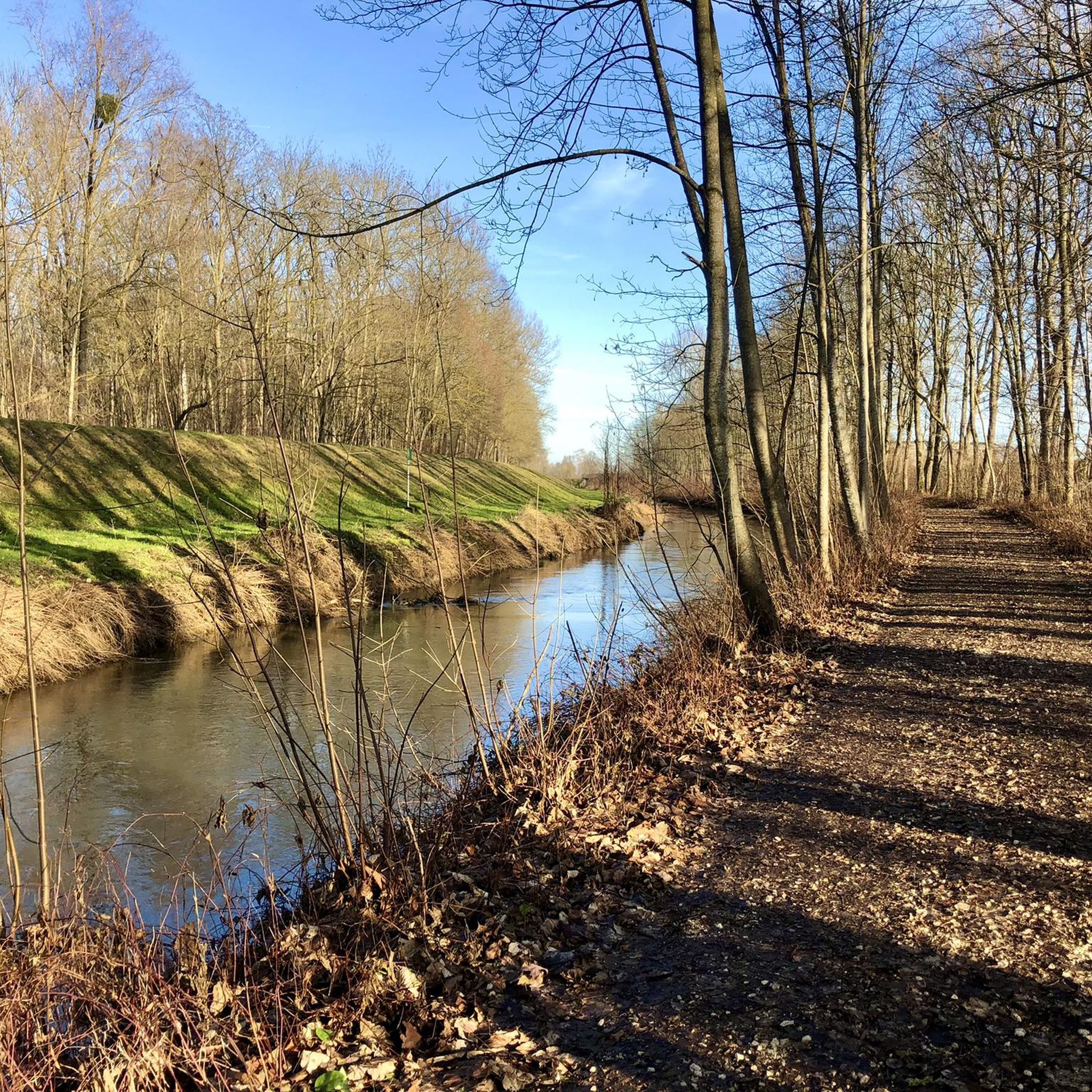
Cycling around Höchstädt an der Donau
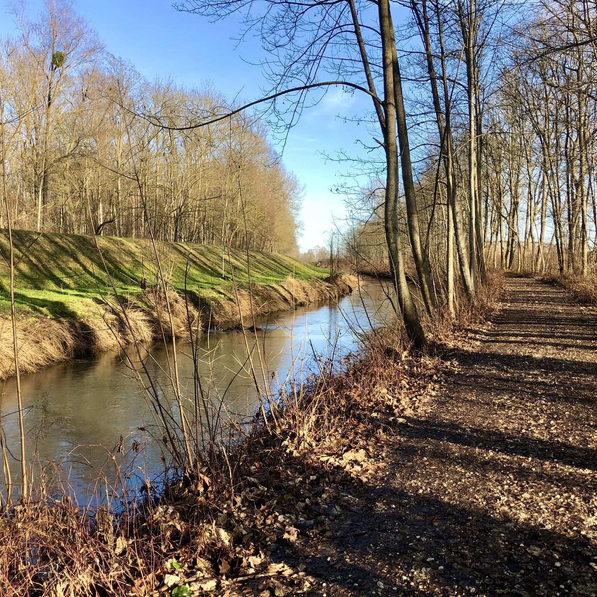
Road Cycling Routes around Höchstädt an der Donau
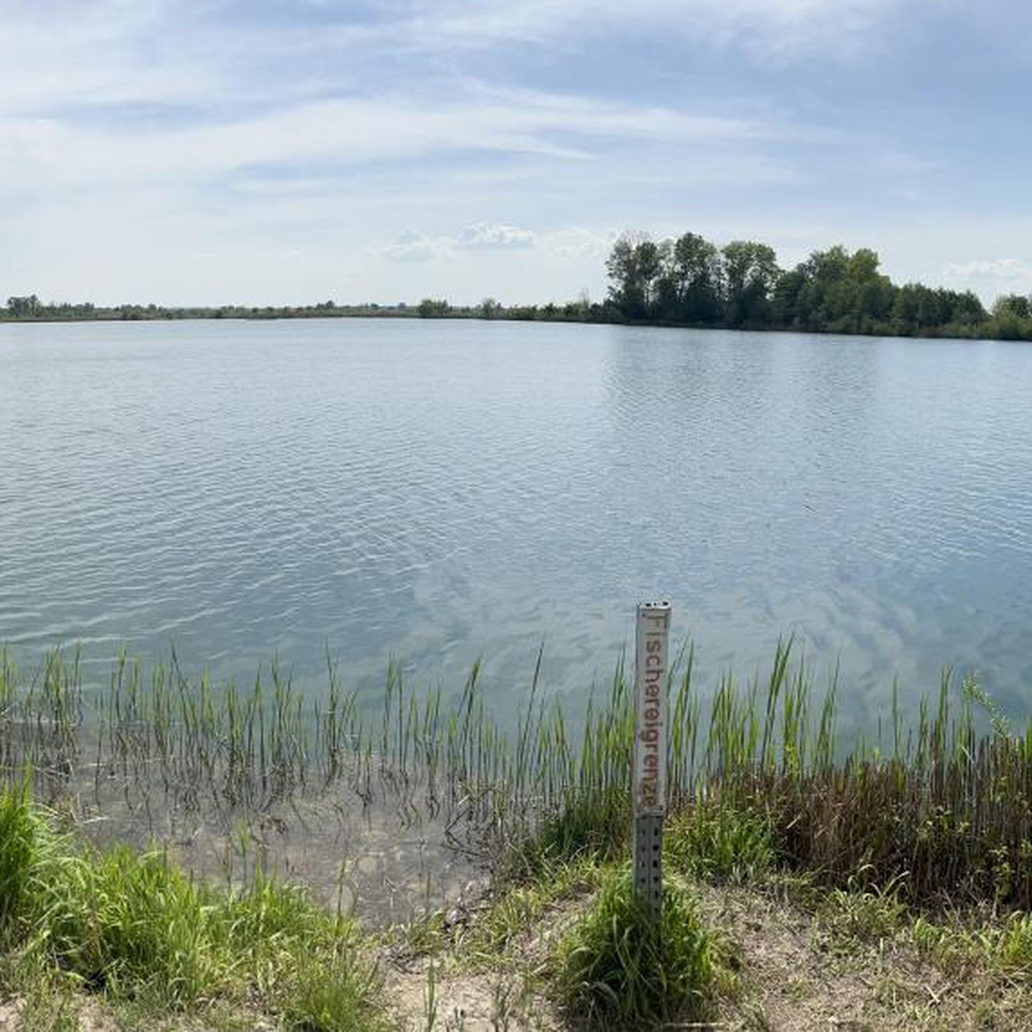
Running Trails around Höchstädt an der Donau
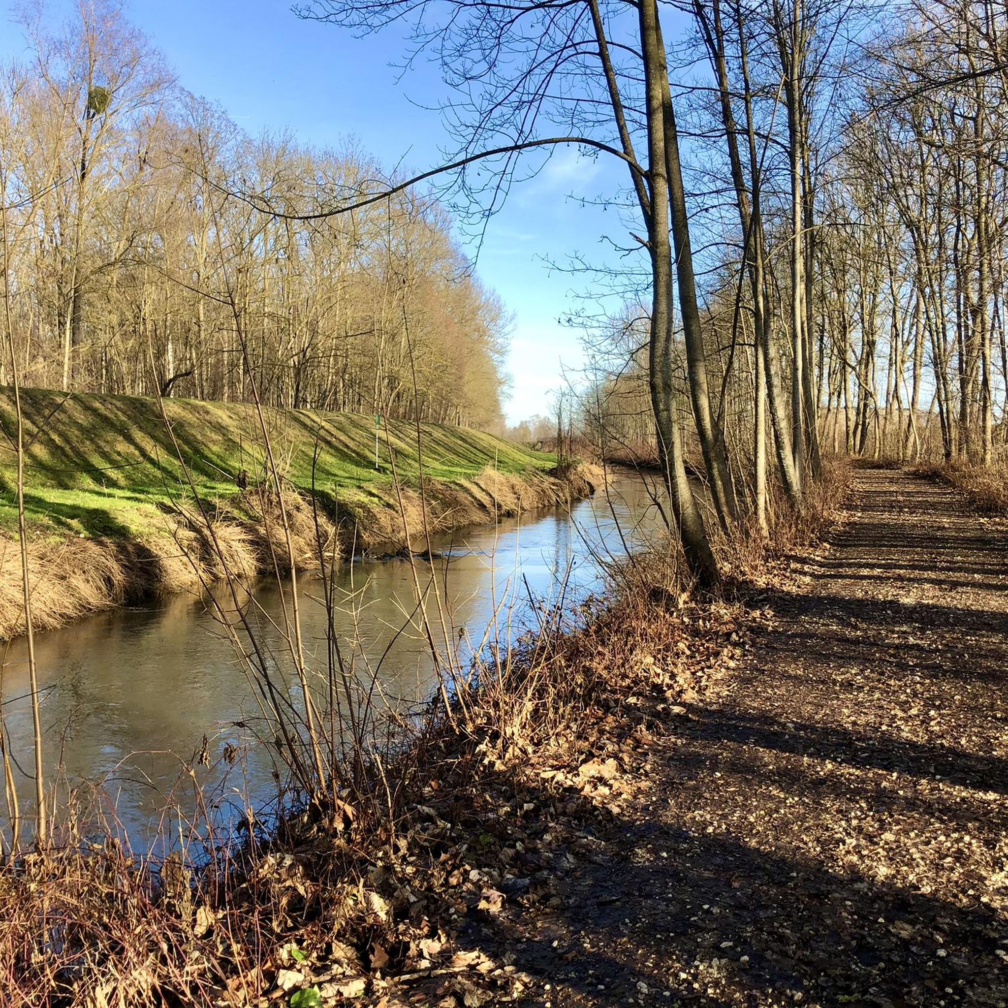
MTB Trails around Höchstädt an der Donau
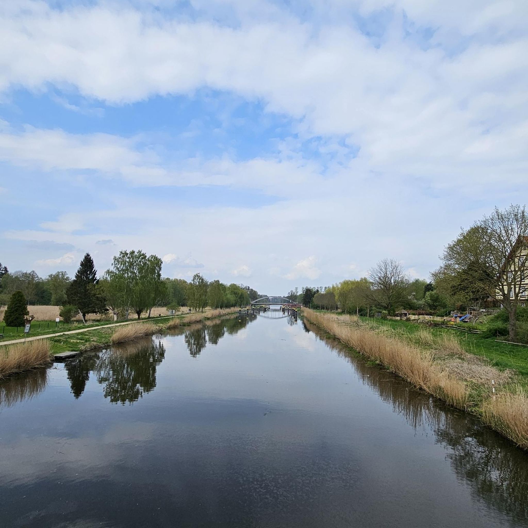
Gravel biking around Höchstädt an der Donau
Other adventures around Höchstädt an der Donau


Tips from the Community

A very idyllic hiking trail without sandy shoes. We really enjoyed it!
0
0

Nice gag in the forest. Great for kids.
4
0
Beautiful lakes and ponds with mega frog concerts in April/May
1
0
From here you can take good photos of the castle
2
0

From the bridge at the dam you have a great view over the Danube.
1
0

This path is absolutely worth seeing
2
0

mini suspension bridge
3
0

Altwasser - Duchess Anna circular trail 🏞 - Experience the floodplain forest & castle - Höchstädt an der Donau - LKR. Dillingen an der Donau
1
0
Frequently Asked Questions
What kind of terrain can I expect on hiking trails around Höchstädt an der Donau?
The hiking trails around Höchstädt an der Donau are generally flat with minimal elevation changes, making them accessible for various abilities. You'll primarily encounter paths along the Danube River, through the lush Auwald (riparian forest), and around the tranquil Altwasser der Donau (old oxbow lakes). Some routes, like the Höchstädt Castle – Bruckmahd Lakes loop, offer a mix of open views and forest sections.
Are there any family-friendly hiking options in Höchstädt an der Donau?
Yes, Höchstädt an der Donau offers several family-friendly trails due to its generally flat terrain. The Auwald (riparian forest) features wooden boardwalks and a suspension bridge, which can be exciting for children. The View of Höchstädt Castle – Altwasser of the Danube loop is an easy 5.2 km path that combines castle views with natural beauty, suitable for families.
Can I bring my dog on the hiking trails in Höchstädt an der Donau?
Most hiking trails in Höchstädt an der Donau are dog-friendly, allowing you to explore the natural landscapes with your canine companion. It's always recommended to keep dogs on a leash, especially in nature protection areas and near wildlife, to ensure their safety and respect for the environment. The extensive riparian forests and riverside paths provide plenty of opportunities for walks with your dog.
What natural features or landmarks can I see while hiking in the area?
While hiking in Höchstädt an der Donau, you can explore diverse natural features and historical landmarks. Key attractions include the Danube River itself, the extensive Auwald (riparian forest) with its boardwalks and suspension bridge, and the serene Altwasser der Donau (old oxbow lakes). You can also visit the Confluence of the Brenz and the Danube, a pleasant spot for resting. The prominent Höchstädt Castle is often visible from trails like the Altwasser of the Danube – View of Höchstädt Castle loop.
Are there many circular hiking routes available?
Yes, Höchstädt an der Donau offers a good selection of circular hiking routes, perfect for day trips. Examples include the popular Höchstädt Castle – Bruckmahd Lakes loop, which is 14.4 km long, and the shorter View of Höchstädt Castle – Altwasser of the Danube loop at 5.2 km. These loops allow you to start and end at the same point, often providing varied scenery along the way.
What is the best time of year to go hiking in Höchstädt an der Donau?
Höchstädt an der Donau is enjoyable for hiking throughout much of the year. Spring and autumn offer pleasant temperatures and beautiful natural colors, especially in the riparian forests. Summer is also great for riverside walks, though some areas might be more exposed to the sun. Even in winter, the flat trails can be suitable for walks, offering a different, tranquil perspective of the Danube landscape.
How many hiking trails are there in Höchstädt an der Donau?
There are over 50 hiking trails available around Höchstädt an der Donau, offering a wide range of options for different preferences and fitness levels. The majority of these, over 40, are considered easy, while about 15 are moderate, ensuring there's a suitable path for almost everyone.
What do other hikers enjoy most about the trails in Höchstädt an der Donau?
The hiking trails in Höchstädt an der Donau are highly rated by the komoot community, with an average score of 4.4 stars from over 200 reviews. Hikers often praise the tranquil riverside paths, the unique experience of walking through the Auwald (riparian forest), and the scenic views that often include the historic Höchstädt Castle and the old oxbow lakes of the Danube.
Are there any easy hiking trails suitable for beginners?
Absolutely. Höchstädt an der Donau is an excellent destination for beginners, with over 40 easy hiking trails. These routes typically feature minimal elevation gain and well-maintained paths, making them perfect for a relaxed stroll. The View of Höchstädt Castle – Altwasser of the Danube loop is a great easy option, covering 5.2 km with gentle terrain.
Where can I find parking or public transport access for hiking trailheads?
Many hiking trailheads in Höchstädt an der Donau are accessible, with parking often available near popular starting points or within the town itself. For public transport, local bus services connect various parts of the region, and the town has a train station, making it possible to reach some trailheads without a car. Specific details for each route can often be found on komoot tour pages.
Are there any specific highlights or viewpoints along the trails?
Yes, the trails offer several points of interest. You can enjoy views of the Renaissance Höchstädt Castle, explore the unique Auwald with its wooden boardwalks and suspension bridge, and discover the peaceful Altwasser der Donau (old oxbow lakes). The Confluence of the Brenz and the Danube is another scenic spot to take in the river landscape.
Are there any longer, moderate hikes for more experienced walkers?
For those seeking a longer, more moderate challenge, the region offers several options. The Höchstädt Castle – Bruckmahd Lakes loop is a 14.4 km trail that takes approximately 3 hours and 39 minutes to complete. This route provides a good distance with minimal elevation, suitable for hikers looking for a sustained walk through varied landscapes.
Most popular routes around Höchstädt an der Donau
Most popular attractions around Höchstädt an der Donau

Get inspired with the komoot mobile app


Explore more
Browse the best Hikes in other regions.
