The 19 Most Amazing Peaks around Unterbreizbach
Best mountain peaks around Unterbreizbach are found within a region characterized by the Rhön Mountains, a low mountain range known for its distinctive landscapes. Unterbreizbach serves as a gateway to several elevated peaks and hills, offering impressive views and opportunities for outdoor activities. The area provides access to a variety of hiking routes, including long-distance trails that lead to prominent Rhön peaks. These locations provide opportunities for exploring natural beauty and geological features.
Best mountain peaks around Unterbreizbach
- The most…
Last updated: July 6, 2026
Öchsenberg Summit and Celtic Cross
Highlight • Summit
Translated by Google •
Tip by

Gläserberg Summit and Dermbach Hut
Highlight • Summit
Translated by Google •
Tip by

Sign up now to discover places like this
Get recommendations on the best single tracks, peaks, & plenty of other exciting outdoor places.
Sign up for free
Soisberg Observation Tower
Highlight • Viewpoint
Translated by Google •
Tip by

Oechsenberg Hut (Öchsenberg Summit Hut)
Highlight • Mountain Hut
Translated by Google •
Tip by

Geiskopf Blockfield and Summit
Highlight • Summit
Translated by Google •
Tip by

Sign up for free to discover even more peaks around Unterbreizbach.
Sign up for free
Already have an account?
Start today with a free account
Your next adventure awaits.
Login or Signup
Popular around Unterbreizbach
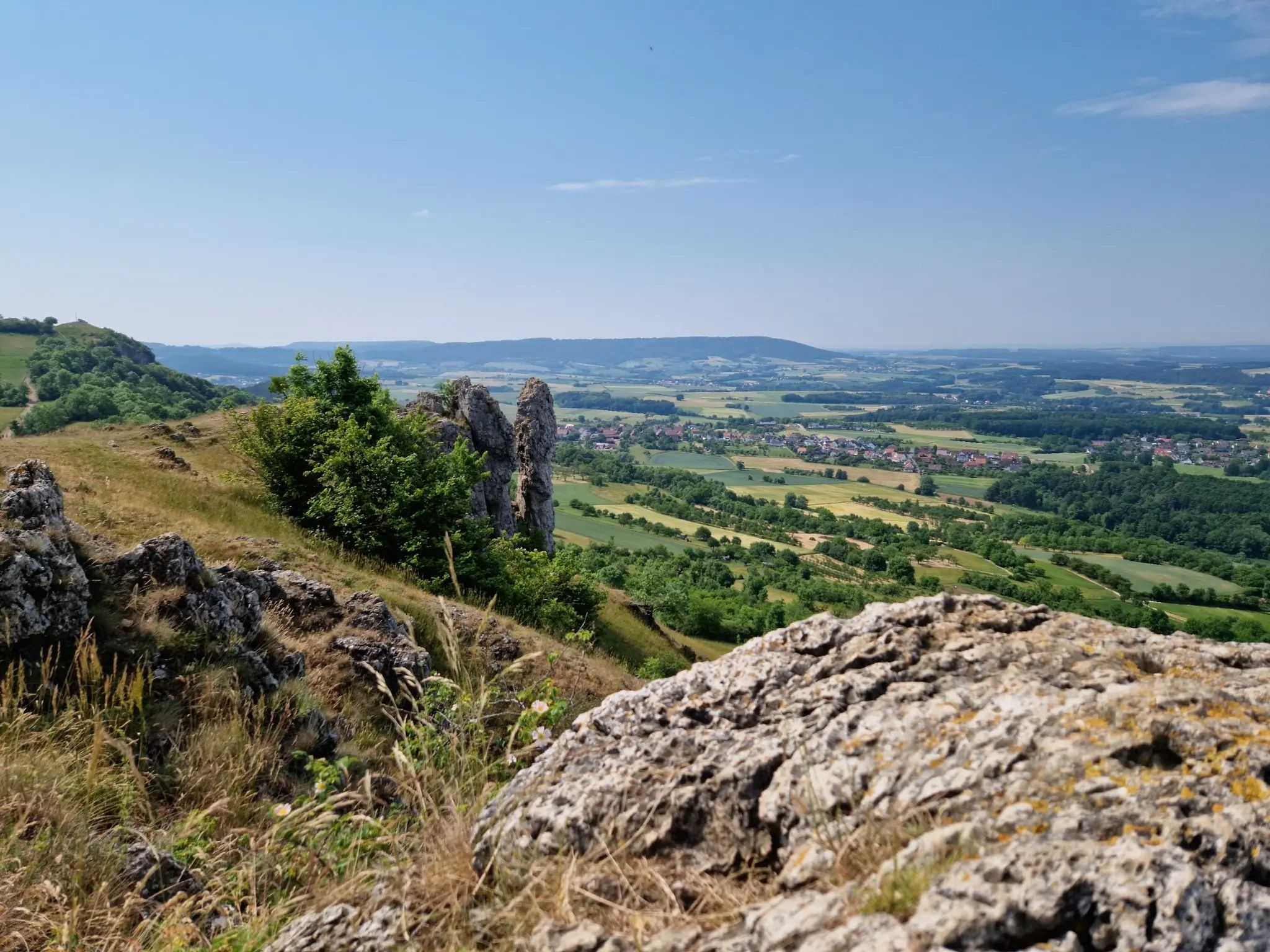
Ten fantastic hikes throughout Germany
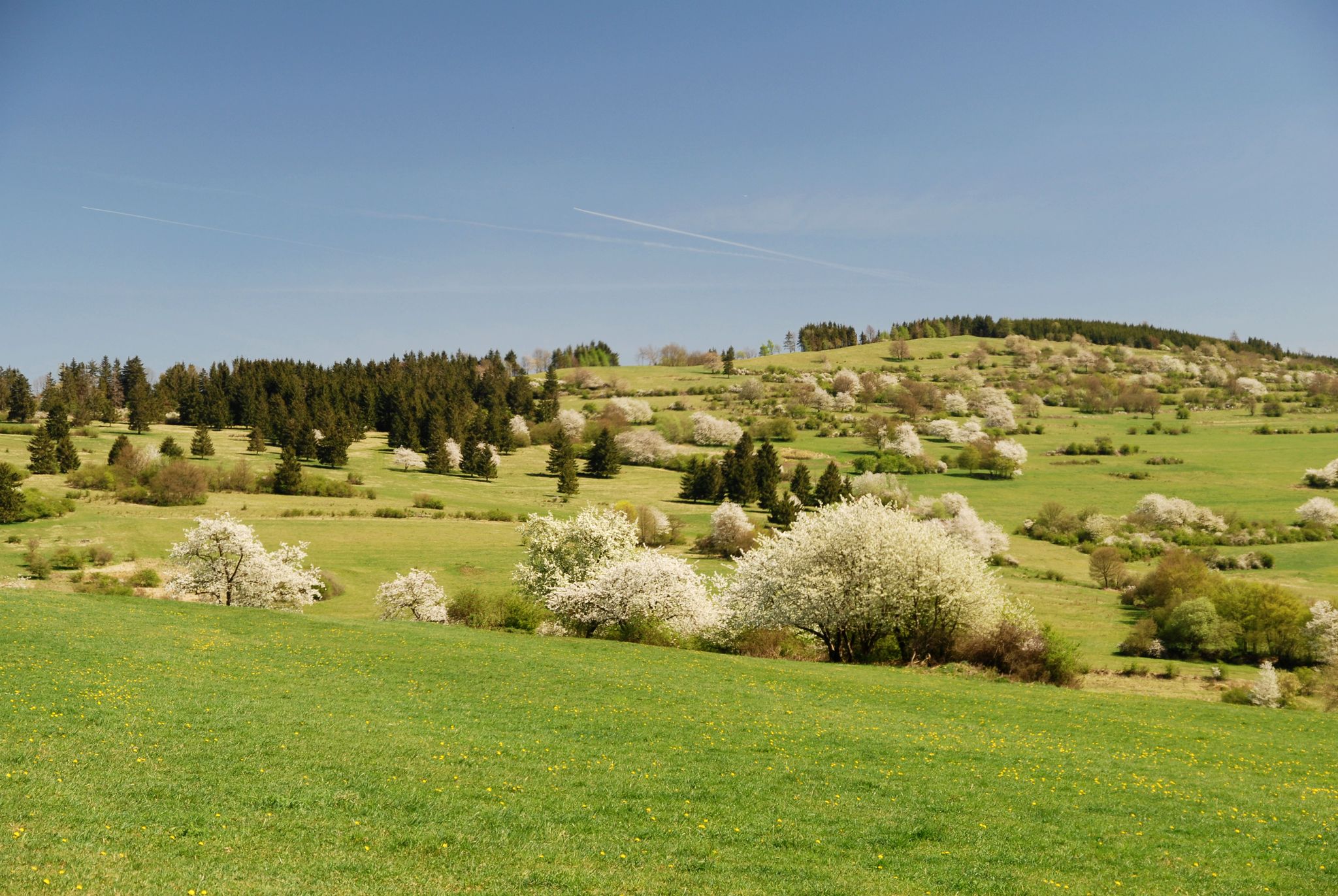
Extra tours North - excellent premium hiking trails of Rhön

Hiking in the Rhön Mountains where nature and history combine
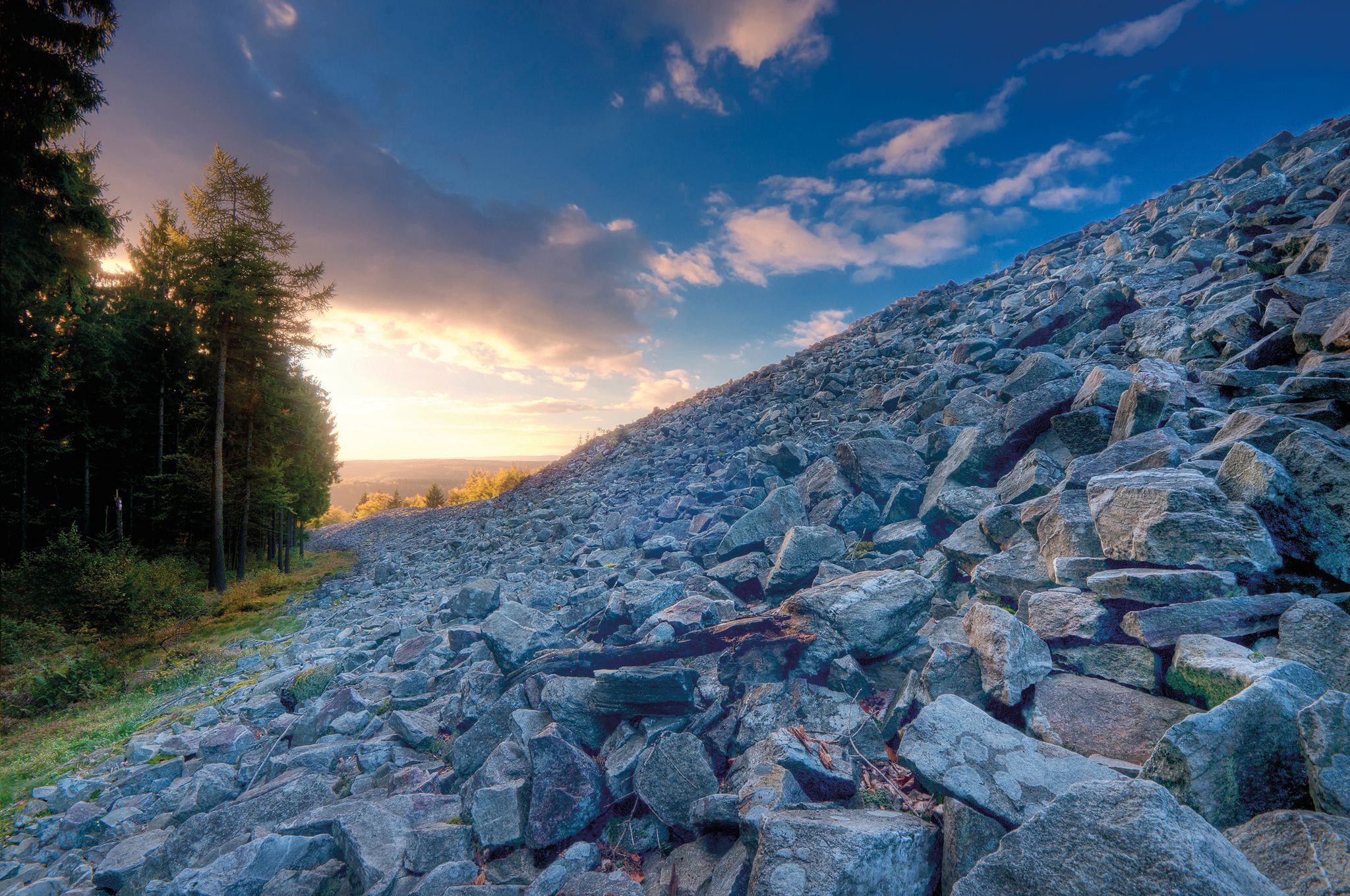
Celtic hikes — time travel into a past millennium
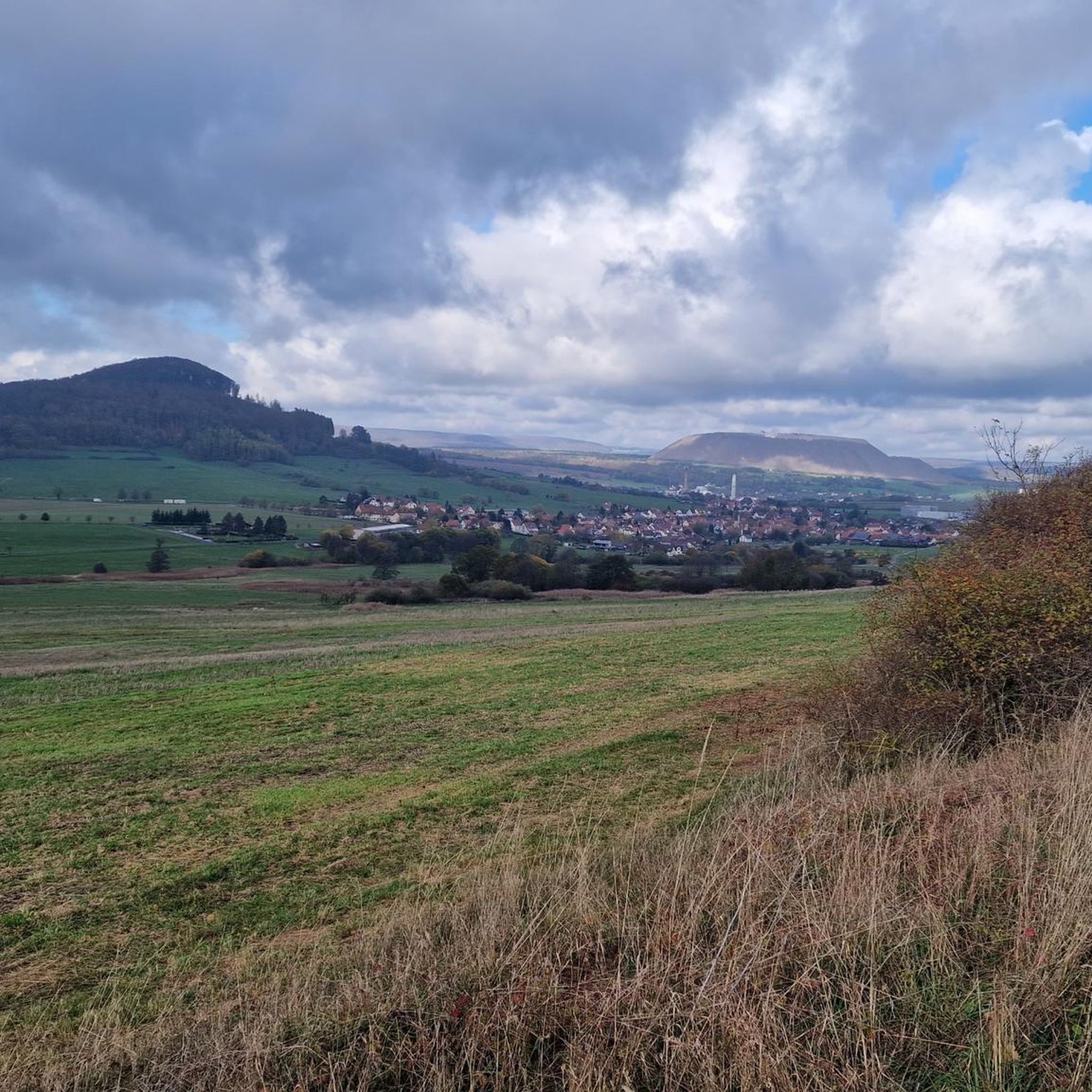
Hiking around Unterbreizbach
Cycling around Unterbreizbach
MTB Trails around Unterbreizbach
Road Cycling Routes around Unterbreizbach
Running Trails around Unterbreizbach

Gravel biking around Unterbreizbach
Other adventures around Unterbreizbach


Tips from the Community

The hut is open every Sunday from April to October, as well as on all Thuringian holidays, from 10 a.m. to 6 p.m. If the crowds that gather up here in good weather are too much and too loud for you, it's better to go up on other days.
0
0

Magnificent summit with a bench to rest and enjoy the view
1
0

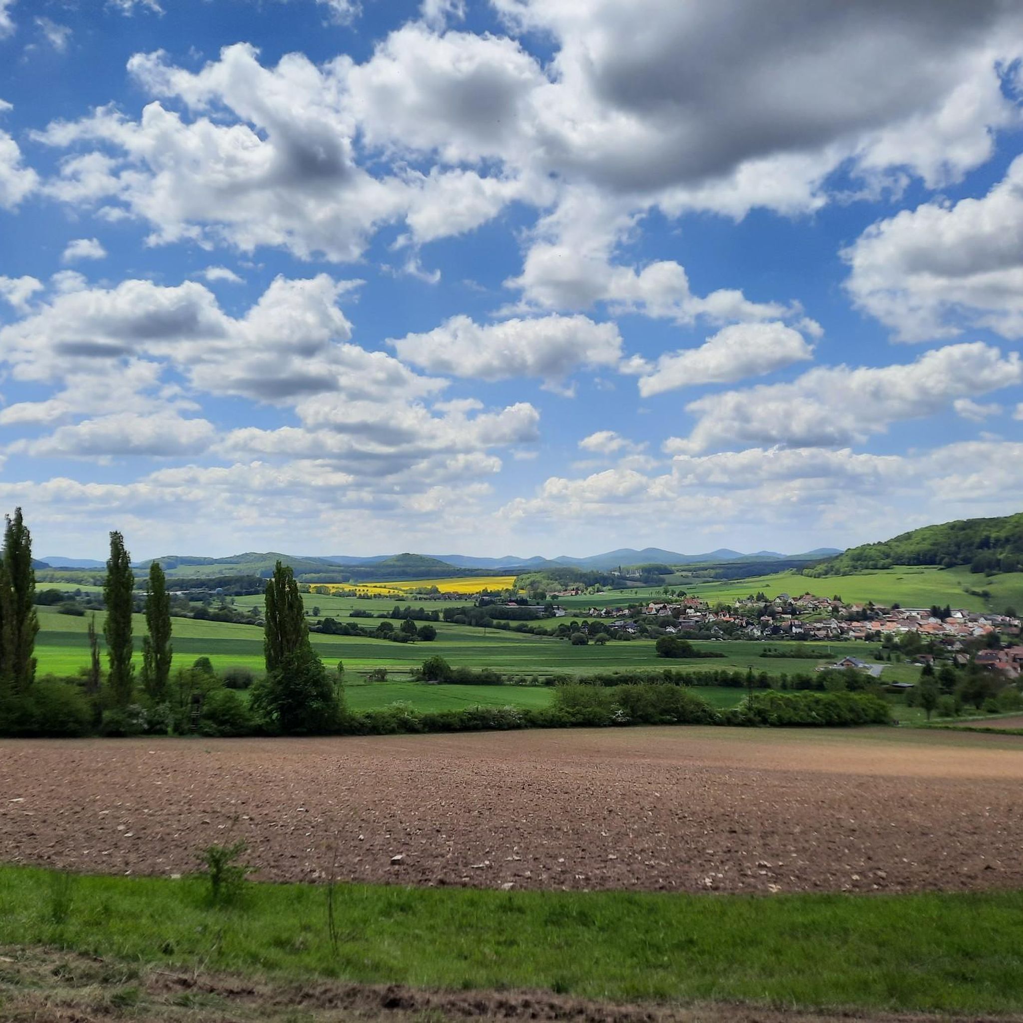
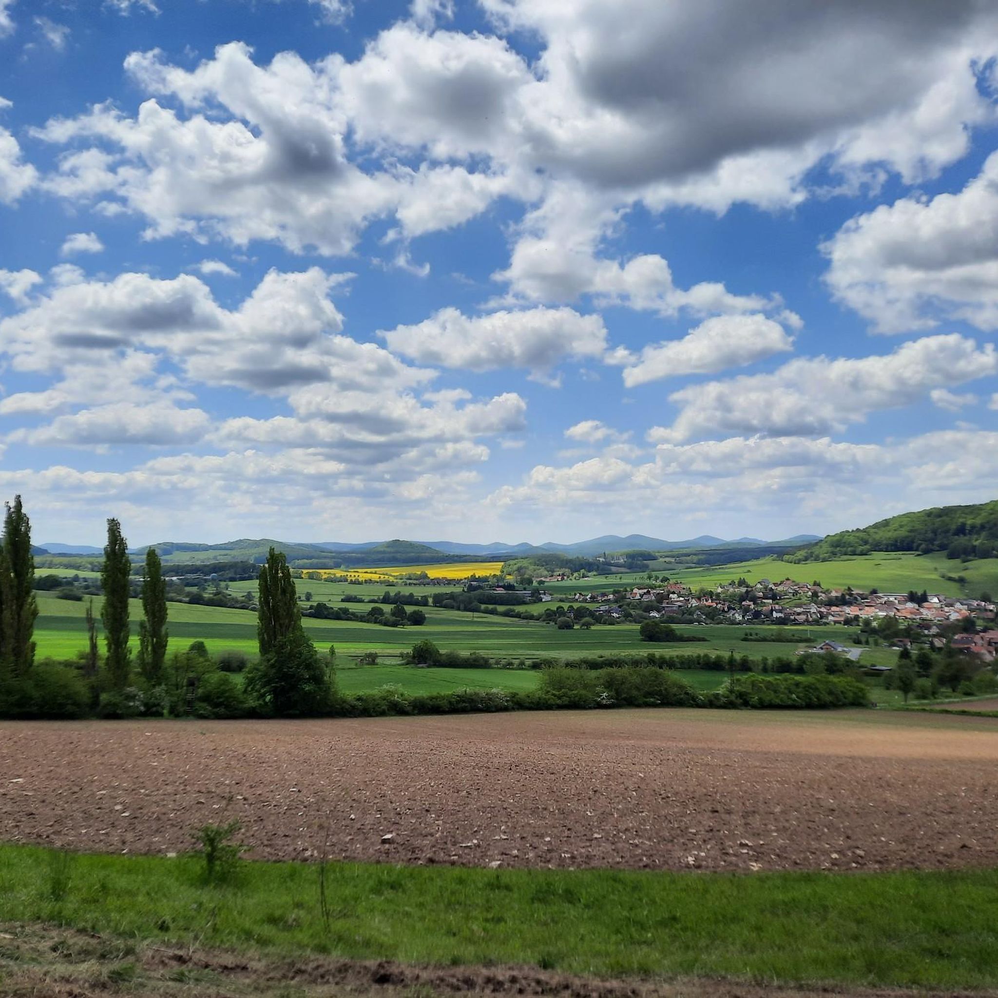
This view is unparalleled and makes hikers pause in awe on the summit of the Gläserberg. No tree, no bush obscures the view from the bare mountaintop, which greets visitors from afar. Anyone who has managed the climb to the 671-metre-high Gläserberg is rewarded with a fantastic panoramic view. A panorama that stretches far beyond the borders, with the Wartburg (34 km) in the north, the Schneekopf (47 km) in the east, the Heidelstein (26 km) in the south and the Rößberg (14 km) in the west at the hiker's feet. A beautiful spot on earth, which was sung about in the Gläserlied long ago with the words: "Happy hikers will flock from all over the wide Rhön to look out into the distant lands from your proud heights!" Source:https://www.rhoenforum.de/tourismus-tipps/wanderh%C3%BCtten/dermbacher-h%C3%BCtte-gl%C3%A4serberg/
11
1

Wonderful view of the Thuringian Rhön.
13
2
A sea of stones.
3
0
Great view of the Rhön.
8
0

An absolute hiking highlight that needs to be explored here
14
1
Wonderfully beautiful and truly quiet patch of earth
11
0
Frequently Asked Questions
What are some of the most popular mountain peaks to visit near Unterbreizbach?
The region around Unterbreizbach offers several popular peaks. Among them, the Soisberg Observation Tower is highly regarded for its perfect panoramic views from the platform. Other must-see spots include the Öchsenberg Summit and Celtic Cross, which provides expansive views shaped by basalt mining, and the Gläserberg Summit and Dermbach Hut, offering magnificent vistas across the Rhön to the Thuringian Forest.
Are there family-friendly mountain peaks or hikes around Unterbreizbach?
Yes, several peaks and routes are suitable for families. The Gläserberg Summit and Dermbach Hut is categorized as family-friendly, offering a rewarding view and a hut for refreshments. The Soisberg Observation Tower is also noted as family-friendly, with accessible paths to the summit and tower.
What kind of views can I expect from the mountain peaks in this region?
The peaks around Unterbreizbach, particularly within the Rhön Mountains, are known for their expansive panoramic views. From the Gläserberg Summit, you can see across the Rhön to the Thuringian Forest and the Rennsteig. The Soisberg Observation Tower provides a perfect 360-degree view, while the Öchsenberg Summit offers panoramic views influenced by the area's geological history.
Are there any huts or places for refreshments near the mountain peaks?
Yes, hikers can find places for refreshment. The Dermbacher Hütte is located at the Gläserberg Summit and is a popular stop, open on Sundays and public holidays from 10 AM to 5 PM. Near the Öchsenberg Summit, the Oechsenberg Hut is available, providing food and drinks, typically open on Sundays and Thuringian public holidays from April to October.
What historical or geological features can be found on these peaks?
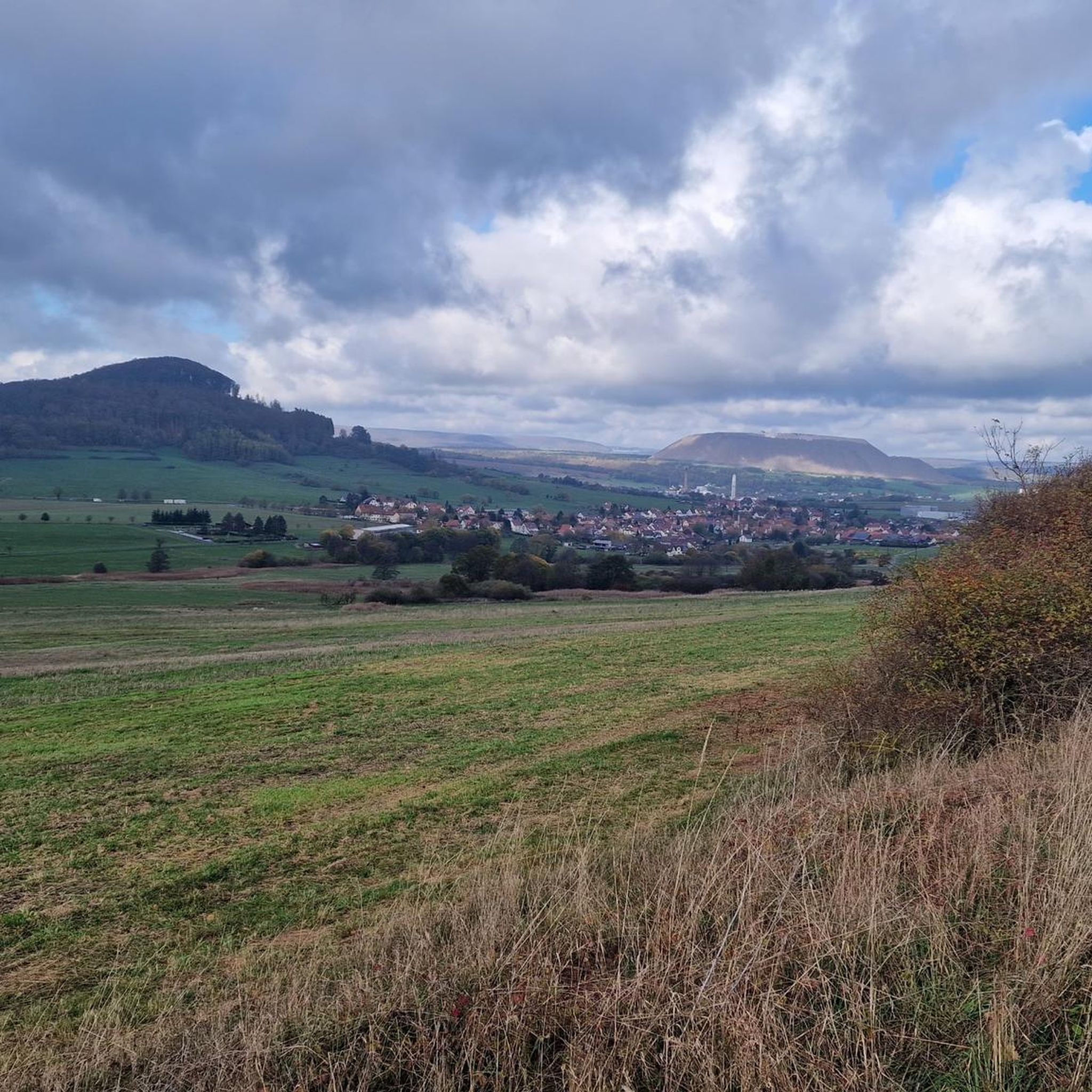
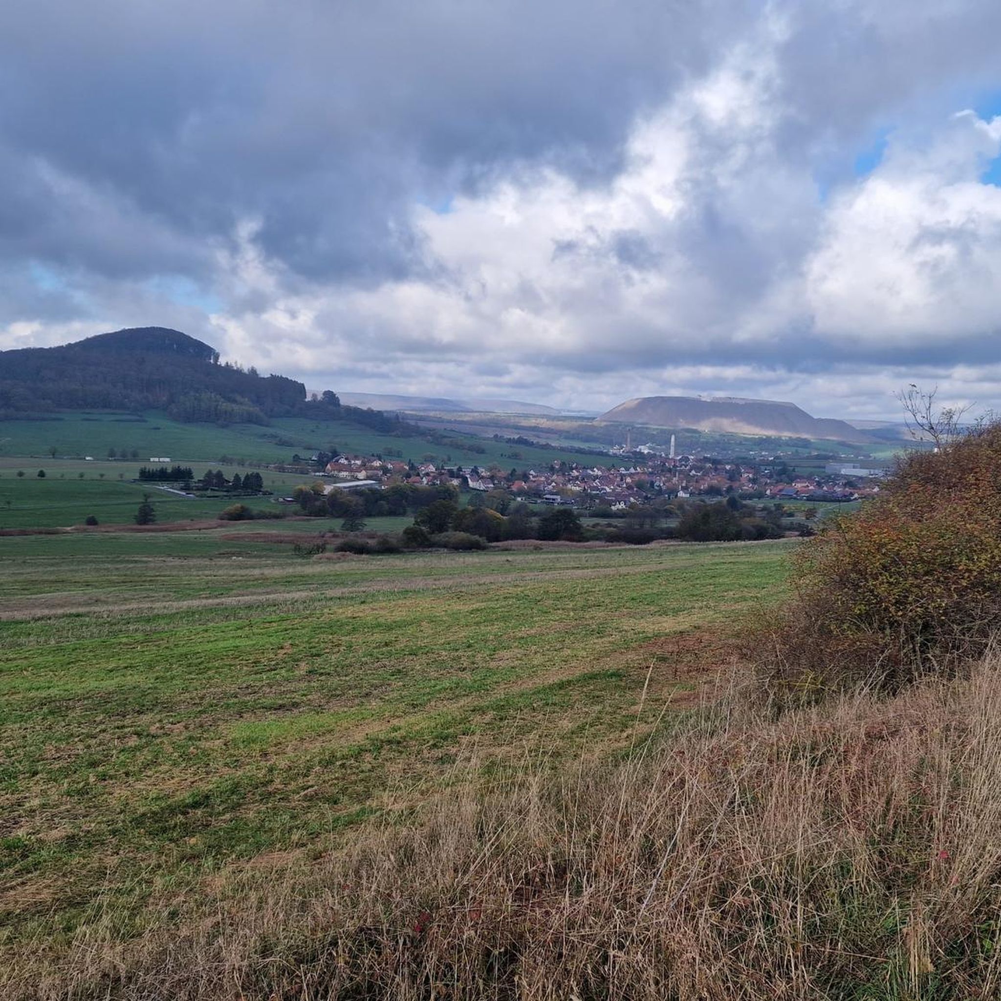
The region's peaks often combine natural beauty with historical and geological significance. The Öchsenberg Summit features a Celtic Cross and its landscape has been shaped by decades of basalt mining. The Geiskopf Blockfield and Summit is notable for its protected block heap, formed from collapsed basalt columns, and offers views of the Rhön and its volcanic mountains.
What outdoor activities can I do near the mountain peaks around Unterbreizbach?
Beyond hiking to the peaks, the area offers various outdoor activities. You can explore numerous running trails, such as the 'Basalt cliff at Öchsenberg – Sünna Celtic Village loop from Sünna' or the 'View of Vacha – Wendelstein Castle Vacha loop from Vacha'. For cyclists, there are road cycling routes like the 'Blue Bridge over the Ulster River – Sängerwiese Bermbach loop from Pferdsdorf'. You can find more details on these activities in the Running Trails around Unterbreizbach and Road Cycling Routes around Unterbreizbach guides.
Are there easy hiking trails to reach the peaks?
Yes, there are easy hiking options. For example, the Soisberg Observation Tower can be reached via relatively easy paths, making it suitable for a relaxed ascent. The region also offers several easy hikes, such as the 'Sünna Celtic Village – Öchsenberg Weather Station loop from Wölferbütt' or the 'Playground in Pferdsdorf – Playground in Räsa loop from Unterbreizbach'. More easy routes can be found in the Easy hikes around Unterbreizbach guide.
What do visitors enjoy most about the mountain peaks near Unterbreizbach?
Visitors frequently praise the stunning panoramic views and the tranquility of the natural surroundings. Many appreciate the well-maintained trails and the opportunity to combine hiking with visits to historical sites like the Celtic Cross or geological features such as basalt formations. The presence of huts like the Dermbacher Hütte also adds to the enjoyment, providing convenient refreshment stops.
Can I find circular hiking routes that include these peaks?
Yes, the region offers circular routes that incorporate some of the peaks. For instance, the Öchsenberg Summit is a highlight along the 'Keltenpfad' (Celtic Path) hiking route, which often features circular sections. While specific circular routes for every peak aren't detailed here, the nearby hiking guides often include loop trails that pass by or ascend these summits.
What is the best time of year to hike the mountain peaks around Unterbreizbach?
While the specific best time can depend on personal preference, spring, summer, and autumn generally offer ideal conditions for hiking. In spring, you can enjoy blooming nature, while summer provides longer daylight hours. Autumn brings vibrant foliage and comfortable temperatures. Some areas may also be suitable for winter hiking, but conditions can vary, so it's always best to check local weather before heading out.
Are there any lesser-known or 'hidden gem' peaks worth exploring?
While the main highlights are well-known, the broader Rhön Mountains, which Unterbreizbach serves as a gateway to, contain many smaller, less-frequented elevated points. These often offer similar natural beauty and quiet trails away from the most popular spots. Exploring the extensive network of hiking trails in the Rhön Biosphere Reserve can lead you to these quieter, equally rewarding summits and viewpoints.
Most popular routes around Unterbreizbach
Most popular attractions around Unterbreizbach

Get inspired with the komoot mobile app


Explore more
See even more amazing summits around Unterbreizbach with these guides:
