The best walks and hikes in Rudniański Park Krajobrazowy
4.3
(154)
1,458
hikers
118
hikes
Hiking in Rudniański Park Krajobrazowy offers a diverse environment characterized by extensive forest complexes and notable geological formations. The park features significant woodland areas such as Las Orlej and Czarny Las, alongside the picturesque valley of the Rudno stream. Its terrain includes both high limestone tectonic rifts with xerothermic grasslands and wetlands with marshy valley bottoms, providing varied natural settings. The highest point within the park is Wielka Góra.
Best hiking trails in Rudniański Park Krajobrazowy
- The most popular hiking…
Last updated: September 4, 2026
4.8
(22)
105
hikers
4.91km
01:21
80m
80m
Easy hike. Great for any fitness level. Easily-accessible paths. Suitable for all skill levels.
4.3
(3)
12
hikers
Easy hike. Great for any fitness level. Easily-accessible paths. Suitable for all skill levels.

Sign up for free
9
hikers
5.13km
01:23
60m
60m
Easy hike. Great for any fitness level. Easily-accessible paths. Suitable for all skill levels.
5.0
(2)
5
hikers
9.69km
02:34
100m
100m
Moderate hike. Good fitness required. Easily-accessible paths. Suitable for all skill levels.
4.0
(2)
17
hikers
9.44km
02:30
90m
90m
Moderate hike. Good fitness required. Easily-accessible paths. Suitable for all skill levels.
Get access to more routes and recommendations from other explorers.
Sign up for free
Already have an account?
Our route recommendations are based on thousands of hikes, rides, and runs completed by other people on komoot.
Start today with a free account
Your next adventure awaits.
Login or Signup

Tips from the Community

The Black Pond is located in the Teńczyński Forest Zwierzyniec. There are benches where you can sit and feed the ducks :) In some places by the pond, the water appears black. The pond is beautiful and extremely photogenic. Legend has it that a huge treasure, consisting of gold, silver, and diamonds, is buried under the Devil's Bridge in Czerna, guarded by the devil himself, and another spirit lurks on the bridge for the greatest sinners, and when it catches one - it flies over the Black Pond and drowns them there :)
0
0

The obvious start of the Kajasówka educational trail - information about the trail and reserve thanks to the forestry office, benches and a table for a picnic and a parking space - what more could you want? As my cousin says, off the cuff, mate.
0
0
Although Butryk is undoubtedly the biggest attraction of the Kajasówka Reserve, the Kajasówka peak itself is also interesting. Its ridge is a characteristic wedge, and the views of the surrounding area are beautiful (if you stick out a bit through the trees at the top).
0
0
Listen, nice view! The most important point of the Kajasówka Reserve, Butryk rises to a height of 320m above sea level. Beautiful panorama from here - in good weather you can see Babia Góra. Great rocks and a beautiful place.
0
0

wonderful views of the Beskids
0
0
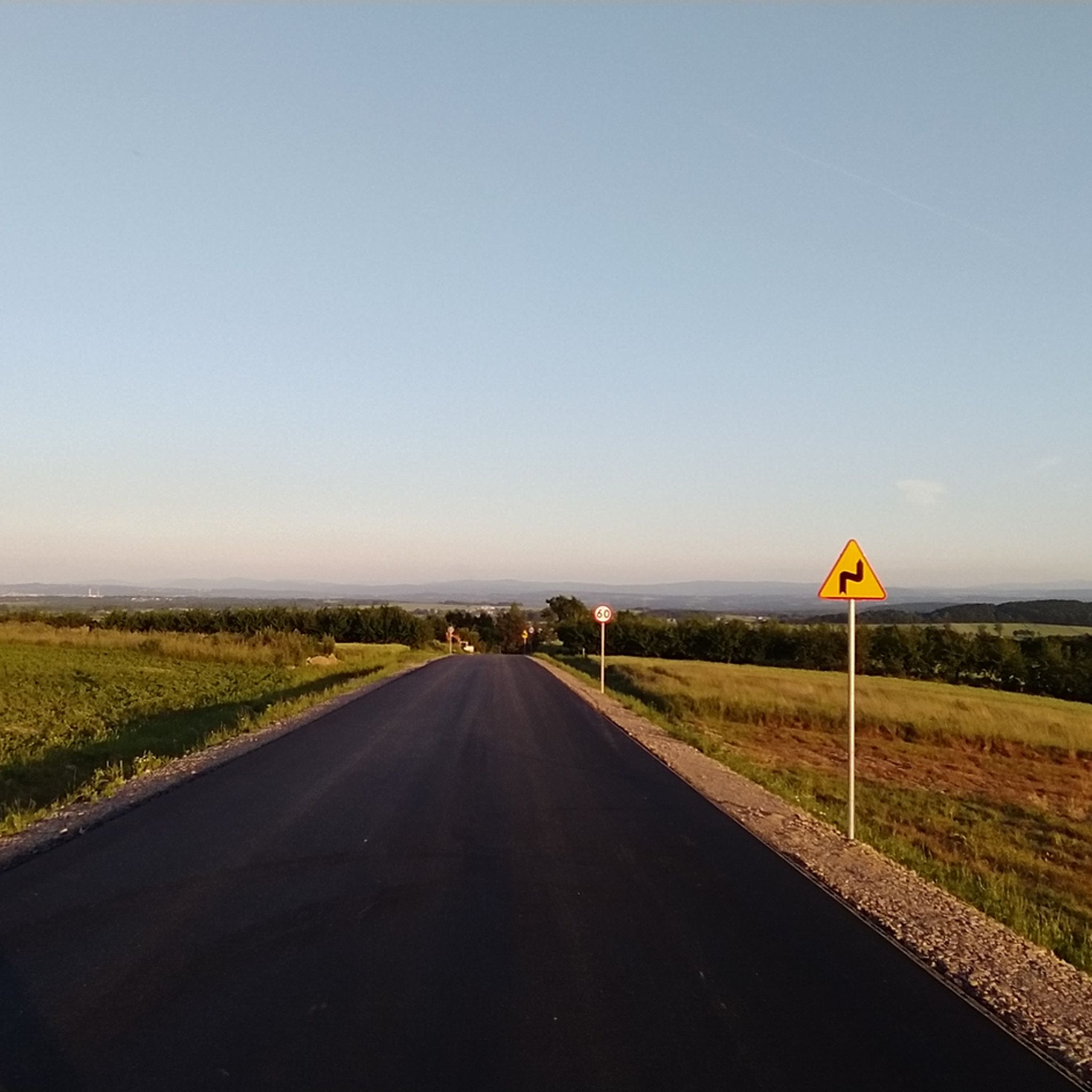
first we drive on a comfortable forest road, which then turns into a rather bumpy path; nice views
0
0

A charming place in the Tenczyński Landscape Park
0
0
Frequently Asked Questions
How many hiking trails are available in Rudniański Park Krajobrazowy?
Rudniański Park Krajobrazowy offers a wide selection of hiking opportunities, with over 80 routes recorded on komoot. These include 57 easy trails, 28 moderate trails, and 2 difficult trails, catering to various fitness levels.
What kind of terrain can I expect when hiking in Rudniański Park Krajobrazowy?
The park's terrain is quite diverse, featuring extensive forest complexes like Las Orlej and Czarny Las, alongside the picturesque valley of the Rudno stream. You'll encounter both high limestone tectonic rifts with xerothermic grasslands and wetlands with marshy valley bottoms. Notable geological formations, such as those found in the Kajasówka reserve, add to the varied landscape.
Are there any easy, family-friendly hikes in Rudniański Park Krajobrazowy?
Yes, the park has many easy trails suitable for families. One excellent option is the Kajasówka didactic trail, which is 4.9 km long and explores a unique tectonic rift with xerothermic vegetation. Another gentle path is the Rezerwat Dolina Potoku Rudno loop, an easy 3.6 km route winding through a well-preserved alder forest.
What are some notable natural landmarks or viewpoints to explore in the park?
The park is rich in natural features. You can explore the unique tectonic rift and xerothermic vegetation at the Kajasówka reserve, or the well-preserved alder forest and geological sites from a former porphyry quarry in the Dolina Potoku Rudno reserve. Other geological monuments include Skałki Gaudynowskie in Brodła and rock formations near Rusocice. The highest point in the park is Wielka Góra, offering potential views.
Are there any circular hiking routes in Rudniański Park Krajobrazowy?
Yes, many trails in the park are designed as loops. For example, the Las Bojarowicza loop from gmina Czernichów is a moderate 12.2 km trail through dense woodland. Another moderate option is the Skały Gaudynowskie loop, which is 8.8 km long.
What do other hikers say about their experience in Rudniański Park Krajobrazowy?
The komoot community highly rates the hiking experience in Rudniański Park Krajobrazowy, with an average score of 4.4 stars from over 80 reviews. Hikers often praise the park's diverse landscapes, well-marked trails, and the peaceful atmosphere of its extensive forest complexes and unique geological formations.
Are there any cultural or historical attractions near the hiking trails?
Yes, the park and its surroundings offer cultural points of interest. You can visit the Historic Market Square in Alwernia, which features historic wooden architecture. There are also historic monasteries, churches, and manor house complexes with old parks in the vicinity, providing an additional dimension to your visit.
Is Rudniański Park Krajobrazowy suitable for dog walking?
While specific leash requirements may vary, the park's extensive network of trails and natural environment generally makes it a pleasant place for dog walking. It's always recommended to keep dogs on a leash to protect wildlife and ensure a positive experience for all visitors.
What is the best time of year to go hiking in Rudniański Park Krajobrazowy?
Rudniański Park Krajobrazowy is a popular weekend retreat, suggesting it's enjoyable throughout the warmer months. Spring and autumn offer pleasant temperatures and beautiful scenery, with vibrant foliage in autumn. Summer is also suitable, especially for shaded forest trails.
Are there opportunities for activities other than hiking in the park?
Yes, beyond hiking, the park's relatively flat areas are suitable for cycling, with several marked cycling paths, including a section of the international Kraków – Morawy – Vienna Greenway. Kayaking on the Vistula River also offers a unique perspective of the park's landscapes and diverse birdlife.
Where can I find parking for hiking trails in Rudniański Park Krajobrazowy?
While specific parking locations for every trailhead are not detailed, as a popular weekend destination, it is generally expected that parking facilities are available near common access points and trailheads within the park and surrounding villages like Alwernia, Rudno, or Czernichów. We recommend checking local signage upon arrival.
Can I reach Rudniański Park Krajobrazowy using public transport?
The region is accessible, and public transport options, such as local buses, likely connect nearby towns and villages to the park's vicinity. For specific routes and schedules, it's best to consult local transport providers serving the Małopolska region.
Most popular routes in Rudniański Park Krajobrazowy
Most popular attractions in Rudniański Park Krajobrazowy

Get inspired with the komoot mobile app


Explore more
Browse the best Hikes in other regions.
