Ochranné Pásmo I. Stupně Vodního Díla Morávka
Ochranné Pásmo I. Stupně Vodního Díla Morávka
The best cycling routes in Ochranné Pásmo I. Stupně Vodního Díla Morávka
4.0
(5)
153
riders
9
rides
Touring cycling in Ochranné Pásmo I. Stupně Vodního Díla Morávka is characterized by its mountainous terrain and significant elevation changes. The region features prominent peaks, such as Lysá Hora, and is home to the Morávka Reservoir, offering varied landscapes for cycling. Dense woodlands and mountain huts are common features along the routes. The area presents challenging ascents and descents, making it suitable for experienced touring cyclists.
Best touring cycling routes in Ochranné Pásmo I. Stupně Vodního Díla Morávka
- The most popular touring cycling route is Ropička Mountain Hut – Morávka Reservoir loop from Morávka, a difficult 33.0 miles (53.2 km) trail that takes 4 hours 50 minutes to complete, featuring substantial climbs and reservoir views.
- Another top favourite among local touring cyclists is Lysá Hora (1,323 m) – Lysá Hora Summit loop from Parkoviště Zlatník, a difficult 20.6 miles (33.1 km) path. This route includes a significant ascent to the summit of Lysá Hora, offering expansive mountain scenery.
- Local touring cyclists also love the Lysá Hora (1,323 m) – Lysá Hora Summit loop from Zimný potok, a 21.8 miles (35.0 km) trail leading through mountain forests and towards the Lysá Hora summit, often completed in about 3 hours 9 minutes.
- Touring cycling in Ochranné Pásmo I. Stupně Vodního Díla Morávka is defined by mountain peaks, dense forests, and reservoir surroundings. The network primarily offers challenging routes for experienced cyclists.
- The routes in Ochranné Pásmo I. Stupně Vodního Díla Morávka are highly rated by the komoot community with an average score of 4.0 stars from over 5 reviews. More than 100 touring cyclists have used komoot to explore Ochranné Pásmo I. Stupně Vodního Díla Morávka's varied terrain.
Last updated: August 25, 2026
11
riders
53.9km
04:55
1,180m
1,180m
Hard bike ride. Very good fitness required. You may need to push your bike for some segments of this route.
4.0
(3)
66
riders
33.1km
02:48
1,090m
1,080m
Hard bike ride. Very good fitness required. Mostly paved surfaces. Suitable for all skill levels.

Sign up for free
9
riders
35.0km
03:09
1,180m
1,180m
Hard bike ride. Very good fitness required. You may need to push your bike for some segments of this route.
6
riders
20.5km
01:57
690m
690m
Hard bike ride. Very good fitness required. Mostly paved surfaces. Suitable for all skill levels.
5.0
(1)
15
riders
37.5km
03:42
1,240m
1,240m
Hard bike ride. Very good fitness required. Mostly paved surfaces. Suitable for all skill levels.
Get access to more routes and recommendations from other explorers.
Sign up for free
Already have an account?
Our route recommendations are based on thousands of hikes, rides, and runs completed by other people on komoot.
Start today with a free account
Your next adventure awaits.
Login or Signup
Popular around Ochranné Pásmo I. Stupně Vodního Díla Morávka
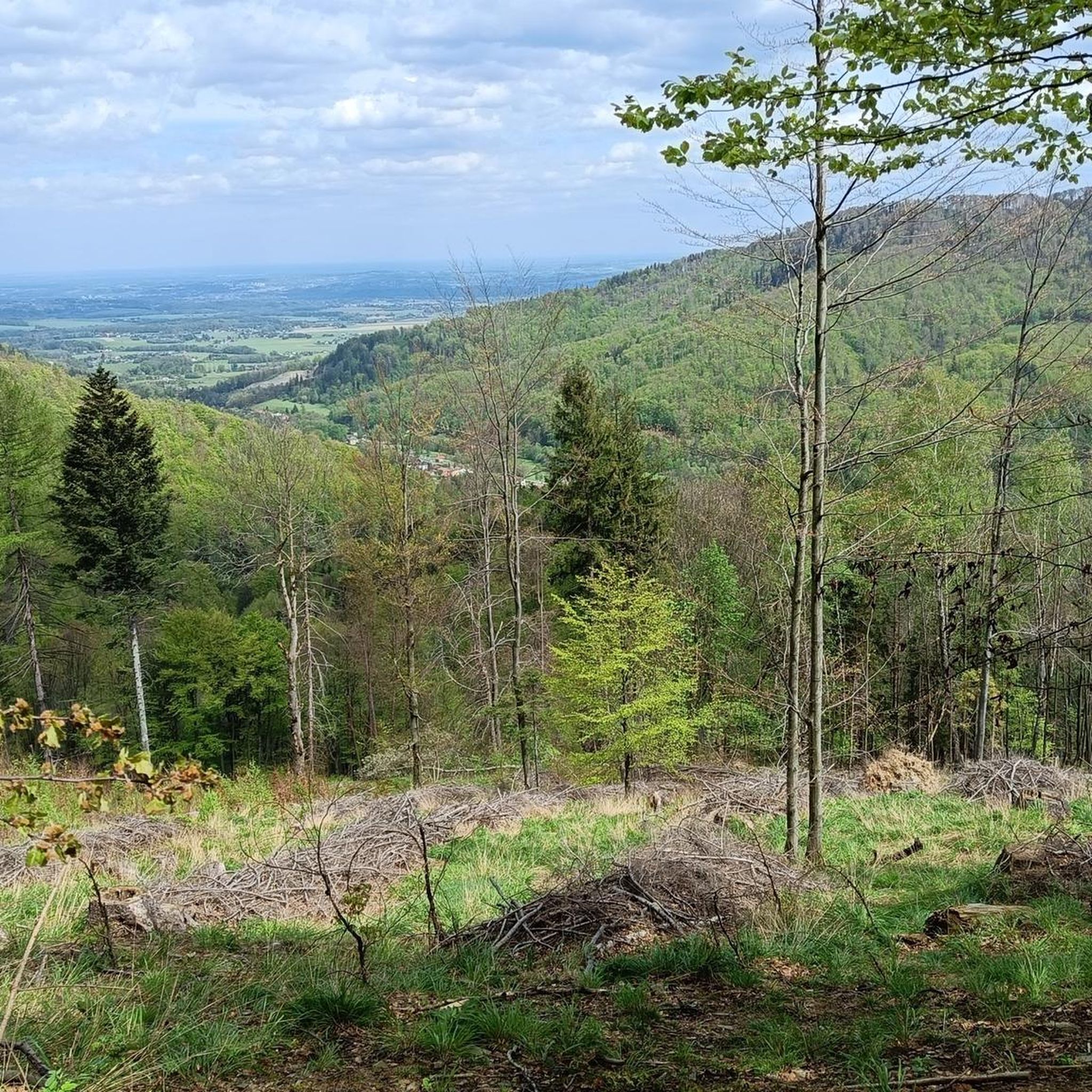
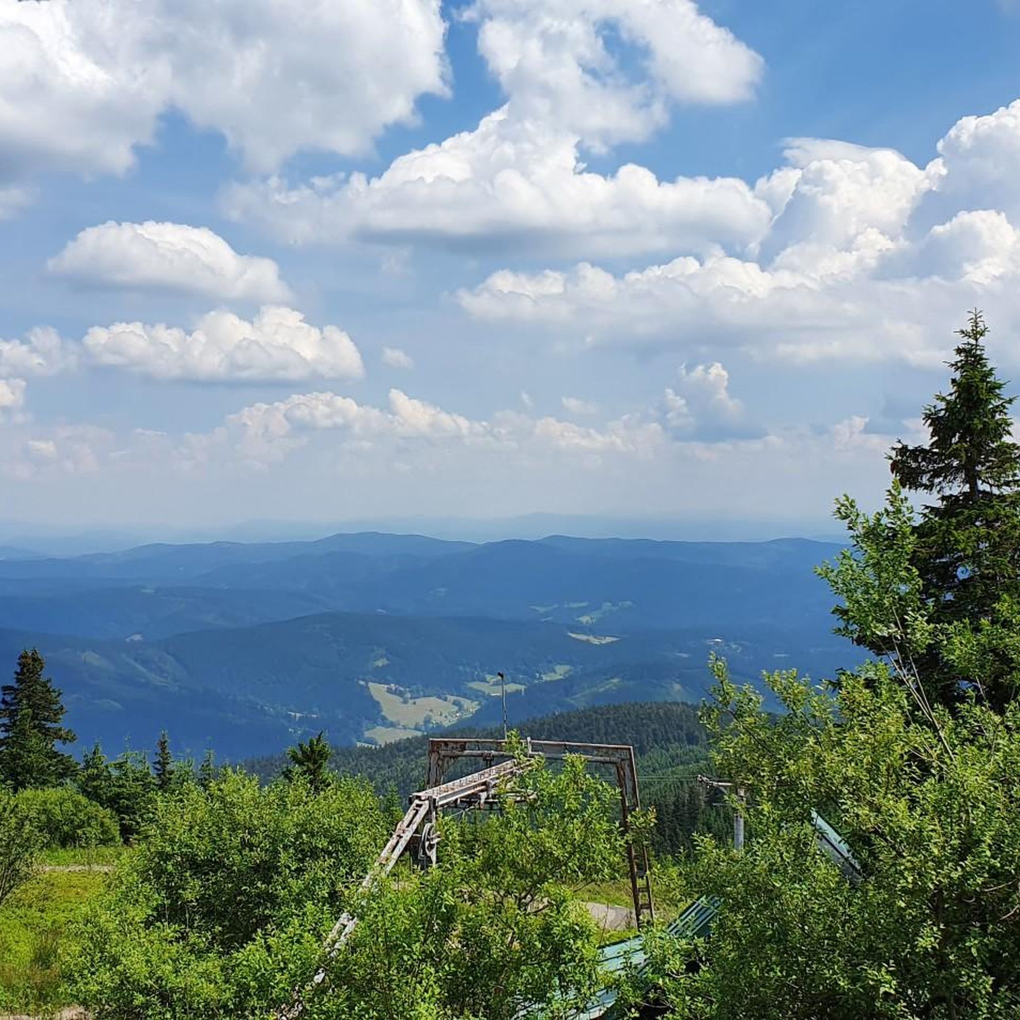
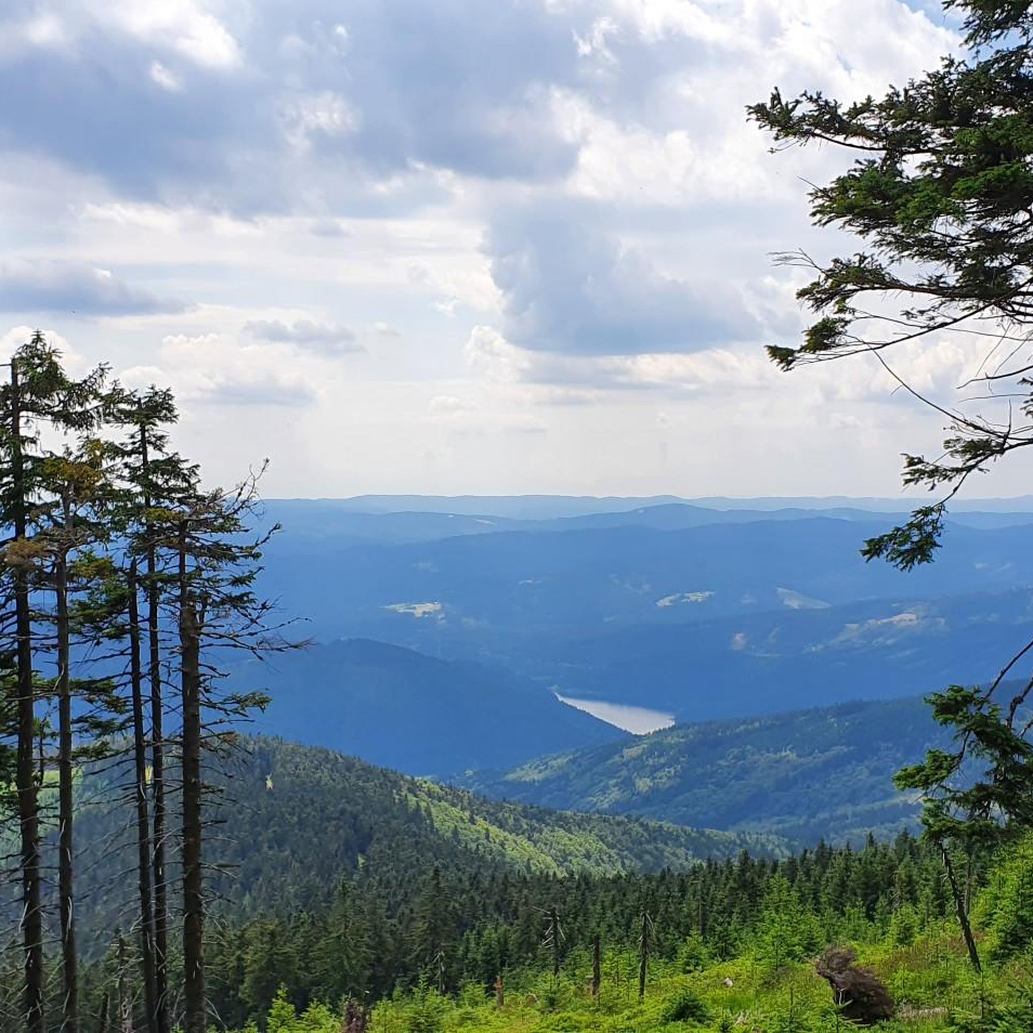

Tips from the Community

From the beginning of its existence, it has been a pilgrimage church. Therefore, during your visit to the Prašivá cottage, it will be locked. It only opens during pilgrimages and religious services, e.g. to St. Anthony, on New Year's Eve. Interesting fact: In the years 1939-1945, the church was already located outside the borders of the so-called Protectorate, and thus access was denied to Czech pilgrims. (Briefly in 1938-39, the church at Prašivá was in Polish occupied territory).
3
0
The church was built in 1640 and is a typical example of folk architecture in Silesia. It is a simple wooden single-nave building, the presbytery is three-sided, the windows are five-sided with shutters. The roof is made of shingles, as is the small turret. On the main altar is a painting of St. Anthony. The organ is from 1801. The current appearance of the church is from 1907.
3
0
The Kotař tourist cottage is located three kilometers north of the village of Morávka. Next to the cottage, there is a signpost for the blue and red tourist trails. The cottage also offers accommodation, and a summer seating area has been built in front of it. To the east of the tourist cottage rises the peak of Lipí (901 m above sea level), and there is a nice view of it from the cottage. Following the blue trail, we can reach the Kotař cottage from the foothill village of Komorní Lhotka or from the other side from the village of Morávka. The red trail passing through the crossroads leads from Malá Prašivá and from the cottage continues over the peak of Ropička (918 m above sea level) to the Ropička tourist cottage, from where we can continue first on the green and then on the yellow trail to the village of Řeka.
3
0
The cottage is located below the summit of the Lípí mountain on the ridge between the Ropička and Čupel mountains above the village of Morávka at an altitude of 795 m.
3
0
The Morávka water reservoir is a valley dam reservoir on the Morávka River near the village of the same name in the Moravian-Silesian Beskids, built in the 1960s. The main purposes of the reservoir are collecting reserves for drinking water production and flood protection. The area around the reservoir is subject to sanitary protection and swimming in it is not permitted.
3
0
Visalaje is a mountain settlement in the Zadní hory (Rear Mountains) in the Moravian-Silesian Beskids, on the slope of the Visalaje hill (800 m a.s.l.) at the end of a 12 km long valley between Lysá hora, Travný and Bílý Kříž. There is a beautiful view of Lysá hora from here.
3
0
The summit of Lysá hora (1324 m a.s.l.) is located in the Moravian-Silesian Beskids mountain range. Lysá hora (1324 m a.s.l.) is the highest peak of the Moravian-Silesian Beskids and the third most prominent Czech mountain.
2
0
Lysá hora (German Kahlberg; 1324 m a.s.l., previously reported height 1323 m a.s.l.) is the highest mountain in the Moravian-Silesian Beskids and Těšínsko region. It lies on the border of the municipalities of Krásná, Malenovice, Ostravice, and Staré Hamry. This peak was also the highest point of the Protectorate of Bohemia and Moravia between 1939–1945 (although it lies in Silesia). On the bare (lysá) summit, which is accessible by a road from Krásná, there is a characteristic telecommunication transmitter, a meteorological station, and several mountain huts.
2
0
Frequently Asked Questions
What is the general difficulty level of touring cycling routes in Ochranné Pásmo I. Stupně Vodního Díla Morávka?
The touring cycling routes in Ochranné Pásmo I. Stupně Vodního Díla Morávka are predominantly challenging, characterized by mountainous terrain and significant elevation changes. All routes listed in this guide are classified as difficult, making them best suited for experienced cyclists.
Are there any family-friendly or beginner touring cycling routes available?
Due to the region's mountainous nature and the substantial elevation gains, most touring cycling routes in Ochranné Pásmo I. Stupně Vodního Díla Morávka are considered difficult. There are no easy or moderate routes listed, so beginners and families with young children might find these trails too demanding.
How long do touring cycling routes typically take to complete in this region?
The duration of touring cycling routes varies based on their length and elevation. For instance, the challenging Ropička Mountain Hut – Morávka Reservoir loop from Morávka, spanning 33.0 miles (53.2 km), typically takes around 4 hours 50 minutes. Shorter routes, like the Ropička Mountain Hut – Malá Prašivá Hut loop from Komorní Lhotka (12.3 miles / 19.8 km), can be completed in approximately 1 hour 54 minutes.
What are the best times of year to go touring cycling in Ochranné Pásmo I. Stupně Vodního Díla Morávka?
The best time for touring cycling in this mountainous region is generally from late spring to early autumn (May to October). During these months, the weather is more stable, and trails are free of snow and ice, which can be present at higher elevations during colder periods. Always check local weather forecasts before heading out.
Are there any circular touring cycling routes in the area?
Yes, many of the touring cycling routes in Ochranné Pásmo I. Stupně Vodního Díla Morávka are designed as loops. Examples include the Lysá Hora (1,323 m) – Lysá Hora Summit loop from Parkoviště Zlatník and the Chata Ráda – Ropička Mountain Hut loop from Tyra, allowing you to start and finish at the same point.
What kind of scenery can I expect along the touring cycling routes?
The routes offer diverse scenery, from dense mountain forests to expansive views from prominent peaks like Lysá Hora. You'll also encounter the serene surroundings of the Morávka Reservoir and pass by traditional mountain huts. The region's natural beauty is a significant draw for cyclists.
What should I wear for touring cycling in this mountainous region?
Given the significant elevation changes and potential for varied weather, it's advisable to dress in layers. Moisture-wicking base layers, a mid-layer for warmth, and a waterproof/windproof outer shell are recommended. Don't forget a helmet, gloves, and appropriate cycling shoes.
Are there places to eat or rest along the touring cycling routes?
Yes, the region features several mountain huts (chata) that often provide refreshments and a place to rest. For example, routes may pass by or near Ropička Mountain Hut or Malá Prašivá Hut, offering opportunities for a break and a meal.
What do other touring cyclists enjoy about Ochranné Pásmo I. Stupně Vodního Díla Morávka?
The area is highly rated by the komoot community, with an average score of 4.0 stars. Reviewers often praise the challenging ascents, rewarding panoramic views from peaks like Lysá Hora, and the immersive experience of cycling through dense mountain forests and past the Morávka Reservoir.
How many touring cycling routes are available in Ochranné Pásmo I. Stupně Vodního Díla Morávka?
There are 9 touring cycling routes available in Ochranné Pásmo I. Stupně Vodního Díla Morávka, all of which are classified as difficult due to the challenging mountainous terrain.
Where can I find parking for accessing the touring cycling trails?
While specific parking details for every trailhead are not provided, many routes, such as the Lysá Hora (1,323 m) – Lysá Hora Summit loop from Parkoviště Zlatník, indicate starting points from designated parking areas. It's advisable to check the individual route descriptions on komoot for precise parking information.
Are there any less crowded touring cycling trails in the area?
Given that all routes are classified as difficult and involve significant climbs, they tend to attract more experienced cyclists, which can naturally lead to fewer crowds compared to easier, more accessible trails. For a potentially quieter experience, consider cycling during weekdays or outside of peak holiday seasons.
Most popular routes in Ochranné Pásmo I. Stupně Vodního Díla Morávka

Get inspired with the komoot mobile app


Explore more
Browse the best Cycling routes in other regions.
