Obszar Chronionego Krajobrazu Wzgórza Trzebnickie
Obszar Chronionego Krajobrazu Wzgórza Trzebnickie
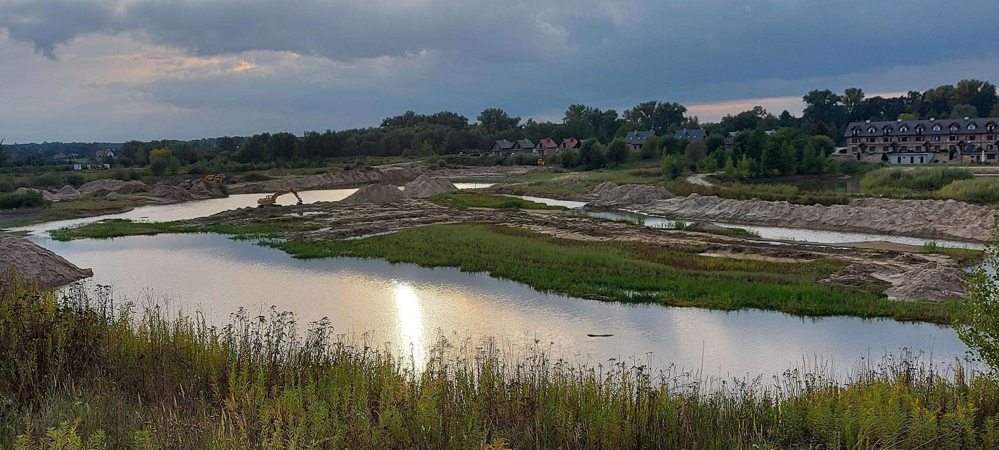
The best running trails in Obszar Chronionego Krajobrazu Wzgórza Trzebnickie
4.9
(104)
3,240
runners
226
runs
Jogging in Obszar Chronionego Krajobrazu Wzgórza Trzebnickie offers diverse topography with picturesque moraine hills, formed during the Middle Polish glaciation. The landscape features a mosaic of dense deciduous forests, expansive fields, and blooming orchards, with deep ravines and loess gorges adding to the geological character. The region's undulating hills provide varied terrain suitable for improving fitness through running. Highest points like Farna Góra (257 m) and Ciemna Góra (258 m) offer panoramic views.
Best jogging routes in Obszar Chronionego Krajobrazu…
Last updated: July 15, 2026
5.0
(1)
11
runners
7.74km
00:51
70m
70m
Moderate run. Good fitness required. Mostly paved surfaces. Suitable for all skill levels.
5
runners
10.6km
01:10
70m
70m
Moderate run. Good fitness required. Mostly paved surfaces. Suitable for all skill levels.

Sign up for free
5
runners
7.37km
00:49
30m
30m
Moderate run. Good fitness required. Mostly paved surfaces. Suitable for all skill levels.
4
runners
5.67km
00:36
30m
30m
Moderate run. Good fitness required. Mostly paved surfaces. Suitable for all skill levels.
3
runners
12.5km
01:21
140m
140m
Moderate run. Good fitness required. Mostly paved surfaces. Suitable for all skill levels.
Get access to more routes and recommendations from other explorers.
Sign up for free
Already have an account?
Our route recommendations are based on thousands of hikes, rides, and runs completed by other people on komoot.
Start today with a free account
Your next adventure awaits.
Login or Signup
Popular around Obszar Chronionego Krajobrazu Wzgórza Trzebnickie
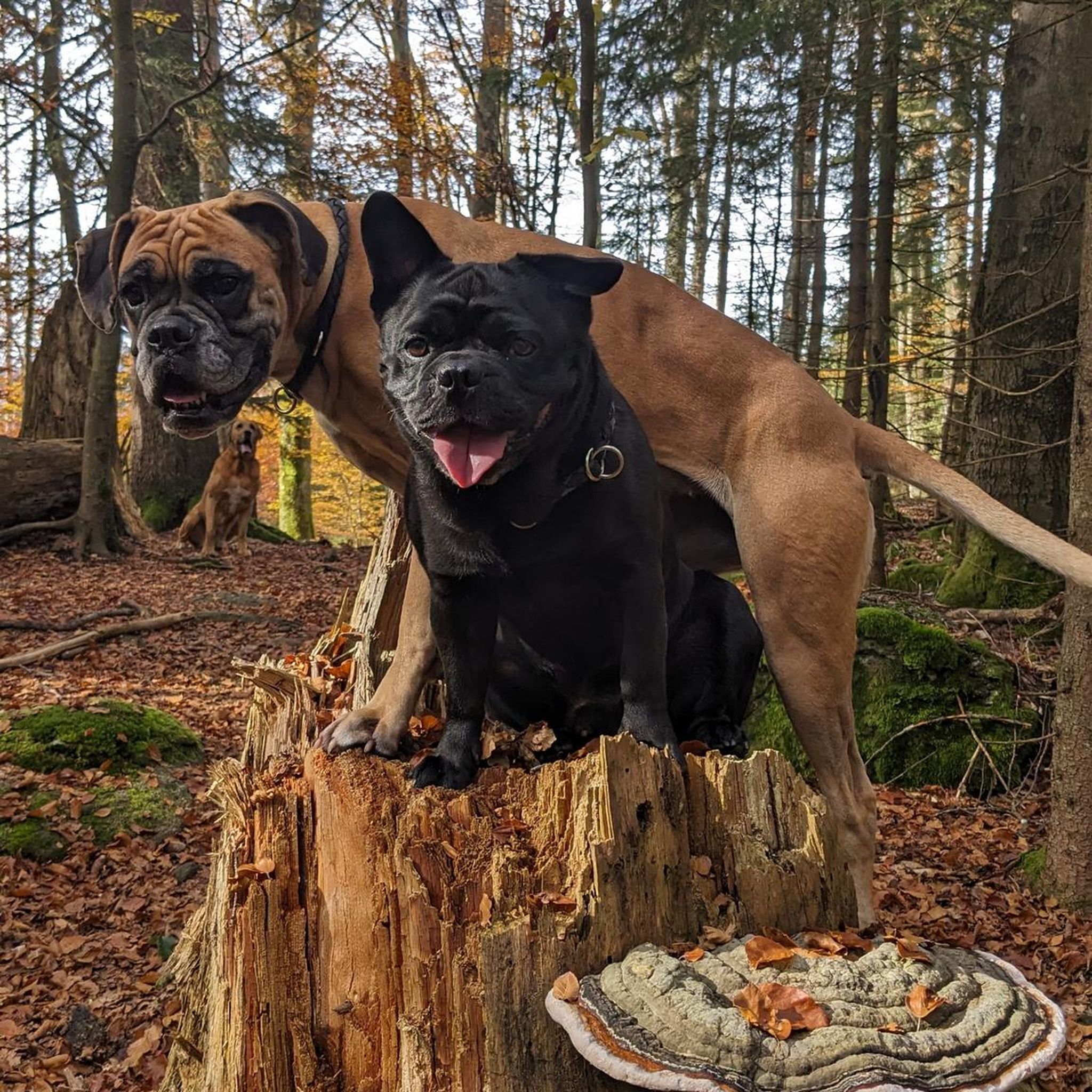
Gravel biking in Obszar Chronionego Krajobrazu Wzgórza Trzebnickie
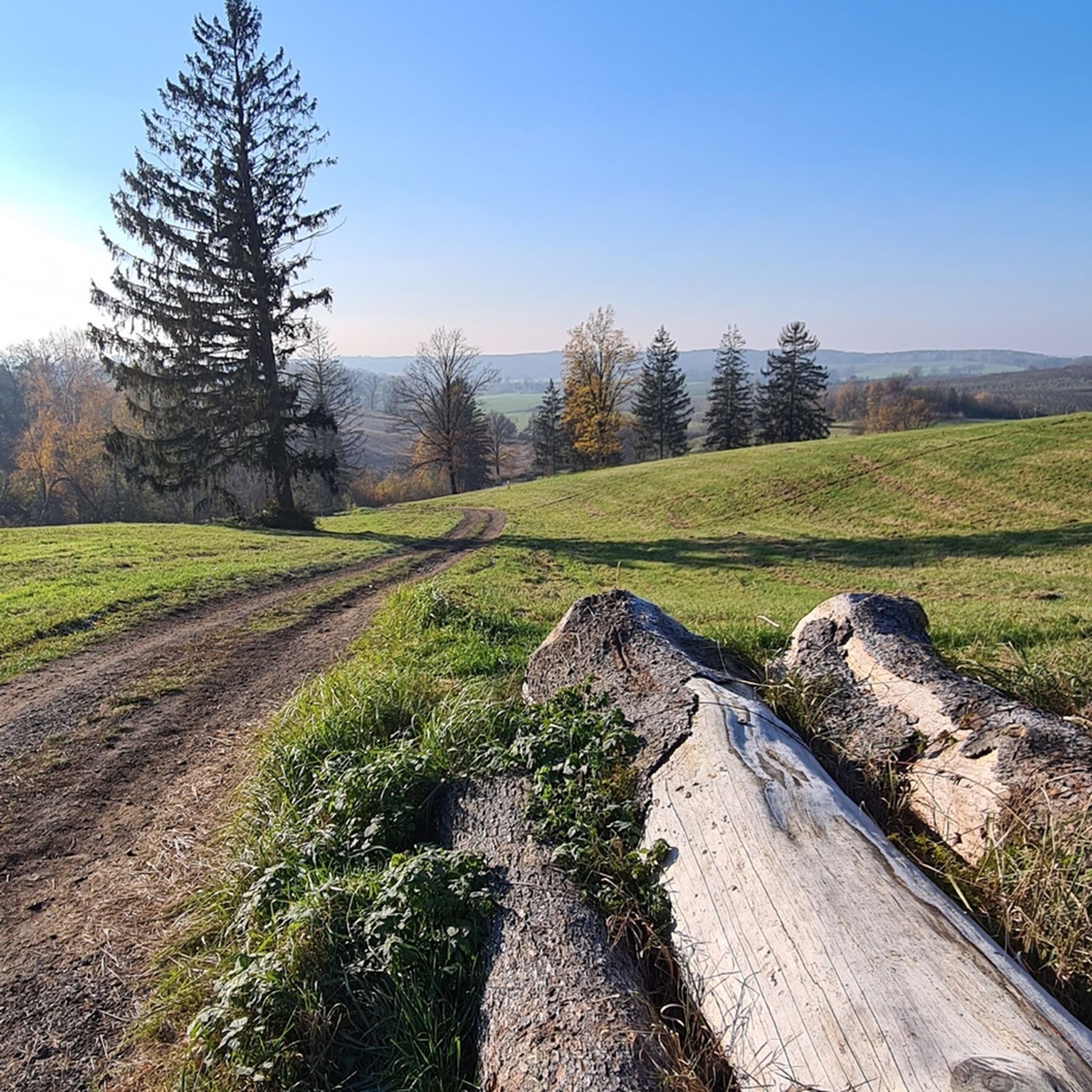
MTB Trails in Obszar Chronionego Krajobrazu Wzgórza Trzebnickie
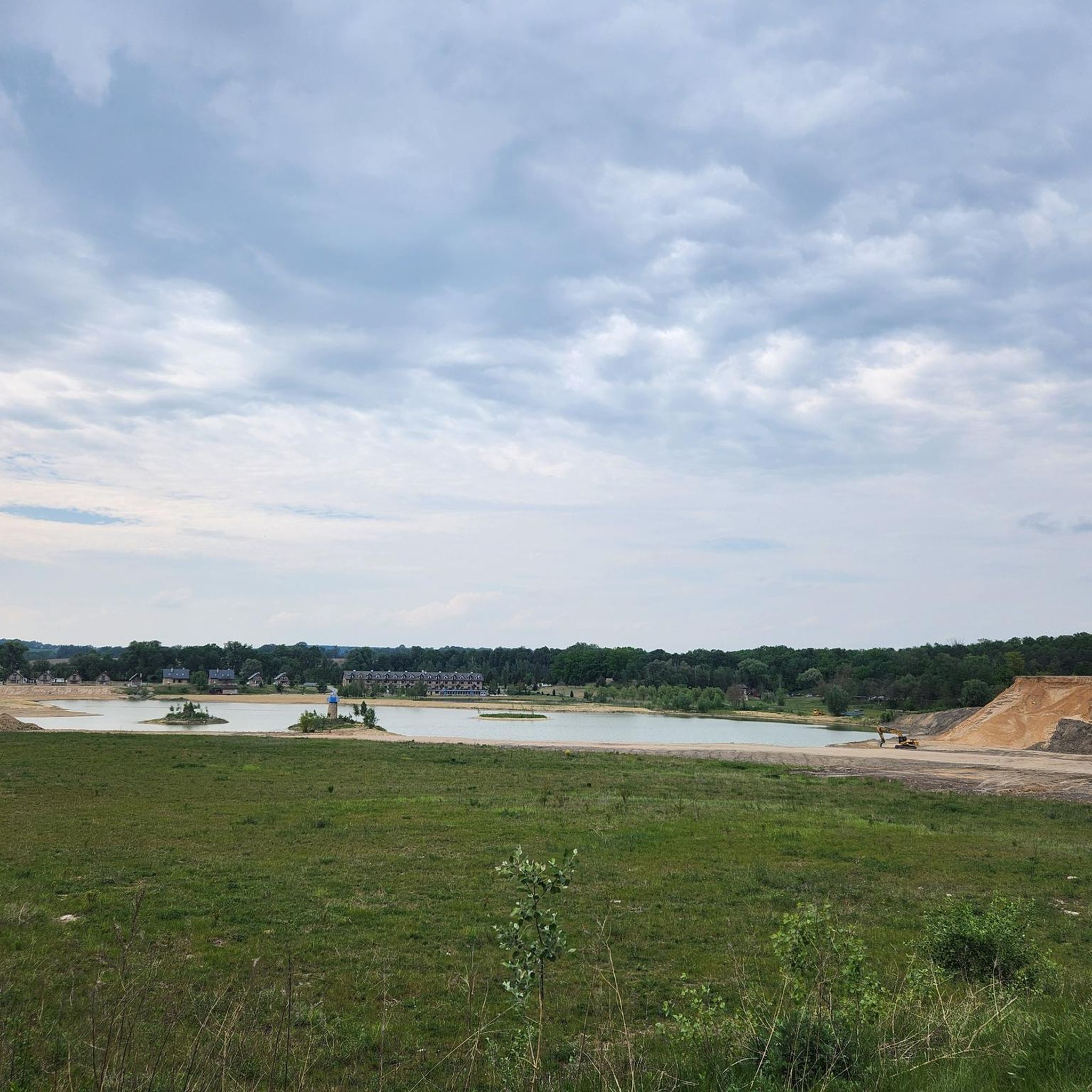
Hiking in Obszar Chronionego Krajobrazu Wzgórza Trzebnickie
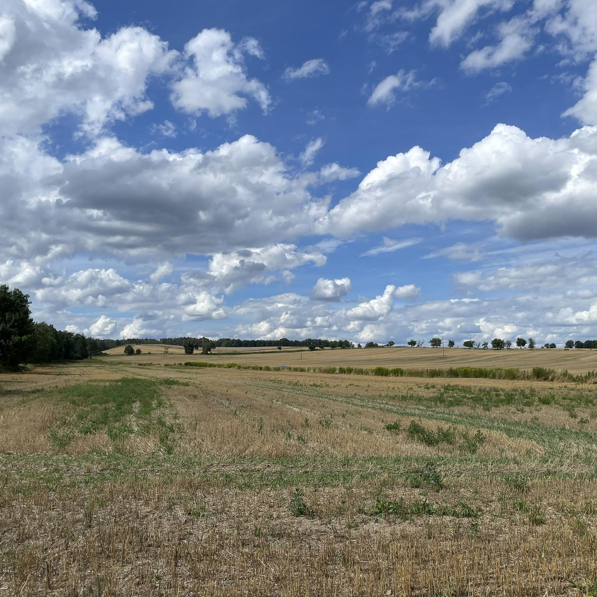
Cycling in Obszar Chronionego Krajobrazu Wzgórza Trzebnickie
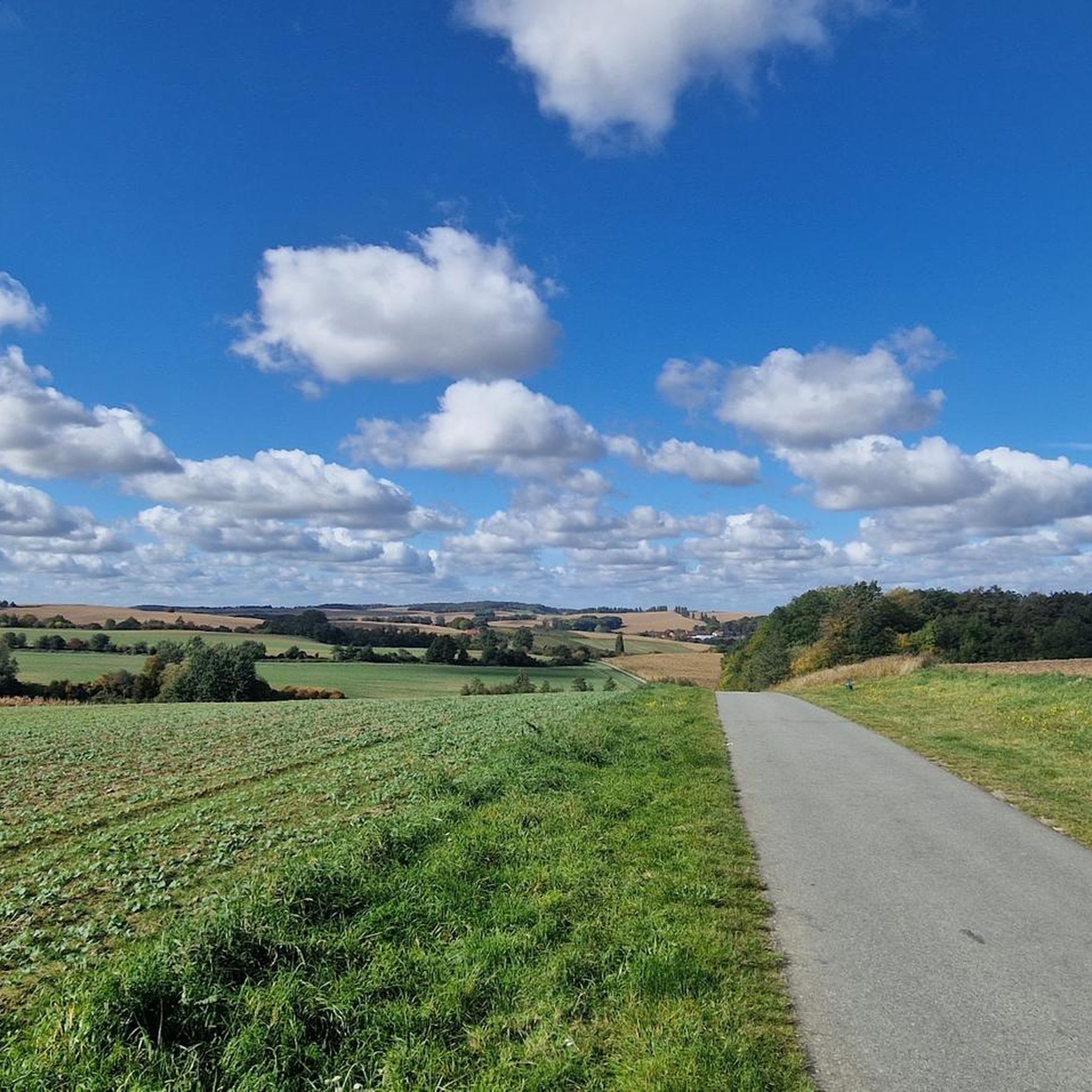
Road Cycling Routes in Obszar Chronionego Krajobrazu Wzgórza Trzebnickie
Frequently Asked Questions
How many running routes are available in Obszar Chronionego Krajobrazu Wzgórza Trzebnickie?
The region offers a wide selection of running routes, with over 190 trails available for various skill levels. These include 17 easy routes, 158 moderate routes, and 24 difficult routes, ensuring options for every runner.
What kind of terrain can I expect when jogging in the Trzebnica Hills?
The Trzebnica Hills, also known as 'Kocie Góry' (Cat Mountains), feature diverse topography with picturesque moraine hills, dense deciduous forests, expansive fields, and blooming orchards. You'll encounter undulating terrain, deep ravines, and loess gorges, providing a varied and engaging running experience. Some sections can be quite steep, offering a good challenge.
Are there any circular running routes in the area?
Yes, many routes in the Trzebnica Hills are circular. For example, the Bukowe Wzgórze loop from Golędzinów is a popular 4.8-mile (7.7 km) trail that takes you through varied forest and hill terrain. Another great option is the Park w Wilczynie loop from Golędzinów, a moderate 6.6-mile (10.6 km) path through natural parkland.
Are the running trails in Obszar Chronionego Krajobrazu Wzgórza Trzebnickie suitable for families?
Yes, the region offers routes suitable for families. While some trails have significant elevation gains, there are also easier, shorter runs available. Look for routes with lower difficulty grades or those that stick to less challenging paths through fields and forests, providing a pleasant experience for all ages.
Can I bring my dog on the jogging routes?
Generally, dogs are welcome on the trails in Obszar Chronionego Krajobrazu Wzgórza Trzebnickie. However, it's always recommended to keep your dog on a leash, especially in forested areas or near wildlife, and to be mindful of other trail users. Ensure you clean up after your pet to maintain the natural beauty of the area.
What are some interesting sights or landmarks I might encounter while running?
The Trzebnica Hills offer several points of interest. You might run past the historic Wysoki Kościół Church or enjoy a scenic section like the Clearing through Maliński Forest. The region also boasts panoramic viewpoints from its highest hills, such as Farna Góra and Ciemna Góra, offering views of the Barycz and Oder river valleys, and even the distant Karkonosze mountains on clear days.
What is the best time of year to go running in the Trzebnica Hills?
Spring and autumn are generally ideal for running in the Trzebnica Hills. In spring, you can enjoy blooming orchards, while autumn offers beautiful foliage. Summer can be pleasant, especially in forested areas, but be aware that after rainfall, the loess-rich paths can become very muddy, which might affect running conditions.
Are there any challenging running routes for experienced runners?
Absolutely. Despite not being high mountains, the 'Kocie Góry' nickname reflects the steepness of some sections, providing a good challenge. The highest parts of the range, particularly between Trzebnica and Oborniki, offer more demanding routes with significant elevation gains, perfect for pushing your limits. Consider the Park Pałacowy loop from Pierwoszów, which features over 139 meters of elevation gain over 12.5 km.
How accessible is the Obszar Chronionego Krajobrazu Wzgórza Trzebnickie by public transport?
The Trzebnica Hills are easily accessible. Located just north of Wrocław, the area can be reached by revived rail connections, making it a convenient option for a spontaneous outdoor excursion without needing a car. Check local train schedules for connections to Trzebnica and surrounding towns.
What do other runners say about the trails in this region?
The running routes in Obszar Chronionego Krajobrazu Wzgórza Trzebnickie are highly rated by the komoot community, with an average score of 4.8 stars from over 90 reviews. Runners often praise the varied terrain, scenic landscapes, and the refreshing environment provided by the dense forests and natural parkland.
Where can I find parking near the running routes?
Parking is generally available in and around the towns that serve as starting points for many routes, such as Trzebnica, Golędzinów, and Pierwoszów. For example, if you plan to run the Pałac w Wiszni Małej loop, you can often find parking near the palace itself, which serves as a convenient starting point.
Most popular routes in Obszar Chronionego Krajobrazu Wzgórza Trzebnickie
Most popular attractions in Obszar Chronionego Krajobrazu Wzgórza Trzebnickie

Get inspired with the komoot mobile app


Explore more
Browse the best Running Trails & Routes in other regions.
