The best MTB trails in Landschaftsschutzgebiet Zschonergrund
4.6
(2555)
10,991
riders
700
rides
Mountain bike trails in Landschaftsschutzgebiet Zschonergrund traverse a picturesque nature reserve, characterized by the winding Zschonerbach stream and diverse natural features. The area features forested sections, open fields, and varied terrain, offering a compelling destination for outdoor activities. Trails often follow the stream's course, providing a mix of landscapes for mountain bikers. The region's topography includes gentle slopes and some elevation changes, making it suitable for different skill levels.
Best mountain bike trails in Landschaftsschutzgebiet Zschonergrund
- The most popular mountain…
Last updated: July 11, 2026
5.0
(1)
7
riders
Moderate mountain bike ride. Good fitness required. Advanced riding skills necessary.
5.0
(2)
7
riders
39.5km
02:51
640m
640m
Moderate mountain bike ride. Good fitness required. Advanced riding skills necessary.

Sign up for free
5
riders
49.0km
03:12
460m
460m
Moderate mountain bike ride. Good fitness required. Advanced riding skills necessary.
4.7
(3)
13
riders
12.9km
01:04
200m
200m
Moderate mountain bike ride. Great for any fitness level. Advanced riding skills necessary.
9
riders
18.6km
01:27
250m
250m
Moderate mountain bike ride. Great for any fitness level. Advanced riding skills necessary.
Get access to more routes and recommendations from other explorers.
Sign up for free
Already have an account?
Our route recommendations are based on thousands of hikes, rides, and runs completed by other people on komoot.
Start today with a free account
Your next adventure awaits.
Login or Signup
Popular around Landschaftsschutzgebiet Zschonergrund
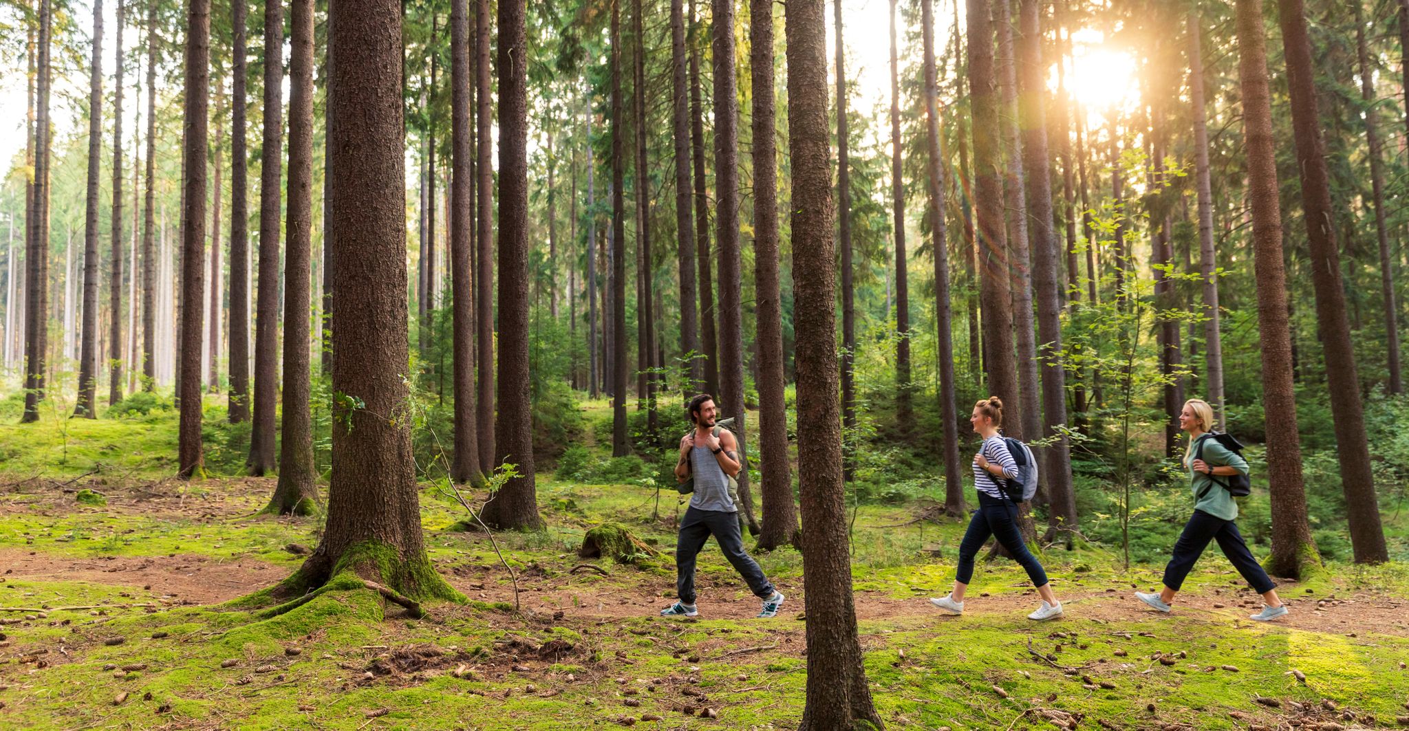
Dresden's green side – discover nature while hiking
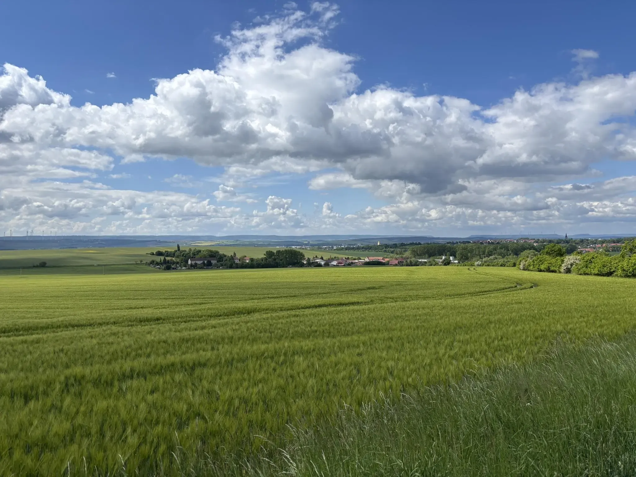
Mindful Hiking 2.1 – Abstand gewinnen
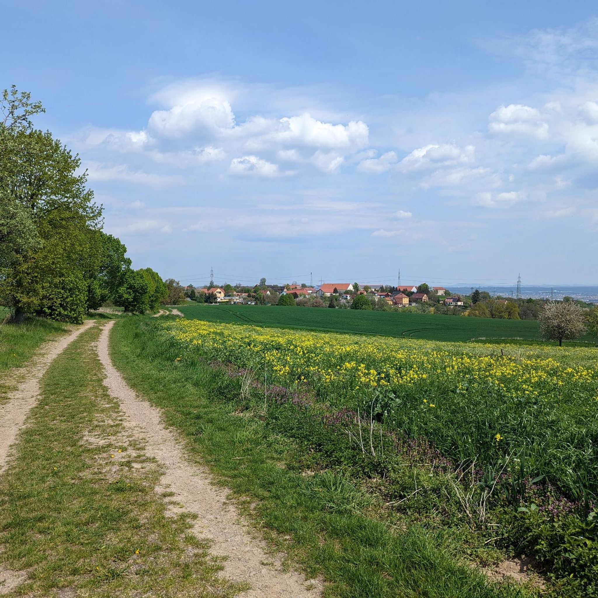
Hiking in Landschaftsschutzgebiet Zschonergrund
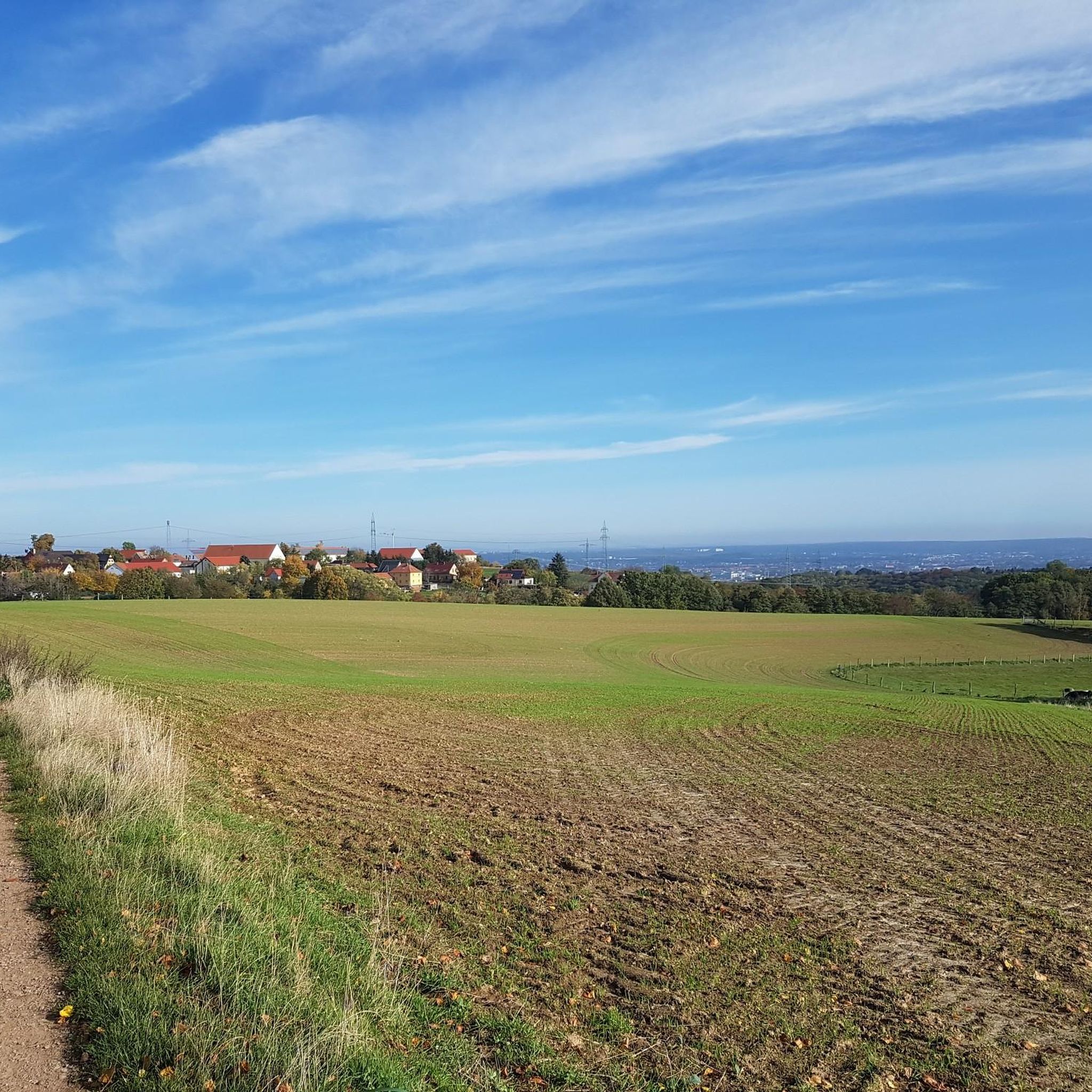
Running Trails in Landschaftsschutzgebiet Zschonergrund
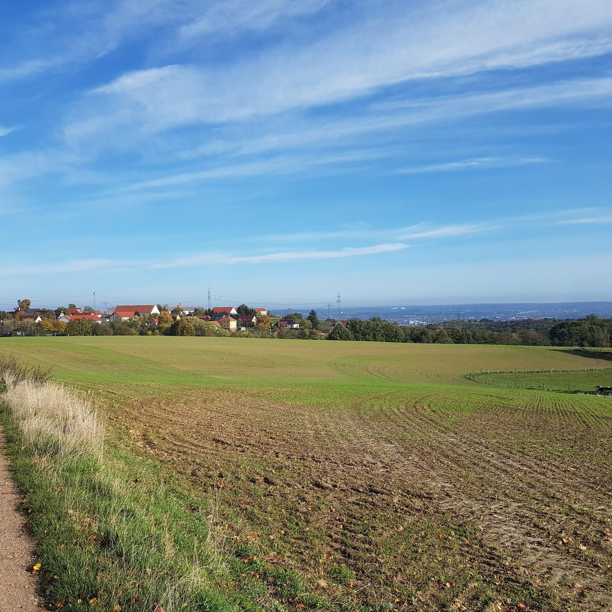
Cycling in Landschaftsschutzgebiet Zschonergrund
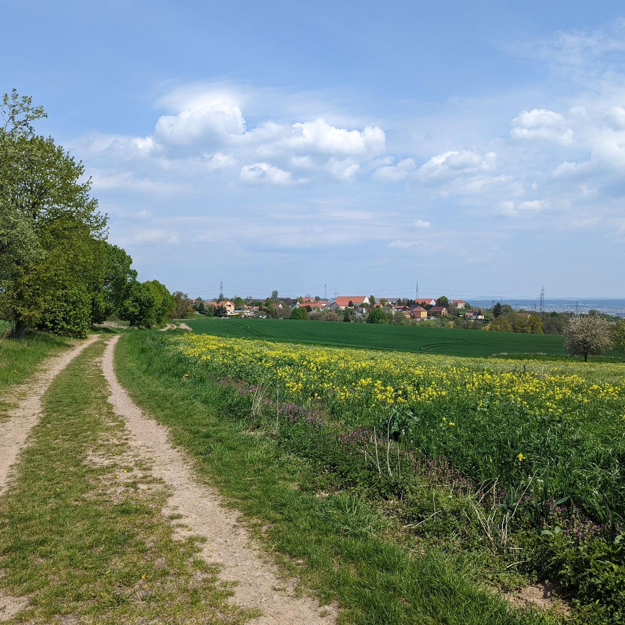
Road Cycling Routes in Landschaftsschutzgebiet Zschonergrund
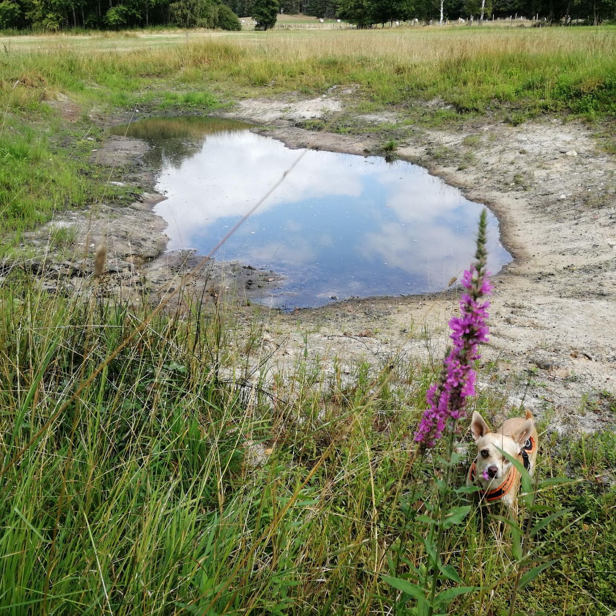
Gravel biking in Landschaftsschutzgebiet Zschonergrund
Other adventures in Landschaftsschutzgebiet Zschonergrund


Tips from the Community

From 13.04.2026 to probably 26.06.2026, the ferry cannot be used. The jetties will be renewed and a new ferry with electric drive will be introduced.
1
0

At the lower pond, you will find a snack bar with a gondola station.
0
0

Here you can park for free to hike into the Zschonergrund valley.
0
0

Besides the many information panels, there are also various places to rest, including the attractive bench. What the picture with the dog has to do with the seating area is beyond me. Some people just don't read the title of the highlight and throw in random, irrelevant pictures.
1
0

nice if you want to take a shortcut ;-)
2
1
An absolute eye-catcher in the Zschonergrund.
1
0

Again a very nice, clean shelter for a small picnic
0
1

Frequently Asked Questions
How many mountain bike trails are available in Landschaftsschutzgebiet Zschonergrund?
Landschaftsschutzgebiet Zschonergrund offers a wide selection of mountain bike trails, with over 680 routes to explore. These include options for various skill levels, ensuring there's a suitable ride for everyone.
What are the difficulty levels of mountain bike trails in Zschonergrund?
The trails in Zschonergrund cater to a range of abilities. You'll find approximately 140 easy trails, over 430 moderate routes, and more than 100 challenging trails for experienced riders.
What kind of landscape can I expect while mountain biking in Zschonergrund?
You can expect a picturesque and diverse landscape. The area is characterized by the romantic Zschonerbach stream, which many trails follow, as well as forested sections and open fields. From higher points, such as the field path leading to Podemus, you can enjoy magnificent views of the region, including Dresden.
Are there easy mountain bike trails suitable for beginners in Zschonergrund?
Yes, there are plenty of easy trails perfect for beginners. For example, the View of Dresden (Elbflorenz) – Gohlis Windmill loop from Dresden-Kemnitz is an easy 27.4 km route that offers gentle terrain and scenic views.
Where can I find more challenging mountain bike routes in Zschonergrund?
For those seeking a challenge, Zschonergrund has over 100 difficult trails. While specific routes vary, these often feature more significant elevation changes and technical sections. You can filter for 'difficult' trails on komoot to find the most demanding options.
What interesting sights or landmarks can I see along the mountain bike trails in Zschonergrund?
The Zschonergrund is rich in points of interest. You can visit the historic Zschoner Mill, explore the scenic Zschonerbach Trail, or cross the unique Zschonersteig Metal Walkway. Don't miss the View of Dresden from the Zschonergrund near Podemus for a panoramic vista.
Is there anywhere to eat or rest along the trails in Zschonergrund?
Yes, the historic Zschoner Mill is a central attraction that serves as a great place to eat and relax. It offers a pleasant atmosphere with good food, including organic, vegetarian, and vegan options, making it an ideal resting spot during your ride.
How long do mountain bike trails in Zschonergrund typically take to complete?
Trail durations vary significantly based on distance and difficulty. For example, a moderate route like the Lake Triebisch – Grillenburg Ponds loop from Zschonergrund, which is 40.4 km, typically takes around 2 hours 40 minutes. Shorter, easier trails can be completed in less time, while longer, more challenging routes may take 3 hours or more.
Are there family-friendly mountain bike trails in Zschonergrund?
Yes, the Zschonergrund is known for its family-friendly atmosphere. Many trails follow the gentle course of the Zschonerbach stream, and there's even a nature trail (Zschonergrund Nature Trail) that provides interesting information about the local ecology, making it suitable for families.
Can I bring my dog on the mountain bike trails in Zschonergrund?
While the Zschonergrund is a popular outdoor area, specific regulations for dogs on mountain bike trails can vary. It's generally advisable to keep dogs on a leash, especially in nature reserve areas and near wildlife. Always check local signage for any specific rules or restrictions regarding pets on trails.
What do other mountain bikers enjoy most about the trails in Zschonergrund?
The mountain bike trails in Landschaftsschutzgebiet Zschonergrund are highly rated by the komoot community, with an average score of 4.6 stars from over 2,300 reviews. Riders often praise the diverse terrain, the romantic Zschonerbach stream, and the mix of forested sections and open fields that make for varied and enjoyable rides.
Are there any circular mountain bike routes in Zschonergrund?
Many of the mountain bike routes in Zschonergrund are designed as loops, allowing you to start and end at the same point. An example is the Grillenburg Hunting Lodge – Forest Adventure Grillenburg loop from Zöllmen, a 40.1 km moderate trail that offers varied forest paths.
What are the best times of year for mountain biking in Zschonergrund?
The Zschonergrund is enjoyable for mountain biking throughout much of the year. Spring and autumn offer pleasant temperatures and beautiful scenery with changing foliage. Summer is also popular, though trails can be busier. Winter riding is possible, but conditions may be muddy or icy, so checking the weather and trail conditions beforehand is recommended.
Most popular routes in Landschaftsschutzgebiet Zschonergrund
Most popular attractions in Landschaftsschutzgebiet Zschonergrund

Get inspired with the komoot mobile app


Explore more
Browse the best MTB trails in other regions.
