The best walks and hikes in Gohrische Heide
4.6
(306)
982
hikers
80
hikes
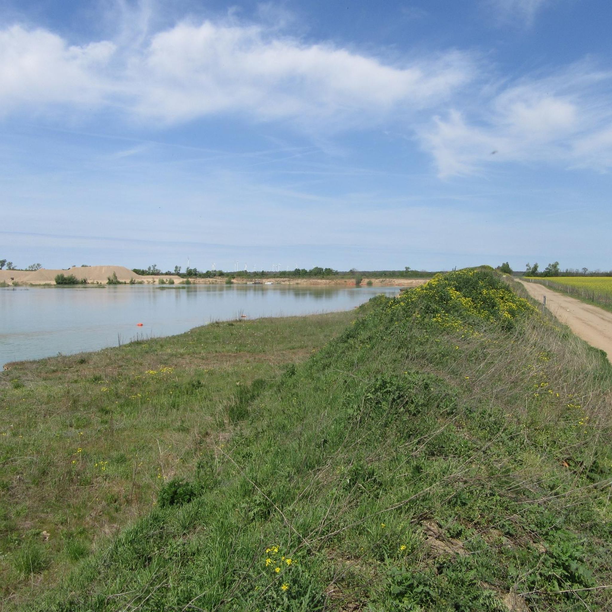
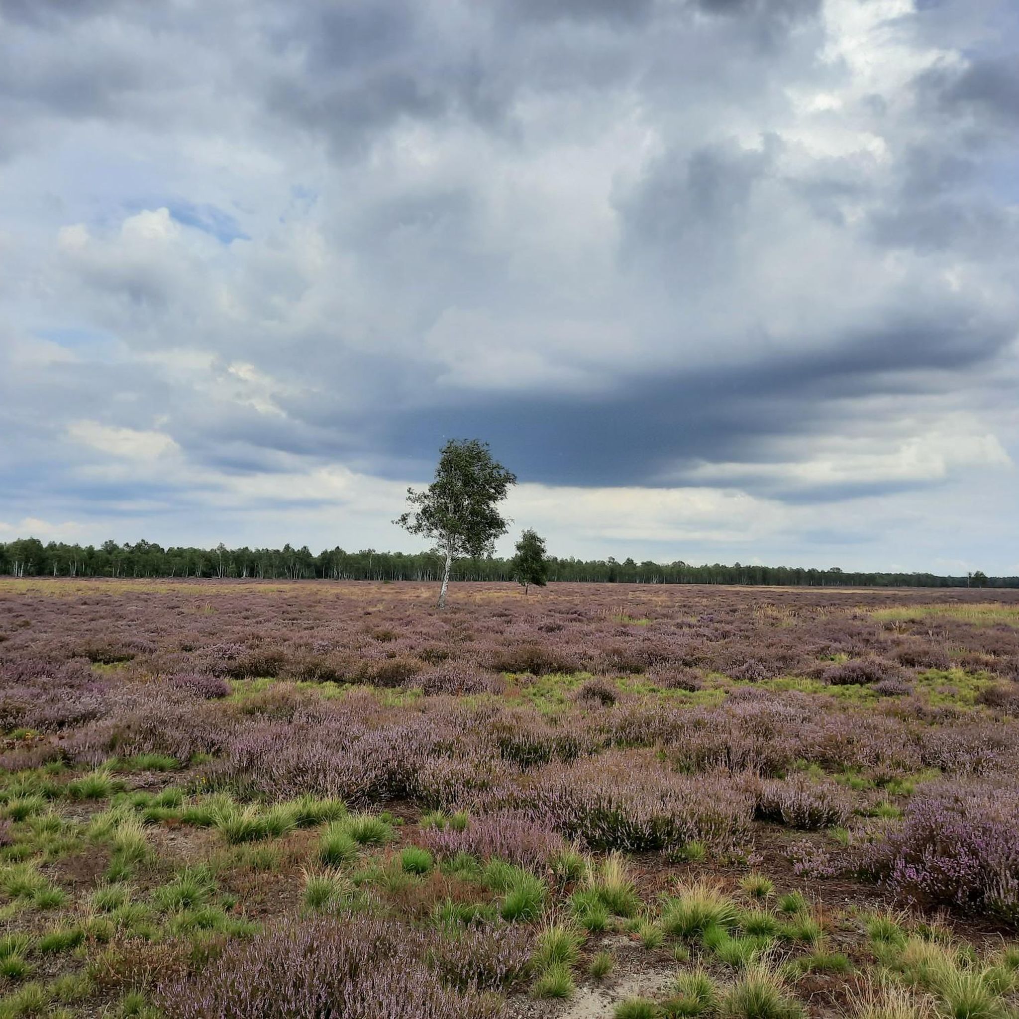
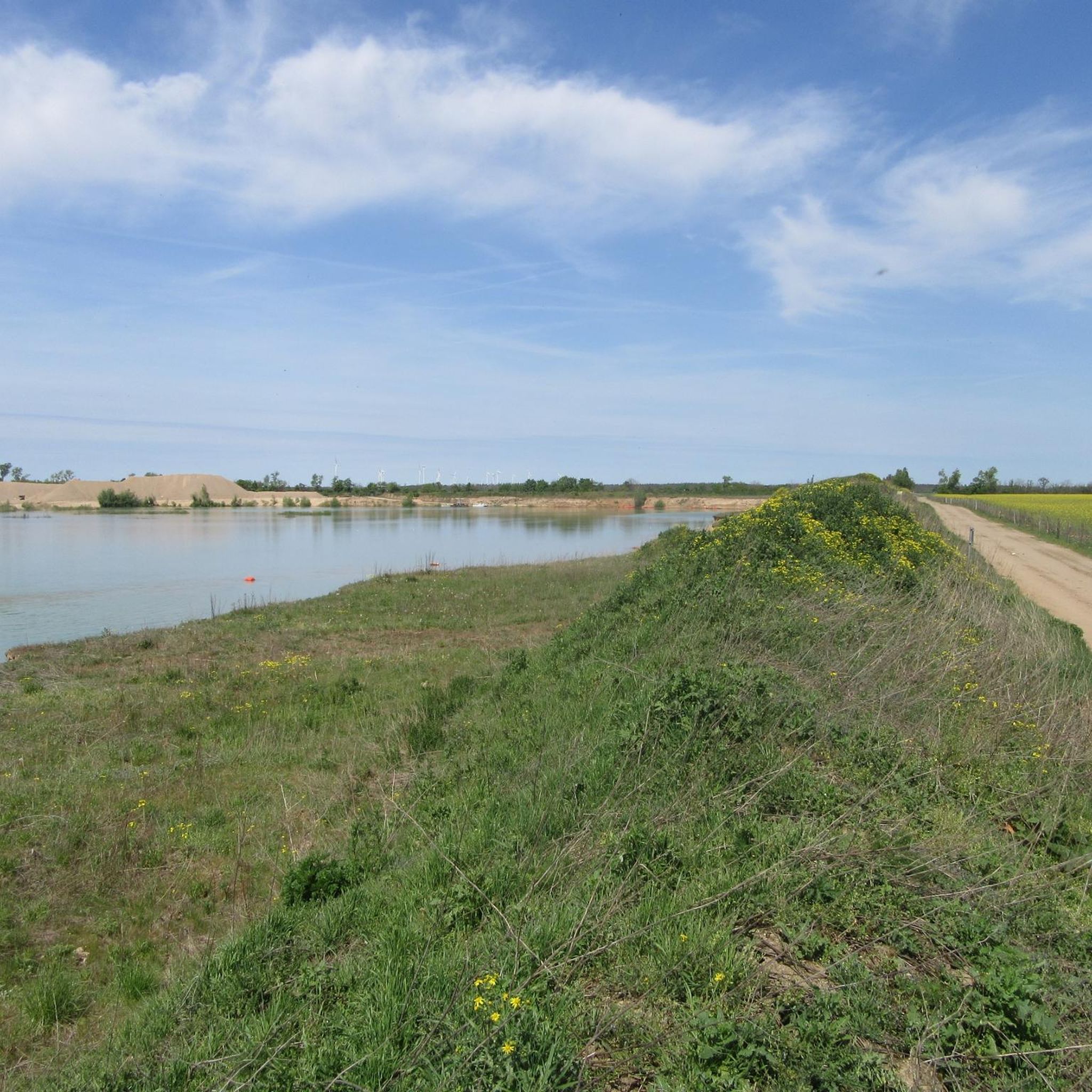
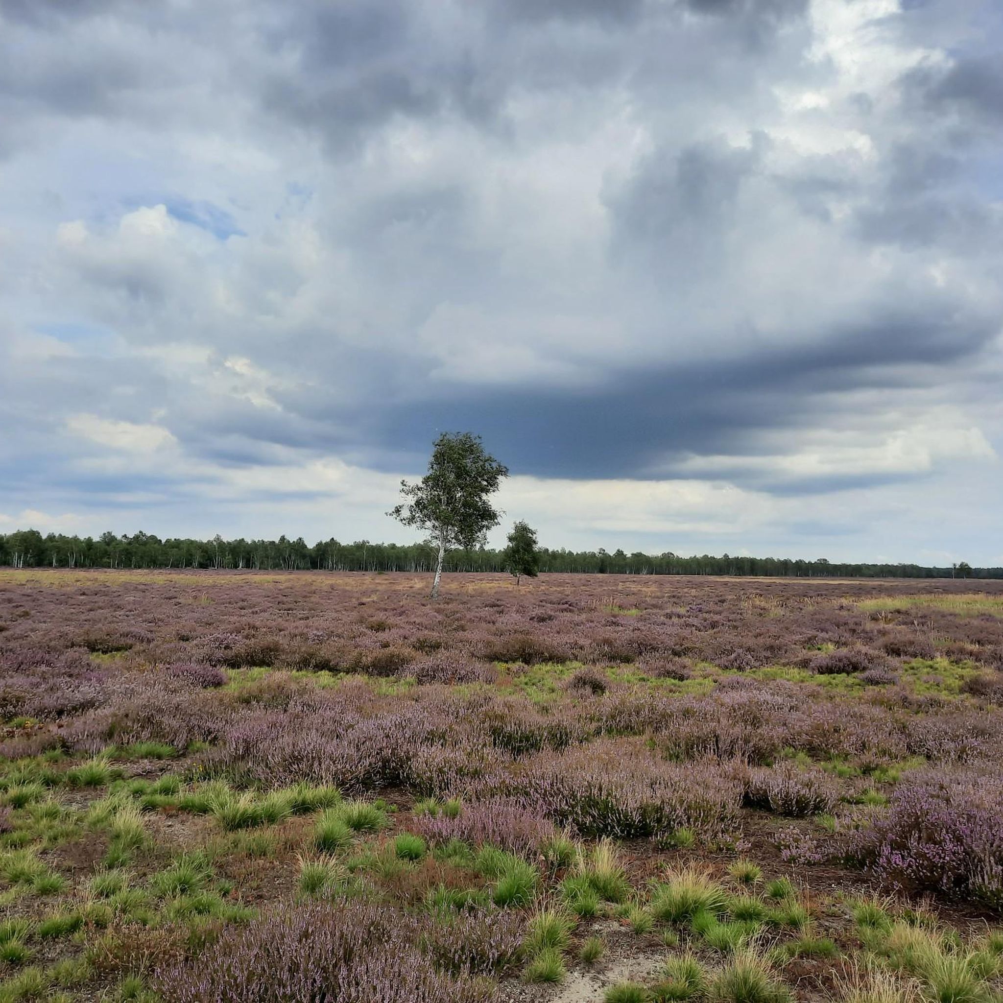
Hiking in Gohrische Heide offers diverse natural landscapes, characterized by dry, warm sand heaths and valuable inland dunes. The region features a unique, irregularly structured forest island with numerous open spaces, contributing to its rich biodiversity. Situated within the Elbe-Elster-Niederung and Lausitzer Urstromtal, the area's topography includes lowlands and ancient glacial meltwater valleys. This protected area provides a network of trails suitable for various fitness levels.
Best hiking trails in Gohrische Heide
- The most popular hiking route is Kosilenzien Village…
Last updated: October 13, 2026
4
hikers
Moderate hike. Good fitness required. Easily-accessible paths. Suitable for all skill levels.
5.0
(2)
8
hikers
6.67km
01:41
10m
10m
Easy hike. Great for any fitness level. Easily-accessible paths. Suitable for all skill levels.

4.8
(5)
24
hikers
10.9km
02:47
10m
10m
Moderate hike. Good fitness required. Easily-accessible paths. Suitable for all skill levels.
4.9
(7)
34
hikers
2.30km
00:35
0m
0m
Easy hike. Great for any fitness level. Easily-accessible paths. Suitable for all skill levels.
5.0
(1)
3
hikers
Easy hike. Great for any fitness level. Easily-accessible paths. Suitable for all skill levels.
Get access to more routes and recommendations from other explorers.
Already have an account?
Our route recommendations are based on thousands of hikes, rides, and runs completed by other people on komoot.
Start today with a free account
Your next adventure awaits.
Tips from the Community

An approx. 2.2 km long barrier-free circular trail. At the starting point, a small hiking parking lot for approx. 4-5 cars (if everyone parks space-savingly).
0
0

A very special place with a remarkably long history. "During the period between the late Bronze Age and the early Iron Age, a hillfort was built near the site as a refuge or defensive fort. This earthwork was approximately 400 meters in diameter. Later, the hillfort was used by Germanic and Slavic tribes." The site is perfect for a long break or a hearty picnic.
0
0

Beautiful rose garden, definitely worth a visit. The café is open on certain days.
0
0
Wonderful area with lots of birds.
0
0

Churches are always worth a visit. They give hikers a place to relax and rest.
0
0

From April 2024, the castle cafe will be open every Sunday from 2 p.m. to 5 p.m. Hiking tour around the Tiefenauer ponds, about 6 km, highly recommended for beginners. It's a good walk, you can watch swans, everything is very natural and not crowded. Picnic at the rose garden. The route was easy for my 13-year-old mixed breed dog to manage. Afterwards, coffee in the castle, unfortunately the cake was already gone by about 3:30 p.m. But alternatively we went to the ice cream parlor in Gröditz. Sweet ending!
0
0

Castle park is currently closed due to renovation
0
0

The castle is currently being extensively renovated. Part of the castle is a beautiful rose garden. The castle cafe only opens on Sundays between 2 p.m. and 5 p.m.
0
0
Frequently Asked Questions
How many hiking trails are available in Gohrische Heide?
Gohrische Heide offers a wide selection of routes, with over 75 hiking trails to explore. These range from easy walks to more moderate excursions, ensuring there's something for every fitness level.
What kind of terrain can I expect when hiking in Gohrische Heide?
The terrain in Gohrische Heide is characterized by diverse natural landscapes. You'll find dry, warm sand heaths, valuable inland dunes, and an irregularly structured forest island with numerous open spaces. The area is also situated within the Elbe-Elster-Niederung and Lausitzer Urstromtal, contributing to its distinctive topography.
Are there easy hiking routes suitable for beginners or casual walkers?
Yes, Gohrische Heide is very welcoming for beginners and casual walkers. Over 45 of the available routes are classified as easy, featuring accessible paths and minimal elevation changes. An example is the Heather Trail at Spansberg loop, a short and pleasant walk through open heathland.
What natural features or landmarks can I see along the trails?
Hikers can discover several interesting natural features and landmarks. The region is known for its dry sand heaths, unique forest islands, and the scenic Tiefenauer Ponds, where you might spot swans. The area is also a Natura 2000 site, preserving species-rich habitats and providing a home for endangered bird species.
Are there any circular hiking routes in Gohrische Heide?
Yes, many of the trails in Gohrische Heide are circular, offering convenient starting and ending points. A notable example is the Forest Playground – Adventure Playground loop from Neuburxdorf, which is an easy, family-friendly option.
Is Gohrische Heide suitable for family hikes with children?
Absolutely. Gohrische Heide has numerous easy routes perfect for families. The diverse landscape with its forest islands and open spaces provides an engaging environment for children. Consider routes like the Forest Playground – Adventure Playground loop for a pleasant family outing.
What do other hikers enjoy most about Gohrische Heide?
The komoot community highly rates Gohrische Heide, with an average score of 4.6 stars from over 250 reviews. Hikers often praise the region's diverse natural landscapes, the peaceful atmosphere, and the well-maintained trails that cater to various abilities. The scenic Tiefenauer Ponds are frequently highlighted as a beautiful spot.
Are there any specific areas for wildlife spotting?
Gohrische Heide is a Natura 2000 site, making it an important area for wildlife. It's a habitat for endangered bird species such as the Honey Buzzard, Woodlark, and Nightjar, as well as bats like the Barbastelle bat. The irregularly structured forest island and numerous inner open spaces contribute to its high biodiversity, offering good opportunities for observation.
What is the best time of year to go hiking in Gohrische Heide?
Gohrische Heide offers pleasant hiking conditions throughout much of the year. Spring and autumn are particularly beautiful, with vibrant flora and comfortable temperatures. The dry sand heaths can be enjoyed in summer, while winter walks are also possible, especially on the easier, well-maintained paths.
Are there any cafes or places to eat near the hiking trails?
While the immediate nature reserve focuses on natural preservation, you can find cafes and eateries in the nearby towns and villages surrounding Gohrische Heide. It's advisable to check local listings for options in places like Kosilenzien or Tiefenau before your hike.
Where can I park when visiting Gohrische Heide for a hike?
Parking is generally available at various access points and trailheads around Gohrische Heide. Specific parking information can often be found on individual route descriptions on komoot, or by checking local signage in villages like Spansberg or near the Tiefenauer Ponds.
Can I reach the hiking trails in Gohrische Heide by public transport?
Access to Gohrische Heide by public transport is possible, though it may require some planning. Regional bus services connect surrounding towns and villages, which can serve as starting points for hikes. It's recommended to check local bus schedules and routes to plan your journey effectively.
Are there any historical sites or points of interest to explore?
Yes, the region has historical significance. For instance, the Kosilenzien Village Church – Burgwall Kosilenzien loop connects historical sites, including the Burgwall Kosilenzien. The area's past as a military training ground also contributes to its unique landscape and biodiversity.
Most popular routes in Gohrische Heide

Get inspired with the komoot mobile app


Explore more
Browse the best Hikes in other regions.
