The best walks and hikes in Rückhaltebecken Stöhna
4.6
(7199)
33,700
hikers
888
hikes
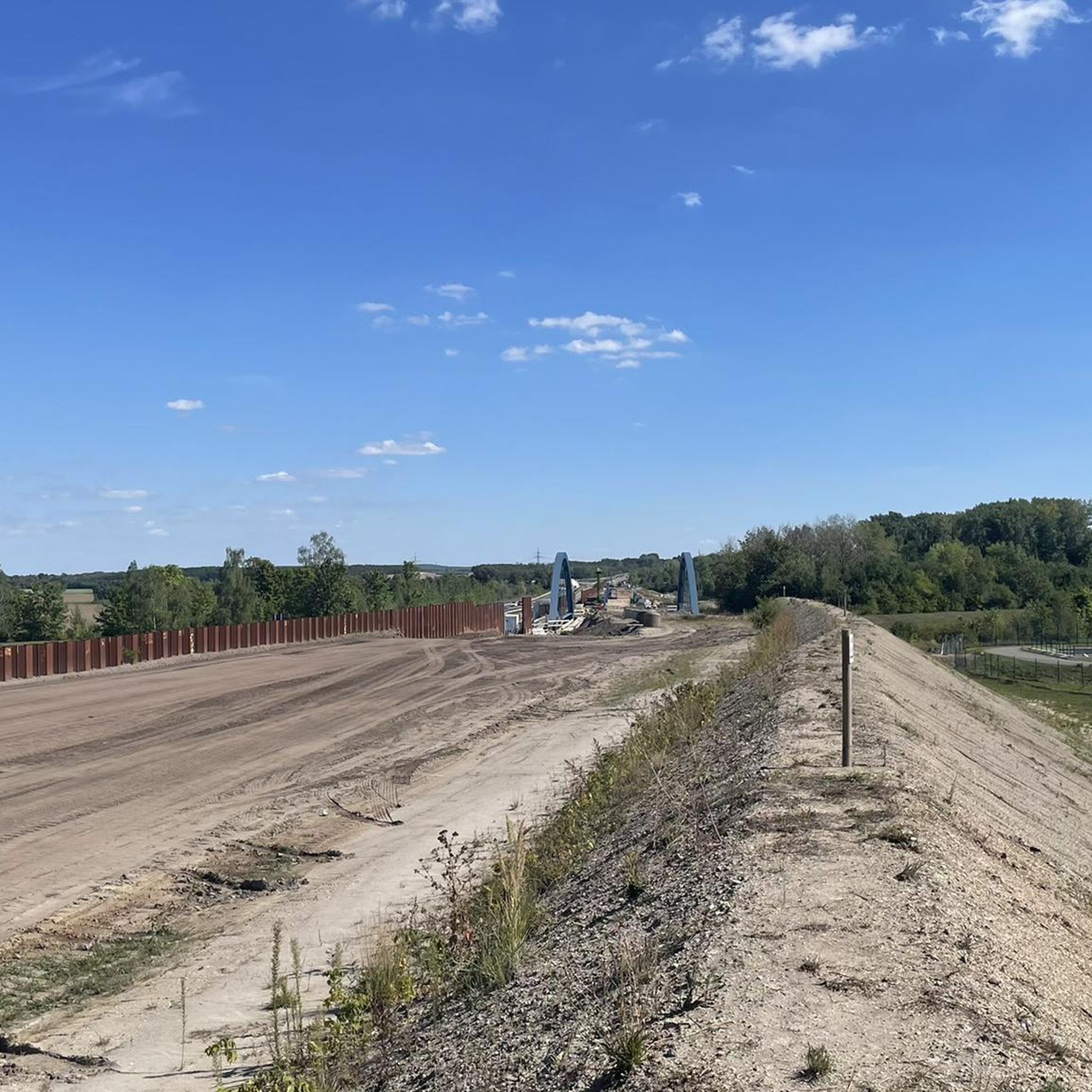
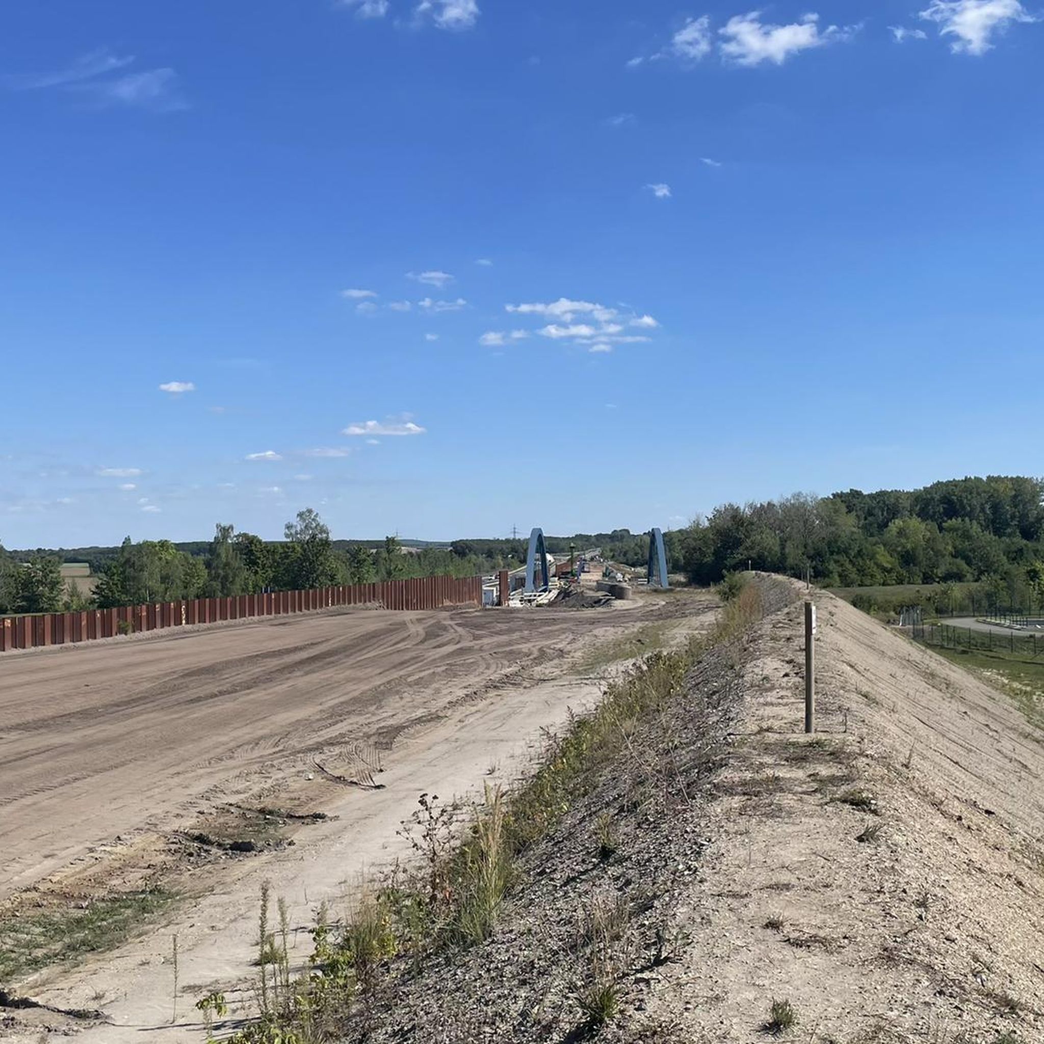
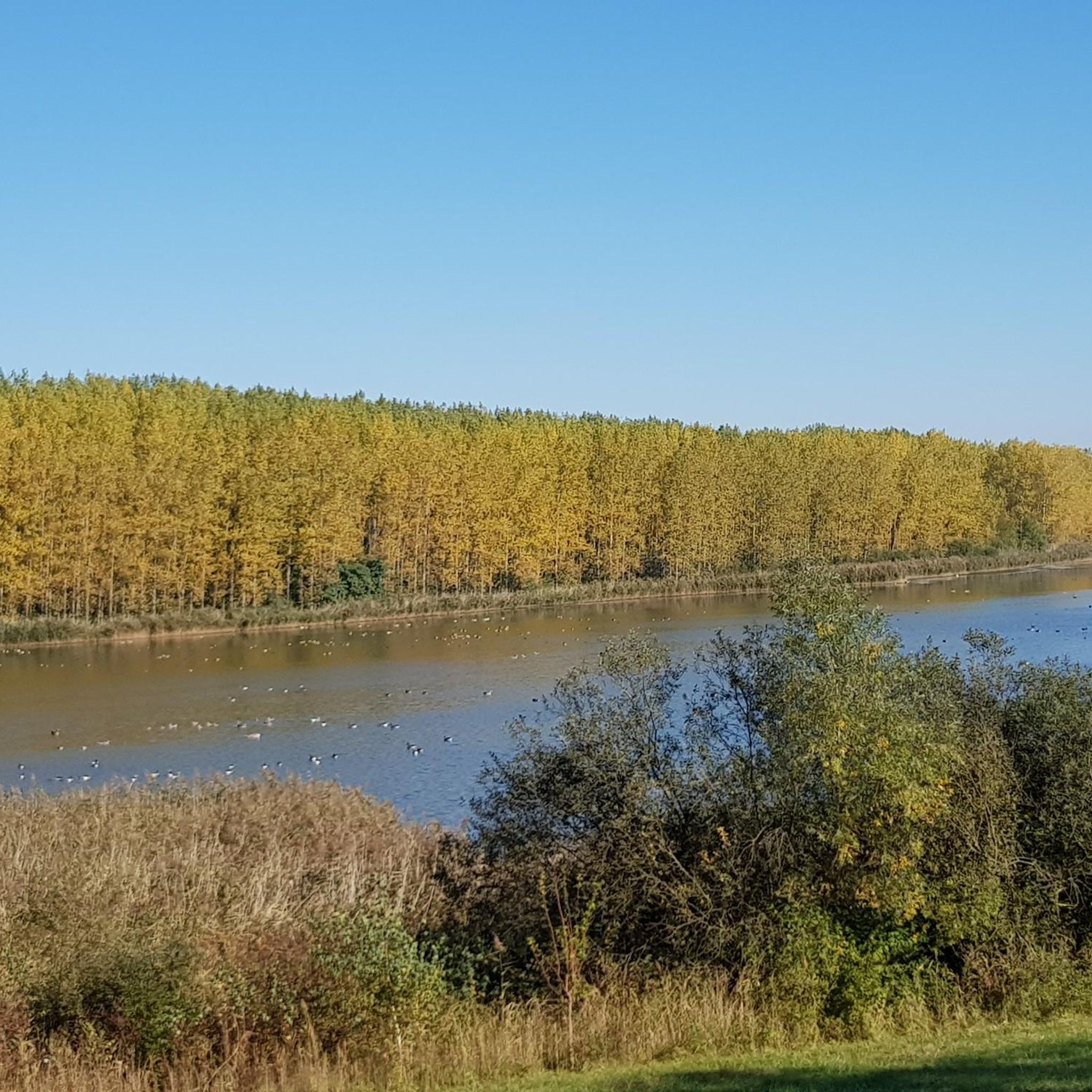
Hiking in Rückhaltebecken Stöhna offers routes through a unique landscape shaped by its history as a former open-cast lignite mine. The region features a diverse wetland complex with reed beds and shallow water zones, alongside extensive grassland and adjacent agricultural areas. This reclaimed mining landscape functions primarily as a flood retention basin for the Pleiße river, providing varied terrain for outdoor activities.
Best hiking trails in Rückhaltebecken Stöhna
- The most popular hiking route is Apelstein 12 – Gaschwitz Line Signpost…
Last updated: July 10, 2026
5.0
(3)
17
hikers
7.09km
01:48
20m
20m
Easy hike. Great for any fitness level. Easily-accessible paths. Suitable for all skill levels.
5.0
(5)
12
hikers
3.01km
00:46
10m
10m
Easy hike. Great for any fitness level. Easily-accessible paths. Suitable for all skill levels.

Sign up for free
13
hikers
Easy hike. Great for any fitness level. Easily-accessible paths. Suitable for all skill levels.
4.5
(2)
4
hikers
13.7km
03:29
40m
40m
Moderate hike. Good fitness required. Easily-accessible paths. Suitable for all skill levels.
4.0
(1)
5
hikers
23.0km
05:50
50m
50m
Hard hike. Very good fitness required. Easily-accessible paths. Suitable for all skill levels.
Get access to more routes and recommendations from other explorers.
Sign up for free
Already have an account?
Our route recommendations are based on thousands of hikes, rides, and runs completed by other people on komoot.
Start today with a free account
Your next adventure awaits.
Login or Signup
Tips from the Community


really very interesting and informative
0
0
Churches are always worth a visit. They offer travelers a place to relax and rest.
0
0

Simply beautiful. Kayaking is also possible.
0
0
Always fun for kids. But there's a viewing point nearby.
1
0

Beautiful area on Lake Cospuden, with bishop's height, animal enclosure and the south bank 👍
1
0

Great view over Lake Cospuden.
2
0

Hiking rest area with toilet. If you start at the hiking car park, you can have a nice rest there after 10 km
0
0
Frequently Asked Questions
What kind of landscape can I expect when hiking in Rückhaltebecken Stöhna?
Rückhaltebecken Stöhna features a unique mining-reclamation landscape. It was formerly an open-cast lignite mine, now transformed into a diverse environment with a wetland complex, reed beds, shallow water zones, and extensive grassland. It functions primarily as a flood retention basin for the Pleiße river, offering varied terrain for hikers.
Are there many hiking trails available in Rückhaltebecken Stöhna?
Yes, komoot offers nearly 1000 hiking routes in Rückhaltebecken Stöhna. This includes a wide range of options, with over 650 easy trails, more than 240 moderate routes, and around 20 more challenging hikes, ensuring something for every fitness level.
What are the best trails for an easy walk suitable for families?
Many trails around Rückhaltebecken Stöhna are easily accessible and suitable for families. A great option is the St. Catherine's Church Großdeuben – Rest Area at the Weir loop from Rückhaltebecken Stöhna. This easy 3.0 km path offers pleasant views near the basin's permanent water areas and is typically completed in under an hour.
Can I bring my dog on the hiking trails?
Yes, many trails in the Rückhaltebecken Stöhna area are dog-friendly. The landscape of grassland and reclaimed areas provides ample space for walks. However, please be mindful that parts of the basin are designated nature and bird protection areas with restricted access, so always keep your dog on a leash and respect local signage.
Are there any circular walks in Rückhaltebecken Stöhna?
Absolutely, circular walks are very common in the region. For instance, the Reuters Cyclists' Inn Gaschwitz – Apelstein 12 loop from Großdeuben is a popular 5.8 km circular trail that takes you through the diverse reclaimed landscape. Another option is the Path Along the Pleiße – Apelstein 12 loop from Großdeuben, a 6.3 km loop.
What kind of wildlife can I expect to see, especially birds?
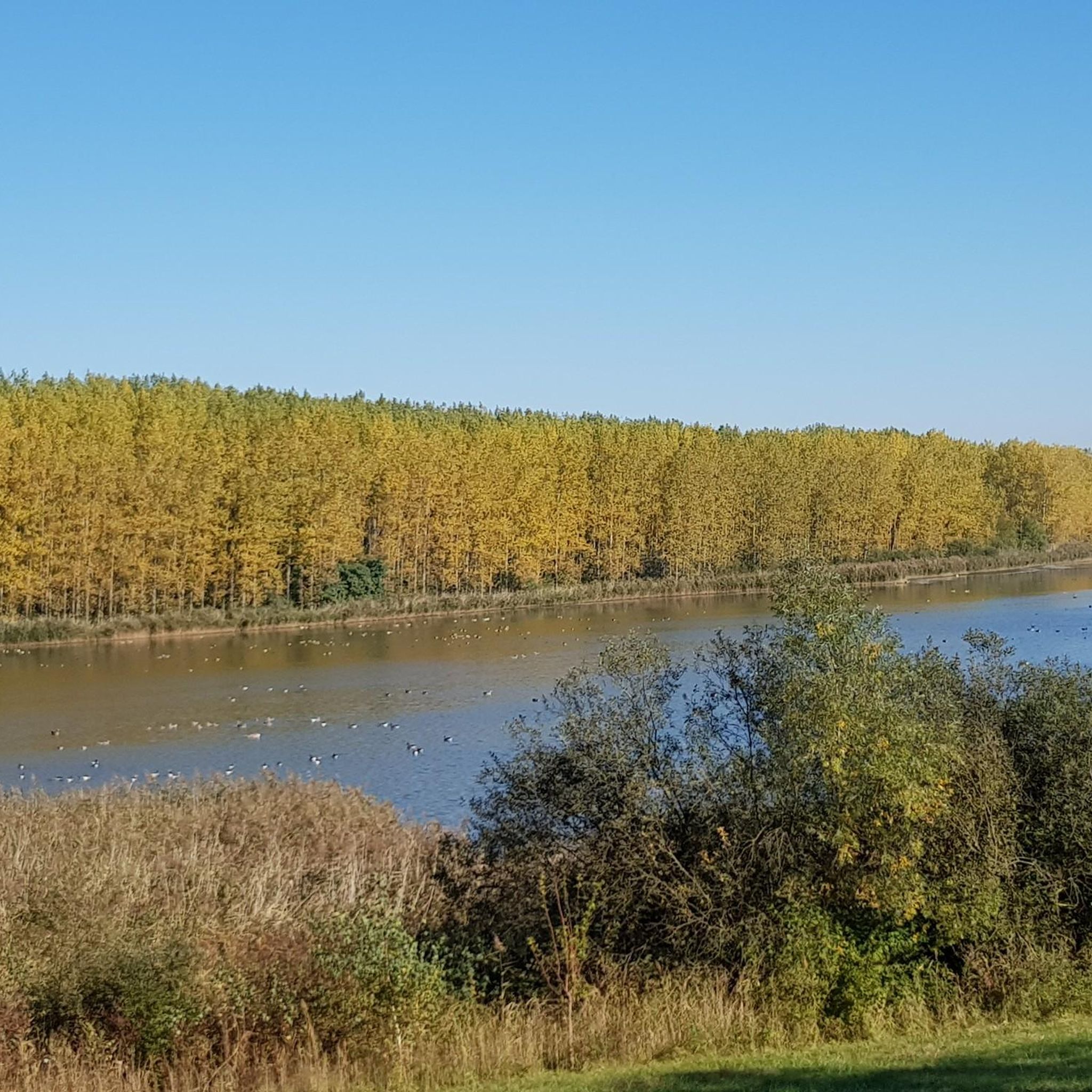
Rückhaltebecken Stöhna is a European bird protection area and a nature reserve, making it excellent for birdwatching. The wetland complex attracts a diverse array of species, including garganey, northern shoveler, red-crested pochard, white-tailed eagle, and various reed warblers. While direct entry into the core reserve is restricted, designated spots around the basin offer great viewing opportunities, though a telescope is recommended.
What is the best time of year to go hiking in Rückhaltebecken Stöhna?
The area is enjoyable year-round. Spring and autumn offer pleasant temperatures and vibrant natural colors, ideal for birdwatching as migratory birds pass through. Summer is great for longer days, while winter can provide a unique, tranquil experience of the 'green basin' landscape, which is typically not flooded.
Are there any viewpoints or interesting sights along the trails?
The unique landscape itself, with its blend of reclaimed mining areas, wetlands, and grasslands, offers many scenic views. While the core of the basin is restricted, designated spots around the perimeter provide excellent vantage points for observing the rich birdlife and the expansive natural environment. Some longer routes, like the View of Cospudener Lake – Lake Zwenkau loop from Großdeuben, extend to nearby lakes, offering additional panoramic views.
How can I get to Rückhaltebecken Stöhna using public transport?
The region around Rückhaltebecken Stöhna is accessible via public transport, particularly from nearby towns like Großdeuben. It's advisable to check local bus and train schedules to plan your journey to trailheads, as specific routes may vary in their proximity to public transport stops.
Is there parking available for hikers?
Yes, parking is generally available at various starting points for hikes around Rückhaltebecken Stöhna, especially in and around nearby villages like Großdeuben. Look for designated parking areas near popular trailheads or local amenities.
What do other hikers enjoy most about hiking in Rückhaltebecken Stöhna?
The area is highly rated by the komoot community, with an average score of 4.6 stars from over 7,000 reviews. Hikers often praise the unique, peaceful landscape, the diverse birdlife, and the variety of accessible paths suitable for all skill levels. Many appreciate the transformation of the former mining area into a rich natural habitat.
Most popular routes in Rückhaltebecken Stöhna

Get inspired with the komoot mobile app


Explore more
Browse the best Hikes in other regions.
