The best road cycling routes in Landschaftsschutzgebiet Römertal
4.6
(511)
5,551
riders
392
rides
Road cycling routes in Landschaftsschutzgebiet Römertal traverse a diverse landscape characterized by riverine floodplains, sloping forests, and varied grassland communities. The region features a mix of gentle rolling terrain along stream valleys and more challenging hilly sections. Elevations contribute to a varied cycling experience, with the highest point, Burgberg, reaching 402 meters. This conservation area is part of the European Natura 2000 network, highlighting its ecological significance.
Best road cycling routes in Landschaftsschutzgebiet Römertal
- The most popular road cycling route…
Last updated: July 10, 2026
4.8
(5)
51
riders
62.7km
02:40
430m
430m
Moderate road ride. Good fitness required. Mostly well-paved surfaces and easy to ride.
3.0
(3)
51
riders
Moderate road ride. Good fitness required. Some segments of this route may be unpaved and difficult to ride.

Sign up for free
4.0
(2)
22
riders
50.1km
02:10
430m
430m
Moderate road ride. Good fitness required. Mostly well-paved surfaces and easy to ride.
17
riders
60.1km
02:33
440m
440m
Moderate road ride. Good fitness required. Mostly well-paved surfaces and easy to ride.
5.0
(4)
12
riders
23.1km
01:01
240m
240m
Easy road ride. Great for any fitness level. Mostly well-paved surfaces and easy to ride.
Get access to more routes and recommendations from other explorers.
Sign up for free
Already have an account?
Our route recommendations are based on thousands of hikes, rides, and runs completed by other people on komoot.
Start today with a free account
Your next adventure awaits.
Login or Signup

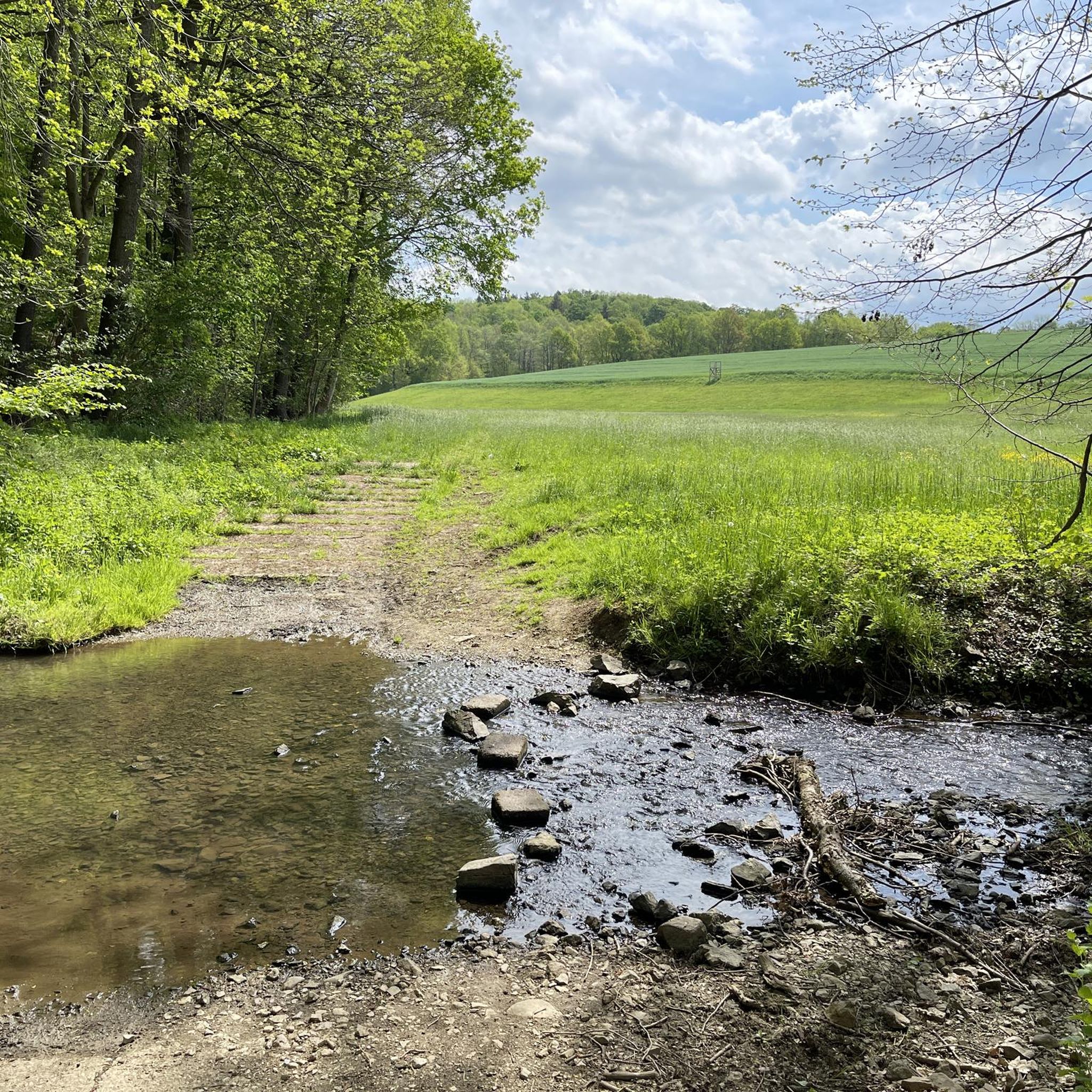
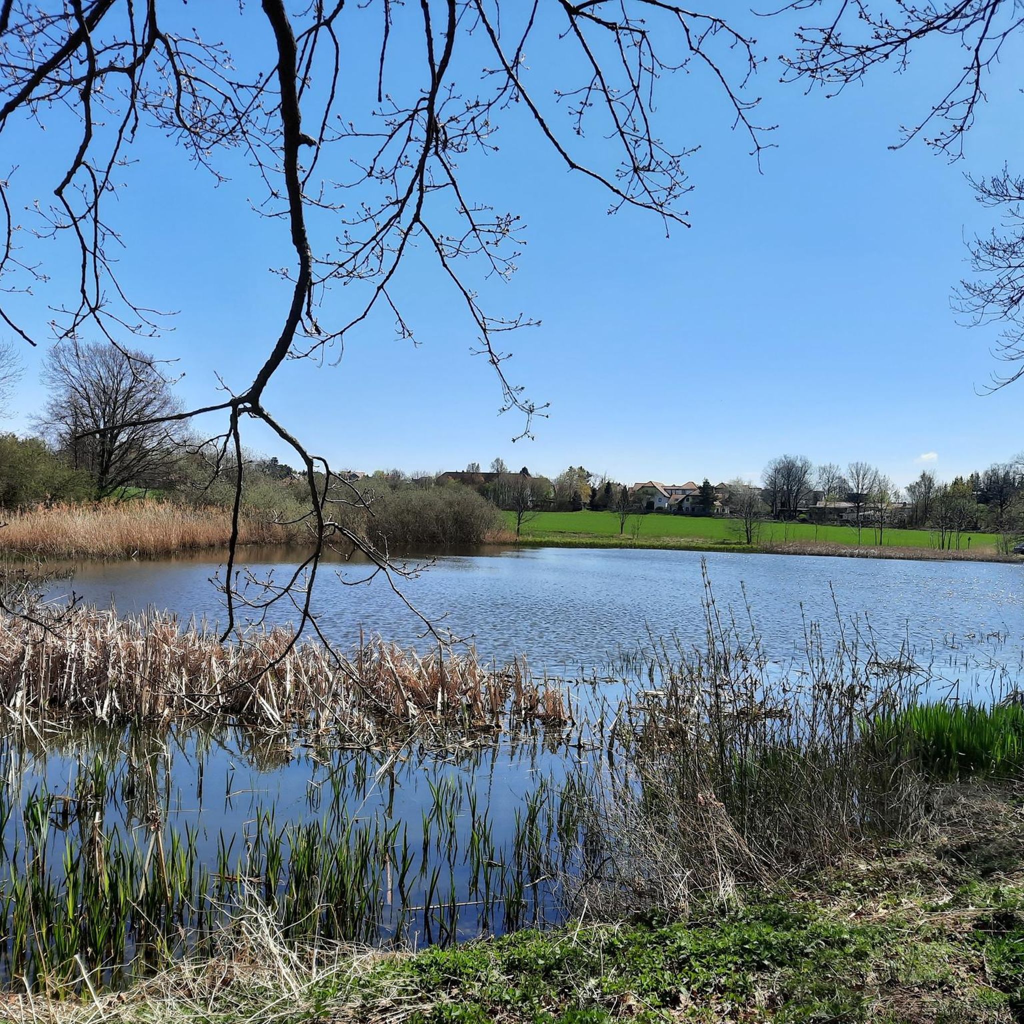
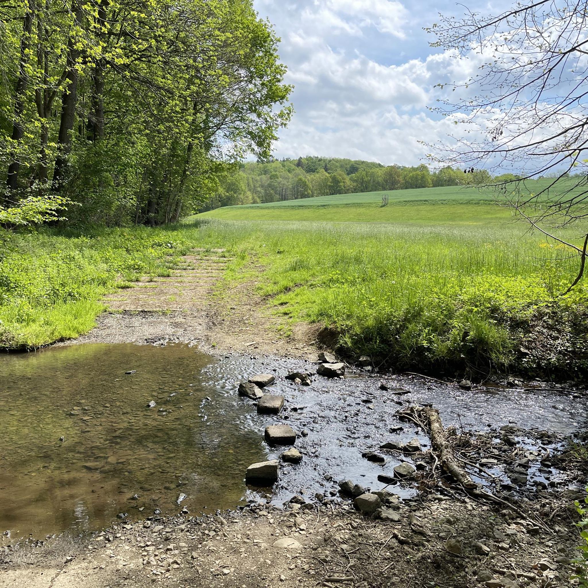
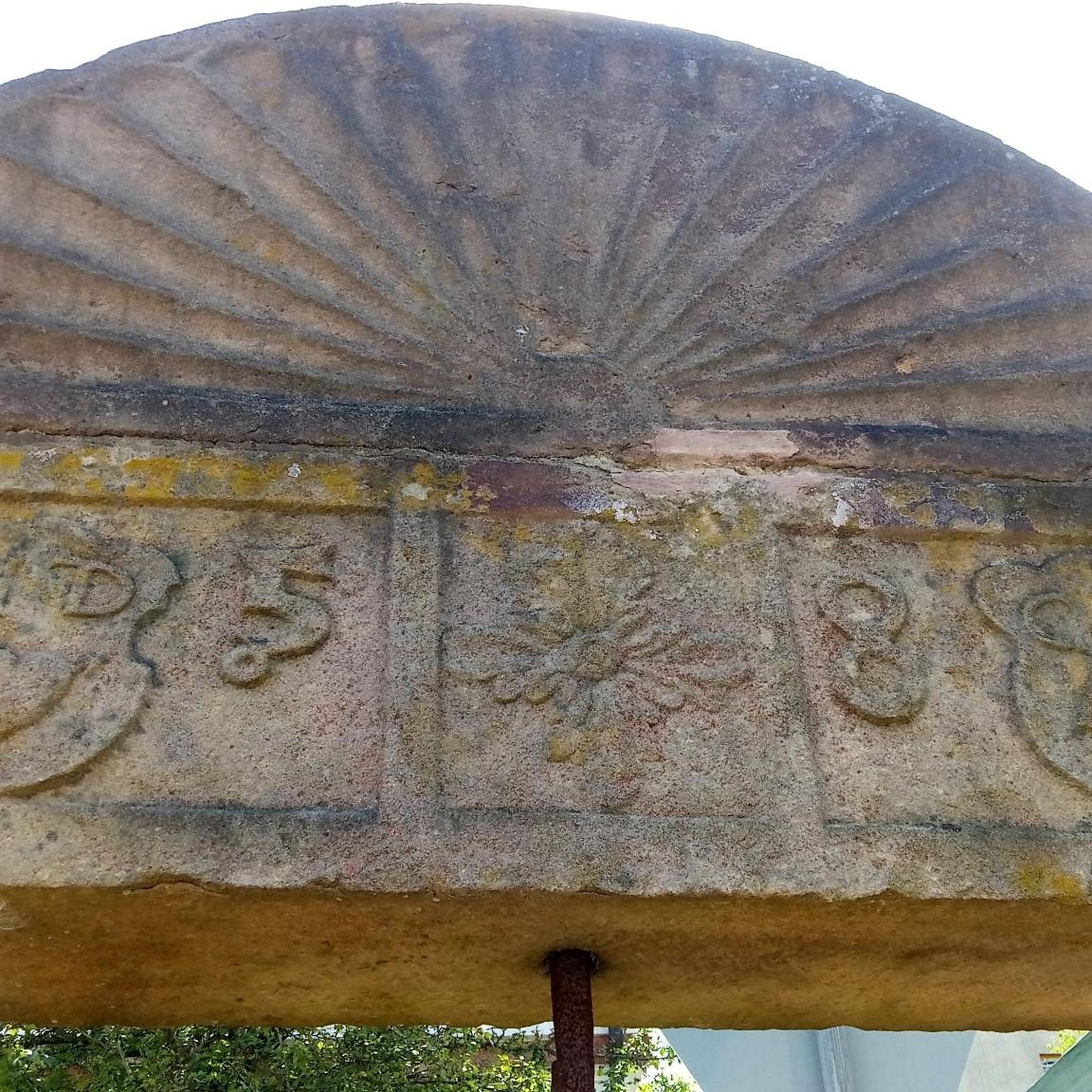
Tips from the Community

Beautiful tour through the Werdauer Wald with a relaxing destination, the Koberbachtalsperre.
0
0

Very beautiful castle, but the German Agricultural Museum is also super interesting. In various places in the town, you can visit the knight's estate, the farmstead, the bakery, etc. with interiors and be transported to the era.
12
0


Every now and then there is good church music here.
0
0

Small, fine dam, originally built to supply process water to the former textile factories downstream of the Pleisse.
0
0
A well-maintained tower hut with a view of the Ore Mountains, weather permitting. Accessible by bike or car. Parking is available across the street on the dirt road.
0
0

Nice inn. Opening hours can be found here: https://gemeinde-ponitz.de/tourismus-freizeit/gastronomie/
1
1

Beautiful street along the lake - in winter the pub is closed ;)
0
0
Frequently Asked Questions
How many road cycling routes are available in Landschaftsschutzgebiet Römertal?
There are over 400 road cycling routes in Landschaftsschutzgebiet Römertal, catering to various skill levels. This includes 61 easy routes, 298 moderate routes, and 60 difficult routes, ensuring options for every cyclist.
What kind of terrain can I expect on road cycling routes in Landschaftsschutzgebiet Römertal?
The region offers a diverse landscape for road cycling. You'll find gentle rolling terrain along riverine floodplains, particularly around the Neumarker and Schönfelser Baches, alongside more challenging hilly sections. The highest point, Burgberg, reaches 402 meters, contributing to varied elevation profiles.
Are there easy road cycling routes suitable for beginners in the Römertal region?
Yes, Landschaftsschutzgebiet Römertal offers 61 easy road cycling routes. An excellent option for beginners is the Pleiße Spring – View of the Ore Mountains loop from Schönfels, which is 23.1 km long with a manageable elevation gain of 240 meters.
What are some notable landmarks or attractions I can see while road cycling in Landschaftsschutzgebiet Römertal?
Road cyclists can explore several interesting landmarks. You might pass by the impressive Römertal Viaduct, a historical railway bridge, or the picturesque Schönfels Castle. The Rußbuttensteig, a historical trail, also runs through the area, offering a glimpse into the region's past.
Are there any circular road cycling routes in Landschaftsschutzgebiet Römertal?
Yes, many routes in the region are designed as loops. For example, the Koberbach Dam – Turmhütte Observation Tower loop from Steinpleis is a popular circular route, offering scenic views and a moderate challenge.
What do other road cyclists enjoy most about road cycling in Landschaftsschutzgebiet Römertal?
The area is highly rated by the komoot community, with an average score of 4.7 stars from over 450 reviews. Cyclists often praise the diverse landscapes, including riverine floodplains and sloping forests, as well as the well-maintained paths and the opportunity to discover historical landmarks like Schönfels Castle.
Can I find routes that pass by the Koberbach Dam?
Absolutely. The Koberbach Dam is a prominent feature in the region. You can cycle the Weidmannsruh Inn – Koberbach Dam loop from Steinpleis, a moderate 59.9 km route, or the Koberbach Dam – Beiersdorf Church loop from Steinpleis, which is 50.5 km long.
Are there any routes that feature historical buildings or castles?
Yes, the region is rich in history. The Ponitz Renaissance Castle – Half-Timbered House in Gosel loop from Steinpleis is a moderate route that specifically highlights historical landmarks, including a Renaissance castle and a traditional half-timbered house.
What is the best time of year to go road cycling in Landschaftsschutzgebiet Römertal?
The spring months are particularly beautiful for cycling in Landschaftsschutzgebiet Römertal. The southern slopes of the Schönfelser Bach are known for their abundance of spring bloomers, such as liverworts, cowslips, and wood anemones, making for a vibrant and scenic ride.
Are there any viewpoints along the road cycling routes?
Yes, some routes offer opportunities for scenic views. The Koberbach Dam – Turmhütte Observation Tower loop from Steinpleis specifically leads to an observation tower, providing panoramic vistas of the surrounding landscape.
What kind of natural features can I observe while cycling in the Römertal Conservation Area?
The conservation area is part of the European Natura 2000 network, protecting diverse natural features. You'll cycle through scenic riverine floodplains, past sloping forests, and alongside varied grassland communities. Keep an eye out for ancient oak trees near the Zwirn Pond and the rich flora, especially during spring.
Most popular routes in Landschaftsschutzgebiet Römertal
Most popular attractions in Landschaftsschutzgebiet Römertal

Get inspired with the komoot mobile app


Explore more
Browse the best Road cycling routes in other regions.
