The best running trails in Jägersruh-Gemäßgrund-Mulschwitzen
4.5
(224)
3,327
runners
259
runs
Jogging in Jägersruh-Gemäßgrund-Mulschwitzen offers diverse routes within a nature reserve spanning approximately 13.482 square kilometers. The region is characterized by significant water bodies, including the Rodach river and the Fränkische Muschwitz and Thüringische Muschwitz rivers. Extensive forests and features like the "Schwarzer Teich" (Black Pond) provide varied terrain and scenic backdrops for running. This combination of rivers, ponds, and forested landscapes makes Jägersruh-Gemäßgrund-Mulschwitzen an appealing location for outdoor activities.
Best jogging routes in Jägersruh-Gemäßgrund-Mulschwitzen
- The most popular jogging route is Titschendorf Fire Pond Outlet – Mareile at the Rennsteig Snack Bar loop from Nordhalben, a 5.7 miles (9.2 km) trail that takes about 1 hour to complete, traversing forested areas and passing by water features.
- Another top favourite among local runners is Shelter at Kahlenberg – Kirchhügel (688 m) loop from Kulm, a moderate 3.5 miles (5.7 km) path. This route includes a climb to Kirchhügel, offering varied elevation.
- Local runners also love the Shelter at Kahlenberg – Wasserlöcher Picnic Area loop from Schlegel bei Lobenstein, a 5.7 miles (9.2 km) trail leading through forested landscapes, often completed in about 1 hour.
- Jogging in Jägersruh-Gemäßgrund-Mulschwitzen is defined by its rivers, ponds, and dense woodlands. The network offers options for different ability levels, from easy paths to more challenging routes.
- The routes in Jägersruh-Gemäßgrund-Mulschwitzen are highly rated by the komoot community with an average score of 4.6 stars from over 220 reviews. More than 3000 runners have used komoot to explore Jägersruh-Gemäßgrund-Mulschwitzen's varied terrain.
Last updated: July 10, 2026
2
runners
9.26km
00:59
150m
140m
Moderate run. Good fitness required. Mostly paved surfaces. Suitable for all skill levels.
7
runners
5.68km
00:35
40m
40m
Moderate run. Good fitness required. Mostly paved surfaces. Suitable for all skill levels.

Sign up for free
5.0
(1)
4
runners
Moderate run. Good fitness required. Mostly paved surfaces. Suitable for all skill levels.
2
runners
11.6km
01:14
150m
160m
Moderate run. Good fitness required. Mostly paved surfaces. Suitable for all skill levels.
67
runners
32.8km
03:46
540m
540m
Hard run. Very good fitness required. Mostly paved surfaces. Suitable for all skill levels.
Get access to more routes and recommendations from other explorers.
Sign up for free
Already have an account?
Our route recommendations are based on thousands of hikes, rides, and runs completed by other people on komoot.
Start today with a free account
Your next adventure awaits.
Login or Signup
Tips from the Community

Information boards are also available.
0
0

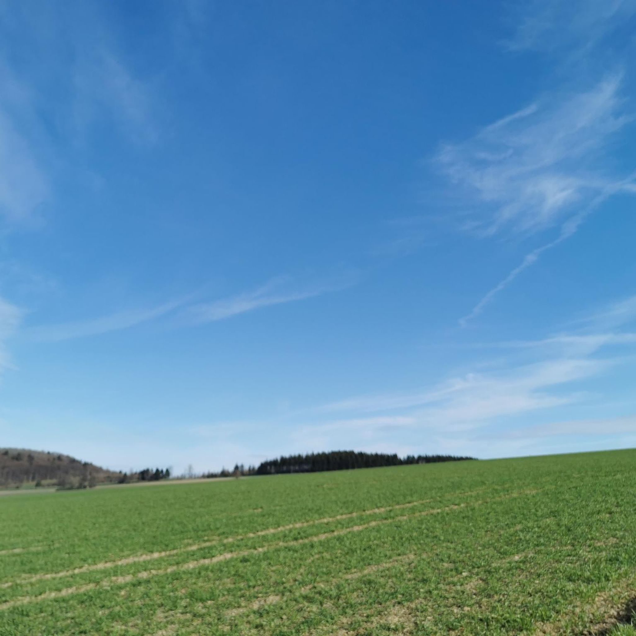
It's just incredibly beautiful here 😊.
0
0
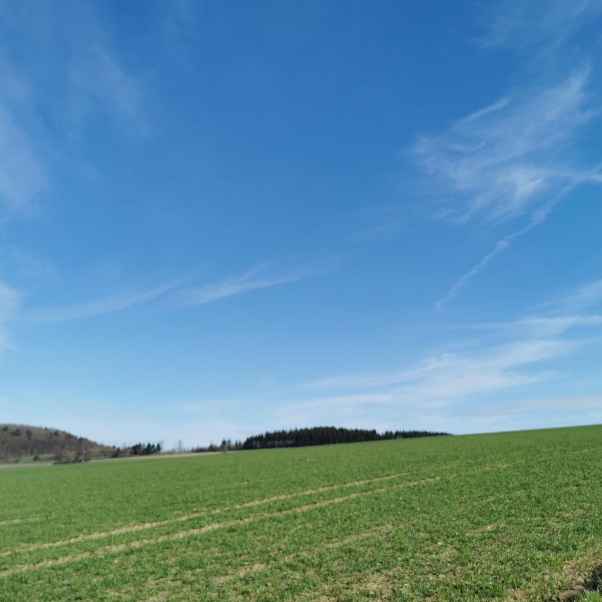
It's just incredibly beautiful here 😊.
0
0
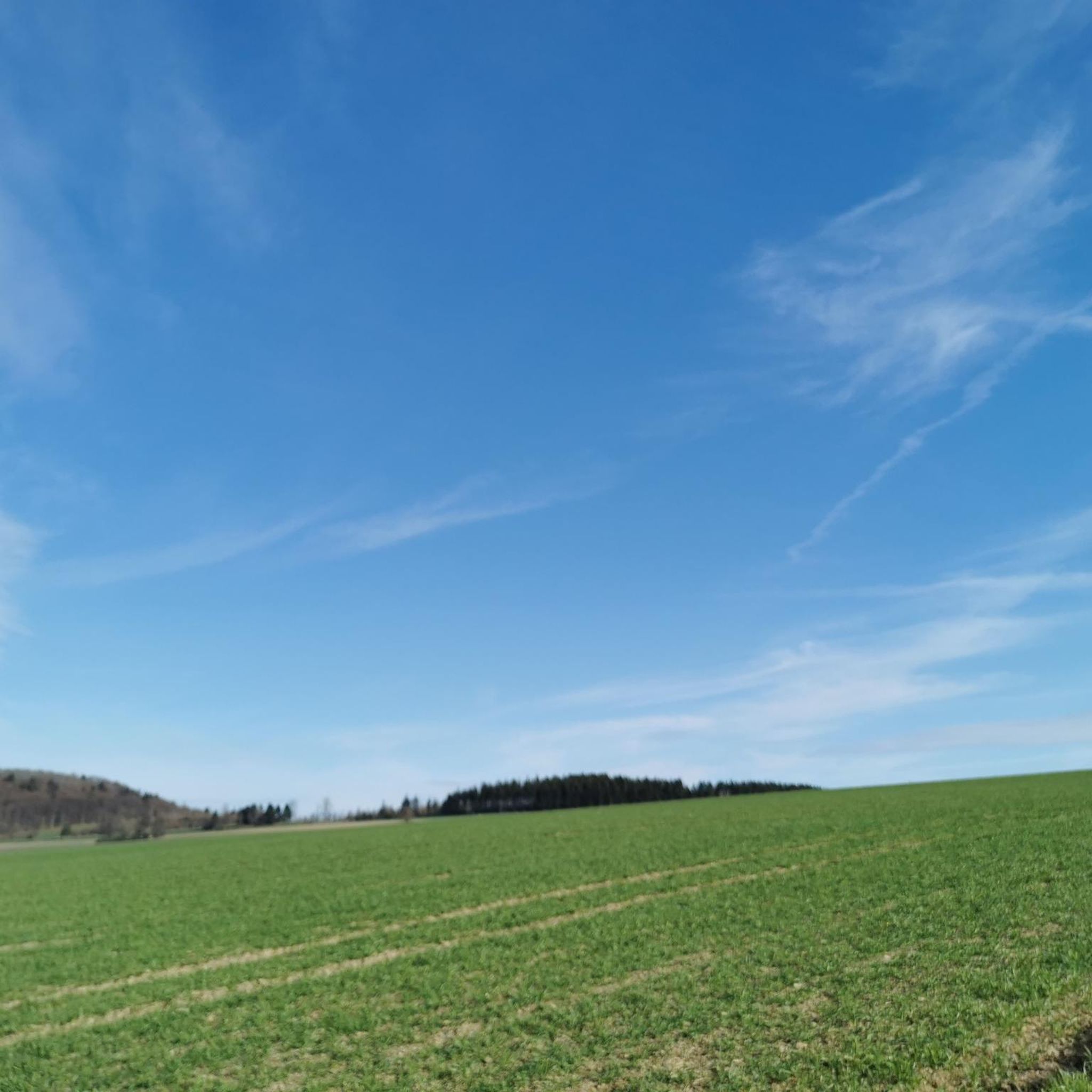
It's just incredibly beautiful here 😊.
0
0

Guesthouse “Zum Echo” (also suitable for groups)
0
0

Even the strongest hiker needs a break sometimes 😉
1
0

...very cozy, inviting...
0
0
Frequently Asked Questions
How many running routes are available in Jägersruh-Gemäßgrund-Mulschwitzen?
There are over 260 diverse running routes in Jägersruh-Gemäßgrund-Mulschwitzen, catering to various fitness levels. You'll find a good mix of easy, moderate, and challenging paths to explore.
What kind of terrain can I expect on the running trails in Jägersruh-Gemäßgrund-Mulschwitzen?
The terrain in Jägersruh-Gemäßgrund-Mulschwitzen is quite varied, featuring extensive forests, significant water bodies like the Rodach river, and picturesque ponds such as the "Schwarzer Teich". You can expect a mix of shaded forest paths and trails alongside rivers, offering both flat sections and some varied elevation, particularly on moderate routes like the Shelter at Kahlenberg – Kirchhügel (688 m) loop from Kulm.
Are there family-friendly running paths in Jägersruh-Gemäßgrund-Mulschwitzen?
Yes, Jägersruh-Gemäßgrund-Mulschwitzen offers a selection of easier running paths suitable for families. With over 30 easy routes, you can find gentle trails that are enjoyable for all ages, often winding through the scenic forests and along water features.
Can I bring my dog on the running trails in Jägersruh-Gemäßgrund-Mulschwitzen?
Generally, dogs are welcome on the running trails in Jägersruh-Gemäßgrund-Mulschwitzen, especially given its nature reserve status. However, it's always recommended to keep your dog on a leash to protect wildlife and ensure a pleasant experience for all trail users. The forested and riverside paths provide a great environment for you and your canine companion.
What natural features or landmarks can I see while running in Jägersruh-Gemäßgrund-Mulschwitzen?
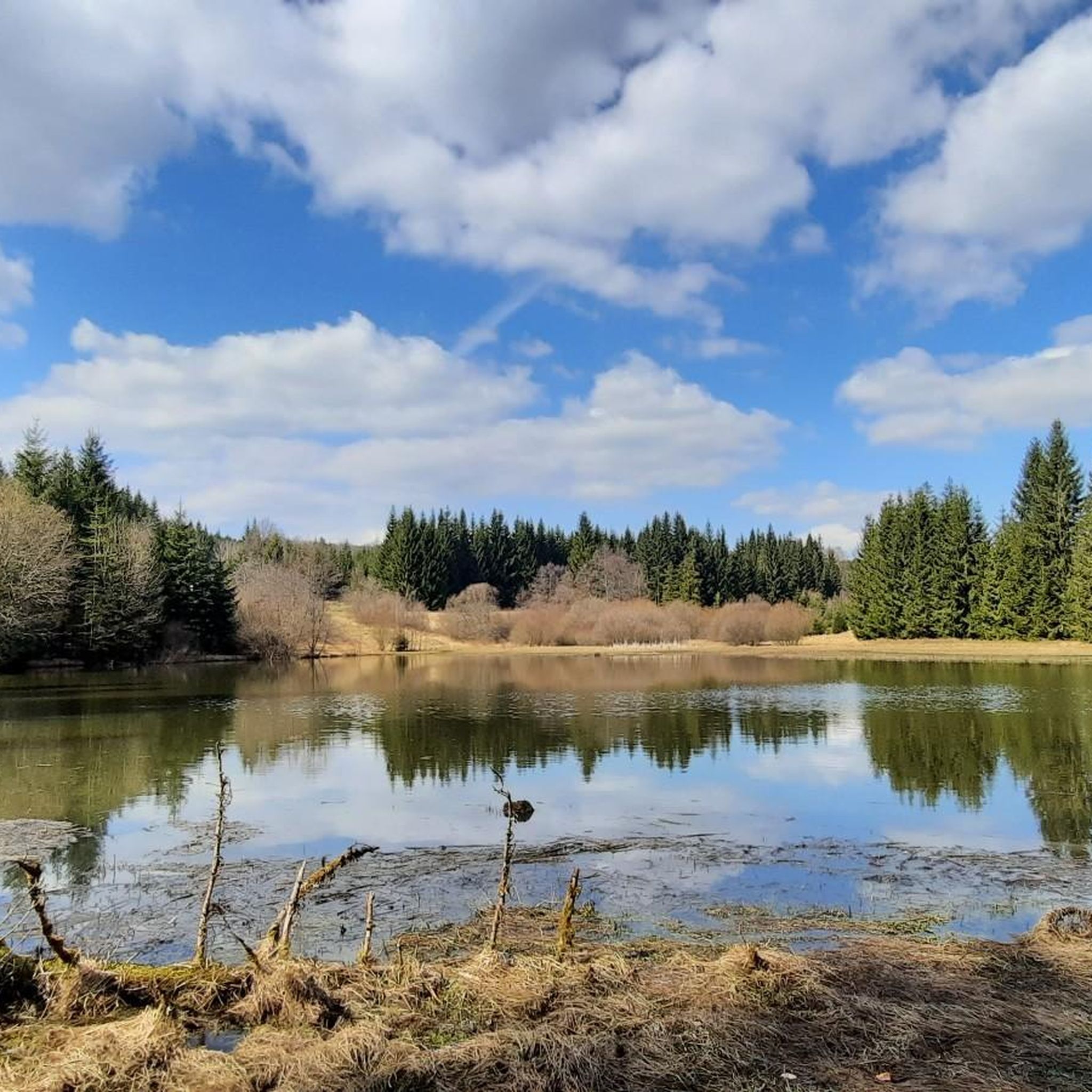
While running, you can encounter several notable natural features and landmarks. A highlight is the Black Pond (Schwarzer Teich), where the Fränkische Muschwitz passes through and marks the Bavarian-Thuringian border. You'll also find various shelters, such as the Shelter on the Horse Trail, nestled within the extensive forests, and the Source of the Thuringian Muschwitz.
Are there many circular running routes in the area?
Yes, many of the running routes in Jägersruh-Gemäßgrund-Mulschwitzen are designed as circular paths, allowing you to start and finish at the same point. For instance, the popular Titschendorf Fire Pond Outlet – Mareile at the Rennsteig Snack Bar loop from Nordhalben is a great example of a scenic loop trail.
Where can I park when visiting the running trails?
While specific designated parking areas for each trailhead are not detailed, the region is well-known for outdoor activities, suggesting that parking options are available near popular access points. It's advisable to check the starting points of individual routes on komoot for more precise parking information.
What do other runners enjoy the most about jogging in Jägersruh-Gemäßgrund-Mulschwitzen?
The running routes in Jägersruh-Gemäßgrund-Mulschwitzen are highly rated by the komoot community, with an average score of 4.6 stars from over 220 reviews. Runners frequently praise the diverse landscapes, the tranquility of the forests, and the scenic beauty of the rivers and ponds, making it an appealing destination for outdoor activities.
Are there any longer distance running trails for experienced runners?
Yes, for experienced runners seeking a challenge, there are longer distance trails available. An example is the Memorial stone – At Kulmberg Shelter loop from Grumbach, which is a difficult route spanning over 32 kilometers, offering significant elevation changes and a demanding experience.
What is the best time of year for running in Jägersruh-Gemäßgrund-Mulschwitzen?
Jägersruh-Gemäßgrund-Mulschwitzen offers a beautiful environment for running throughout much of the year. Spring and autumn provide pleasant temperatures and vibrant scenery, while the extensive forests offer welcome shade during warmer summer months. Winter running can also be picturesque, though conditions may vary with snow and ice.
Are there any running routes that pass by places to eat or drink?
While specific cafes or pubs directly on every route are not listed, the region's popularity for excursions suggests that refreshment spots are available in nearby towns or villages. Some routes, like the Titschendorf Fire Pond Outlet – Mareile at the Rennsteig Snack Bar loop from Nordhalben, mention snack bars or shelters, indicating potential stops for a break.
How accessible is Jägersruh-Gemäßgrund-Mulschwitzen by public transport for runners?
Information on direct public transport access to specific trailheads is limited. However, as a recognized nature reserve in Thuringia, it's generally accessible, with nearby towns likely offering public transport connections. For detailed planning, it's recommended to check local transport schedules to reach the closest villages to your desired starting point.
Most popular routes in Jägersruh-Gemäßgrund-Mulschwitzen
Most popular attractions in Jägersruh-Gemäßgrund-Mulschwitzen

Get inspired with the komoot mobile app


Explore more
Browse the best Running Trails & Routes in other regions.
