The best road cycling routes in Hermannsdorfer Wiesen
4.6
(225)
3,000
riders
160
rides
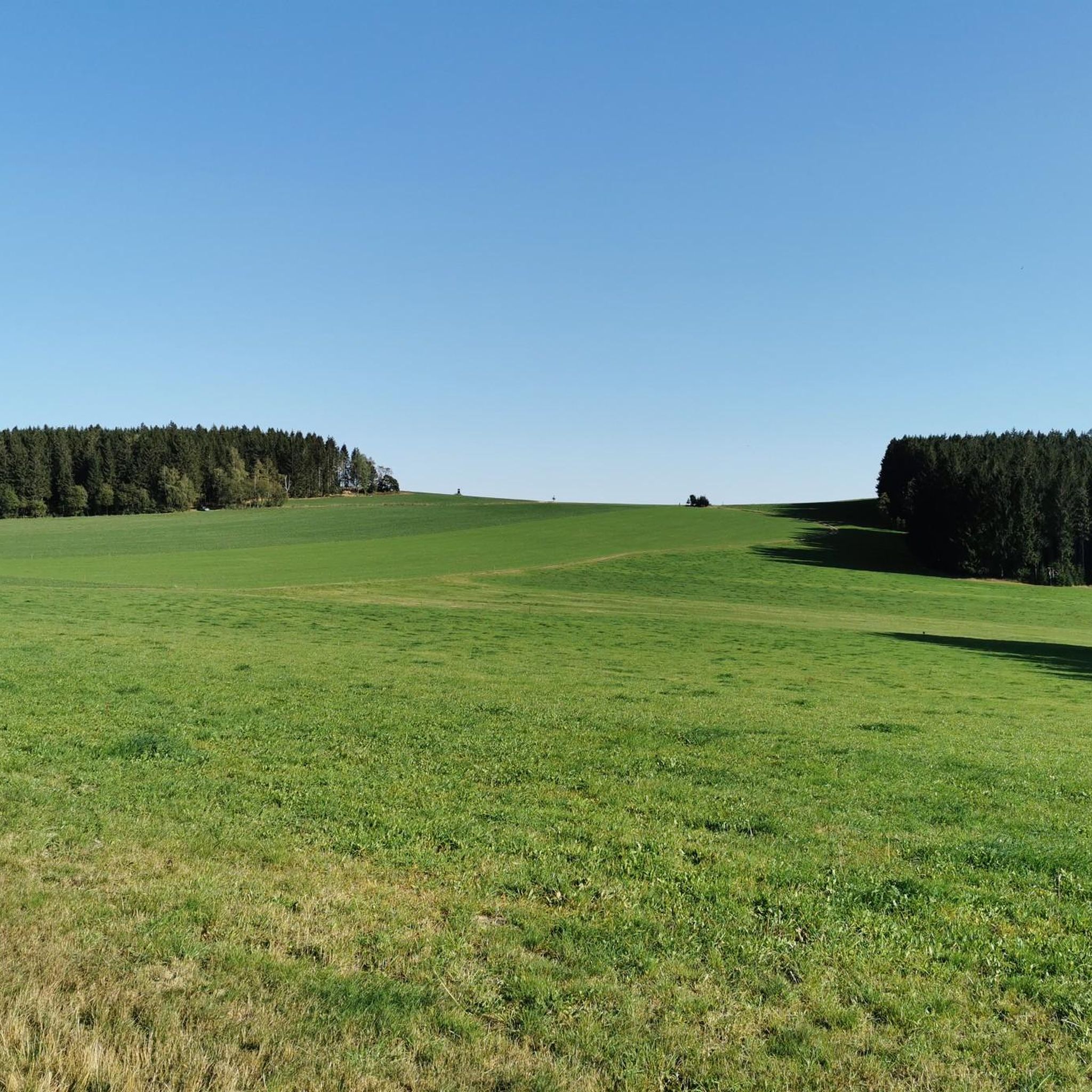
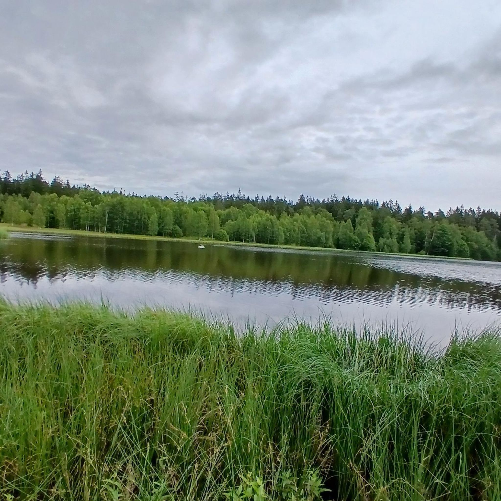
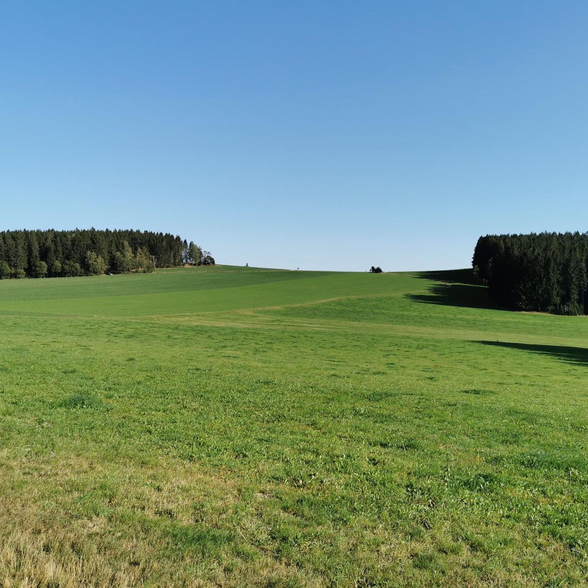
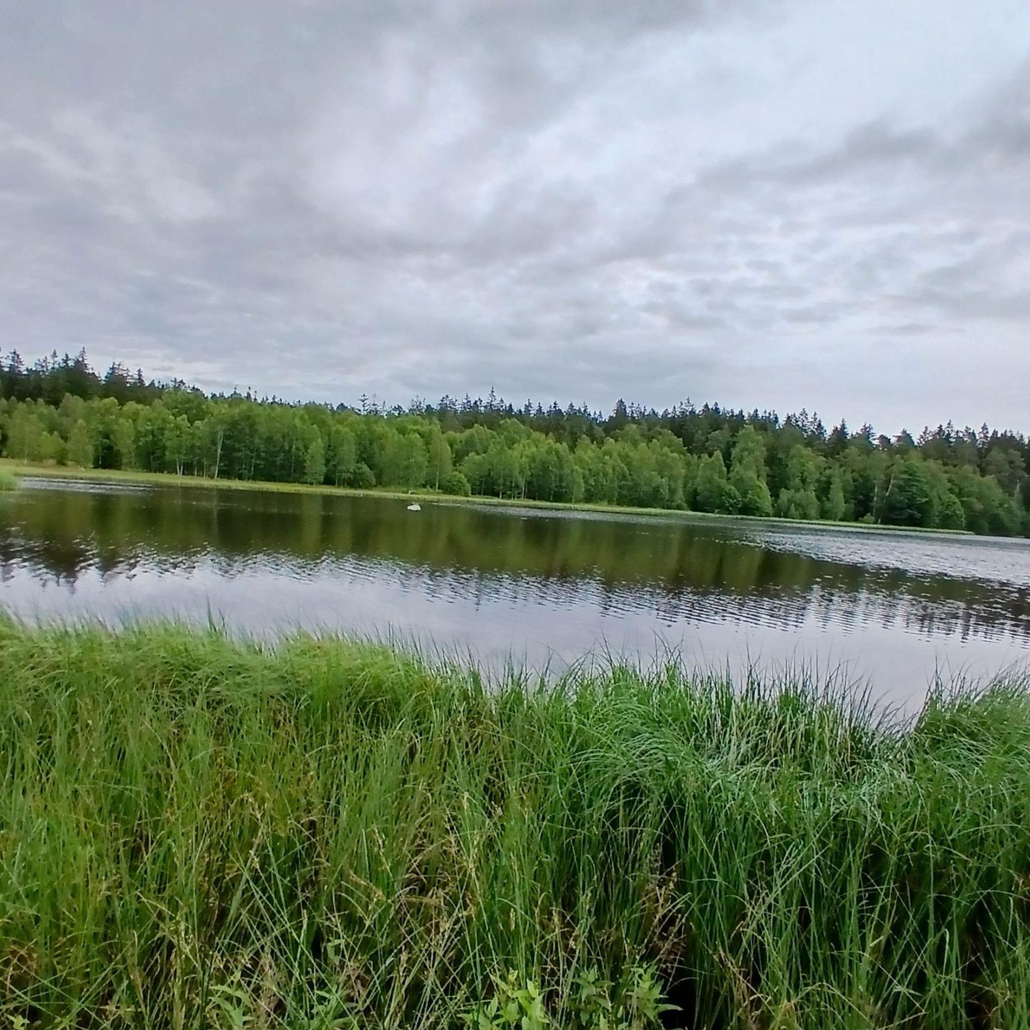
Road cycling in Hermannsdorfer Wiesen offers diverse landscapes within the protected nature reserve of the Ore Mountains. The region is characterized by wetlands, marshes, damp meadows, and mountain meadows, interspersed with spruce forests and moors. Situated at an elevation of about 650 meters above sea level, the area features a broad valley surrounded by forests, particularly on the southern edge of the Geyer Forest. These varied biotopes provide a range of terrain for road cyclists.
Best road cycling routes in…
Last updated: August 24, 2026
5.0
(1)
25
riders
64.0km
03:10
1,000m
1,000m
Hard road ride. Very good fitness required. Mostly well-paved surfaces and easy to ride.
5.0
(1)
42
riders
44.3km
02:06
610m
610m
Moderate road ride. Good fitness required. Mostly well-paved surfaces and easy to ride.

Sign up for free
4.0
(1)
25
riders
29.0km
01:21
320m
320m
Moderate road ride. Good fitness required. Some segments of this route may be unpaved and difficult to ride.
1.0
(1)
6
riders
16.4km
00:58
220m
220m
Easy road ride. Great for any fitness level. Mostly well-paved surfaces and easy to ride.
5.0
(1)
15
riders
29.7km
01:22
370m
370m
Moderate road ride. Good fitness required. Mostly well-paved surfaces and easy to ride.
Get access to more routes and recommendations from other explorers.
Sign up for free
Already have an account?
Our route recommendations are based on thousands of hikes, rides, and runs completed by other people on komoot.
Start today with a free account
Your next adventure awaits.
Login or Signup
Tips from the Community

Beautiful place, where not only a milestone but also an ice cream parlor invites you to linger.
0
0

In 1481, St. Laurentiuskirche in Elterlein was consecrated by the Bishop of Naumburg, who was responsible for the region. In 1891, the current 57 m high tower on the south side was consecrated, replacing the old, dilapidated former tower on the northwest side. The church's furnishings include an organ by Fa. Eule / Bautzen (opus 95), four bronze bells cast by Grassmayr in Innsbruck, the baptismal font dating from the Baroque period, the pulpit, and the altar. Remains of a former Gothic altar are currently undergoing restoration. From the tower gallery, there is a magnificent view of the mountain landscape of Kammlandschaft. https://www.elterlein.net/stadtleben/kirchen
0
0
First mentioned as an inn in 1581, making it one of the oldest inns in Saxony.
0
0

a very nice view
0
0

Hermannsdorfer Höhe - 650.5m/NN. With a view of the Scheibenberg and behind it the Fichtelberg.
0
0
Frequently Asked Questions
How many road cycling routes are available in Hermannsdorfer Wiesen?
Hermannsdorfer Wiesen offers a wide selection of road cycling routes, with over 170 options to explore. These routes cater to various fitness levels, from easy rides to more challenging ascents.
What are the typical difficulty levels for road cycling routes in Hermannsdorfer Wiesen?
The road cycling routes in Hermannsdorfer Wiesen range from easy to difficult. You'll find approximately 18 easy routes, over 100 moderate routes, and around 55 difficult routes, ensuring options for all experience levels.
Are there easy road cycling routes suitable for beginners or families?
Yes, Hermannsdorfer Wiesen has several easy road cycling routes perfect for beginners or families. An excellent option is the Trinity Church, Zwönitz – Zwönitz Market Square loop from Elterlein, which is a gentle 10.2-mile (16.5 km) path through local towns and surrounding areas.
What kind of landscapes can I expect while road cycling in Hermannsdorfer Wiesen?
You can expect diverse and scenic landscapes. The region is a protected nature reserve featuring wetlands, marshes, damp meadows, and mountain meadows, interspersed with spruce forests and moors. Routes often traverse broad valleys and offer magnificent views, such as those between Walthersdorf and Sehma overlooking the Pöhlberg.
What natural features or attractions can I see along the road cycling routes?
While cycling, you can encounter significant natural features like the Schwarzer Teich (Black Pond), a historical attraction, and the Moor at Schwarzen See. The area is a biodiversity hotspot with varied ecosystems, including different forest types and open moors.
Are there challenging routes for experienced road cyclists?
Absolutely. For experienced road cyclists seeking a challenge, there are approximately 55 difficult routes available. These often include unpaved segments and significant elevation gains, requiring good to very good fitness.
What is the average length of road bike trails in Hermannsdorfer Wiesen?
The lengths of road bike trails vary significantly. For example, easy routes like the Trinity Church, Zwönitz – Zwönitz Market Square loop from Elterlein are around 10 miles (16.5 km), while moderate options like the Between Dörfel and Schlettau – Zschopautal Cycle Path loop from Geyer can extend to nearly 27 miles (43 km).
Are there loop road bike trails in Hermannsdorfer Wiesen?
Yes, many road cycling routes in Hermannsdorfer Wiesen are designed as loops. Popular examples include the Between Dörfel and Schlettau – Zschopautal Cycle Path loop from Lohenbachtal and the Greifenbachstauweiher – Paukklausenturm loop from Geyer, offering convenient circular rides.
What do other road cyclists think about the routes in Hermannsdorfer Wiesen?
The road cycling routes in Hermannsdorfer Wiesen are highly regarded by the komoot community, holding an impressive average rating of 4.5 stars from over 200 reviews. Cyclists frequently praise the diverse terrain and scenic beauty of the region.
What is the best time of year for road biking in Hermannsdorfer Wiesen?
The region's diverse landscapes are enjoyable throughout the warmer months. While specific recommendations for winter conditions are not detailed, spring through autumn generally offers the most favorable weather for road cycling, allowing you to fully appreciate the wetlands, meadows, and forests.
Where can I find parking for road cycling routes in Hermannsdorfer Wiesen?
While specific parking locations are not detailed in the route descriptions, many routes originate from towns like Lohenbachtal, Elterlein, or Geyer. It is advisable to check local parking options in these starting points before your ride.
Are there cafes or places to stop for refreshments along the routes?
The routes often pass through or near local towns such as Zwönitz, which would offer opportunities for cafes and refreshments. While not explicitly listed for every route, planning your stops in these towns is recommended for breaks.
Most popular routes in Hermannsdorfer Wiesen

Get inspired with the komoot mobile app


Explore more
Browse the best Road cycling routes in other regions.
