The best walks and hikes in Naturpark Oberpfälzer Wald
4.6
(6693)
25,363
hikers
1,480
hikes
Hiking in Naturpark Oberpfälzer Wald offers diverse landscapes characterized by significant forest cover and picturesque river valleys, including the Ascha, Schwarzach, Pfreimd, and Naab. The region features serene lakes such as Murner See and Brückelsee, alongside wetlands and unique geological formations like basalt cones and the "Pfahl" quartz vein. Elevated viewpoints, with the highest point in the Schwandorf district reaching 898 meters, provide expansive views of the surrounding forests.
Best hiking trails in Naturpark Oberpfälzer Wald
- The most popular hiking…
Last updated: October 13, 2026
4.7
(361)
1,087
hikers
15.2km
04:01
130m
130m
Moderate hike. Good fitness required. Mostly accessible paths. Sure-footedness required.
4.7
(84)
265
hikers
10.1km
02:52
230m
220m
Moderate hike. Good fitness required. Easily-accessible paths. Suitable for all skill levels.

4.7
(684)
2,809
hikers
Moderate hike. Good fitness required. Mostly accessible paths. Sure-footedness required.
4.5
(39)
133
hikers
7.02km
01:57
130m
130m
Easy hike. Great for any fitness level. Easily-accessible paths. Suitable for all skill levels.
4.6
(18)
54
hikers
17.1km
04:38
250m
250m
Moderate hike. Good fitness required. Easily-accessible paths. Suitable for all skill levels.
Get access to more routes and recommendations from other explorers.
Already have an account?
Our route recommendations are based on thousands of hikes, rides, and runs completed by other people on komoot.
Start today with a free account
Your next adventure awaits.
Popular around Naturpark Oberpfälzer Wald
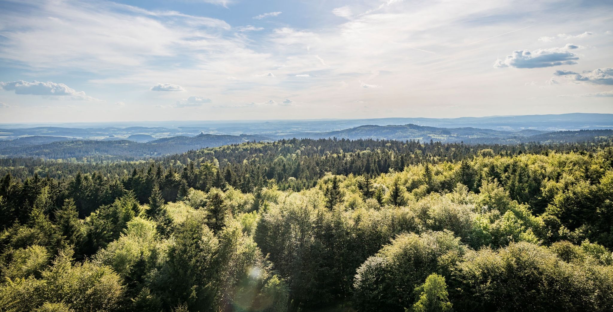
Nurtschweg – Hiking along the German-Czech border

The Goldsteig – 38 stages between Upper Palatinate and Passau

Goldsteig — The best routes for long distance hiking in Eastern Bavaria
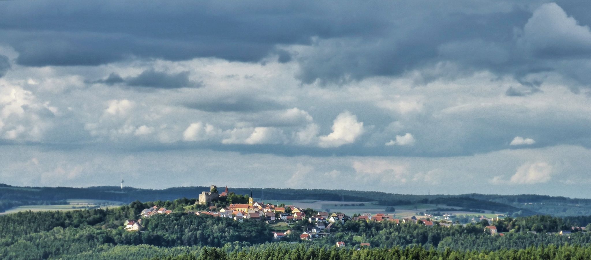
The Upper Palatinate Castle Trail — 9 days in picturesque northern Bavaria

The National Natural Landscapes in Bavaria
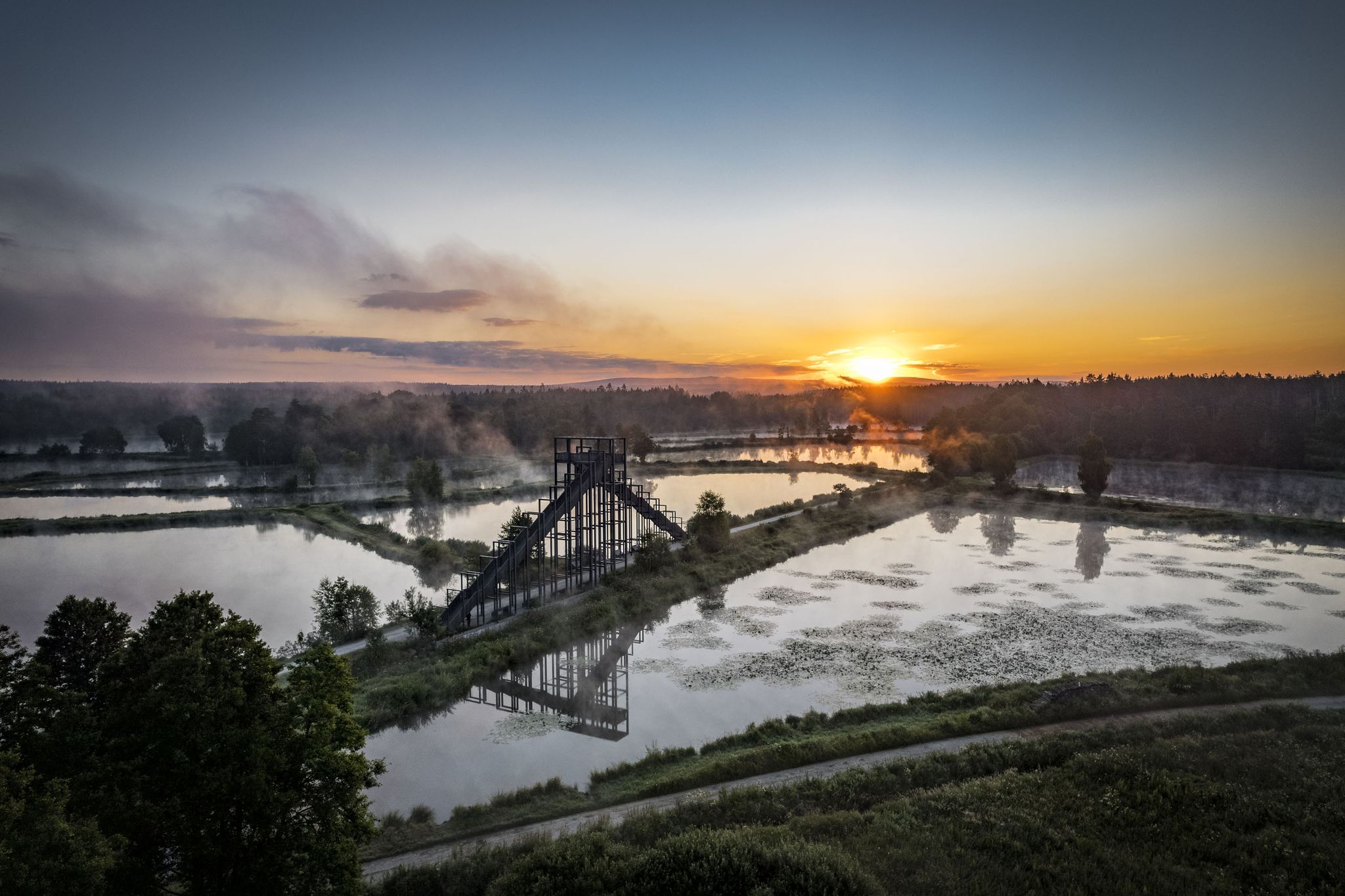
How refreshing! Trails by the water in the Upper Palatinate Forest
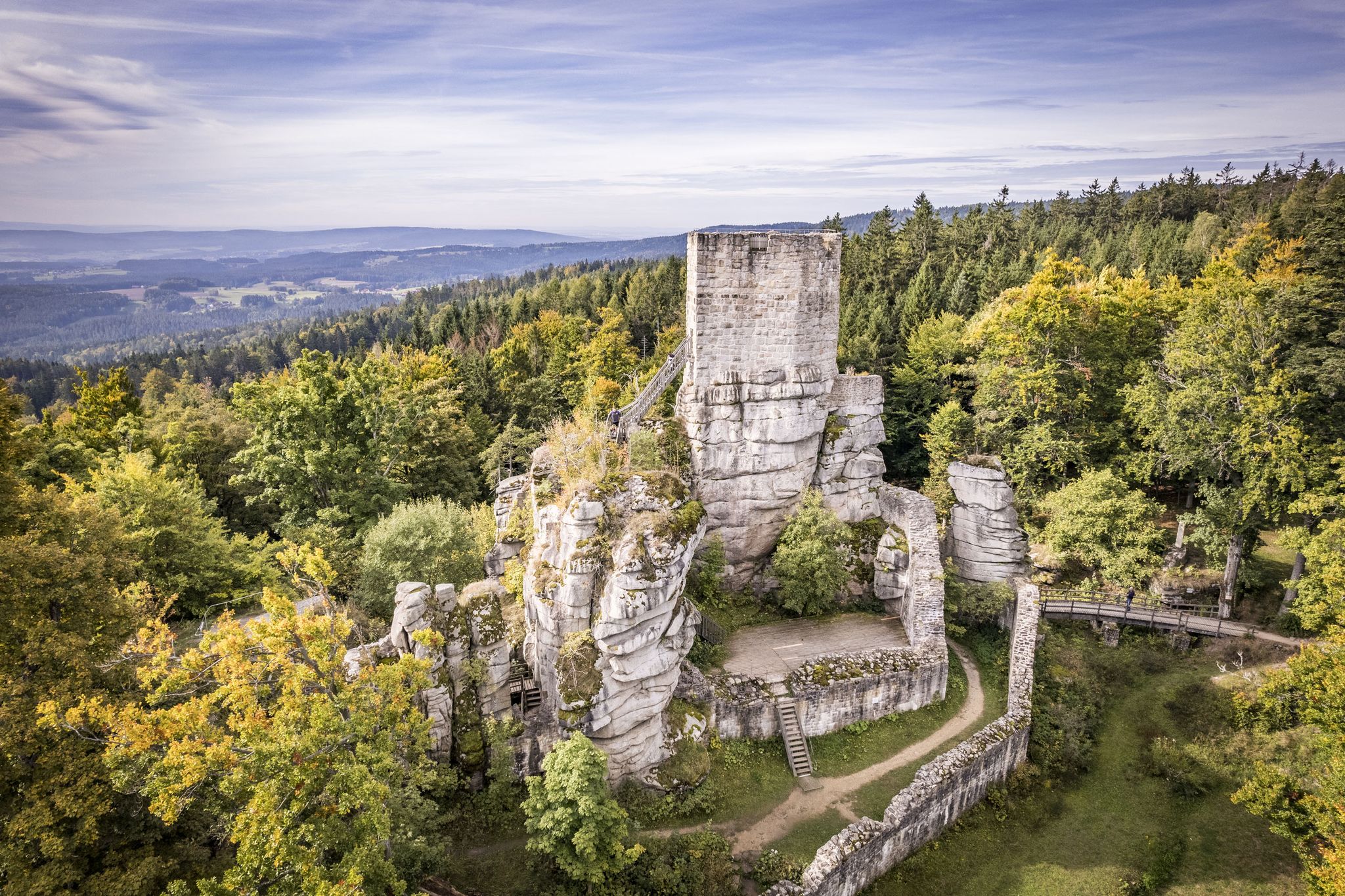
On the 'Kultouren' through the Upper Palatine Forest
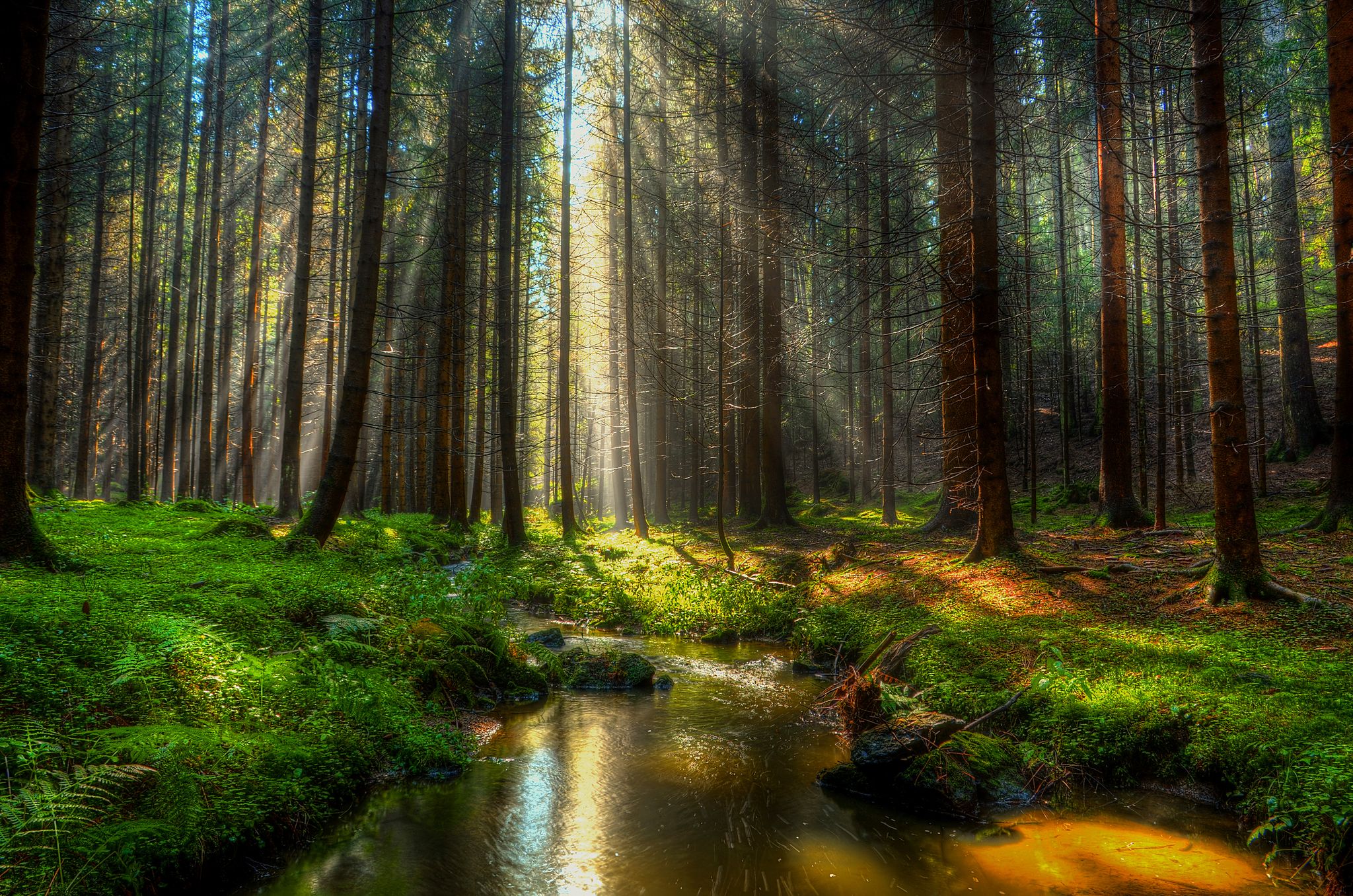
Experience nature at every turn – Forest Sea Trails in the Upper Palatinate Forest

No time for boredom – family hikes with a fun factor in Bayern
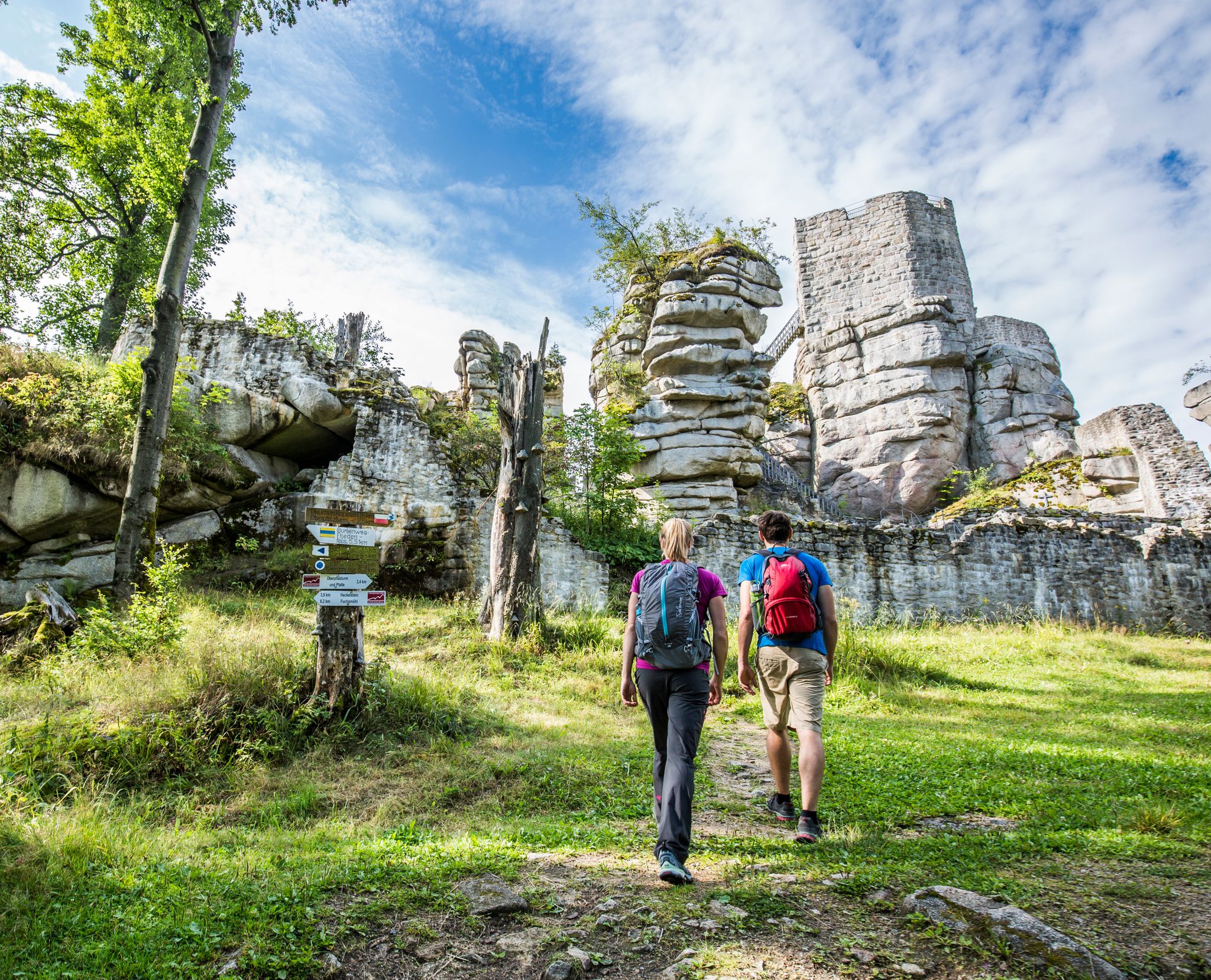
Arrive by bus & train — car-free hiking in the Upper Palatinate Forest
Other adventures in Naturpark Oberpfälzer Wald


Tips from the Community

Due to the ongoing drought and low inflows via the Schwarzach, the water level has dropped sharply, the gauge is currently several meters below the normal storage level and is extremely low. In addition, it is extensively covered by a green layer of blue-green algae, which looks quite pretty - but is not good at all, but very dangerous to health for humans and animals. Our tour was still fantastically beautiful!
1
0

large water wheel as part of the Upper Palatinate Craft Museum
0
0

Beautifully situated! Great station, not just for cyclists!
0
0

Here you can charge your bike, pump up the air and buy something to drink (including alcoholic beverages, thanks to the ID card device)
0
0

The abandoned village of Bügellohe lies directly on the Czech border. It can only be reached on foot, via a hiking trail of about three kilometers. At an altitude of 852 meters, ruins of houses stand in a clearing and in the forest. What today attracts curious visitors as a "lost place" was once a settlement where up to 75 people lived after the Second World War: Sudeten Germans from Wenzelsdorf, just one kilometer away. They had retreated to the Bavarian mountain saddle in the winter of 1945/46 to avoid expulsion from Czechoslovakia. They owned land on the saddle, a piece of land that juts out into Bohemia like a bow. They wanted to wait there until they could return home. Over time, the makeshift emergency shelters in the abandoned village of Bügellohe became permanent houses. A settlement was built from materials that had to be laboriously carried through the forest from the village of Stadlern, four kilometers away, to Bügellohe. The hopes of the Bügelloh residents of returning to their old homeland were dashed. In 1950, the Prague government began razing Wenzelsdorf to the ground. Across the border, many Bügelloh residents gave up; life in isolation, without electricity or running water, was too hard. They moved away. Eventually, only one remained: Josef Licha. He, too, left Bügellohe in the fall of 1967.
21
0

From here you have a good view of the lake. The grounds appear well-maintained.
0
0

There's no buoy in sight at the moment. But the water level was also quite high.
1
0

Frequently Asked Questions
How many hiking trails are available in Naturpark Oberpfälzer Wald?
Naturpark Oberpfälzer Wald offers a vast network of trails, with over 1500 hiking routes recorded on komoot. These range from easy strolls to more challenging forest routes, ensuring options for various ability levels.
What kind of terrain can I expect when hiking in Naturpark Oberpfälzer Wald?
The terrain in Naturpark Oberpfälzer Wald is highly diverse. You'll find expansive forests, picturesque river valleys like those of the Ascha, Schwarzach, Pfreimd, and Naab rivers, and serene lakes such as Murner See and Brückelsee. The park also features unique geological formations, including basalt cones and the globally unique "Pfahl" quartz vein, offering varied landscapes for exploration.
Are there any easy hiking trails suitable for beginners or families in Naturpark Oberpfälzer Wald?
Yes, Naturpark Oberpfälzer Wald has numerous easy trails perfect for beginners or families. For example, the Niedermurach's Sagenhafter Tanzacker loop is an easy 7 km route. Another great option is the Murner Lake Loop Trail – View of Lake Murner loop from Murner See, an easy 6.6 km path around the lake.
Are there circular hiking routes in Naturpark Oberpfälzer Wald?
Many trails in Naturpark Oberpfälzer Wald are designed as circular routes, allowing you to start and end at the same point. A popular example is the Lake Murner – Upper Palatinate Fairy Tale Garden loop from Charlottenhofer Weihergebiet, a moderate 7.8 km path exploring the lake area.
What are some notable natural features or viewpoints to look for during a hike?
Naturpark Oberpfälzer Wald is known for its unique natural features. Keep an eye out for the "Pfahl" quartz vein, a striking geological formation, and remnants of Bavaria's southernmost volcanic region, visible as basalt cones. For expansive views, the highest point in the Schwandorf district, at 898 meters, offers a glass-enclosed viewing platform with panoramas of the Upper Palatinate, Bohemian, and Bavarian Forests.
What historical or cultural attractions can I explore near the hiking trails?
Beyond its natural beauty, the park integrates cultural and historical attractions. You can explore ancient towns like Nabburg, or visit medieval castles such as Reichenstein Castle Ruins or Count Palatine Castle Complex Neunburg vorm Wald. The region also features an open-air museum, Freilandmuseum Oberpfalz, for a deeper dive into local history.
Is Naturpark Oberpfälzer Wald suitable for dog-friendly hikes?
Yes, many trails in Naturpark Oberpfälzer Wald are suitable for hiking with dogs. The extensive forest paths and lakeside routes provide ample space for you and your canine companion to enjoy the outdoors. Always ensure your dog is on a leash where required and respect local wildlife.
What is the best time of year to go hiking in Naturpark Oberpfälzer Wald?
The Naturpark Oberpfälzer Wald is enjoyable throughout the year, but spring and autumn offer particularly pleasant conditions with mild temperatures and vibrant scenery. The significant forest cover also makes it a refreshing destination during hot summer days, acting as a natural air conditioner.
Are there long-distance hiking trails that pass through Naturpark Oberpfälzer Wald?
Yes, several notable long-distance hiking routes traverse the park. These include sections of the Goldsteig, a renowned long-distance trail in Eastern Bavaria, and the Nurtschweg, which follows the German-Czech border. The Oberpfälzer Seenweg also provides a multi-stage route past various lakes within the region.
What do other hikers enjoy most about hiking in Naturpark Oberpfälzer Wald?
The area is highly rated by the komoot community, with an average score of 4.6 stars from over 5,800 reviews. Hikers often praise the diverse landscapes, from tranquil forests and river valleys to unique geological formations, as well as the well-maintained and varied network of trails suitable for all levels.
Are there opportunities for hiking around lakes in the park?
Absolutely. The park features several beautiful lakes, including Murner See, Brückelsee, and the Charlottenhofer Weihergebiet, which offer excellent opportunities for lakeside hikes. The Eixendorf lakeside path is a popular moderate route that follows the shores of Lake Eixendorf for 15.2 km.
How can I find more information about the Northern Upper Palatinate Forest Natural Park?
For additional details and tips about the Northern Upper Palatinate Forest Natural Park, you can visit the official tourism website: weiden-tourismus.info.
Most popular routes in Naturpark Oberpfälzer Wald
Most popular attractions in Naturpark Oberpfälzer Wald

Get inspired with the komoot mobile app


Explore more
Browse the best Hikes in other regions.
