The best walks and hikes in Obora Aglaia
4.5
(7)
140
hikers
22
hikes
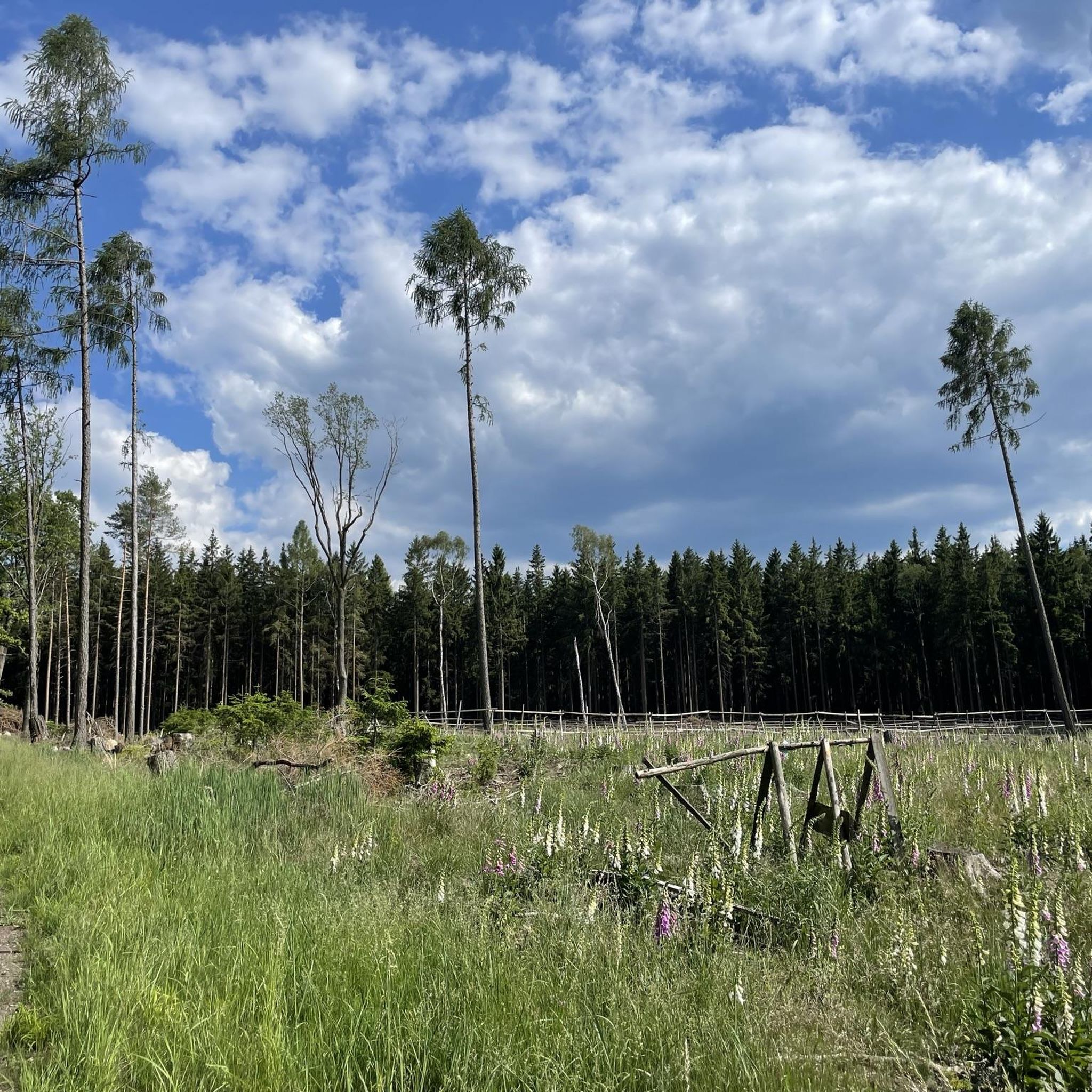
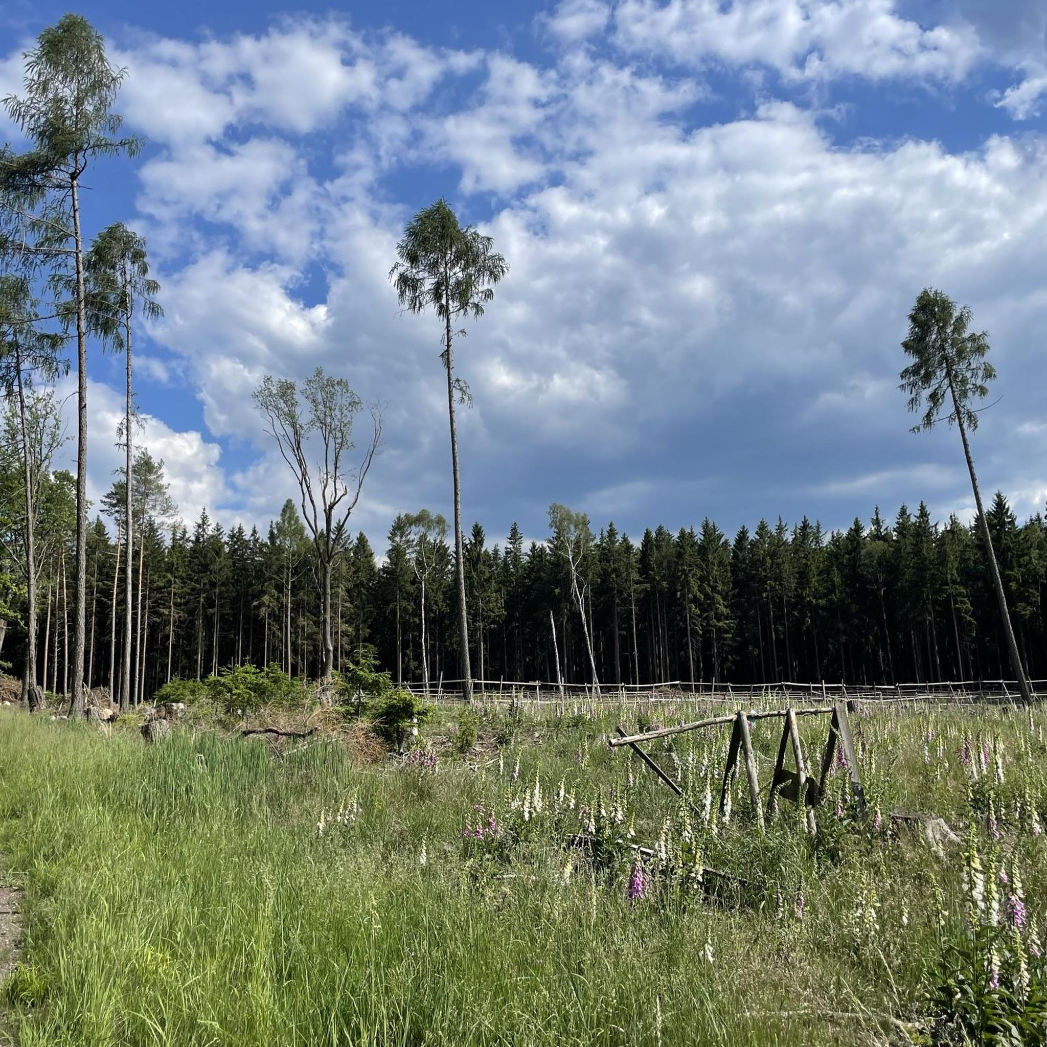
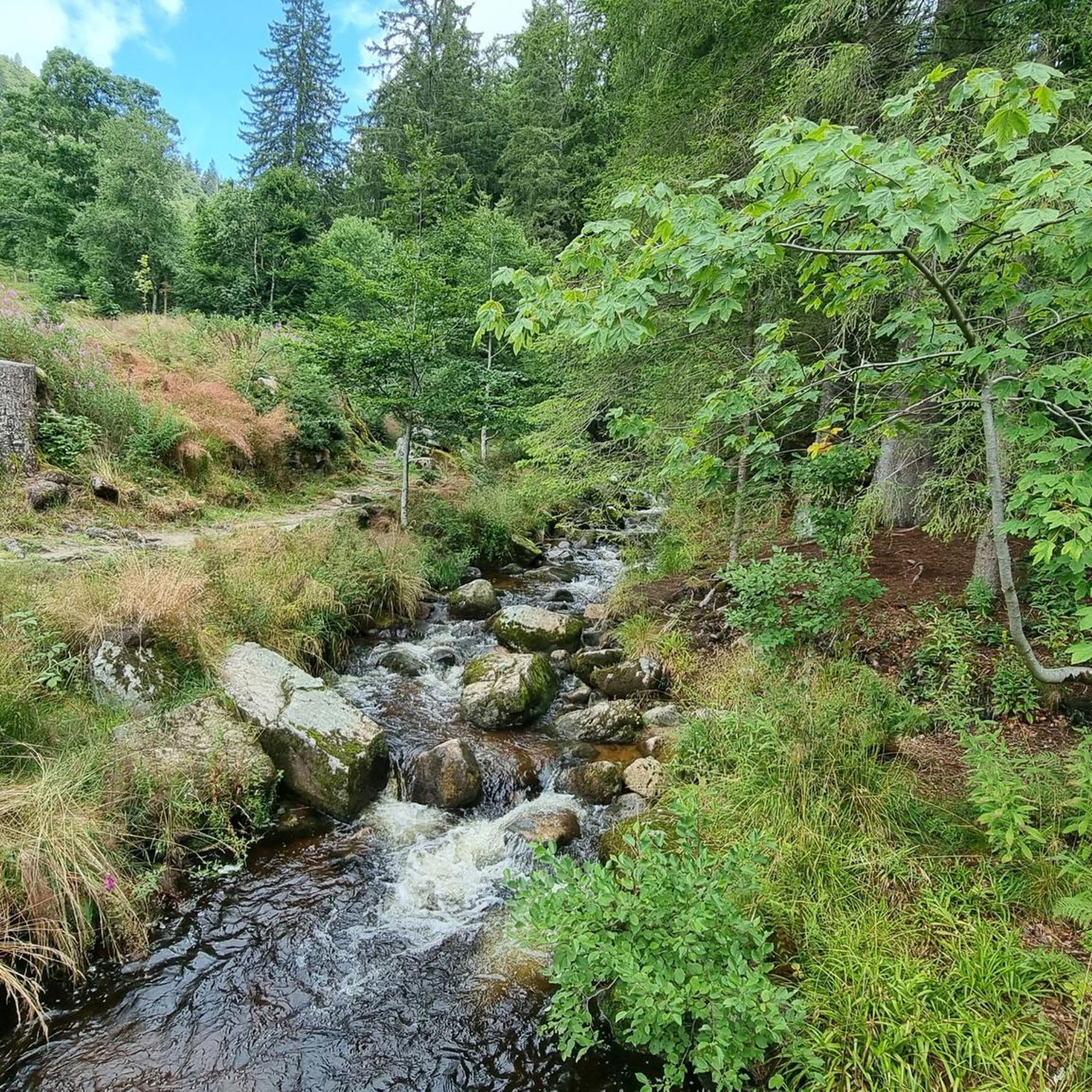
Hiking in Obora Aglaia offers diverse landscapes across more than 5 square kilometers, featuring prominent hills like Aglaia (491 m) and Spálený (551 m). The terrain ranges from 350 to 500 meters above sea level, providing varied inclines. The region is characterized by lush forest stands, including oaks, beeches, and large Douglas firs, alongside natural water features such as the Knížecí studánky and the Lipižský potok valley.
Best hiking trails in Obora Aglaia
- The most popular hiking route is Stará…
Last updated: June 26, 2026
5.0
(1)
6
hikers
16.6km
04:29
210m
210m
Moderate hike. Good fitness required. Mostly accessible paths. Sure-footedness required.
4
hikers
13.4km
03:34
150m
150m
Moderate hike. Good fitness required. Easily-accessible paths. Suitable for all skill levels.

Sign up for free
5.0
(1)
6
hikers
15.7km
04:15
190m
190m
Moderate hike. Good fitness required. Mostly accessible paths. Sure-footedness required.
5
hikers
19.9km
05:30
350m
350m
Hard hike. Very good fitness required. Easily-accessible paths. Suitable for all skill levels.
8
hikers
4.14km
01:12
110m
110m
Easy hike. Great for any fitness level. Easily-accessible paths. Suitable for all skill levels.
Get access to more routes and recommendations from other explorers.
Sign up for free
Already have an account?
Our route recommendations are based on thousands of hikes, rides, and runs completed by other people on komoot.
Start today with a free account
Your next adventure awaits.
Login or Signup
Tips from the Community


Frequently Asked Questions
How many hiking trails are available in Obora Aglaia?
Obora Aglaia offers a network of over 20 hiking trails, catering to various fitness levels. You'll find options ranging from easy walks to more challenging moderate hikes, allowing you to explore the diverse landscapes of the region.
What kind of terrain and natural features can I expect on the trails in Obora Aglaia?
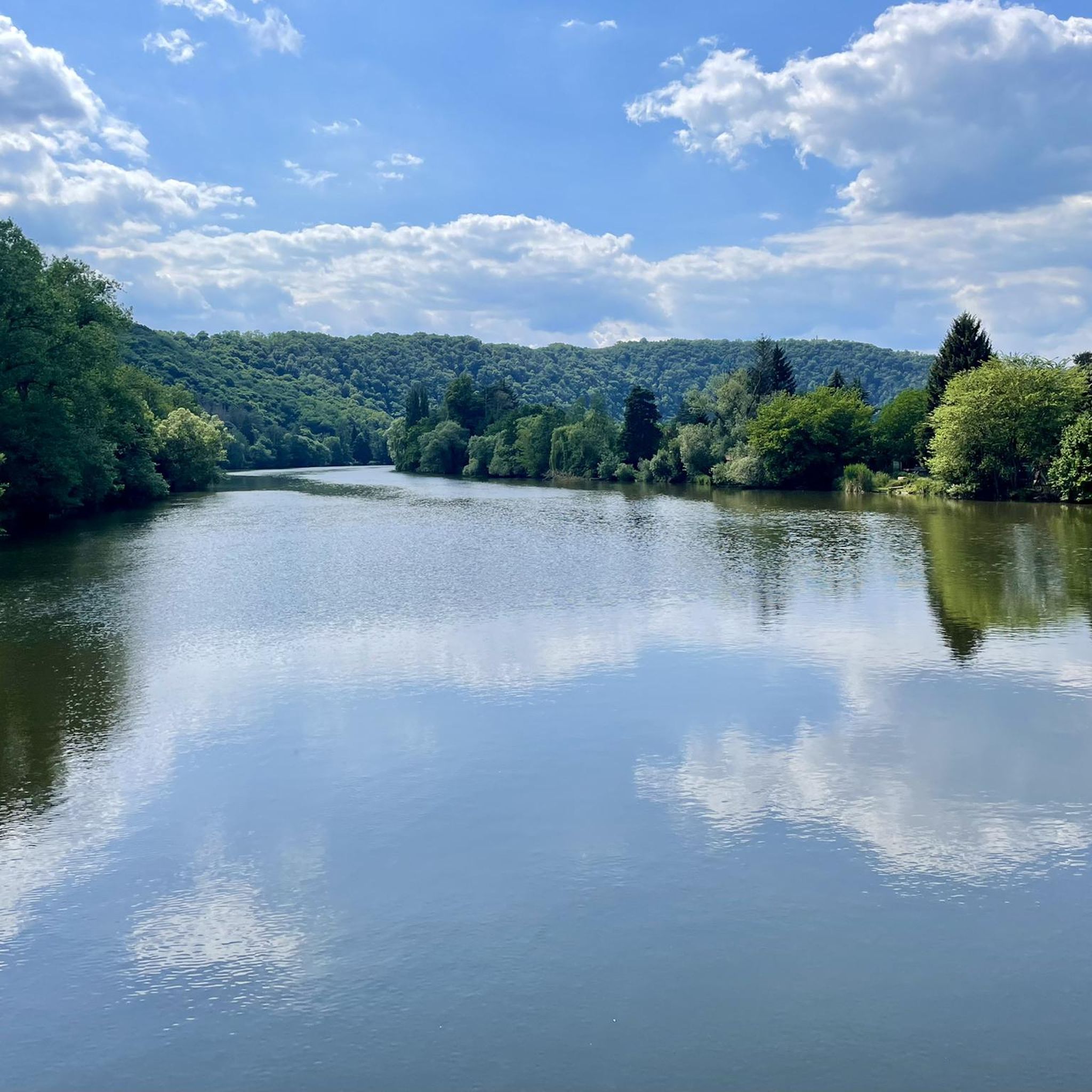
The region features diverse landscapes with varied terrain, including prominent hills like Aglaia (491 m) and Spálený (551 m). You'll hike through lush forest stands dominated by oaks and beeches, and encounter natural water features such as the Knížecí studánky (Princely Springs) and the picturesque Lipižský potok (Lipiž Stream) valley. The Aglaia hill itself is notably crowned with enormous Douglas firs.
Are there easy hiking options suitable for beginners or families in Obora Aglaia?
Yes, Obora Aglaia has several easy hiking trails perfect for beginners or families. One such option is the Studený Vrch Lookout Tower loop from přírodní rezervace Hradec, a 4.1 km (2.5 miles) trail that leads through forested areas and is typically completed in about 1 hour 12 minutes.
Are there any circular hiking routes in Obora Aglaia?
Many of the trails in Obora Aglaia are designed as circular routes, allowing you to start and end at the same point. For example, the Stará Mýta [Voznice] loop from Dobříš is a moderate 16.5 km (10.3 miles) trail that explores the varied terrain around Dobříš, offering a complete loop experience.
What historical or cultural points of interest can be found along the hiking trails?
Beyond its natural beauty, Obora Aglaia holds historical significance. The area contains the remains of a prehistoric fortified settlement (hradíště Dvorce) with an embankment and a moated ditch, possibly dating back to the first Přemyslid rulers. While the deer park enclosure itself is not publicly accessible, the broader landscape was historically part of the extensive Královská Stolice (Royal Chair) deer park.
What do other hikers enjoy most about hiking in Obora Aglaia?
The hiking routes in Obora Aglaia are highly rated by the komoot community, with an average score of 4.5 stars from 7 reviews. Hikers often praise the diverse landscapes, the lush deciduous forests, and the picturesque stream valleys that define the area, making for a rewarding outdoor experience.
Is Obora Aglaia suitable for dog-friendly hikes?
While specific regulations for dogs on trails can vary, the natural park setting and extensive forest paths of Obora Aglaia generally offer a welcoming environment for dog owners. It's always recommended to keep dogs on a leash, especially in areas with wildlife or near other hikers, and to follow local signage.
What is the best time of year to go hiking in Obora Aglaia?
Obora Aglaia offers beautiful hiking opportunities throughout much of the year. The high proportion of deciduous trees, such as oaks and beeches, makes autumn particularly stunning with vibrant fall foliage. Spring brings fresh greenery and blooming flora, while summer provides lush, shaded trails. Always check local weather conditions before heading out.
Are there any longer, more challenging hikes in the region?
Yes, for those seeking a more strenuous adventure, there are longer and more challenging options. The Pivovar Kytín loop from Voznice is a difficult 19.8 km (12.3 miles) hike with significant elevation gain, offering a robust challenge for experienced hikers.
Where can I find parking for hiking trails in Obora Aglaia?
Many trails in the Obora Aglaia area, particularly those starting from nearby towns like Dobříš or Voznice, offer accessible parking options. For instance, routes like the Rybník Papež loop from Dobříš typically have parking available near their starting points in the respective towns, making it convenient for hikers arriving by car.
Is it possible to reach the hiking trails in Obora Aglaia using public transport?
Yes, the region around Obora Aglaia is generally accessible by public transport, especially from nearby towns like Dobříš and Voznice. These towns serve as common starting points for many trails, and local bus services often connect them to larger transport hubs, allowing hikers to reach the trailheads without a car.
Most popular routes in Obora Aglaia

Get inspired with the komoot mobile app


Explore more
Browse the best Hikes in other regions.
