The best road cycling routes in Přírodní Rezervace Káraný – Hrbáčkovy Tůně
4.8
(14)
132
riders
45
rides
Road cycling in Přírodní Rezervace Káraný – Hrbáčkovy Tůně is characterized by its flat landscapes and low elevation, ranging from 169–179 meters above sea level. The region features a network of well-maintained paths and paved routes, ideal for road cyclists seeking minimal elevation gain. This area is defined by its oxbow lakes, river meanders, and extensive floodplain forests along the Labe River. The consistent topography allows for accessible rides suitable for various fitness levels.
Best road cycling routes in Přírodní…
Last updated: July 14, 2026
8
riders
Moderate road ride. Great for any fitness level. Some segments of this route may be unpaved and difficult to ride.
3
riders
55.4km
02:19
330m
330m
Moderate road ride. Good fitness required. Mostly well-paved surfaces and easy to ride.

Sign up for free
3
riders
42.1km
01:44
200m
200m
Moderate road ride. Great for any fitness level. Some segments of this route may be unpaved and difficult to ride.
3
riders
Moderate road ride. Good fitness required. Some segments of this route may be unpaved and difficult to ride.
5
riders
Moderate road ride. Great for any fitness level. Some segments of this route may be unpaved and difficult to ride.
Get access to more routes and recommendations from other explorers.
Sign up for free
Already have an account?
Our route recommendations are based on thousands of hikes, rides, and runs completed by other people on komoot.
Start today with a free account
Your next adventure awaits.
Login or Signup
Popular around Přírodní Rezervace Káraný – Hrbáčkovy Tůně
Tips from the Community

The cycle path is easy to ride on racing bikes. But be careful on the right-angled bends!
1
0
Unfortunately, this section of the otherwise beautiful riverside cycle path has been severely damaged by roots. Avoid cycling here if possible. Status as of June 2025
1
0

A nice part of the Polaba cycle path
0
0

Great for cyclists and also suitable for trikes.
0
1

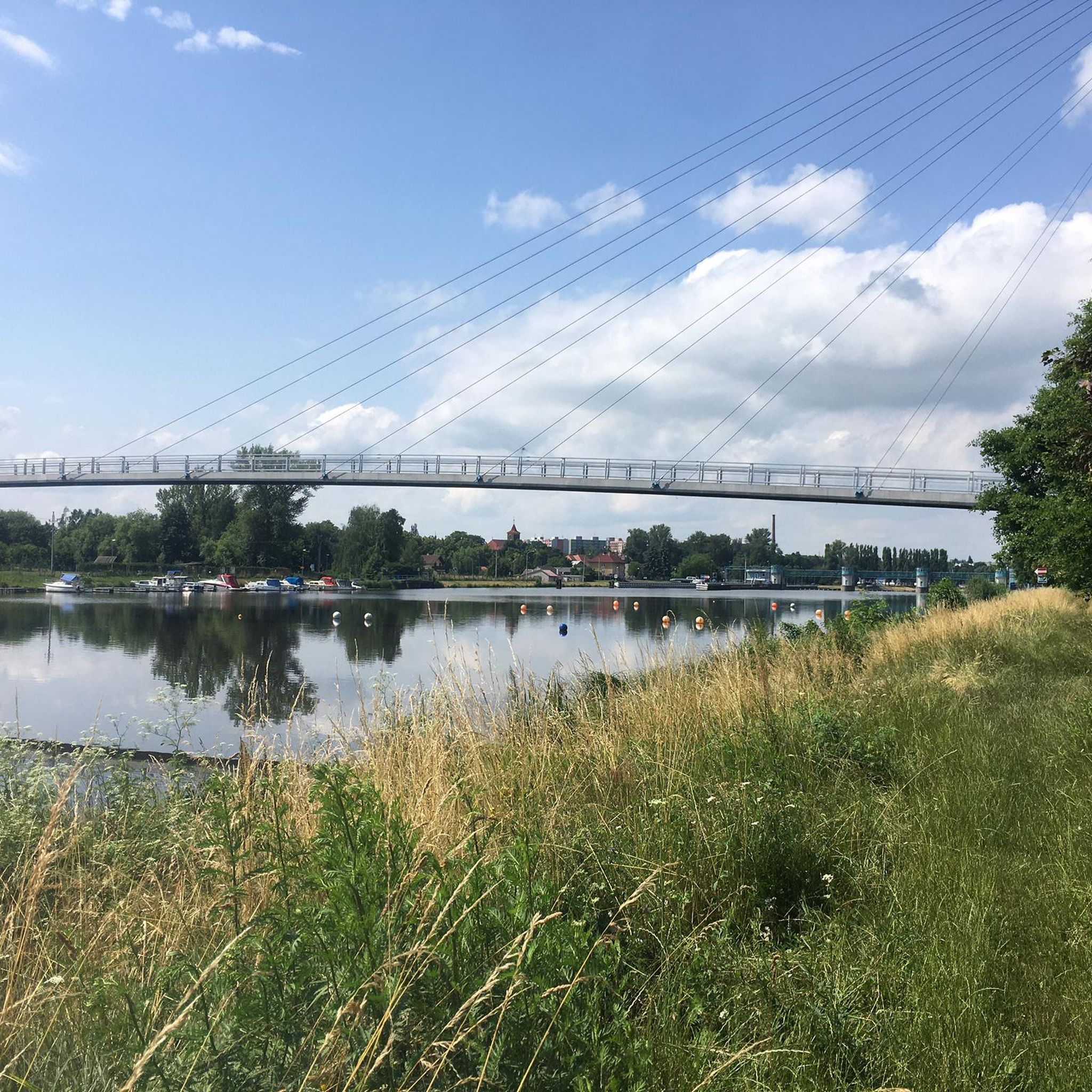
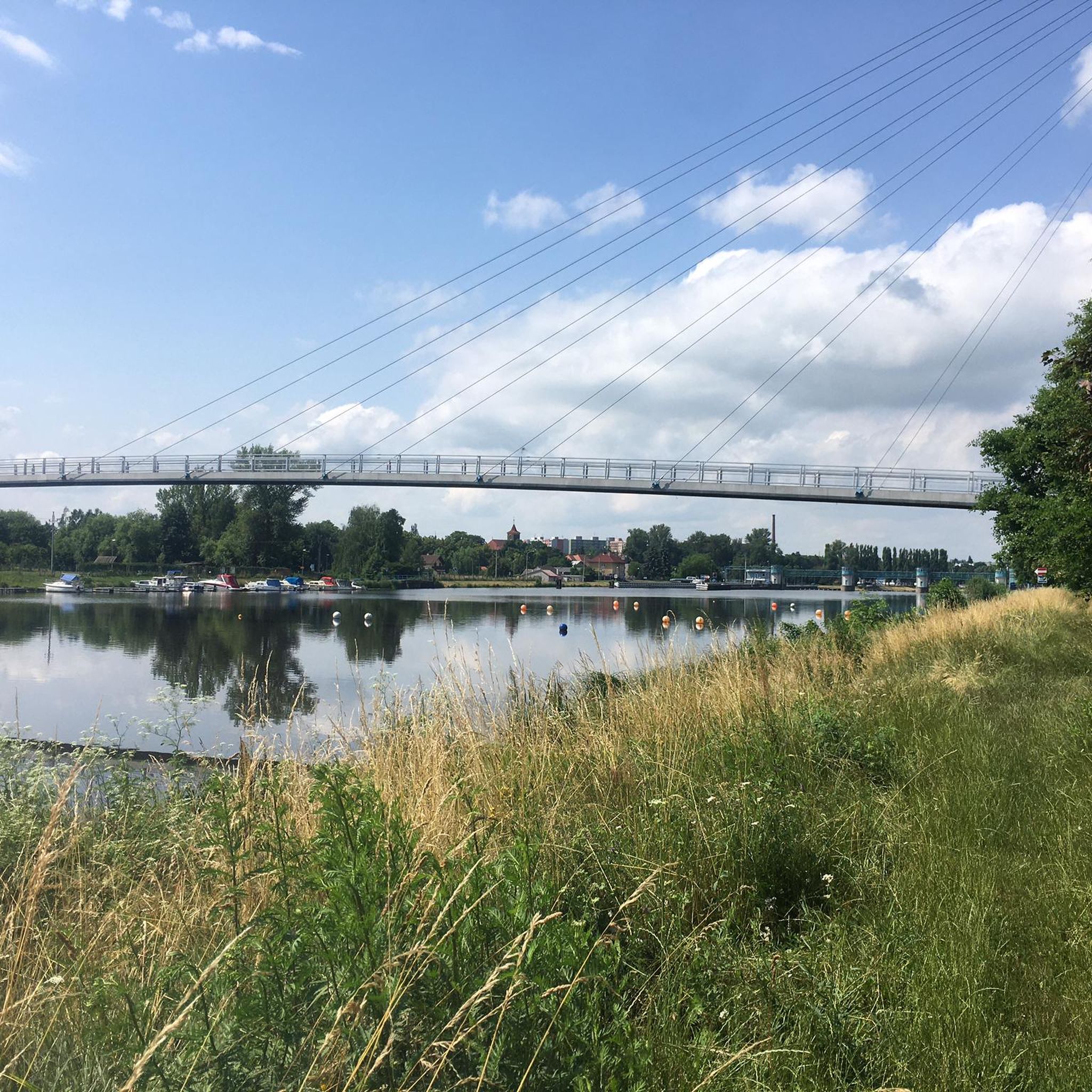
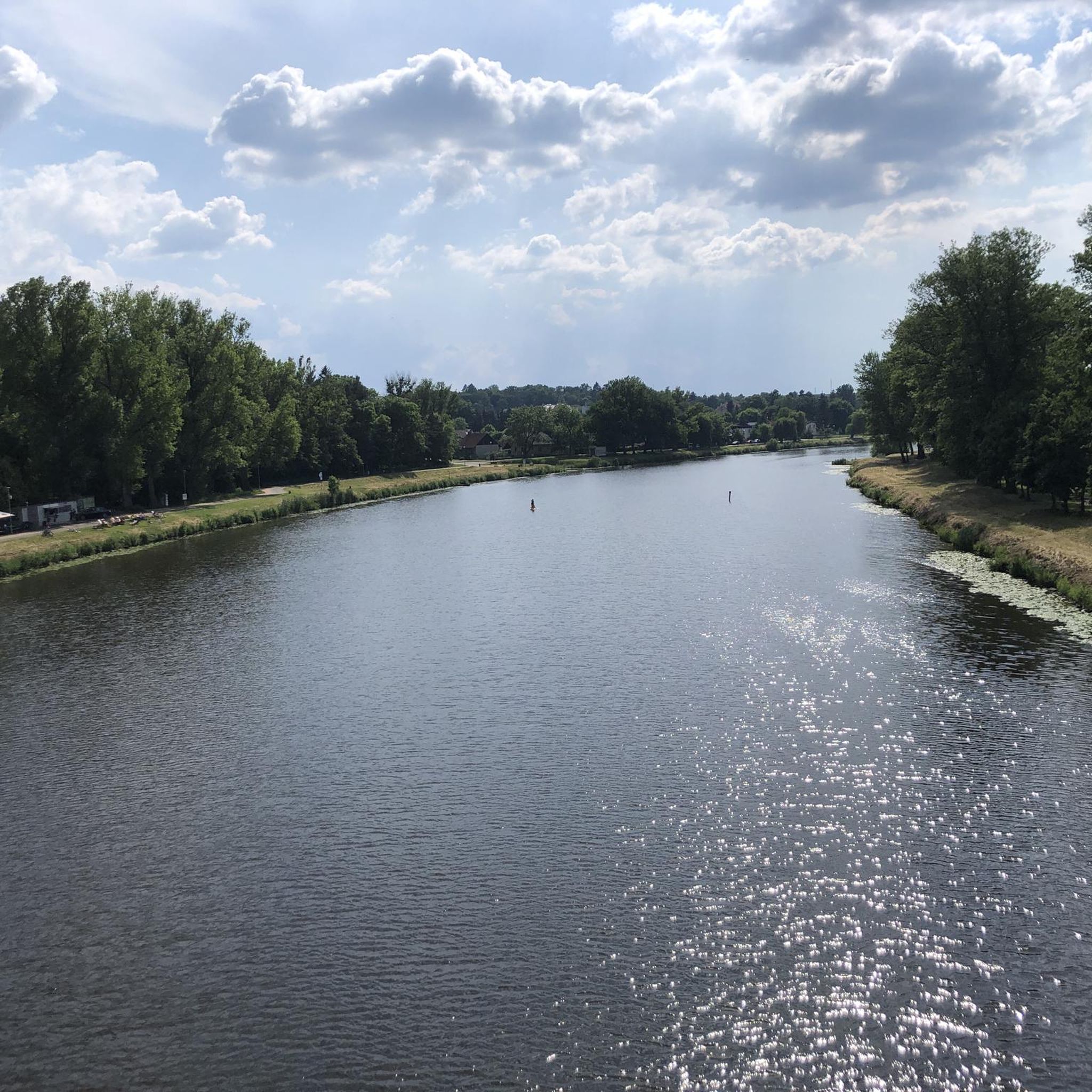
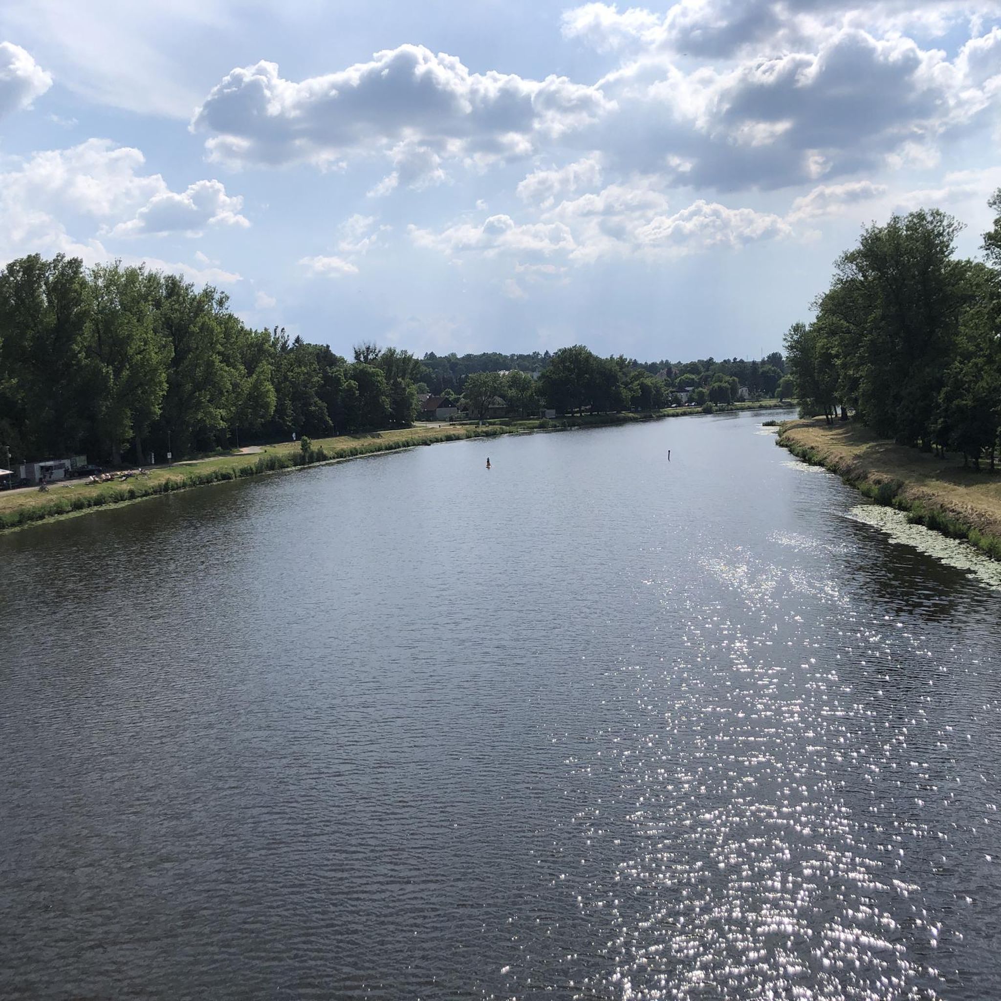
If you want to get to the other side, bridges are a good option. This one is also quite nice to look at, as it is a bit different. And it is well suited for cyclists.
1
0

Brandeis came into being as a market town around the year 1300. It was founded as a result of the Lausitz-Prague trade route. In contrast to the Catholic Altbunzlau, Brandeis was also open to other faiths. On the site of today's castle, there was originally a defensive bridge fortress on a rocky outcrop above the Elbe. This fortress was founded by the Michalovice family, who owned it until 1420. Then came the noble families of Cimburk, Šemberk and Kraiger von Kraigk. The latter made great contributions to the development of the city. After Konrad Kraiger von Kraigk had been involved in the Bohemian uprising of 1547, Brandeis fell to the Roman-German king and later Emperor Ferdinand I. With the help of Italian master builders, Ferdinand had the castle converted into a Renaissance palace. Emperor Rudolf II, who made Brandeis a royal chamber city in 1581, often stayed in the castle. On January 19, 1628, Emperor Ferdinand II issued a document at Brandýs Castle, with which he deposed the Dukes of Mecklenburg and Wallenstein initially under pledge, on June 16, 1629 hereditary enfeoffed with Brandeis. One of the extraordinary events in Brandeis in 1813 was the meeting of three rulers, the Austrian Emperor Franz I, the Prussian King Friedrich Wilhelm III. (Prussia) and the Russian Tsar Alexander I together with the Commander-in-Chief during the Napoleonic Wars, Prince Schwarzenberg. There they discussed joint action against Napoleon I. In 1860, Leopold II of the Tuscan Habsburg family bought the castle at auction. Source: https://de.wikipedia.org/wiki/Brand%C3%BDs_nad_Labem-Star%C3%A1_Boleslav
0
0

Great opportunity to cool down on hot days. Accessible from the nearby cycleway.
0
0

Nice and functional bike bridge over the Elbe near Čelákovice. More information: https://de.wikipedia.org/wiki/%C4%8Cel%C3%A1kovice
1
0
Frequently Asked Questions
What kind of terrain can I expect on road cycling routes in Přírodní Rezervace Káraný – Hrbáčkovy Tůně?
The region is known for its exceptionally flat landscapes, with elevations ranging from 169–179 meters above sea level. This makes it ideal for road cyclists seeking minimal elevation gain and smooth, consistent rides. Routes often follow well-maintained paths and paved surfaces along the Labe River and around oxbow lakes.
Are there road cycling routes suitable for beginners or families in this area?
Yes, the flat topography and low elevation make Přírodní Rezervace Káraný – Hrbáčkovy Tůně very beginner-friendly. Many routes, such as the Steep climb – Asphalt Road Záluží–Nehvizdy loop from Nehvizdy, are classified as easy. The area's dedicated cycling paths, like those along the Elbe, are also popular with families and inline skaters, offering a safe and enjoyable experience.
What natural features or landmarks can I see while cycling in Přírodní Rezervace Káraný – Hrbáčkovy Tůně?
The reserve is rich in natural beauty, defined by its unique oxbow lakes (locally known as 'tůně'), old river meanders, and extensive floodplain forests. You'll encounter diverse riparian vegetation, including alder and willow groves. The Přírodní Rezervace Káraný – Hrbáčkovy Tůně itself is a significant ecological site, part of the Natura 2000 network.
Are there any educational trails that cyclists can use?
Yes, the Údolím Labe educational trail (Naučná stezka Údolím Labe) passes directly through the reserve. This trail is suitable for both hiking and cycling, connecting Lysá nad Labem and Čelákovice. It offers insights into the area's history, geology, and natural environment through informational panels, providing an enriching experience alongside your ride.
What is the best time of year for road cycling in Přírodní Rezervace Káraný – Hrbáčkovy Tůně?
The flat terrain makes the area enjoyable for road cycling throughout much of the year. Spring and autumn offer pleasant temperatures and vibrant scenery, with blooming flora or colorful foliage. Summer is also suitable, especially with the shade provided by the extensive floodplain forests. Always check local weather conditions before heading out.
Can I find circular road cycling routes in the reserve?
Yes, many of the routes in Přírodní Rezervace Káraný – Hrbáčkovy Tůně are designed as loops, allowing you to start and end at the same point. For example, the Beach by the Labe River – Damaged Riverside Cycle Path loop from Čelákovice is a popular circular option that follows the Labe River.
What do other road cyclists enjoy most about road cycling in Přírodní Rezervace Káraný – Hrbáčkovy Tůně?
The area is highly rated by the komoot community, with an average score of 4.8 stars. Reviewers often praise the flat, well-maintained paths, the scenic views of the oxbow lakes and Labe River, and the peaceful atmosphere of the floodplain forests. The accessibility for various fitness levels is also frequently highlighted.
Are dogs allowed on the cycling routes in Přírodní Rezervace Káraný – Hrbáčkovy Tůně?
While the region is a nature reserve, many public paths, including parts of the Údolím Labe educational trail, are generally accessible. It's always best to keep dogs on a leash, especially in protected areas, to respect wildlife and other visitors. Specific rules for dogs may vary by exact location within the reserve.
Where can I park my car when visiting for road cycling?
Parking is typically available in nearby towns and villages that serve as common starting points for routes, such as Čelákovice, Mochov, or Lázně Toušeň. Look for designated parking areas or public parking facilities in these communities, which often provide convenient access to the cycling network.
Is public transport available to access the road cycling routes?
Yes, the towns surrounding Přírodní Rezervace Káraný – Hrbáčkovy Tůně, such as Čelákovice and Lysá nad Labem, are generally well-connected by public transport, including train and bus services. These towns can serve as excellent starting points for your cycling adventures, allowing you to reach the reserve without a car.
Are there cafes or pubs near the road cycling trails?
You can find cafes, pubs, and other refreshment options in the towns and villages bordering the reserve, such as Čelákovice, Lysá nad Labem, Brandýs nad Labem, and Káraný. These establishments offer convenient stops for a break, a meal, or to refill water bottles during or after your ride.
What is the typical length and difficulty of road cycling routes in this region?
Routes vary in length, with many popular options ranging from 25 to 35 miles (40 to 56 km). For example, the Descent loop from Mochov is about 35 miles (56.4 km). Due to the flat terrain, most routes are classified as easy to moderate, with minimal elevation gain, making them accessible for a wide range of cyclists.
Most popular routes in Přírodní Rezervace Káraný – Hrbáčkovy Tůně

Get inspired with the komoot mobile app


Explore more
Browse the best Road cycling routes in other regions.
