The best walks and hikes in Wildschutzgebiet Für Auerwild „Arber“
4.6
(19447)
77,153
hikers
51
hikes
Hiking in Wildschutzgebiet Für Auerwild „Arber“ offers diverse trails around the Großer Arber, the highest peak in the Bavarian Forest. The region features a landscape of mountain mixed forests, high-altitude spruce forests, and unique glacial lakes like Großer Arbersee and Kleiner Arbersee, known for their floating islands. This area is characterized by its paragneiss geology and significant peat bogs, providing varied terrain for outdoor activities.
Best hiking trails in Wildschutzgebiet Für Auerwild „Arber“
- The most popular hiking route is Großer…
Last updated: July 10, 2026
4.7
(388)
1,499
hikers
11.2km
03:49
510m
510m
Hard hike. Good fitness required. Sure-footedness, sturdy shoes and alpine experience required.
4.7
(198)
948
hikers
Hard hike. Good fitness required. Sure-footedness, sturdy shoes and alpine experience required.

Sign up for free
4.8
(183)
682
hikers
8.29km
02:49
320m
320m
Hard hike. Good fitness required. Sure-footedness, sturdy shoes and alpine experience required.
4.9
(83)
359
hikers
12.8km
04:38
520m
520m
Hard hike. Good fitness required. Sure-footedness, sturdy shoes and alpine experience required.
4.9
(40)
214
hikers
4.46km
01:37
230m
230m
Moderate hike. Great for any fitness level. Mostly accessible paths. Sure-footedness required.
Get access to more routes and recommendations from other explorers.
Sign up for free
Already have an account?
Our route recommendations are based on thousands of hikes, rides, and runs completed by other people on komoot.
Start today with a free account
Your next adventure awaits.
Login or Signup
Popular around Wildschutzgebiet Für Auerwild „Arber“
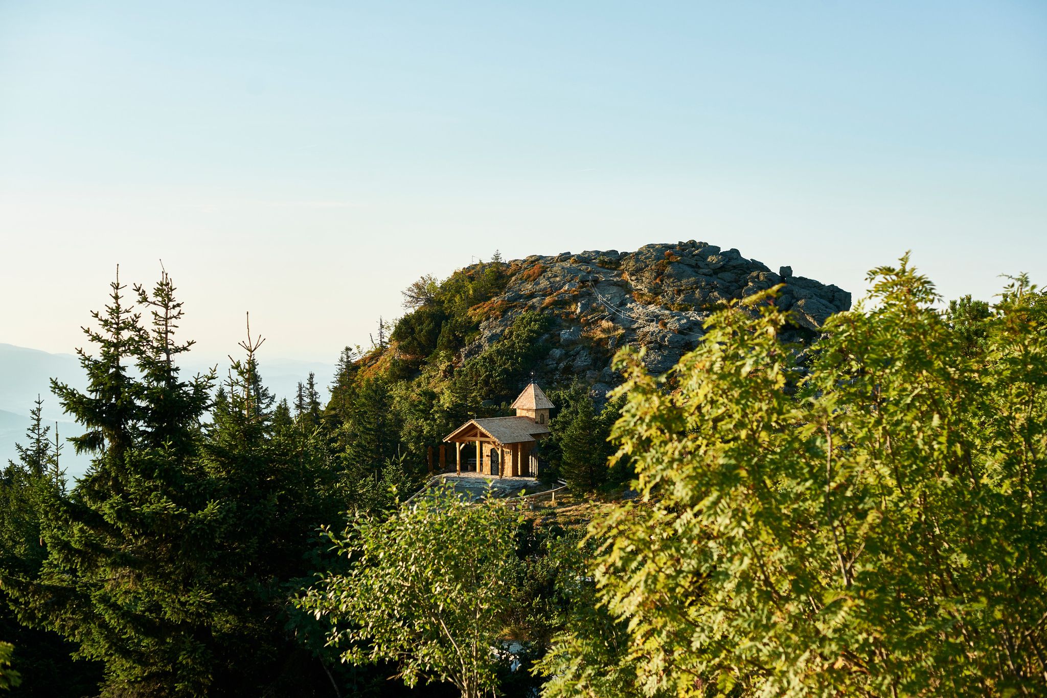
Six wonderful hikes around Bavaria’s Großer Arber
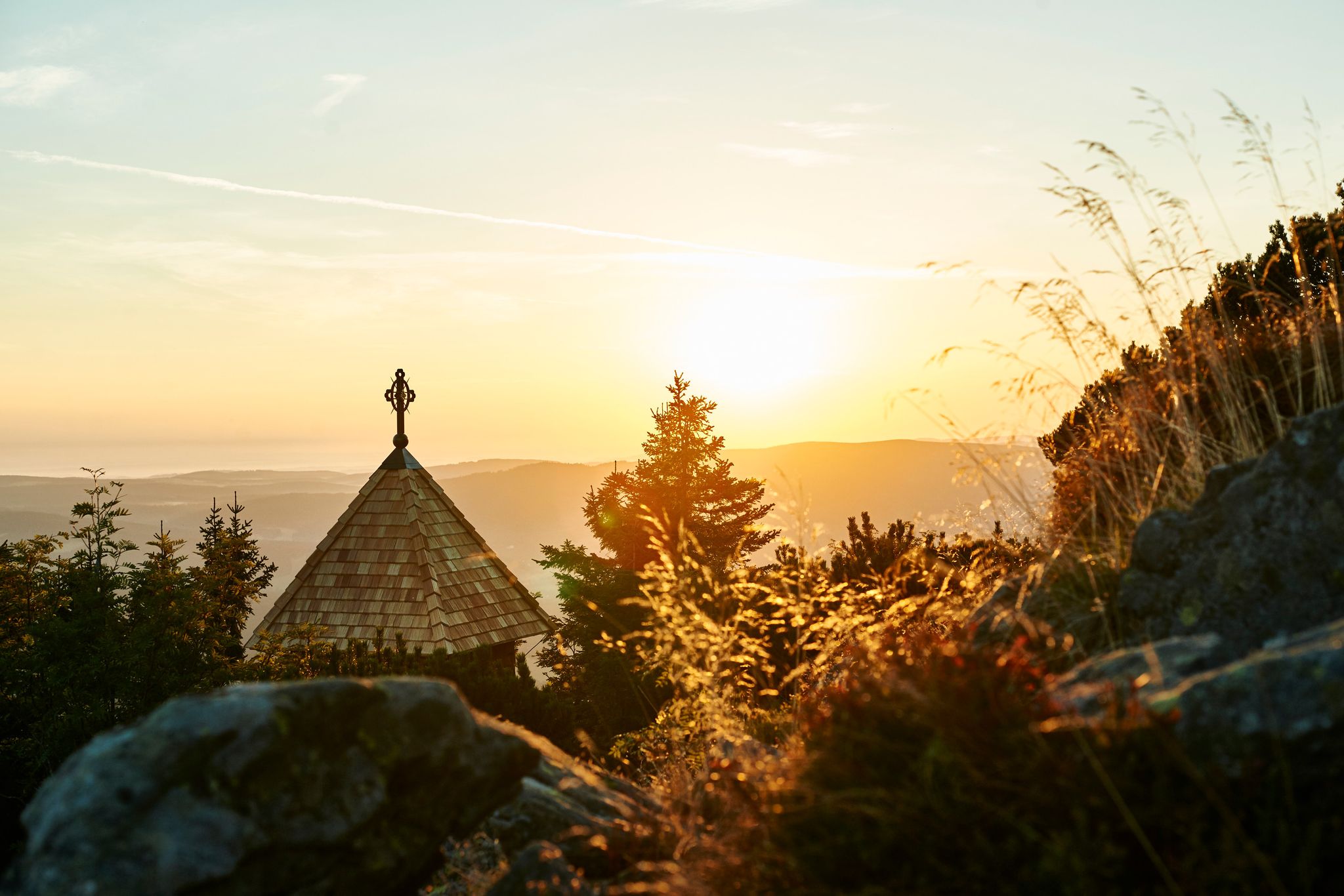
Unforgettable mountain experiences on the Großer Arber
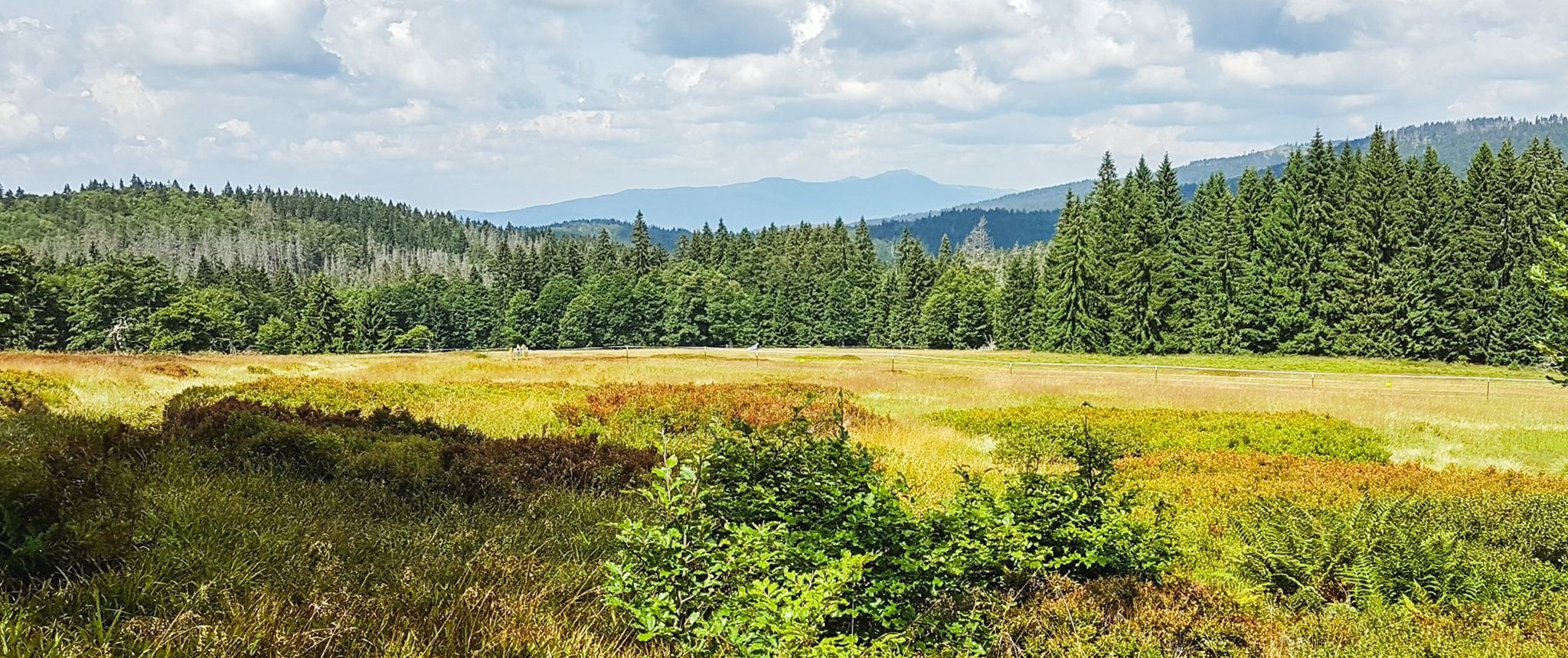
Let nature be nature – hiking in the Bavarian Forest
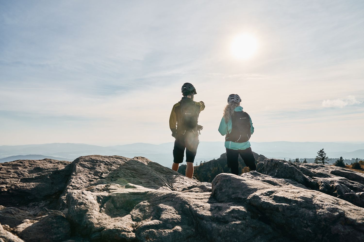
Trans Bayerwald Kurztour: Hüttentour, Romantik und wilde Natur
Running Trails in Wildschutzgebiet Für Auerwild „Arber“
MTB Trails in Wildschutzgebiet Für Auerwild „Arber“
Road Cycling Routes in Wildschutzgebiet Für Auerwild „Arber“
Cycling in Wildschutzgebiet Für Auerwild „Arber“
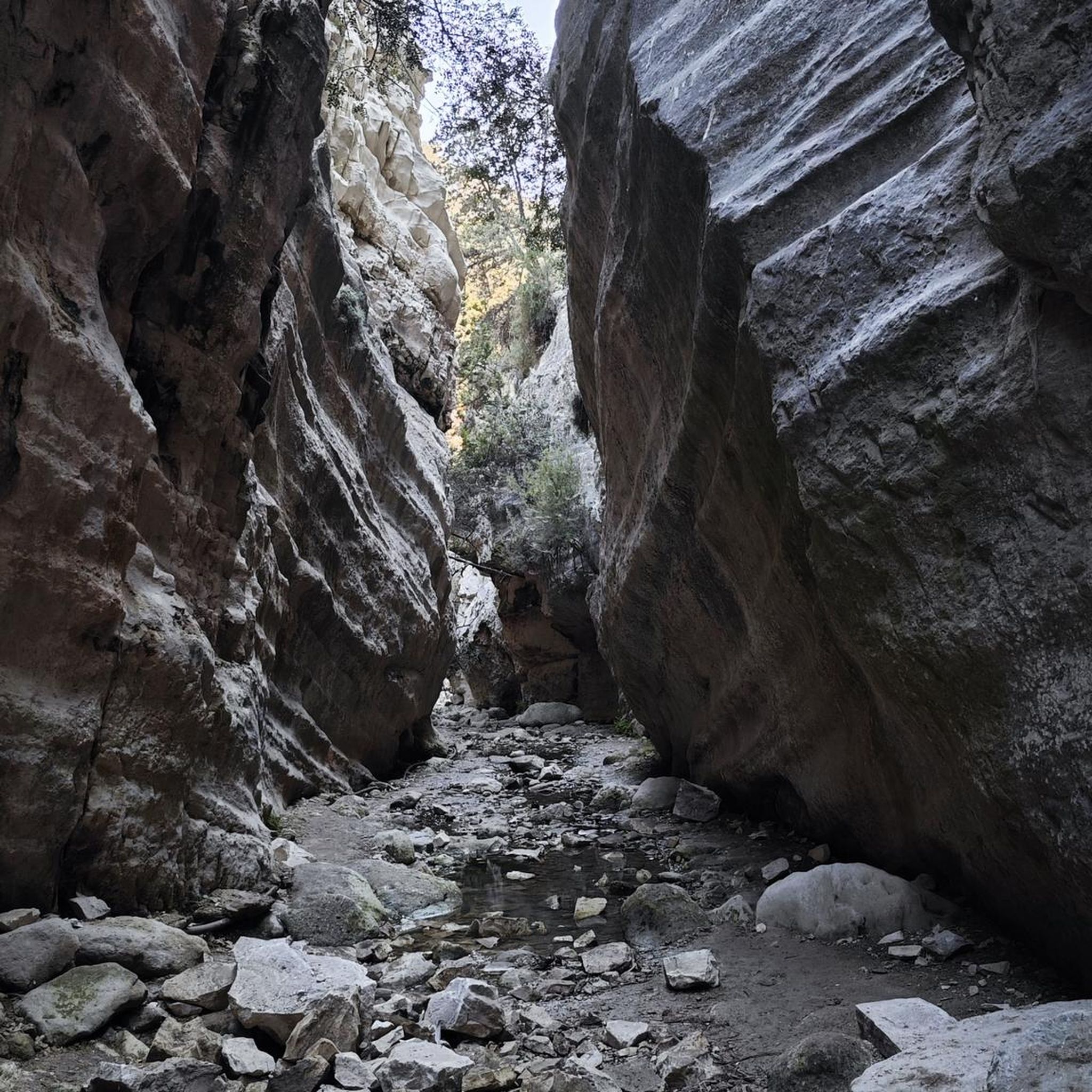
Mountain Hikes in Wildschutzgebiet Für Auerwild „Arber“
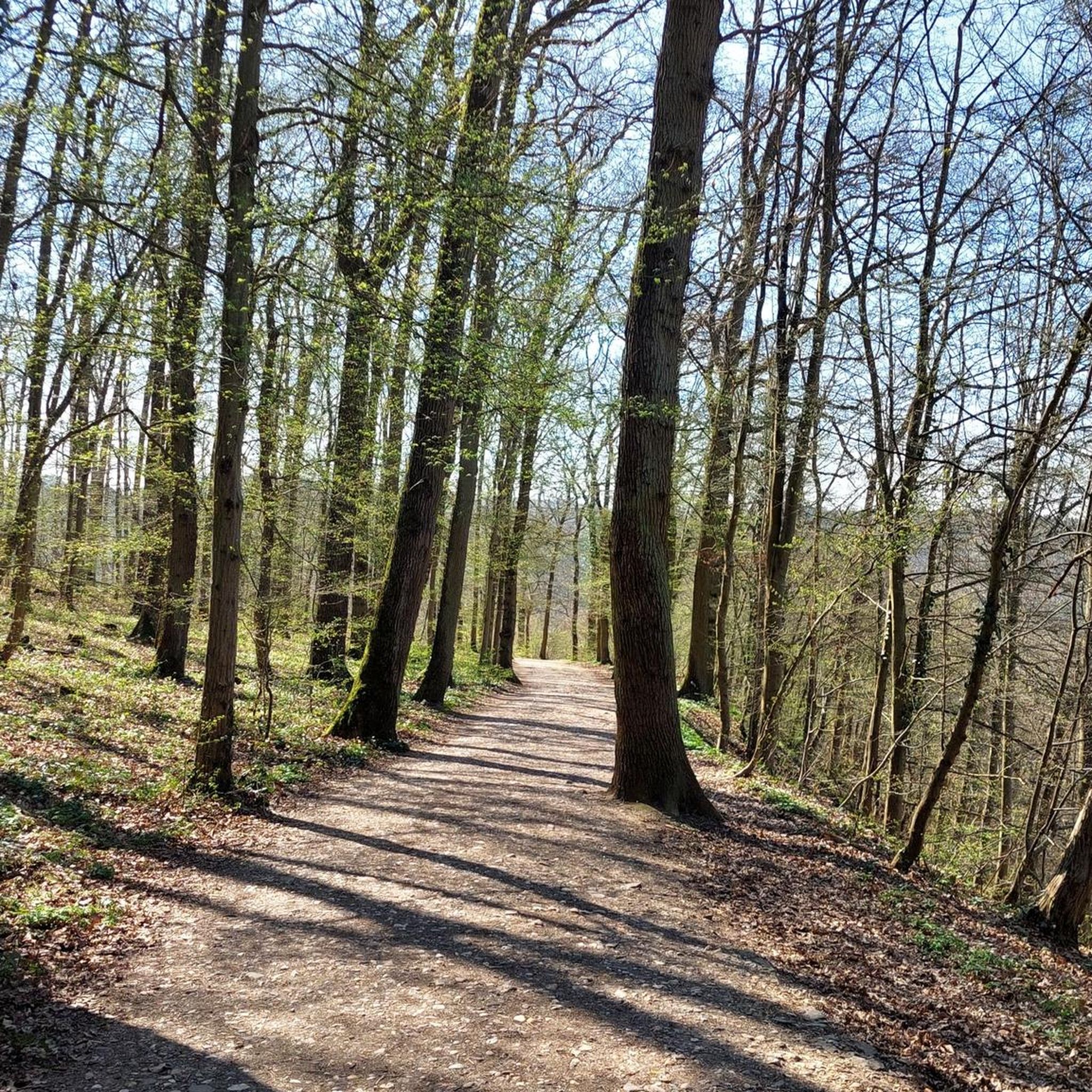
Gravel biking in Wildschutzgebiet Für Auerwild „Arber“
Other adventures in Wildschutzgebiet Für Auerwild „Arber“


Tips from the Community

Chamer Hütte is a very nice resting place
0
0

Nice change from the normal hiking trail 😁
0
0

The Enzian Wies is really just a meadow but it is located at 1210 m. Perhaps a few gentians grow there in season, otherwise it only has the name because of the gentian hill.
0
0

.. the ridge path should not be underestimated: the rocky terrain over the kilometer-long ridge requires surefootedness and stamina ..
0
0

Great view over to the big brother
0
0
A new boardwalk has been laid in the middle of the moor, but there is also an old, rather rotten one.
0
0
The summit cross of the Enzian is one of the most beautiful summit crosses on the tour.
0
0
Frequently Asked Questions
How many hiking trails are available in Wildschutzgebiet Für Auerwild „Arber“?
There are over 45 hiking trails in Wildschutzgebiet Für Auerwild „Arber“, ranging from easy strolls to challenging mountain ascents. You'll find 5 easy routes, 20 moderate, and 21 difficult options, ensuring something for every fitness level.
What are the main natural features or landmarks I can expect to see while hiking?
The region is rich in natural beauty. You can explore the unique glacial Großer Arbersee and Arbersee Bog with their floating islands, or hike to the Kleiner Arber Summit for panoramic views. The Enzian Summit Cross is another notable landmark. Don't miss the impressive Riesloch Waterfalls, the highest in the Bavarian Forest, especially after heavy rain or snowmelt.
Are there any family-friendly hiking routes in the Wildschutzgebiet Für Auerwild „Arber“?
Yes, there are several family-friendly options. While many trails are moderate to difficult, you can find easier walks around the Arbersee lakes. For instance, the Schareben Mountain Hut – Schareben Mountain Hut loop from Schareben is a moderate 2.9 km route that takes about 50 minutes, suitable for a shorter family outing.
Can I bring my dog on the hiking trails?
Yes, dogs are generally welcome, but due to the area being a wildlife sanctuary for the capercaillie, dogs must be kept on a leash year-round. This regulation helps protect endangered species and ensures a safe environment for all visitors.
What is the best time of year to go hiking in this region?
The best time for hiking is typically from late spring to early autumn (June to October) when the weather is mild and trails are clear. However, it's important to note that from November 1st to June 30th, visitors are required to stay on marked paths to protect the capercaillie during sensitive periods.
Are there any circular hiking routes available?
Yes, many routes in the region are circular. A popular option is the Great Arber Lake – Panoramic View from Großer Arber loop from Großer Arbersee, a challenging 11.5 km trail offering expansive views from the Großer Arber summit. Another is the Enzian Summit Cross – Boardwalk at Enzian Moor loop from Schareben, which is 8.3 km through forests and moorland.
What kind of terrain can I expect on the trails?
The terrain is diverse, ranging from well-maintained paths around the lakes to challenging rocky sections on mountain trails. You'll encounter dense forests, high-altitude spruce forests, and unique peat bogs. The summit region of the Großer Arber features paragneiss geology, adding to the varied landscape.
Are there places to eat or rest along the trails?
Yes, you can find cozy mountain huts like the Chamer Hütte, located just below the summit of the Kleiner Arber, which offer opportunities for rest and refreshments during longer hikes. There are also facilities near the Arber Bergbahn.
How do other hikers rate the trails in Wildschutzgebiet Für Auerwild „Arber“?
The trails in Wildschutzgebiet Für Auerwild „Arber“ are highly rated by the komoot community, with an average score of 4.5 stars from over 19,400 reviews. Hikers often praise the diverse landscapes, stunning views, and well-maintained paths.
Is public transport available to reach the hiking areas?
While specific public transport routes vary, the region is generally accessible. Many trailheads are reachable by local bus services, especially during peak season. It's advisable to check local transport schedules for the most up-to-date information on reaching specific starting points.
Are there any restrictions or special rules I should be aware of?
Yes, as a wildlife sanctuary for the capercaillie, strict rules apply. From November 1st to June 30th, you must stay on marked paths. Dogs must be kept on a leash year-round. These measures are crucial to protect the endangered wildlife in the area.
What is the highest point I can reach on a hike?
The highest point you can reach is the summit of the Großer Arber, often called the "King of the Bavarian Forest," standing at 1,455.5 meters (4,775 ft). Many challenging trails lead to its summit, offering magnificent views.
Most popular routes in Wildschutzgebiet Für Auerwild „Arber“
Most popular attractions in Wildschutzgebiet Für Auerwild „Arber“

Get inspired with the komoot mobile app


Explore more
Browse the best Hikes in other regions.
