Národní Přírodní Rezervace Černé A Čertovo Jezero
Národní Přírodní Rezervace Černé A Čertovo Jezero
The best mountain hikes in Národní Přírodní Rezervace Černé A Čertovo Jezero
4.8
(81)
560
hikers
38
hikes
Mountaineering routes in Národní Přírodní Rezervace Černé A Čertovo Jezero traverse a landscape shaped by glacial activity within the Šumava National Park. The region is characterized by two prominent glacial lakes, Černé jezero and Čertovo jezero, surrounded by dense spruce forests. Dramatic features like the Jezerní stěna cliff on Jezerní hora (1,343 m) provide significant elevation changes and challenging terrain. The presence of the European watershed and rugged moraine dams further defines the varied environment.
Best mountaineering routes in Národní…
Last updated: July 19, 2026
5.0
(1)
8
hikers
5.11km
01:57
270m
270m
Moderate mountaineering route. Great for any fitness level. Mostly accessible paths. Sure-footedness required.
9
hikers
9.96km
03:33
420m
420m
Moderate mountaineering route. Good fitness required. Mostly accessible paths. Sure-footedness required.

Sign up for free
4.7
(3)
57
hikers
12.9km
04:28
630m
630m
Moderate mountaineering route. Good fitness required. Mostly accessible paths. Sure-footedness required.
5.0
(5)
20
hikers
16.7km
06:19
800m
800m
Hard mountaineering route. Very good fitness required. Sure-footedness, sturdy shoes and alpine experience required.
6
hikers
12.1km
04:22
650m
650m
Moderate mountaineering route. Good fitness required. Mostly accessible paths. Sure-footedness required.
Get access to more routes and recommendations from other explorers.
Sign up for free
Already have an account?
Our route recommendations are based on thousands of hikes, rides, and runs completed by other people on komoot.
Start today with a free account
Your next adventure awaits.
Login or Signup
Popular around Národní Přírodní Rezervace Černé A Čertovo Jezero
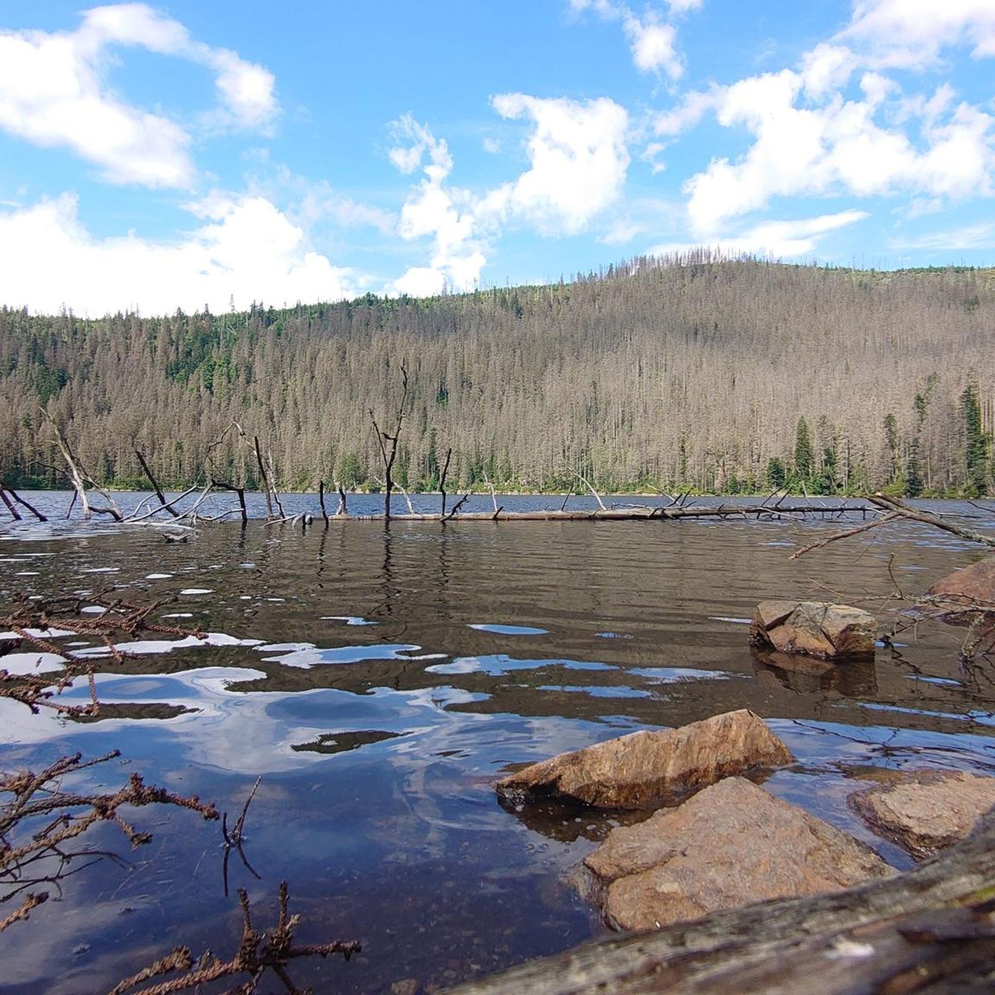
Hiking in Národní Přírodní Rezervace Černé A Čertovo Jezero
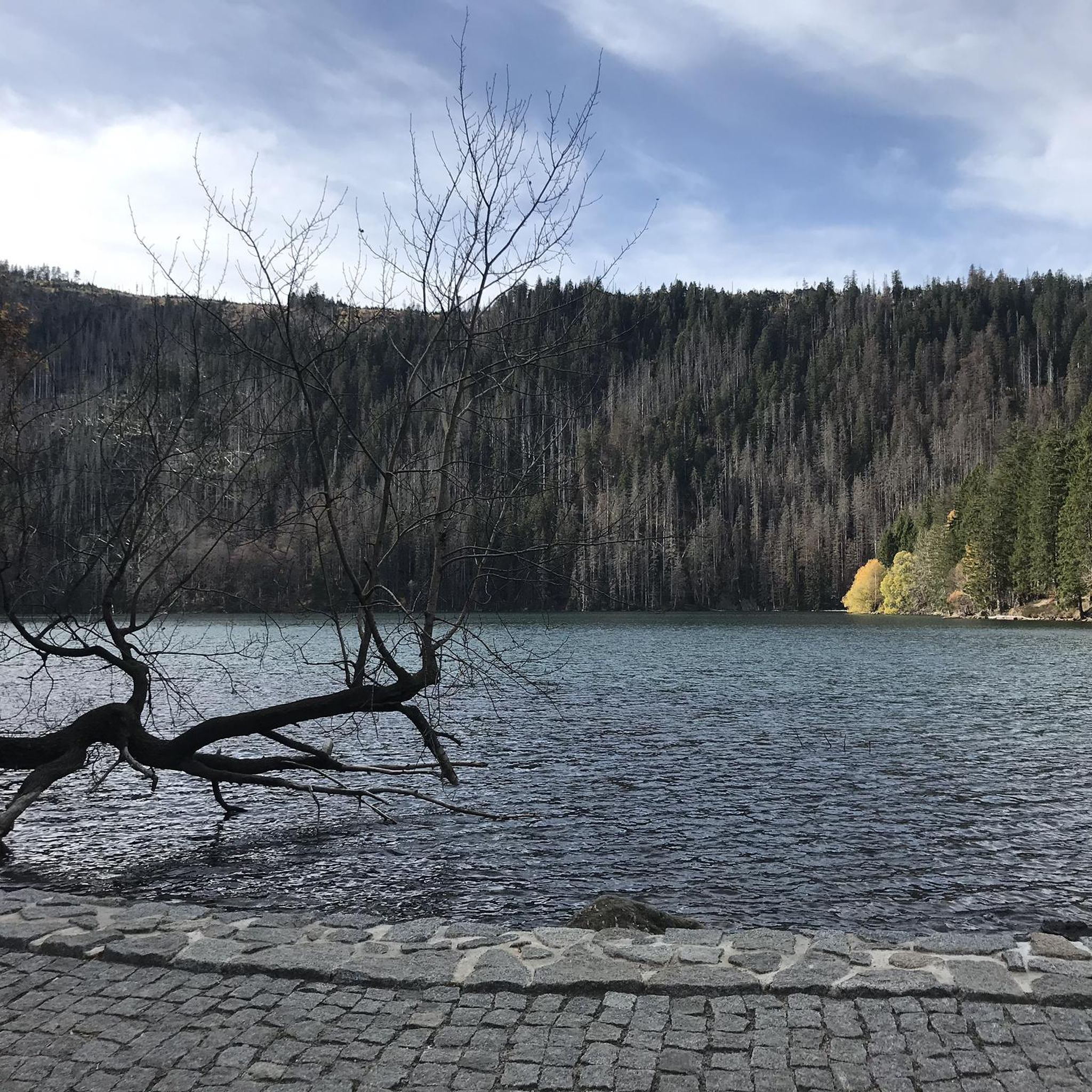
Cycling in Národní Přírodní Rezervace Černé A Čertovo Jezero
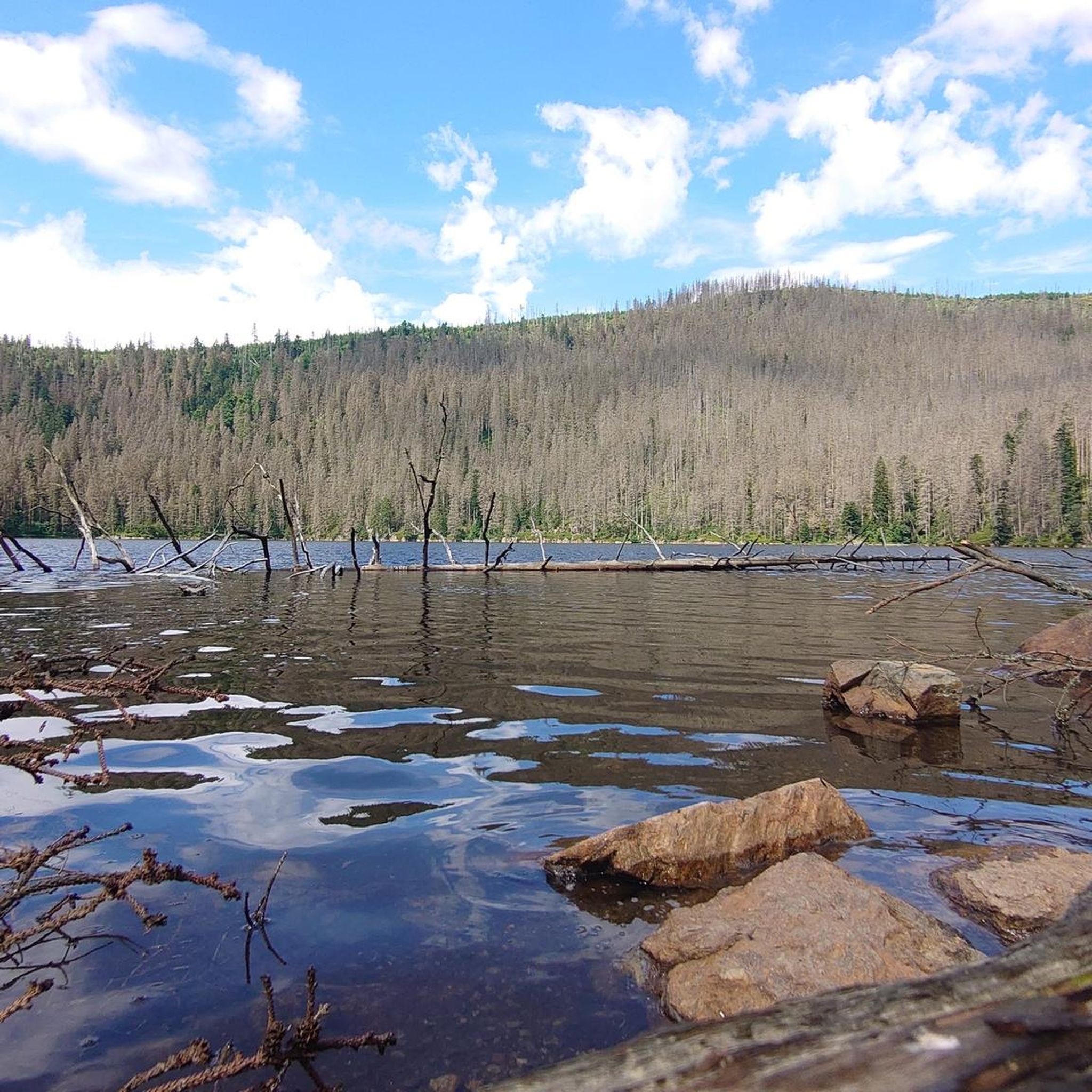
MTB Trails in Národní Přírodní Rezervace Černé A Čertovo Jezero
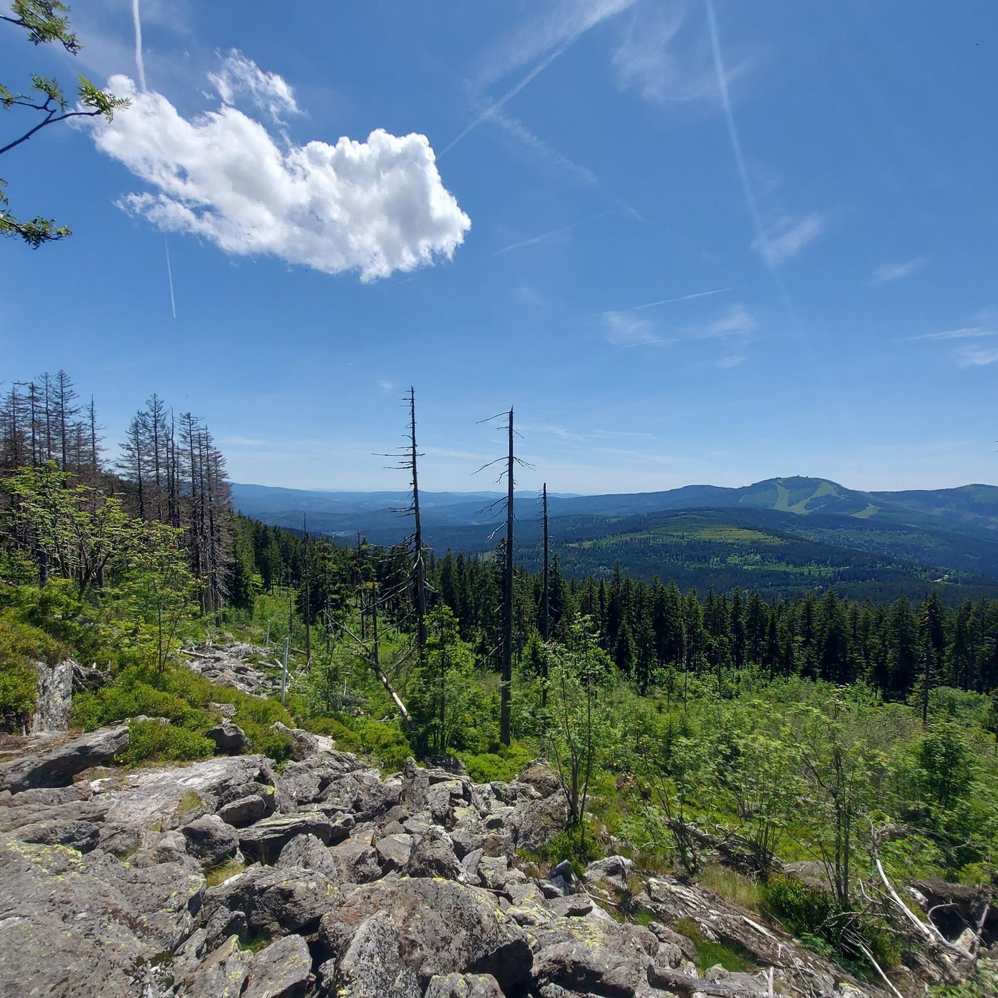
Running Trails in Národní Přírodní Rezervace Černé A Čertovo Jezero
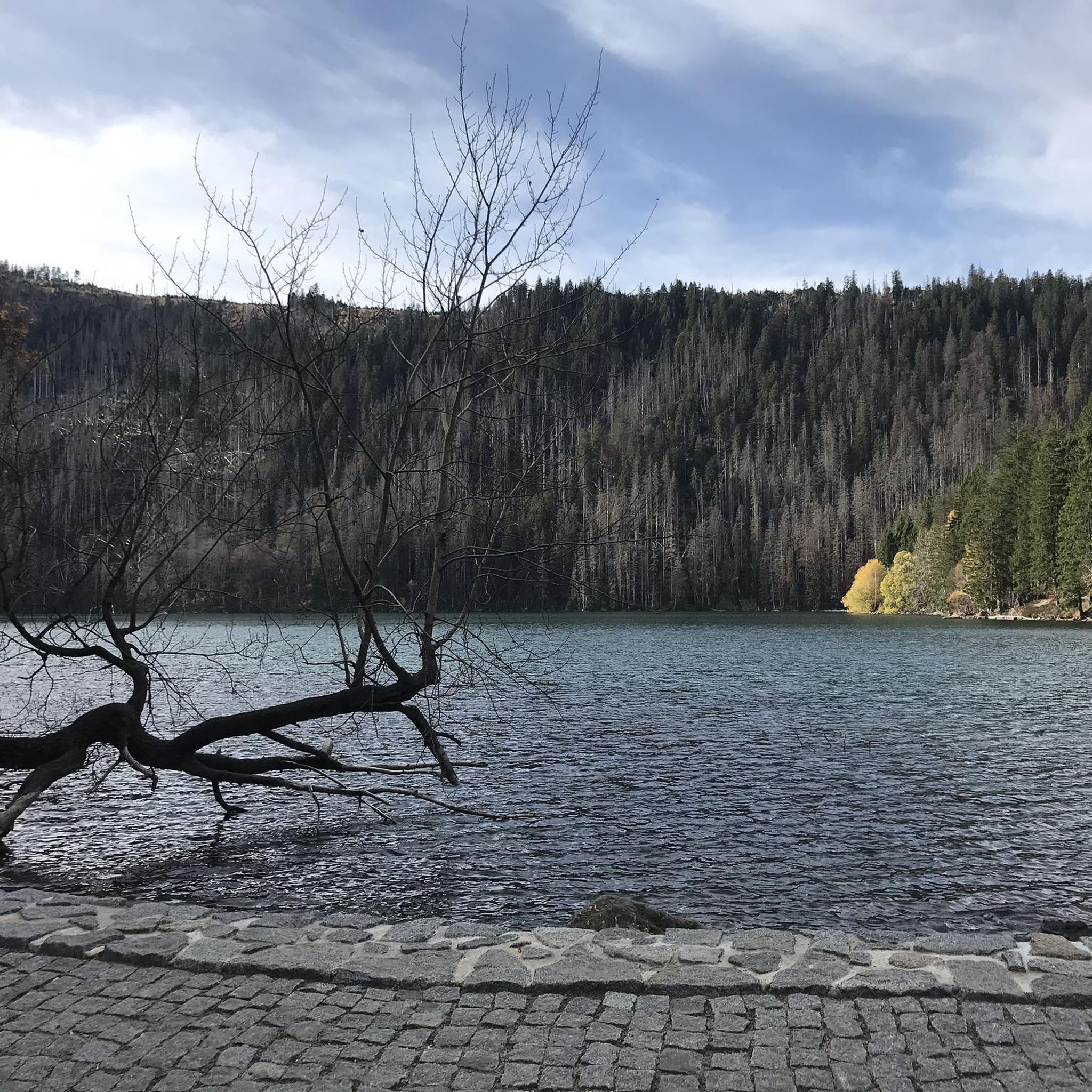
Road Cycling Routes in Národní Přírodní Rezervace Černé A Čertovo Jezero
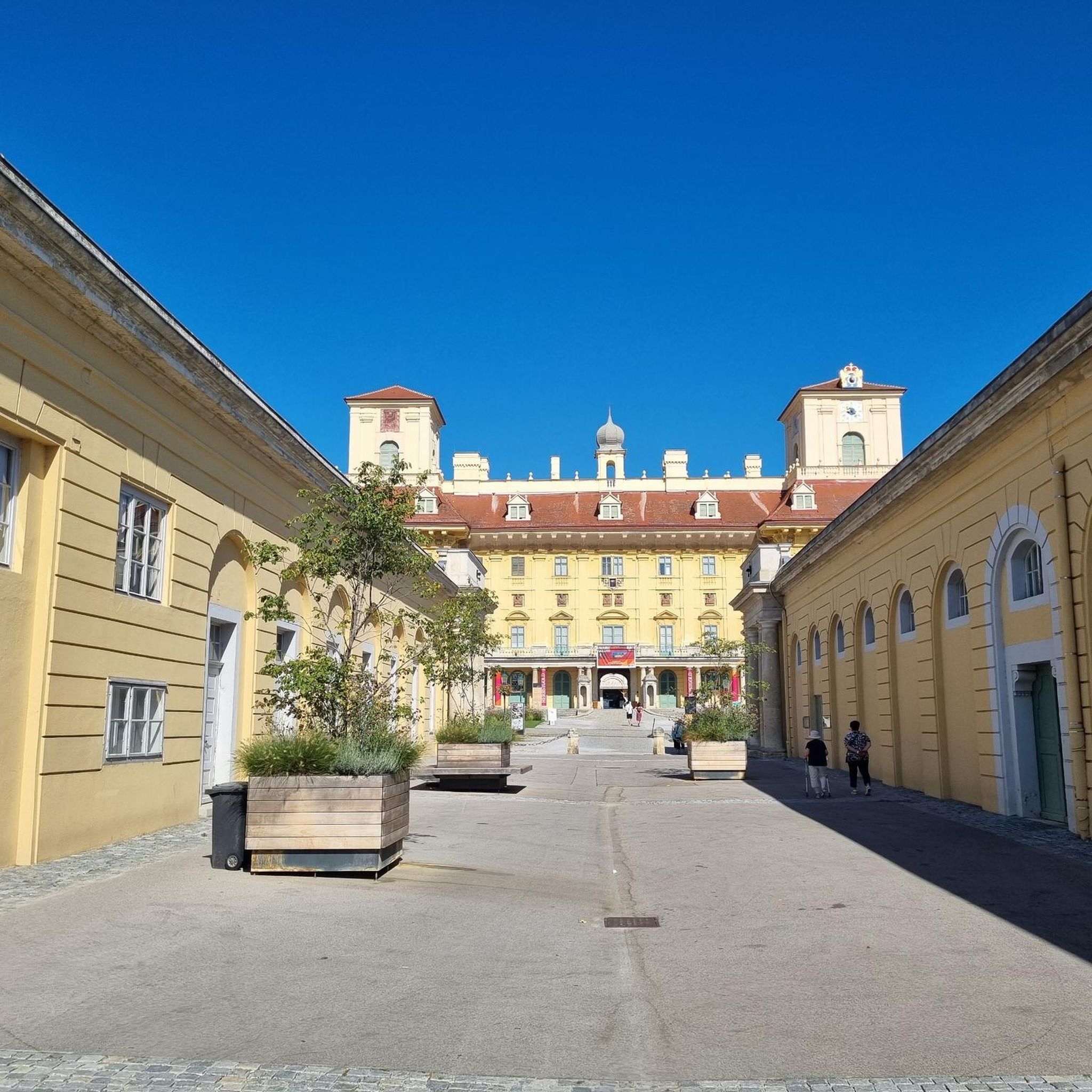
Gravel biking in Národní Přírodní Rezervace Černé A Čertovo Jezero
Tips from the Community


The Zwercheck (Czech: Svaroh) is a 1,333-meter-high mountain in the Bohemian Forest (Künische Gebirge), a mountain ridge between Bavaria and Bohemia. The border between Bavaria in Germany and Bohemia in the Czech Republic runs along the ridge. On the broad, open, rounded summit are a meadow and a small rocky outcrop with a summit cross and good views across to the Großer Arber and the Kaitersberg, and down into the Lamer Winkel valley.
5
1

Only pieces of the foundation of the hut are still visible. A plaque tells the history of the hut.
0
0

The border trail is very rocky and every step has to be well placed. Although the terrain is flat, the trail is still strenuous.
0
0
Great summit or rock ridge, beautiful view into the Czech Republic.
0
0
It's very difficult to cross the border here. 😂
0
0
Beautifully painted, the old border guards still had a lot of time. 😂
0
0
Frequently Asked Questions
How many mountaineering routes are available in Národní Přírodní Rezervace Černé A Čertovo Jezero, and what are their difficulty levels?
There are over 40 mountaineering routes in Národní Přírodní Rezervace Černé A Čertovo Jezero. The majority, around 30, are classified as difficult, offering challenging ascents and demanding terrain. There are also about 9 moderate routes and 1 easy route, providing options for various experience levels.
What kind of terrain can I expect on mountaineering routes in Národní Přírodní Rezervace Černé A Čertovo Jezero?
The terrain is shaped by glacial activity, featuring two prominent glacial lakes, Černé Jezero and Čertovo Jezero, surrounded by dense spruce forests. You'll encounter dramatic features like the Jezerní stěna cliff on Jezerní hora, moraine dams, and significant elevation changes. Routes often involve steep climbs and require sure-footedness.
Are there any circular mountaineering routes in the area?
Yes, several routes offer a circular experience. For example, the Svaroh Summit (1334 m) – Zwercheck Summit Cross loop from Svaroh is a popular circular option. Another is the Svaroh Summit (1334 m) – Border Trail Osser–Zwercheck loop from Svaroh, which traverses varied terrain including sections along the European watershed.
What are some notable natural features or landmarks I can see along the mountaineering routes?
The region is renowned for its glacial lakes. You can visit Černé Jezero (Black Lake), the largest and deepest natural glacial lake in the Czech Republic, and Čertovo Jezero (Devil's Lake). The dramatic Jezerní stěna rock face above Černé Jezero is also a significant landmark. Some routes, like the Border Trail Osser–Zwercheck – Stoamandl Stone Sculpture loop from Neuhütte, lead through rugged moraine walls and elevated viewpoints.
Is mountaineering in Národní Přírodní Rezervace Černé A Čertovo Jezero suitable for families?
While many routes are challenging, there is one route classified as easy, which might be more suitable for families with some hiking experience. However, the majority of mountaineering routes here are rated moderate to difficult, requiring good fitness and sturdy shoes. It's important to check individual route details for suitability.
Can I bring my dog on the mountaineering trails?
As a national nature reserve, specific rules apply. While dogs are generally allowed on marked trails, it's crucial to keep them on a leash. Please note that swimming and dog bathing are prohibited in the glacial lakes to protect the unique ecosystem.
What is the best time of year to go mountaineering in this region?
The warmer months are generally best for mountaineering, offering more accessible trails and pleasant conditions. However, the region also offers opportunities for winter hiking and snowshoeing, provided you have appropriate gear and experience with snow-covered terrain.
Are there any routes that offer views of the European watershed?
Yes, the European watershed is a fascinating geographical feature of the area. Routes such as the Svaroh Summit (1334 m) – Border Trail Osser–Zwercheck loop from Svaroh traverse sections along this watershed, where water from Černé Jezero flows towards the North Sea and water from Čertovo Jezero drains into the Black Sea.
What do other mountaineers enjoy most about the routes in Národní Přírodní Rezervace Černé A Čertovo Jezero?
The area is highly rated by the komoot community, with an average score of 4.8 stars from over 80 reviews. Mountaineers often praise the challenging terrain, the stunning glacial lakes, and the dense spruce forests that create a mystical and serene atmosphere. The dramatic cliffs and elevated viewpoints are also frequently highlighted.
Where can I find parking for the mountaineering routes?
A common starting point for many trails, including those leading to the glacial lakes, is the Špičácké sedlo car park. It's advisable to check specific route descriptions for recommended parking areas near trailheads.
Are there any longer, more challenging mountaineering routes available?
Absolutely. For those seeking a more sustained challenge, the Großer Osser summit – Summit of the Kleiner Osser loop from Sommerau is a difficult route covering over 17 kilometers with significant elevation gain, typically taking over 6.5 hours to complete.
Are there any routes that pass by the Little Arber Lake?
Yes, the Little Arber Lake – Kleiner Arber Summit (1,384 m) loop from Brennes is a moderate mountaineering route that includes the Little Arber Lake and ascends to the Kleiner Arber Summit.
Most popular routes in Národní Přírodní Rezervace Černé A Čertovo Jezero
Most popular attractions in Národní Přírodní Rezervace Černé A Čertovo Jezero

Get inspired with the komoot mobile app


Explore more
Browse the best Mountain Hikes & Routes in other regions.
