The best walks and hikes in Unterer Inn
4.4
(2527)
12,891
hikers
967
hikes
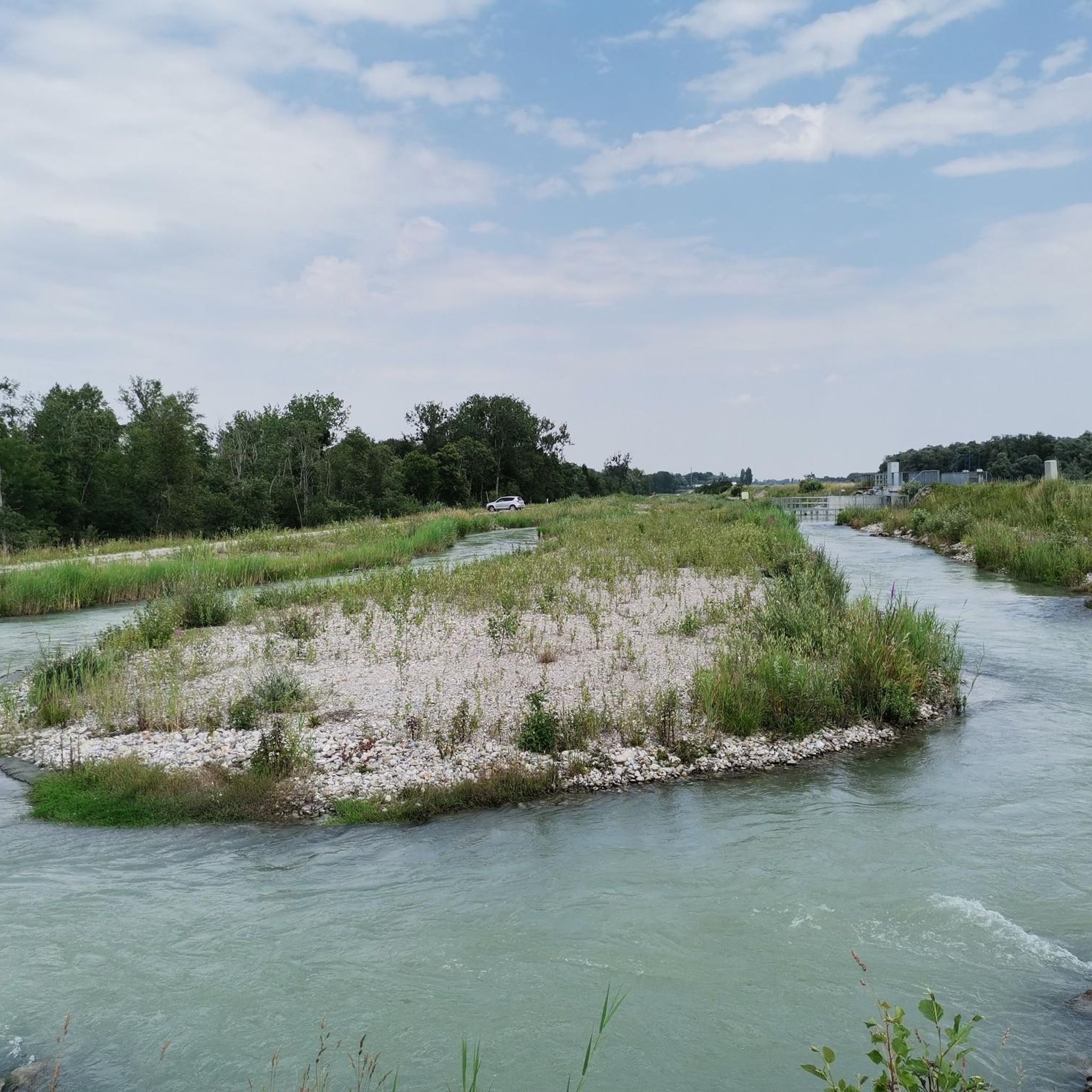
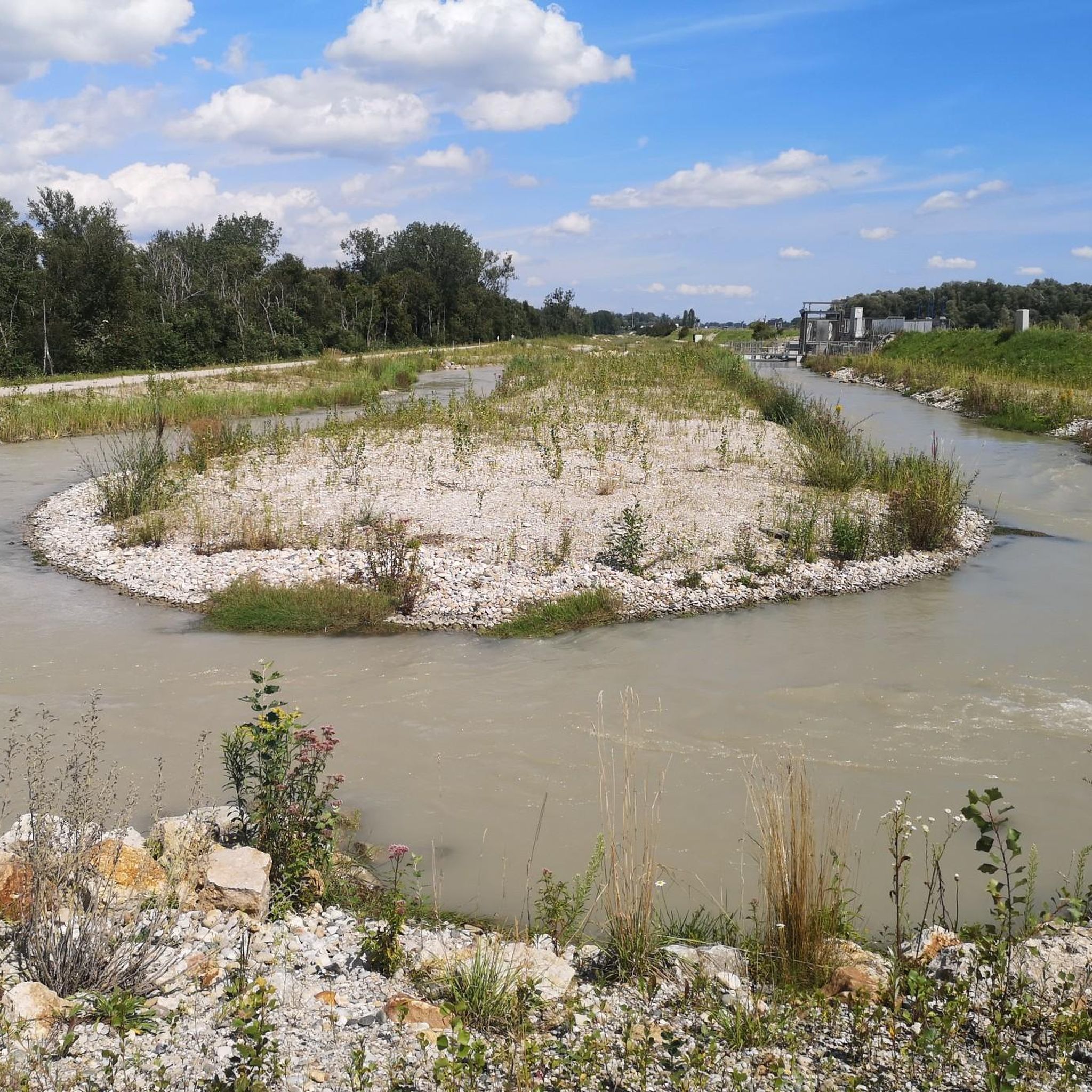
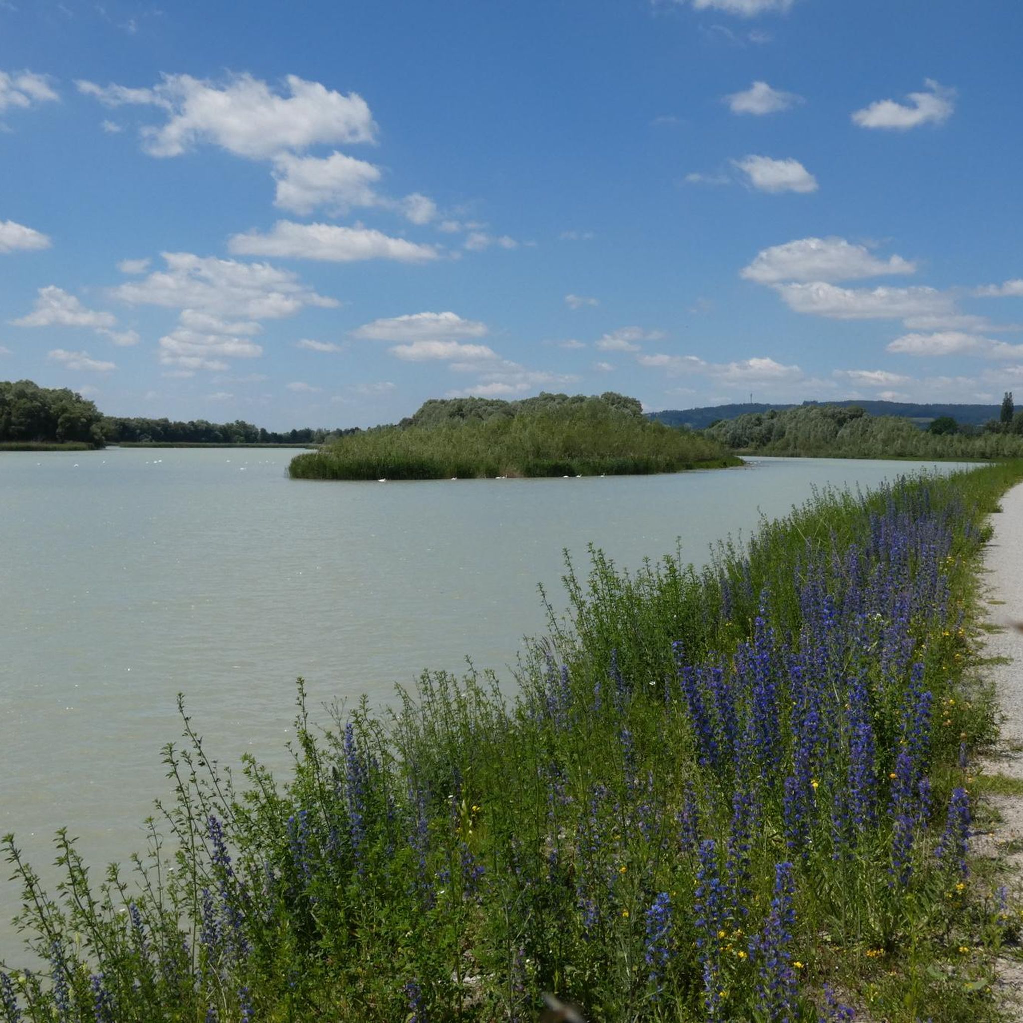
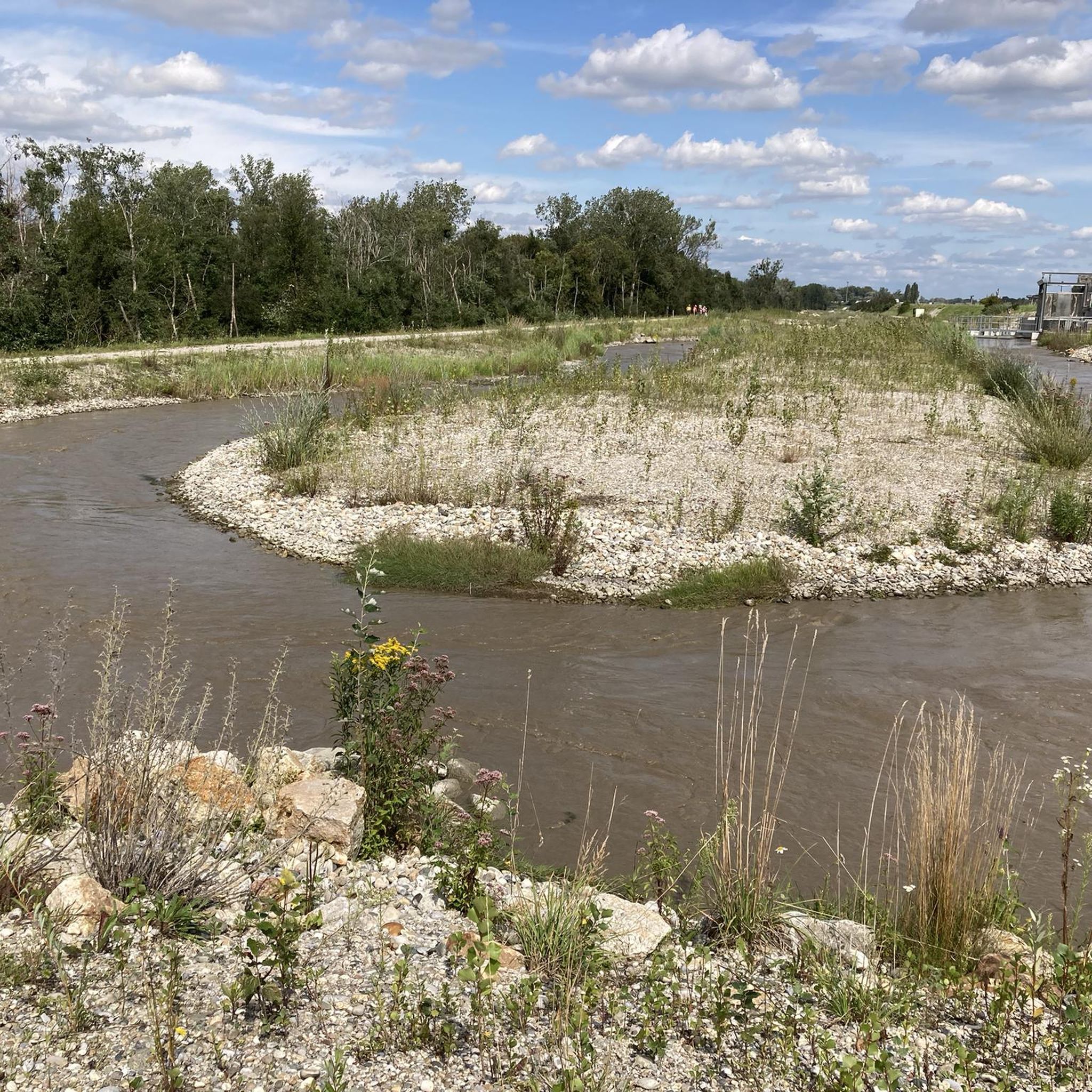
Hiking in Unterer Inn, a European Nature Reserve, is characterized by the Inn River forming diverse habitats along its 34-mile (55 km) stretch. The region features lush riverine vegetation, extensive reed banks, and untouched riparian forests. Wide water surfaces, mudflats, and colorful meadows contribute to a varied landscape, providing a rich environment for outdoor activities.
Best hiking trails in Unterer Inn
- The most popular hiking route is Naturium am Inn – Ering Bypass Waterway loop from Ering, a 3.2…
Last updated: October 7, 2026
4.9
(31)
194
hikers
Easy hike. Great for any fitness level. Easily-accessible paths. Suitable for all skill levels.
4.5
(28)
114
hikers
Easy hike. Great for any fitness level. Easily-accessible paths. Suitable for all skill levels.

4.4
(5)
50
hikers
Moderate hike. Good fitness required. Easily-accessible paths. Suitable for all skill levels.
4.6
(40)
157
hikers
8.82km
02:14
20m
20m
Moderate hike. Good fitness required. Easily-accessible paths. Suitable for all skill levels.
4.0
(10)
43
hikers
5.26km
01:20
10m
10m
Easy hike. Great for any fitness level. Easily-accessible paths. Suitable for all skill levels.
Get access to more routes and recommendations from other explorers.
Already have an account?
Our route recommendations are based on thousands of hikes, rides, and runs completed by other people on komoot.
Start today with a free account
Your next adventure awaits.

Tips from the Community


Event location directly on the Inn. Nice for a well-kept cyclist
0
0

Of course, there are also many possibilities here
0
0


Natural History Museum-Naturium Inn in Ering, Lower Inn European Nature Reserve
0
0
The border crossing to Bavaria
0
0

Here you can easily cross the Inn and the border.
1
0
Frequently Asked Questions
How many hiking trails are available in Unterer Inn?
The Unterer Inn region offers a wide variety of hiking opportunities, with over 900 trails available. These routes cater to different preferences, ranging from easy strolls to more challenging hikes.
What are the typical difficulty levels for hiking trails in Unterer Inn?
You'll find a good mix of difficulty levels. Over 570 trails are classified as easy, perfect for leisurely walks. There are also more than 350 moderate routes for those seeking a bit more challenge, and a few difficult trails for experienced hikers. Easy trails typically involve minimal elevation gain and are up to 2 hours long, while moderate routes can extend up to 5 hours with more elevation.
Are there family-friendly hiking routes in Unterer Inn?
Yes, the Unterer Inn region is very popular with families. Many trails are suitable for all ages, offering a kilometer-long network of paths for walking and cycling. The area's pristine natural landscape provides a relaxing environment for family outings. Consider routes like the Frauenstein Castle – Ering Bypass Waterway loop from Mining, which is an easy 5.8 km path.
Can I bring my dog on the hiking trails in Unterer Inn?
The Unterer Inn is a European Nature Reserve, and while dogs are generally welcome, it's important to keep them on a leash to protect the rich biodiversity, especially the numerous bird species and other wildlife. Always respect local signage regarding pet regulations.
What kind of natural features can I expect to see along the trails?
The Inn River is the central feature, creating diverse habitats. You'll encounter lush riverine vegetation, extensive reed banks, untouched riparian forests, and wide water surfaces. The region is also known for its colorful meadows and geological diversity, offering a picturesque and varied landscape.
Are there any specific viewpoints or bird-watching opportunities?
Absolutely. The Unterer Inn is a renowned birdwatching paradise, home to around 300 bird species. Observation points, such as the one near Minaberg, offer excellent views. The Eglsee Bird-Watching Tower is a key spot, and you can reach it via the Ering Bypass Waterway – Eglsee Bird-Watching Tower loop from Schloss Hagenau.
What is the best time of year to go hiking in Unterer Inn?
The region is beautiful year-round, but spring and autumn are particularly special for birdwatching due to migration seasons. The lush vegetation is vibrant in spring and summer, while autumn brings colorful foliage. Always check local weather conditions before heading out.
Are there any circular hiking routes in the area?
Yes, many of the trails in Unterer Inn are designed as loops, allowing you to start and end at the same point. A popular example is the Naturium am Inn – Eglsee Observation Tower loop from Ering, which is a moderate 8.5 km trail.
What can I learn about the region's nature and wildlife?
The Naturium am Inn, a cross-border visitor and environmental education center, is an excellent starting point. It offers interactive exhibitions and information on the local habitats, including around 800 species of butterflies, bats, beavers, frogs, and native plants like orchids.
What do other hikers enjoy most about hiking in Unterer Inn?
The area is highly rated by the komoot community, with an average score of 4.4 stars from over 2,000 reviews. Hikers often praise the tranquil natural landscape, the diverse birdlife, and the well-maintained paths that offer deep relaxation and a chance to connect with nature.
Are there any historical or cultural landmarks near the hiking trails?
Beyond the natural beauty, the broader region features historical market squares, castles, and churches. For example, the Frauenstein Castle – Burgschänke Frauenstein loop from Ering offers a chance to explore the area around Frauenstein Castle.
Is parking available at the trailheads?
Yes, many popular trailheads and starting points, especially near visitor centers like Naturium am Inn, offer designated parking facilities for hikers. It's always advisable to check specific route details for parking information.
Can I reach the hiking areas using public transport?
While specific public transport options vary, the region is generally accessible. For detailed information on bus or train connections to specific starting points, it's best to consult local transport schedules for the towns surrounding the Unterer Inn nature reserve.
Most popular routes in Unterer Inn
Most popular attractions in Unterer Inn

Get inspired with the komoot mobile app


Explore more
Browse the best Hikes in other regions.
